Elevation of Meherrin River, VA, USA
Location: United States > Virginia > Lunenburg County >
Longitude: -78.270395
Latitude: 37.0343803
Elevation: 174m / 571feet
Barometric Pressure: 99KPa
Elevation Map:
Satellite Map:
Related Photos:
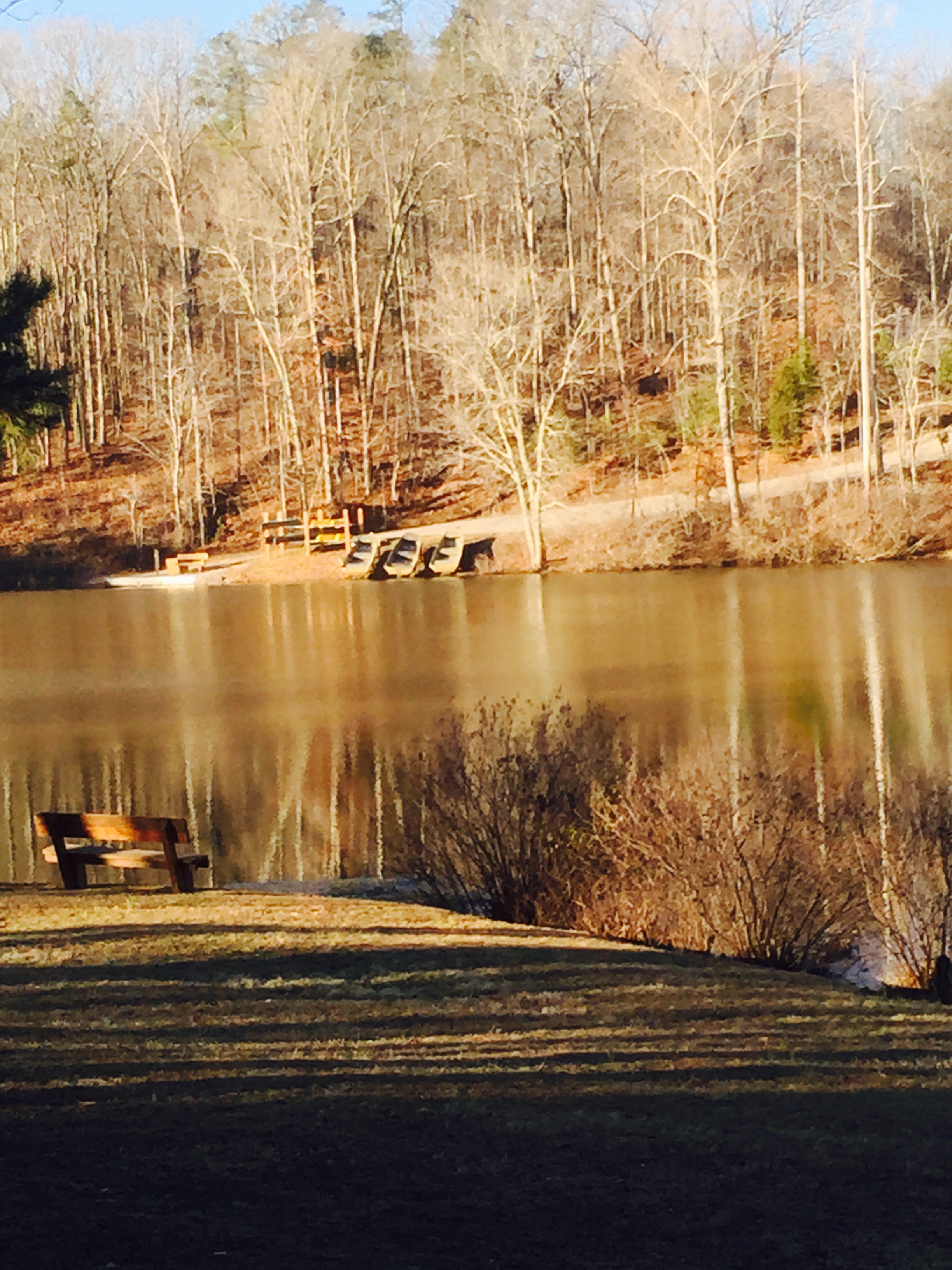
vertical view of lake from cabin 4
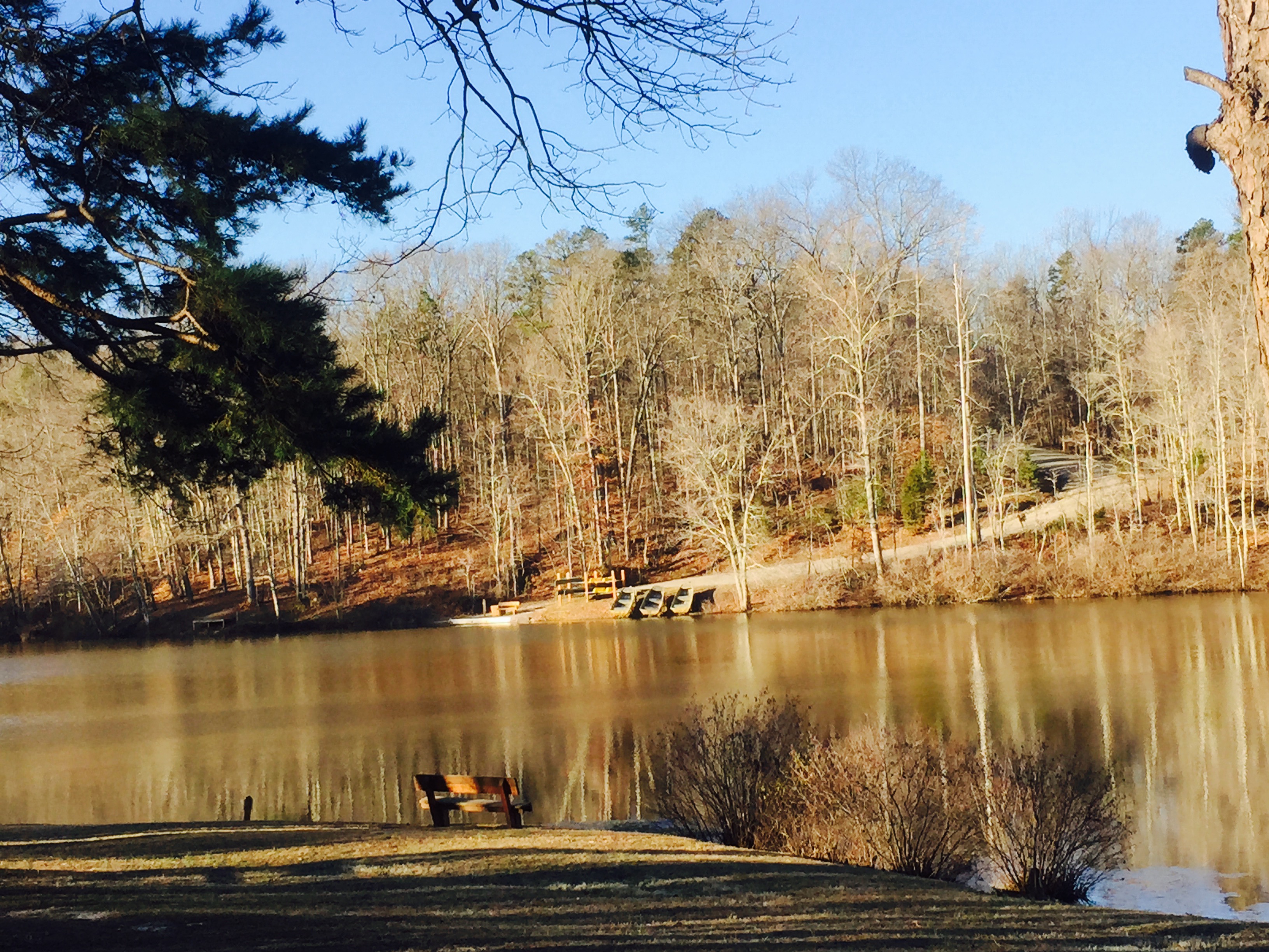
horizontal view of lake from cabin 4
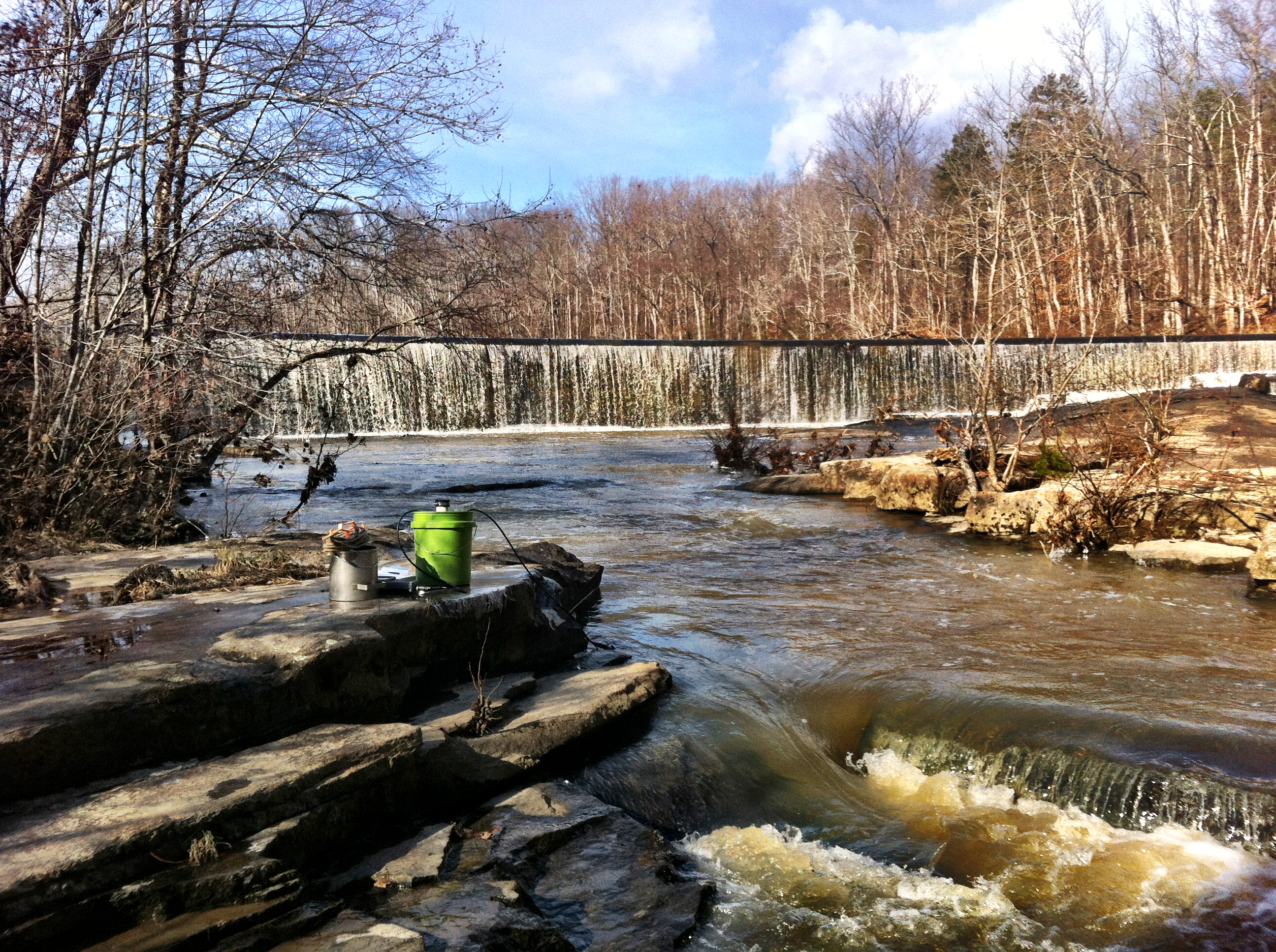
Surprise! Falls Relatively Close to Home - Nottoway Falls
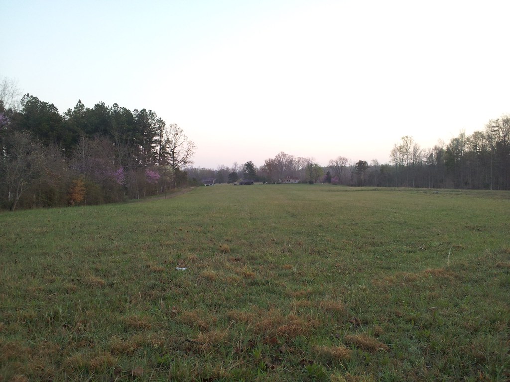
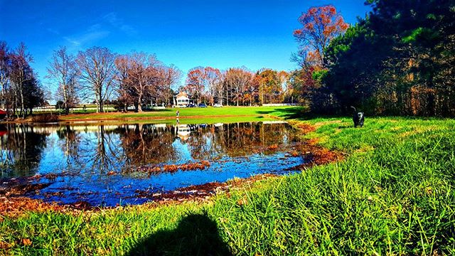
Looking at the Field

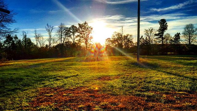
Country Evening
Happy Thanksgiving everyone!! #instadog #dogsofinstagram
Went on a #nice #walk after...
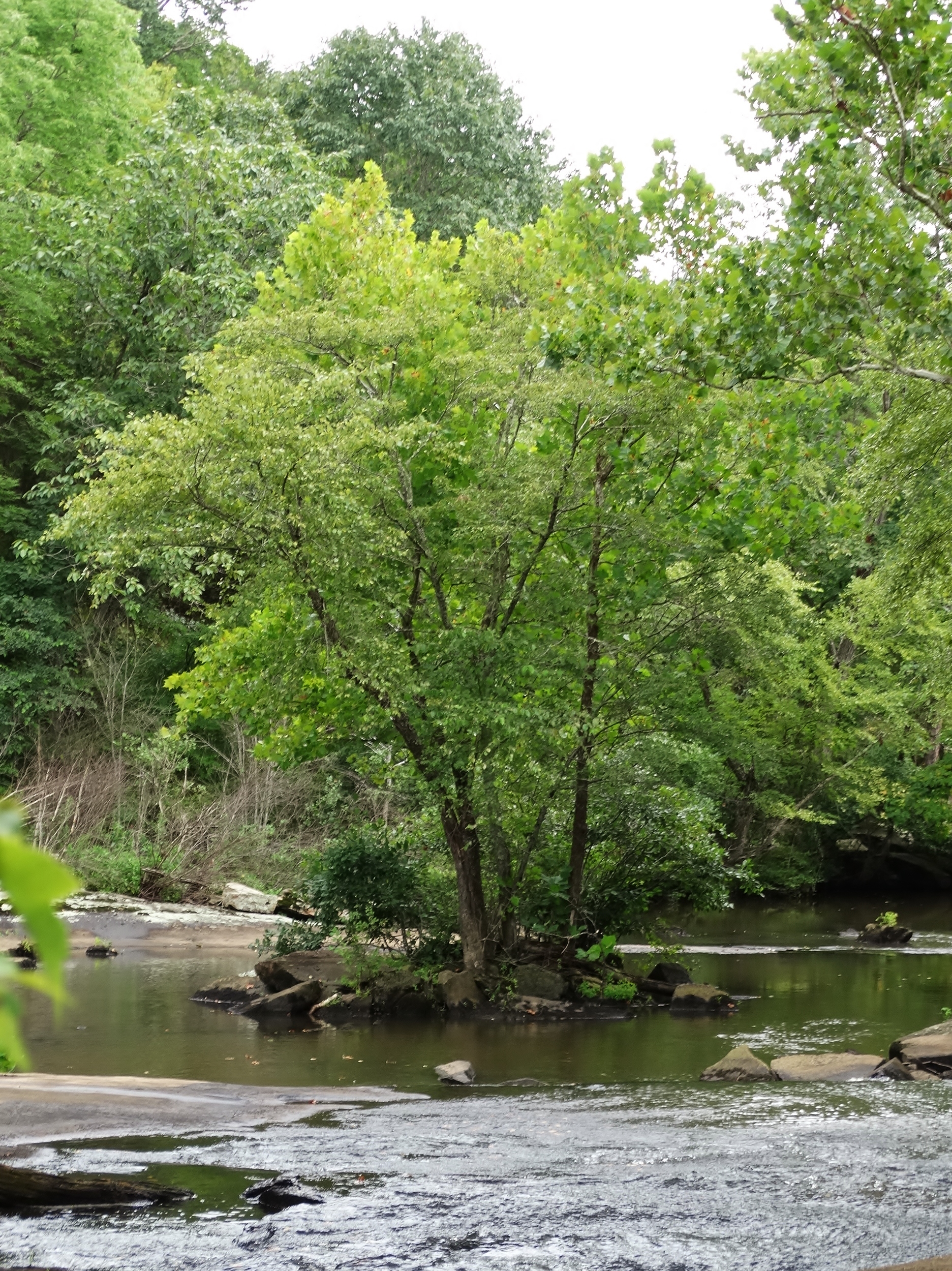
Nottoway Falls 2
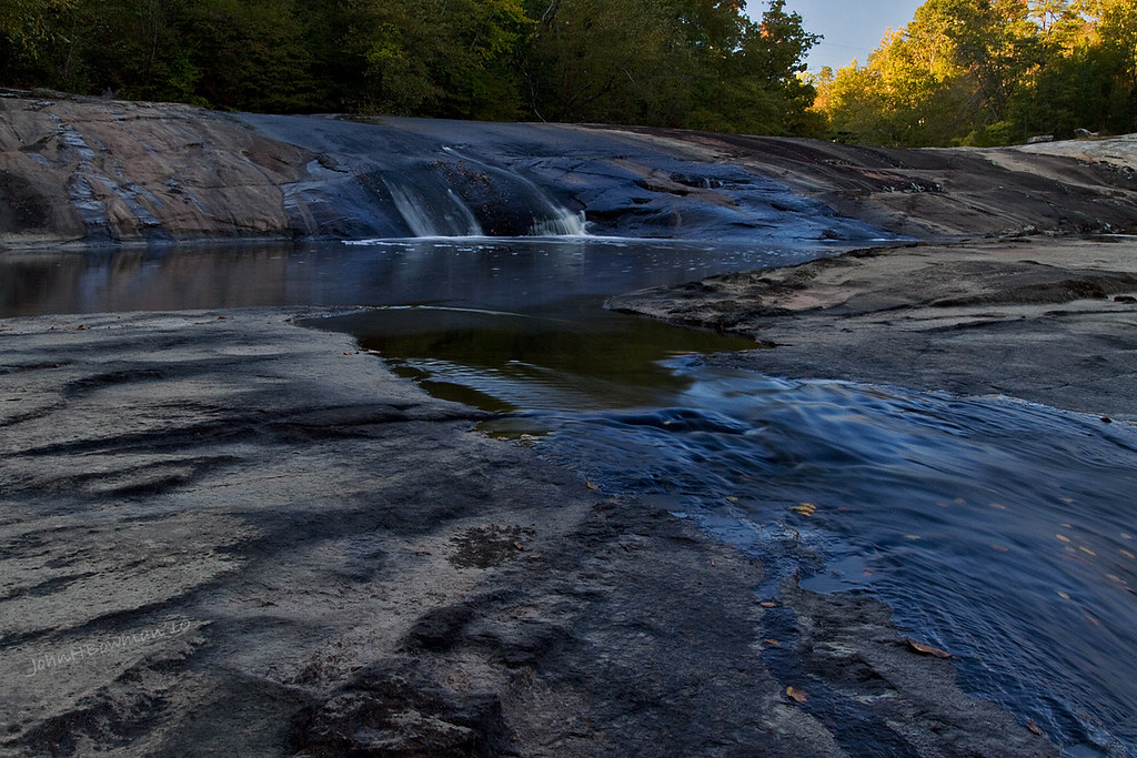
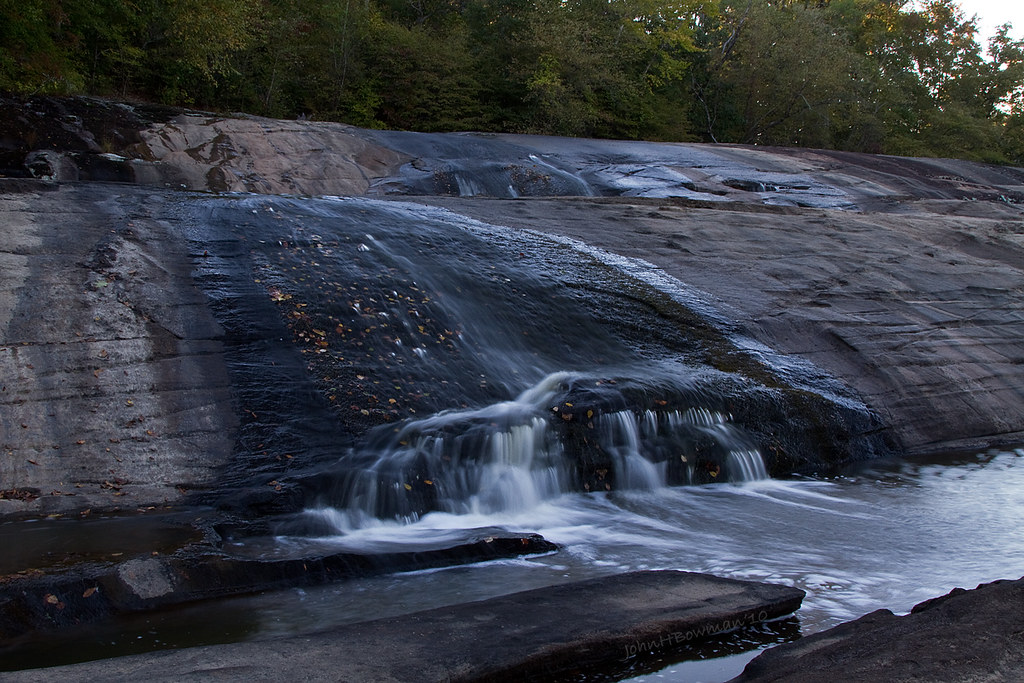
Falls of the Nottoway
The Falls (8.10.15)
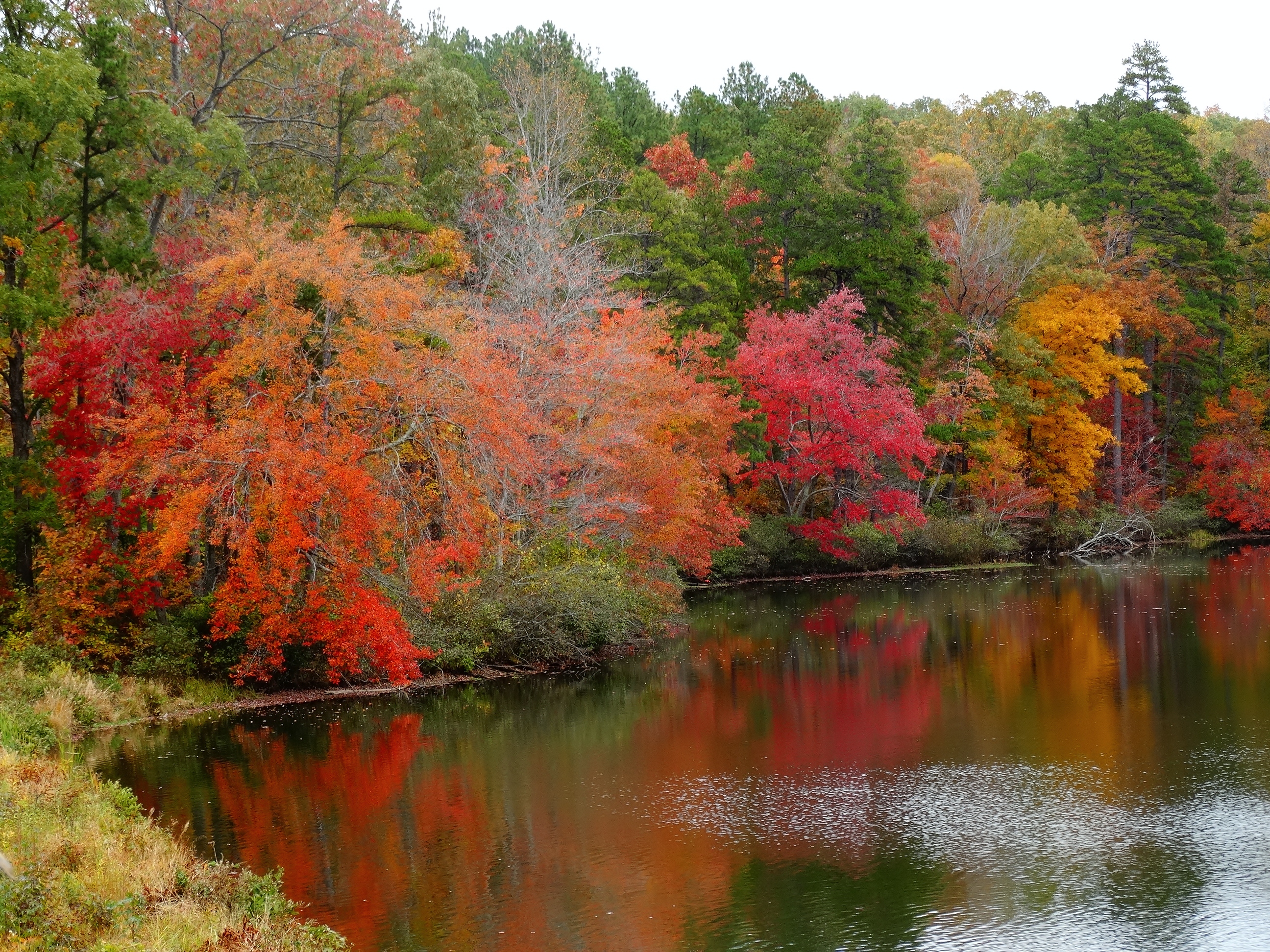
Fall Colors at Twin Lakes (10.24.15)
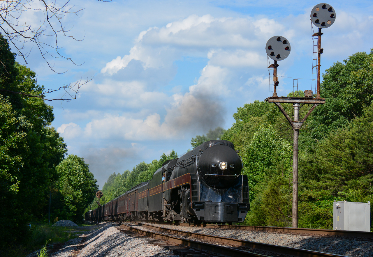
NS/N&W @ Jenkins, VA.

Hungry Mothers
Topographic Map of Meherrin River, VA, USA
Find elevation by address:

Places in Meherrin River, VA, USA:
Places near Meherrin River, VA, USA:
1604 Battes Rd
Overton Road
Victoria
Lunenburg
Lunenburg County
Mooores Ordinary Rd, Meherrin, VA, USA
Meherrin
1, VA, USA
Schultz Mill Road
677 Reedy Creek Rd
319 Main St
Falkland Road
VA-40, Kenbridge, VA, USA
VA, USA
Burkeville
Mountain Creek Road
Sneads Store Rd, Kenbridge, VA, USA
1471 New Bethel Rd
35 E Colonial Trail Hwy, Burkeville, VA, USA
Green Bay Road
Recent Searches:
- Elevation of 3 Nestling Wood Dr, Long Valley, NJ, USA
- Elevation of Ilungu, Tanzania
- Elevation of Yellow Springs Road, Yellow Springs Rd, Chester Springs, PA, USA
- Elevation of Rēzekne Municipality, Latvia
- Elevation of Plikpūrmaļi, Vērēmi Parish, Rēzekne Municipality, LV-, Latvia
- Elevation of 2 Henschke Ct, Caboolture QLD, Australia
- Elevation of Redondo Ave, Long Beach, CA, USA
- Elevation of Sadovaya Ulitsa, 20, Rezh, Sverdlovskaya oblast', Russia
- Elevation of Ulitsa Kalinina, 79, Rezh, Sverdlovskaya oblast', Russia
- Elevation of 72-31 Metropolitan Ave, Middle Village, NY, USA