Elevation of Battes Rd, Victoria, VA, USA
Location: United States > Virginia > Lunenburg County > Meherrin River > Victoria >
Longitude: -78.255594
Latitude: 37.0318764
Elevation: 147m / 482feet
Barometric Pressure: 100KPa
Elevation Map:
Satellite Map:
Related Photos:
Surprise! Falls Relatively Close to Home - Nottoway Falls

Country Evening
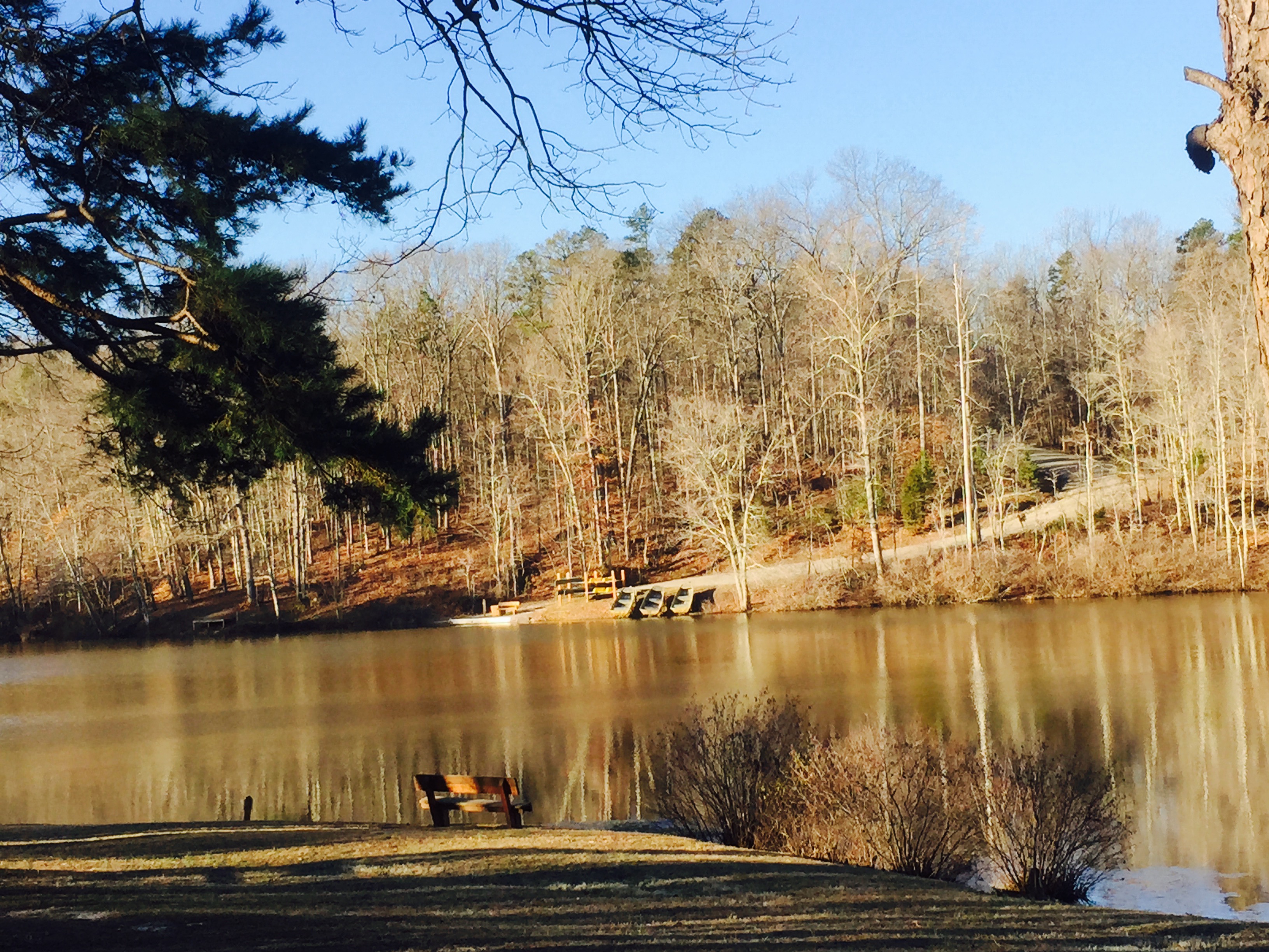
vertical view of lake from cabin 4
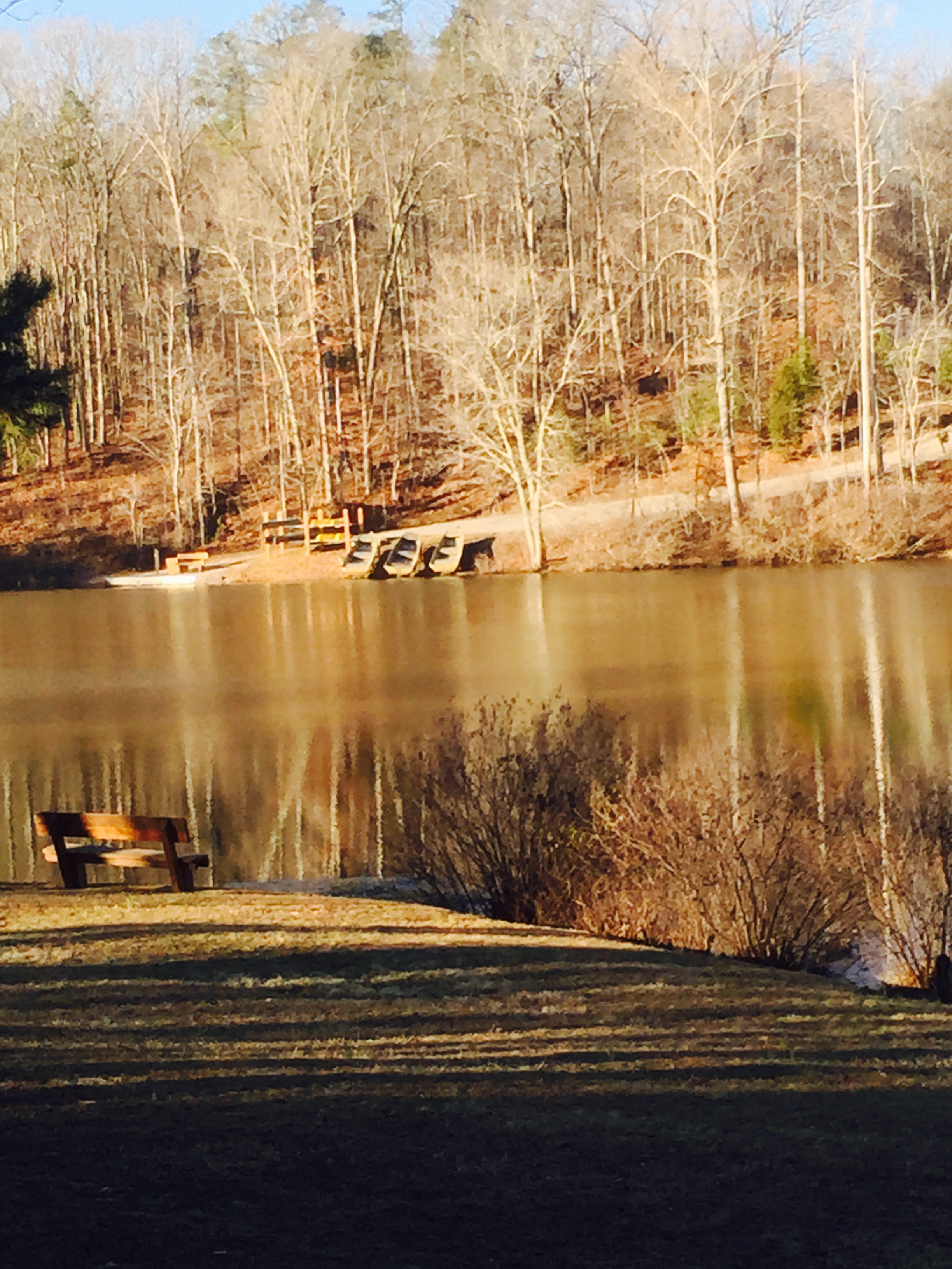
horizontal view of lake from cabin 4
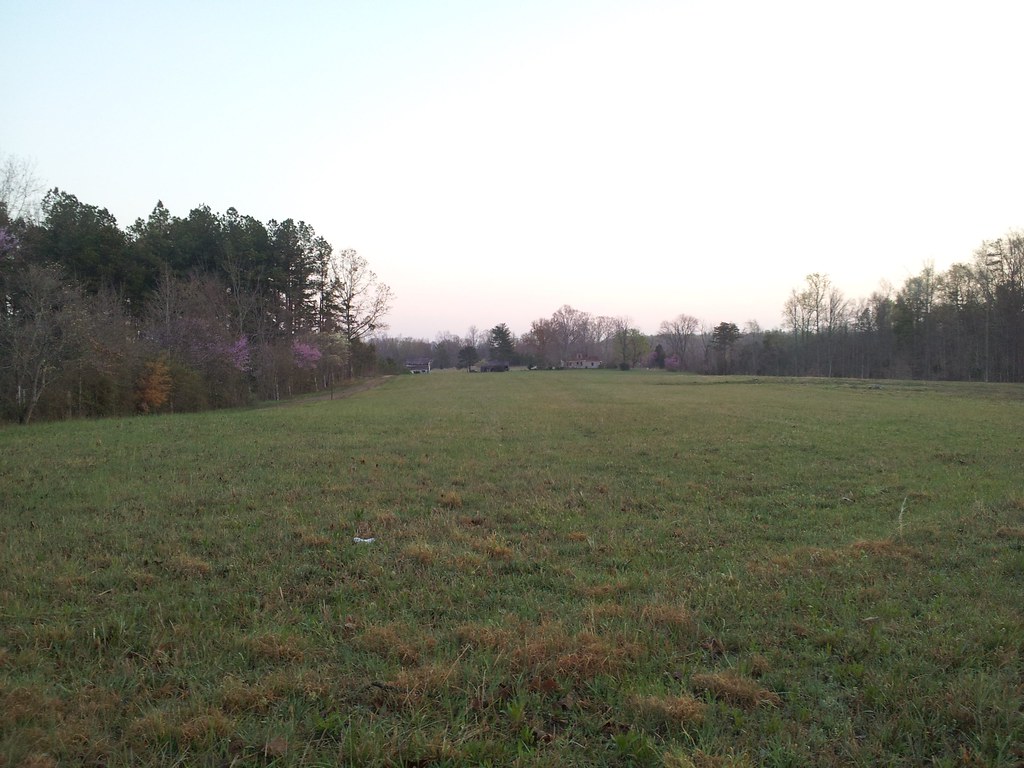
Looking at the Field
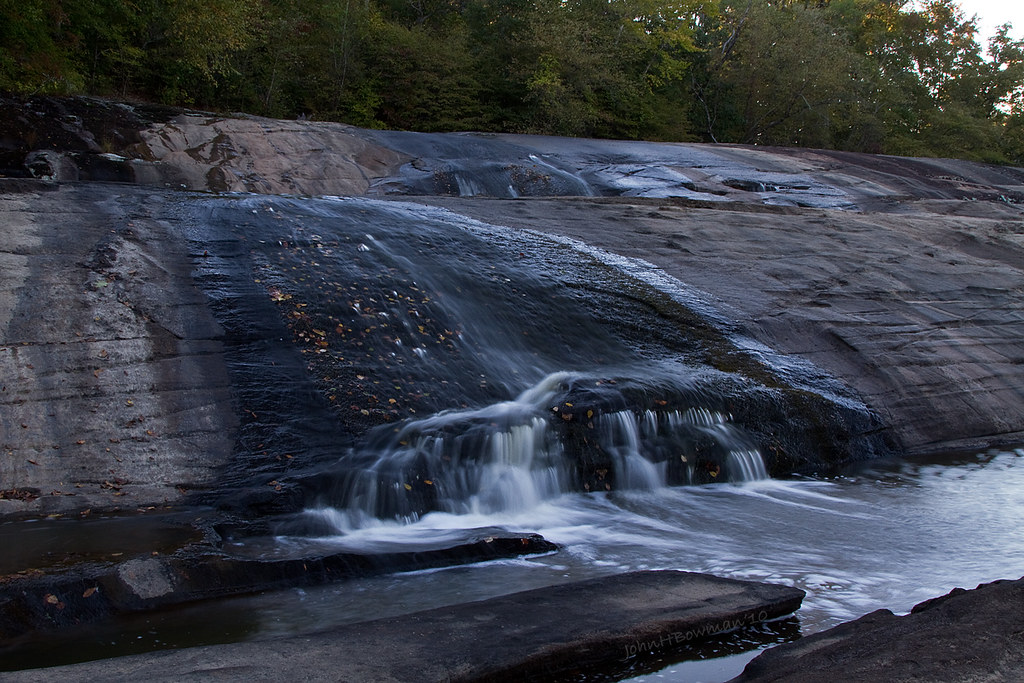
Nottoway Falls 2
Happy Thanksgiving everyone!! #instadog #dogsofinstagram
Went on a #nice #walk after...
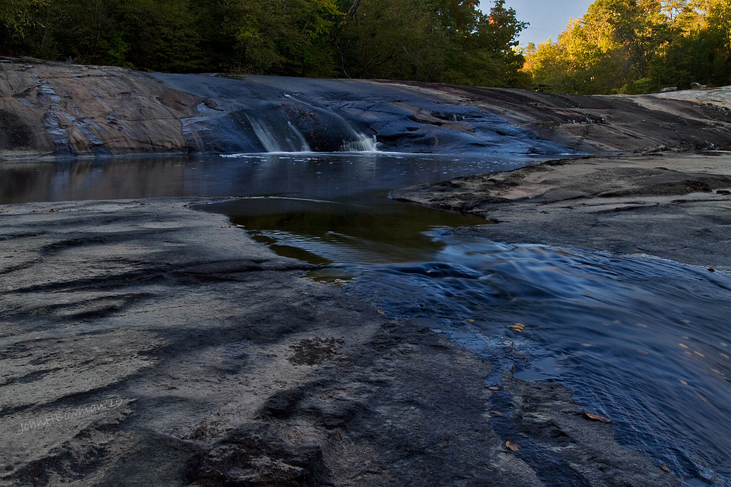
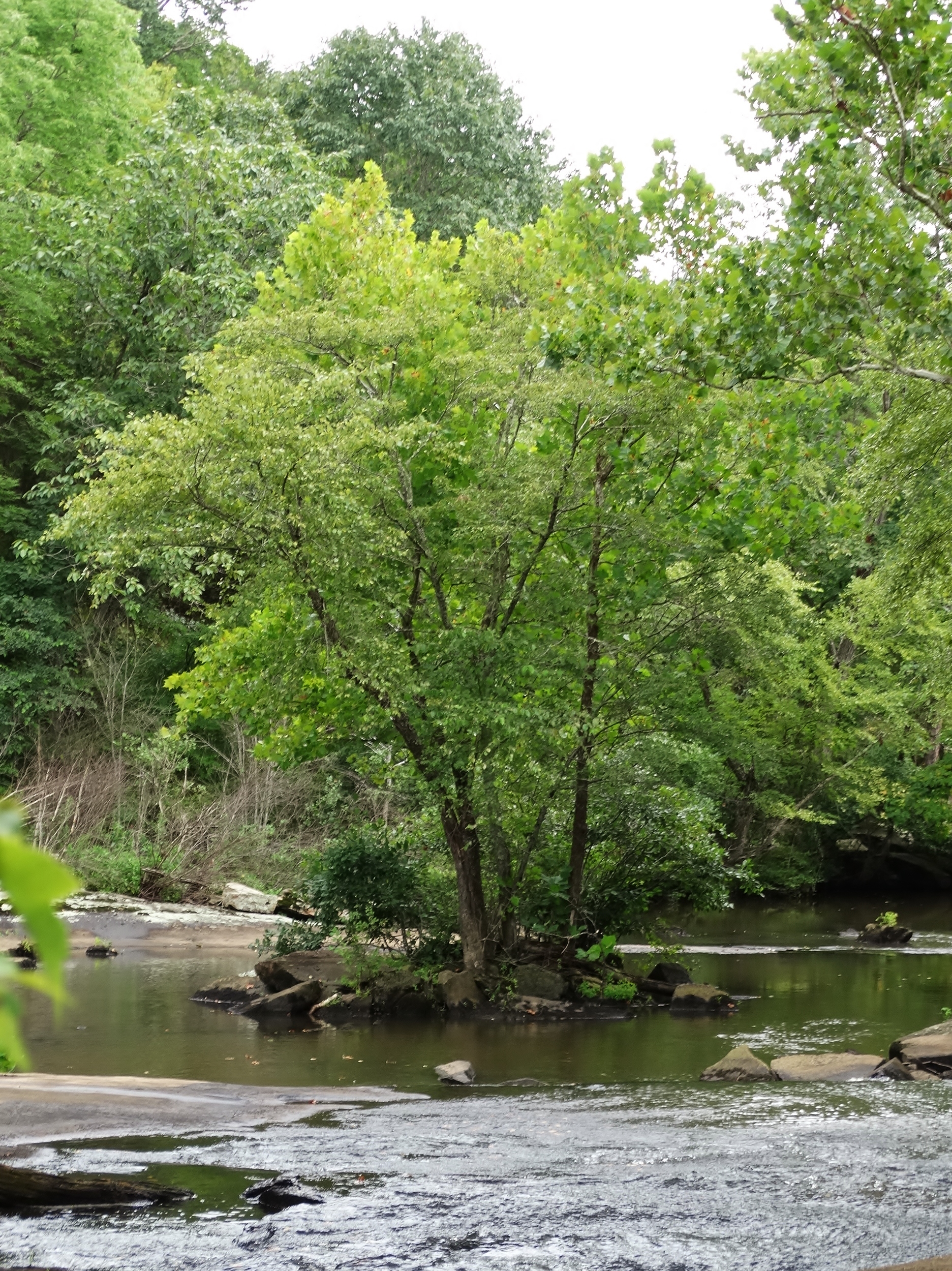
Falls of the Nottoway
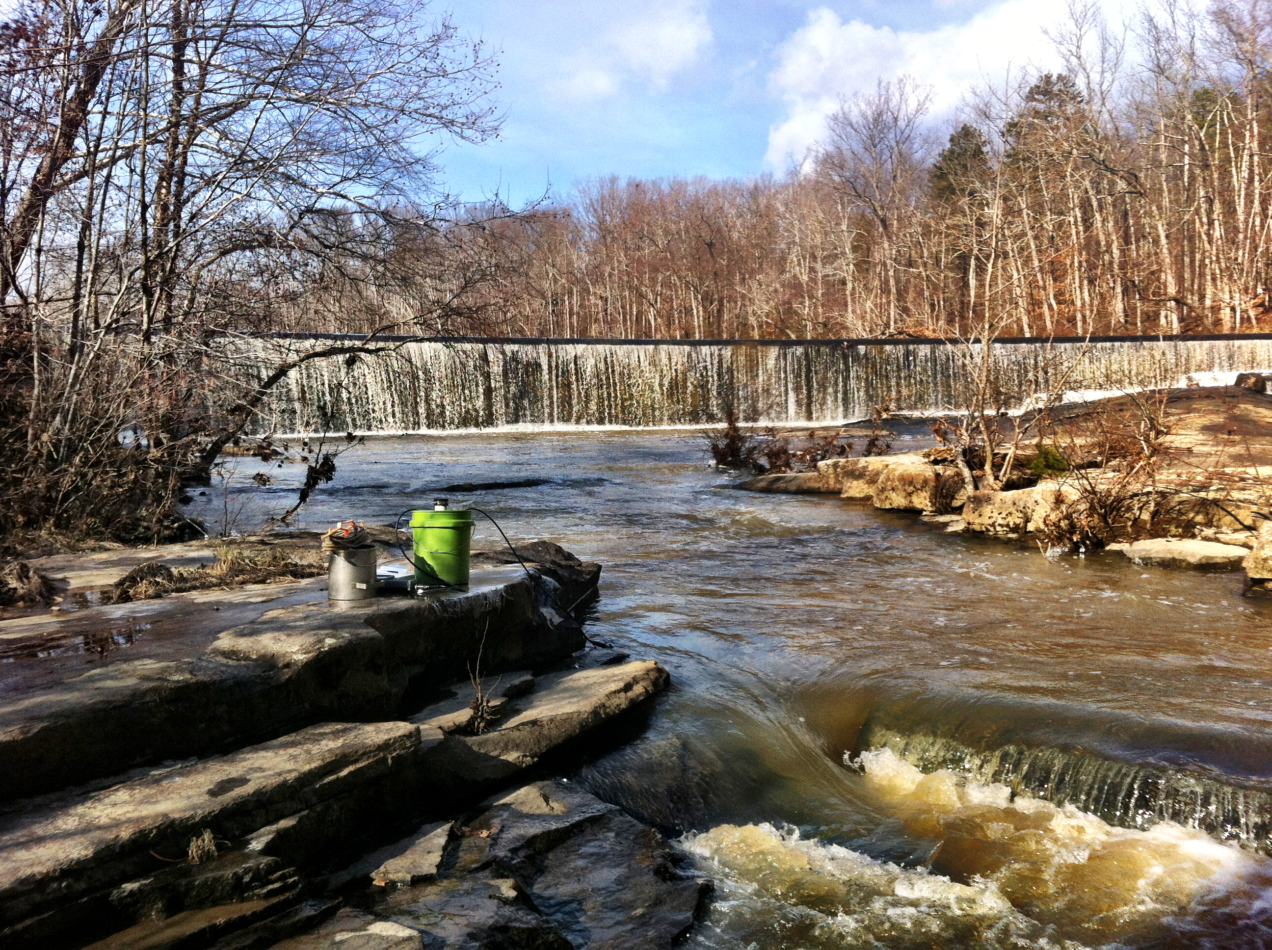
The Falls (8.10.15)
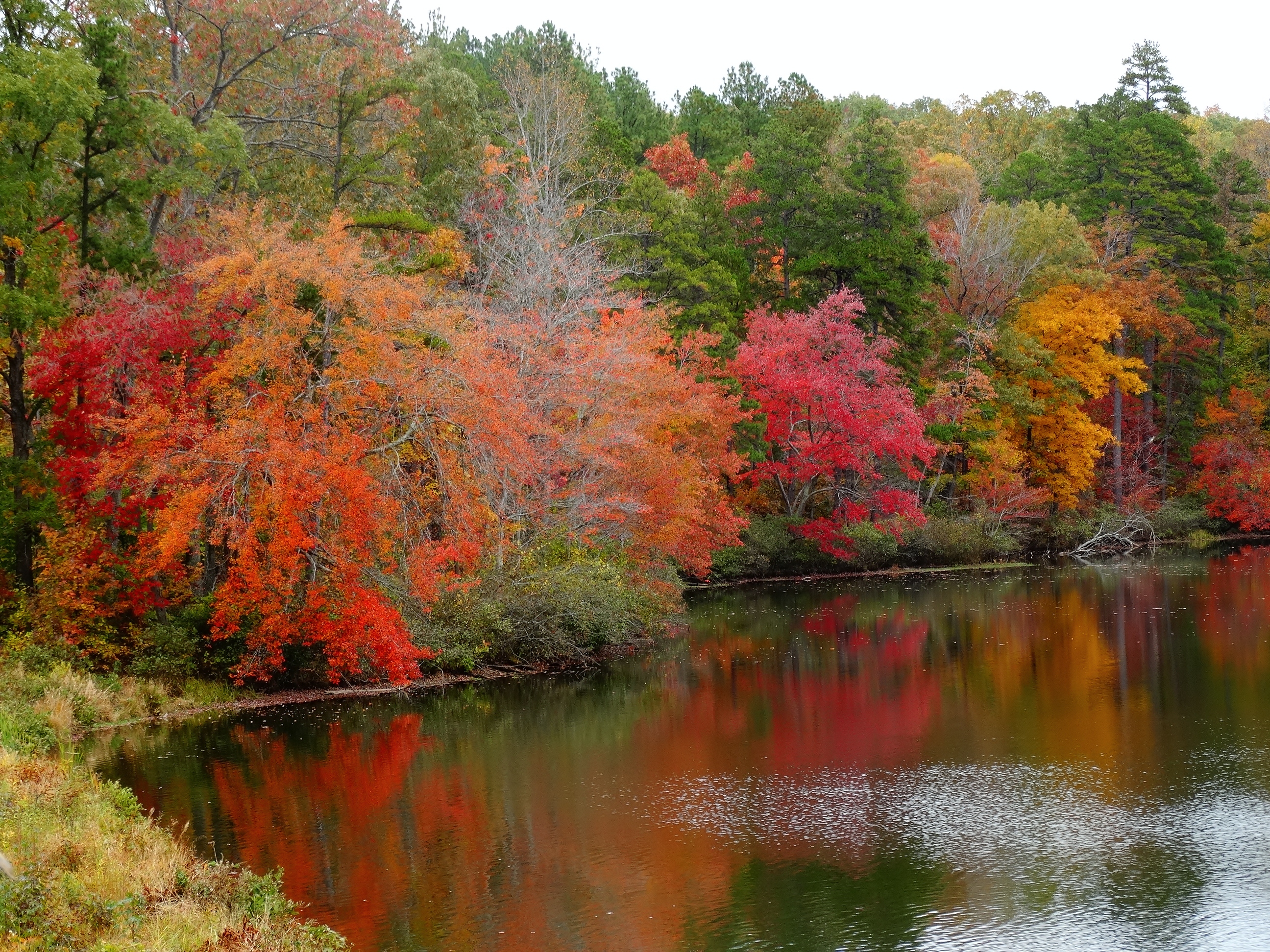
Fall Colors at Twin Lakes (10.24.15)
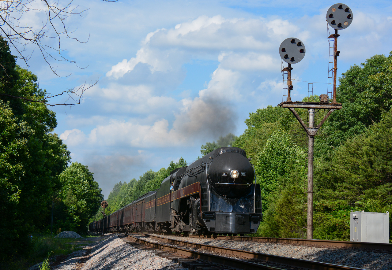
NS/N&W @ Jenkins, VA.

Hungry Mothers
Topographic Map of Battes Rd, Victoria, VA, USA
Find elevation by address:

Places near Battes Rd, Victoria, VA, USA:
Meherrin River
Overton Road
Victoria
Lunenburg
Lunenburg County
1, VA, USA
Mooores Ordinary Rd, Meherrin, VA, USA
Meherrin
677 Reedy Creek Rd
Schultz Mill Road
319 Main St
VA-40, Kenbridge, VA, USA
Sneads Store Rd, Kenbridge, VA, USA
Burkeville
VA, USA
Falkland Road
35 E Colonial Trail Hwy, Burkeville, VA, USA
Mountain Creek Road
1471 New Bethel Rd
Green Bay Road
Recent Searches:
- Elevation of 3 Nestling Wood Dr, Long Valley, NJ, USA
- Elevation of Ilungu, Tanzania
- Elevation of Yellow Springs Road, Yellow Springs Rd, Chester Springs, PA, USA
- Elevation of Rēzekne Municipality, Latvia
- Elevation of Plikpūrmaļi, Vērēmi Parish, Rēzekne Municipality, LV-, Latvia
- Elevation of 2 Henschke Ct, Caboolture QLD, Australia
- Elevation of Redondo Ave, Long Beach, CA, USA
- Elevation of Sadovaya Ulitsa, 20, Rezh, Sverdlovskaya oblast', Russia
- Elevation of Ulitsa Kalinina, 79, Rezh, Sverdlovskaya oblast', Russia
- Elevation of 72-31 Metropolitan Ave, Middle Village, NY, USA