Elevation of Martin Dr, Axton, VA, USA
Location: United States > Virginia > Pittsylvania County > Tunstall >
Longitude: -79.646281
Latitude: 36.6729
Elevation: 238m / 781feet
Barometric Pressure: 98KPa
Elevation Map:
Satellite Map:
Related Photos:

What I saw - edit 1

What it really looked like - edit 2

Sunrise 4-10-13

Pine Warbler (Dendroica pinus)

Winter Sunset 2016
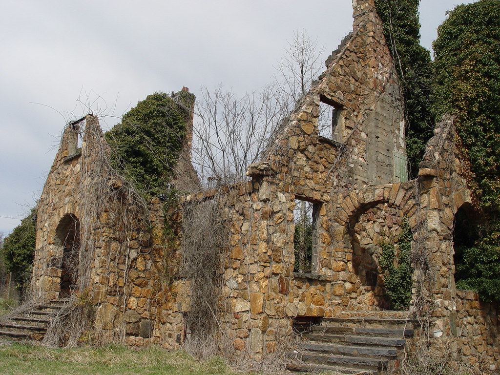
ROCK HOUSE

Skipper on Thistle
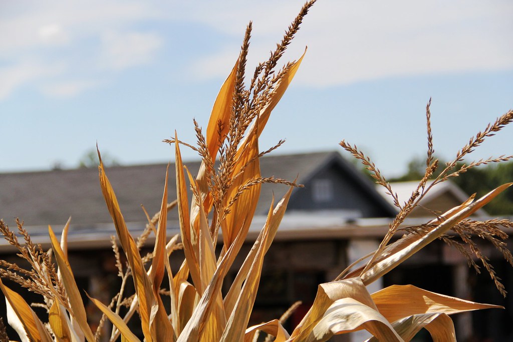
Lazy Days on the Farm
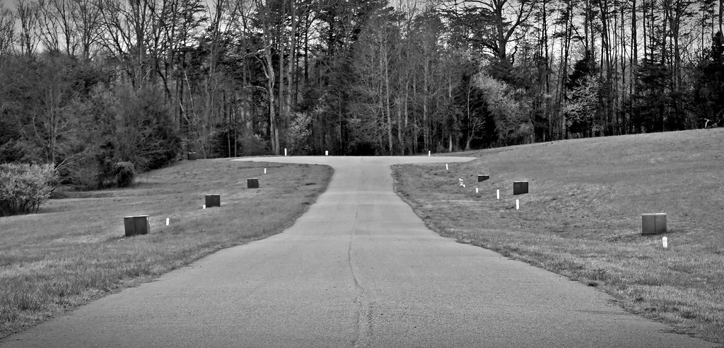
Cul-de-sac

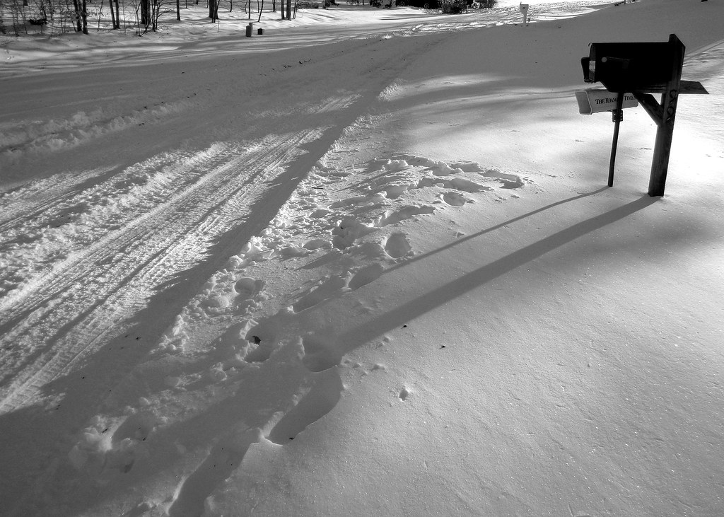
Winter 2016
Winter 2016

Winter 2016

Winter 2016

2015-11-27 (1) Rambo

2015-11-27 (2) Rambo

2015-11-27 (3) Rambo

2015-11-27 (5) Rambo

2015-11-27 (6) Rambo

2015-11-27 (7) Rambo

2015-11-27 (8) Rambo

2015-11-27 (11) Rambo

2015-11-27 (12) Pepper

2015-11-27 (13) Rambo

2015-11-27 (14) Rambo

2015-11-27 (15) Rambo

2015-11-27 (16) Rambo

2015-11-27 (17) Rambo

2015-11-27 (18) Rambo
Topographic Map of Martin Dr, Axton, VA, USA
Find elevation by address:

Places near Martin Dr, Axton, VA, USA:
Tunstall
Axton
Martinsville Hwy, Danville, VA, USA
Axton Rd, Axton, VA, USA
Iriswood
Mt Cross Rd, Dry Fork, VA, USA
1376 Huntington Trail
Stony Mill Road
Cascade
Stoney Mountain Rd, Martinsville, VA, USA
Kaye Trail Lane
217 Tunstall High Rd
839 Kaye Trail Ln
Bowe St, Danville, VA, USA
789 F C Beverly Rd
40 Countryside Ln
Mount Cross Road
Westover
3788 Chatham Rd
Mt Cross Rd, Danville, VA, USA
Recent Searches:
- Elevation of Groblershoop, South Africa
- Elevation of Power Generation Enterprises | Industrial Diesel Generators, Oak Ave, Canyon Country, CA, USA
- Elevation of Chesaw Rd, Oroville, WA, USA
- Elevation of N, Mt Pleasant, UT, USA
- Elevation of 6 Rue Jules Ferry, Beausoleil, France
- Elevation of Sattva Horizon, 4JC6+G9P, Vinayak Nagar, Kattigenahalli, Bengaluru, Karnataka, India
- Elevation of Great Brook Sports, Gold Star Hwy, Groton, CT, USA
- Elevation of 10 Mountain Laurels Dr, Nashua, NH, USA
- Elevation of 16 Gilboa Ln, Nashua, NH, USA
- Elevation of Laurel Rd, Townsend, TN, USA