Elevation of Marston Lane, Marston Ln, Santa Clara, CA, USA
Location: United States > California > Santa Clara County > Santa Clara >
Longitude: -121.94922
Latitude: 37.3975333
Elevation: 5m / 16feet
Barometric Pressure: 101KPa
Elevation Map:
Satellite Map:
Related Photos:
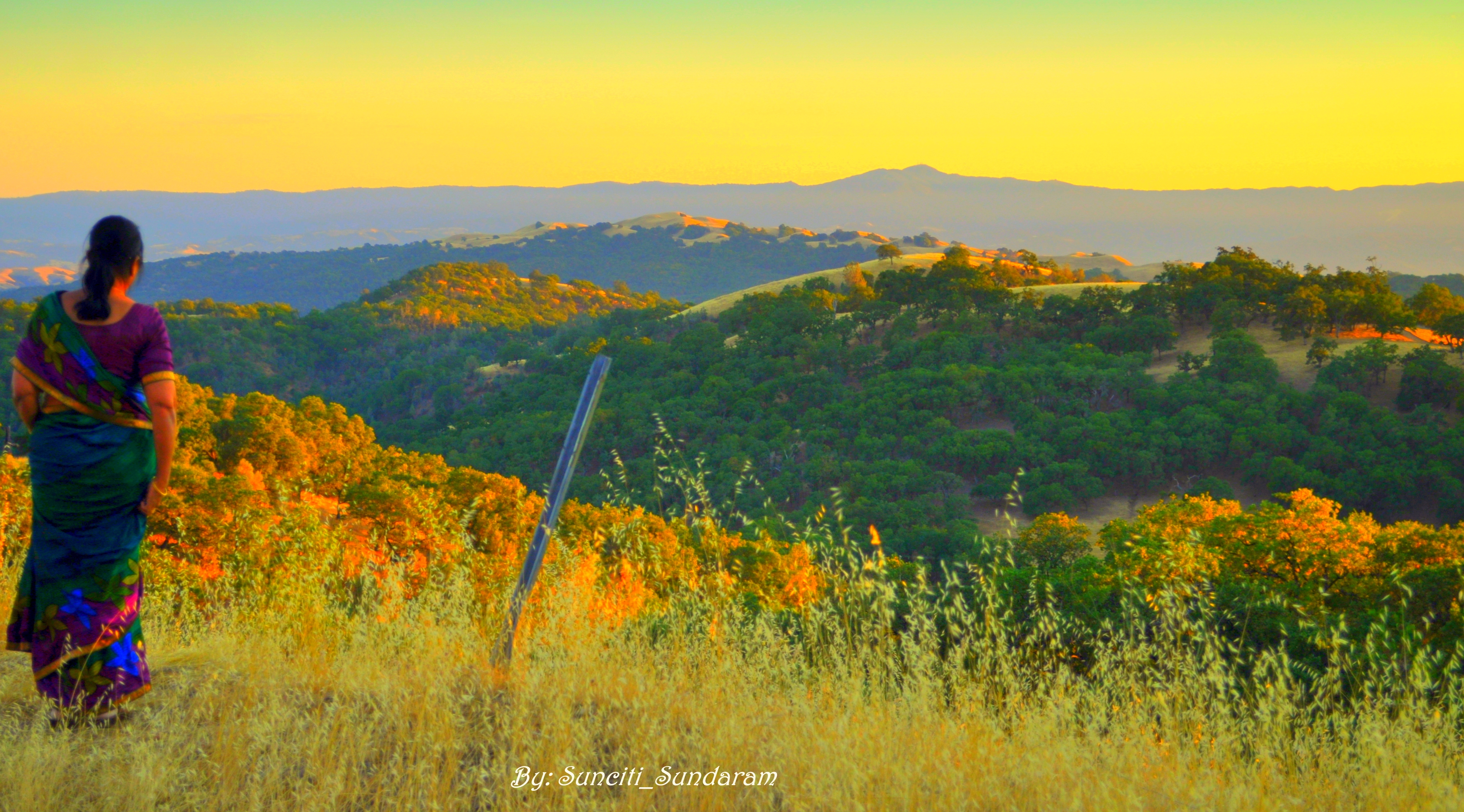
Panoramic View From A Perfect View Point...

IMG_1380 Let Me Feed You, Honey.

IMG_5922 Forster's Tern Hovering, Mountain View Shoreline Park, California

Mary Avenue Bridge

DSC01246.JPG
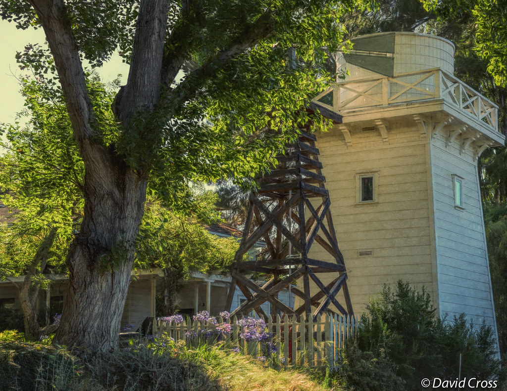
A Walk to Rengstorff House (circa 1867) (HFF)
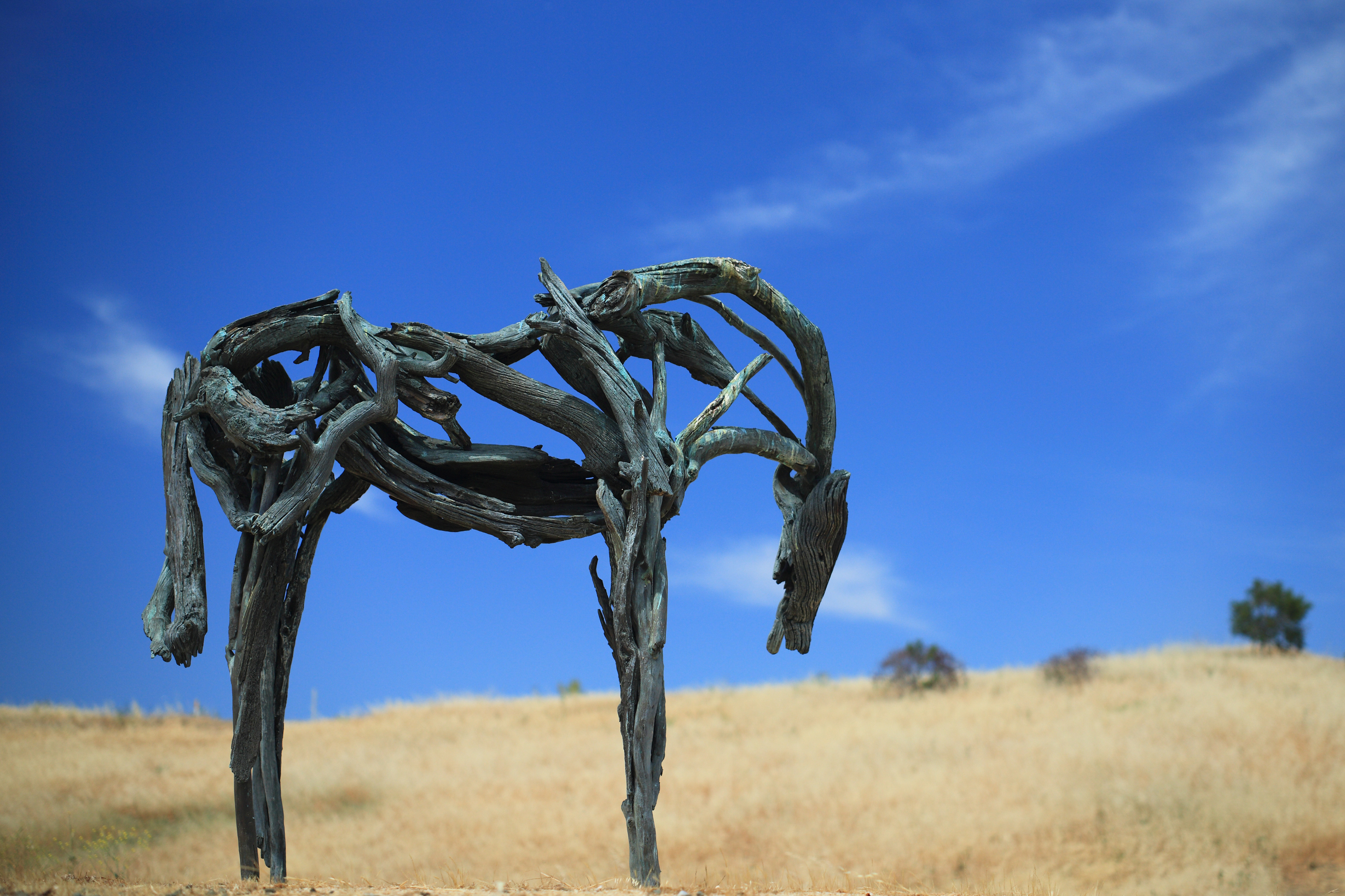
Bronze Horse by Deborah Butterfield

IMG_1868 Forster's Tern, Mountain View Shoreline Park, CA

IMG_2314 Forster's Tern

Geese (HSS)

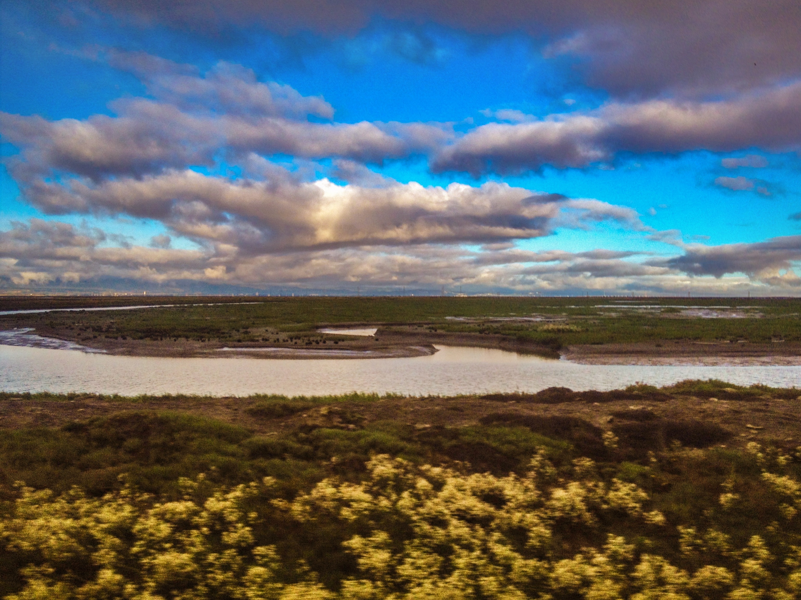
Alviso Blue Hour
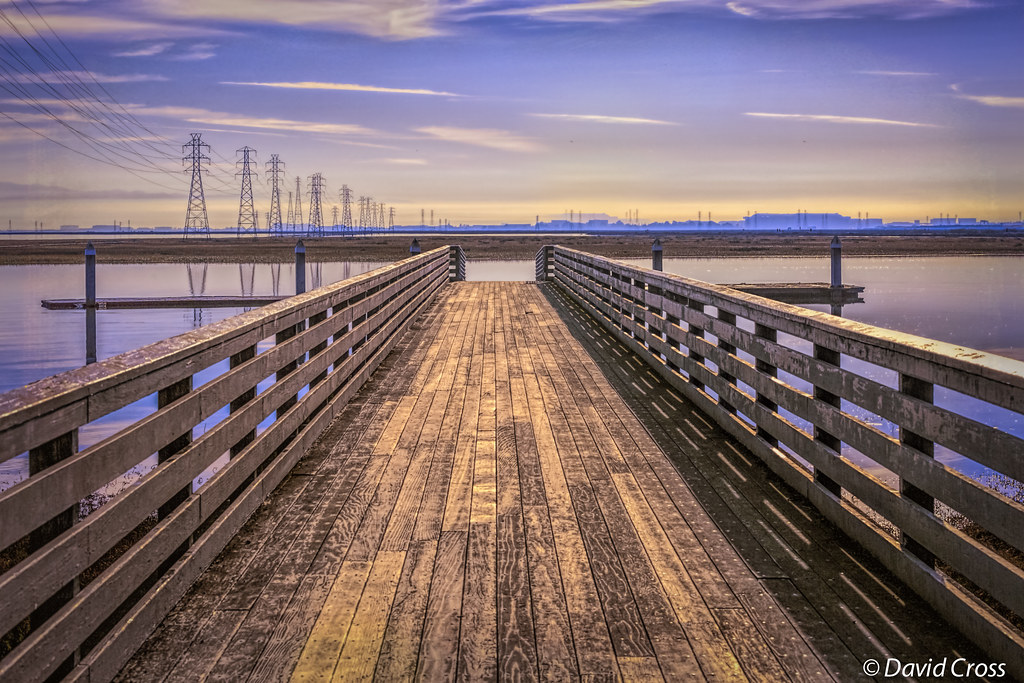
Long Walks on Short Piers
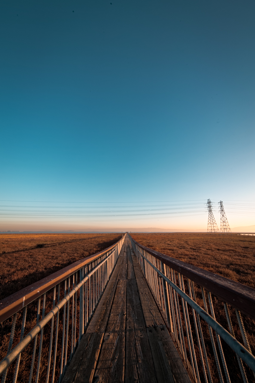
Vanishing Point
MTV Fire Station 5
Cracked Earth

IMG_0173 Here I Come! Mountain View Shoreline Park, CA
Hanger One

Golden View
DSC01222.JPG
Eagle's Domain

IMG_4504 Forster's Tern, Mountain View Shoreline Park, CA

Door of opportunities :)

Stop. Look. Enjoy.

Calaveras Road

Green Pastors
Good weather! #Fremont #sanfrancisco #Cloud #California #usa #trip #travel

My Favorite Tree
Clouds Over Mission Peak
Scattered Showers
Calaveras Hills

Shade and reflections
Spotted Hercules on my mud run at Alum Rock. #ToTheTop
#lake #blue

There is something about nature that makes me feel happy.

~~Garden of PEACE #2~~

Easy way down
Mind the Gaps
SF Bay

iPhoneography #84
Topographic Map of Marston Lane, Marston Ln, Santa Clara, CA, USA
Find elevation by address:

Places near Marston Lane, Marston Ln, Santa Clara, CA, USA:
4644 Mangrum Dr
4878 Avenida De Los Arboles
80 Rose Orchard Way
5123 Calle Del Sol
4110 N 1st St
2200 Calle De Luna
San Francisco 49ers
4182 Sophia Way
2322 Calle Del Mundo
Levi's Stadium
4900 Marie P Debartolo Way
4949 Centennial Blvd
Summerland Dr, San Jose, CA, USA
150 Baytech Dr
4701 Great America Pkwy
5201 Great America Pkwy
2600 Great America Way
Us-sjc-disk5079
5214 Betsy Ross Dr
5488 Marvell Ln
Recent Searches:
- Elevation of Groblershoop, South Africa
- Elevation of Power Generation Enterprises | Industrial Diesel Generators, Oak Ave, Canyon Country, CA, USA
- Elevation of Chesaw Rd, Oroville, WA, USA
- Elevation of N, Mt Pleasant, UT, USA
- Elevation of 6 Rue Jules Ferry, Beausoleil, France
- Elevation of Sattva Horizon, 4JC6+G9P, Vinayak Nagar, Kattigenahalli, Bengaluru, Karnataka, India
- Elevation of Great Brook Sports, Gold Star Hwy, Groton, CT, USA
- Elevation of 10 Mountain Laurels Dr, Nashua, NH, USA
- Elevation of 16 Gilboa Ln, Nashua, NH, USA
- Elevation of Laurel Rd, Townsend, TN, USA