Elevation of Baytech Dr, San Jose, CA, USA
Location: United States > California > Santa Clara County > San Jose > North San Jose >
Longitude: -121.95349
Latitude: 37.4210926
Elevation: 3m / 10feet
Barometric Pressure: 101KPa
Elevation Map:
Satellite Map:
Related Photos:
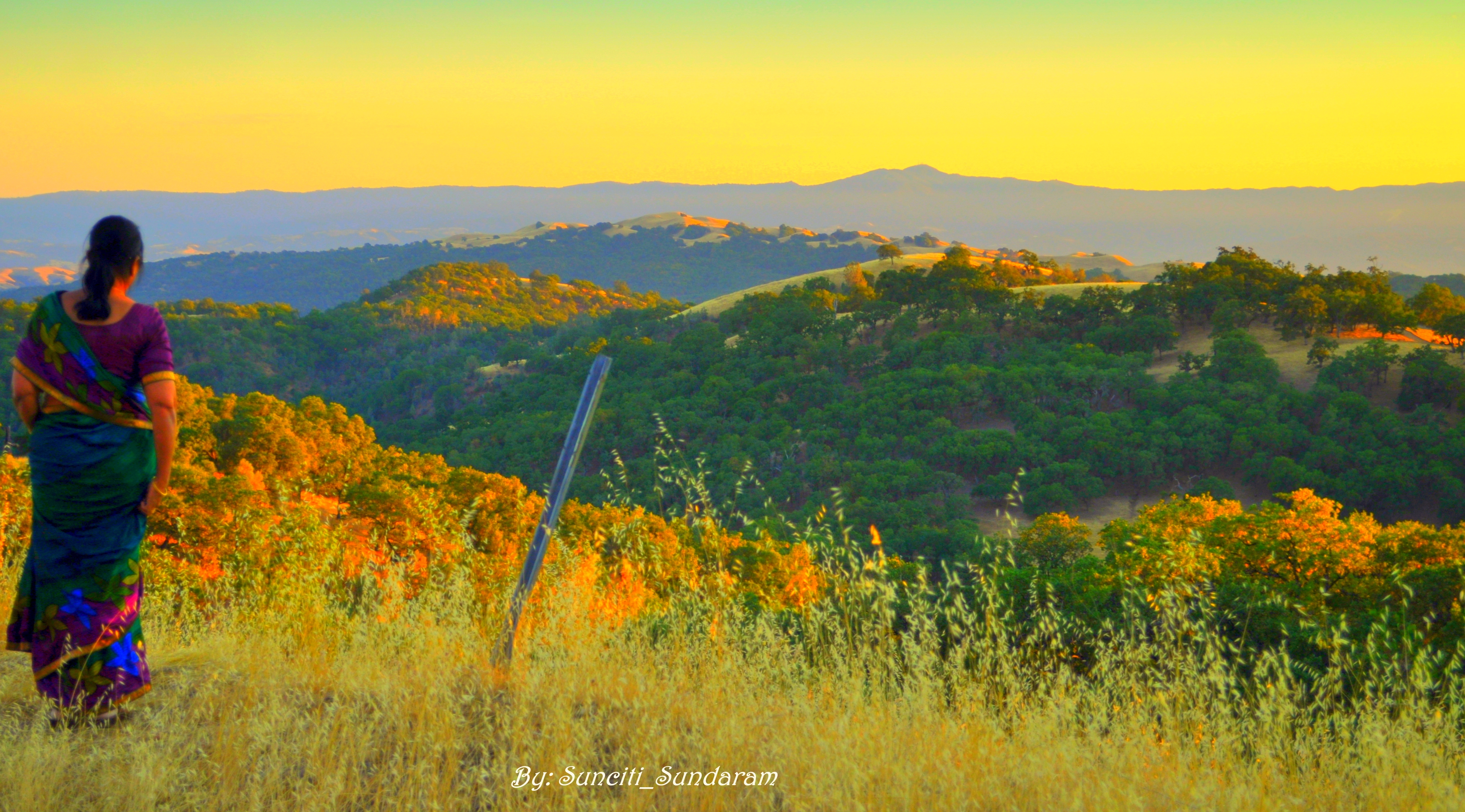
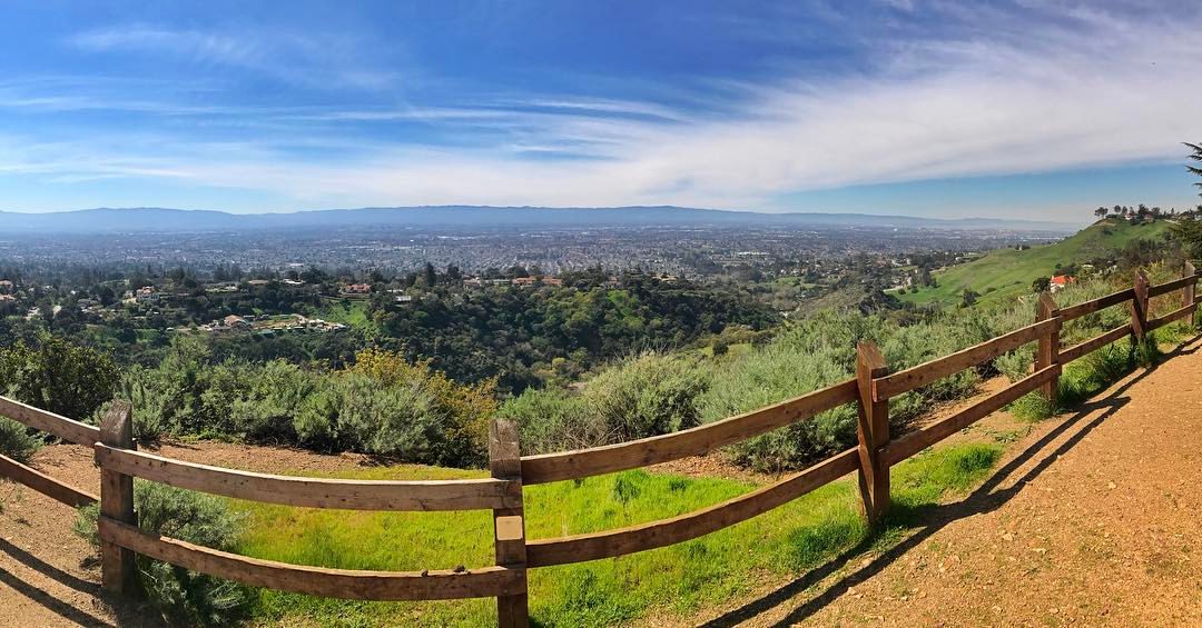
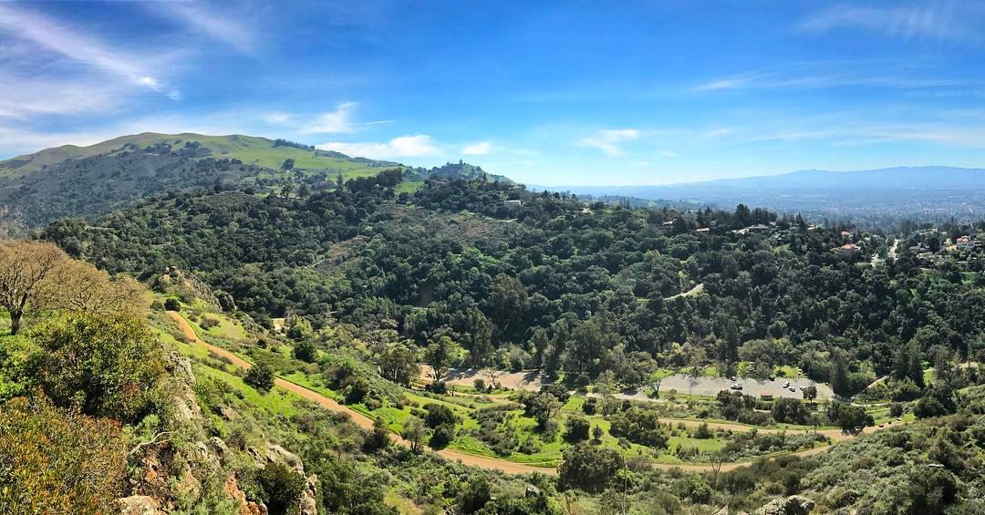
Panoramic View From A Perfect View Point...
Fire breathing dragon

IMG_1380 Let Me Feed You, Honey.
Late Again....
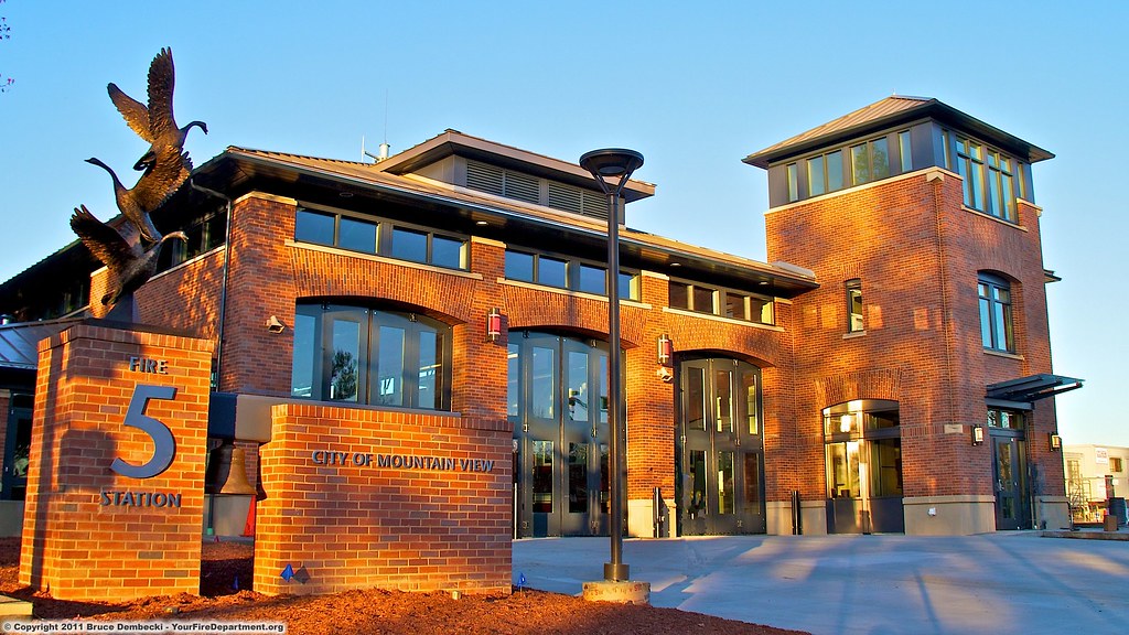
MTV Fire Station 5
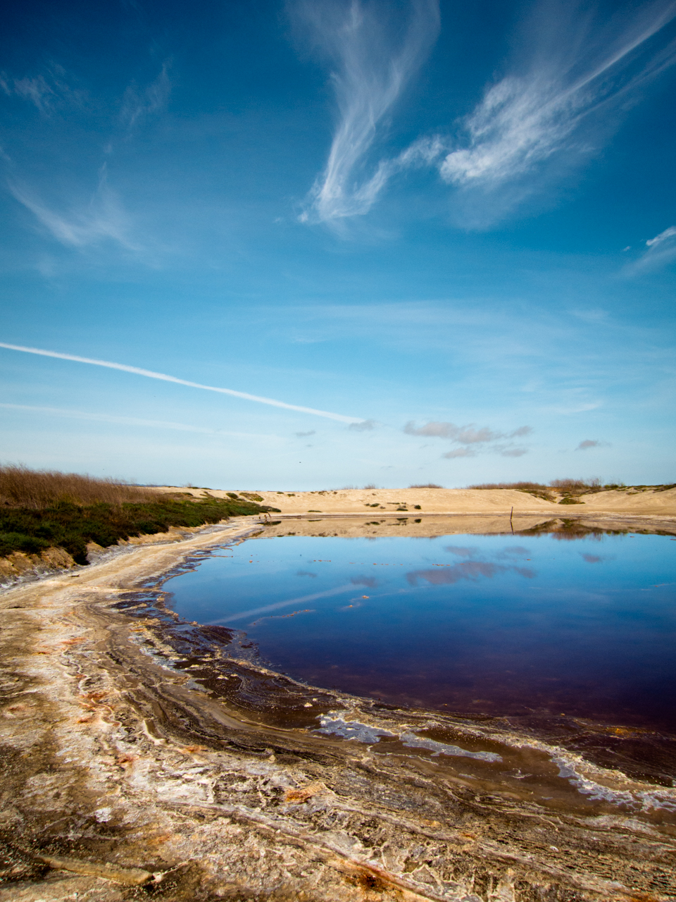
Cracked Earth
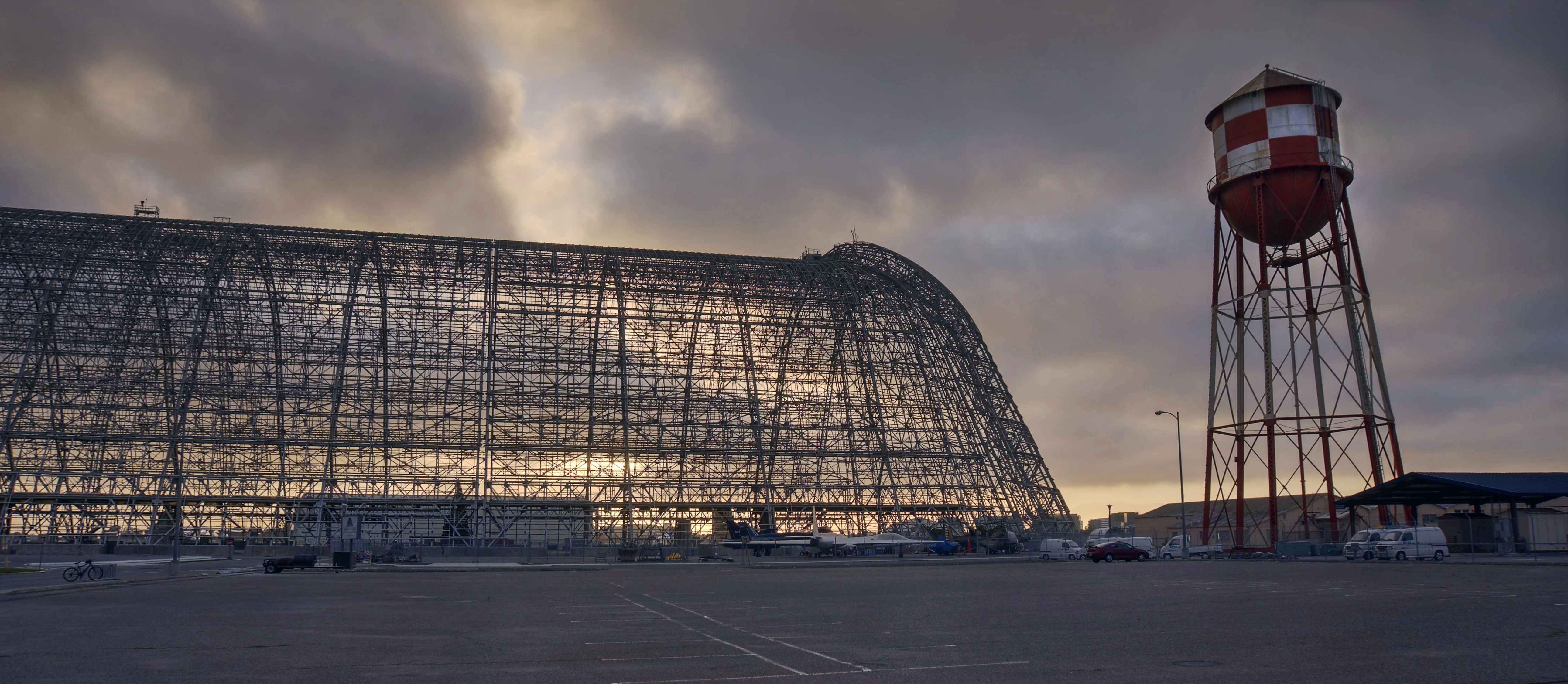
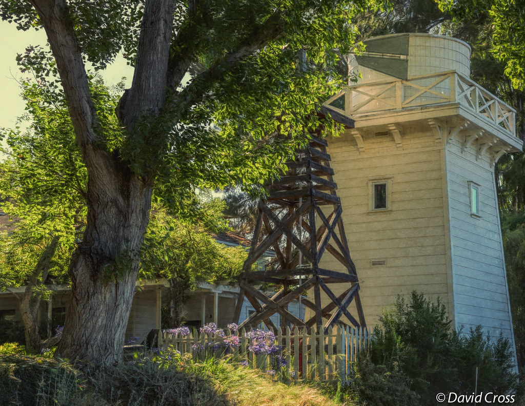
Hanger One
IMG_6389 Great Egret
Dawn Hikers - Mission Peak

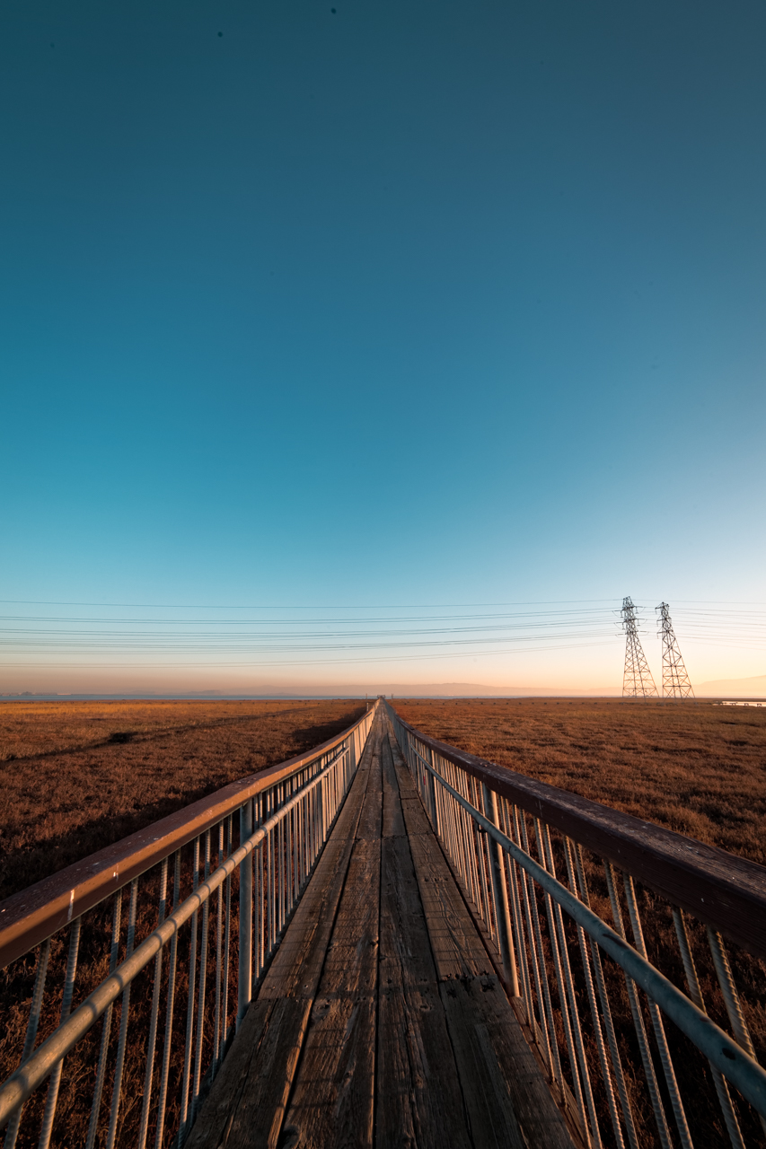
All Points Lead To...
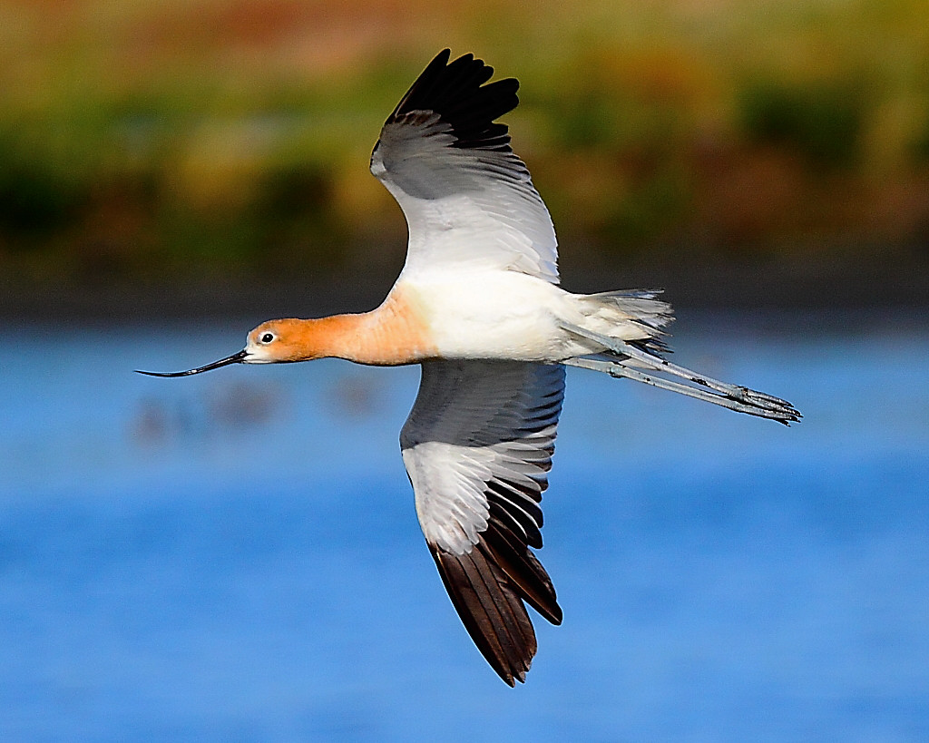
IMG_9960 American Avocet
Naked in the early morning
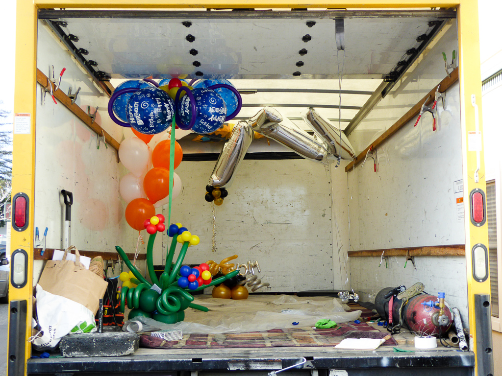
Balloons In A Truck

IMG_5922 Forster's Tern Hovering, Mountain View Shoreline Park, California

Mary Avenue Bridge

DSC01246.JPG
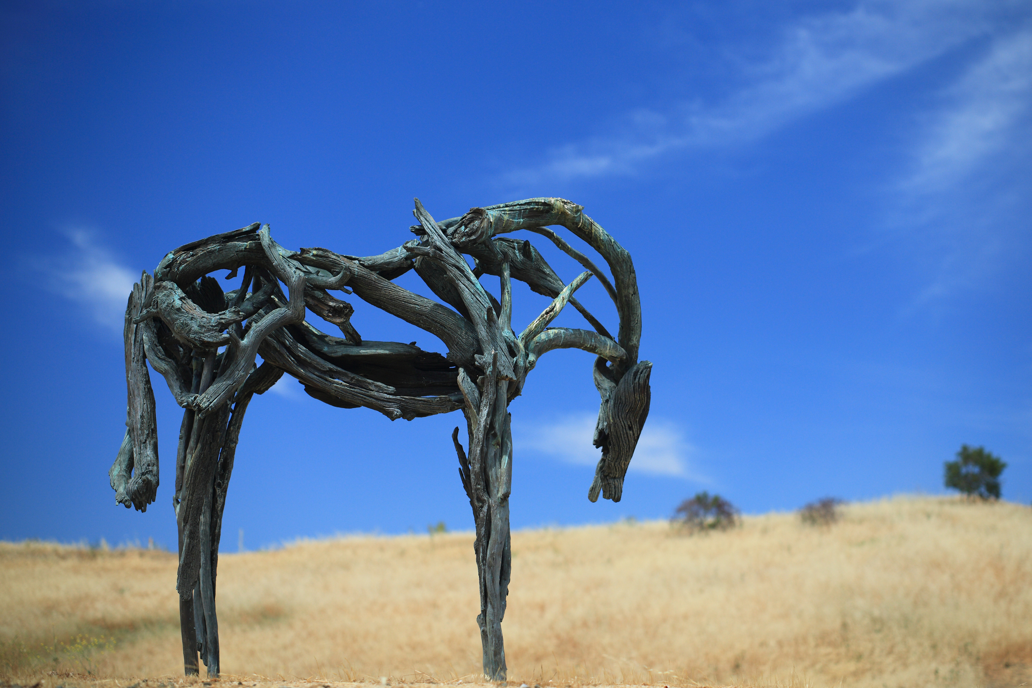
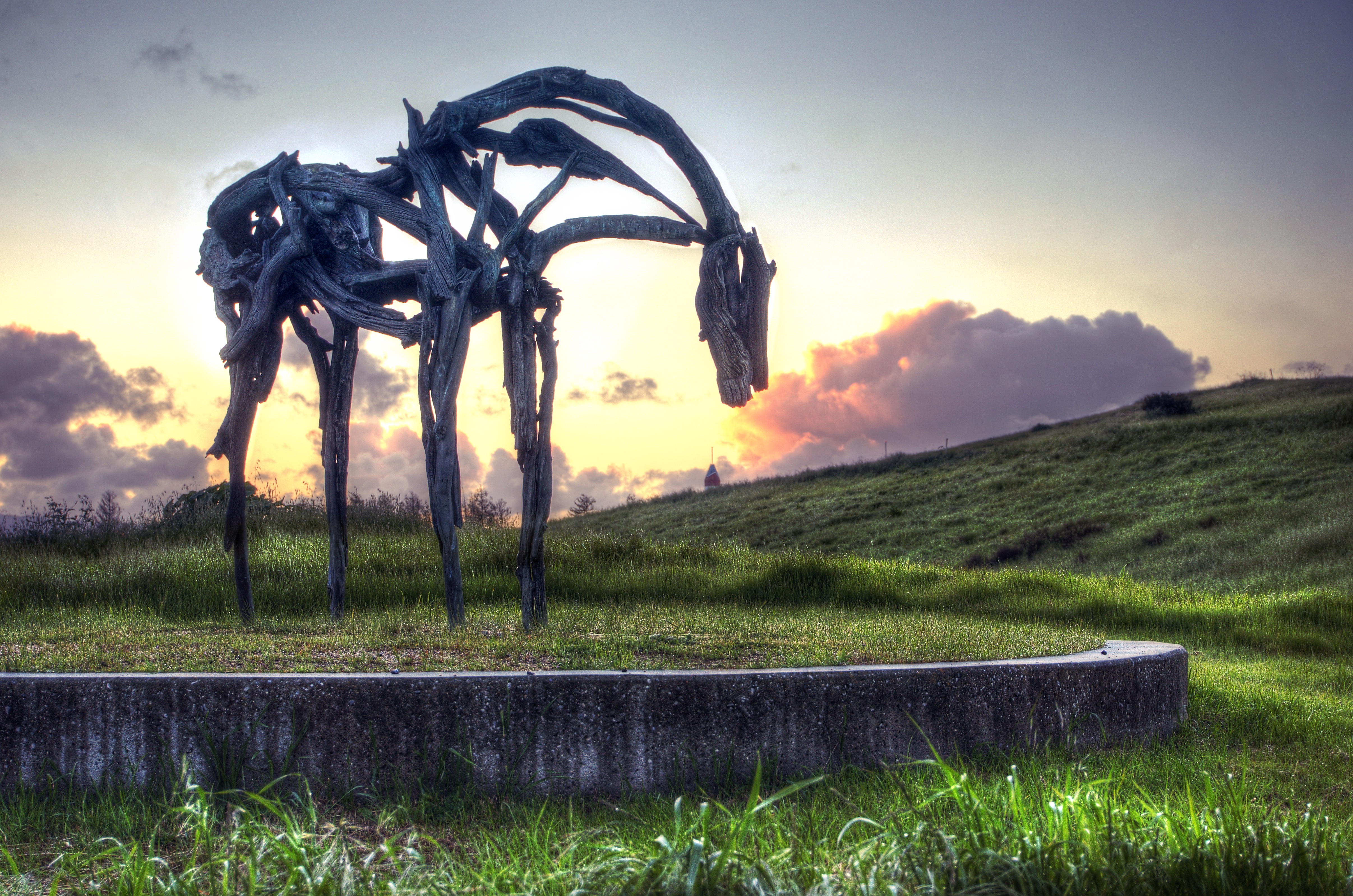
Bronze Horse by Deborah Butterfield

Bicycle Seat
A Walk to Rengstorff House (circa 1867) (HFF)
Pressed Magnolia

IMG_1868 Forster's Tern, Mountain View Shoreline Park, CA

Stop. Look. Enjoy.
Finally a nice weather in weekend
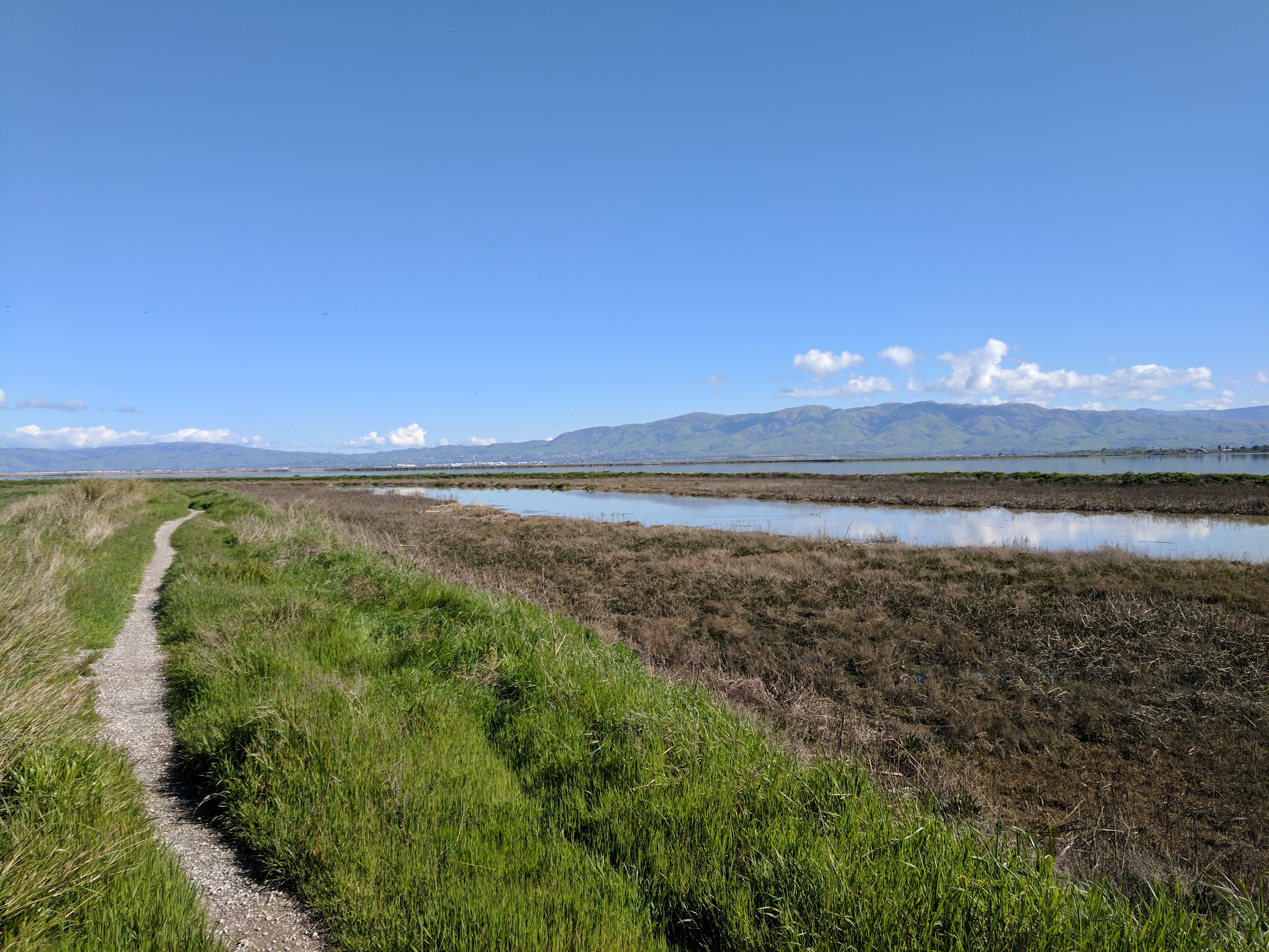
Palo Alto Baylands

Calaveras Road

Green Pastors
a tree or two
Clouds Over Mission Peak
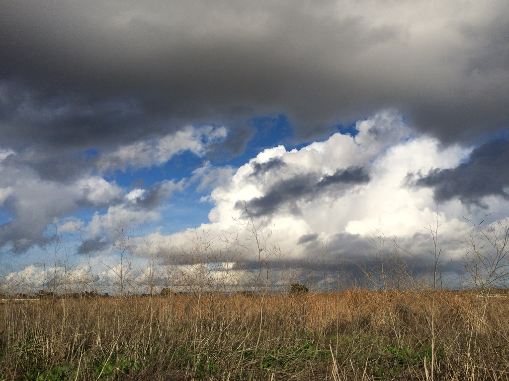
Scattered Showers
iPhone 5se test

Alviso Blue Hour

Easy way down

iPhoneography #84
Mind the Gaps

Geese (HSS)
Sun after rain
Disappearing Act
With the arrival of spring, the ground is thawing, flowers are blossoming, and nature is jumping back to life. The best time for hiking.
~~Alviso Twilight #2~~

Door of opportunities :)
Good weather! #Fremont #sanfrancisco #Cloud #California #usa #trip #travel
Topographic Map of Baytech Dr, San Jose, CA, USA
Find elevation by address:

Places near Baytech Dr, San Jose, CA, USA:
4110 N 1st St
4182 Sophia Way
80 Rose Orchard Way
Summerland Dr, San Jose, CA, USA
Us-sjc-disk5079
2200 Calle De Luna
5123 Calle Del Sol
1598 Michigan Ave
1430 Grand Blvd
2322 Calle Del Mundo
4878 Avenida De Los Arboles
1521 State St
1355 State St
1279 Wabash St
4644 Mangrum Dr
2600 Great America Way
4949 Centennial Blvd
Gold Street
San Francisco 49ers
Alviso
Recent Searches:
- Elevation of Beall Road, Beall Rd, Florida, USA
- Elevation of Leguwa, Nepal
- Elevation of County Rd, Enterprise, AL, USA
- Elevation of Kolchuginsky District, Vladimir Oblast, Russia
- Elevation of Shustino, Vladimir Oblast, Russia
- Elevation of Lampiasi St, Sarasota, FL, USA
- Elevation of Elwyn Dr, Roanoke Rapids, NC, USA
- Elevation of Congressional Dr, Stevensville, MD, USA
- Elevation of Bellview Rd, McLean, VA, USA
- Elevation of Stage Island Rd, Chatham, MA, USA