Elevation of Summerland Dr, San Jose, CA, USA
Location: United States > California > Santa Clara County > San Jose > North San Jose >
Longitude: -121.96191
Latitude: 37.4167715
Elevation: 1m / 3feet
Barometric Pressure: 101KPa
Elevation Map:
Satellite Map:
Related Photos:

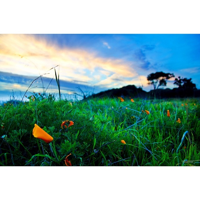
Stop. Look. Enjoy.
Is this the world we created...?
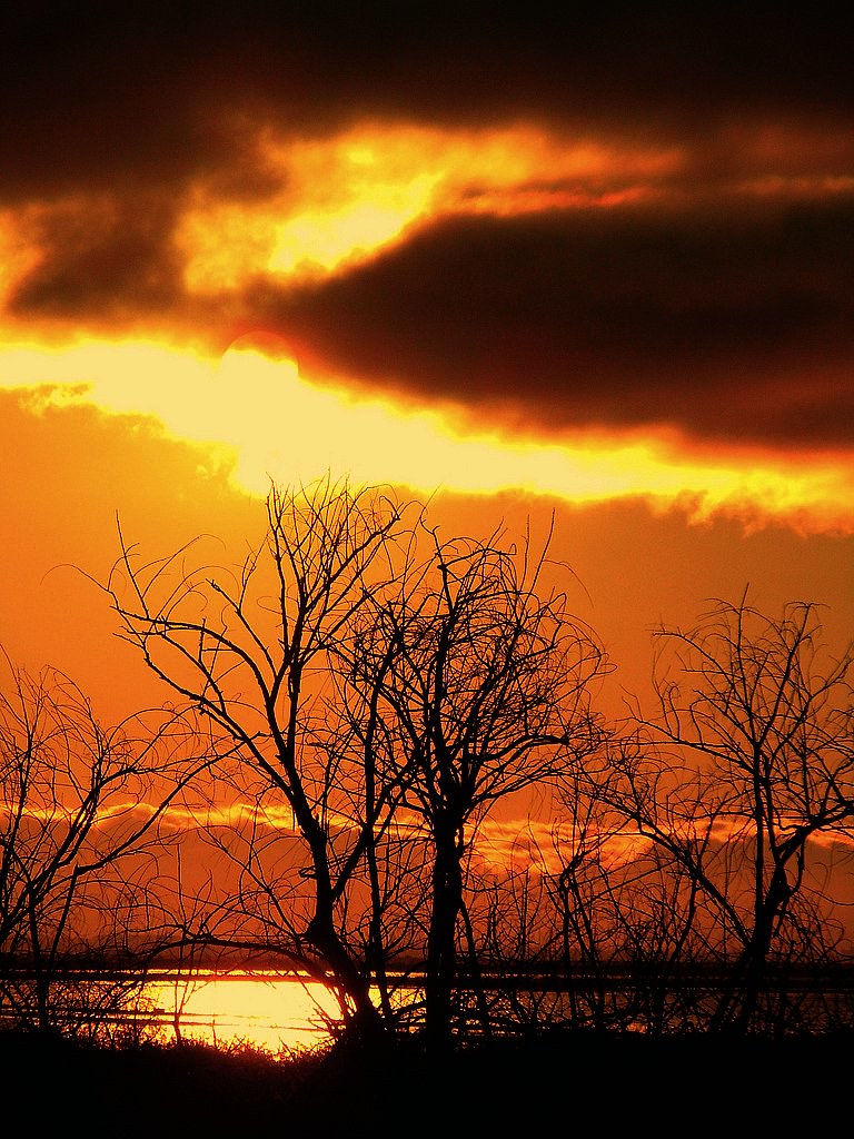
The great gig in the sky

Into the Sunset (Highway 101)
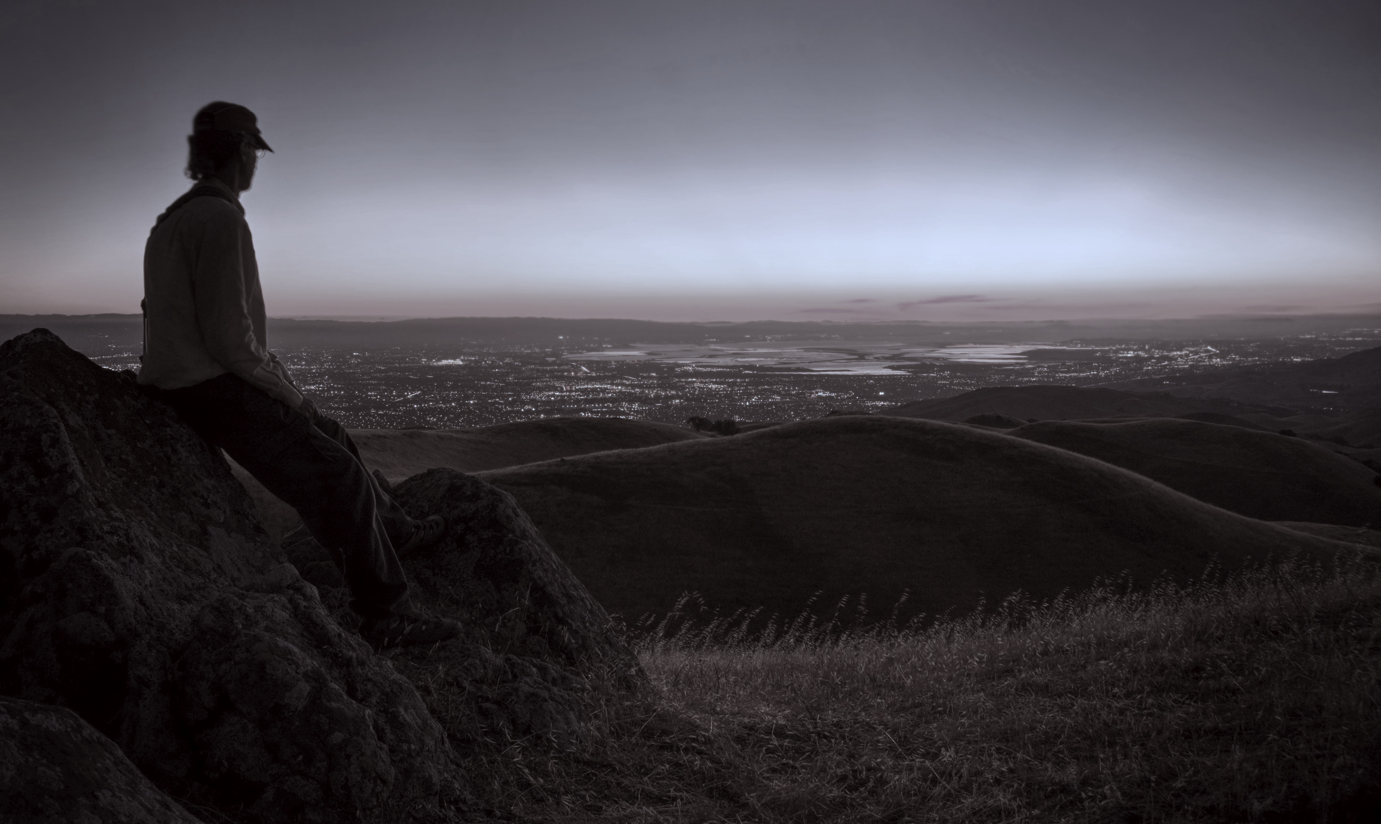
The best seat in the house

Bridging the gap
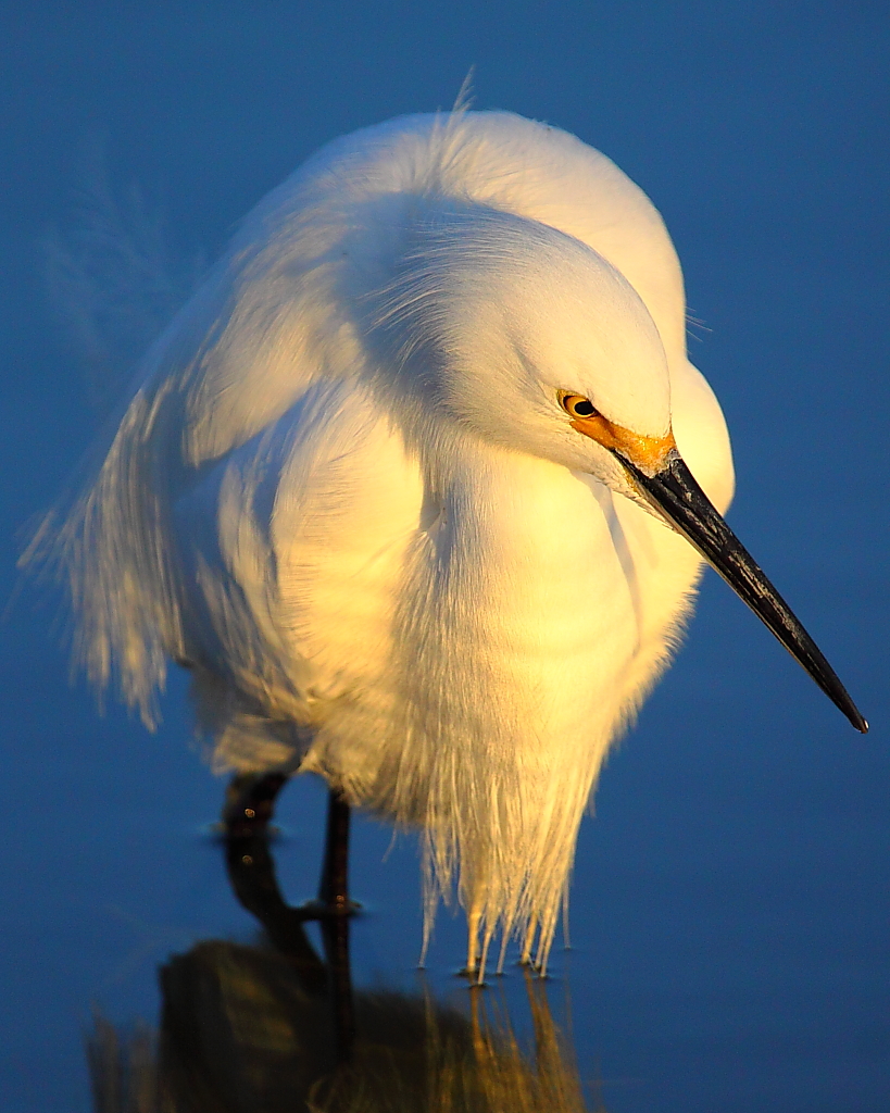
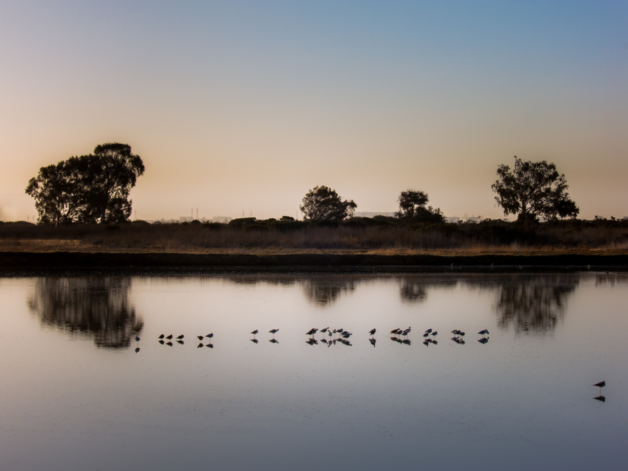
IMG_8180 Snowy Egret
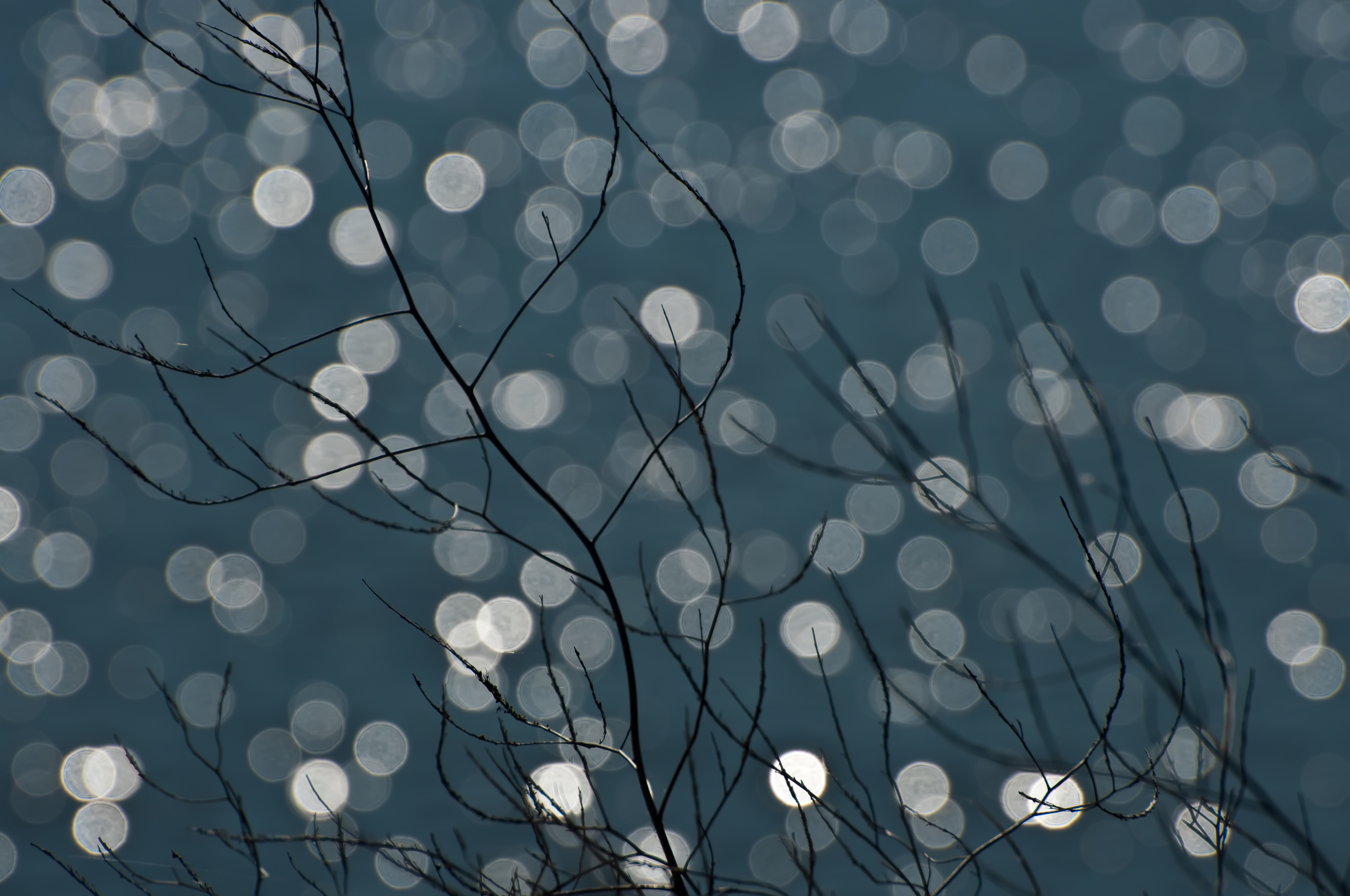
Magical Sparkles
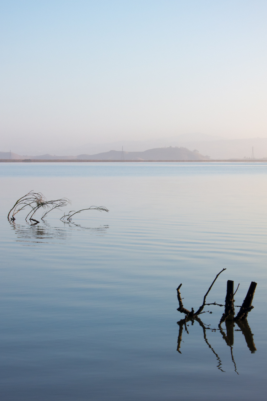
Vanishing Point

mY first HDR
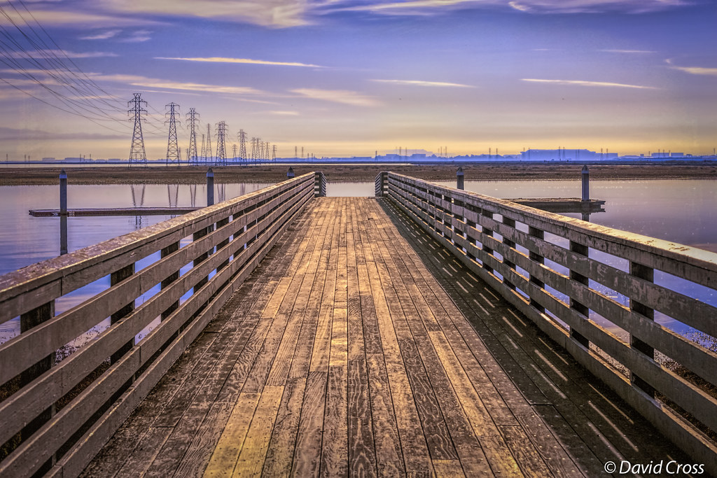
Long Walks on Short Piers

Alviso Blue Hour
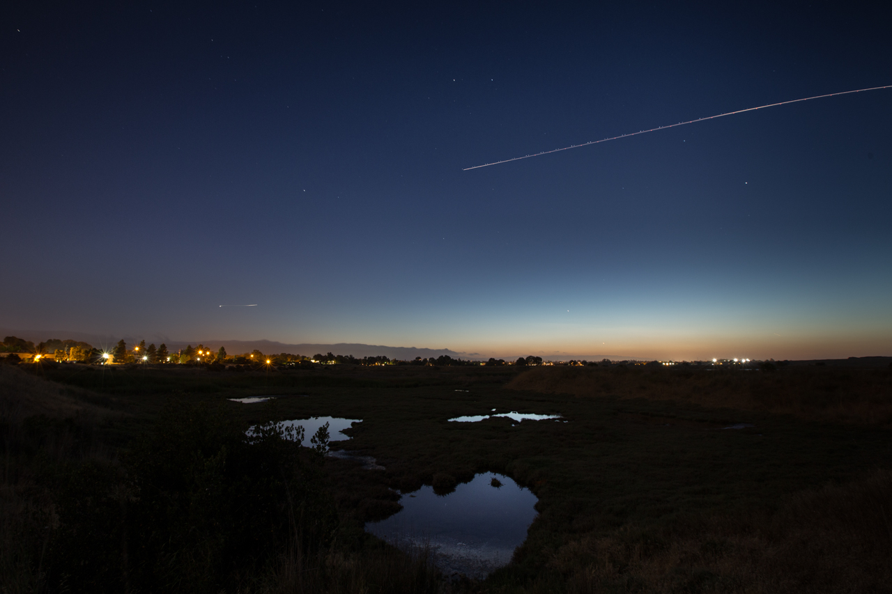
Forget the year
Way Point
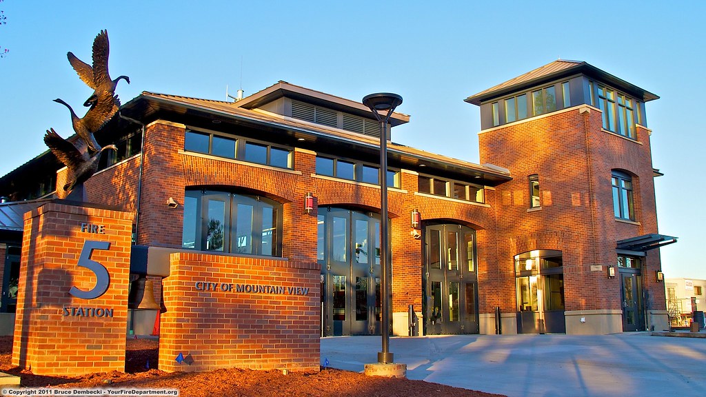
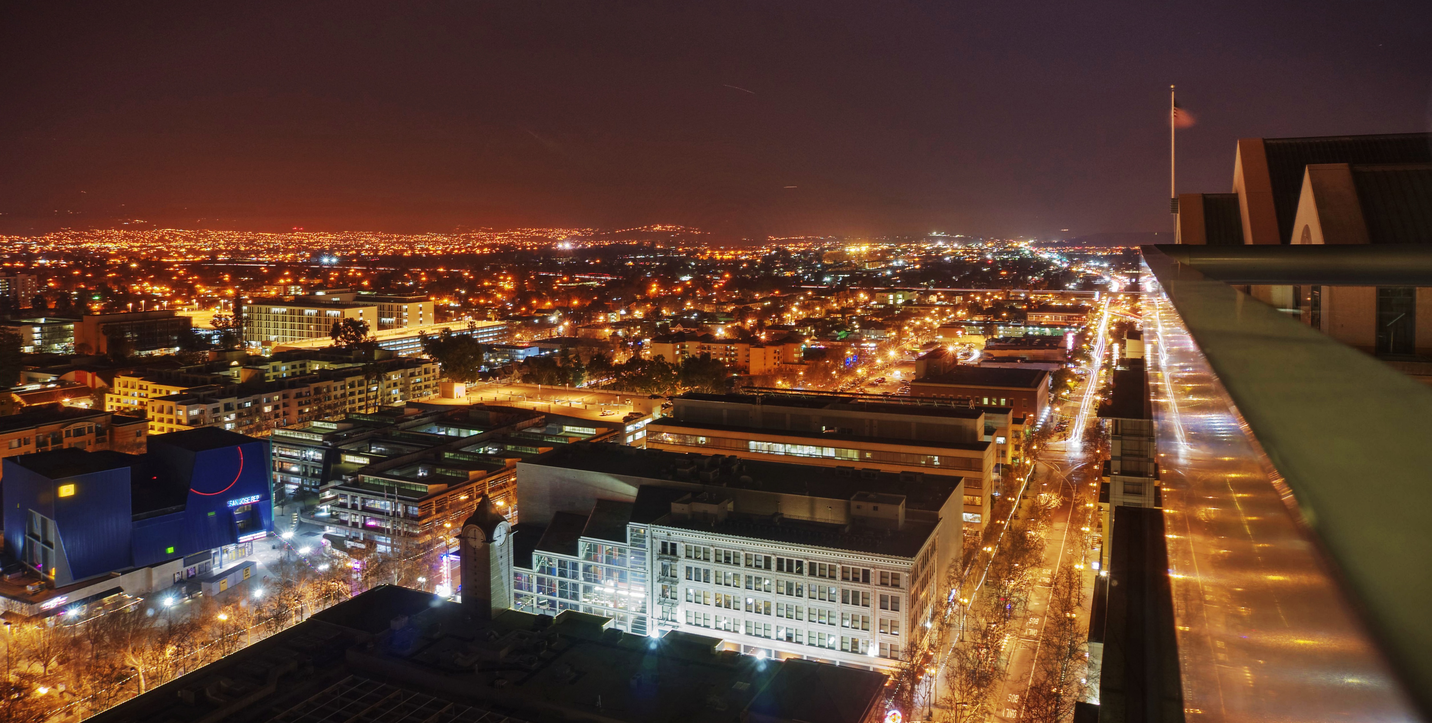
MTV Fire Station 5
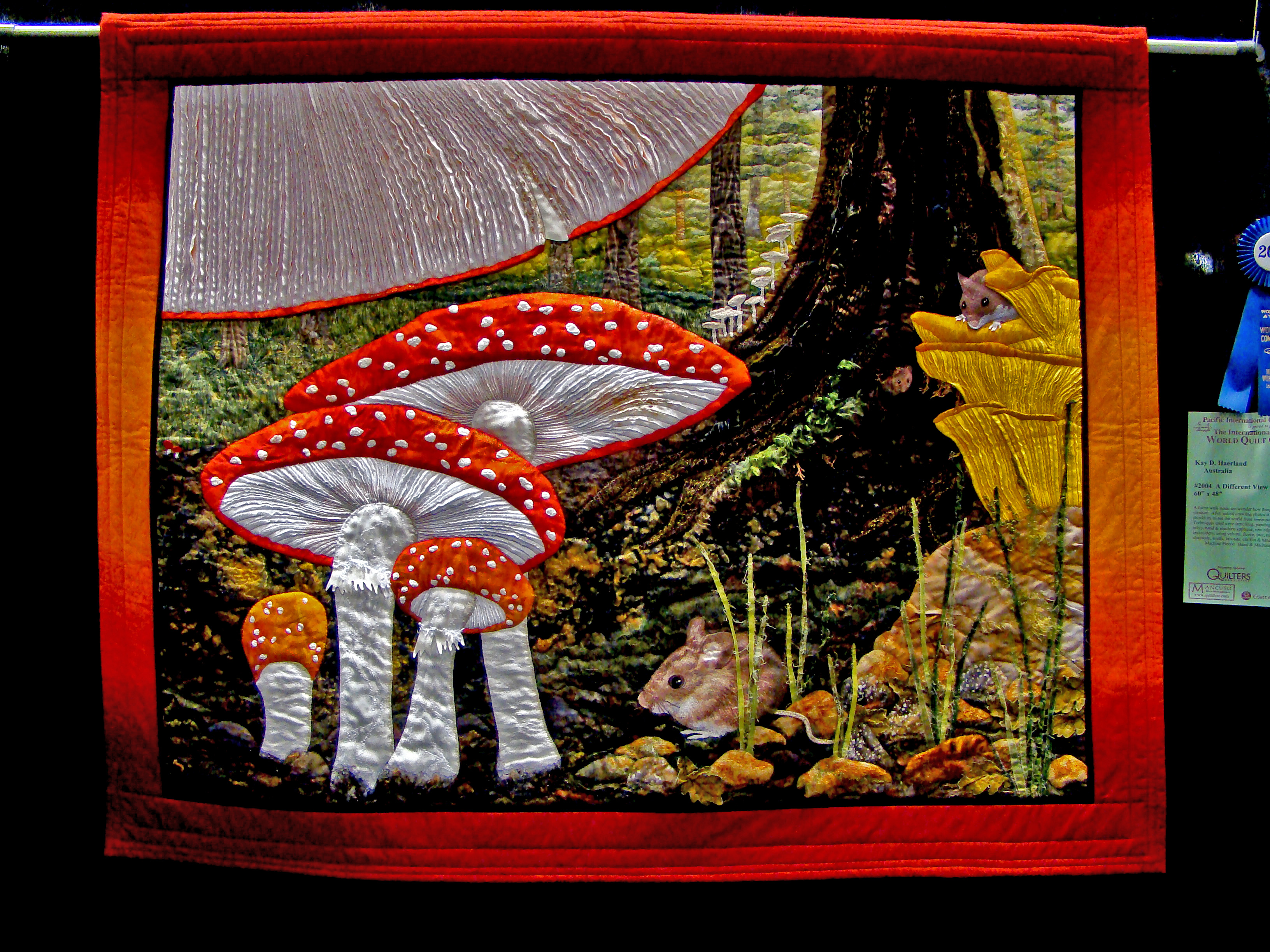
DSC02820 Mushroom quilt
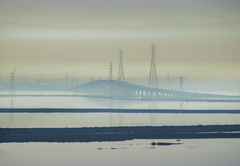
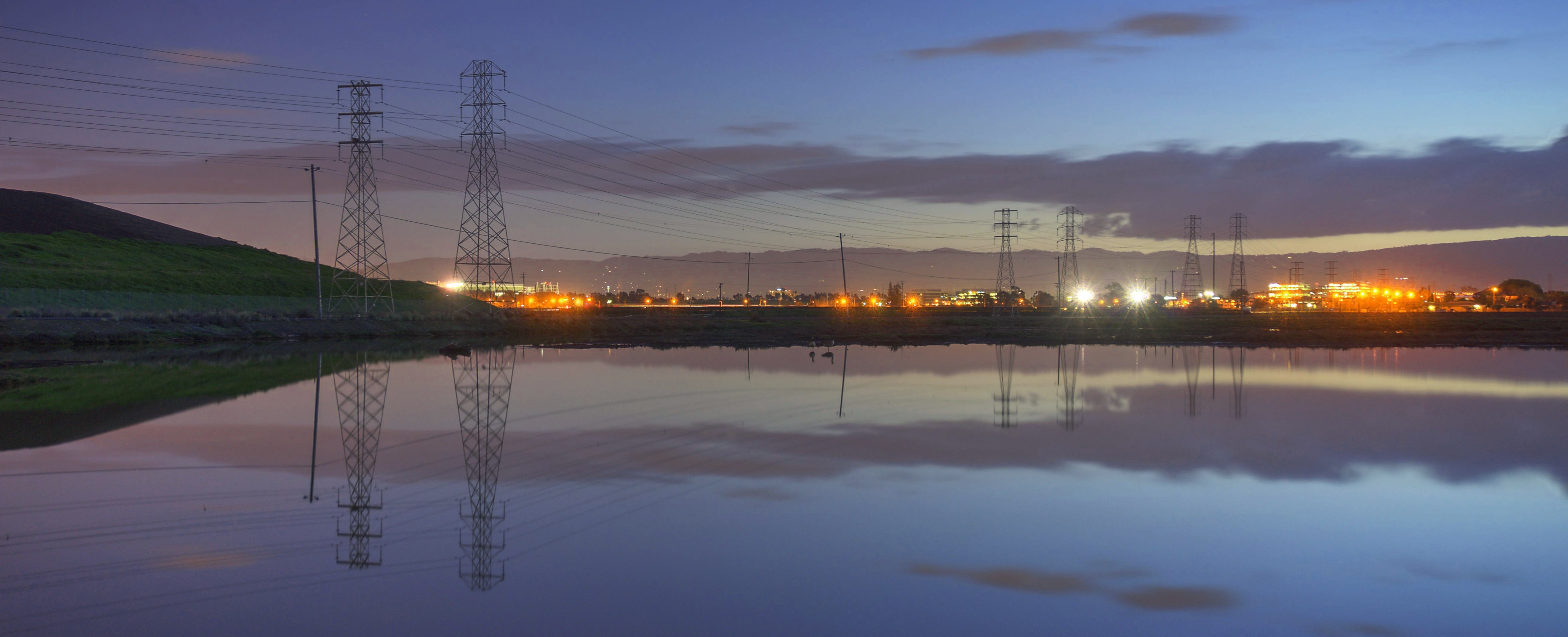
power divides us
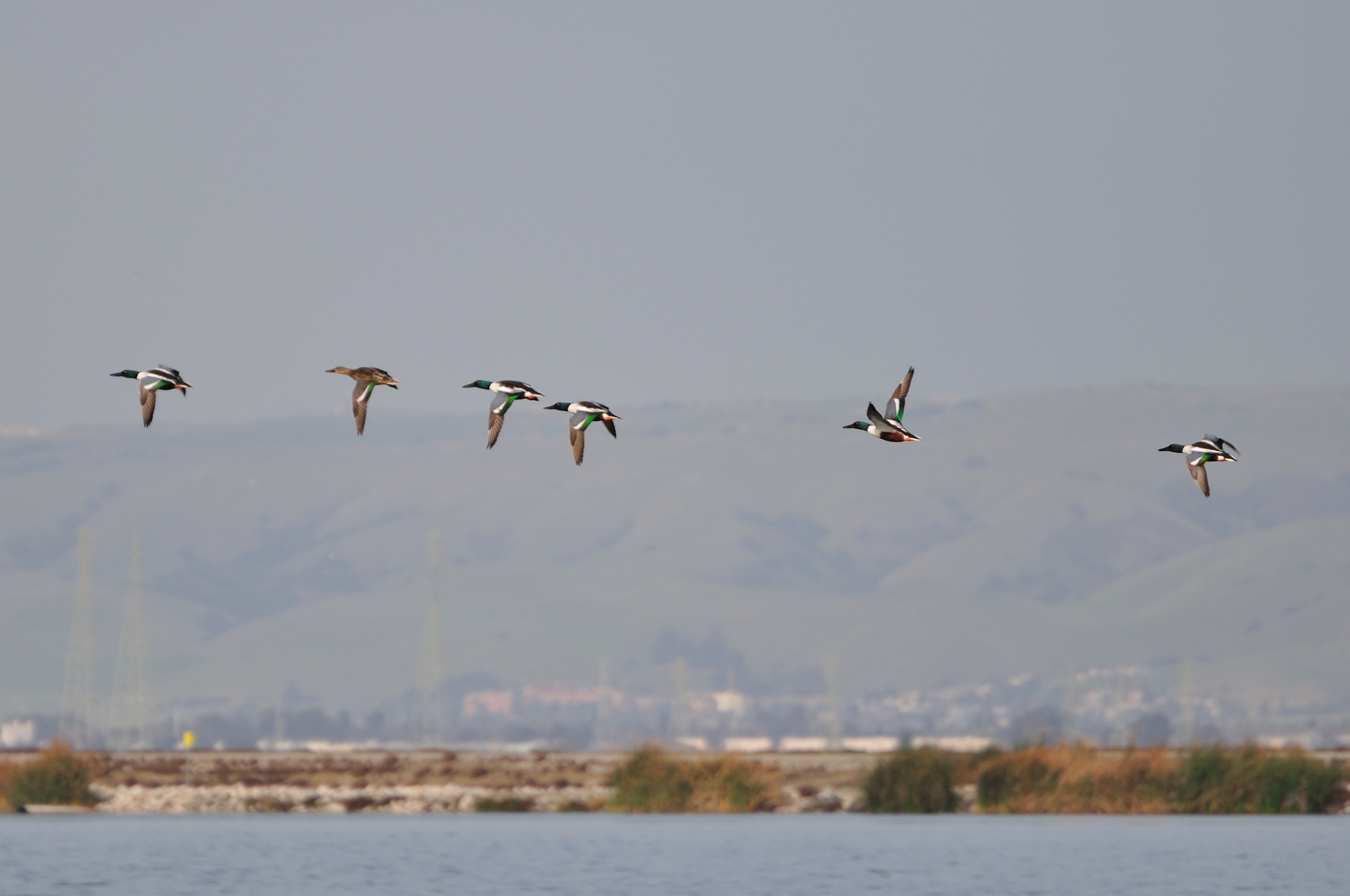
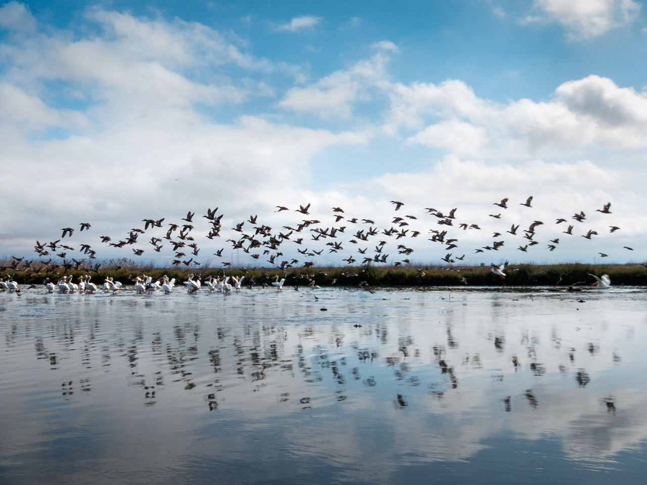
Ducks in flight

IMG_1380 Let Me Feed You, Honey.

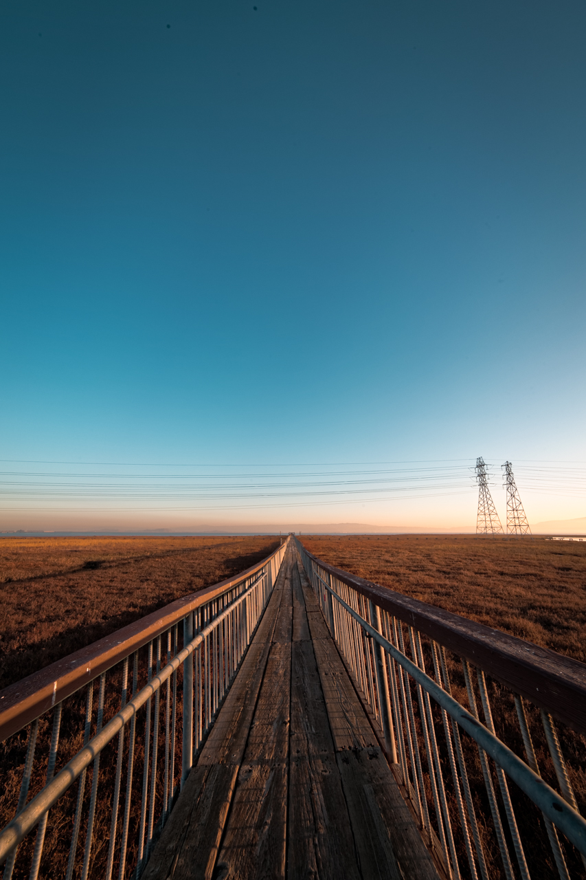
Mary Avenue Bridge

IMG_5922 Forster's Tern Hovering, Mountain View Shoreline Park, California
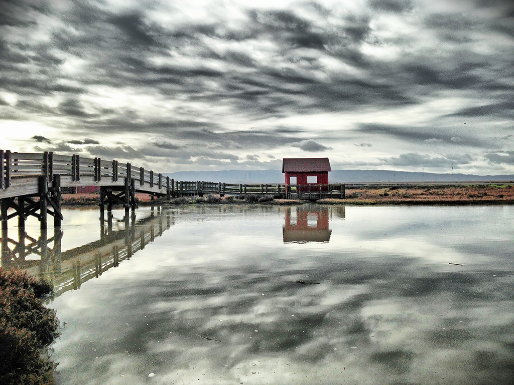
Don Edwards Preserve, Newark California
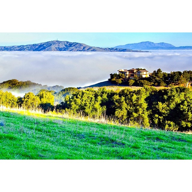
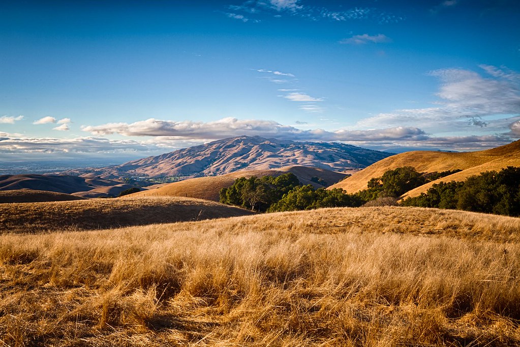
The mountains in their frontyard and the clouds as their backyard. I want one too! #missionpeak #house #seaofclouds #dream #california #fremont #hike #rei1440project #neverstopexploring #nofilter #outdoors #goldenhour
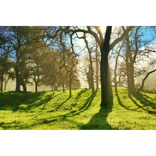
I'm beginning to wonder why I kept passing up this EB park. What a gem! #EBRPD #SunolRegionalWilderness #Sunol
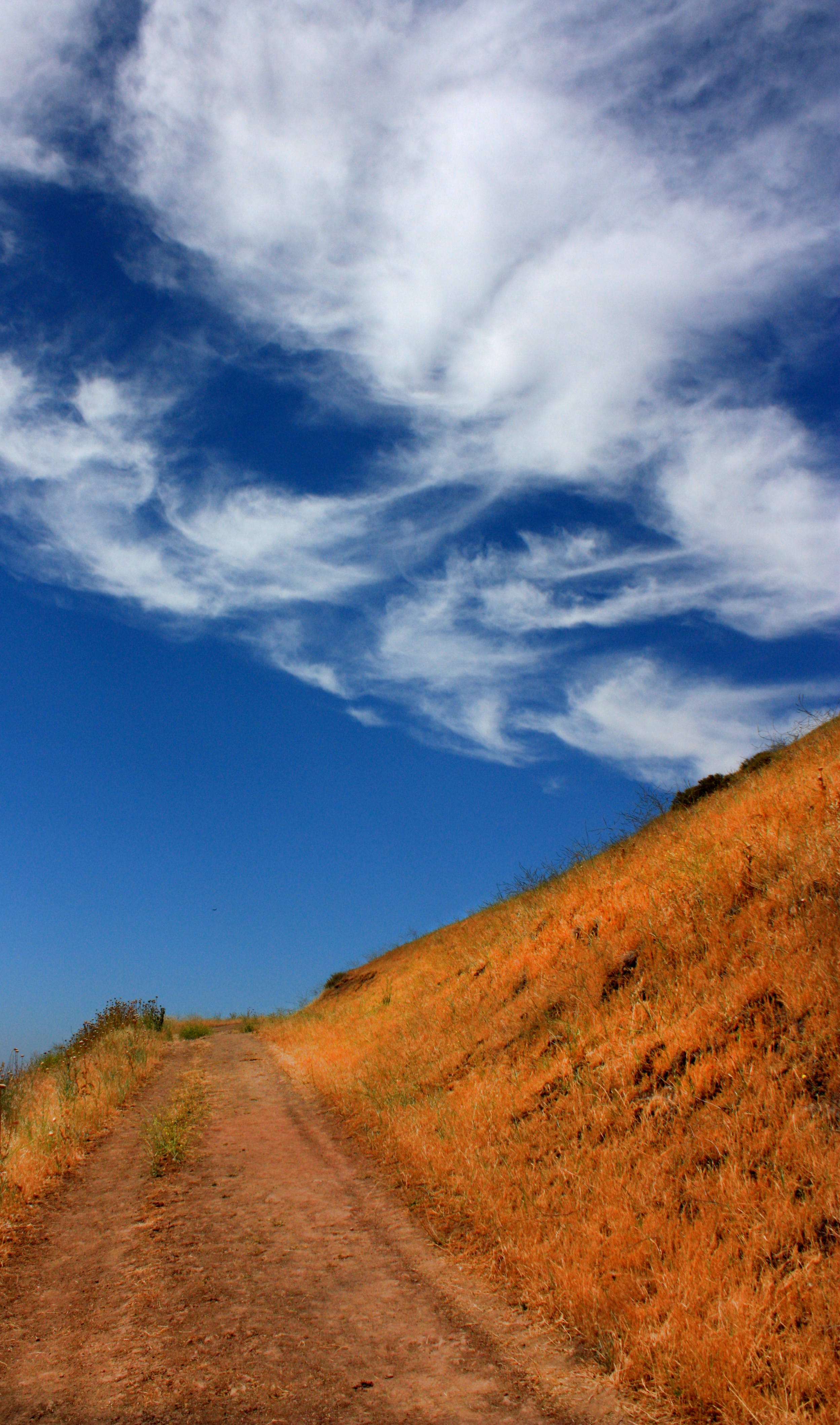
Clouds Over Mission Peak

Easy way down
On the shores of the Island of Knowledge
Our winter have been generally dry and warm. #notgood #california #drought #goldenhour #missionpeak #fremont #rei1440project #neverstopexploring #hiking #sun
Mind the Gaps
Spring. #california #eastbay #instanature #grass #weed #donedwards #rei1440project #neverstopexploring #hike #nofilter #goldenhour #sunset #skysnappers
Benign Indifference as the World Moves On
In which the ducks decide to move on while the pelicans stay put
~~Alviso Twilight #2~~
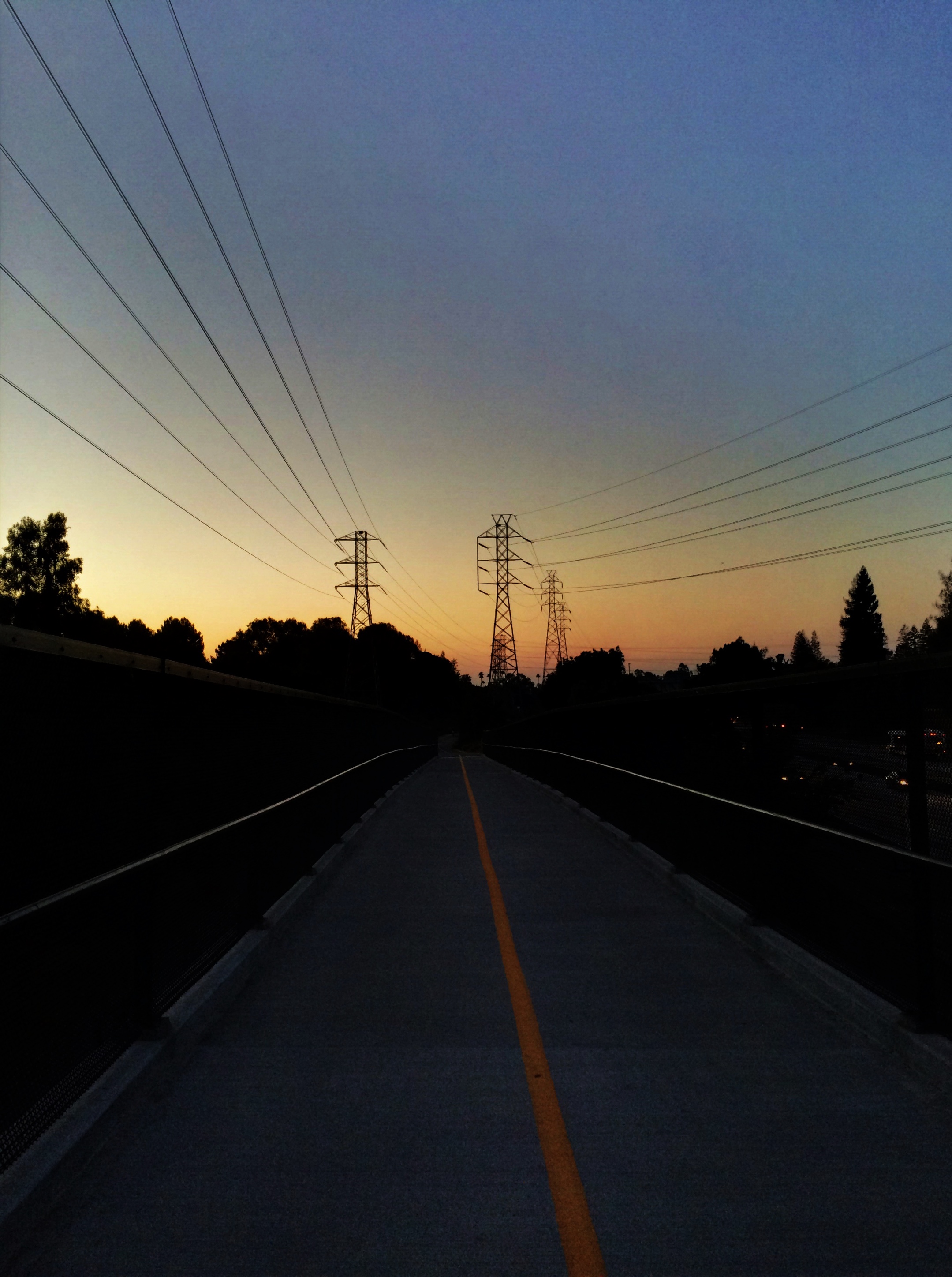
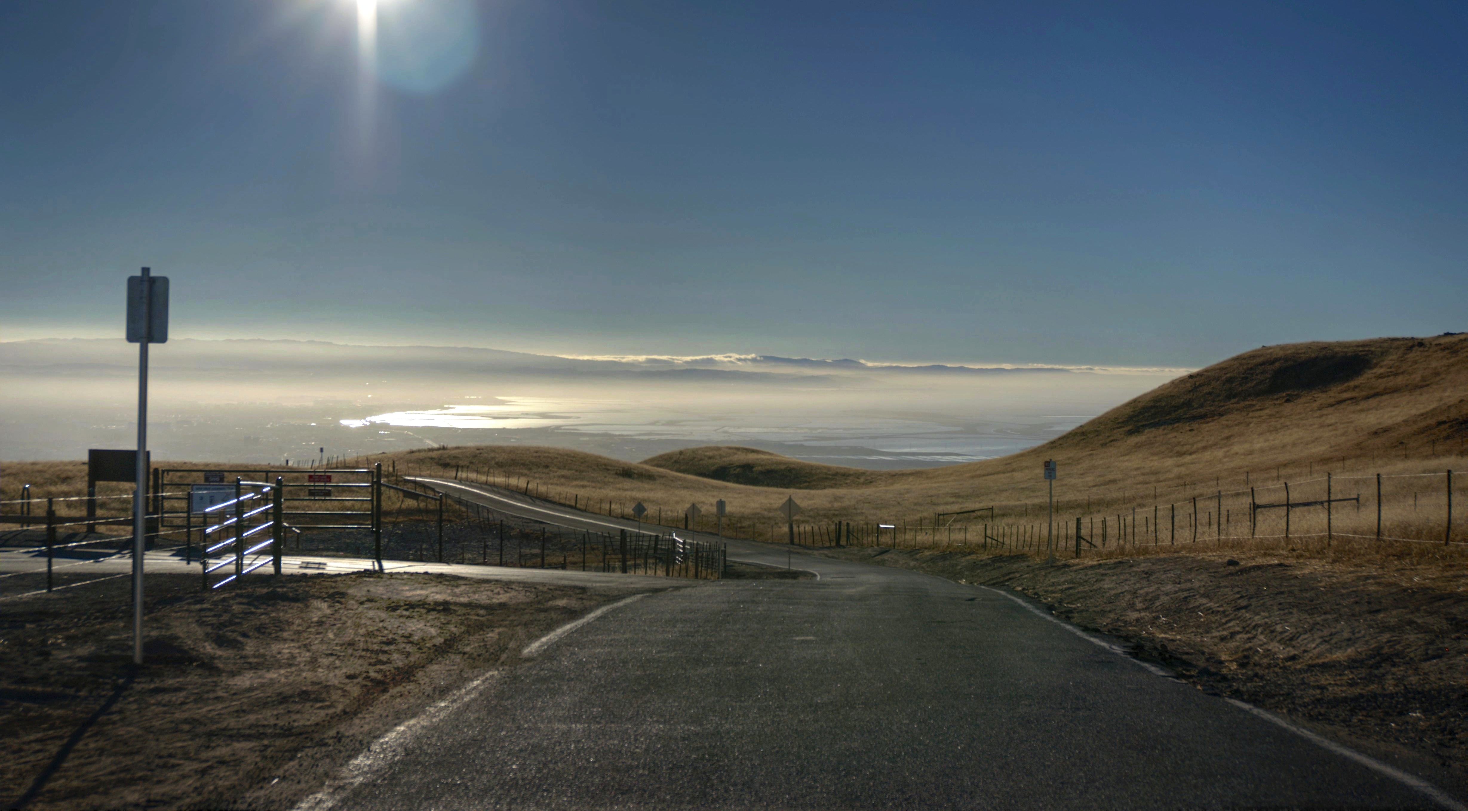
The Road
Back to the future

Back on top. I should do this every other day! Or everytime there's a MIA-OKC game. #missionpeak #fremont #hike

Door of opportunities :)

Green Pastors

Calaveras Road
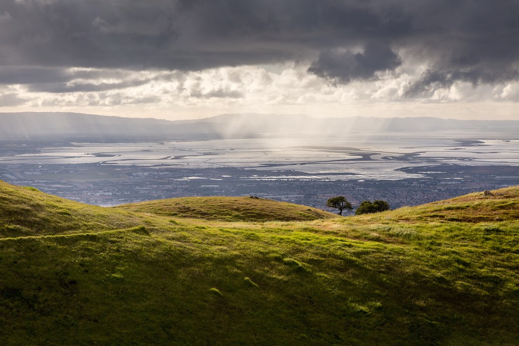
Scattered Showers
Topographic Map of Summerland Dr, San Jose, CA, USA
Find elevation by address:

Places near Summerland Dr, San Jose, CA, USA:
4182 Sophia Way
2200 Calle De Luna
4110 N 1st St
5123 Calle Del Sol
2322 Calle Del Mundo
Us-sjc-disk5079
150 Baytech Dr
4878 Avenida De Los Arboles
2600 Great America Way
1430 Grand Blvd
80 Rose Orchard Way
4949 Centennial Blvd
1279 Wabash St
San Francisco 49ers
1598 Michigan Ave
1355 State St
Gold Street
4900 Marie P Debartolo Way
Levi's Stadium
1521 State St
Recent Searches:
- Elevation of Leguwa, Nepal
- Elevation of County Rd, Enterprise, AL, USA
- Elevation of Kolchuginsky District, Vladimir Oblast, Russia
- Elevation of Shustino, Vladimir Oblast, Russia
- Elevation of Lampiasi St, Sarasota, FL, USA
- Elevation of Elwyn Dr, Roanoke Rapids, NC, USA
- Elevation of Congressional Dr, Stevensville, MD, USA
- Elevation of Bellview Rd, McLean, VA, USA
- Elevation of Stage Island Rd, Chatham, MA, USA
- Elevation of Shibuya Scramble Crossing, 21 Udagawacho, Shibuya City, Tokyo -, Japan