Elevation of Marianna, PA, USA
Location: United States > Pennsylvania > Washington County >
Longitude: -80.100056
Latitude: 40.0247953
Elevation: 320m / 1050feet
Barometric Pressure: 98KPa
Elevation Map:
Satellite Map:
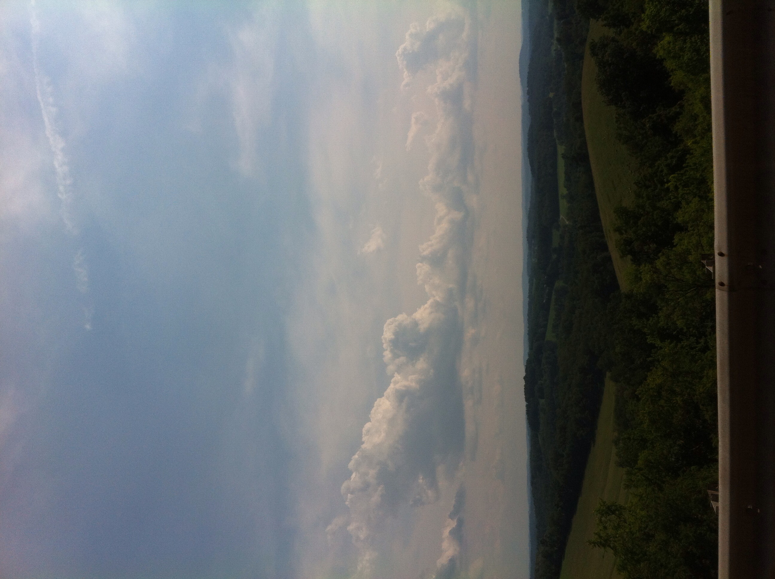
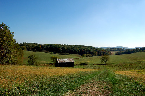
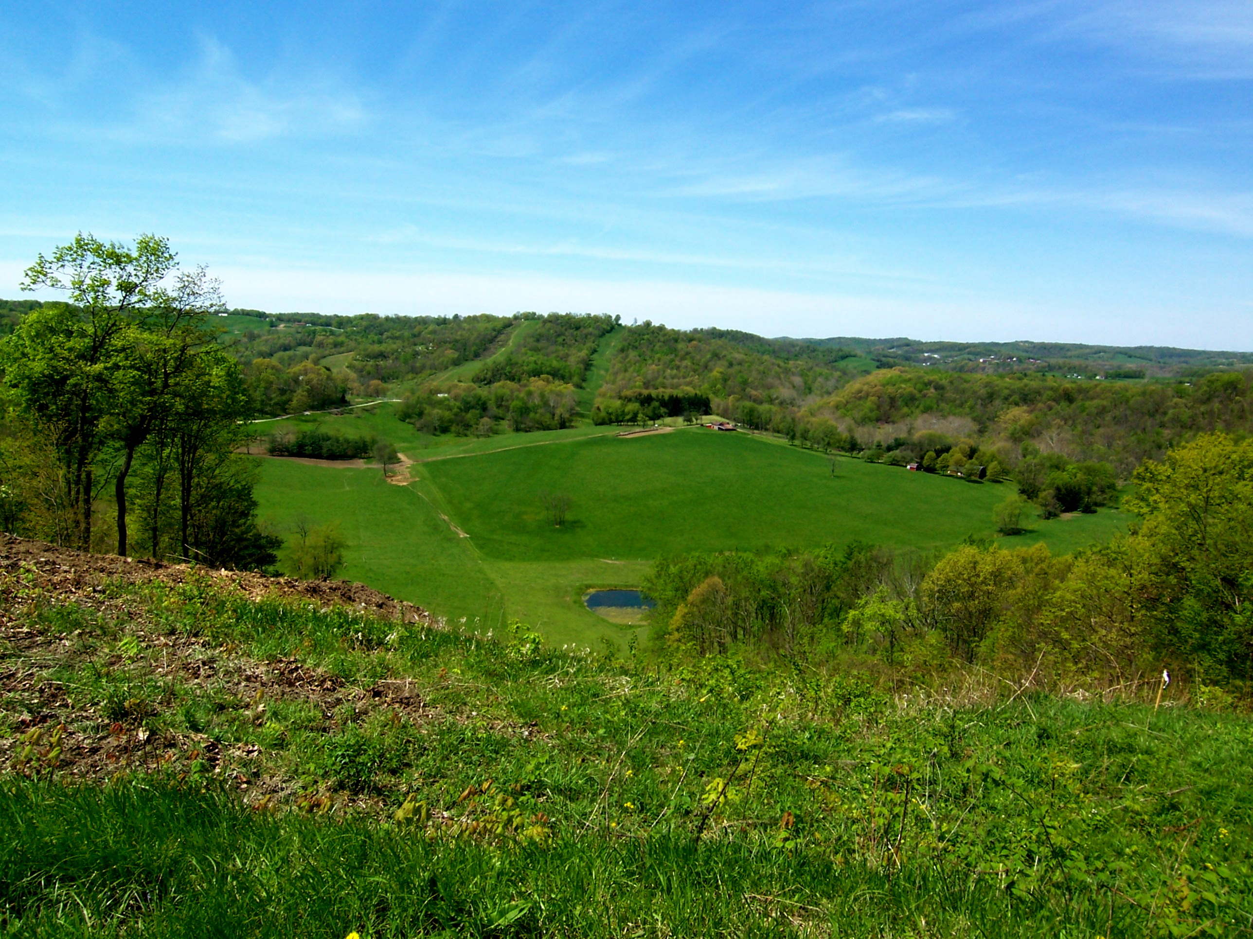
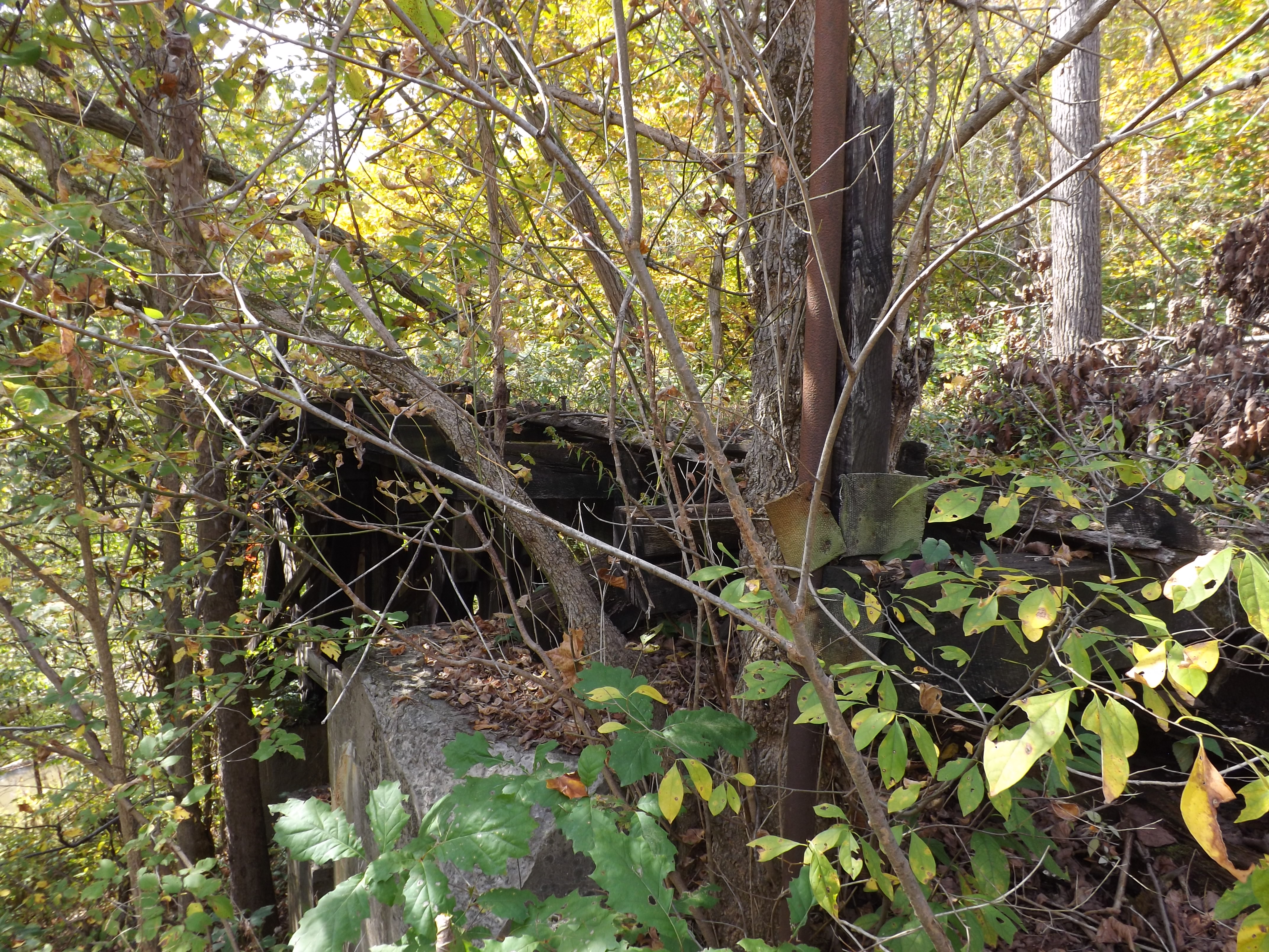
Related Photos:
Pennsylvania ~ Fredericktown
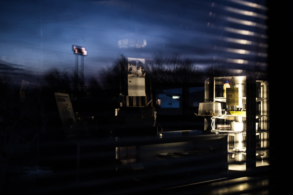
Debbie's Delite

Downtown Pittsburgh and a blimp in the distance - Scenery Hill, PA
Pittsburgh from the Rivers
IMG_1770-72Ptzl1scTBbLG2

Bailey Covered Bridge, barrel view, Washington County, PA

Bailey Covered Bridge, cross creek view, Washington County, PA

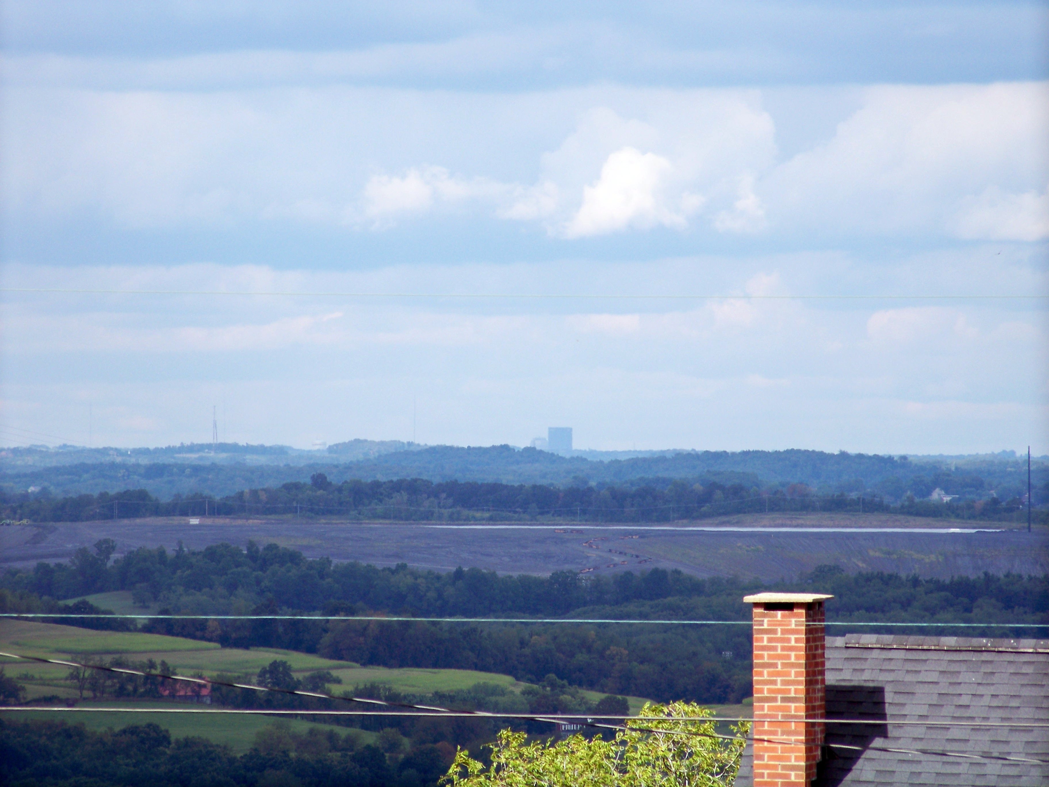
Distant City II

Darkness Falls
Dual View

Pennsylvania ~ Scenery Hill
Pennsylvania ~ Scenery Hill
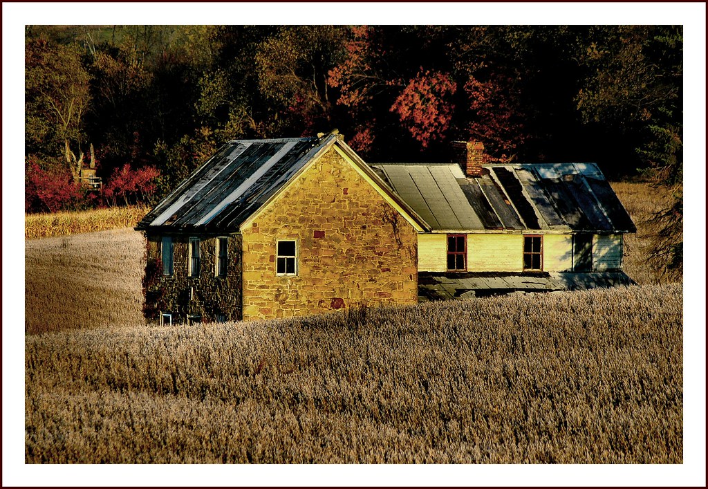
Once Upon a Time
this is not the view from brian's driveway
Distant View of Pittsburgh

Wright / Cerl Covered Bridge
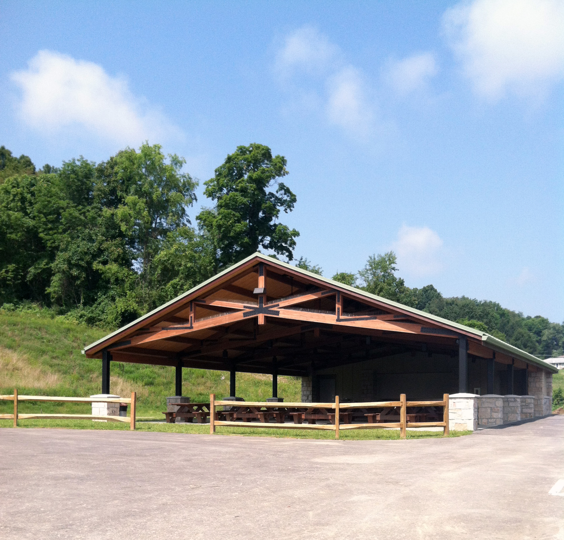
Front view of pavilion
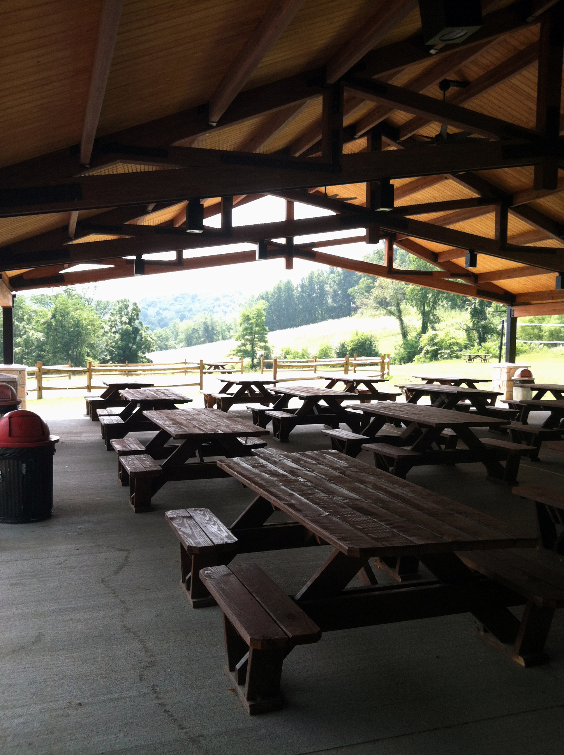
interior 2
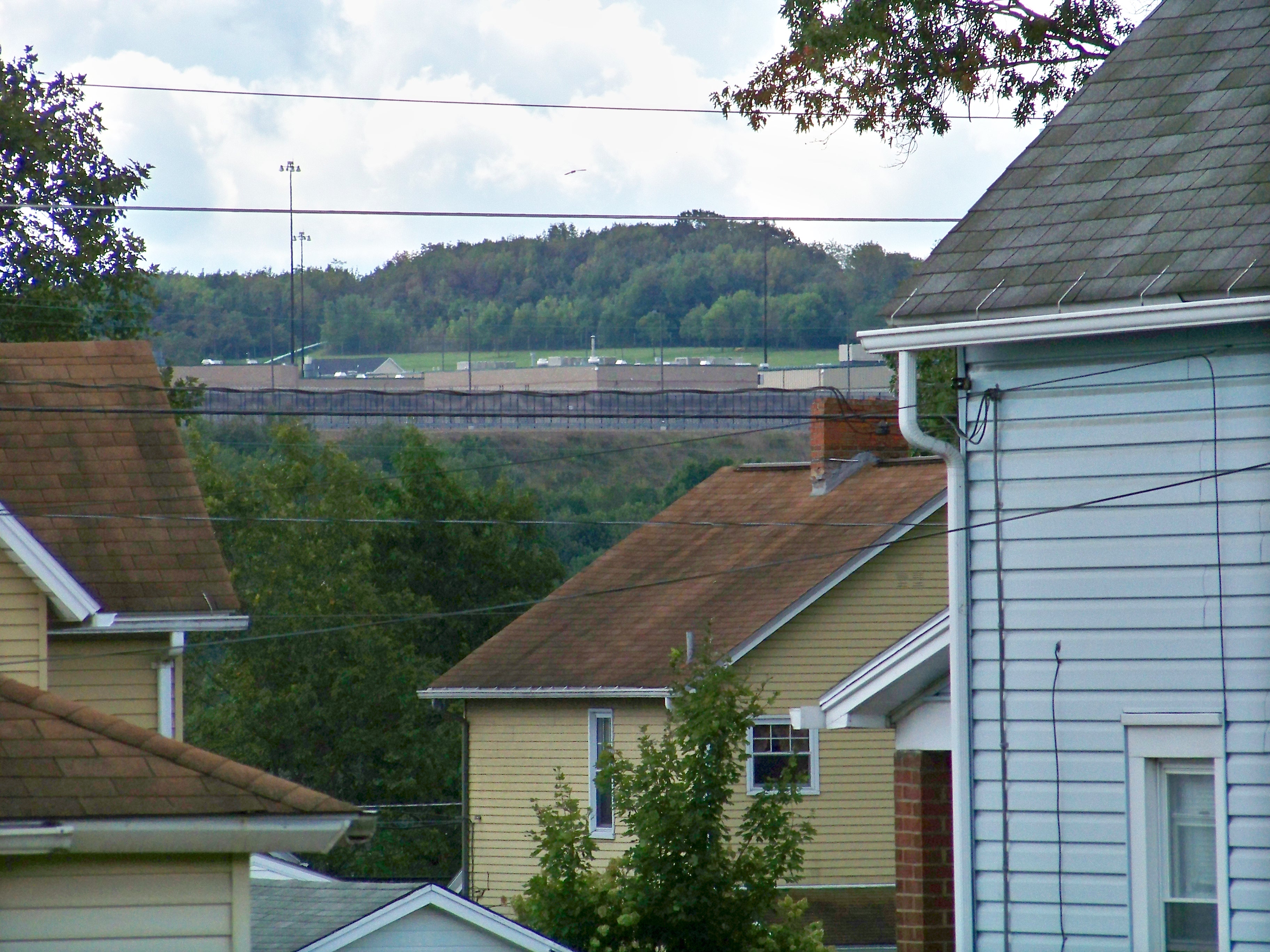
State Prison
view of property
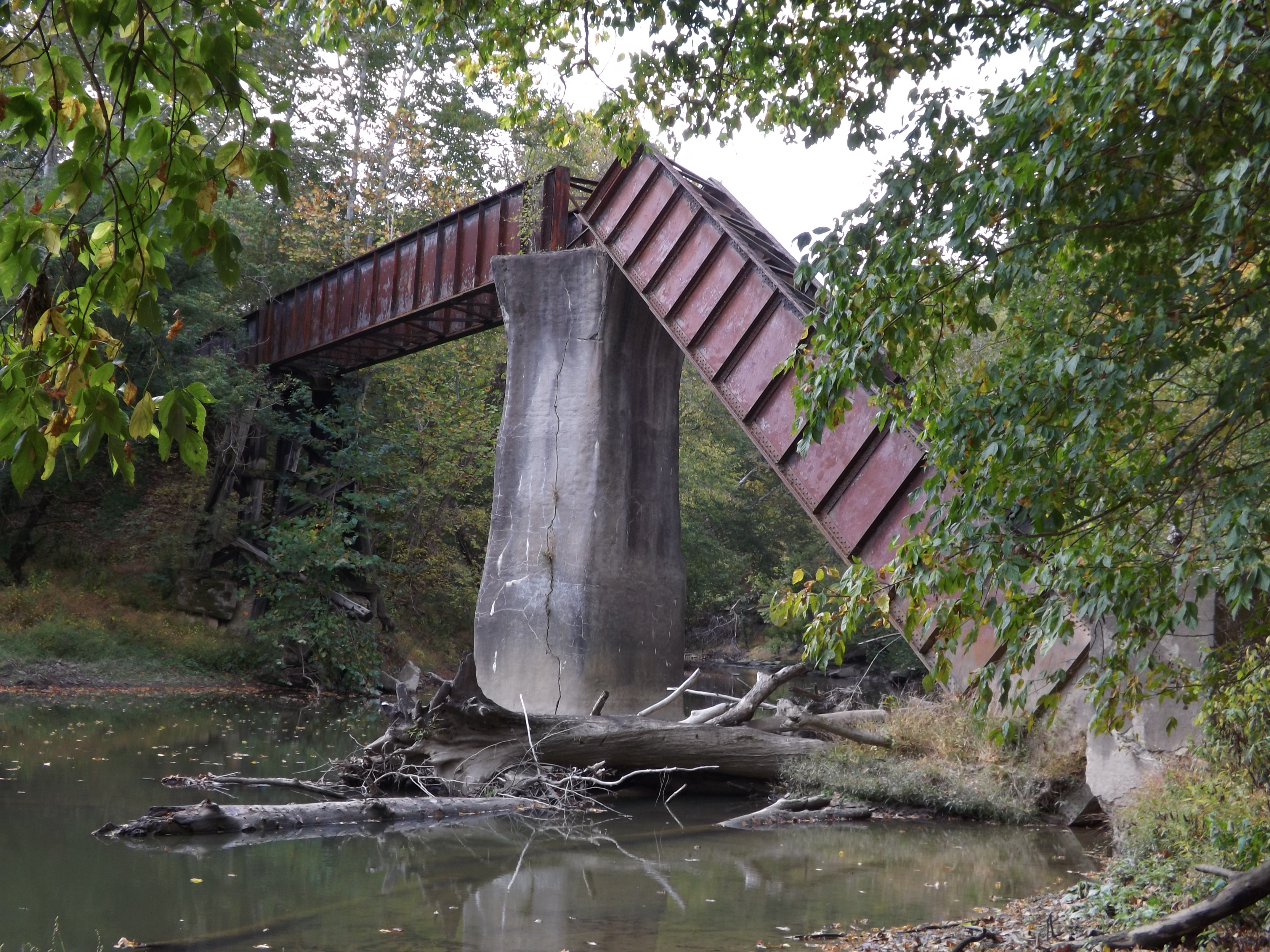
'Big Bridge' at Mather Mine 4of6
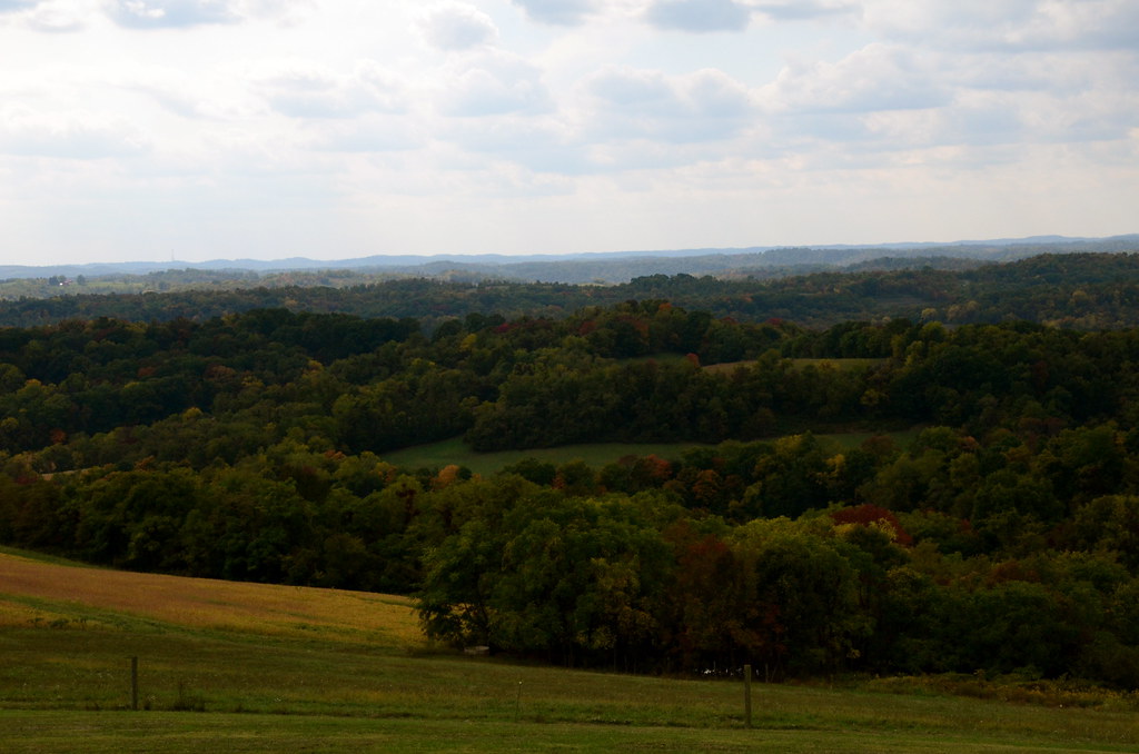
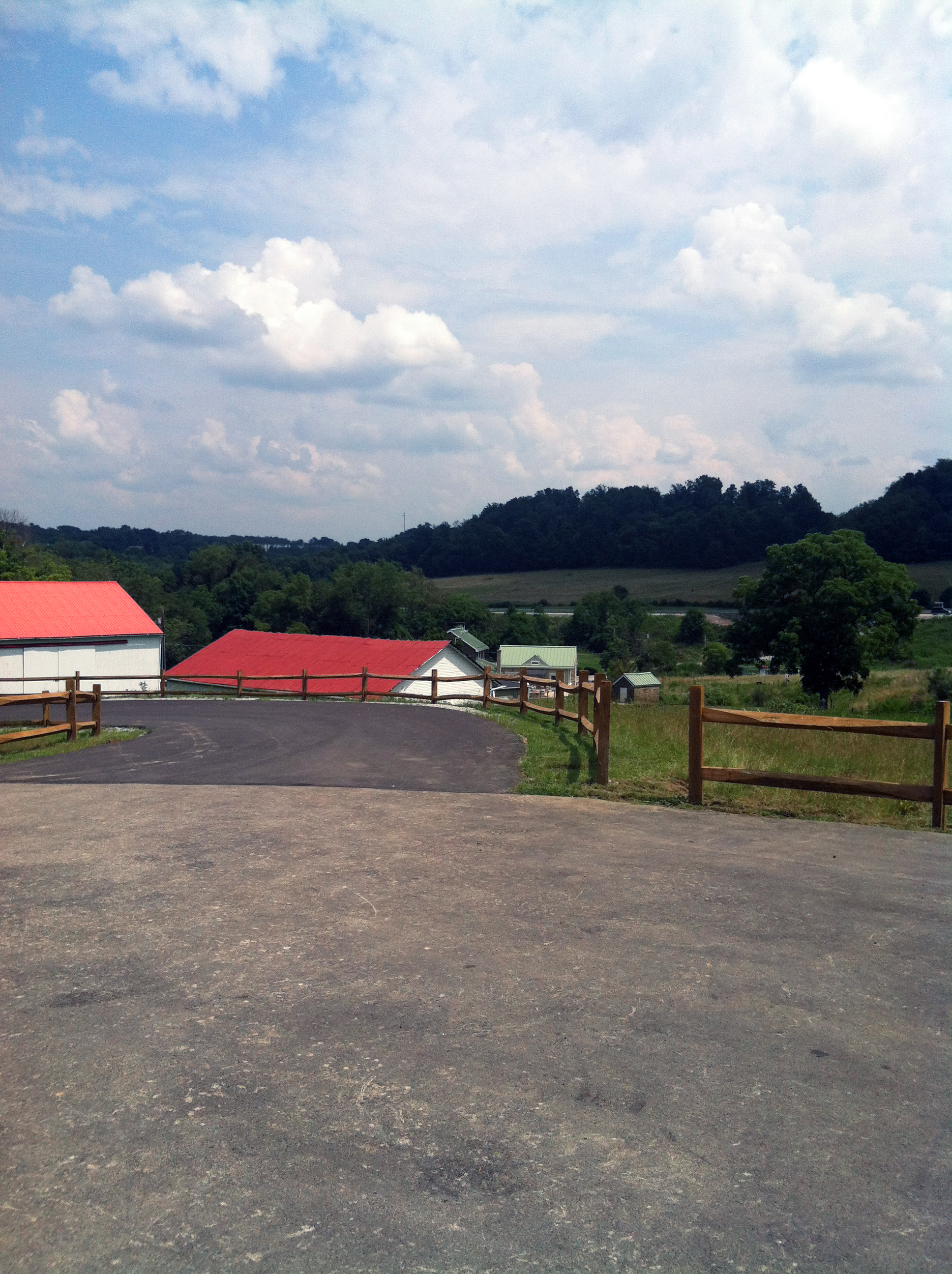
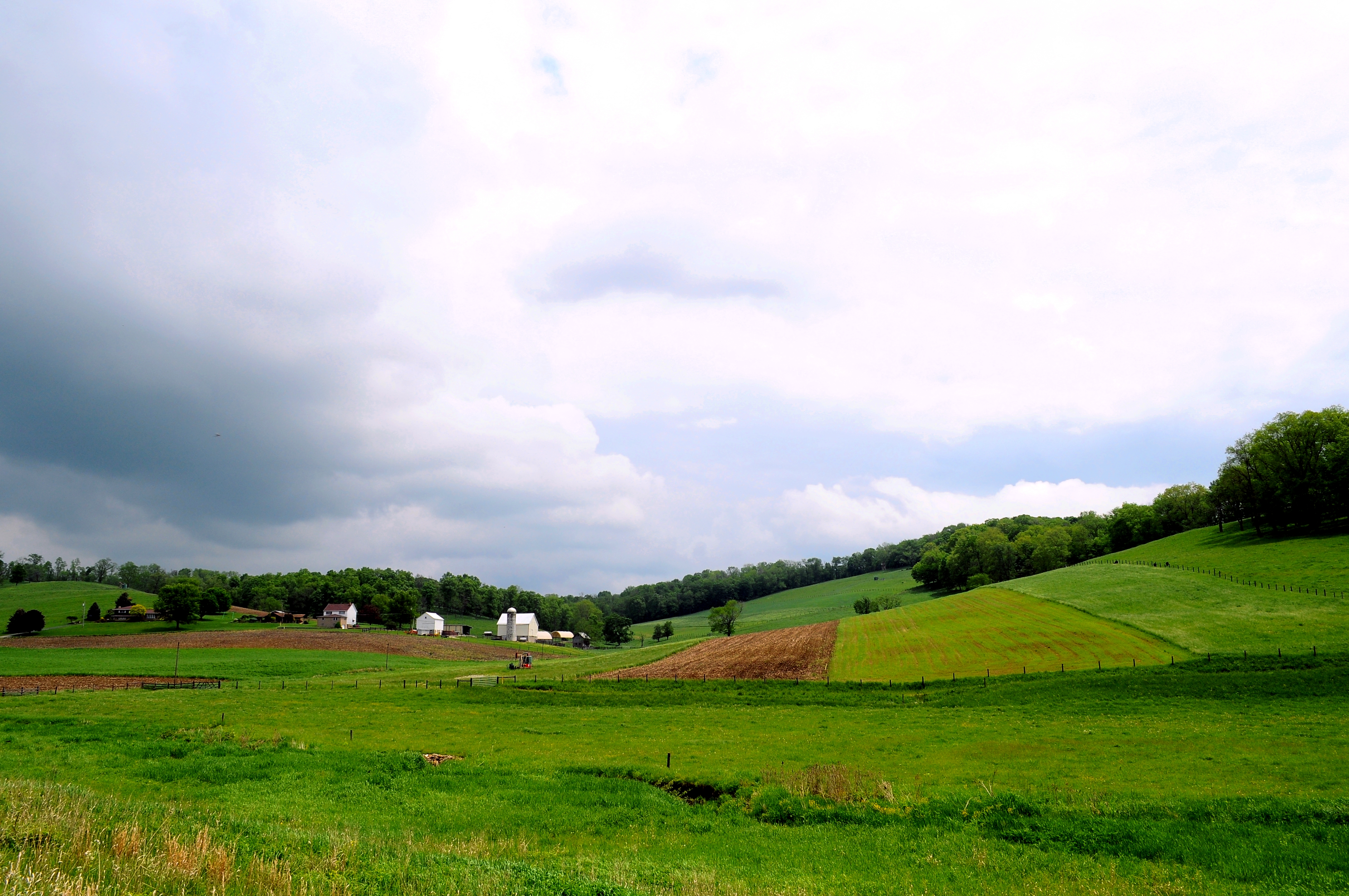
Scenery Hill Rolling Farm Land
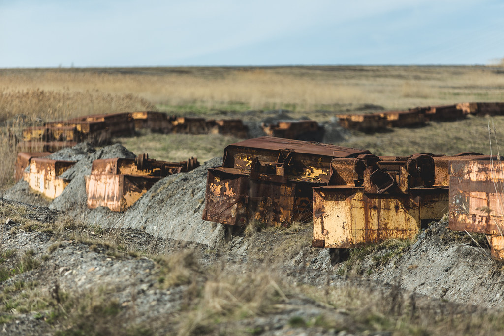
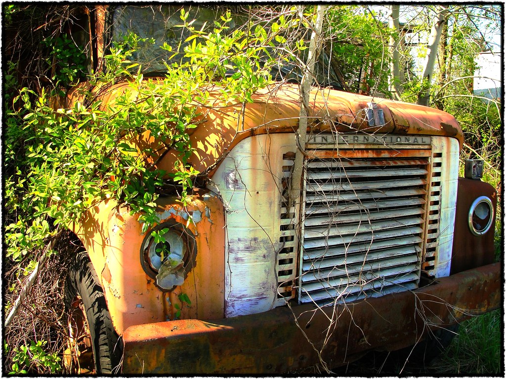
Trail of Rust

Fog seaping in.

Reservoir in Cokeburg PA
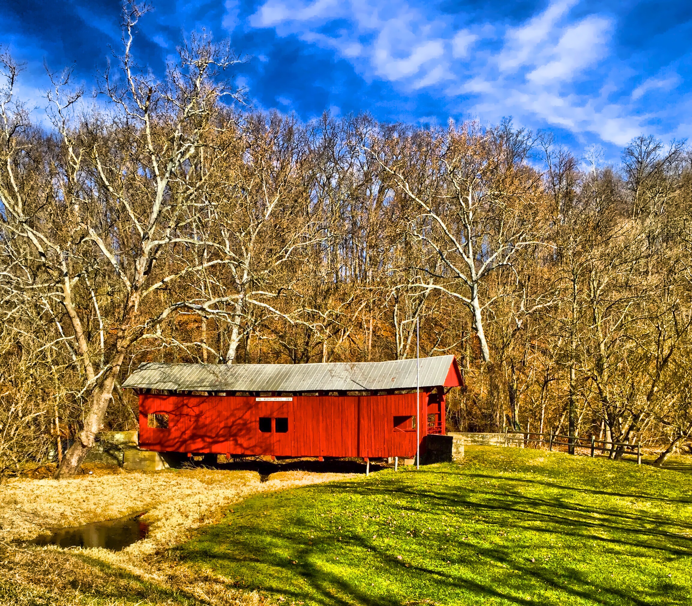
Hughes Bridge 1889
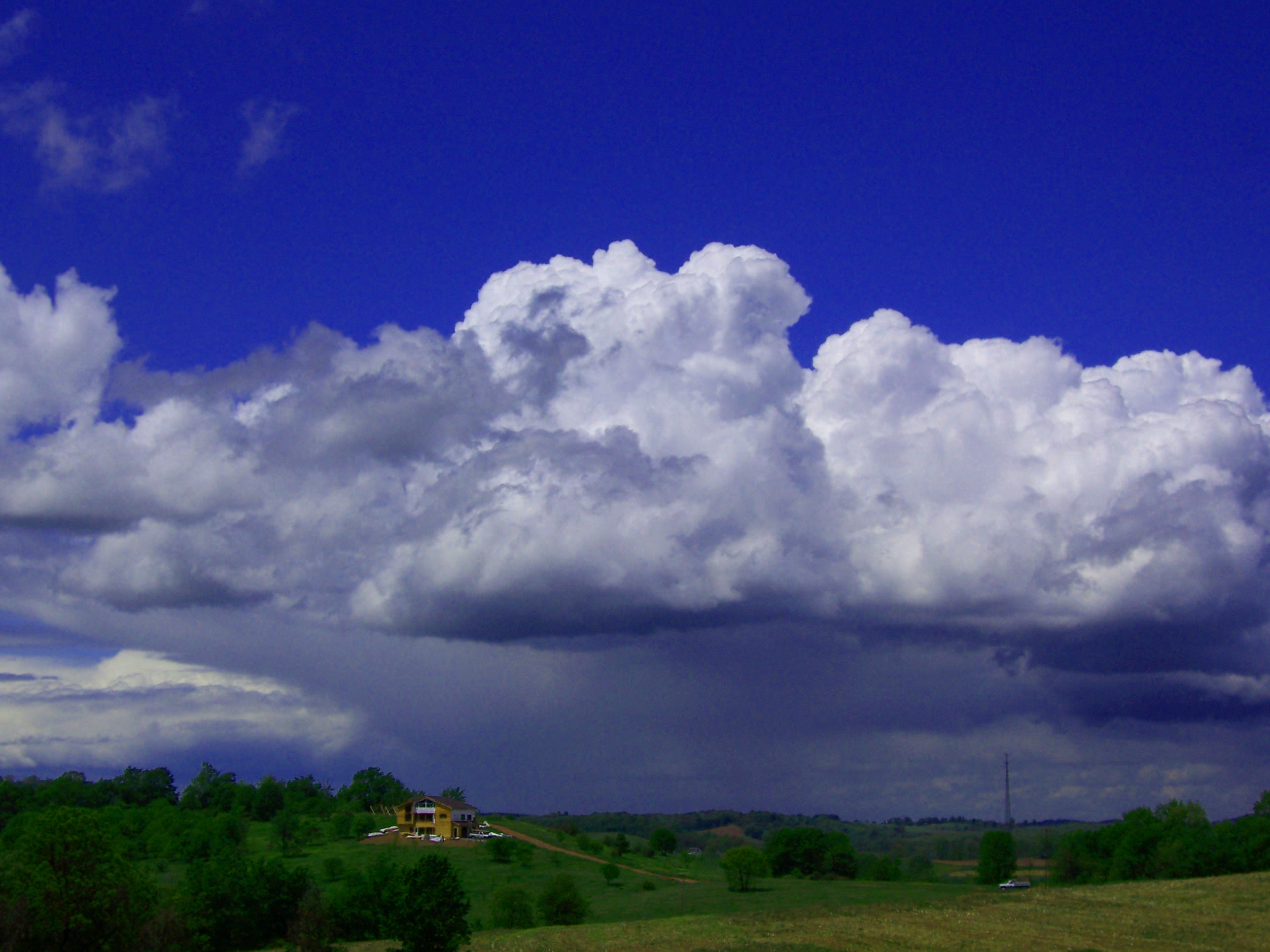
Blue, White, Green

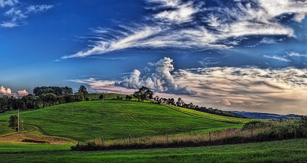
Rolling Panorama

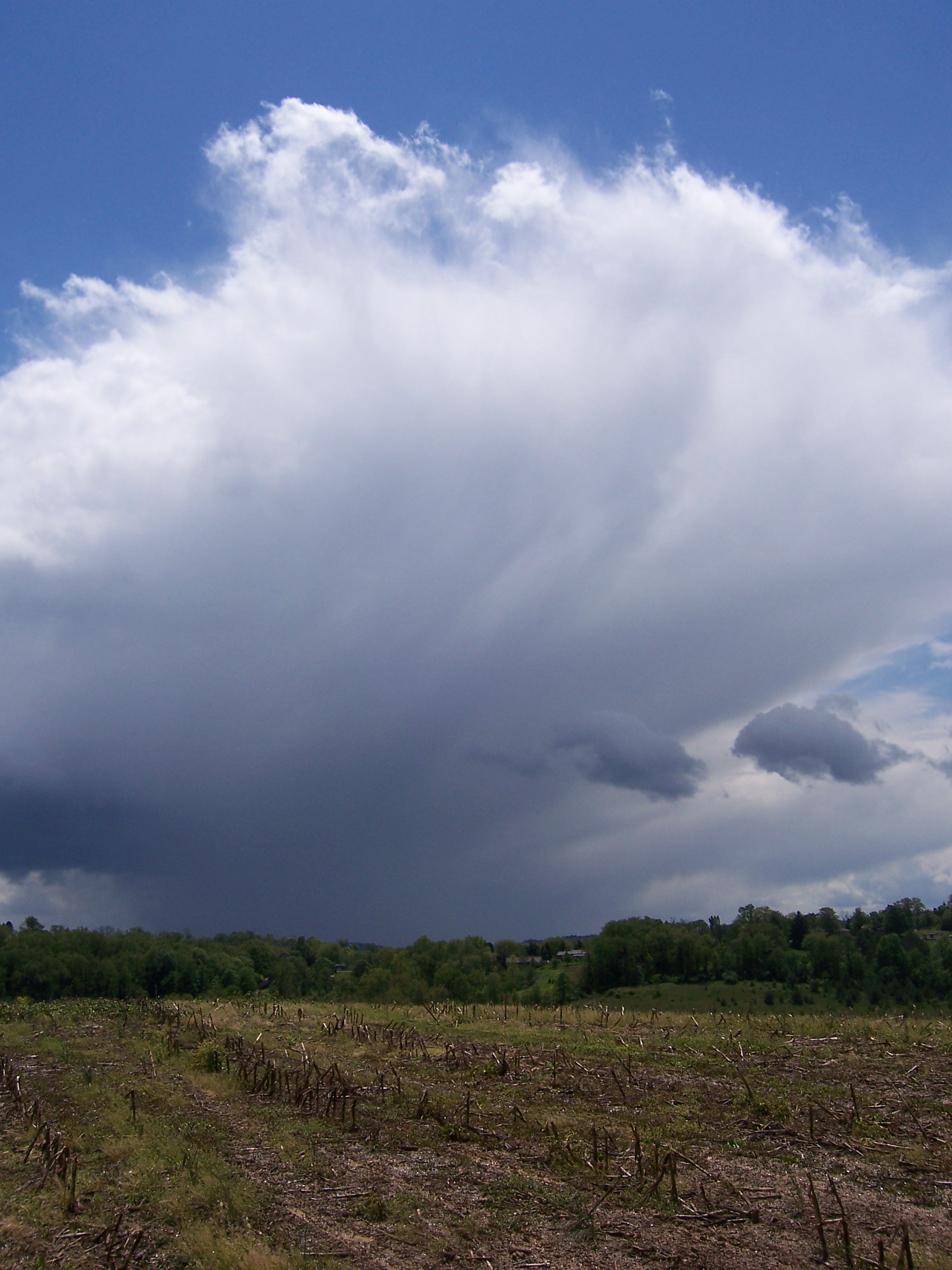
A field
Day 11 - Going Home
IMG_4767-68PtRzl1scTBbLG
5-19-06 050
New Pipeline
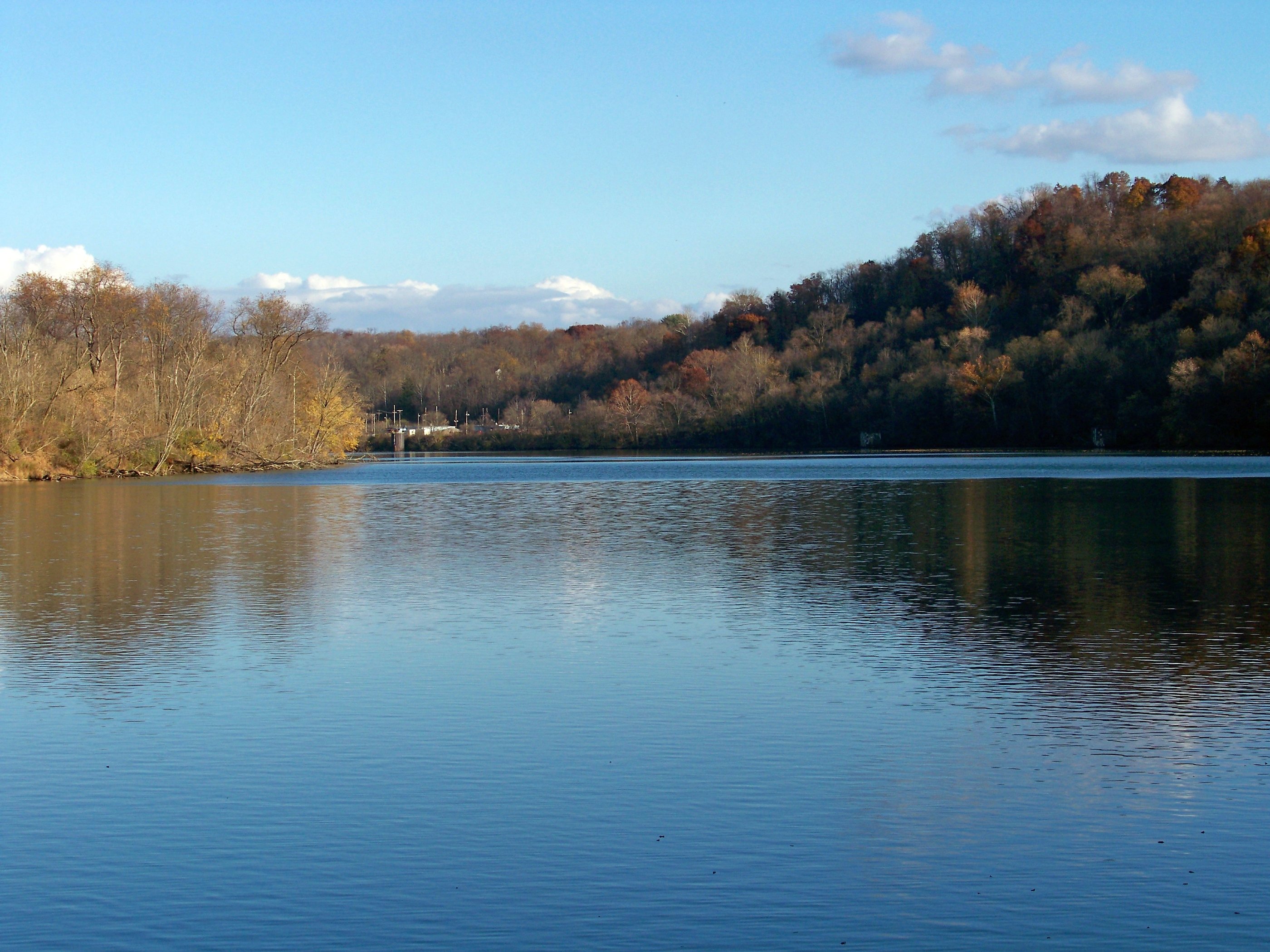
Monongahela River
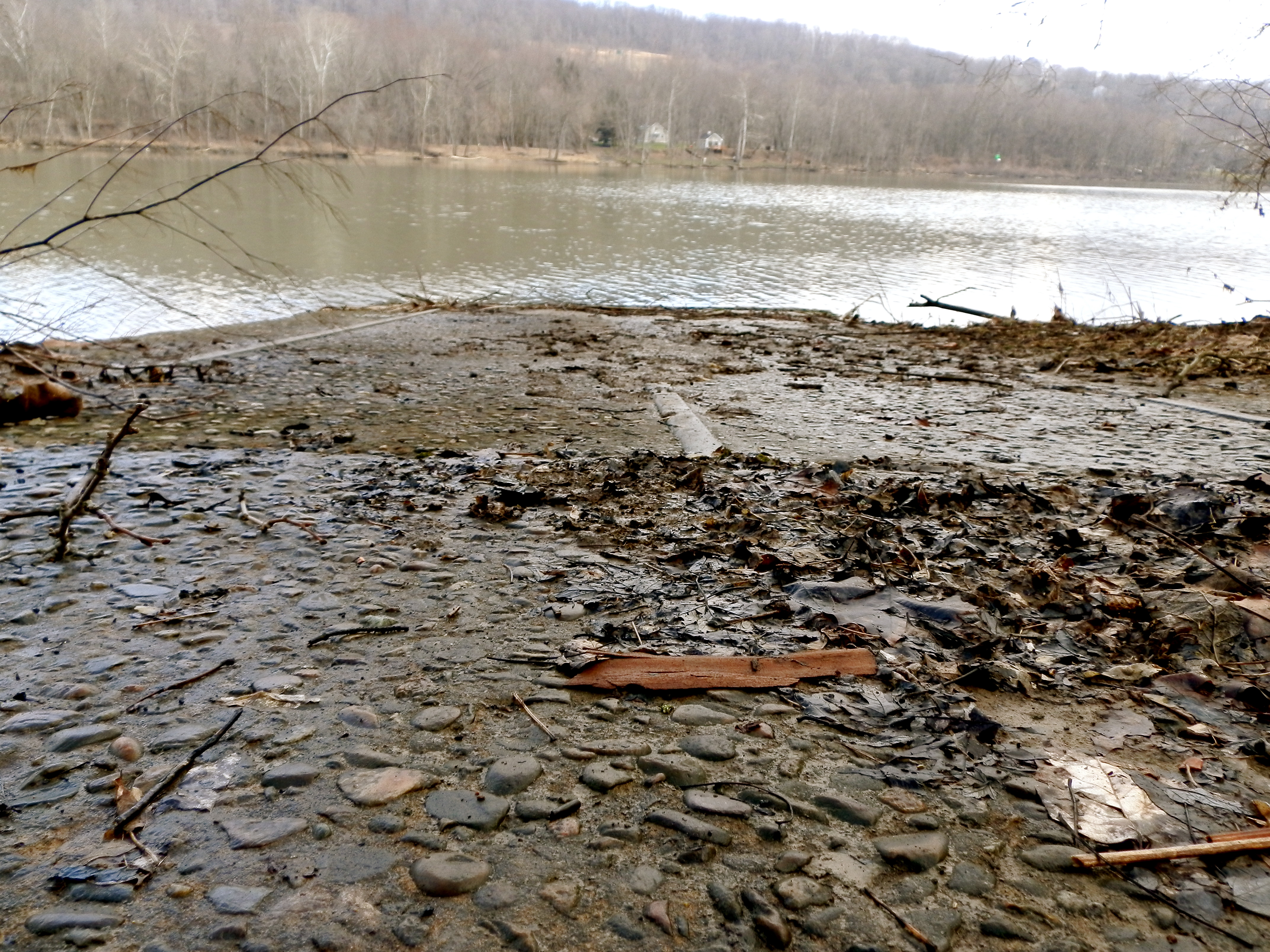
Crucible Ferry landing
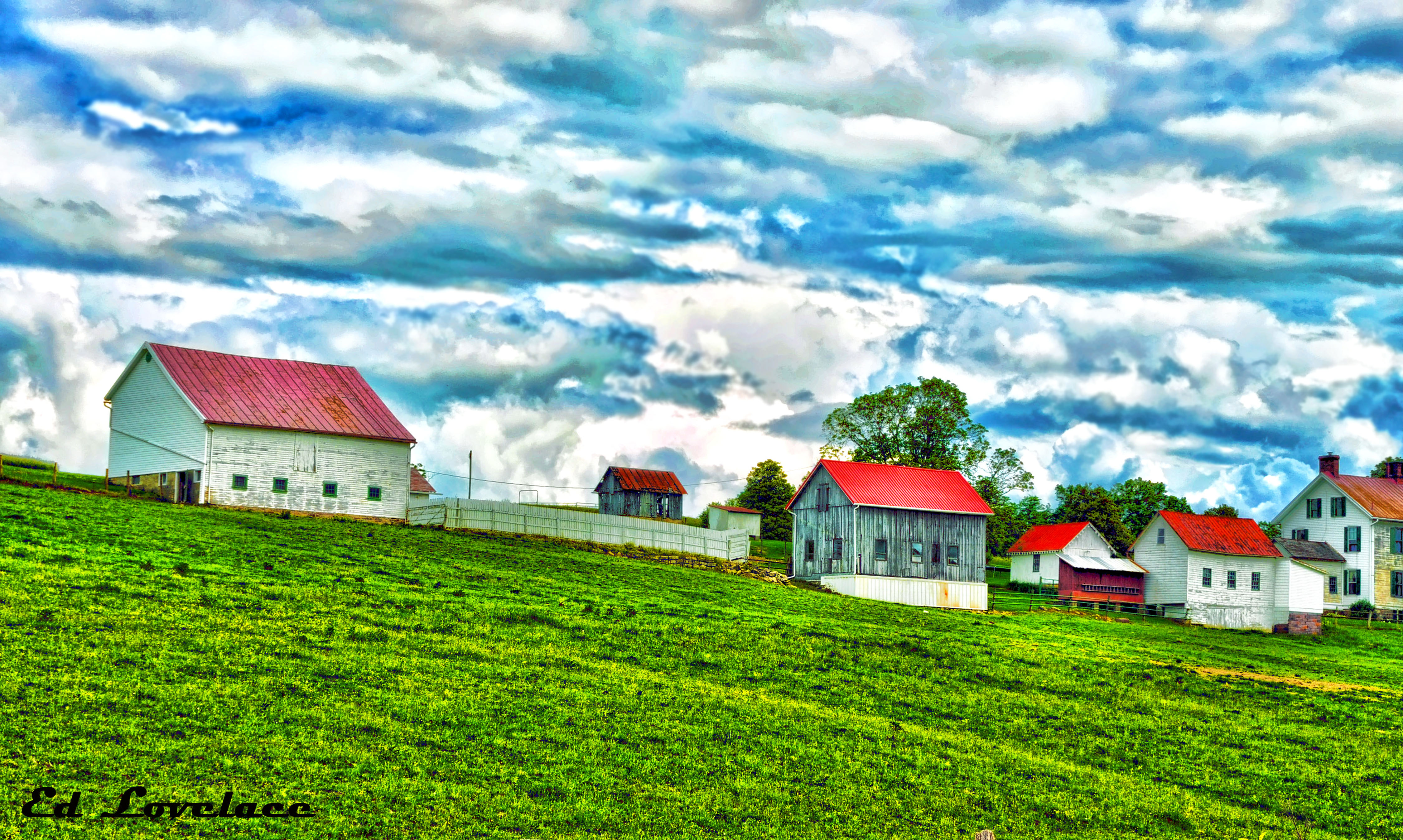
Farms and the country
just over the hill

Song Sparrow
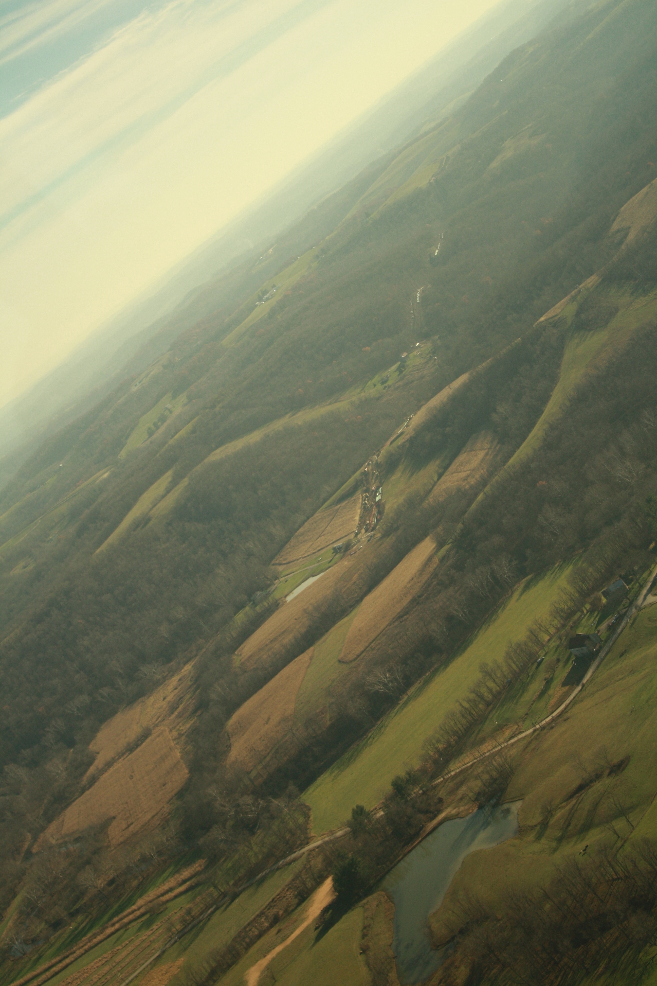
The Big Valley
'Big Bridge' at Mather Mine 5of6
Woods behind church
Topographic Map of Marianna, PA, USA
Find elevation by address:

Places in Marianna, PA, USA:
Places near Marianna, PA, USA:
5-1
Marianna, PA, USA
10 Mile Rd, Marianna, PA, USA
Castile Run Rd, Waynesburg, PA, USA
Deemston
Morgan Township
Clarksville
Barnard Rd, Fredericktown, PA, USA
Beallsville
East Bethlehem Township
Richeyville
National Pike, Richeyville, PA, USA
49 Emery Rd
Jefferson
Fredericktown
Braden Run Road
East Millsboro
Jefferson, PA, USA
Labelle Rd, East Millsboro, PA, USA
Centerville
Recent Searches:
- Elevation of Congressional Dr, Stevensville, MD, USA
- Elevation of Bellview Rd, McLean, VA, USA
- Elevation of Stage Island Rd, Chatham, MA, USA
- Elevation of Shibuya Scramble Crossing, 21 Udagawacho, Shibuya City, Tokyo -, Japan
- Elevation of Jadagoniai, Kaunas District Municipality, Lithuania
- Elevation of Pagonija rock, Kranto 7-oji g. 8"N, Kaunas, Lithuania
- Elevation of Co Rd 87, Jamestown, CO, USA
- Elevation of Tenjo, Cundinamarca, Colombia
- Elevation of Côte-des-Neiges, Montreal, QC H4A 3J6, Canada
- Elevation of Bobcat Dr, Helena, MT, USA