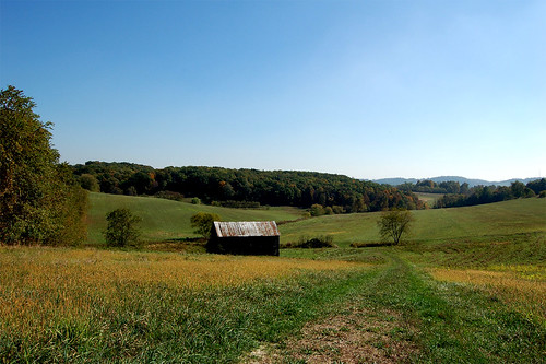
Elevation of 5-1 Daisy Alley, Marianna, PA, USA

Location: United States > Pennsylvania > Washington County > Marianna >

Longitude: -80.088930

Latitude: 40.0251035

Elevation: 263m / 863feet

Barometric Pressure: 98KPa

Elevation Map:

elevation map of 5-1 Daisy Alley, Marianna, PA, USA

Satellite Map:

Satellite map of 5-1 Daisy Alley, Marianna, PA, USA

Related Photos:

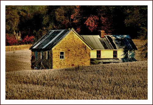
county morning autumn house fall rural washington frost pennsylvania farm country rustic pa beallsville
Once Upon a Time
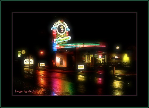
street storm ice rain night pennsylvania main cream pa hopper debbies delite washingtoncounty bentleyville lpilluminated
Debbie's Delite
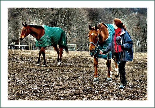
horses horse ride pennsylvania farm pa chestnut stable thoroughbred equine thoroughbreds riders paddock fallowfield
Fresh Horses
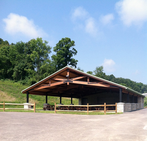
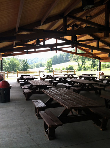
pavillion saifarm
Front view of pavilion
pavillion saifarm
interior 2
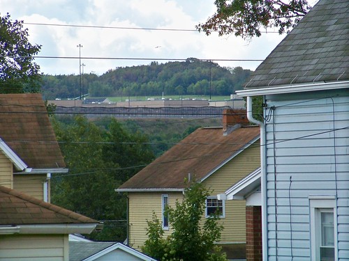
pennsylvania prison jail fayettecounty washingtoncounty vestaburg scifayette
State Prison
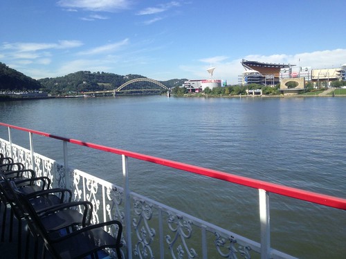
Pittsburgh from the Rivers
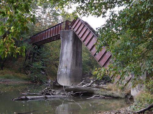
'Big Bridge' at Mather Mine 4of6
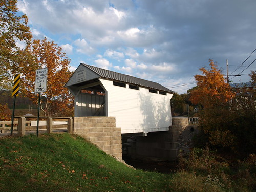
Lippincott-Cox Farm Covered Bridge side view, Greene County, PA
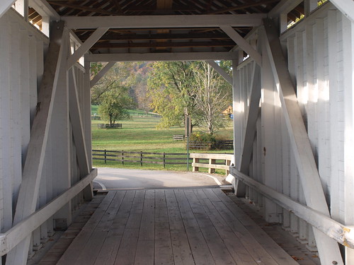
Lippincott-Cox Farm Covered Bridge, barrel view, Greene County, PA
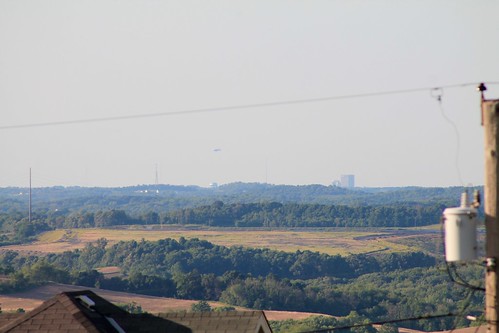
Downtown Pittsburgh and a blimp in the distance - Scenery Hill, PA
truck washington pennsylvania international ih sceneryhill lifeafterpeople erjkprunczyk
Pennsylvania ~ Scenery Hill
autumn fall colors cemetery leaves view pennsylvania hills highway40 sceneryhills corridorofhistory
this is not the view from brian's driveway
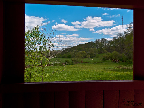
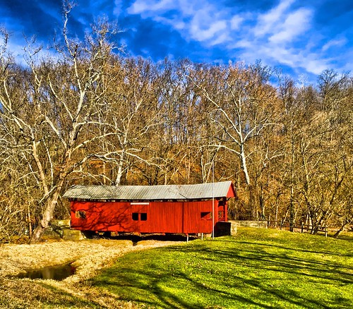
pennsylvania olympus coveredbridge zuiko allrightsreserved zd washingtoncounty 1454mm e520 olympuse520 kenreabejr copyright2011 svg1
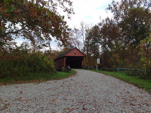
Wright / Cerl Covered Bridge
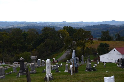
cemetery view pennsylvania highway40 sceneryhill sceneryhillcemetery corridorofhistory
scenery hill cemetery
Bailey Covered Bridge, barrel view, Washington County, PA
Bailey Covered Bridge, cross creek view, Washington County, PA
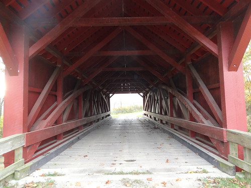
Wright Covered Bridge, barrel view, Washington County, PA
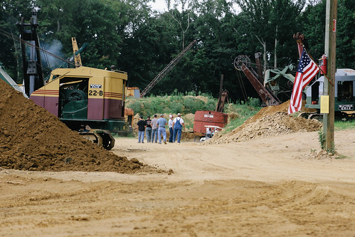
brownsville pennsylvania unitedstates us centerville nationalpikesteamgasandhorseassociation nationalpikesteam
Steam Scene
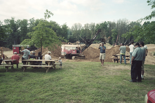
film unitedstates kodak pennsylvania centerville portra160 nationalpikesteam nationalpikesteamgasandhorseassociation
Observation deck
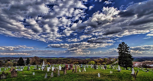
cemetery clouds rural canon colorful vivid imaging ultra ultravividimaging
IMG_1770-72Ptzl1scTBbLG2
trees sky lake color fall forest pond pennsylvania pa hdr cokeburg
Reservoir in Cokeburg PA
Hughes Bridge 1889
square squareformat mayfair iphoneography instagramapp uploaded:by=instagram foursquare:venue=4bd75be935aad13a00b58ef3
Luzerne Lake
sunset summer sky clouds landscape pennsylvania washingtonco summer2016
Beautiful Sunset
A field
farm country hills hillside colonelsanders93 115project
Day 11 - Going Home
clouds rural canon colorful farm scenic vivid fields imaging ultra sunsetclouds ultravivid canon5dmk2 ultravividimaging
IMG_4767-68PtRzl1scTBbLG
hdr iphone4s
iPhone HDR
New Pipeline
river pennsylvania monongahela greenecounty monongahelariver riceslanding
Monongahela River
autumn fall nature field grass sunrise landscape iphoneography
2013-09-28 07.40.19 HDR
Crucible Ferry landing
uploaded:by=flickrmobile flickriosapp:filter=nofilter
Farms and the country
mygearandme flickrstruereflection1
Scenery Hill Rolling Farm Land
fog evening hdr htc htcone
Fog seaping in.
clouds landscape thunderstorm
Blue, White, Green
sky panorama green field spring iphoto iphone4s
Rolling Panorama
landscape appleorchard nikond90
Apple Orchard
railroad train railway coal mga cr monongahela conrail emd sd402 sd40 coaltrain emdsd402 emdsd40 monongahelarailway clarksvillepa
CR 6490-6499, MGA, Clarksville, PA. 10-28-1990
storm clouds thunderstorm
5-19-06 050
just over the hill