Elevation of Braden Run Road, Braden Run Rd, Waynesburg, PA, USA
Location: United States > Pennsylvania > Greene County > Franklin Township > Waynesburg >
Longitude: -80.139380
Latitude: 39.9245627
Elevation: 319m / 1047feet
Barometric Pressure: 98KPa
Elevation Map:
Satellite Map:
Related Photos:
Back to Bailey
Pennsylvania ~ Rogersville
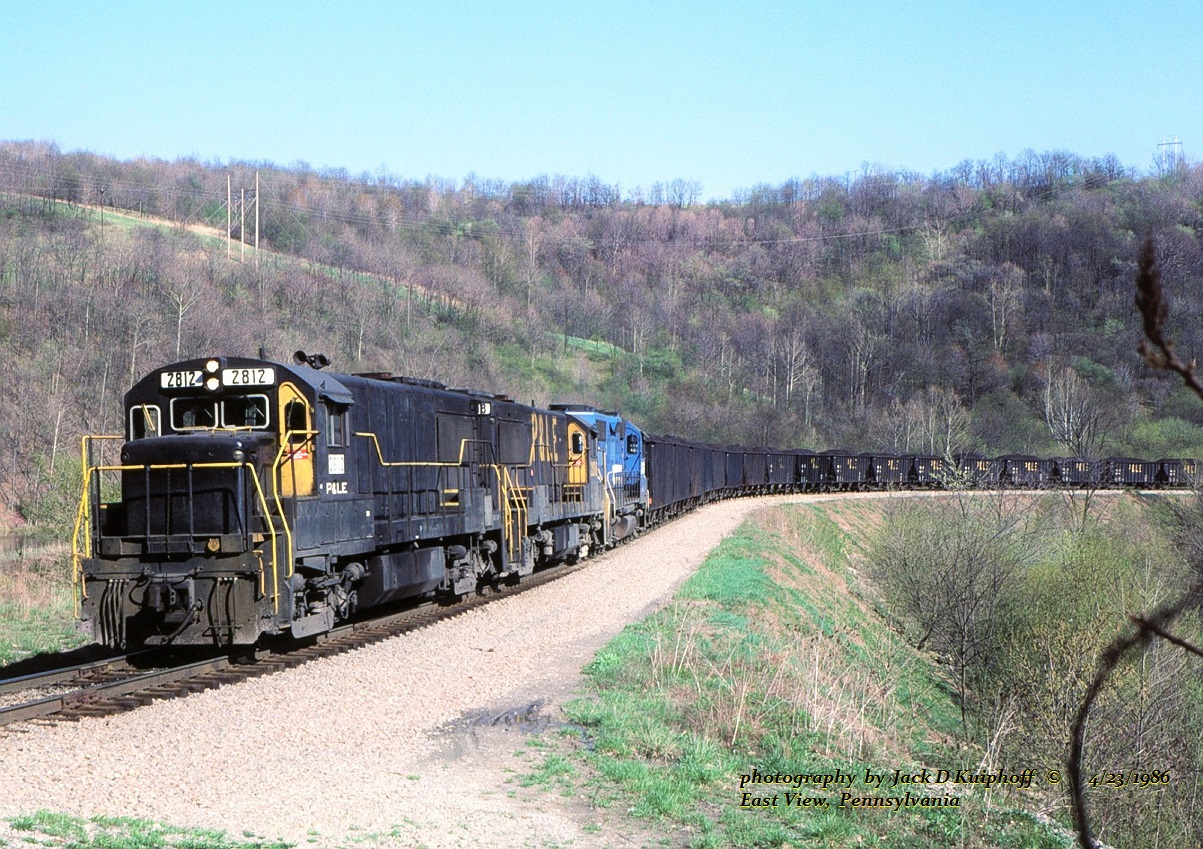
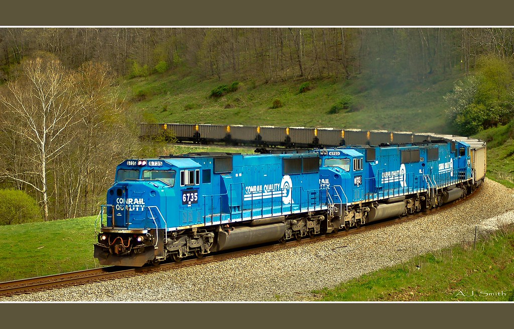
PLE 2812-2818-2039, East View, PA. 4-23-1986
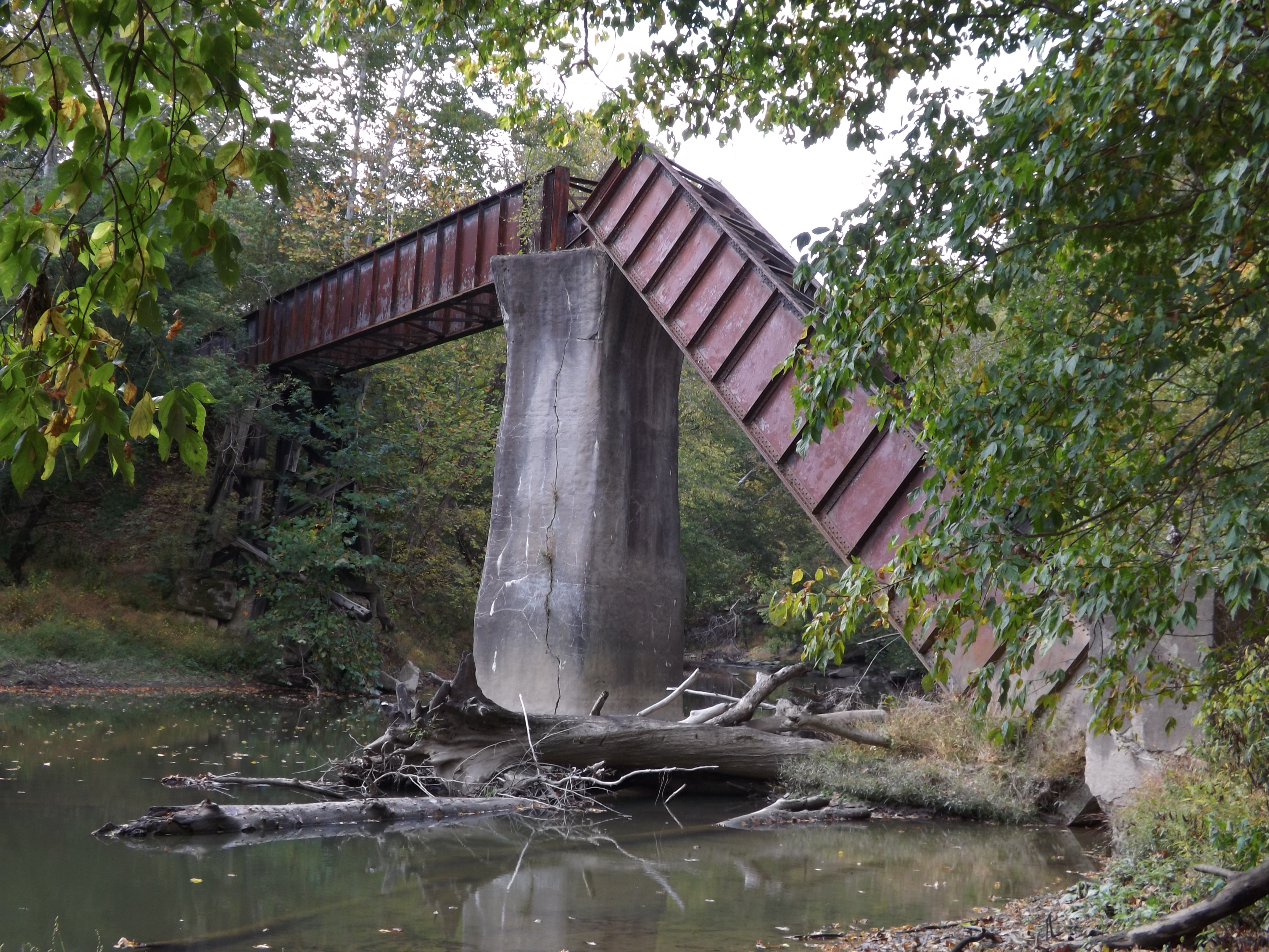
'Big Bridge' at Mather Mine 4of6
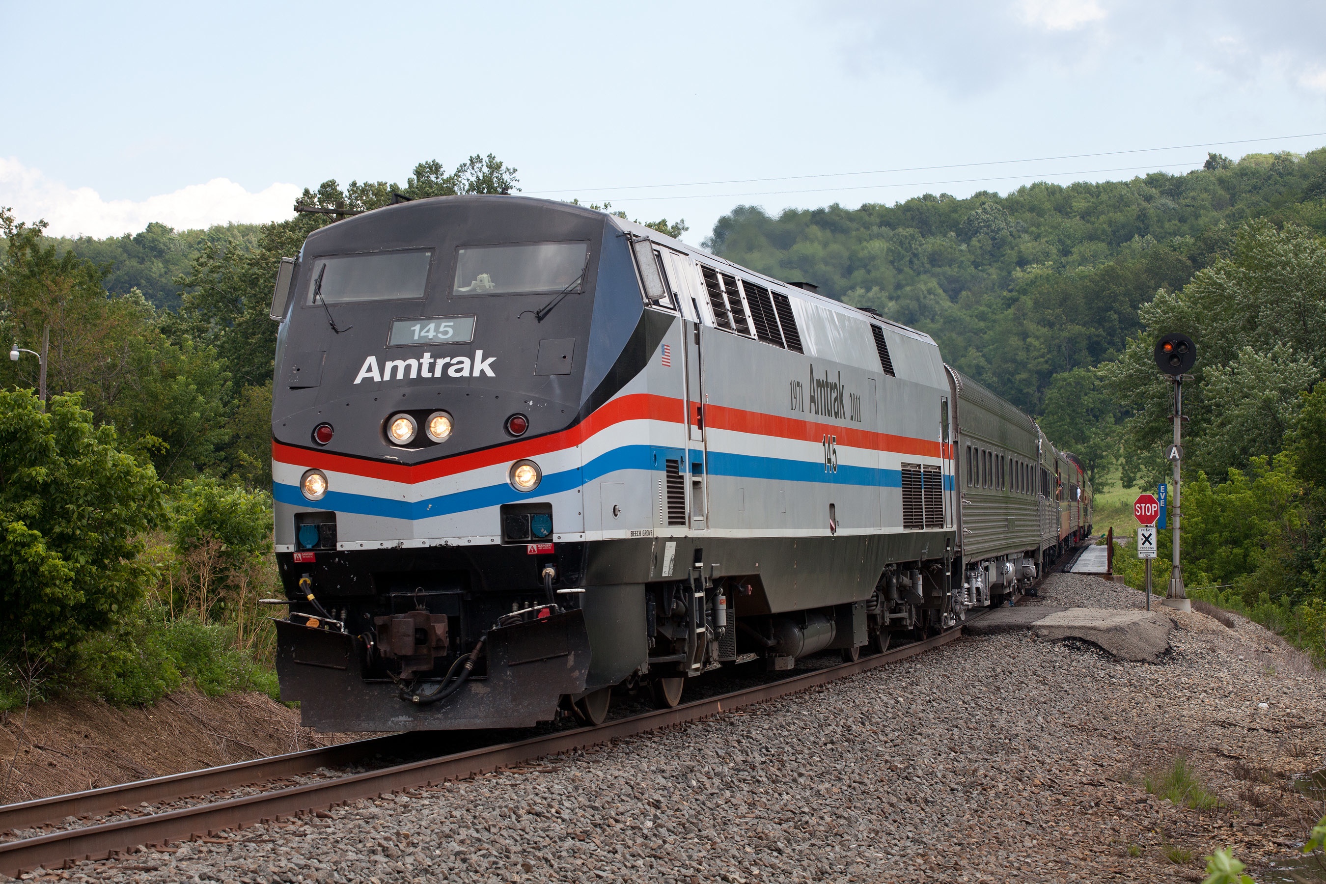
Amtrak 145 at EVE (East View)
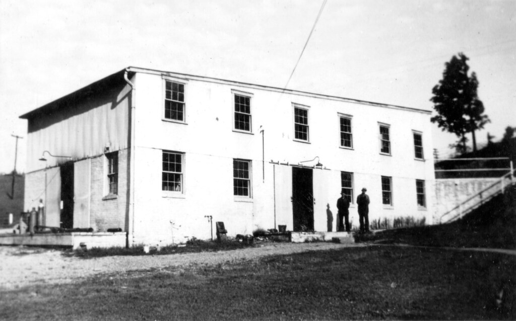
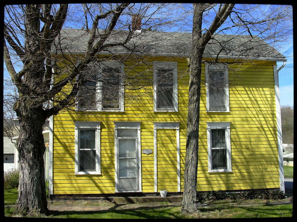
Waynesburg Warehouse
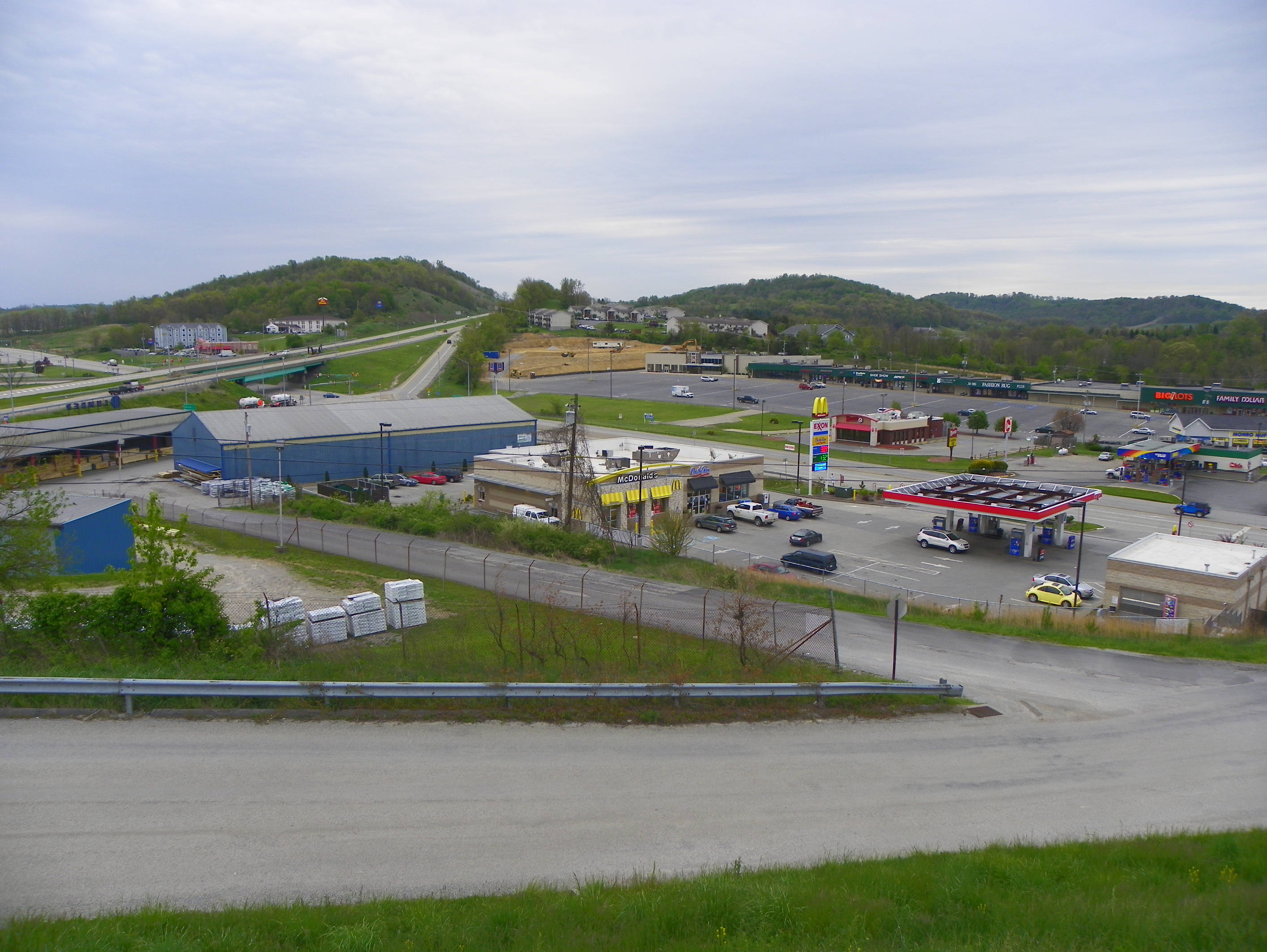
View from our Room at the Econo Lodge

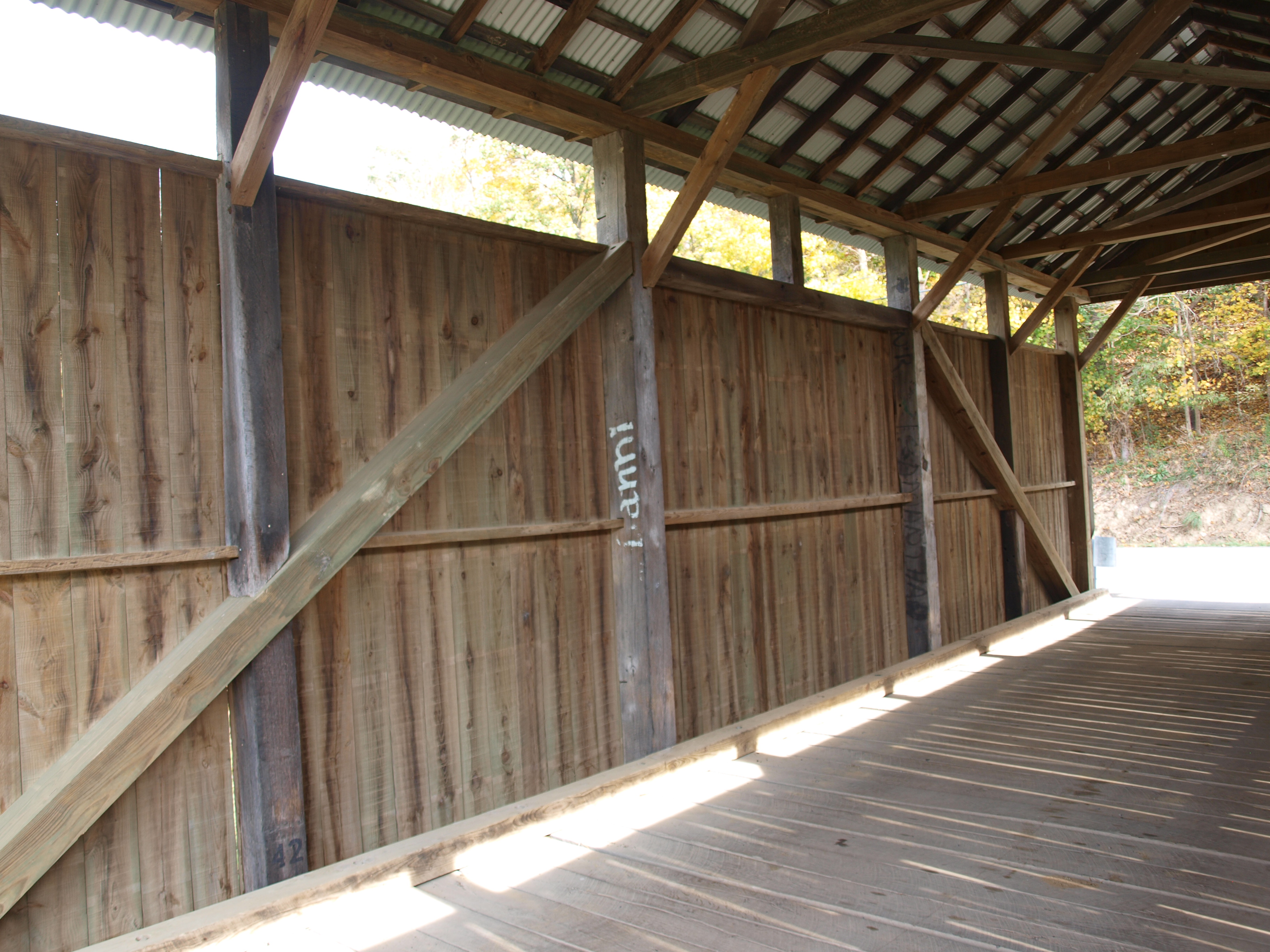
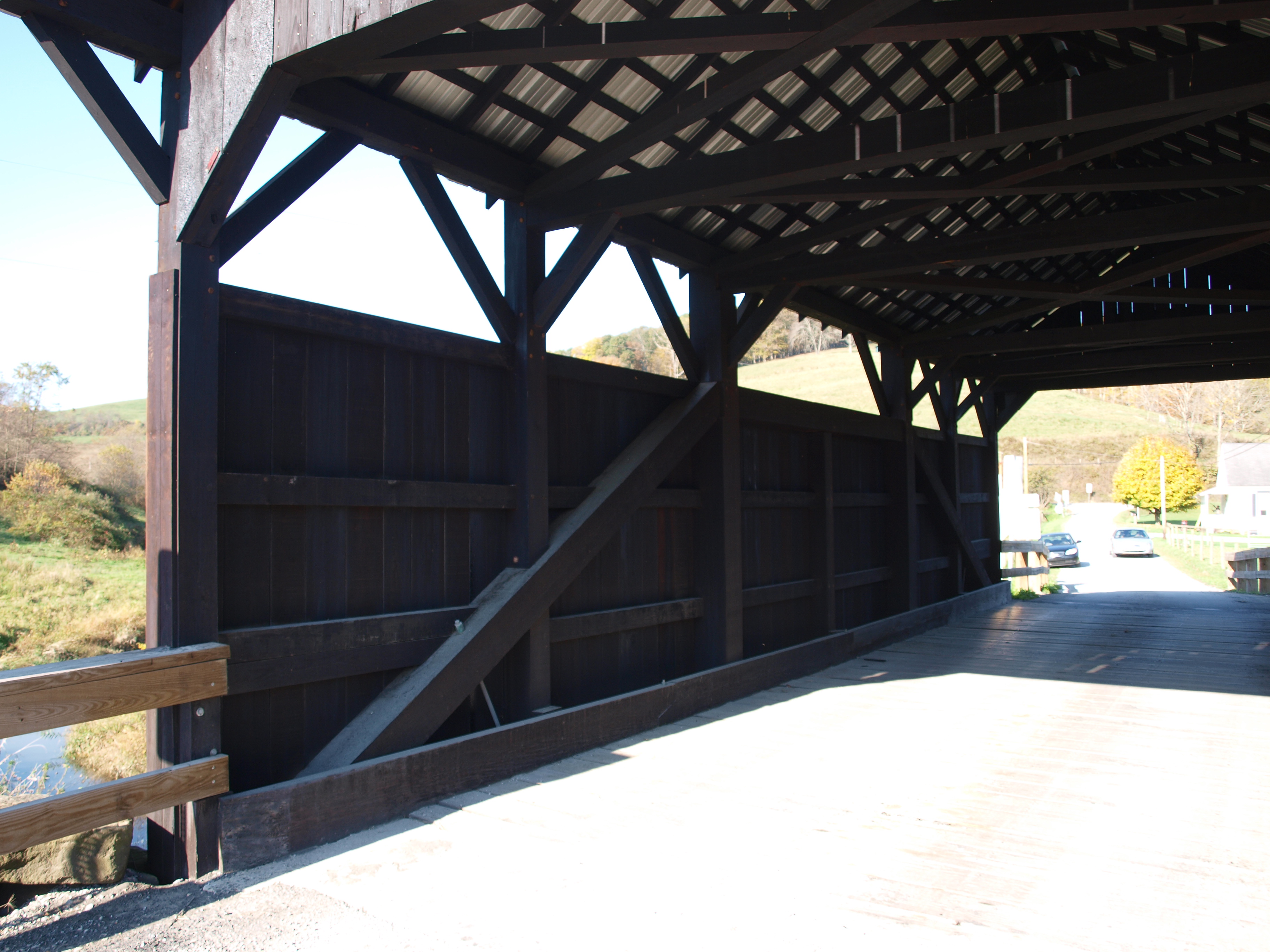
Bailey Covered Bridge, barrel view, Washington County, PA
Woods Covered Bridge, truss view, Greene County, PA
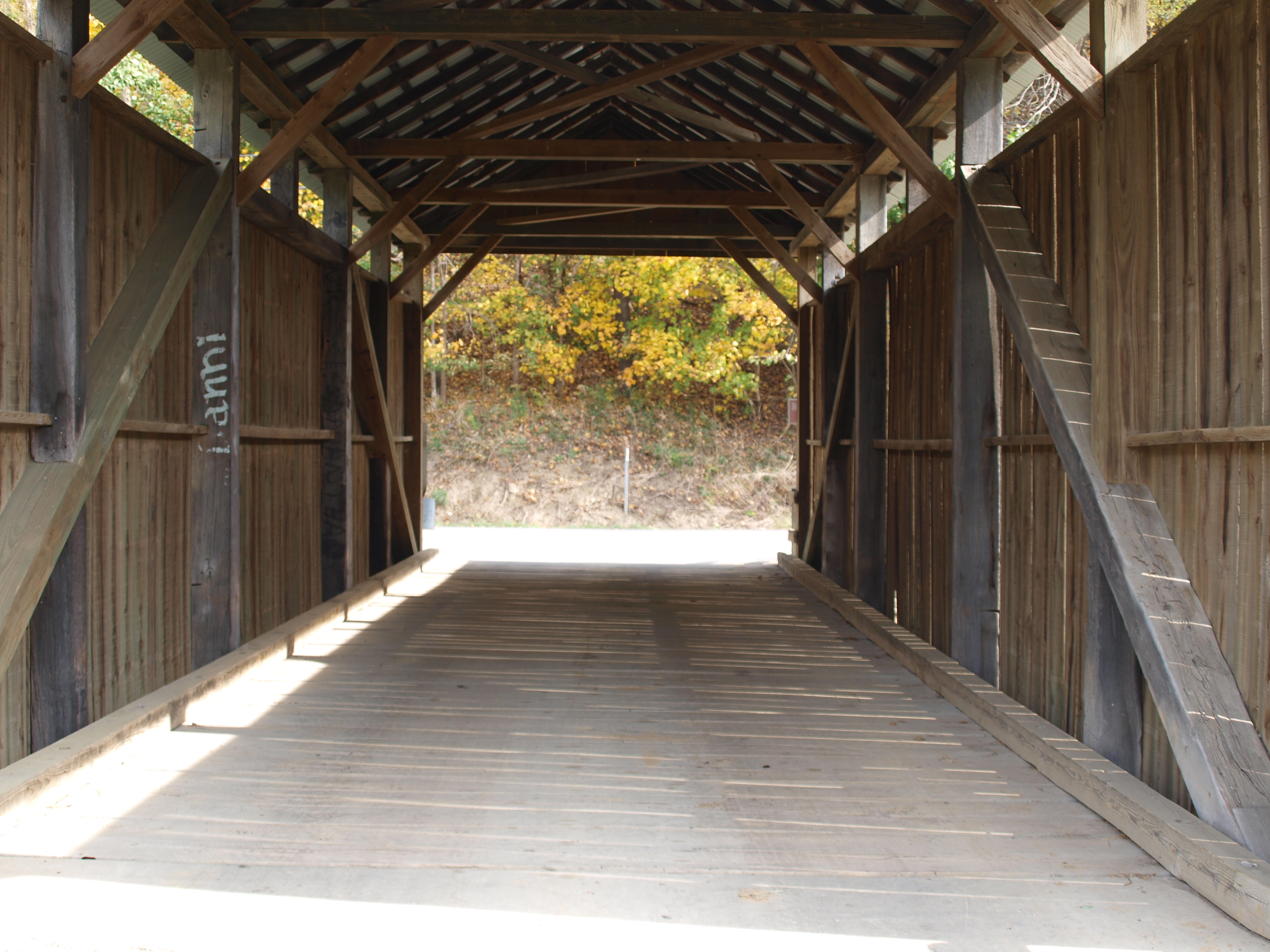
Woods Covered Bridge, barrel view, Greene County, PA
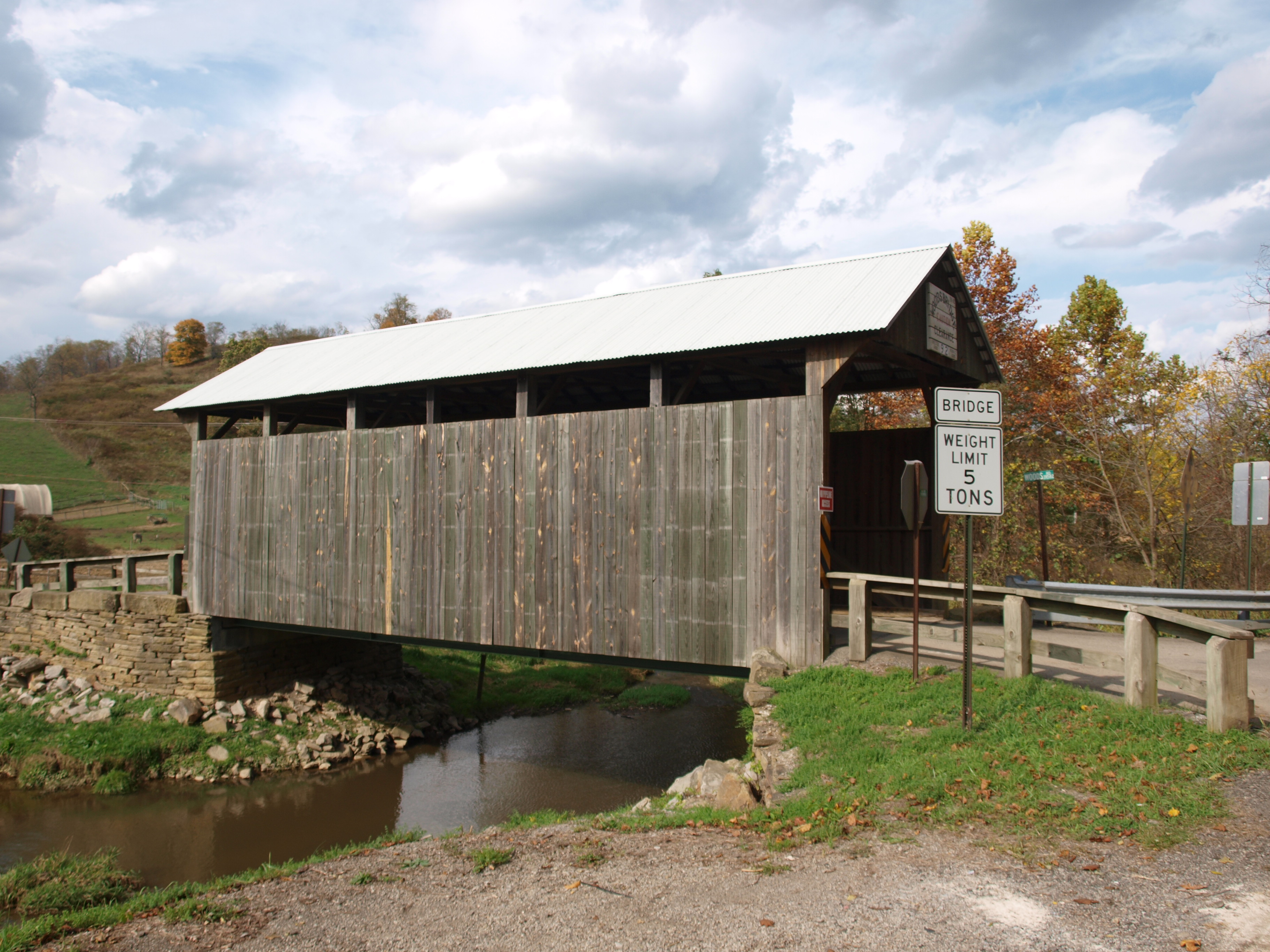
Woods Covered Bridge, side view, Greene County, PA
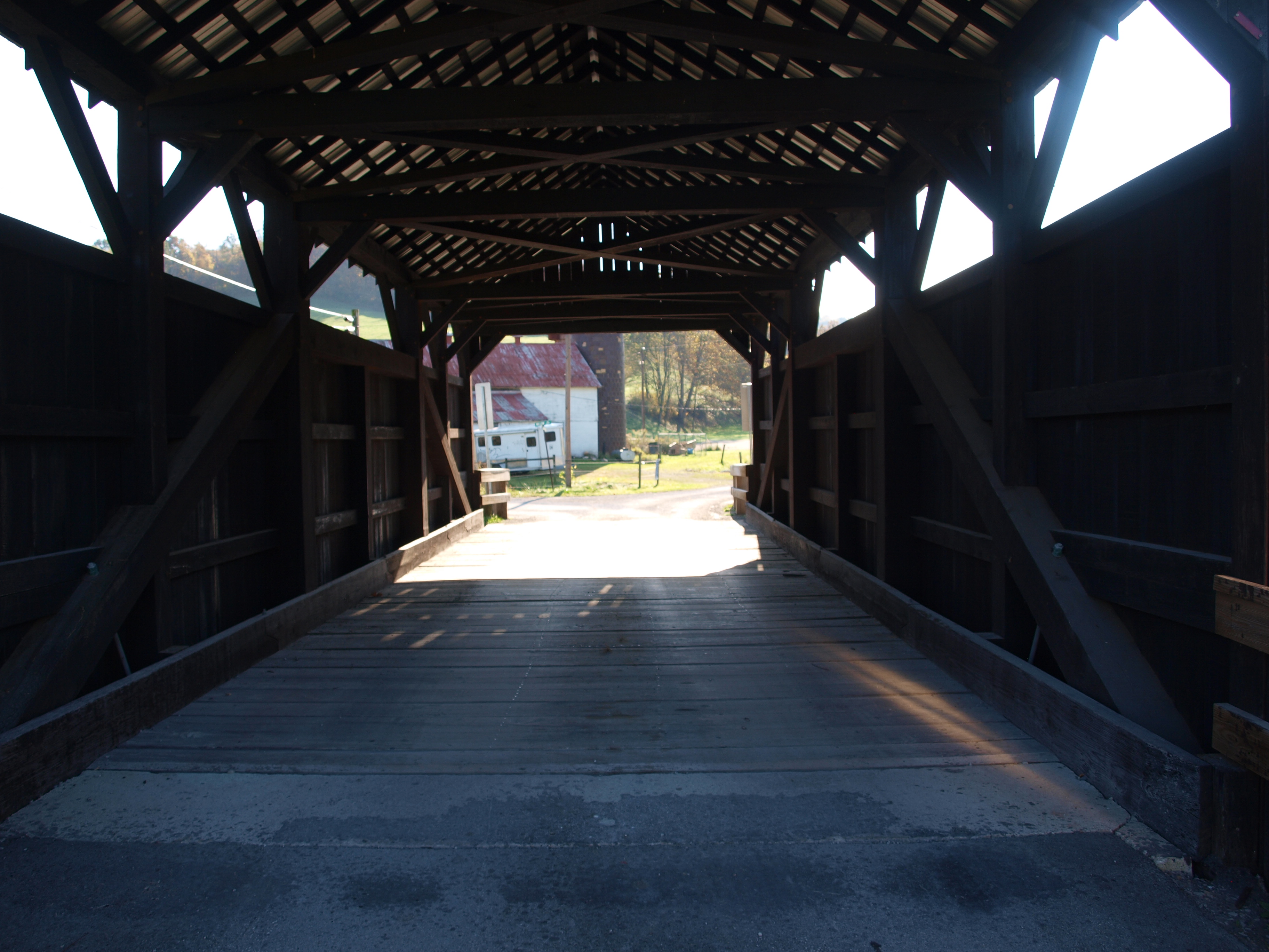
Shriver Covered Bridge, barrel view, Greene County, PA
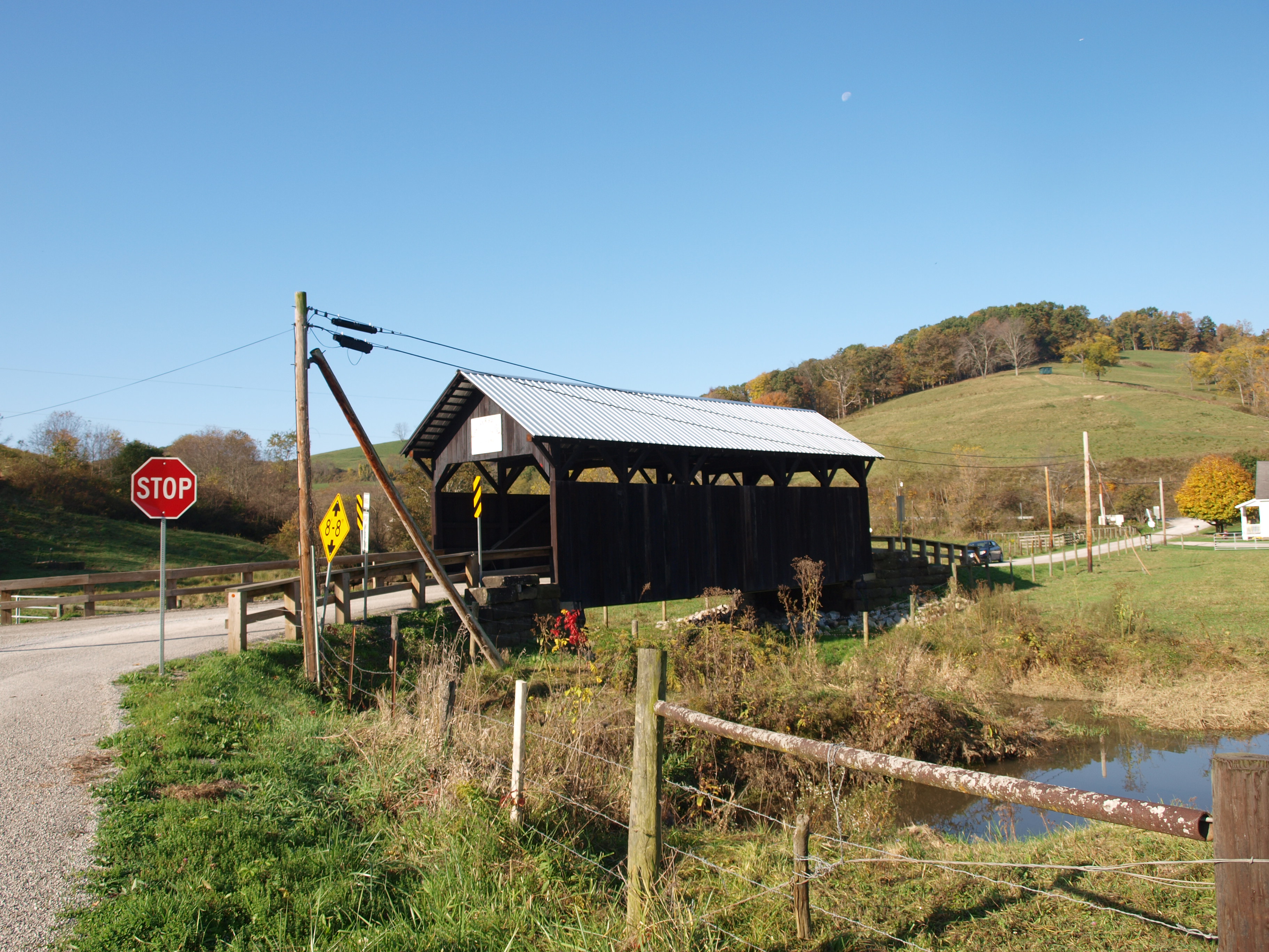
Shriver Covered Bridge, side view, Greene County, PA
Shriver Covered Bridge, truss view, Greene County, PA

Bailey Covered Bridge, cross creek view, Washington County, PA

Lippincott-Cox Farm Covered Bridge side view, Greene County, PA

Lippincott-Cox Farm Covered Bridge, barrel view, Greene County, PA

Darkness Falls

W.A. Young and Sons #11
Pennsylvania ~ Fredericktown

Pennsylvania ~ Carmichaels

Hughes Bridge 1889

Curves and Clouds
CNJ-RDG SD70ACe-1071, 1067 N/B N-24 at West Run Rd., Sycamore, PA

West Virginia Foliage
NS N06
Pursley Creek Image 1 10-21-2007 Photo

Song Sparrow
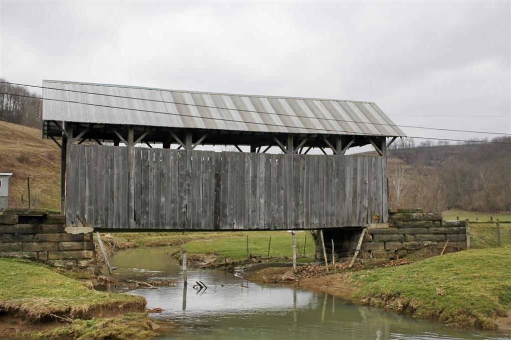
Shriver Covered Bridge
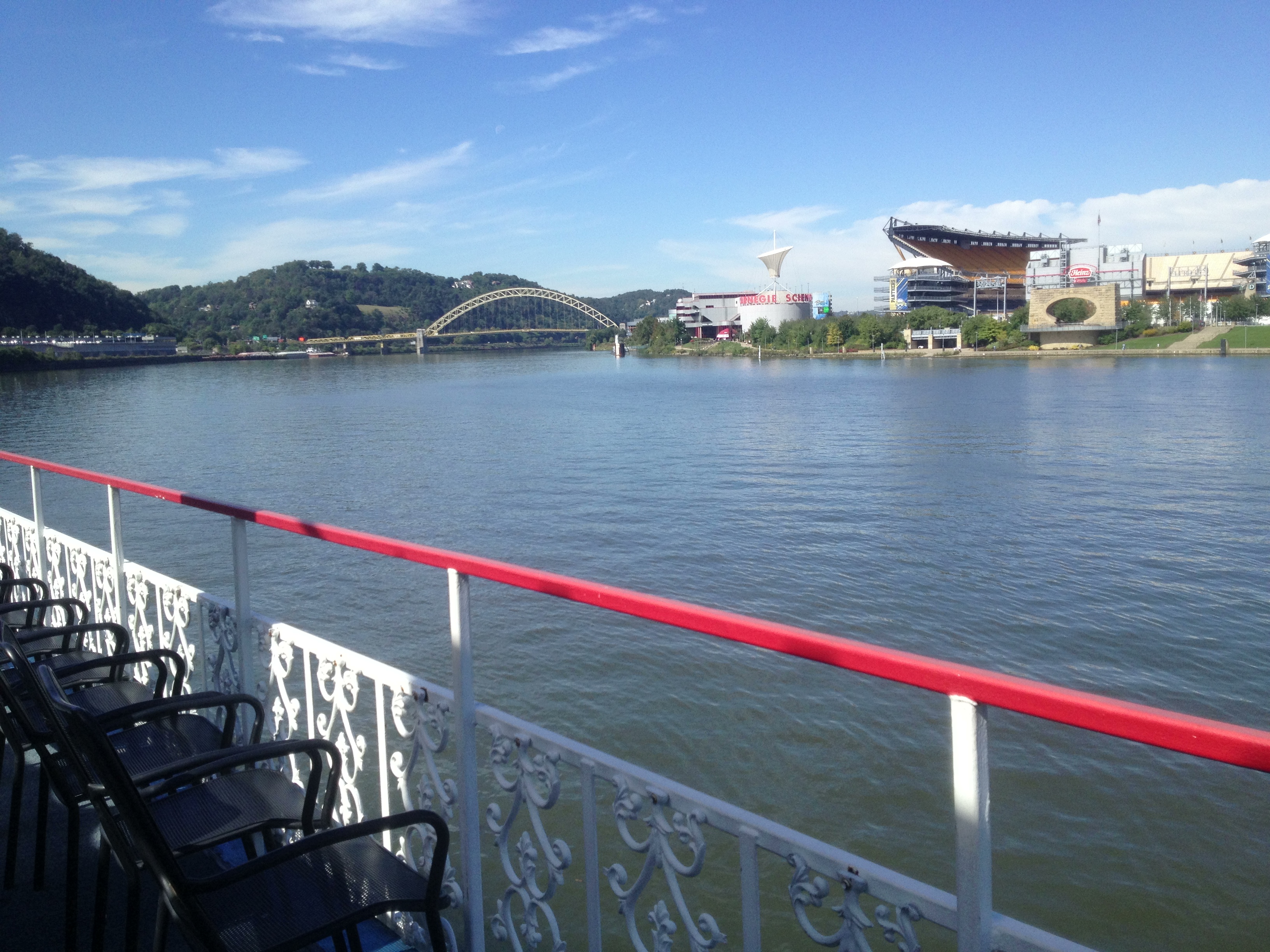
Pittsburgh from the Rivers

CSX- How Tomorrow MOOves
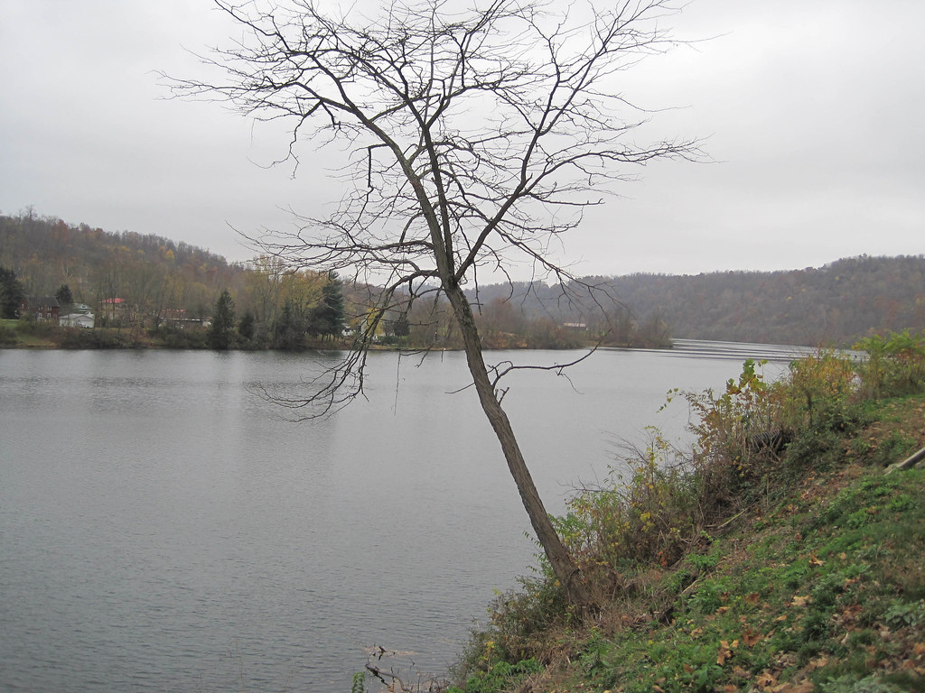
Tenmile Creek Park
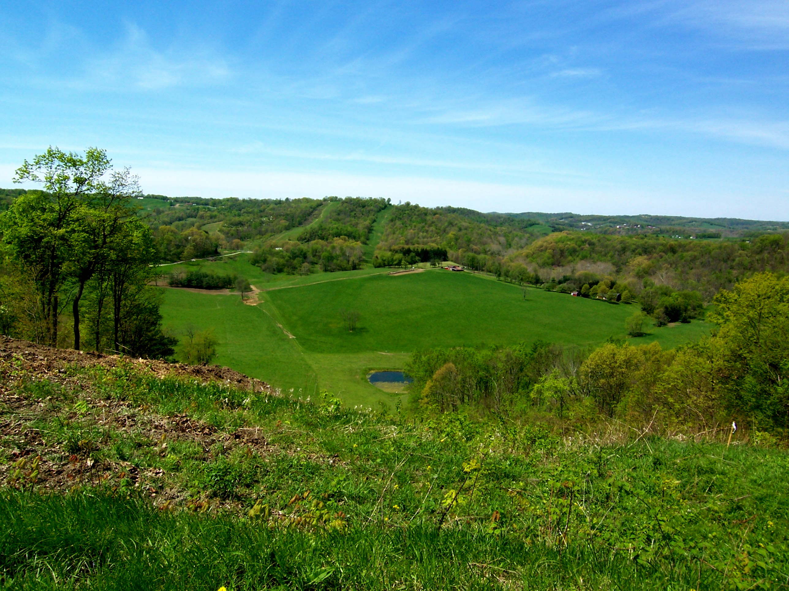
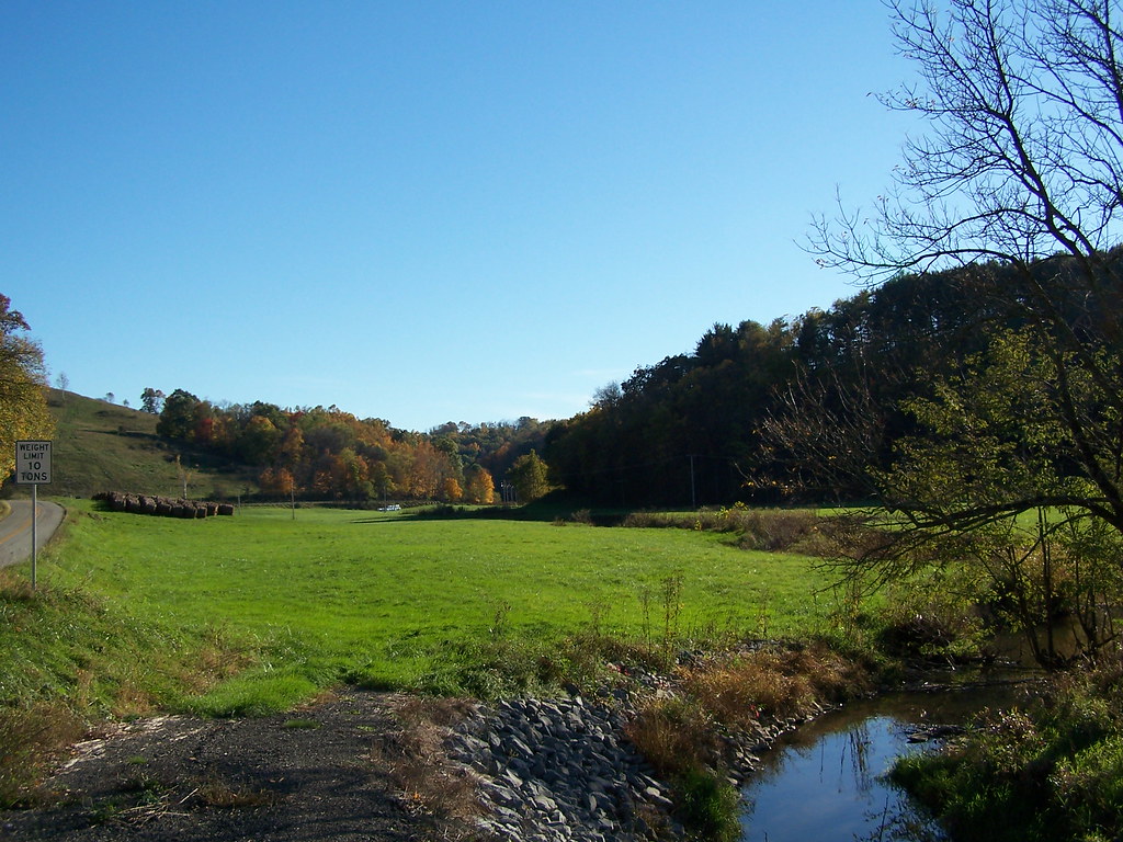
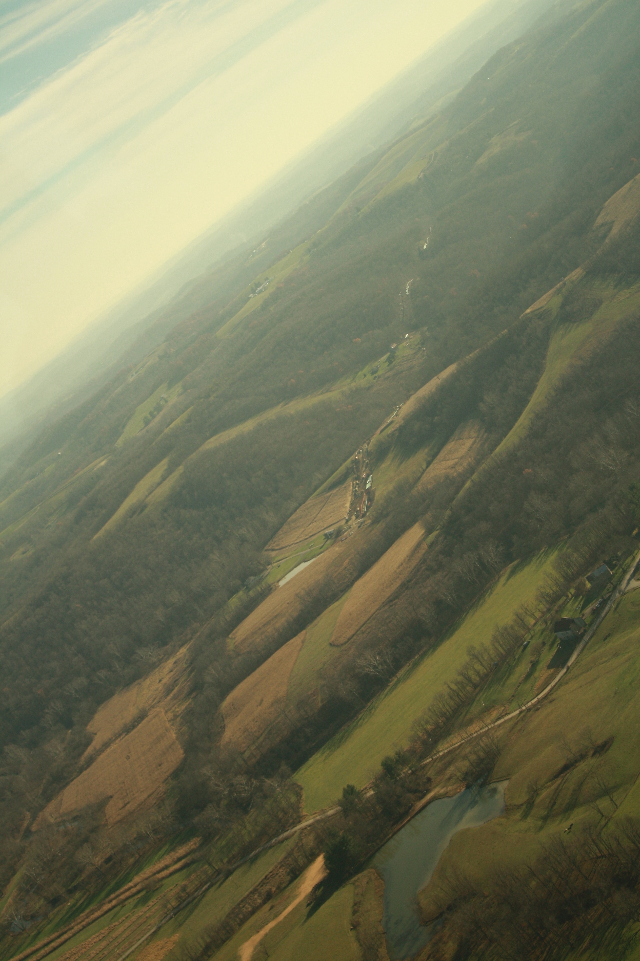
The Big Valley
'Big Bridge' at Mather Mine 5of6
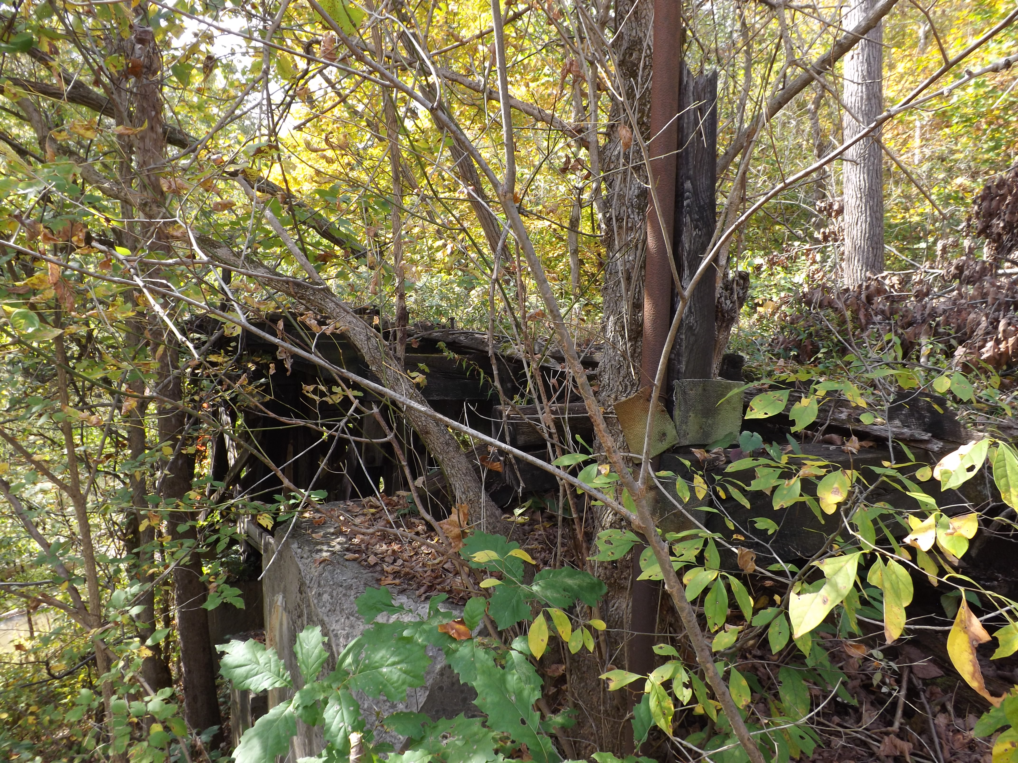
Woods behind church
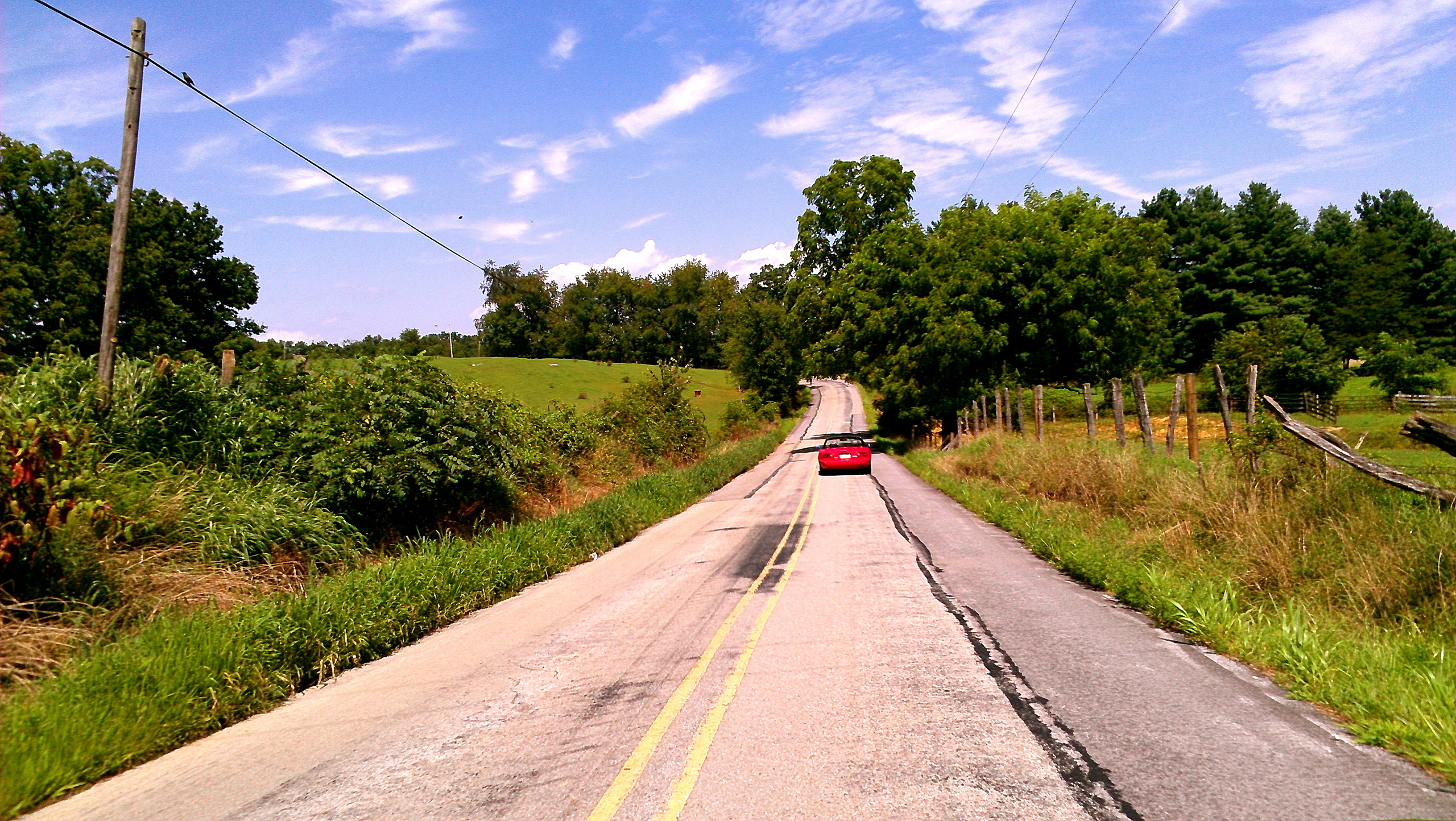
At the one lane bridge, he left the giants stranded on the other side......
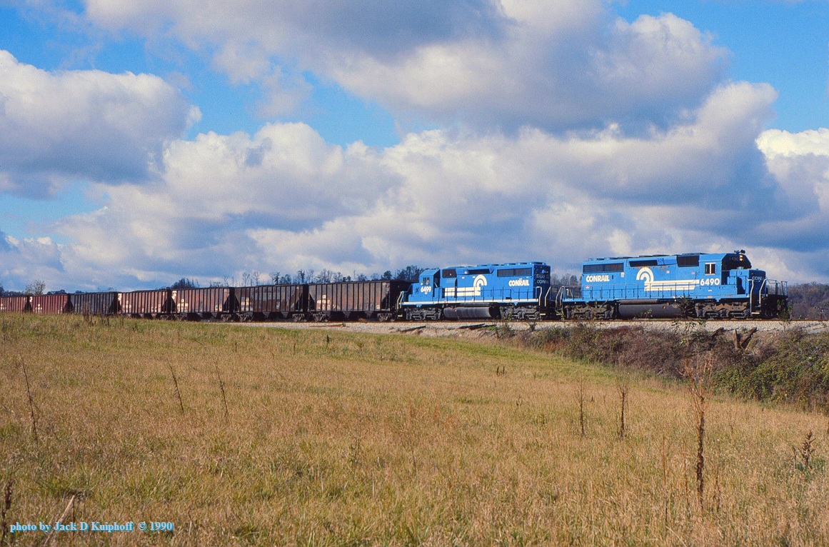
CR 6490-6499, MGA, Clarksville, PA. 10-28-1990

A field
New Pipeline
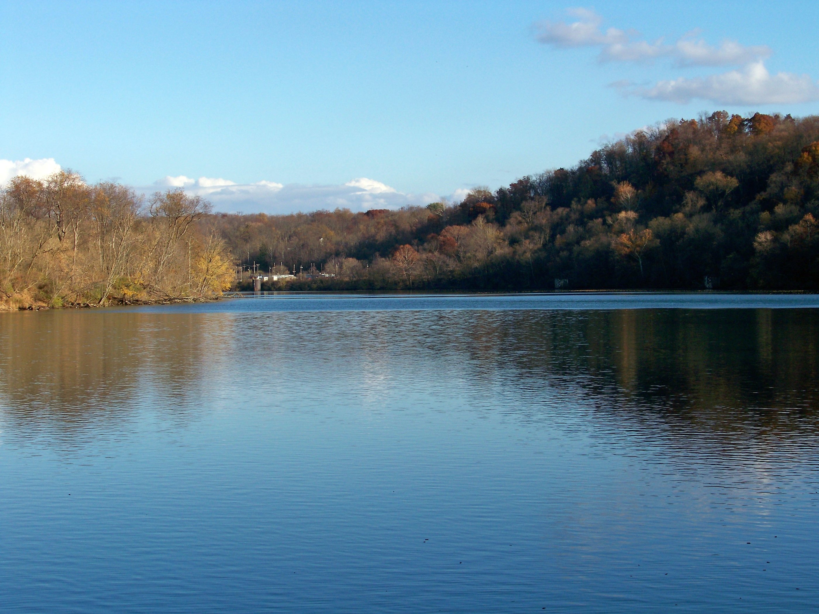
Monongahela River
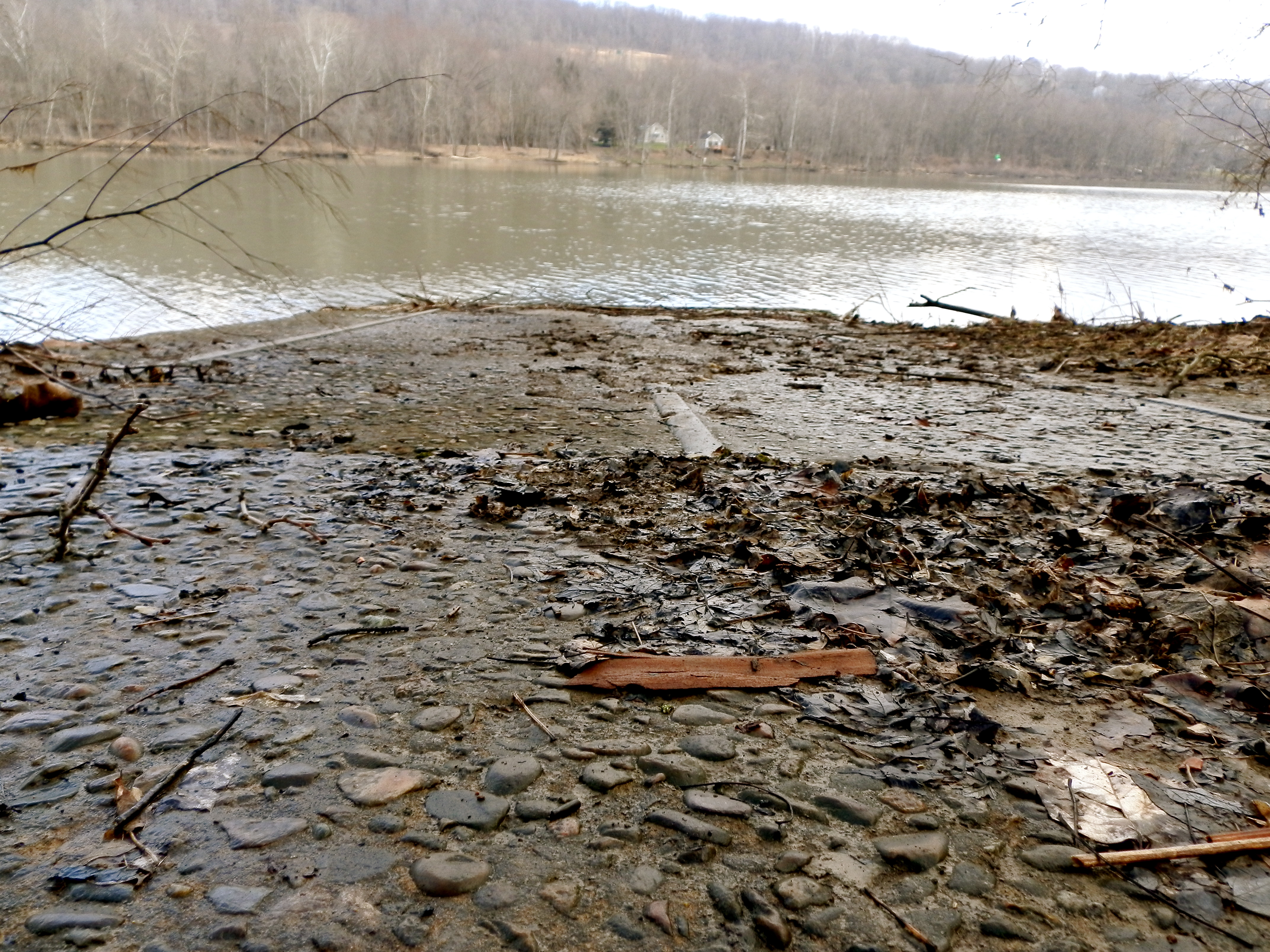
Crucible Ferry landing
Topographic Map of Braden Run Road, Braden Run Rd, Waynesburg, PA, USA
Find elevation by address:

Places near Braden Run Road, Braden Run Rd, Waynesburg, PA, USA:
Morgan Township
Castile Run Rd, Waynesburg, PA, USA
Jefferson, PA, USA
Jefferson
10 Mile Rd, Marianna, PA, USA
Marianna, PA, USA
Clarksville
Marianna
5-1
East Bethlehem Township
Rices Landing
Rices Landing
Rices Landing
Rices Landing
Rices Landing
Carmichaels St, Rices Landing, PA, USA
Monongahela River
Deemston
East Millsboro
Fredericktown
Recent Searches:
- Elevation of Kambingan Sa Pansol Atbp., Purok 7 Pansol, Candaba, Pampanga, Philippines
- Elevation of Pinewood Dr, New Bern, NC, USA
- Elevation of Mountain View, CA, USA
- Elevation of Foligno, Province of Perugia, Italy
- Elevation of Blauwestad, Netherlands
- Elevation of Bella Terra Blvd, Estero, FL, USA
- Elevation of Estates Loop, Priest River, ID, USA
- Elevation of Woodland Oak Pl, Thousand Oaks, CA, USA
- Elevation of Brownsdale Rd, Renfrew, PA, USA
- Elevation of Corcoran Ln, Suffolk, VA, USA