Elevation of Mansion Park Dr, Santa Clara, CA, USA
Location: United States > California > Santa Clara County > Santa Clara >
Longitude: -121.94446
Latitude: 37.3984836
Elevation: 6m / 20feet
Barometric Pressure: 101KPa
Elevation Map:
Satellite Map:
Related Photos:
Perfect view?
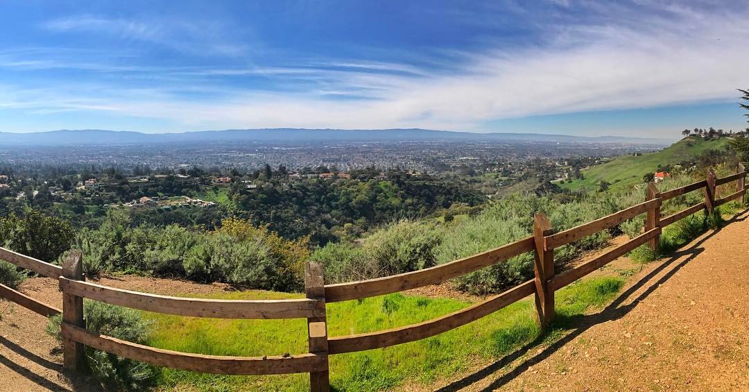
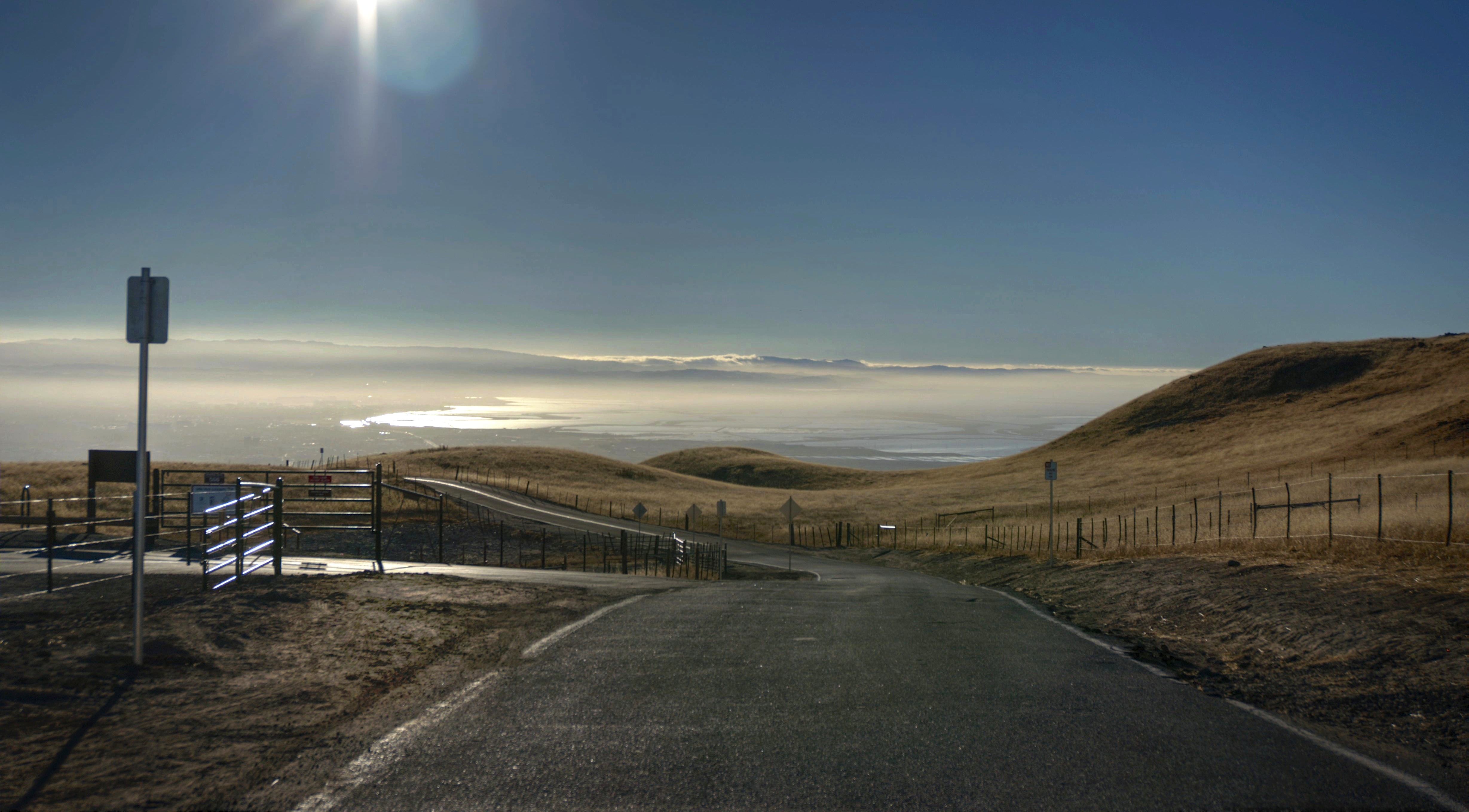
Panoramic View From A Perfect View Point...

IMG_1380 Let Me Feed You, Honey.

Reaching High
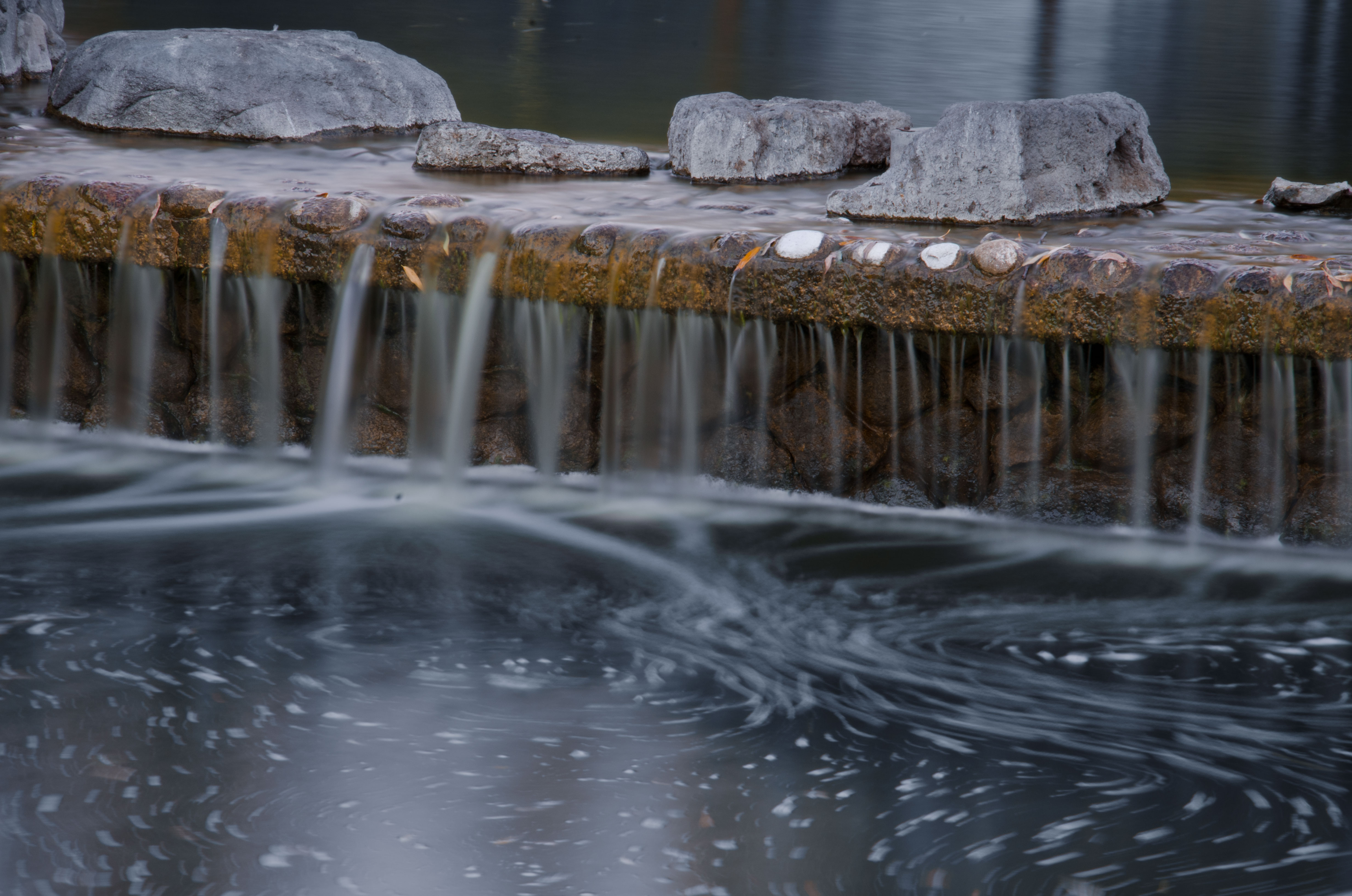
Morning Water
Fire breathing dragon

IMG_5922 Forster's Tern Hovering, Mountain View Shoreline Park, California

IMG_2314 Forster's Tern

IMG_0173 Here I Come! Mountain View Shoreline Park, CA
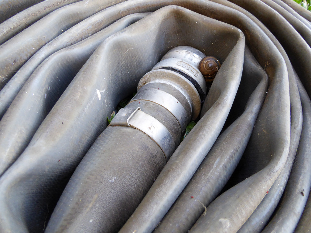
Snail In Hose

IMG_3580 Black-Crowned Night Heron

Mary Avenue Bridge
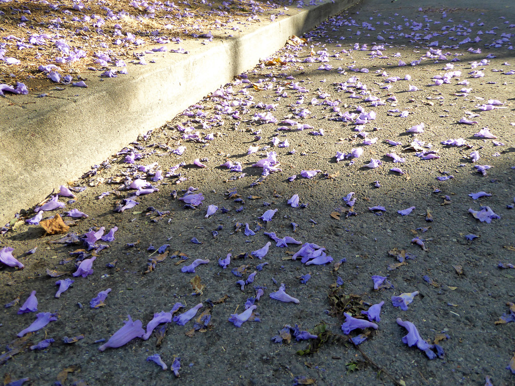
Jacaranda Litter

DSC01246.JPG
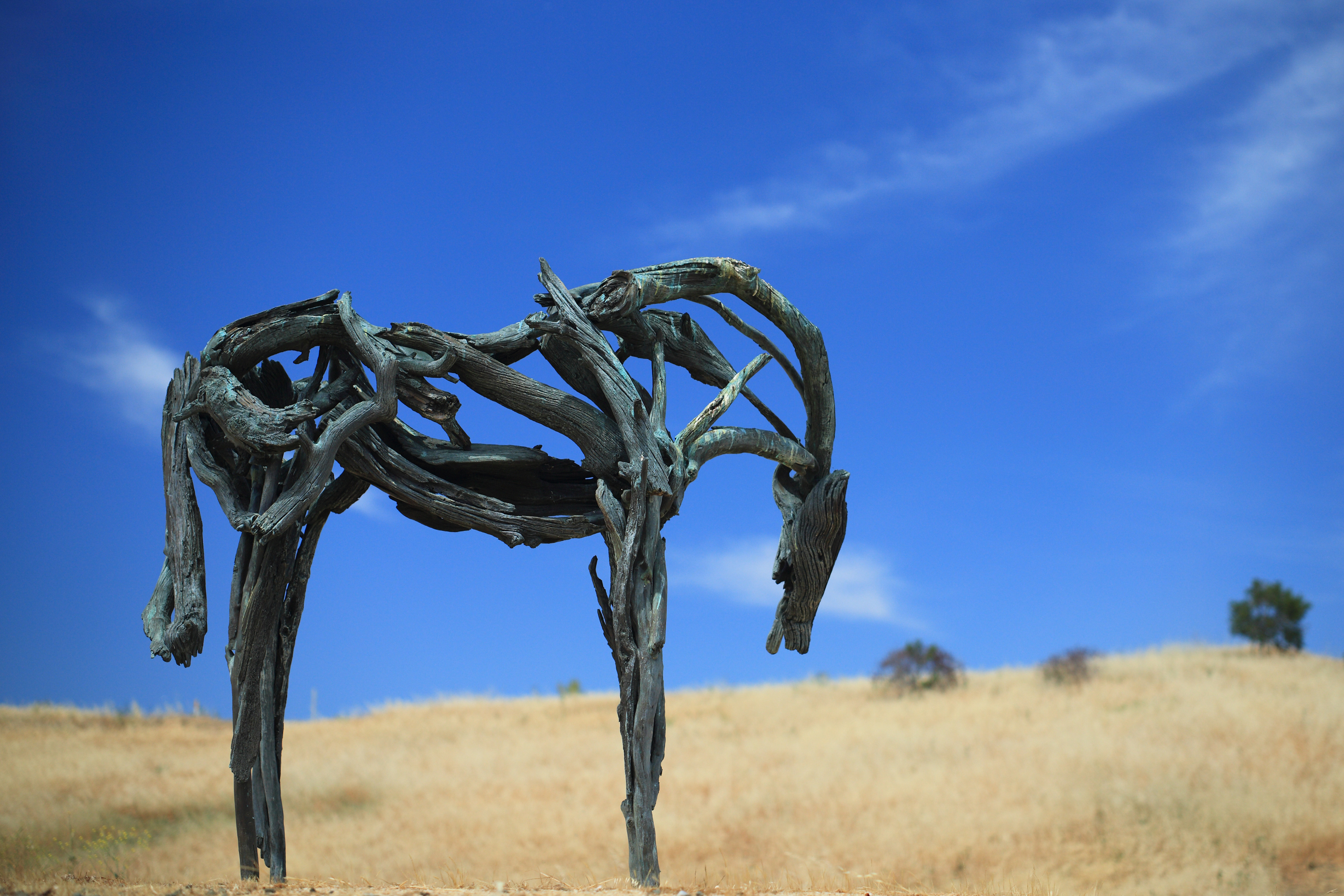
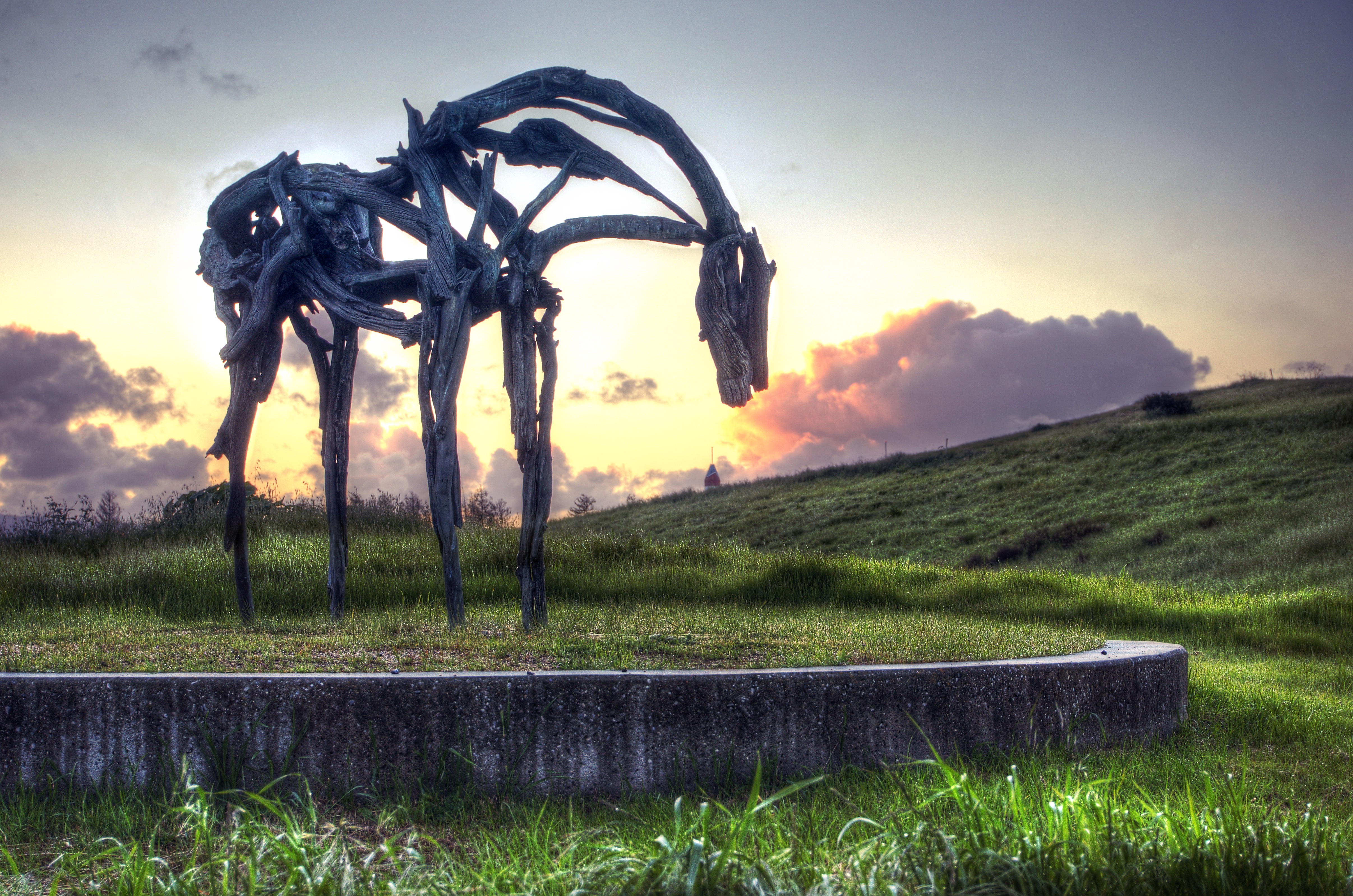
Bronze Horse by Deborah Butterfield

Color On Weathered Grey
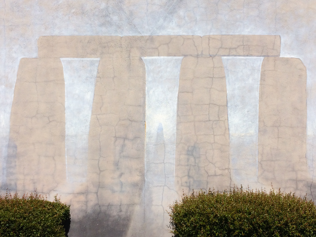
Stonehenge In Mountain View
Plastic Lifesaver
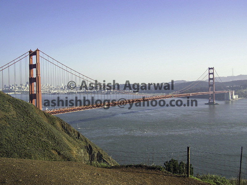
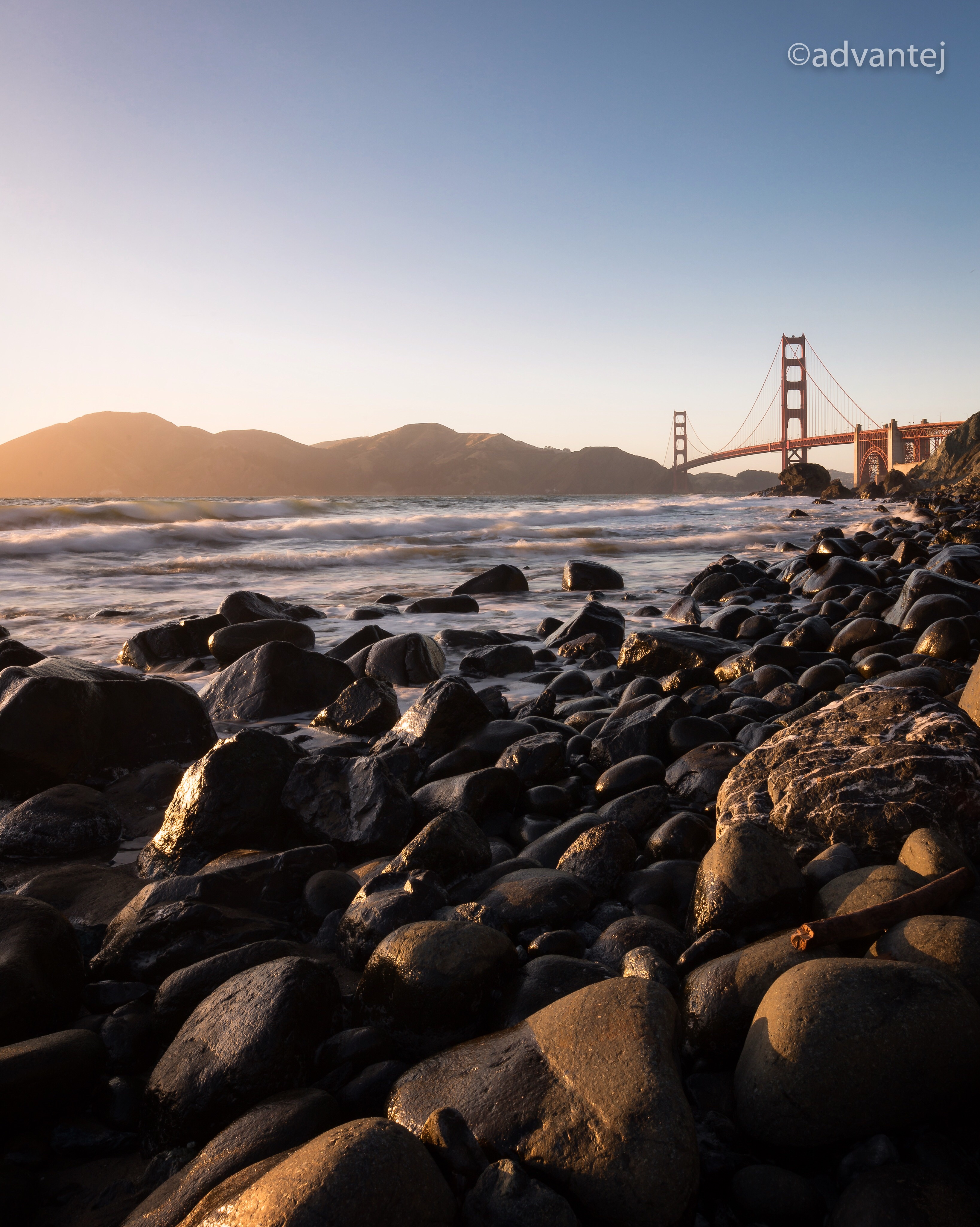
View of the Golden Gate Bridge and San Francisco from a distance
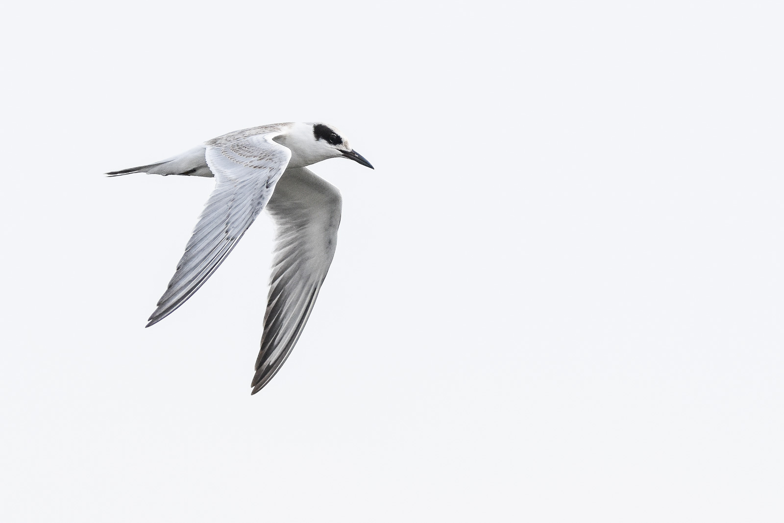
Forster's Tern (1st year)

Proficient dive bomber - Forster's Tern

Door of opportunities :)

Orange Sunset at Zabriskie

Stop. Look. Enjoy.
Finally a nice weather in weekend

Great Long, Slow Day on the LG Creek Trail. The #408 has the best weather in the Bay Area #TeamRunTheBay #RunLocal #GetOnnit #nikeplus

Calaveras Road

~~Garden of PEACE #2~~

My Favorite Tree
Back to the future
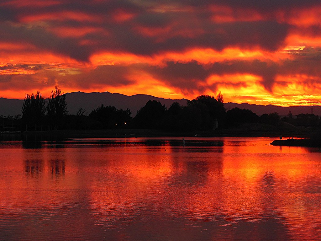
~ The SKY Is On FIRE #1 ~

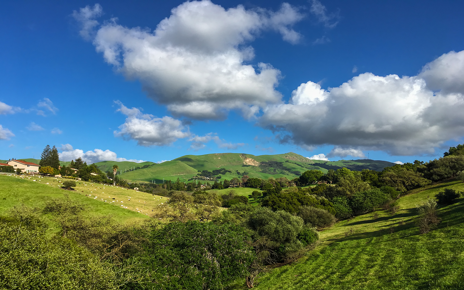
Green Pastors
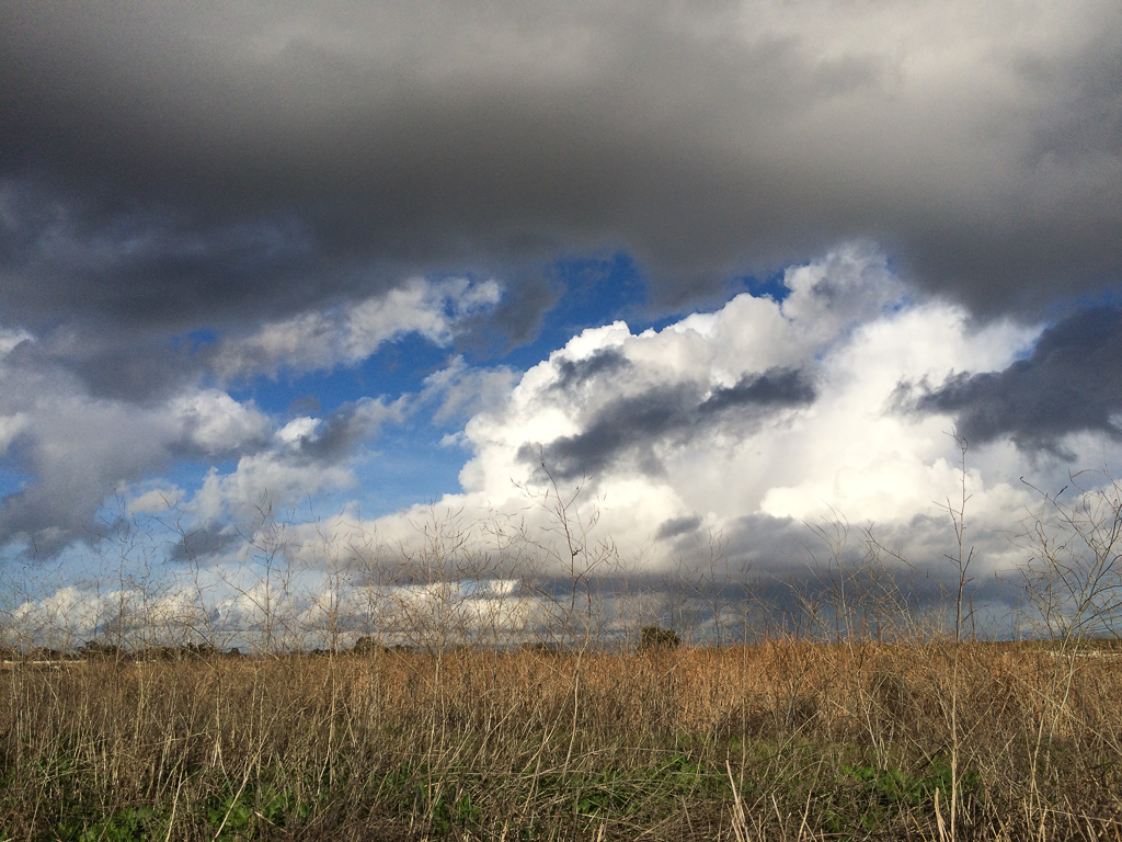
Scattered Showers
Central Park
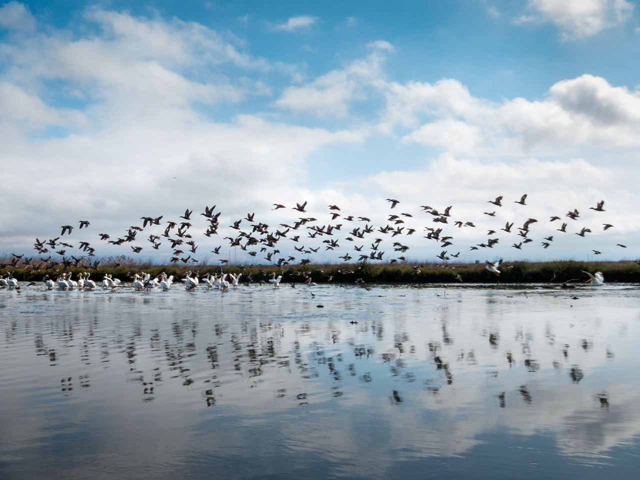
In which the ducks decide to move on while the pelicans stay put
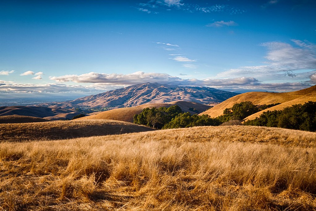
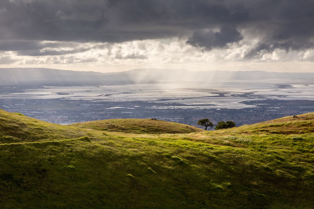
Clouds Over Mission Peak
Palo Alto Baylands

Shade and reflections

Another fence #california
iPhone 5se test
Calaveras Hills
Topographic Map of Mansion Park Dr, Santa Clara, CA, USA
Find elevation by address:

Places near Mansion Park Dr, Santa Clara, CA, USA:
4048 Lick Mill Blvd
3095 Marston Ln
Marston Lane
521 Bellwood Dr
3103 N 1st St
444 Greenwood Dr
3724 Edgefield Dr
440 Greenwood Dr
436 Greenwood Dr
432 Greenwood Dr
3691 Eastwood Cir
39 Rio Robles E
420 Greenwood Dr
421 Brasswood Ct
130 Descanso Dr
4644 Mangrum Dr
80 Rose Orchard Way
4878 Avenida De Los Arboles
Spindrift Dr, San Jose, CA, USA
North San Jose
Recent Searches:
- Elevation of Orangevale, CA, USA
- Elevation of Doe Cir, Clinton, OH, USA
- Elevation of Narhe, Pune, Maharashtra, India
- Elevation of Martins Mill Ct, Eagle Rock, NC, USA
- Elevation of Kippen, Stirling FK8, UK
- Elevation of Sieveringer Straße, Sieveringer Str., Wien, Austria
- Elevation of Bratskaya Ulitsa, 24, Kurgan, Kurganskaya oblast', Russia
- Elevation of Paradisvegen, Biri, Norway
- Elevation of Crystal Cir, Birmingham, AL, USA
- Elevation of N Railroad Ave, West Palm Beach, FL, USA