Elevation of Marston Ln, Santa Clara, CA, USA
Location: United States > California > Santa Clara County > Santa Clara >
Longitude: -121.94827
Latitude: 37.3969446
Elevation: 5m / 16feet
Barometric Pressure: 101KPa
Elevation Map:
Satellite Map:
Related Photos:
A Walk to Rengstorff House (circa 1867) (HFF)

IMG_1868 Forster's Tern, Mountain View Shoreline Park, CA

Geese (HSS)
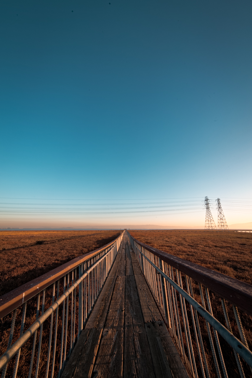
Vanishing Point
MTV Fire Station 5
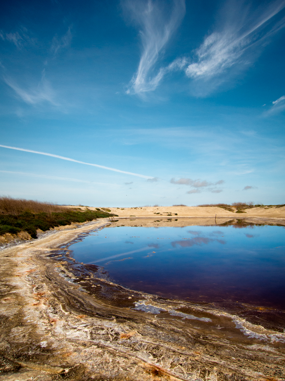
Cracked Earth

Golden View

IMG_4504 Forster's Tern, Mountain View Shoreline Park, CA

IMG_6389 Great Egret
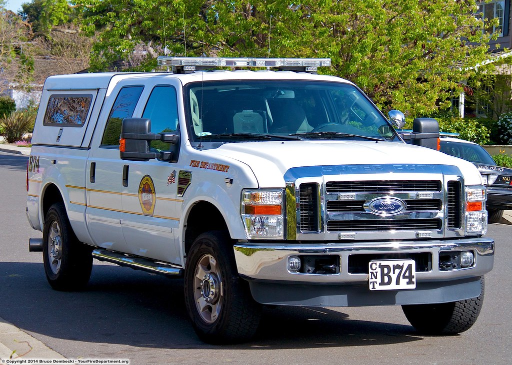
CNT Battalion 74
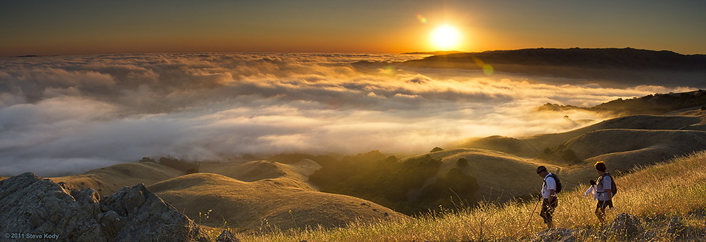
Dawn Hikers - Mission Peak
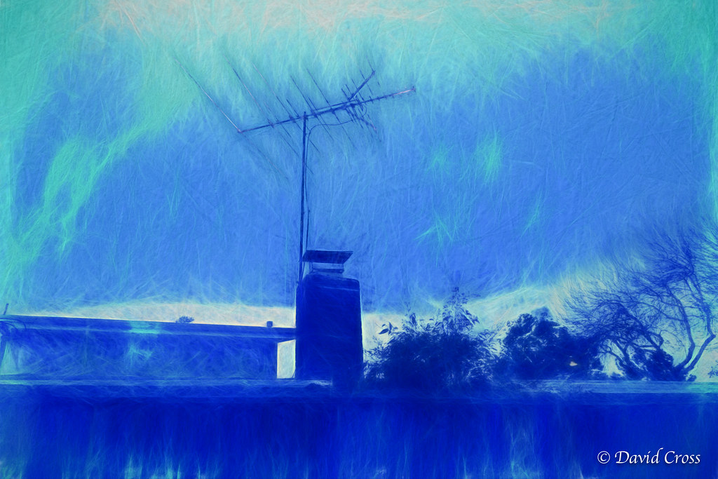
The Blue Burbs (HSS)
Naked in the early morning
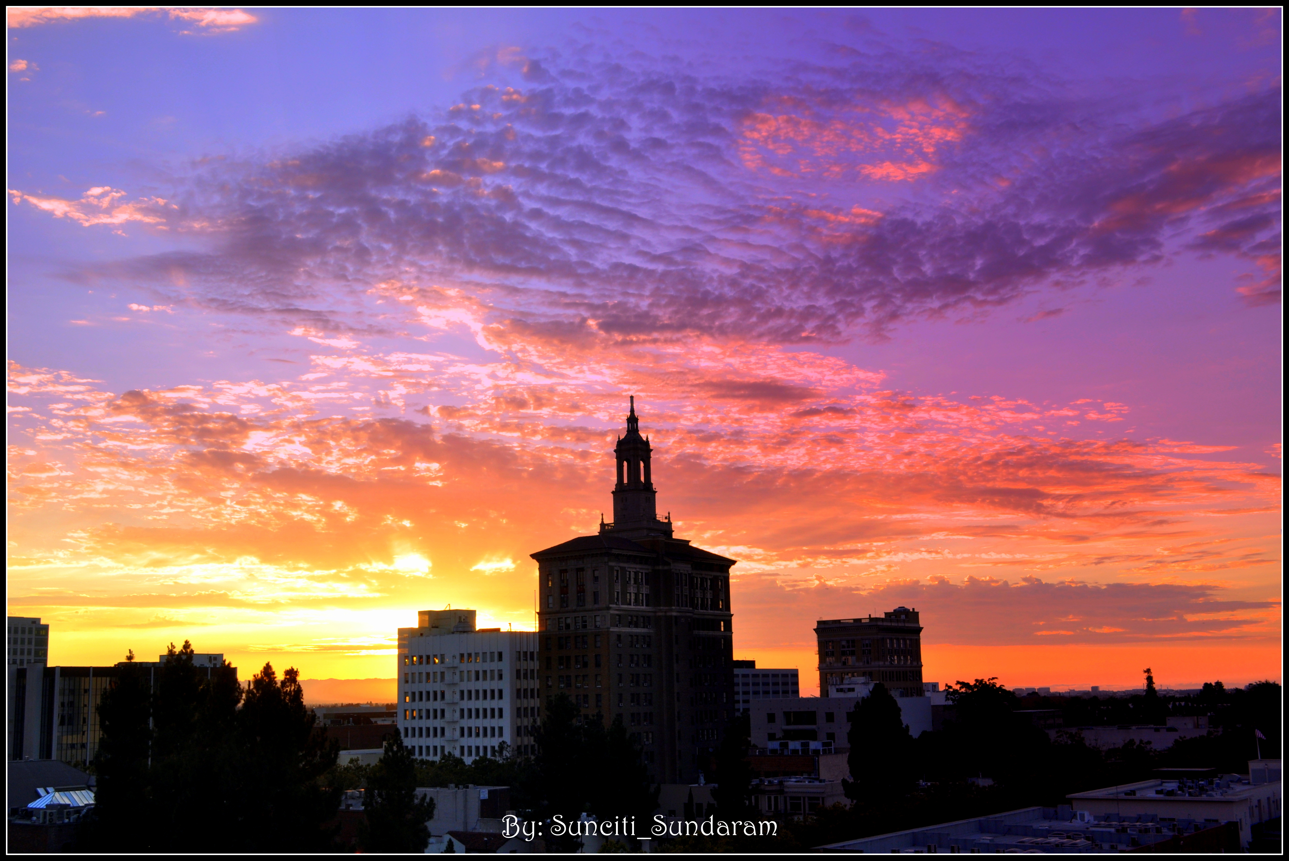
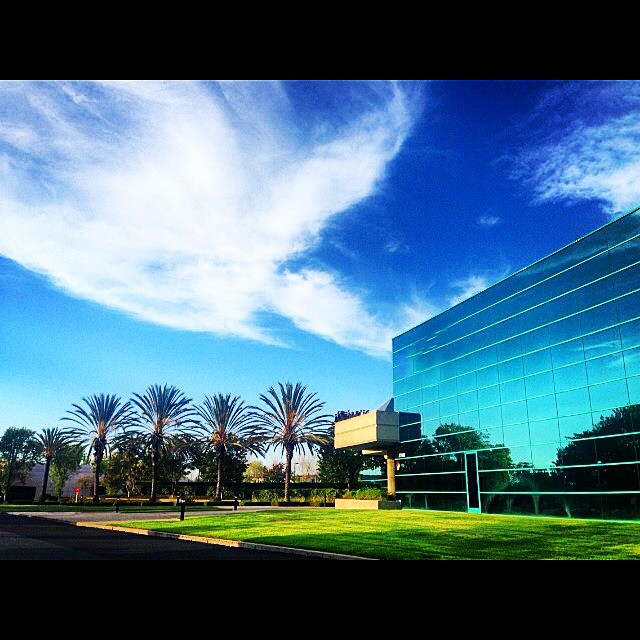
Tower And Vivid Skyscape,,,,,,A Window View From Down Town, San Jose.
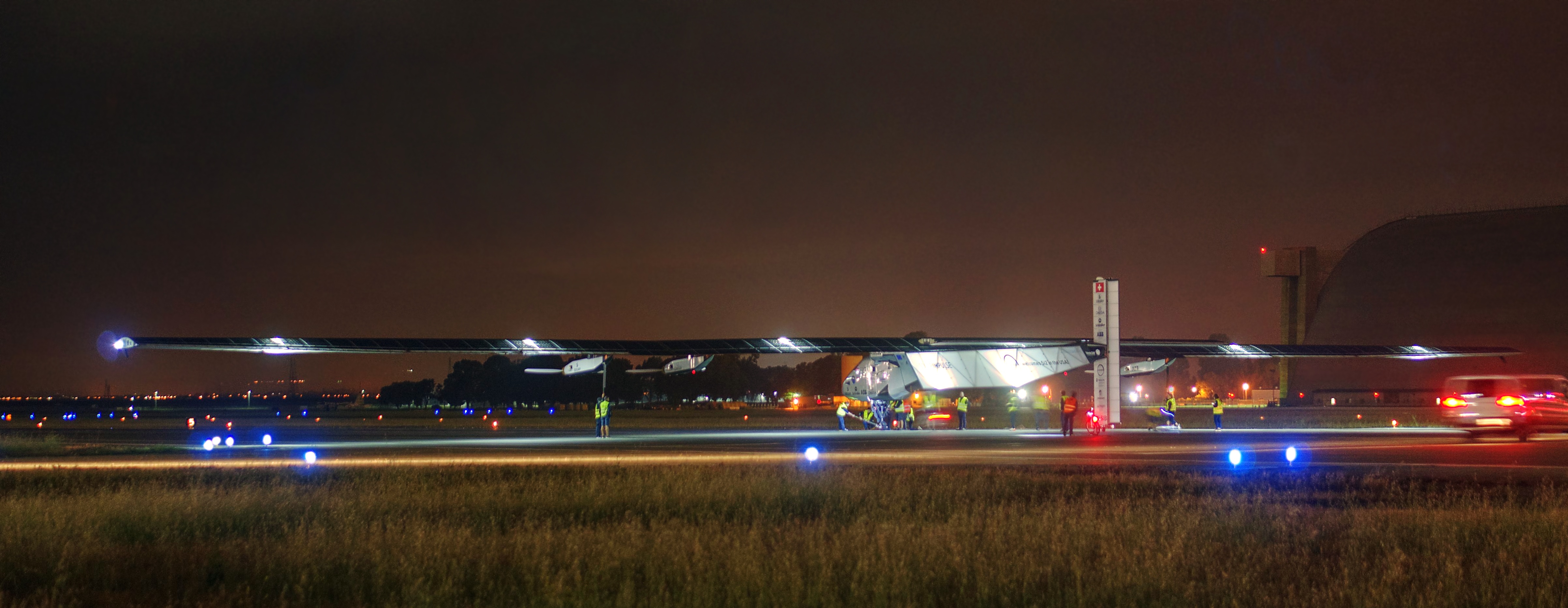
Solar Impulse taking off at Moffett Field for a historic flight around the world

Luna-tic
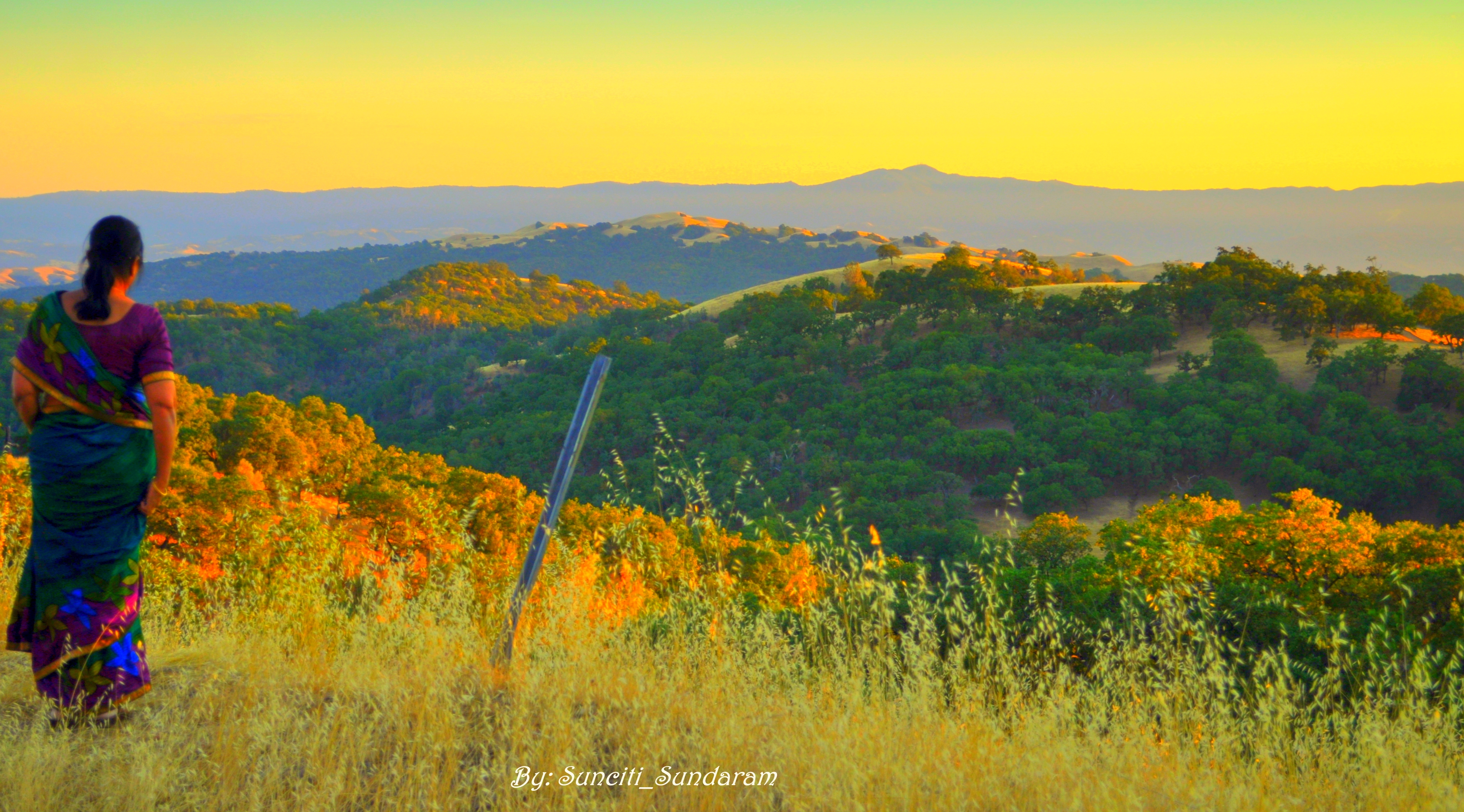
Panoramic View From A Perfect View Point...

IMG_1380 Let Me Feed You, Honey.

IMG_5922 Forster's Tern Hovering, Mountain View Shoreline Park, California

Mary Avenue Bridge

DSC01246.JPG

Stop. Look. Enjoy.

Calaveras Road

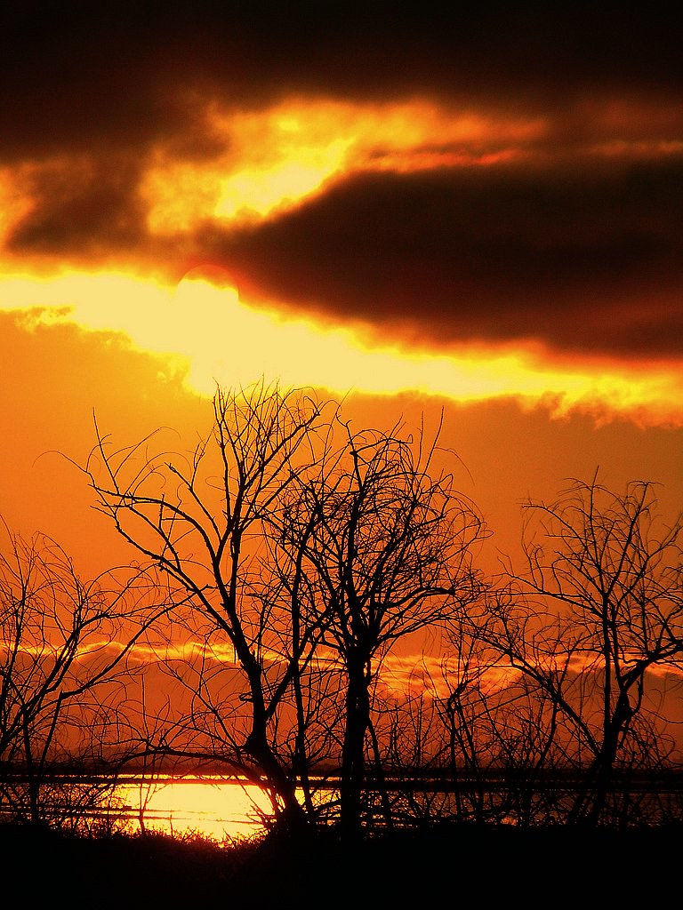
My Favorite Tree
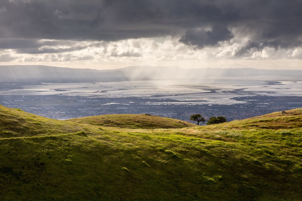
Scattered Showers

Shade and reflections

There is something about nature that makes me feel happy.

Easy way down

Alviso Blue Hour
Mind the Gaps

iPhoneography #84
Disappearing Act
~~Alviso Twilight #2~~
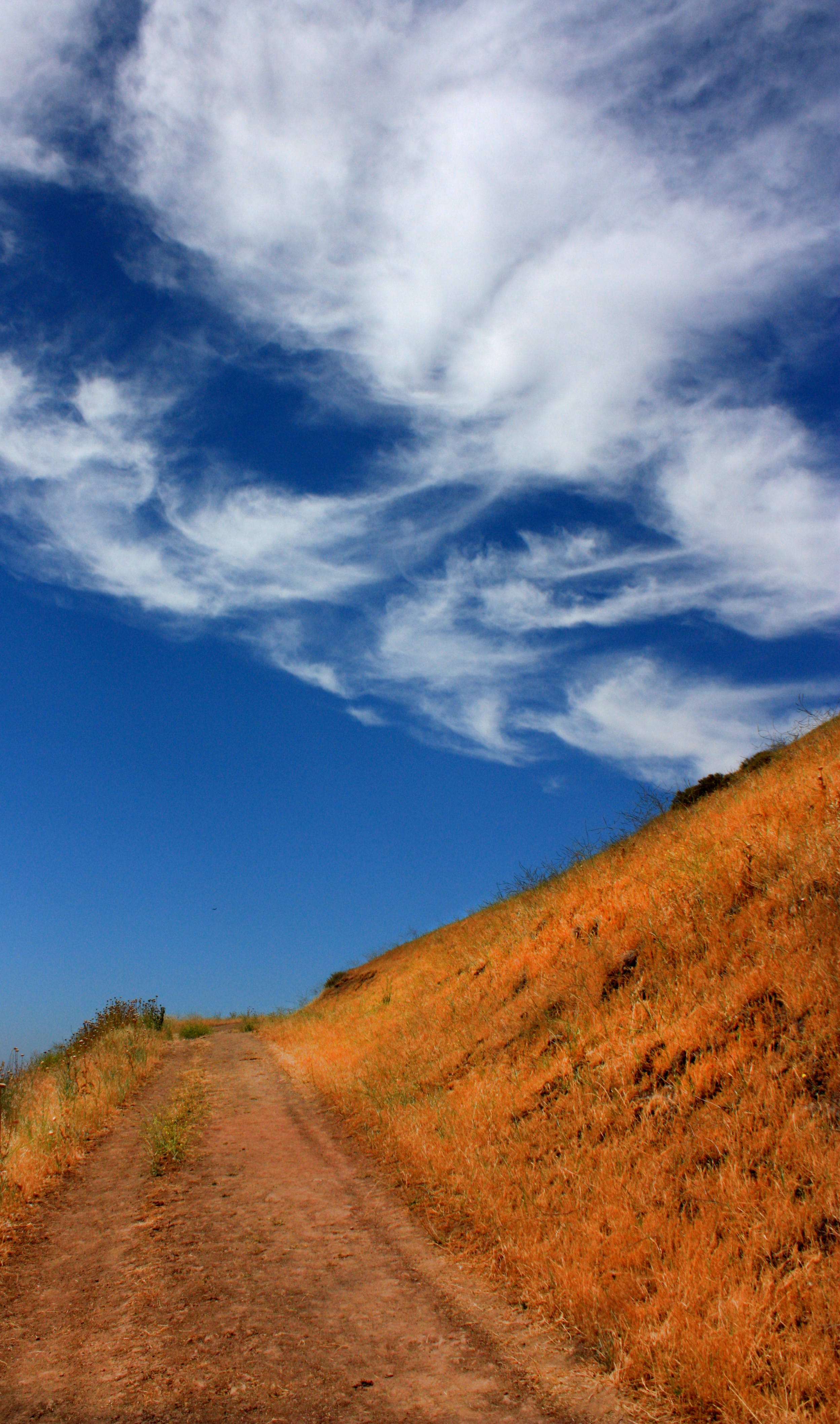
The Road

Door of opportunities :)

Green Pastors
Good weather! #Fremont #sanfrancisco #Cloud #California #usa #trip #travel
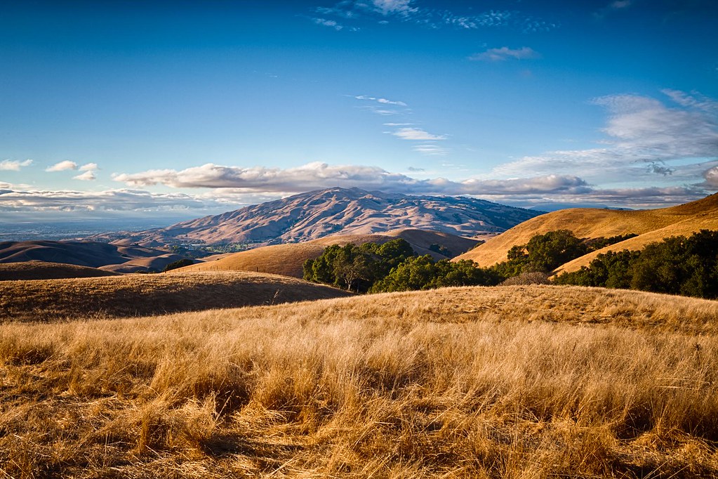
Clouds Over Mission Peak
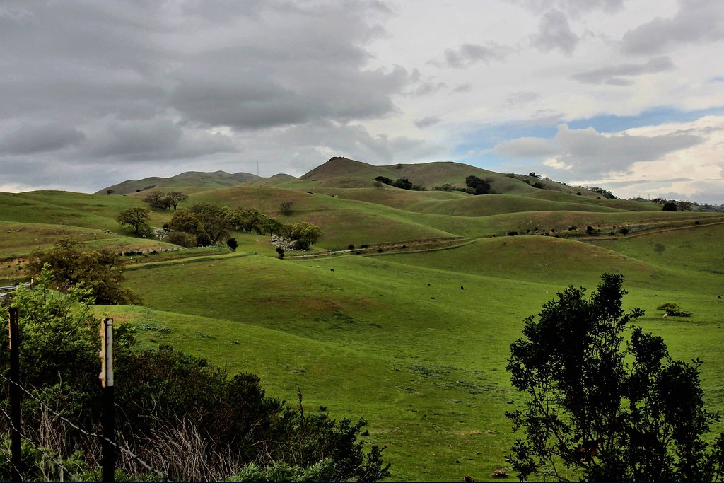
Calaveras Hills
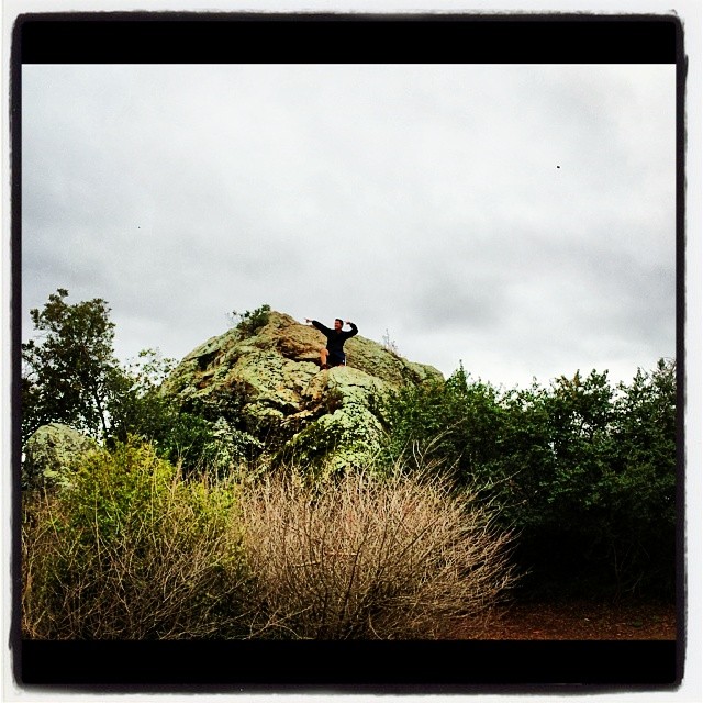
Spotted Hercules on my mud run at Alum Rock. #ToTheTop
Topographic Map of Marston Ln, Santa Clara, CA, USA
Find elevation by address:

Places near Marston Ln, Santa Clara, CA, USA:
Numotion
Intel Museum
Amd Inc.
1150 Walsh Ave
3050 Bowers Ave
2120 Valencia Pl
Rearend Specialties
2434 Fairview Ln
Lin Zhi International Inc
Scott Boulevard
3105 Kifer Rd
2044 Sheraton Dr
Santa Clara, CA, USA
2143 Warburton Ave
2688 Elliot St
Santa Clara
Roll Street
1816 Los Padres Blvd
Deccan Plateau
2326 Warburton Ave
Recent Searches:
- Elevation of Elwyn Dr, Roanoke Rapids, NC, USA
- Elevation of Congressional Dr, Stevensville, MD, USA
- Elevation of Bellview Rd, McLean, VA, USA
- Elevation of Stage Island Rd, Chatham, MA, USA
- Elevation of Shibuya Scramble Crossing, 21 Udagawacho, Shibuya City, Tokyo -, Japan
- Elevation of Jadagoniai, Kaunas District Municipality, Lithuania
- Elevation of Pagonija rock, Kranto 7-oji g. 8"N, Kaunas, Lithuania
- Elevation of Co Rd 87, Jamestown, CO, USA
- Elevation of Tenjo, Cundinamarca, Colombia
- Elevation of Côte-des-Neiges, Montreal, QC H4A 3J6, Canada