Elevation of Santa Clara, CA, USA
Location: United States > California > Santa Clara County > Santa Clara >
Longitude: -121.95299
Latitude: 37.3539663
Elevation: 21m / 69feet
Barometric Pressure: 101KPa
Elevation Map:
Satellite Map:
Related Photos:

IMG_1380 Let Me Feed You, Honey.

teeny tiny

IMG_5922 Forster's Tern Hovering, Mountain View Shoreline Park, California

Mary Avenue Bridge

DSC01246.JPG

Bicycle Seat
A Walk to Rengstorff House (circa 1867) (HFF)
Bronze Horse by Deborah Butterfield

IMG_1868 Forster's Tern, Mountain View Shoreline Park, CA

IMG_2314 Forster's Tern

Early Morning Spotlight

Geese (HSS)

Alviso Blue Hour
MTV Fire Station 5
Cracked Earth

IMG_0173 Here I Come! Mountain View Shoreline Park, CA
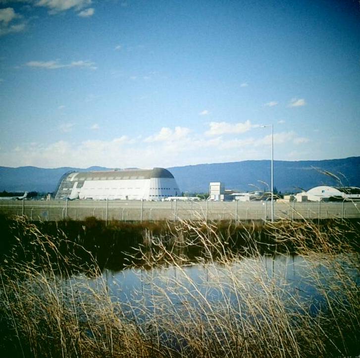
Hanger One

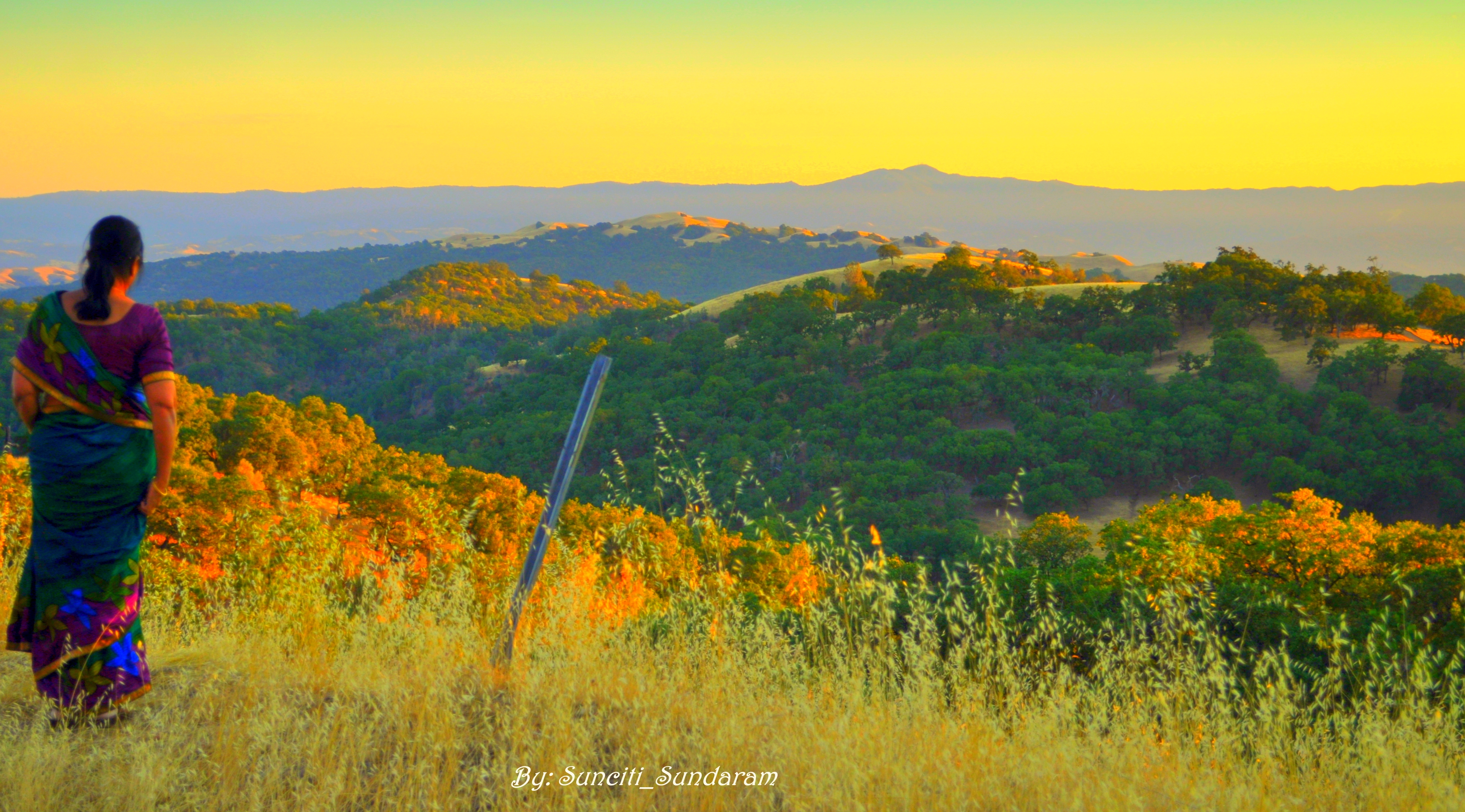
Golden View
DSC01222.JPG

Windows on the mountainside - Happy Window Wednesday

IMG_4504 Forster's Tern, Mountain View Shoreline Park, CA

Door of opportunities :)
Panoramic View From A Perfect View Point...

Calaveras Road
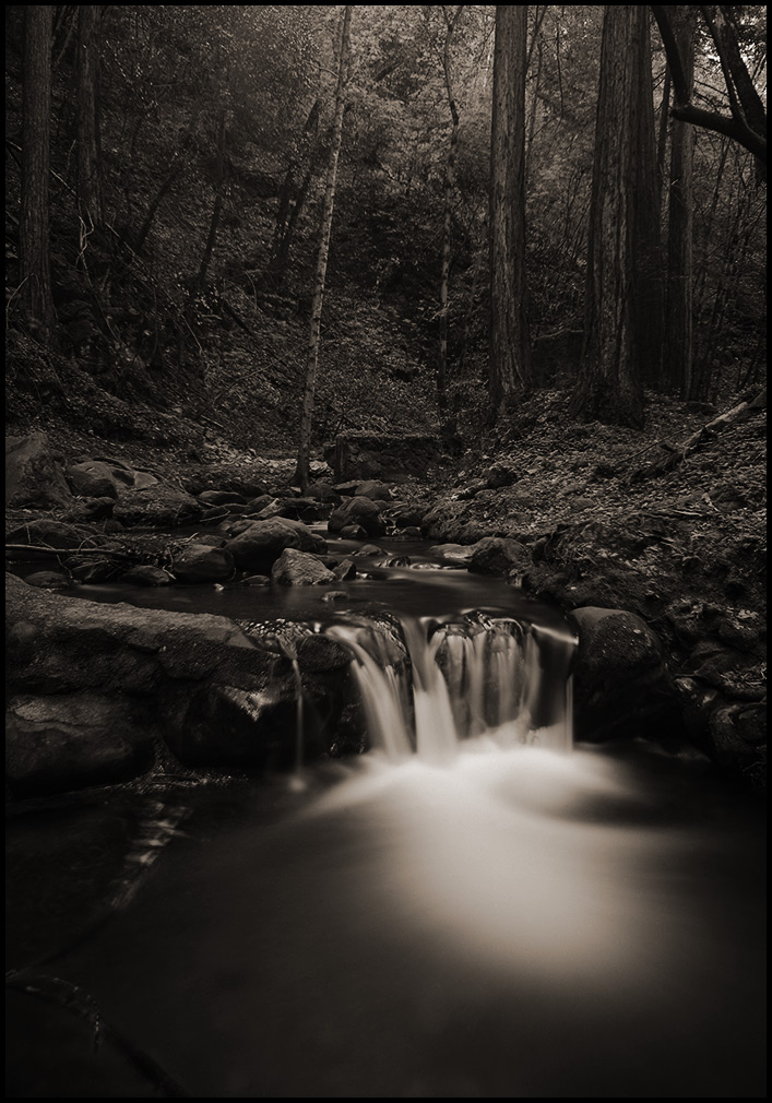
morning light in Saratoga Creek

Green Pastors
Good weather! #Fremont #sanfrancisco #Cloud #California #usa #trip #travel
Scattered Showers
Central Park
Calaveras Hills

Shade and reflections

There is something about nature that makes me feel happy.

~~Garden of PEACE #2~~

Grass Abstract
SF Bay
Geese at sunset
Happy Telegraph Tuesday

~~Alviso Twilight #2~~
Morning Run by Bay Trail.

Vasona Lake HDR - Happy Sliders Sunday
Topographic Map of Santa Clara, CA, USA
Find elevation by address:

Places near Santa Clara, CA, USA:
Santa Clara
Rearend Specialties
Scott Boulevard
2143 Warburton Ave
Roll Street
2120 Valencia Pl
1816 Los Padres Blvd
2326 Warburton Ave
1150 Walsh Ave
2044 Sheraton Dr
2434 Fairview Ln
2688 Elliot St
2889 Barkley Ave
1740 Jeffery Ct
2961 Mark Ave
Numotion
Amd Inc.
Lin Zhi International Inc
3050 Bowers Ave
3139 Agate Dr
Recent Searches:
- Elevation of Côte-des-Neiges, Montreal, QC H4A 3J6, Canada
- Elevation of Bobcat Dr, Helena, MT, USA
- Elevation of Zu den Ihlowbergen, Althüttendorf, Germany
- Elevation of Badaber, Peshawar, Khyber Pakhtunkhwa, Pakistan
- Elevation of SE Heron Loop, Lincoln City, OR, USA
- Elevation of Slanický ostrov, 01 Námestovo, Slovakia
- Elevation of Spaceport America, Co Rd A, Truth or Consequences, NM, USA
- Elevation of Warwick, RI, USA
- Elevation of Fern Rd, Whitmore, CA, USA
- Elevation of 62 Abbey St, Marshfield, MA, USA