Elevation map of Manche, France
Location: France > Normandy >
Longitude: -1.3115949
Latitude: 49.114712
Elevation: 85m / 279feet
Barometric Pressure: 100KPa
Elevation Map:
Satellite Map:
Related Photos:

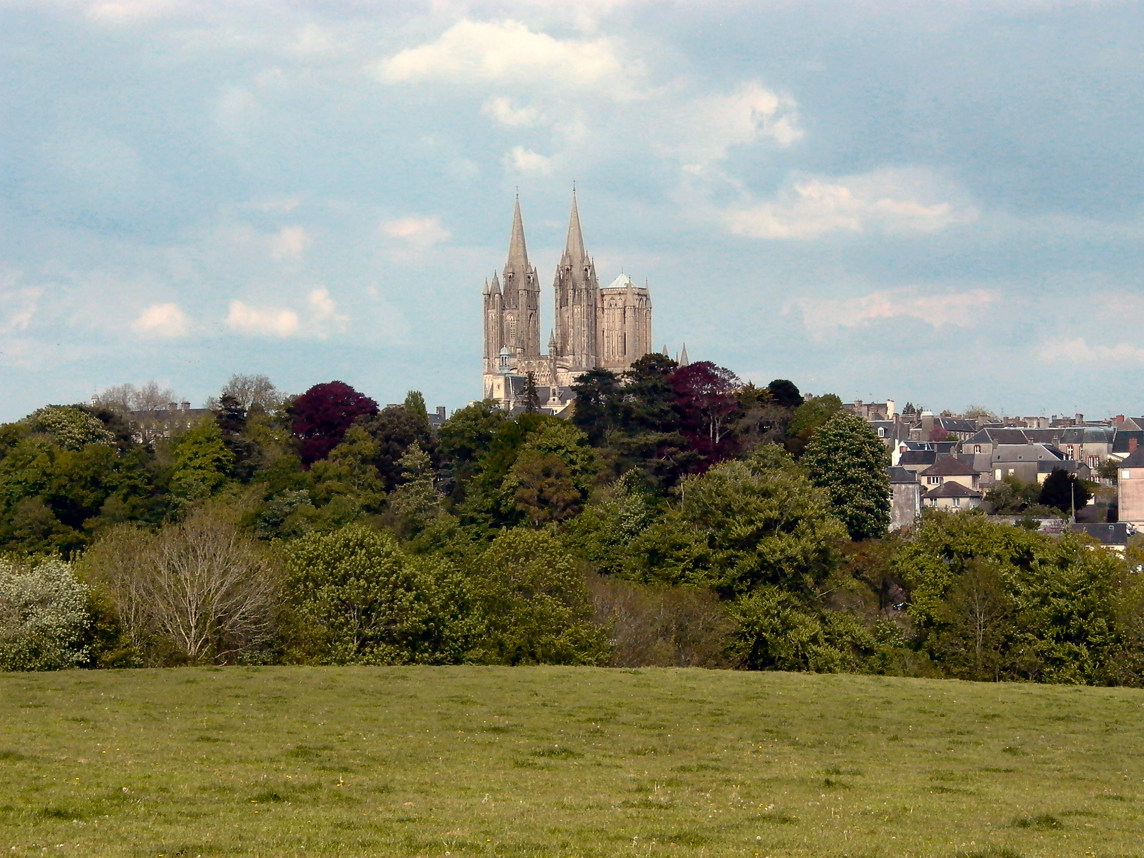
a view of Coutances, Normandy, France. (from the south)

Chateau de Gratot: Tower View

120411 Suisse Normandie 017

Coutances Cathedral
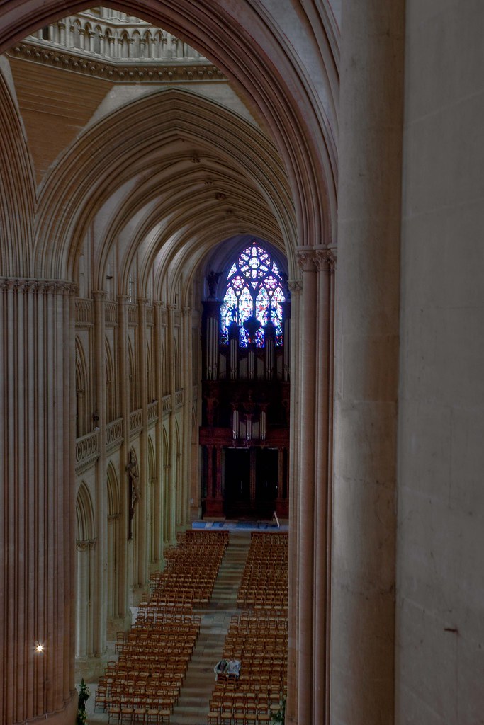
Coutances Cathedral - View of the Nave from the Clerestory Gallery
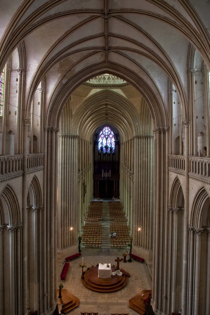
Coutances Cathedral - The Choir & Nave View from the Gallery

Chateau de Gratot: Tower View
Coutances Cathedral
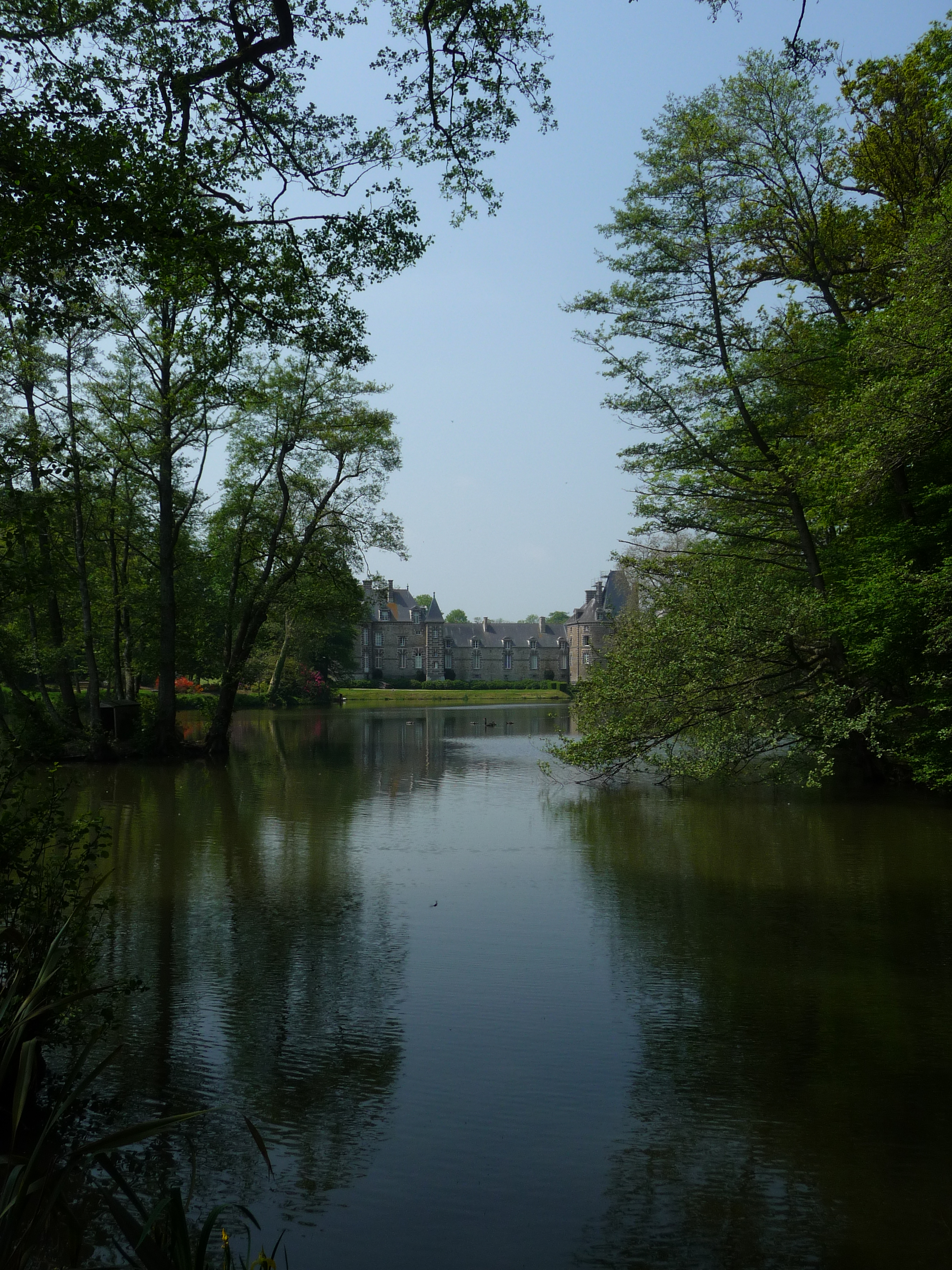
Château de Canisy
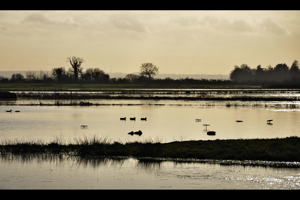
Au Gabion - Marais de La Taute (2837)
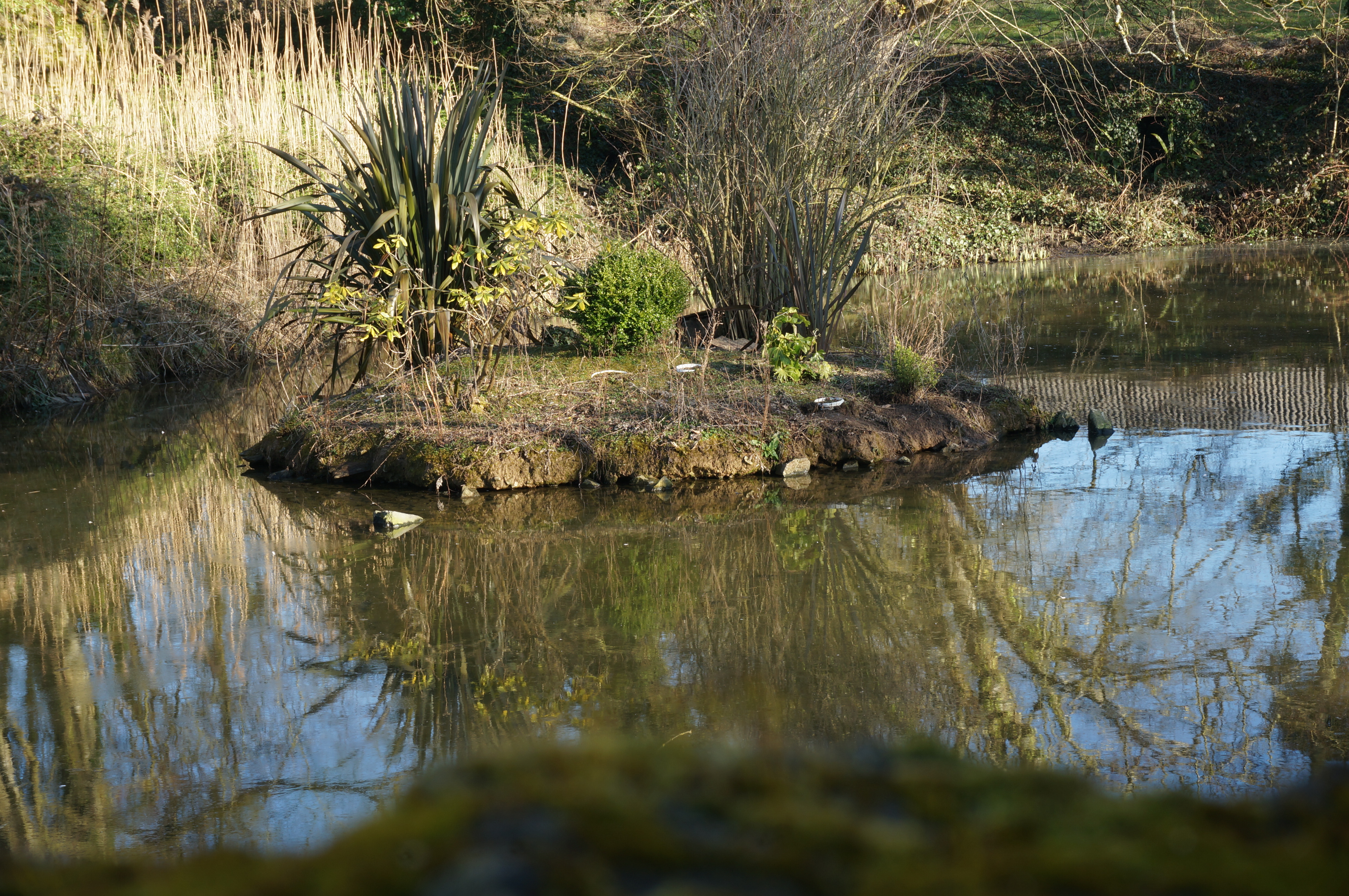
île déserte

shadow path
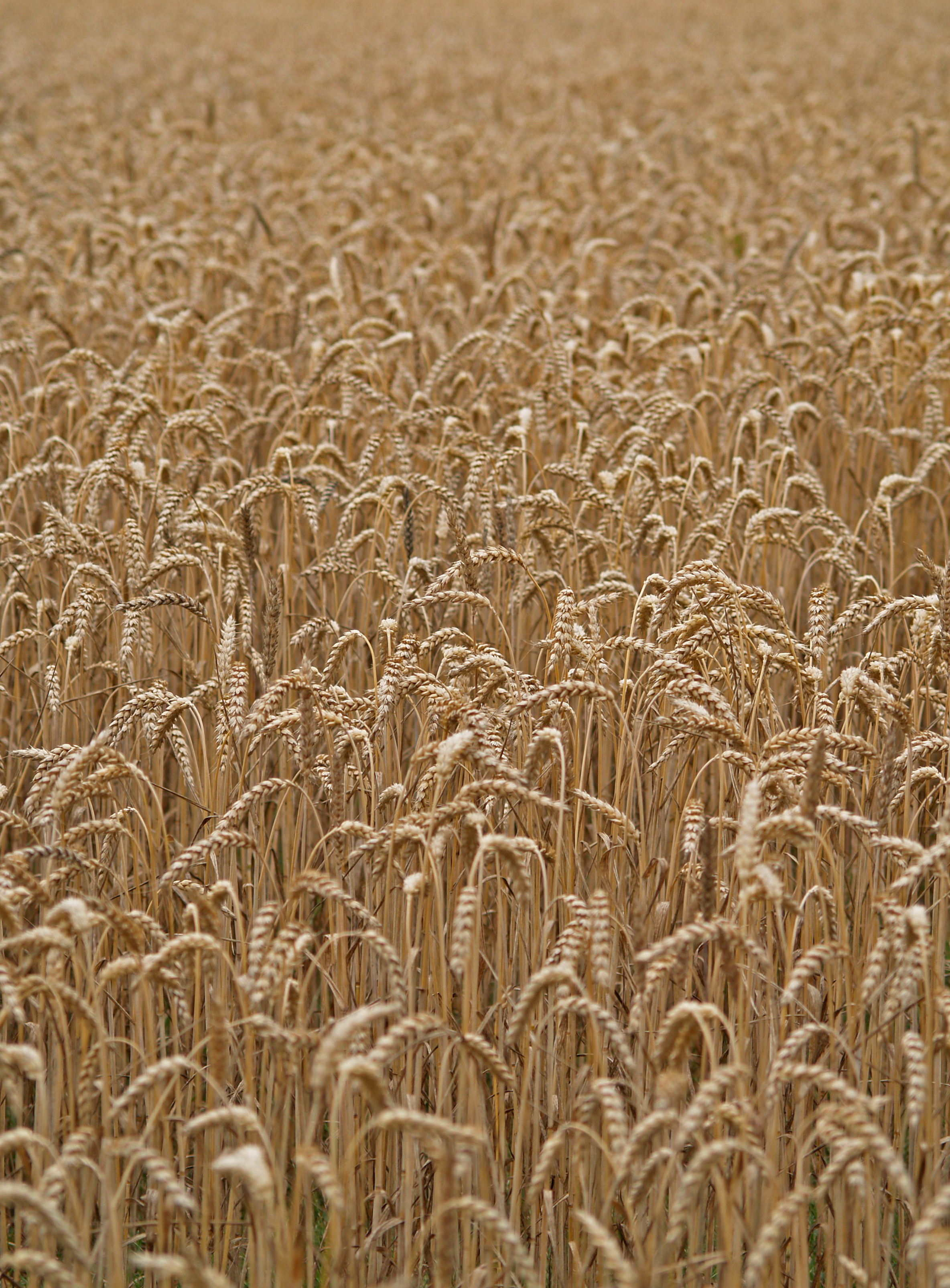
Blé

Crépuscule.jpg

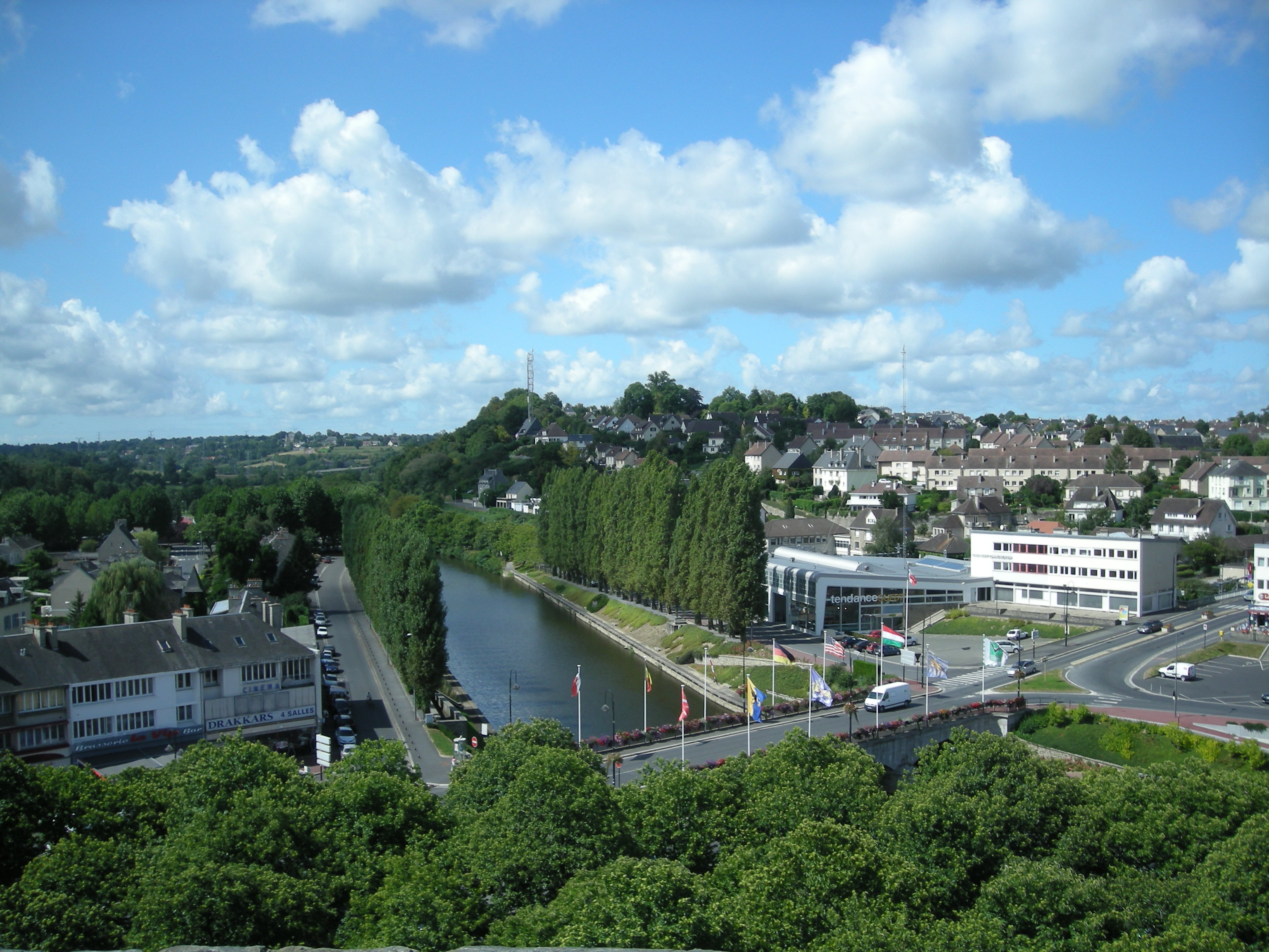
River Vire, Normandy
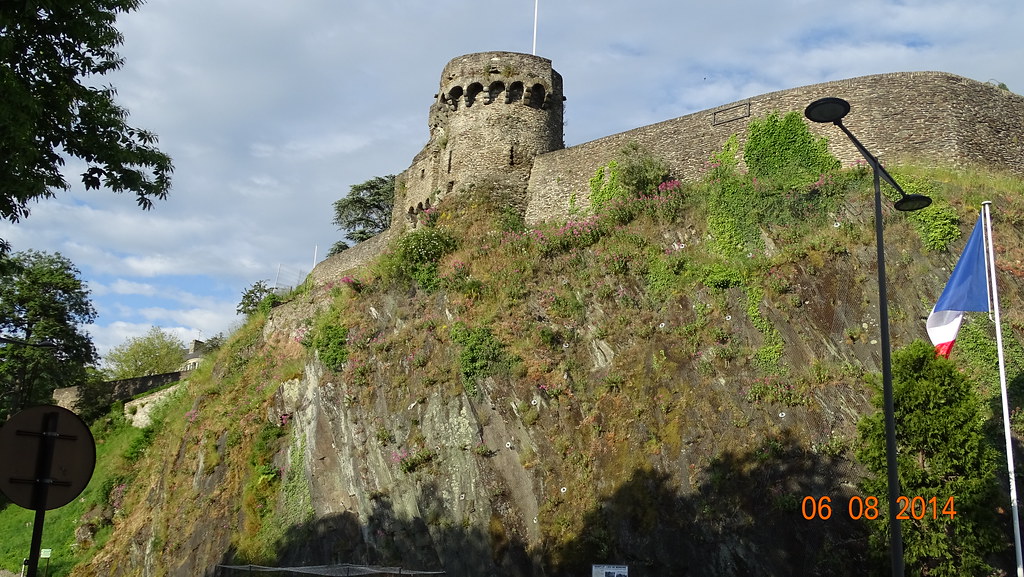
0982 -Saint-Lô - tour des Beaux Regards ("Tower of Beautiful Glances"),

L'ermitage Saint-Gerbold isolé dans la campagne normande à Gratot - France
Playing with my camera
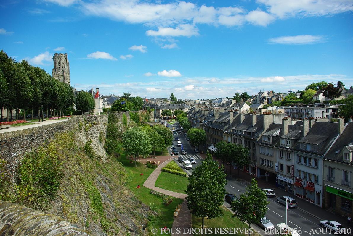
Vue sur Saint-Lô depuis les fortifications

120401 Coutances 134
Manche August 2013 831

2010-04-10_19-23-02
Mont Saint Michel

2013, first morning

Saint-Lô by night
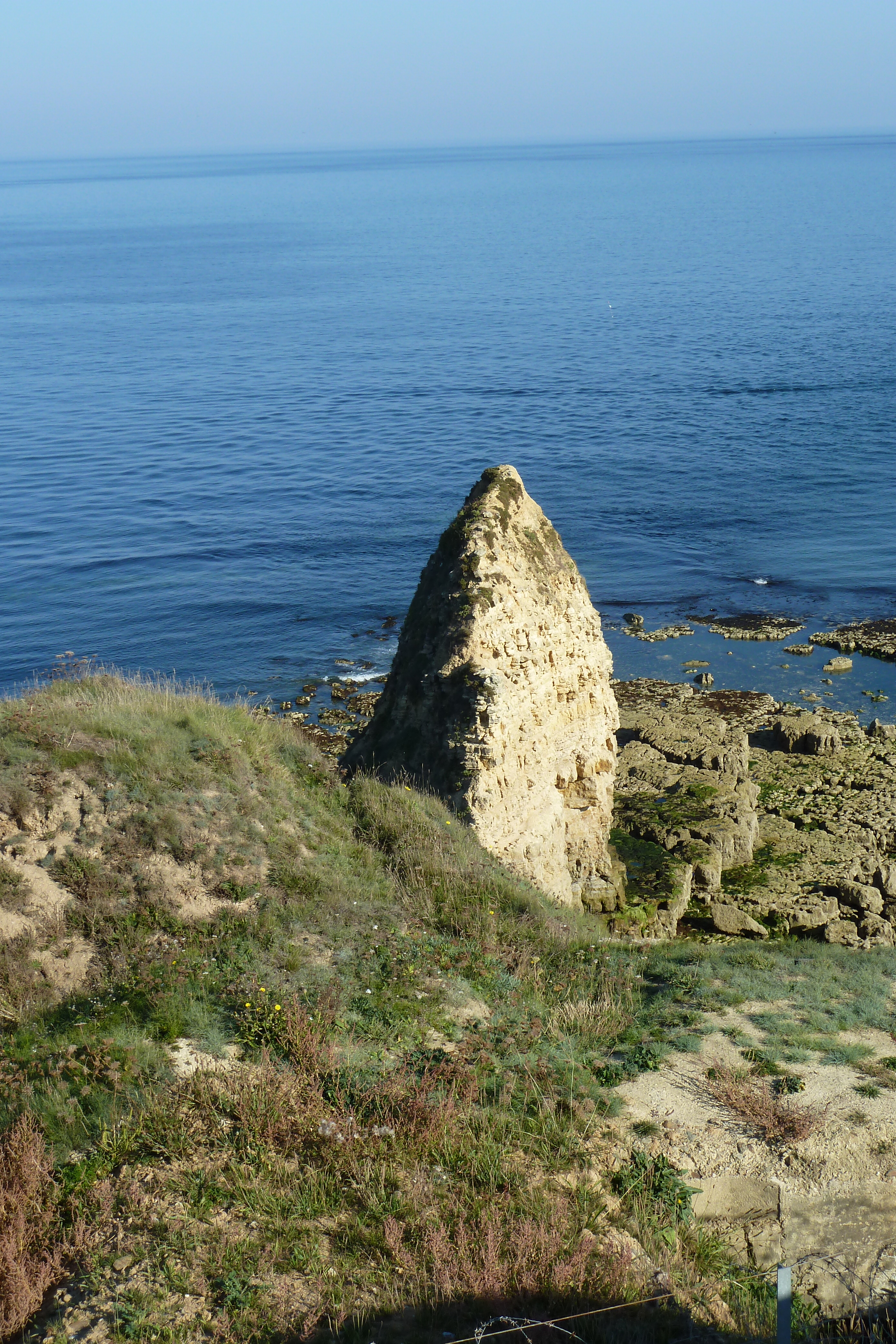
Pointe du Hoc
Saint-Lô - 05
Vue sur Saint-Lô et la Vire depuis les fortifications
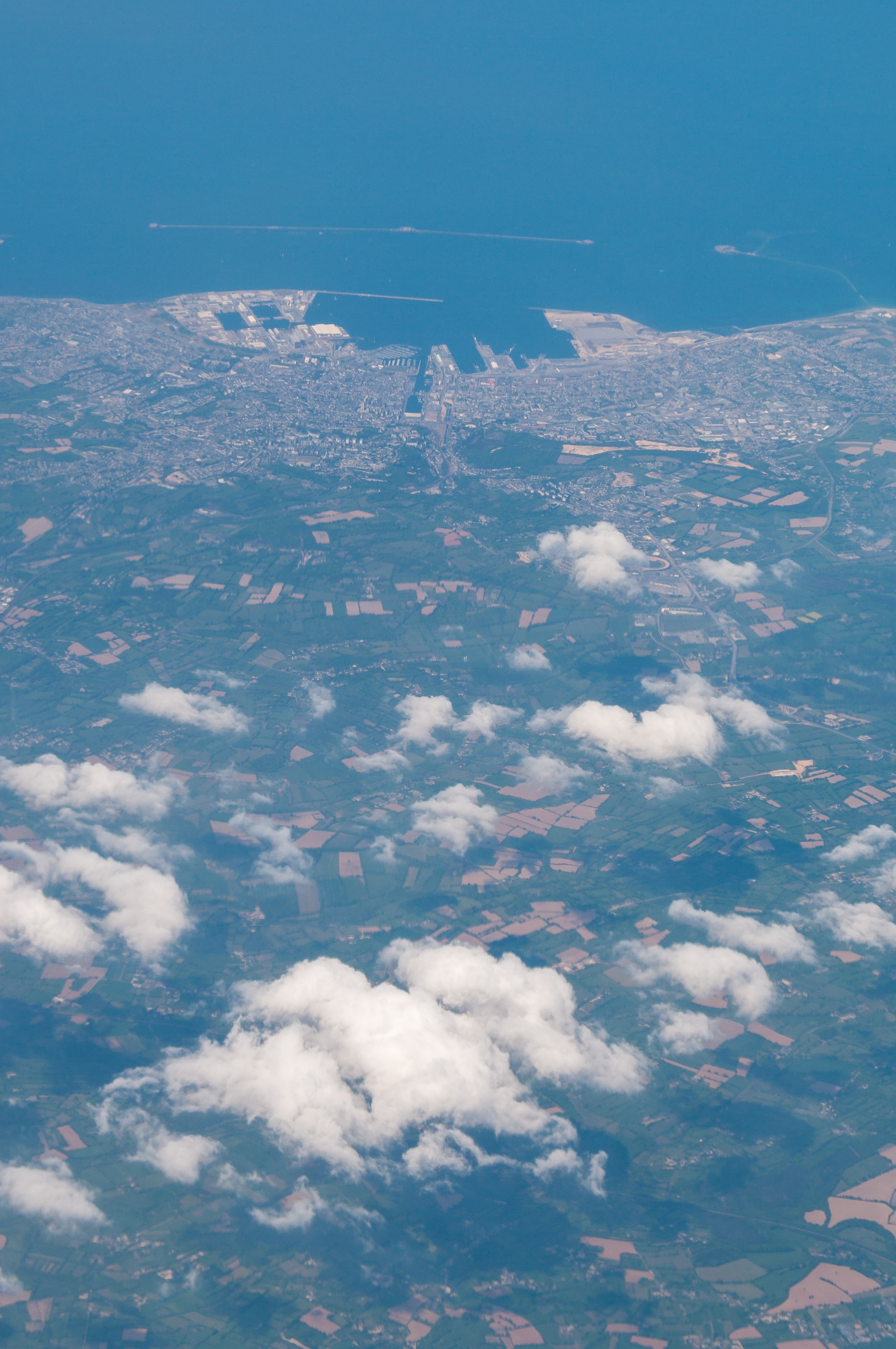
Vol trans atlantique
Topographic Map of Manche, France
Find elevation by address:

Places in Manche, France:
Pontorson
Ger
Marchésieux
Sainteny
Brix
Le Teilleul
Le Grand-celland
Saint-planchers
Pirou
Rouxeville
Ouville
Cherbourg-octeville
Saint-floxel
Savigny
Le Dézert
Hudimesnil
Rauville-la-bigot
Saint-hilaire-du-harcouët
Sainte-mère-Église
Querqueville
Amfreville
Champeaux
Brévands
Condé-sur-vire
Orglandes
Moon-sur-elle
Sotteville
La Chapelle-en-juger
Orval
Saint-jean-des-champs
Gorges
Réville
Saint-james
Le Plessis-lastelle
Saint-lô
Angoville-au-plain
Tourville-sur-sienne
Martigny
Herqueville
Saint-patrice-de-claids
Portbail
Sainte-pience
Coudeville-sur-mer
Le Loreur
Les Veys
Subligny
Les Moitiers-en-bauptois
Vaudreville
Appeville
Saint-rémy-des-landes
Saint-maur-des-bois
Rauville-la-place
Fierville-les-mines
Bréhal
Saint-denis-le-gast
Saint-germain-sur-ay
La Mouche
Saint-clair-sur-l'elle
Émondeville
Varouville
Sartilly
Gatteville-le-phare
Saint-sauveur-le-vicomte
Montpinchon
Lestre
Sideville
Fermanville
Saint-samson-de-bonfossé
Sacey
Auvers
Saint-gilles
La Haye-pesnel
Saint-martin-de-cenilly
Saint-nicolas-de-pierrepont
La Meauffe
Le Mesnil-rogues
Saint-martin-d'aubigny
Muneville-le-bingard
Angoville-sur-ay
Pontaubault
Lingreville
Picauville
Saint-sébastien-de-raids
Saint-laurent-de-cuves
Coutances
Mont Saint-michel
Le Fresne-poret
Le Maupertus
Cherbourg-en-cotentin
Saint-pierre-d'arthéglise
Saussey
Places near Manche, France:
Saint-christophe
12 Route du Château, Savigny, France
20b
Saint-martin-d'aubigny
Savigny
Marchésieux
2 La Ventinière, Marchésieux, France
4 La Percherie, Saint-Martin-d'Aubigny, France
10 Rue de Bohon, La Chapelle-en-Juger, France
Saint-sébastien-de-raids
La Chapelle-en-juger
10 Mille Diables, Saint-Sébastien-de-Raids, France
Saint-gilles
4 La Communette, Saint-Gilles, France
Le Dézert
7 Le Village Lallemand, Le Dézert, France
Saint-samson-de-bonfossé
2 Coquet, La Meauffe, France
1 La Pasquerie, Saint-Samson-de-Bonfossé, France
Chemin de Lignerolles, Saint-Lô, France
Recent Searches:
- Elevation of Corso Fratelli Cairoli, 35, Macerata MC, Italy
- Elevation of Tallevast Rd, Sarasota, FL, USA
- Elevation of 4th St E, Sonoma, CA, USA
- Elevation of Black Hollow Rd, Pennsdale, PA, USA
- Elevation of Oakland Ave, Williamsport, PA, USA
- Elevation of Pedrógão Grande, Portugal
- Elevation of Klee Dr, Martinsburg, WV, USA
- Elevation of Via Roma, Pieranica CR, Italy
- Elevation of Tavkvetili Mountain, Georgia
- Elevation of Hartfords Bluff Cir, Mt Pleasant, SC, USA