Elevation of 20B Rue des Boscqs C.r. 49, Marchésieux, France
Location: France > Normandy > Manche > Marchésieux >
Longitude: -1.3209365
Latitude: 49.172572
Elevation: 18m / 59feet
Barometric Pressure: 101KPa
Elevation Map:
Satellite Map:
Related Photos:
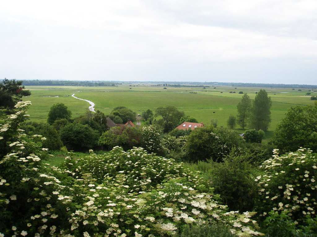
View from Graignes
L'Hotel de Soulles, Normandie.
L'Hotel de Soulles, Normandie.

120411 Suisse Normandie 017
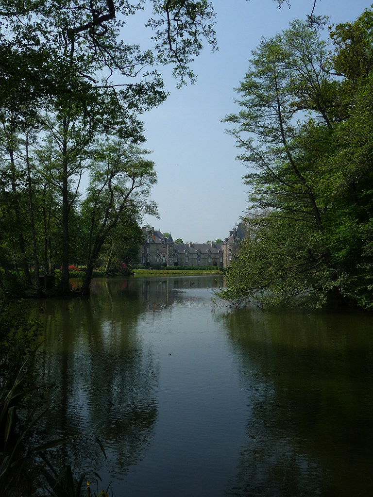
Château de Canisy
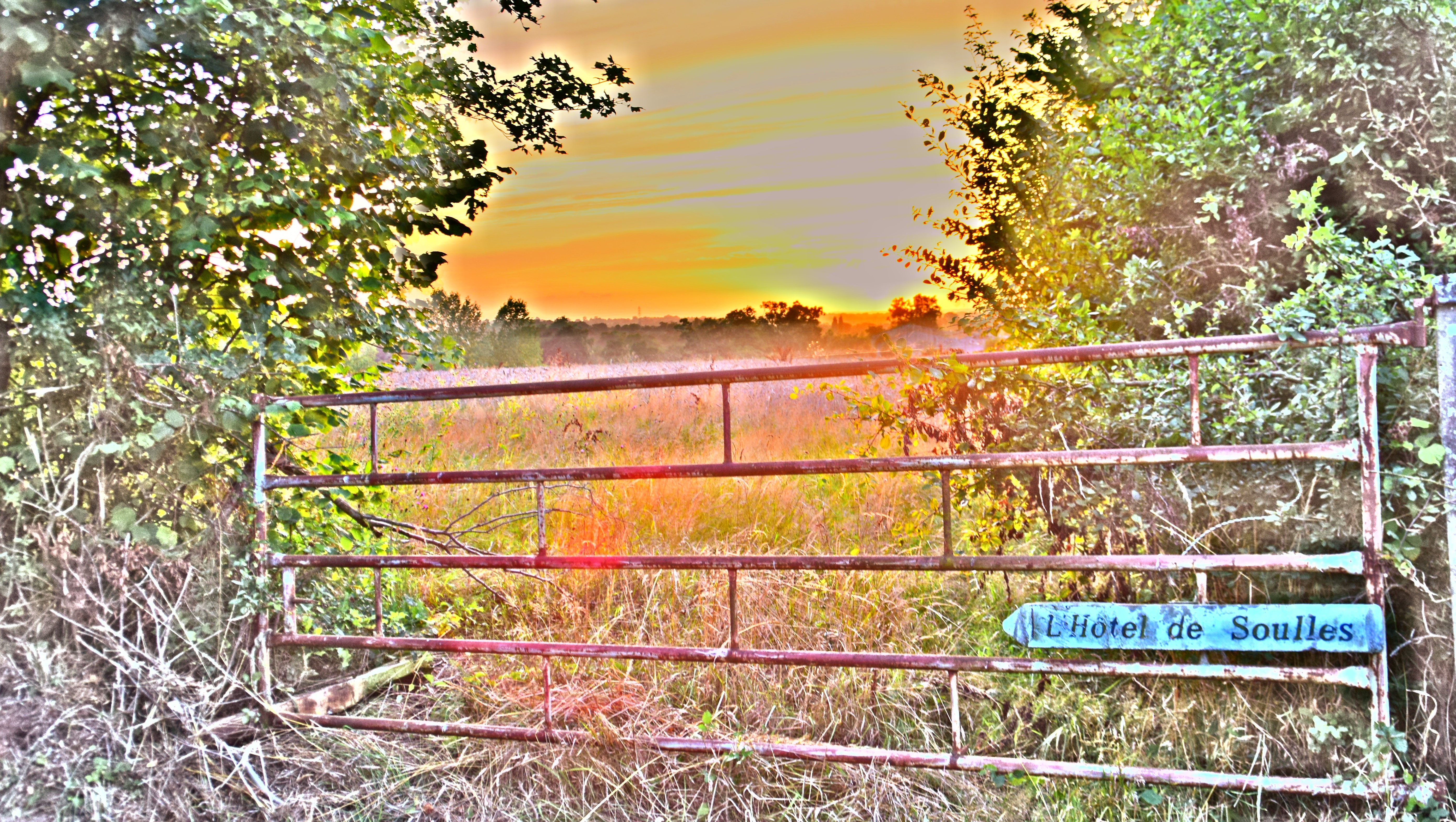
L'Hotel de Soulles, Normandie.
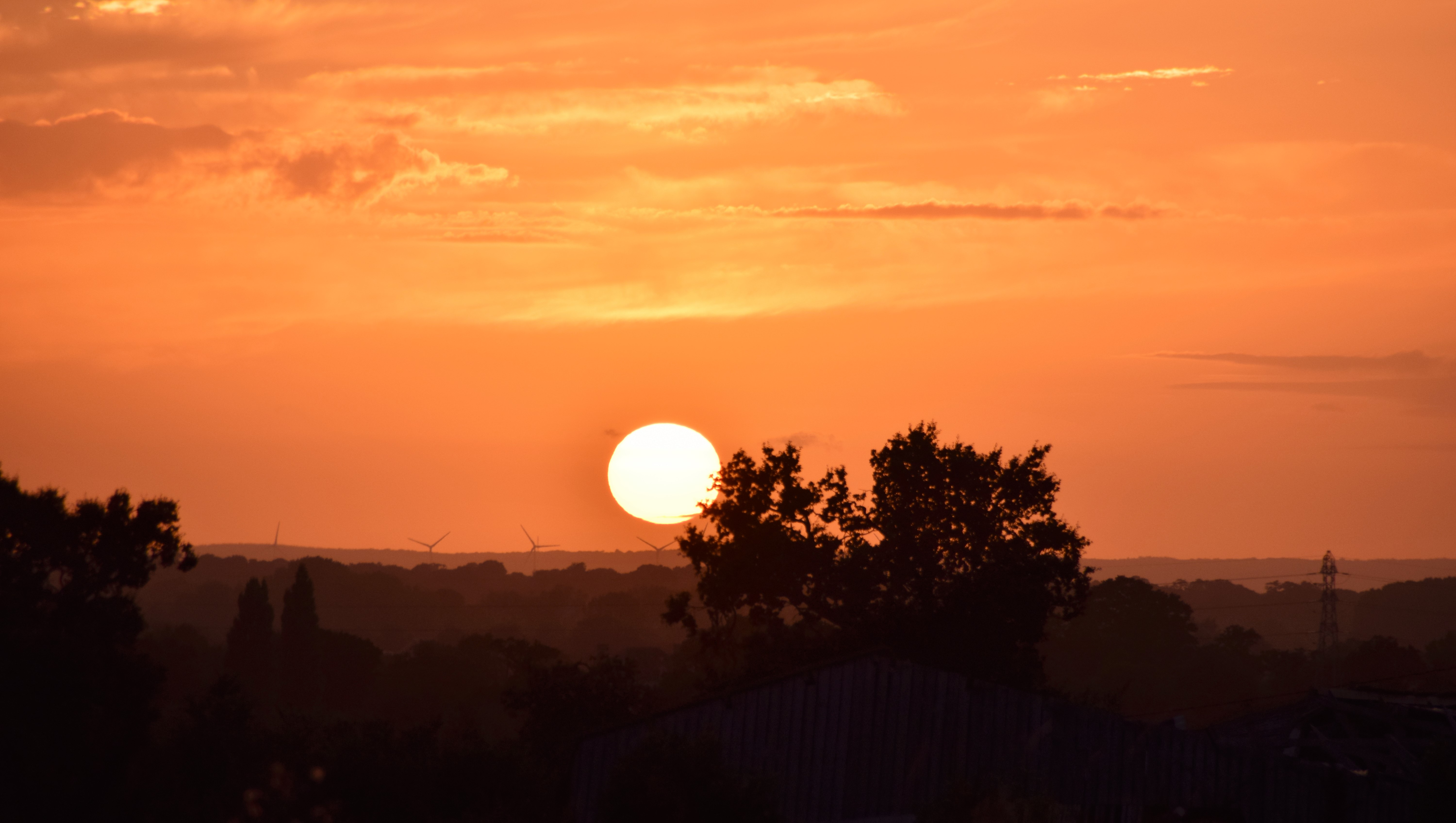
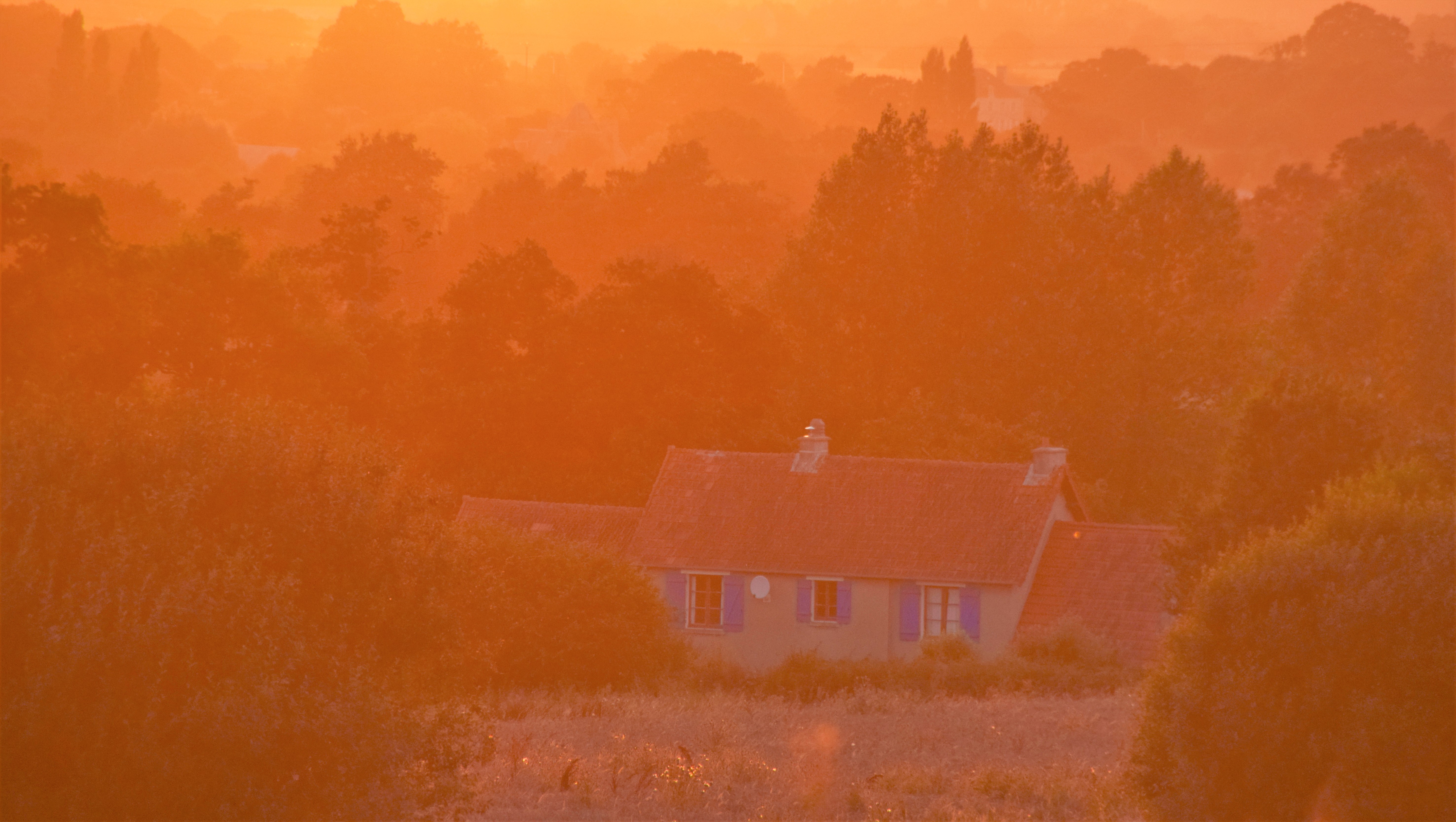
Sunset over Normandie.

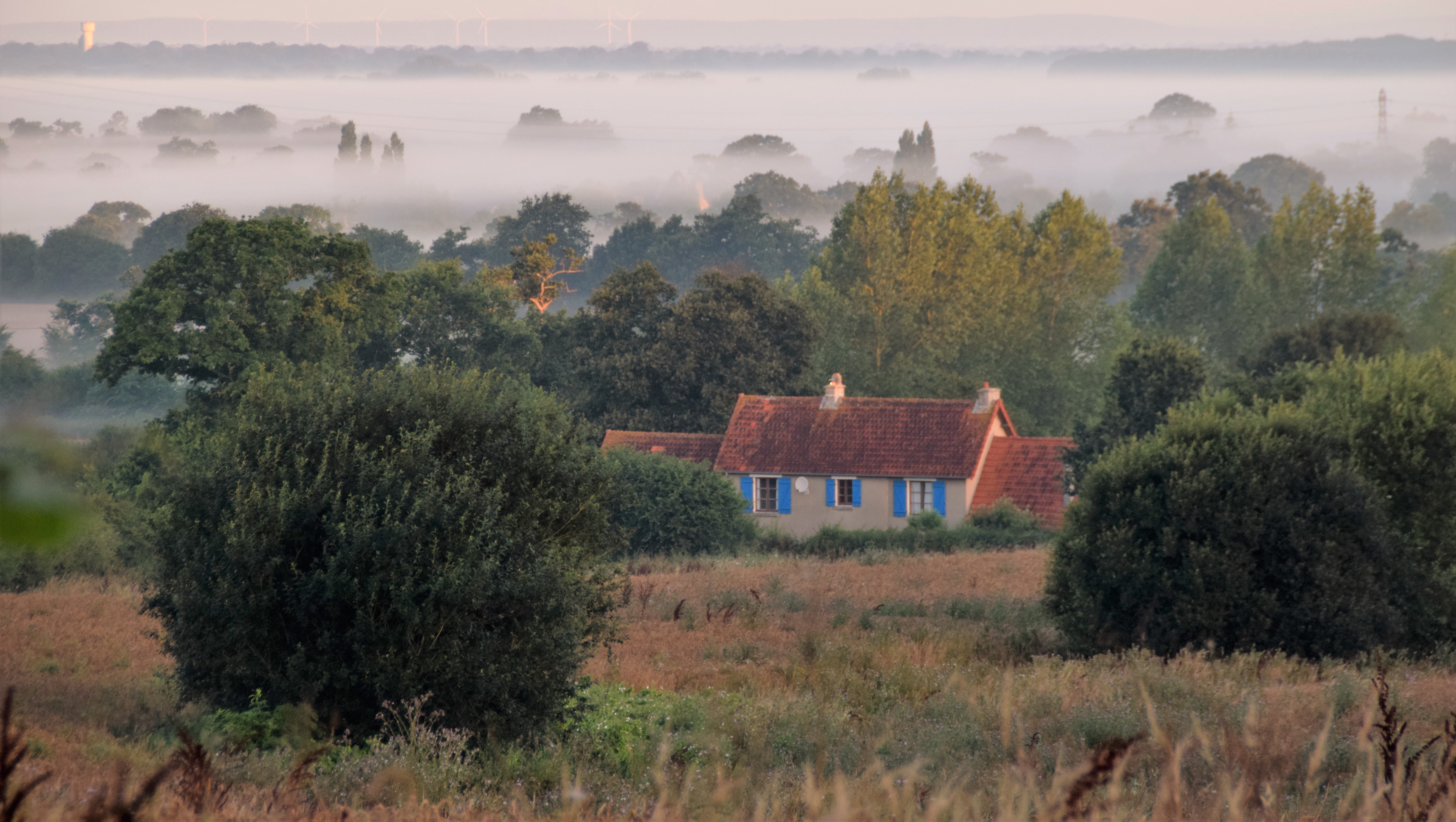
Marais du Plessis-Lastelle (3612)
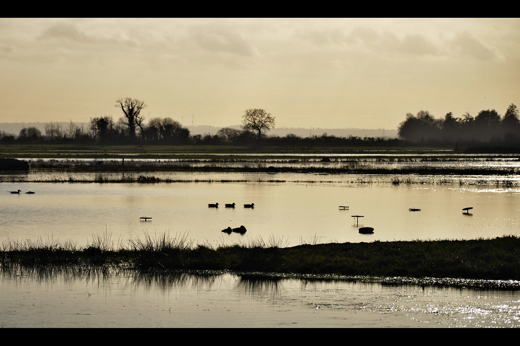
Au Gabion - Marais de La Taute (2837)

#Normandy #Basse #France #
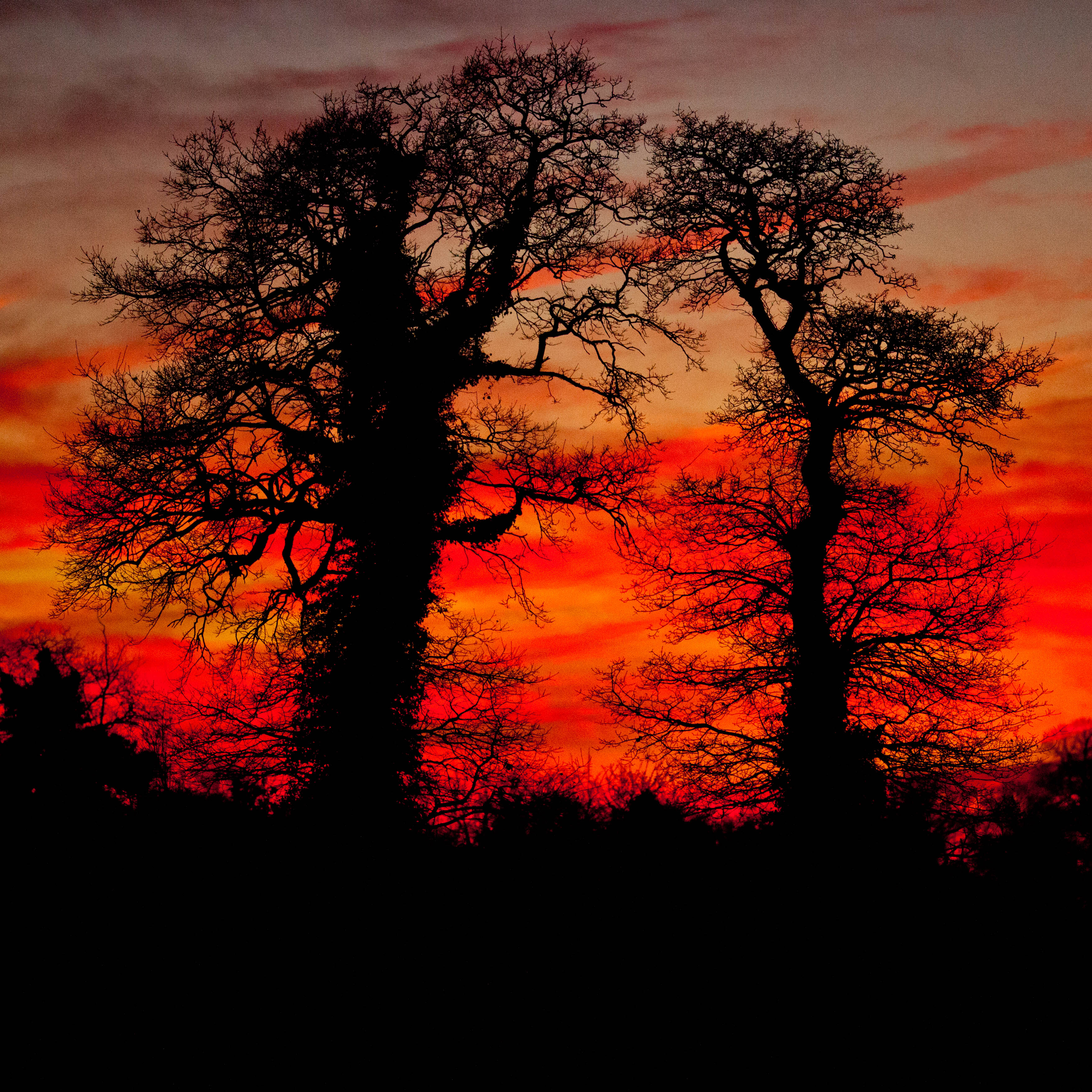
Crépuscule.jpg

Pano (2527-38)

River Vire, Normandy

Hotel de Ville
Chapelle Sainte Anne des marais à Gorges (Manche-FR)

Baupte - 2010-11 (7055)
Blé

dark skies and wheat fields
Playing with my camera
Grass seeds
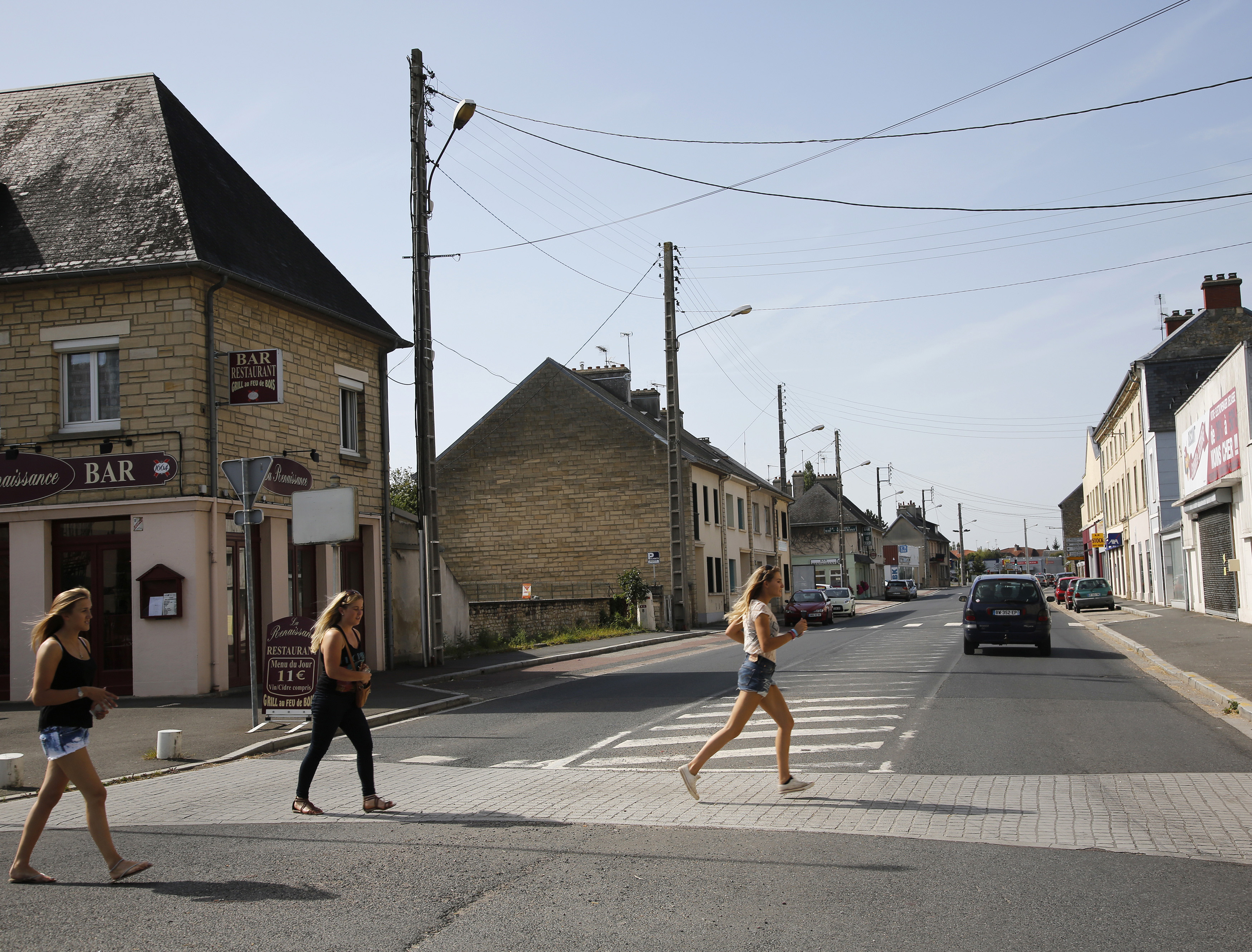
D-DAY - Rue Holgate and RN13, Carentan, 2013

2010-04-10_19-23-02
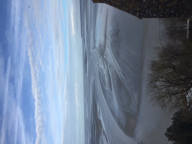
Mont Saint Michel

2013, first morning
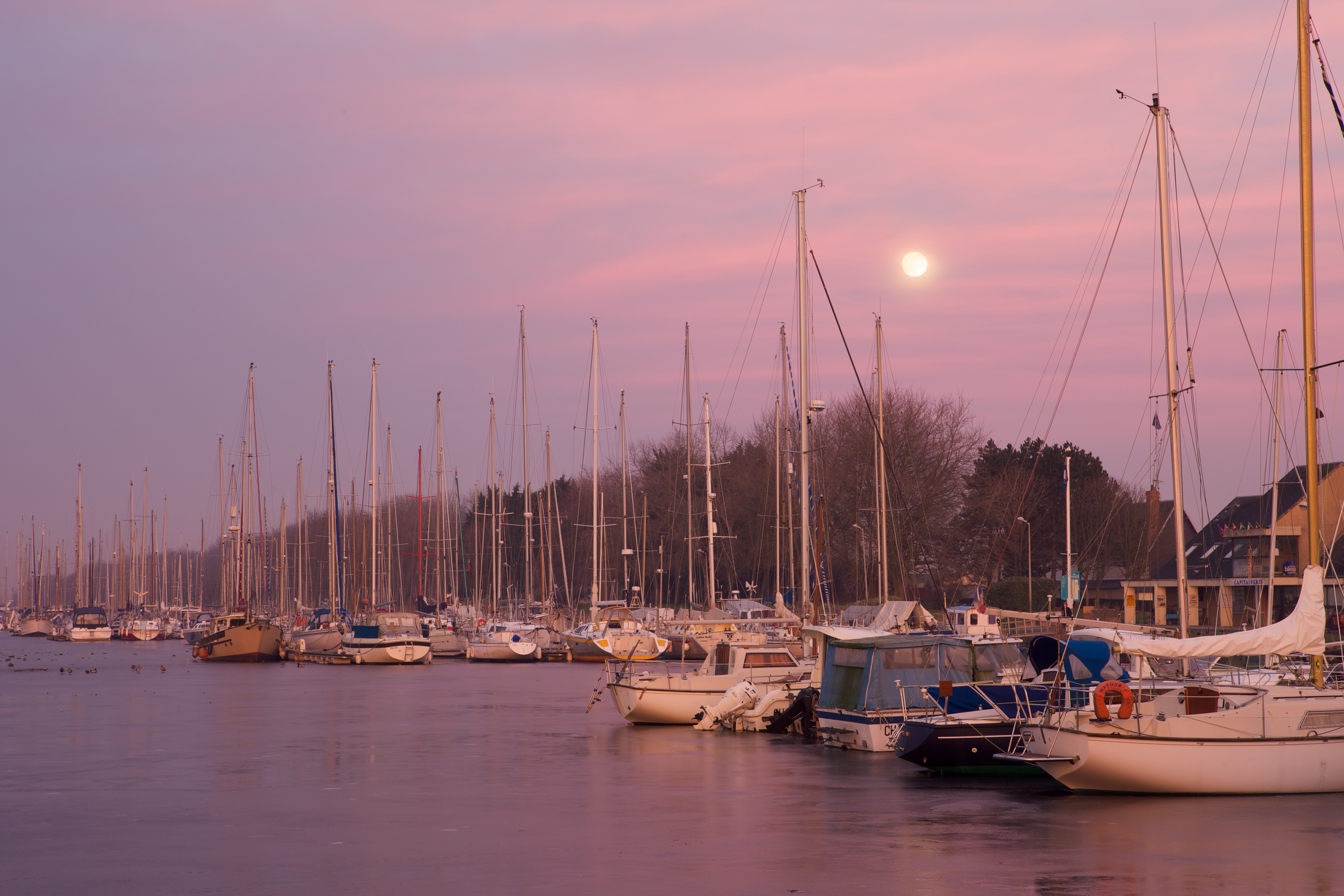
Port de Carentan
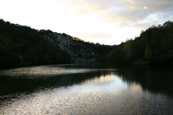
Montecasse quarry
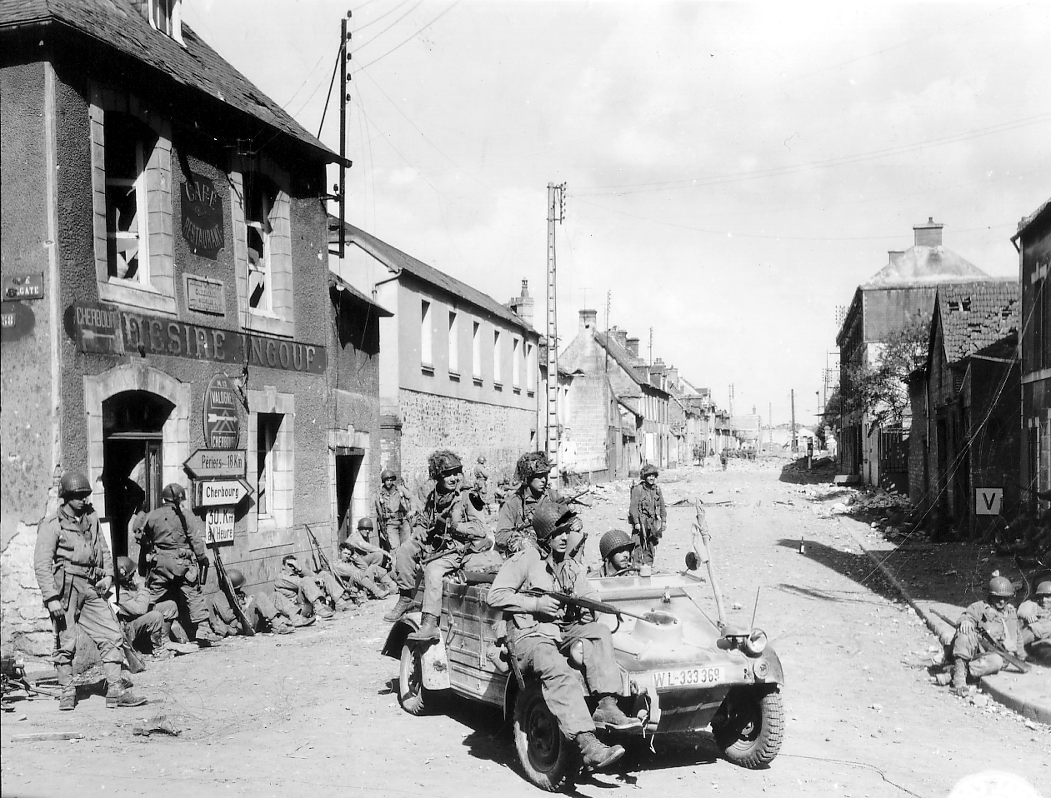
D-DAY - Rue Holgate and RN13, Carentan, 1944
Topographic Map of 20B Rue des Boscqs C.r. 49, Marchésieux, France
Find elevation by address:

Places near 20B Rue des Boscqs C.r. 49, Marchésieux, France:
Saint-christophe
Saint-martin-d'aubigny
Marchésieux
2 La Ventinière, Marchésieux, France
4 La Percherie, Saint-Martin-d'Aubigny, France
Saint-sébastien-de-raids
Manche
10 Mille Diables, Saint-Sébastien-de-Raids, France
10 Rue de Bohon, La Chapelle-en-Juger, France
12 Route du Château, Savigny, France
La Chapelle-en-juger
Savigny
Le Dézert
Saint-gilles
7 Le Village Lallemand, Le Dézert, France
4 La Communette, Saint-Gilles, France
2 Coquet, La Meauffe, France
La Meauffe
Chemin de Lignerolles, Saint-Lô, France
Saint-samson-de-bonfossé
Recent Searches:
- Elevation of 15th Ave SE, St. Petersburg, FL, USA
- Elevation of Beall Road, Beall Rd, Florida, USA
- Elevation of Leguwa, Nepal
- Elevation of County Rd, Enterprise, AL, USA
- Elevation of Kolchuginsky District, Vladimir Oblast, Russia
- Elevation of Shustino, Vladimir Oblast, Russia
- Elevation of Lampiasi St, Sarasota, FL, USA
- Elevation of Elwyn Dr, Roanoke Rapids, NC, USA
- Elevation of Congressional Dr, Stevensville, MD, USA
- Elevation of Bellview Rd, McLean, VA, USA