Elevation of 2 La Ventinière, Marchésieux, France
Location: France > Normandy > Manche > Marchésieux >
Longitude: -1.2955697
Latitude: 49.1994961
Elevation: 14m / 46feet
Barometric Pressure: 101KPa
Elevation Map:
Satellite Map:
Related Photos:

Silvered Spiral Staircase
L'Hotel de Soulles, Normandie.
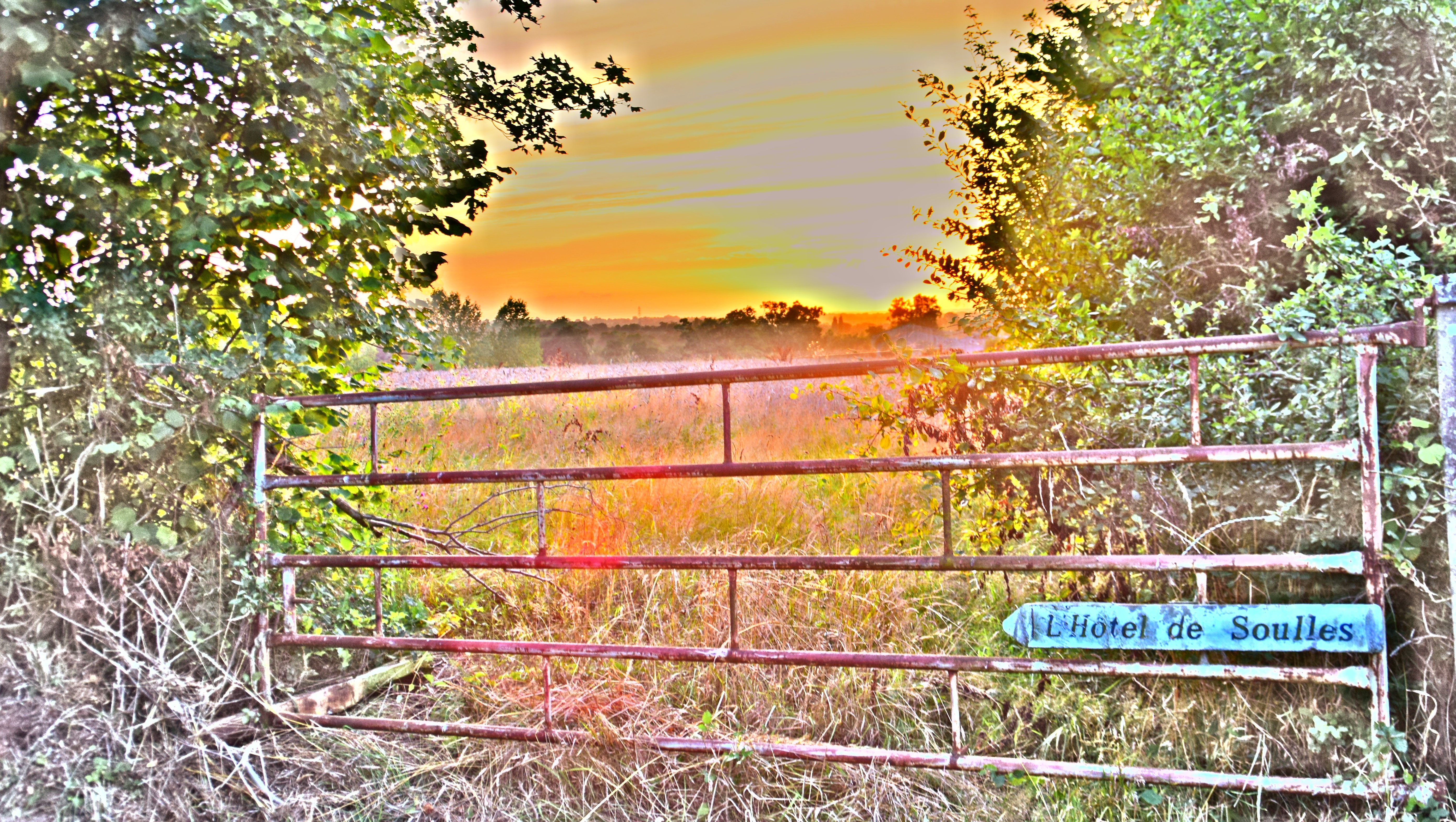
L'Hotel de Soulles, Normandie.
L'Hotel de Soulles, Normandie.
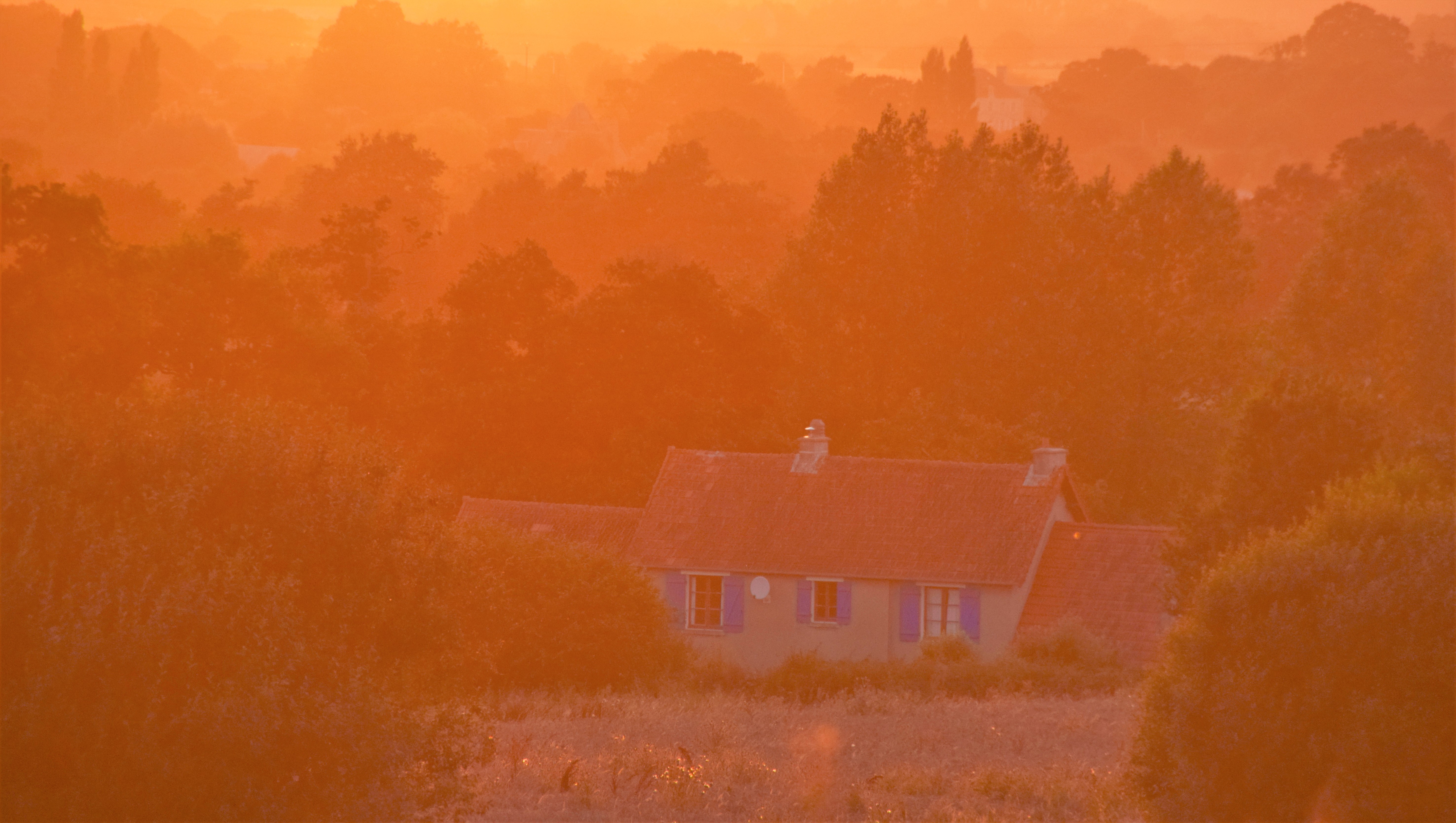
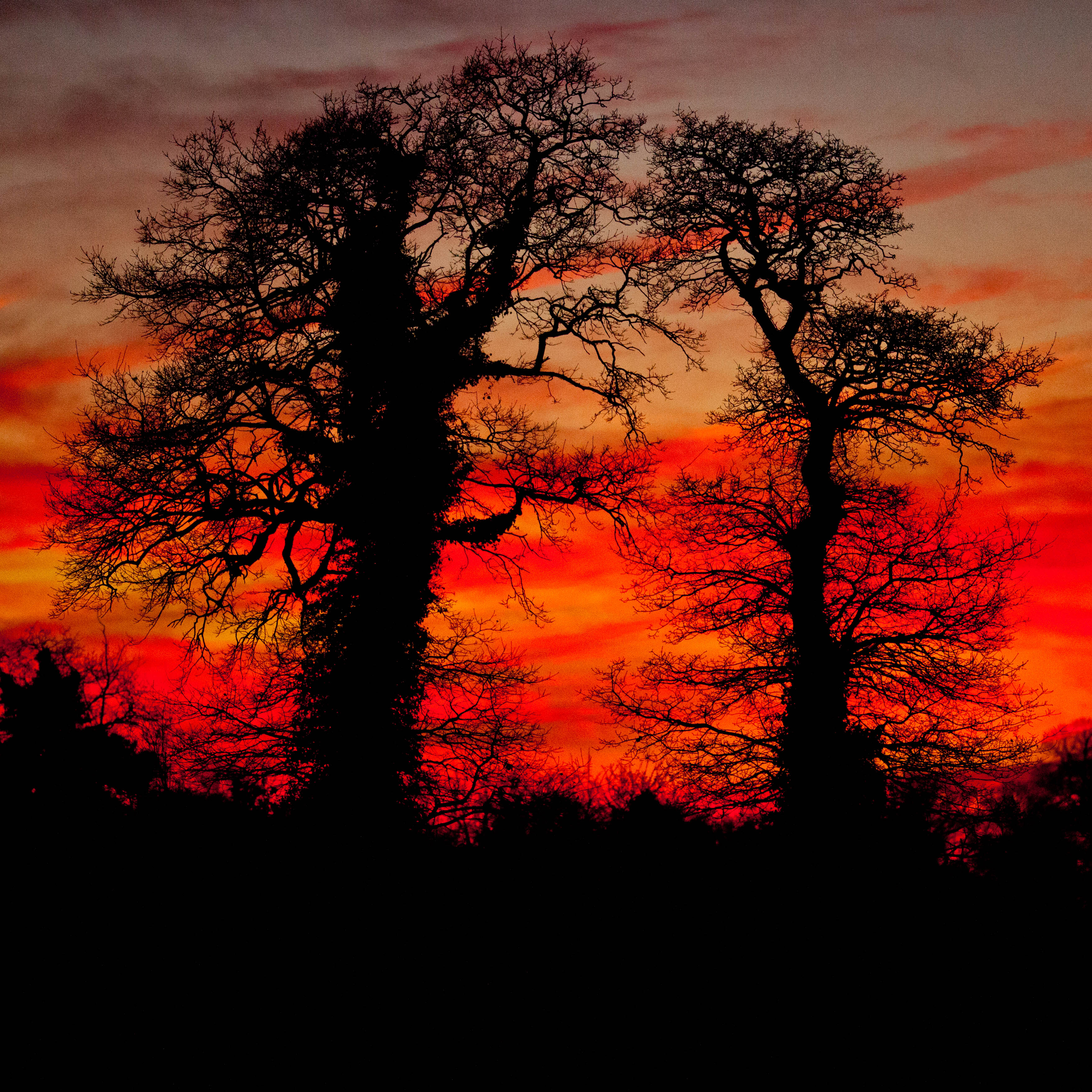
Sunset over Normandie.
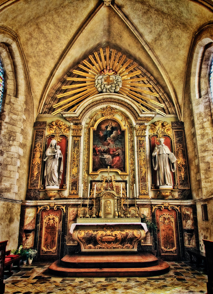
Inside Eglise St-Côme-du-Mont in Normandy
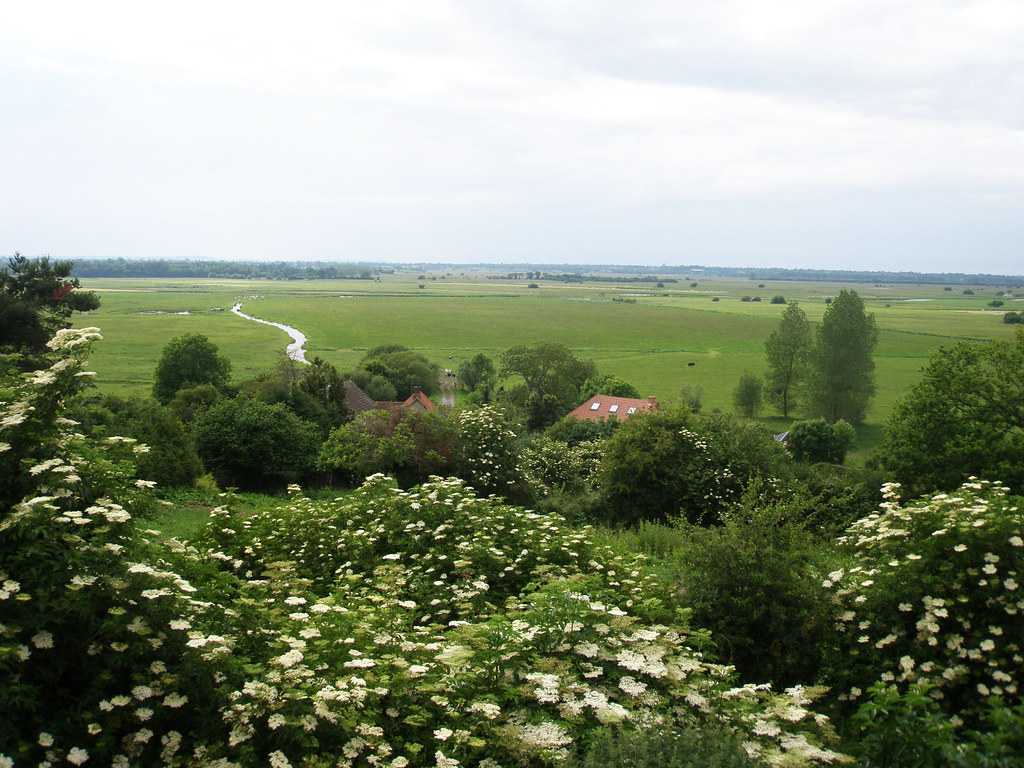
View from Graignes
Des siècles d'histoire

120411 Suisse Normandie 017
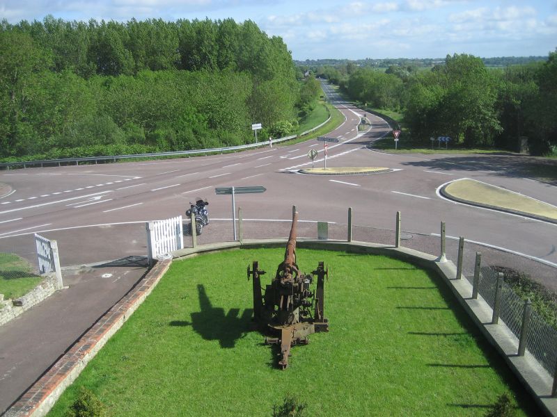
View of Dead Man's Corner from the museum
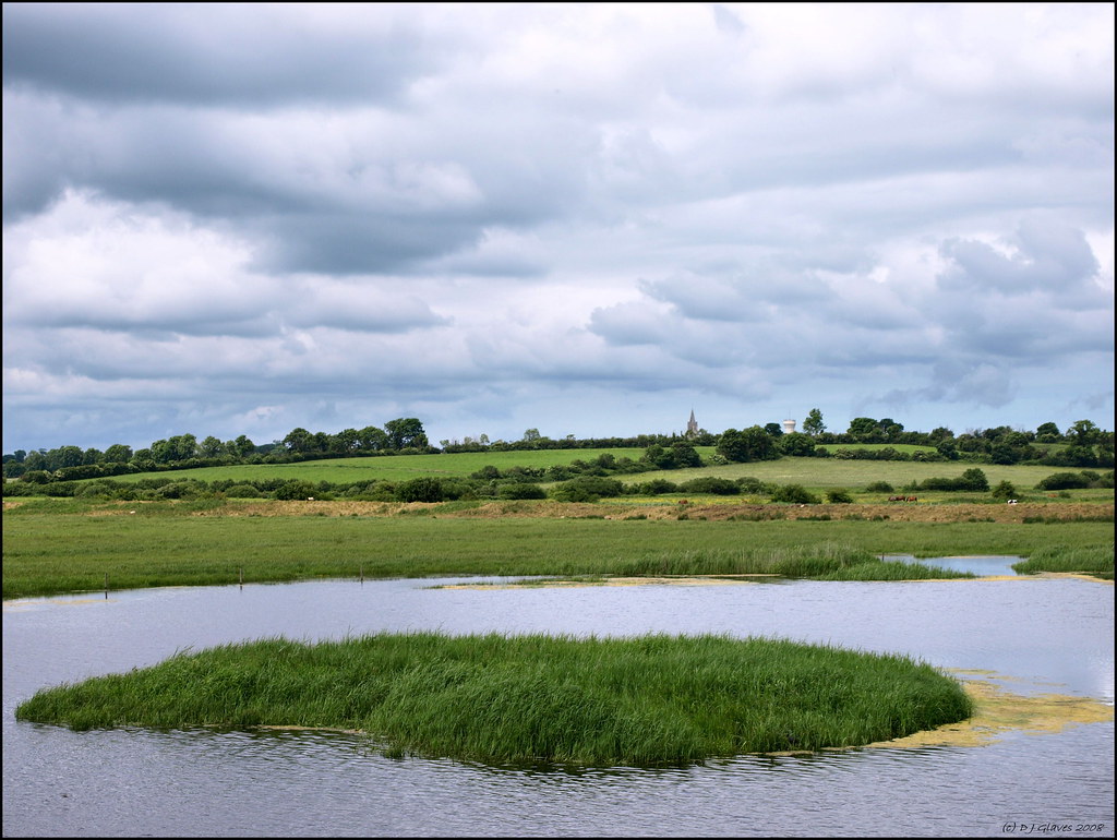
View from the bird hide
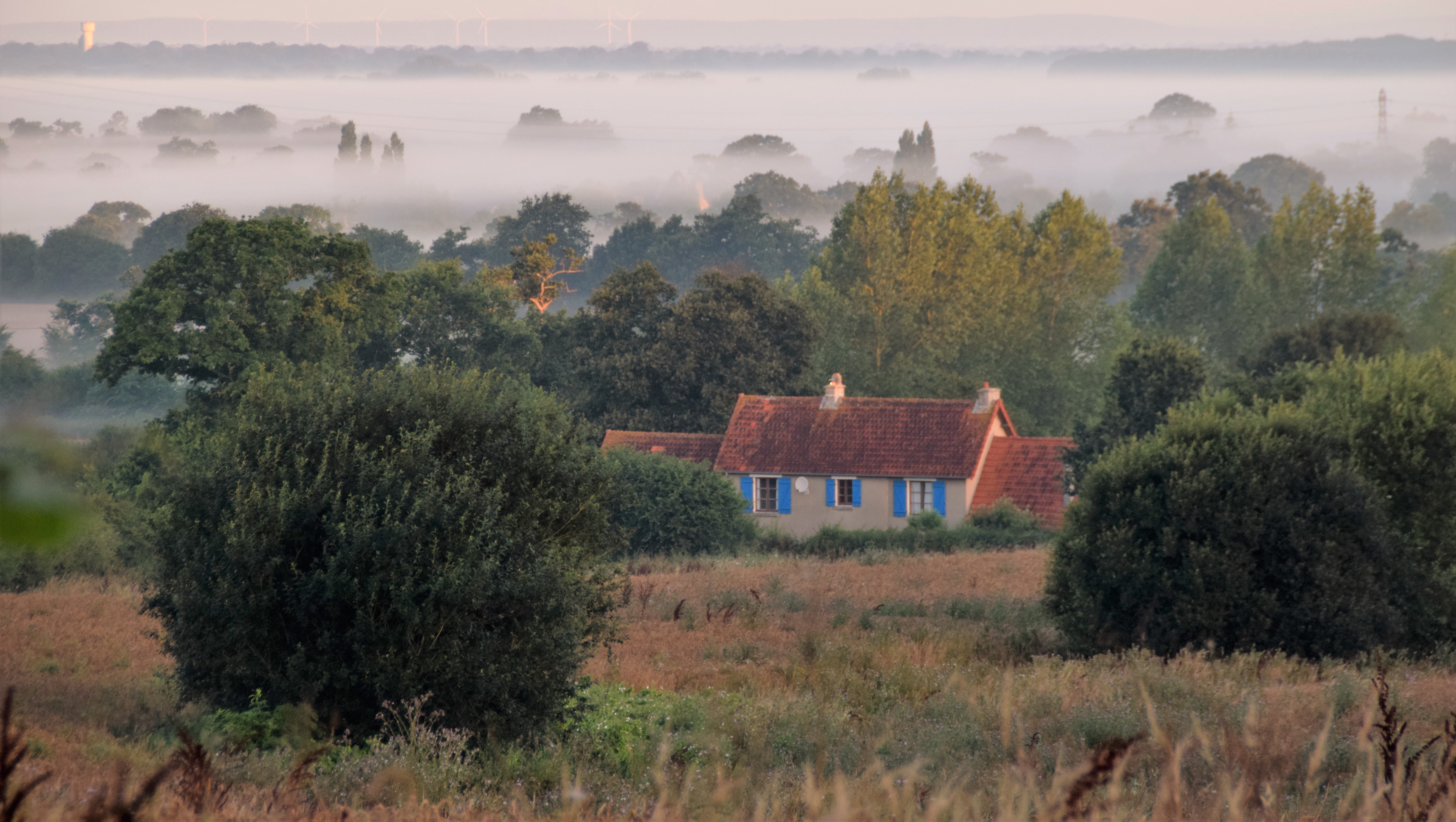
Beyond the forrest is the vacation of a lifetime
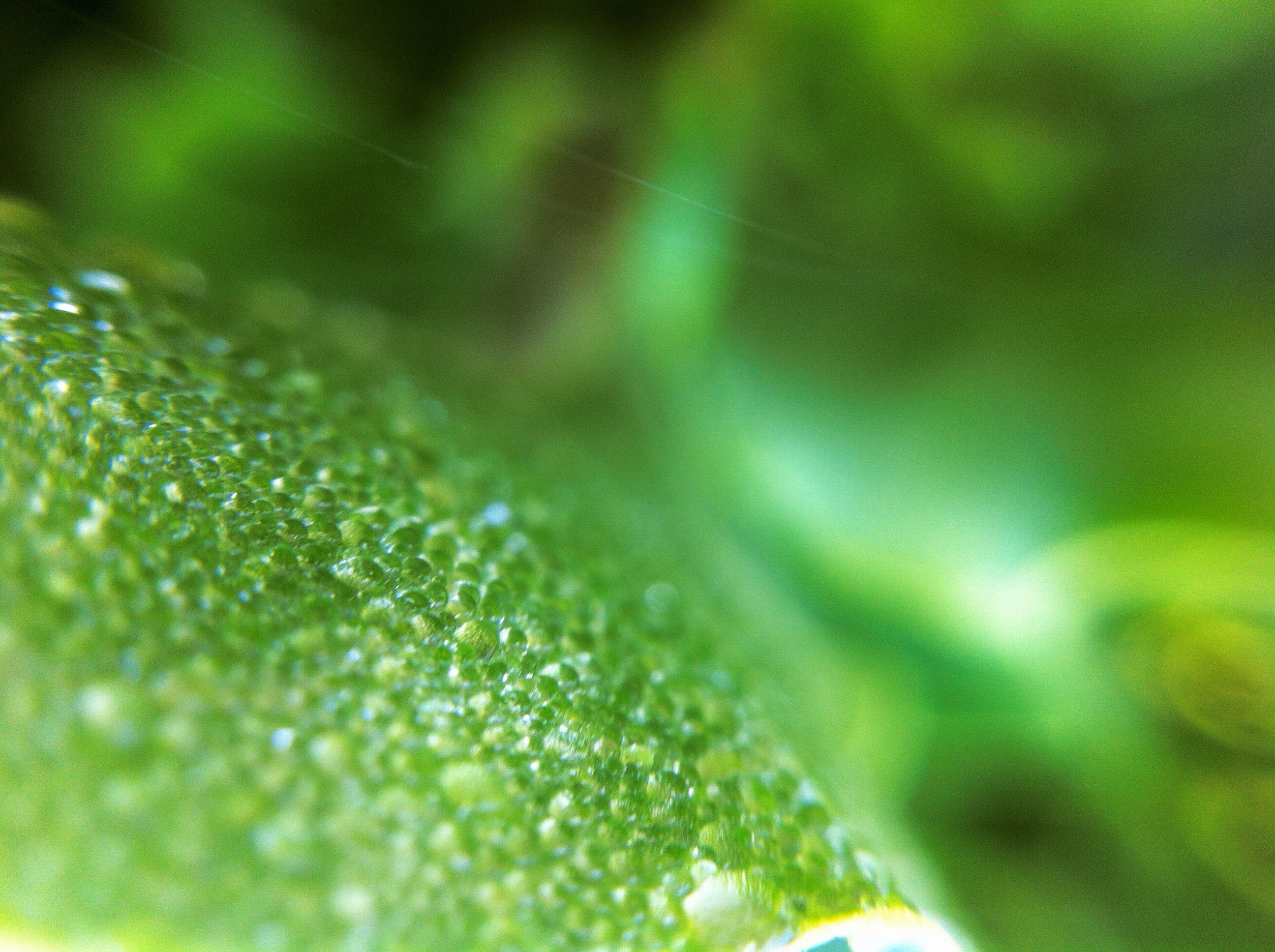
Water Drops On Deep Green Leaf

#Normandy #Basse #France #
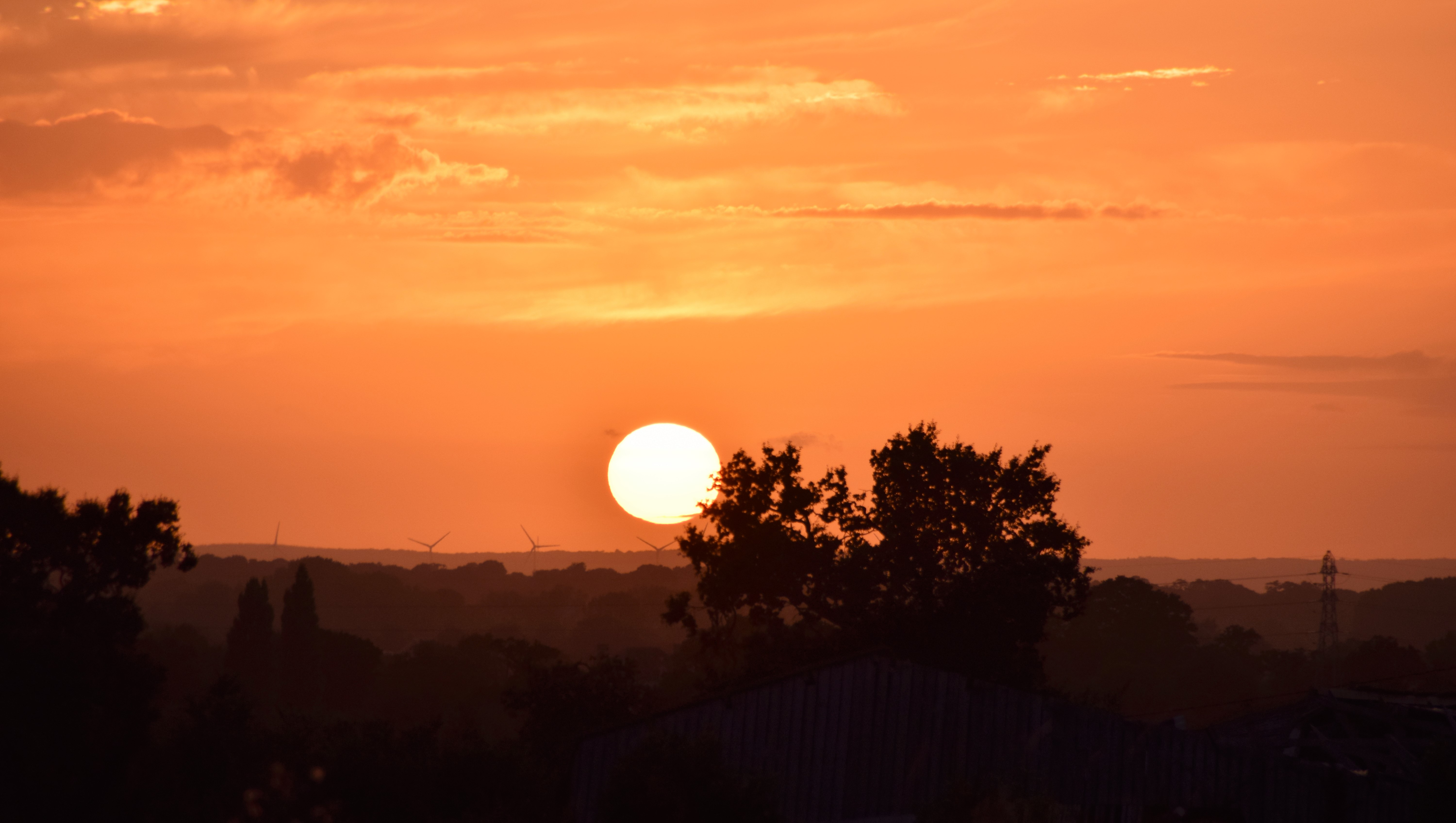
Crépuscule.jpg
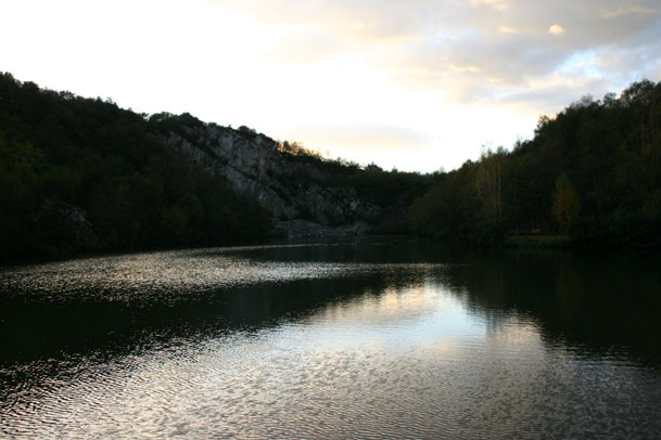
Montecasse quarry
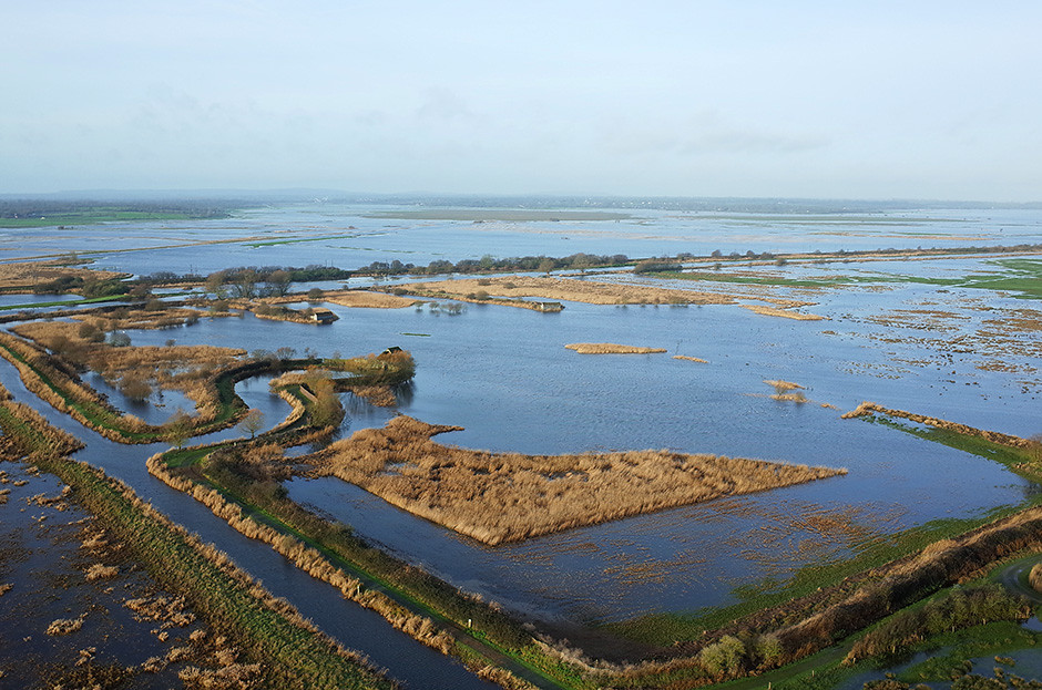
le Marais des Ponts d'Ouve à Saint-Côme-du-Mont (Manche-FR)
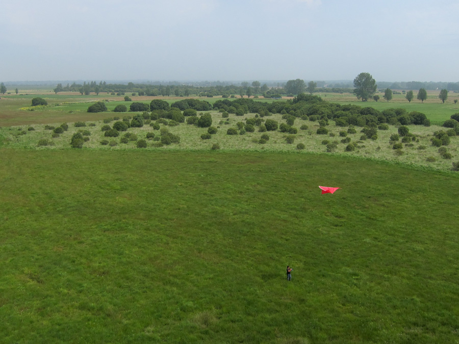
KAP dans les marais d'Auxais (50)

Morning Fog Emerging From Trees
"Abhängen"

Marais du Plessis-Lastelle (3612)
Marais de Carentan
Au Gabion - Marais de La Taute (2837)

Pano (2527-38)

River Vire, Normandy

Hotel de Ville
Chapelle Sainte Anne des marais à Gorges (Manche-FR)

Baupte - 2010-11 (7055)

dark skies and wheat fields
Playing with my camera
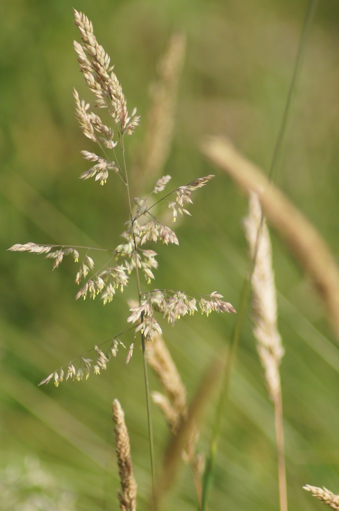
Grass seeds
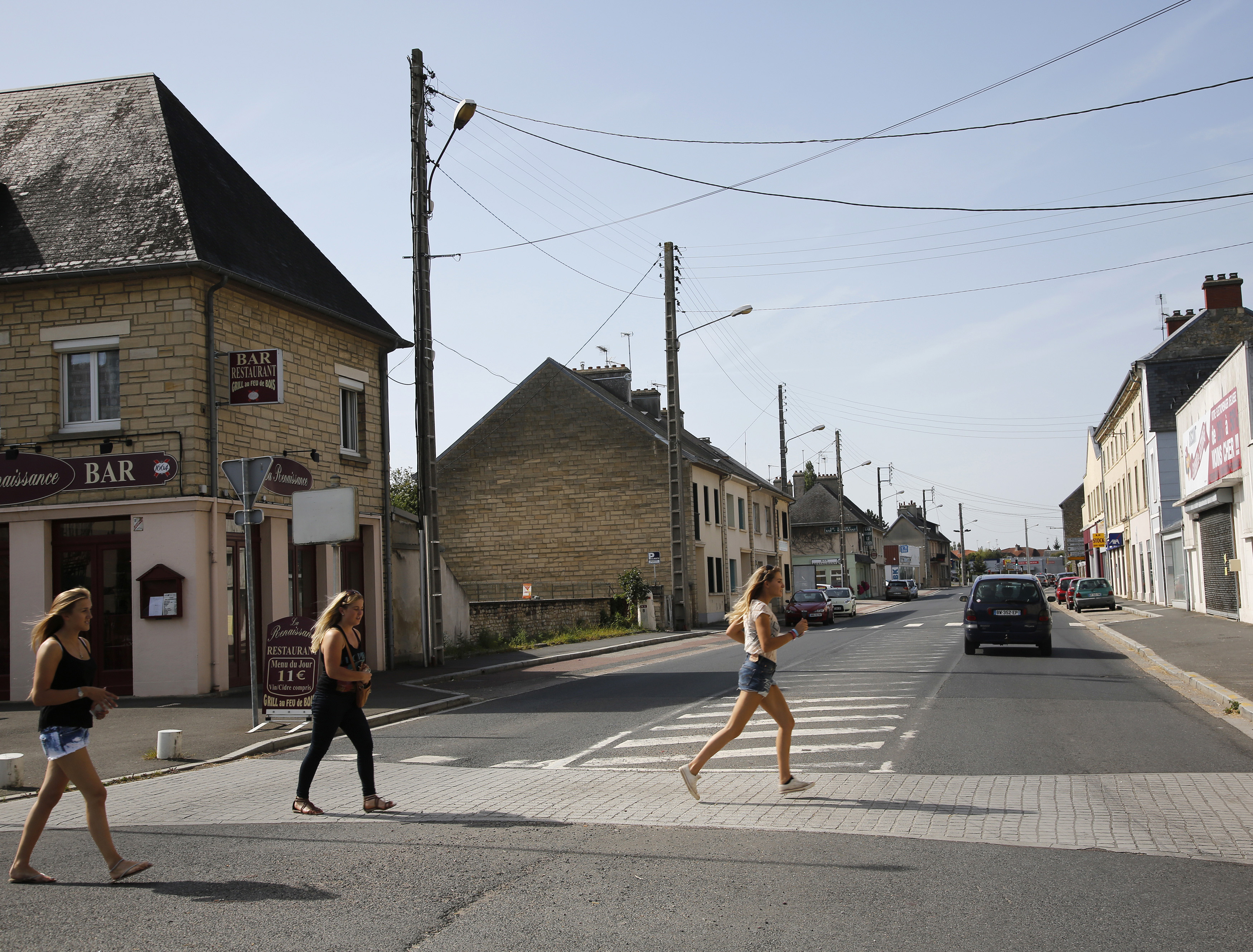
D-DAY - Rue Holgate and RN13, Carentan, 2013
Topographic Map of 2 La Ventinière, Marchésieux, France
Find elevation by address:

Places near 2 La Ventinière, Marchésieux, France:
Marchésieux
20b
Saint-christophe
Saint-martin-d'aubigny
Saint-sébastien-de-raids
4 La Percherie, Saint-Martin-d'Aubigny, France
10 Rue de Bohon, La Chapelle-en-Juger, France
Manche
10 Mille Diables, Saint-Sébastien-de-Raids, France
La Chapelle-en-juger
Le Dézert
12 Route du Château, Savigny, France
7 Le Village Lallemand, Le Dézert, France
Saint-gilles
Savigny
2 Coquet, La Meauffe, France
4 La Communette, Saint-Gilles, France
La Meauffe
Chemin de Lignerolles, Saint-Lô, France
Saint-samson-de-bonfossé
Recent Searches:
- Elevation of Leguwa, Nepal
- Elevation of County Rd, Enterprise, AL, USA
- Elevation of Kolchuginsky District, Vladimir Oblast, Russia
- Elevation of Shustino, Vladimir Oblast, Russia
- Elevation of Lampiasi St, Sarasota, FL, USA
- Elevation of Elwyn Dr, Roanoke Rapids, NC, USA
- Elevation of Congressional Dr, Stevensville, MD, USA
- Elevation of Bellview Rd, McLean, VA, USA
- Elevation of Stage Island Rd, Chatham, MA, USA
- Elevation of Shibuya Scramble Crossing, 21 Udagawacho, Shibuya City, Tokyo -, Japan