Elevation of Main St, Cynthiana, IN, USA
Location: United States > Indiana > Posey County > Smith Township > Cynthiana >
Longitude: -87.710246
Latitude: 38.187689
Elevation: 146m / 479feet
Barometric Pressure: 100KPa
Elevation Map:
Satellite Map:
Related Photos:

Tank

Tree Field HDR1

UP 6204 CSX Q234 Ft Branch IN 15 Mar 2015

Indiana sunset
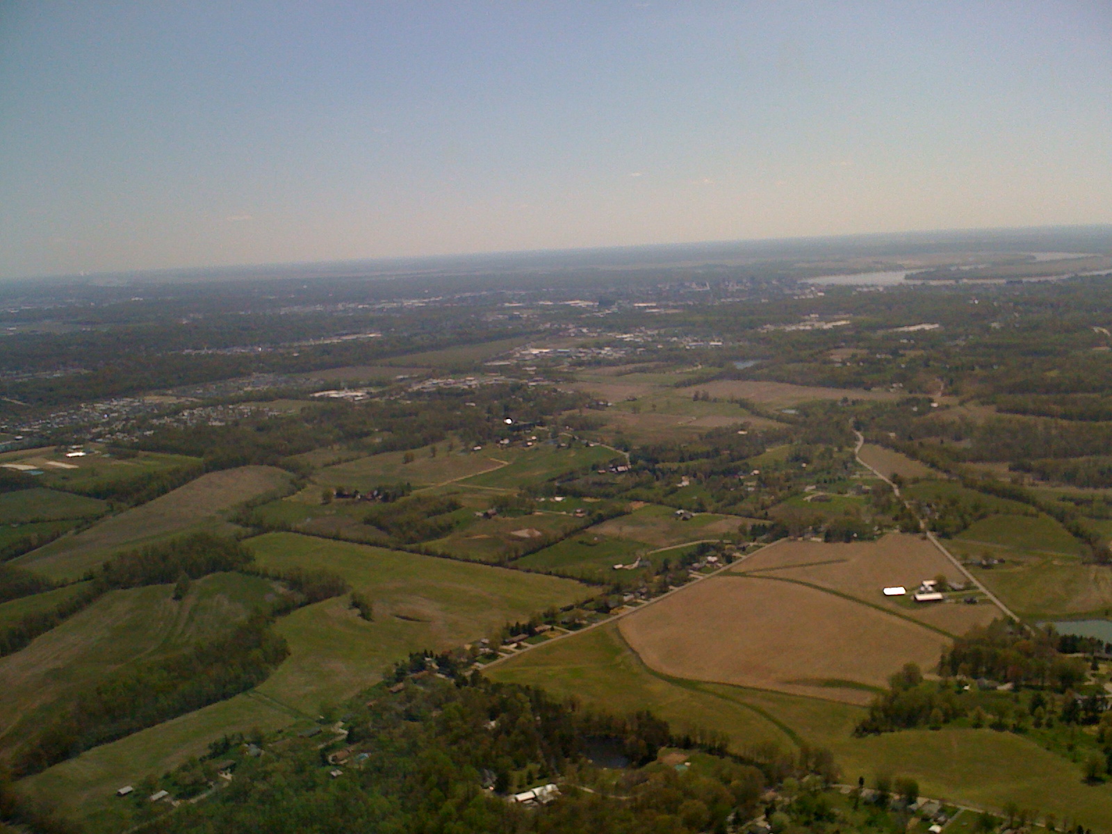
Day 2 Leg 6 Evansville IN 1226a
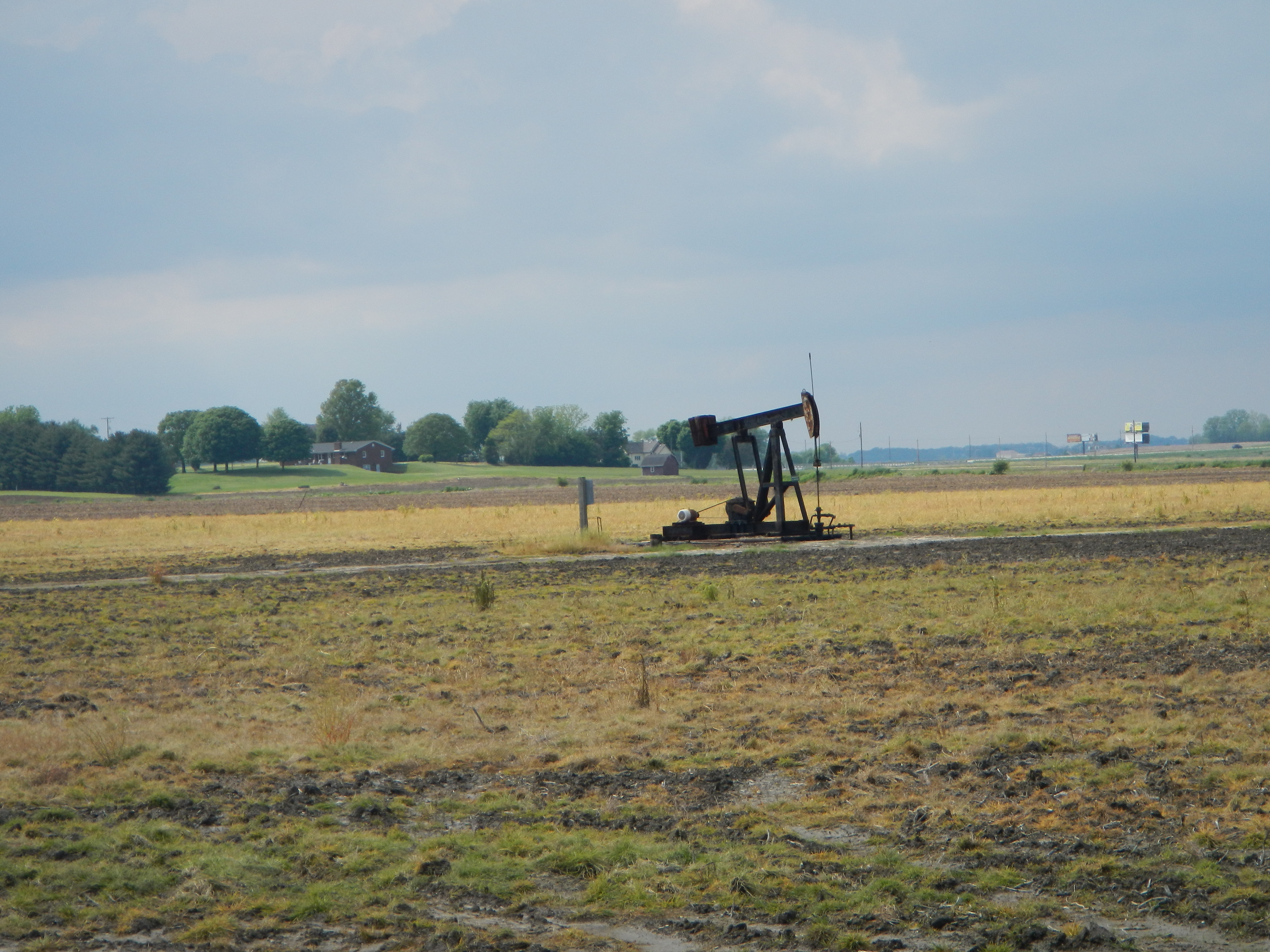
Pump jack

2013-06-08 12.54.41

Amber waves of grain and whatnot #indiana #haubstadt #rurallife #rural #farming #farm #field #country #simplebeauty

Vesper Sparrow 10-30-2016

Cross country trip

Indiana, Vanderburgh County
Topographic Map of Main St, Cynthiana, IN, USA
Find elevation by address:

Places near Main St, Cynthiana, IN, USA:
Cynthiana
9 IN-65, Cynthiana, IN, USA
Smith Township
Montgomery Township
5 E Main St, Poseyville, IN, USA
Poseyville
County Line Rd, Wadesville, IN, USA
Owensville
Big Cynthiana Rd, Evansville, IN, USA
County Rd, Owensville, IN, USA
Wadesville
9209 County Rd 250 N
Robb Township
Center Township
IN-68, Poseyville, IN, USA
Haubstadt
E Gibson St, Haubstadt, IN, USA
Robinson Township
Johnson Township
N West St, Fort Branch, IN, USA
Recent Searches:
- Elevation of Kootenai Trail Rd, Bonners Ferry, ID, USA
- Elevation of Hickory Blvd, Bonita Springs, FL, USA
- Elevation of Lalagbene, Bayelsa, Nigeria
- Elevation of Ogbosuware Health Centre, 2WWJ+4PJ, Lalagbene, Bayelsa, Nigeria
- Elevation of Duckhorn Ct, Las Vegas, NV, USA
- Elevation of Garretts Run Rd, Ford City, PA, USA
- Elevation of N WI-55, Freedom, WI, USA
- Elevation map of Hadiya, Ethiopia
- Elevation of Hosaina, Ethiopia
- Elevation of Verde Terrace, North Port, FL, USA