Elevation of Montgomery Township, IN, USA
Location: United States > Indiana > Gibson County >
Longitude: -87.736960
Latitude: 38.2526641
Elevation: 135m / 443feet
Barometric Pressure: 100KPa
Elevation Map:
Satellite Map:
Related Photos:

Christian Church and Parsonage, Poseyville, Indiana

Main Street, Poseyville, Indiana
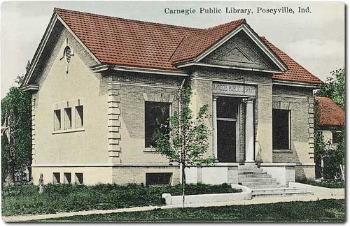
Carnegie Public Library, Poseyville, Indiana

Merlin Cane Ridge 02-07-2013

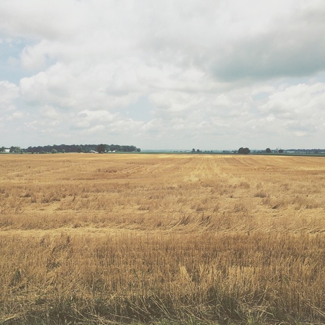
Tree Field HDR1
Duke Energy’s wetlands

UP 6204 CSX Q234 Ft Branch IN 15 Mar 2015
Bonnie GSP

2013-06-08 12.54.41

Duke Energy’s wetlands
Amber waves of grain and whatnot #indiana #haubstadt #rurallife #rural #farming #farm #field #country #simplebeauty

Indiana, Vanderburgh County

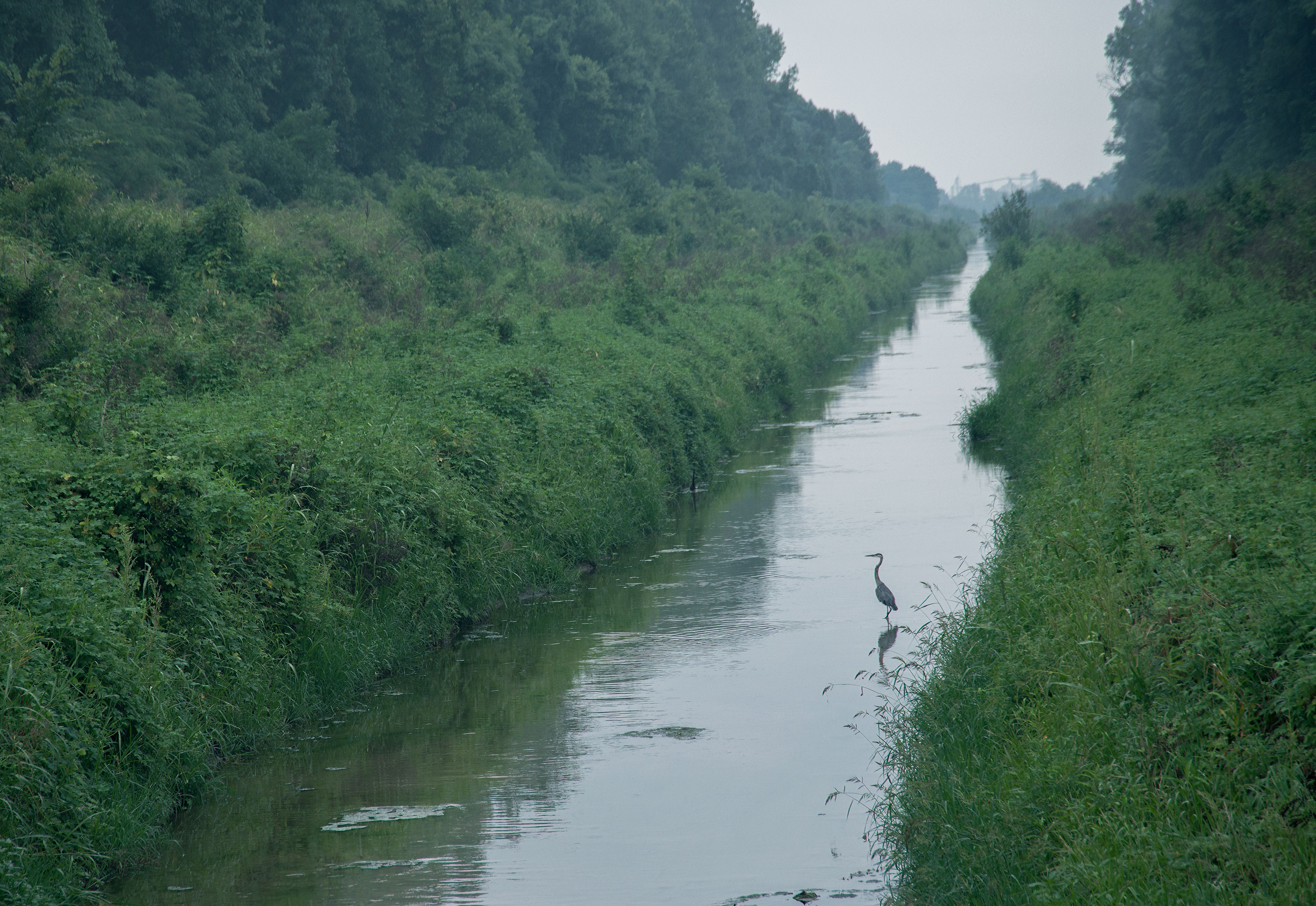
Hossland Marsh

HOSSLAND MARSH
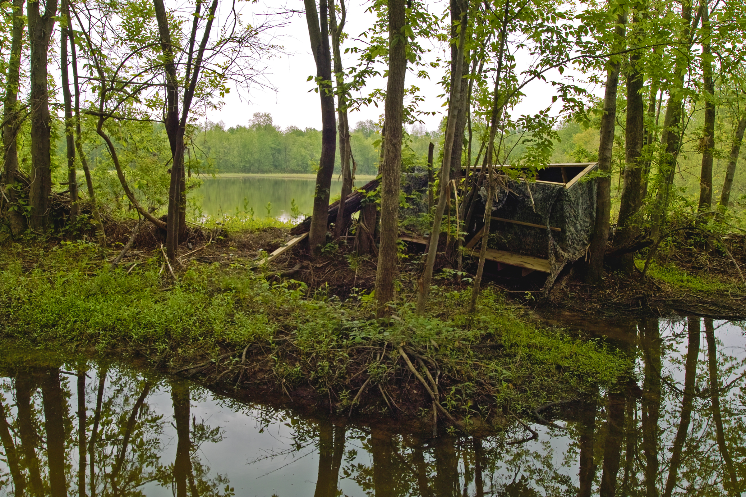
Hossland Marsh

Hossland Marsh
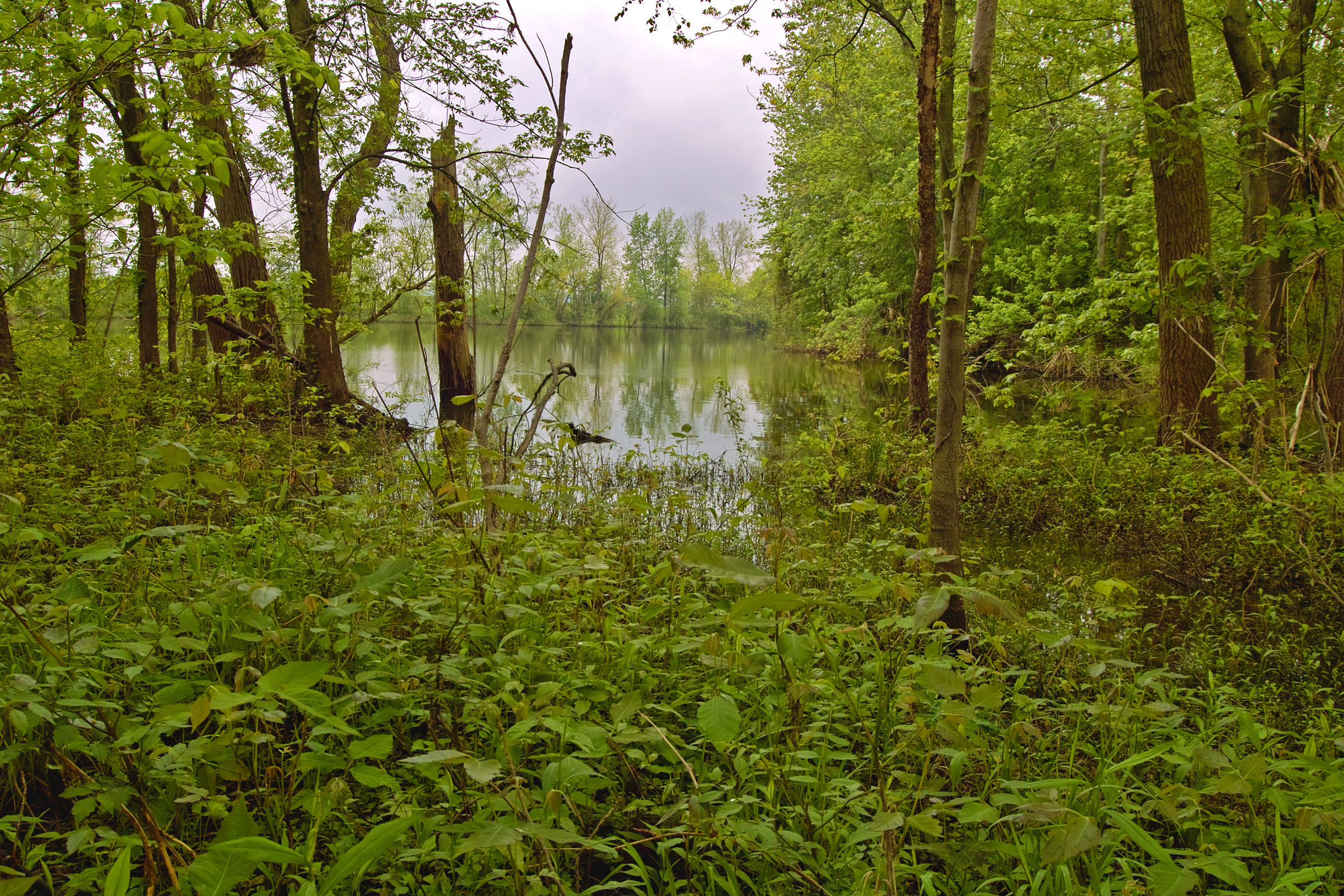
Hossland Marsh

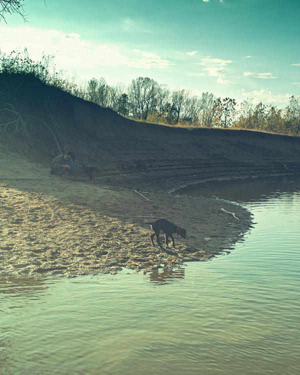
On the Banks
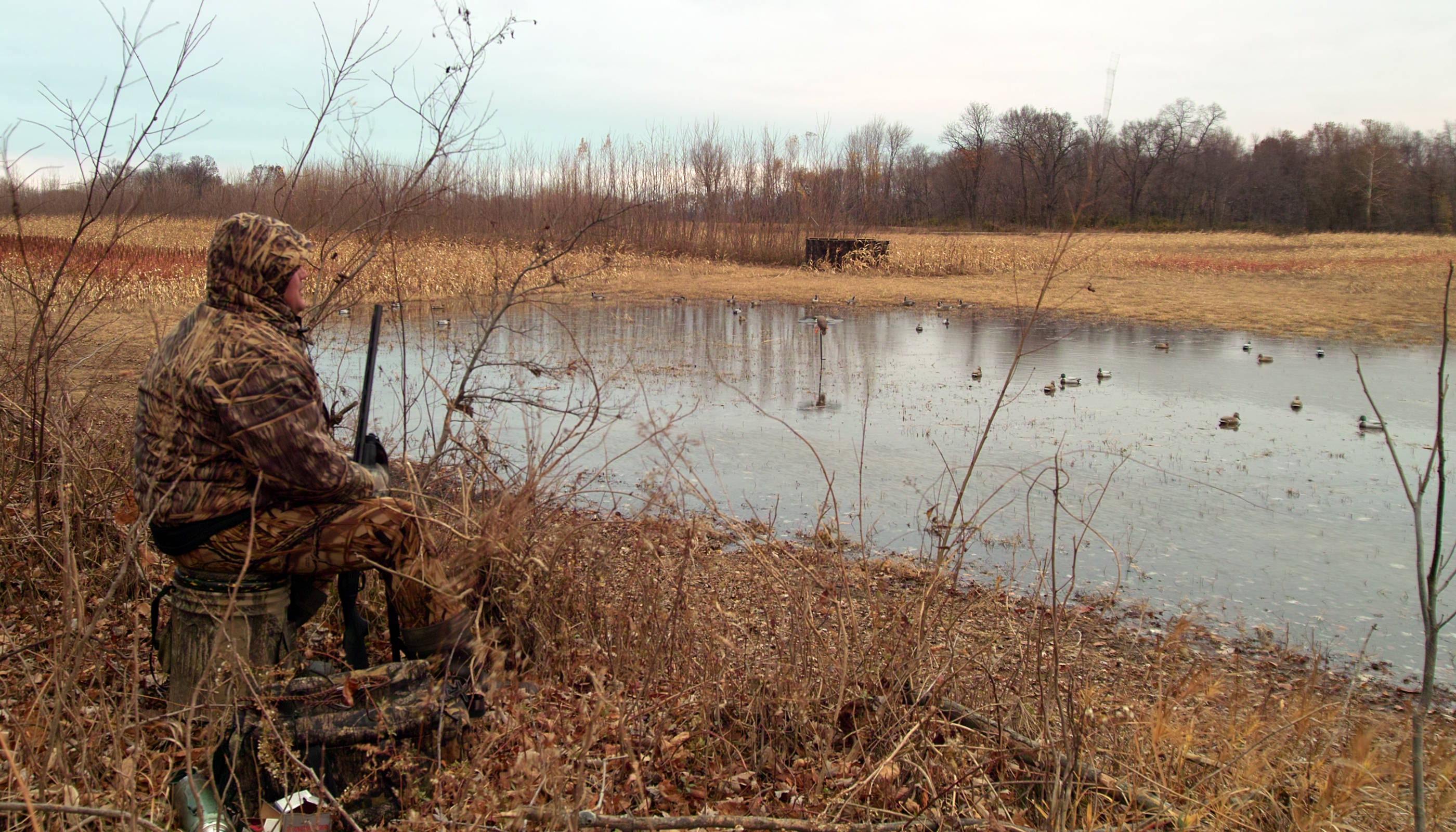
Hossland Marsh

Hossland Marsh
Topographic Map of Montgomery Township, IN, USA
Find elevation by address:

Places in Montgomery Township, IN, USA:
Places near Montgomery Township, IN, USA:
Owensville
9 IN-65, Cynthiana, IN, USA
Main St, Cynthiana, IN, USA
Cynthiana
5 E Main St, Poseyville, IN, USA
Poseyville
Smith Township
County Rd, Owensville, IN, USA
Robb Township
513 S Pinewiew Dr
IN-68, Poseyville, IN, USA
County Line Rd, Wadesville, IN, USA
Fort Branch
N West St, Fort Branch, IN, USA
203 N Cherry St
Wadesville
Mount Carmel
Mount Carmel
Silver Spur Splat Paintball Field
Haubstadt
Recent Searches:
- Elevation of Elwyn Dr, Roanoke Rapids, NC, USA
- Elevation of Congressional Dr, Stevensville, MD, USA
- Elevation of Bellview Rd, McLean, VA, USA
- Elevation of Stage Island Rd, Chatham, MA, USA
- Elevation of Shibuya Scramble Crossing, 21 Udagawacho, Shibuya City, Tokyo -, Japan
- Elevation of Jadagoniai, Kaunas District Municipality, Lithuania
- Elevation of Pagonija rock, Kranto 7-oji g. 8"N, Kaunas, Lithuania
- Elevation of Co Rd 87, Jamestown, CO, USA
- Elevation of Tenjo, Cundinamarca, Colombia
- Elevation of Côte-des-Neiges, Montreal, QC H4A 3J6, Canada