Elevation of Johnson Township, IN, USA
Location: United States > Indiana > Gibson County >
Longitude: -87.569246
Latitude: 38.1965816
Elevation: 141m / 463feet
Barometric Pressure: 100KPa
Elevation Map:
Satellite Map:
Related Photos:

The view from my reading tree

Checkin the view

fishin'
ISRR 3371 Buckskin IN 24 Aug 2013

Cross country trip

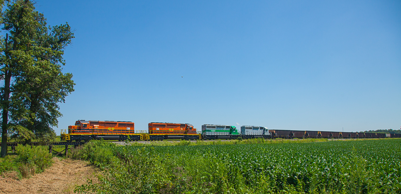
UP 6204 CSX Q234 Ft Branch IN 15 Mar 2015

Indiana sunset

My front yard
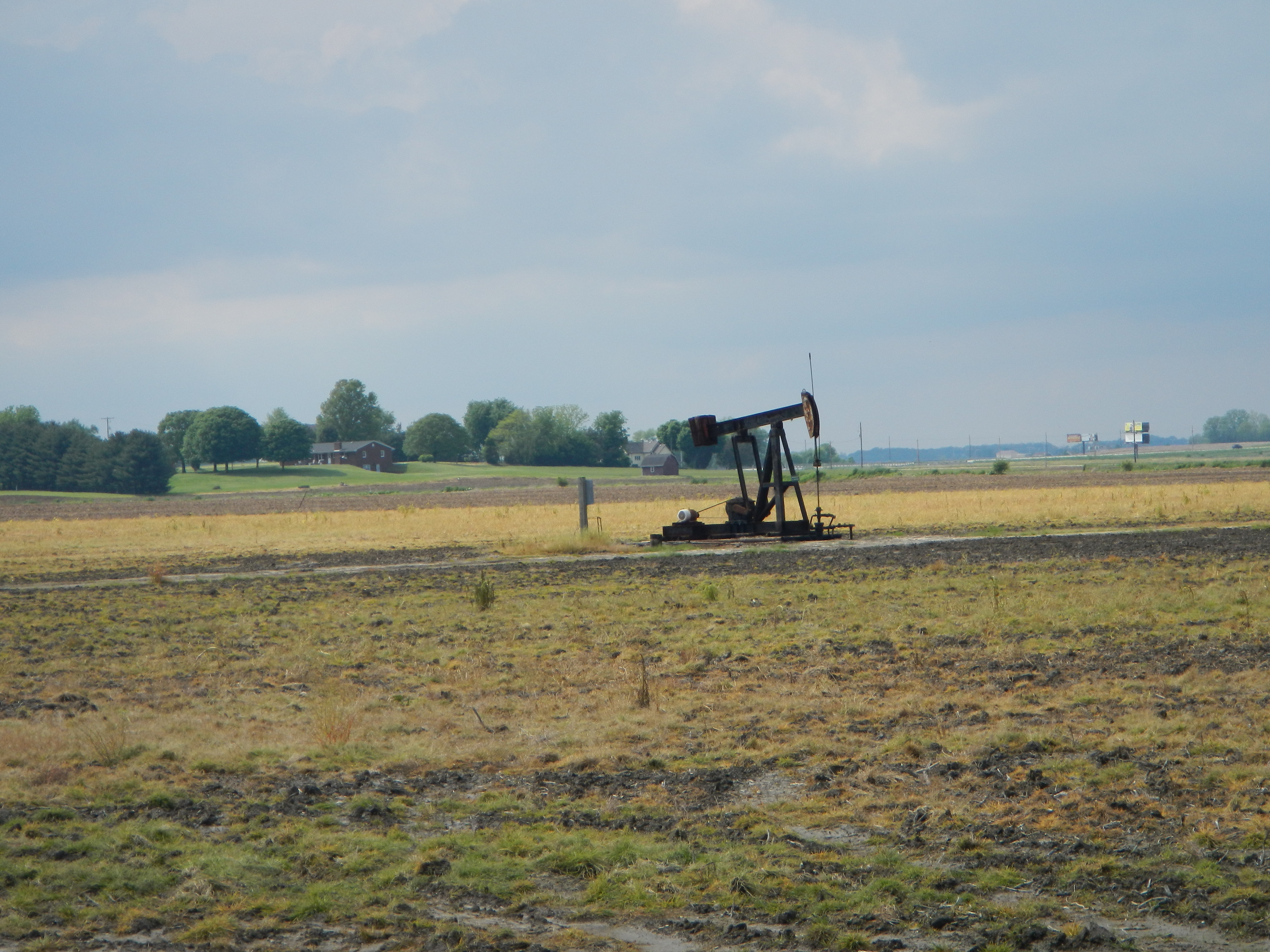
Pump jack

2013-06-08 12.54.41

Yellow Poppies
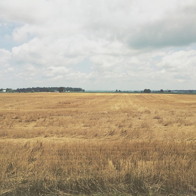
Amber waves of grain and whatnot #indiana #haubstadt #rurallife #rural #farming #farm #field #country #simplebeauty

Sunset in June

Indiana, Vanderburgh County

Gibson County, Indiana

Clouds at Dusk

Bluegrass Sunrise 02
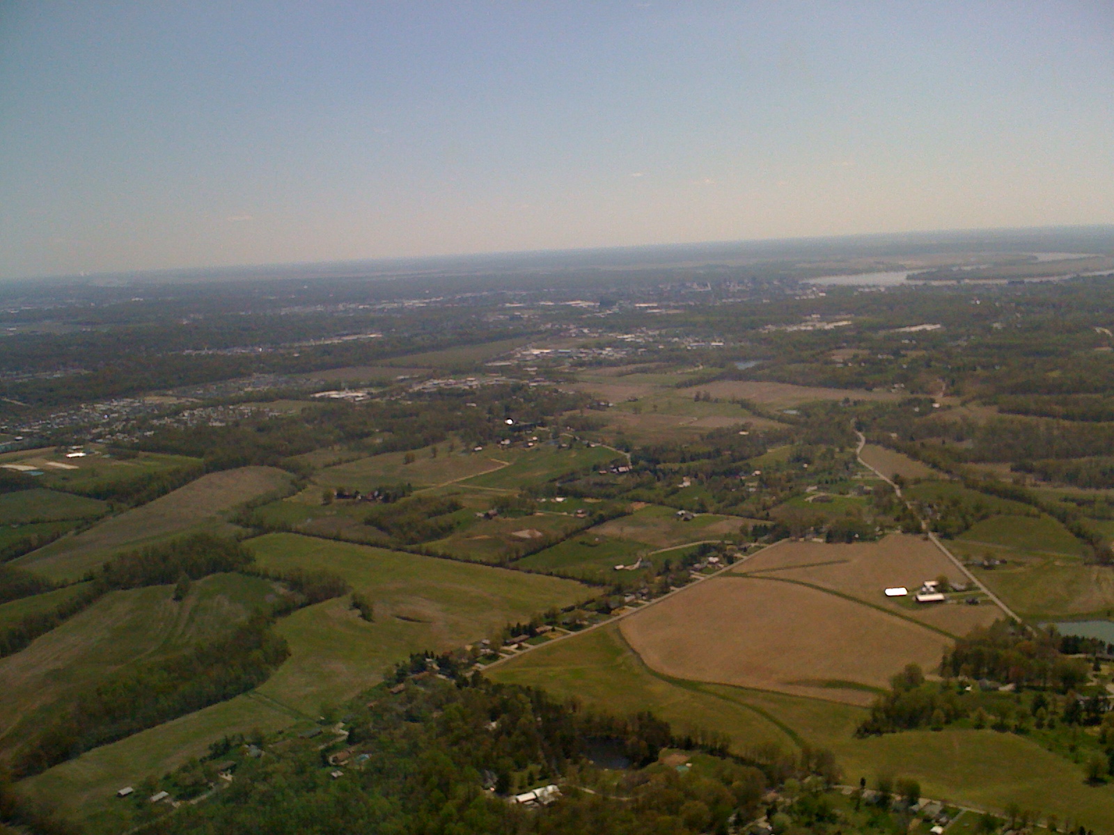
Day 2 Leg 6 Evansville IN 1226a
Topographic Map of Johnson Township, IN, USA
Find elevation by address:

Places in Johnson Township, IN, USA:
Places near Johnson Township, IN, USA:
E Gibson St, Haubstadt, IN, USA
Haubstadt
Warrenton Rd, Haubstadt, IN, USA
N West St, Fort Branch, IN, USA
Fort Branch
Scott Township
County Rd, Owensville, IN, USA
Co Rd S, Princeton, IN, USA
2131 E Boonville-new Harmony Rd
Vanderburgh County
Big Cynthiana Rd, Evansville, IN, USA
12431 Kenai Dr
5501 Foundation Blvd
Petersburg Rd, Evansville, IN, USA
9 IN-65, Cynthiana, IN, USA
Elberfeld
Gibson County
Patoka Township
Petersburg Rd, Evansville, IN, USA
Owensville
Recent Searches:
- Elevation of Elwyn Dr, Roanoke Rapids, NC, USA
- Elevation of Congressional Dr, Stevensville, MD, USA
- Elevation of Bellview Rd, McLean, VA, USA
- Elevation of Stage Island Rd, Chatham, MA, USA
- Elevation of Shibuya Scramble Crossing, 21 Udagawacho, Shibuya City, Tokyo -, Japan
- Elevation of Jadagoniai, Kaunas District Municipality, Lithuania
- Elevation of Pagonija rock, Kranto 7-oji g. 8"N, Kaunas, Lithuania
- Elevation of Co Rd 87, Jamestown, CO, USA
- Elevation of Tenjo, Cundinamarca, Colombia
- Elevation of Côte-des-Neiges, Montreal, QC H4A 3J6, Canada