Elevation of Mélisey, France
Location: France > Bourgogne-franche-comté > Haute-saône >
Longitude: 6.580903
Latitude: 47.753853
Elevation: 333m / 1093feet
Barometric Pressure: 97KPa
Elevation Map:
Satellite Map:
Related Photos:
Free at Last

Chapelle Notre-Dame-du-Haut de Ronchamp - Glasswindows
Snow Covered Stone

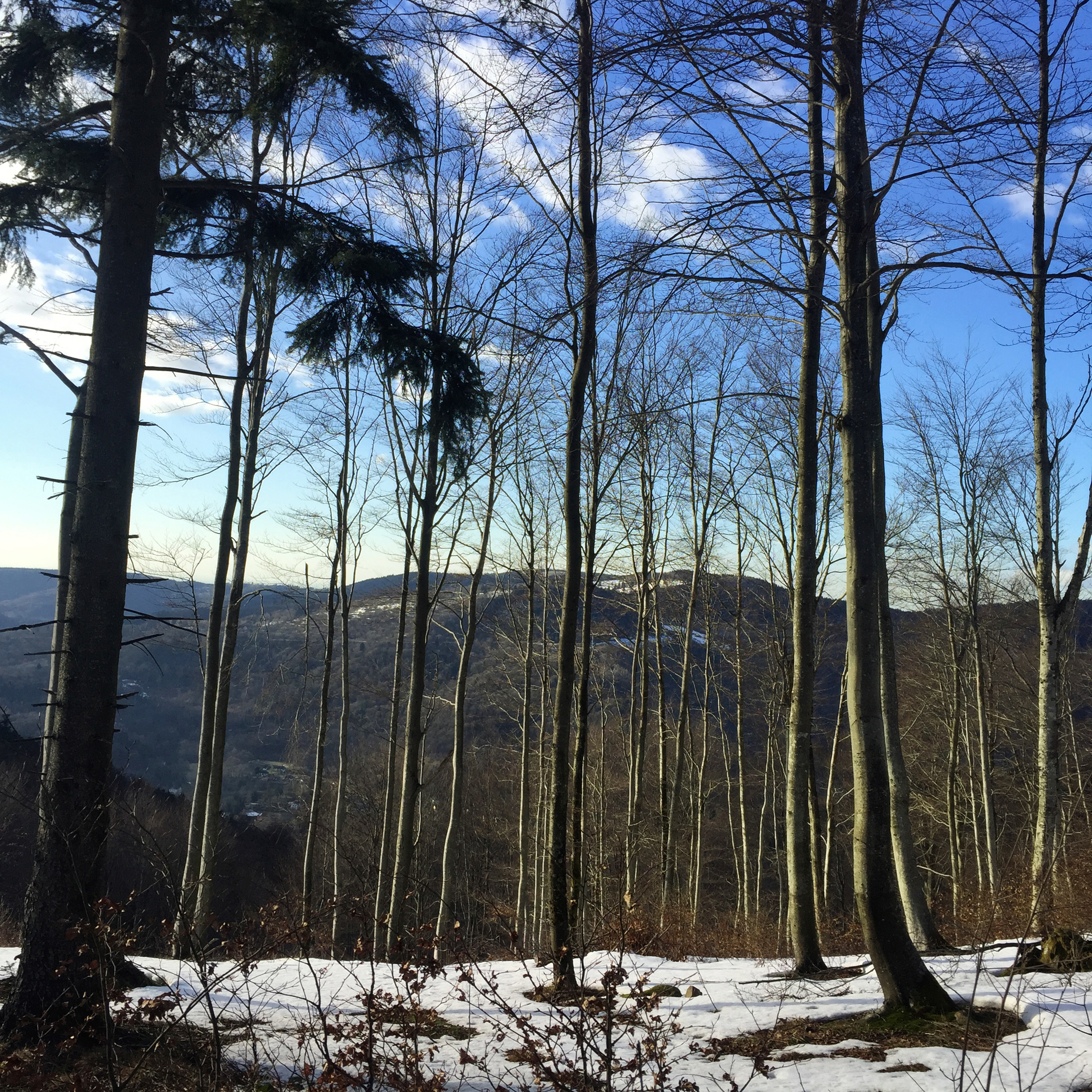
alpine view
Snow Peaked Flowers
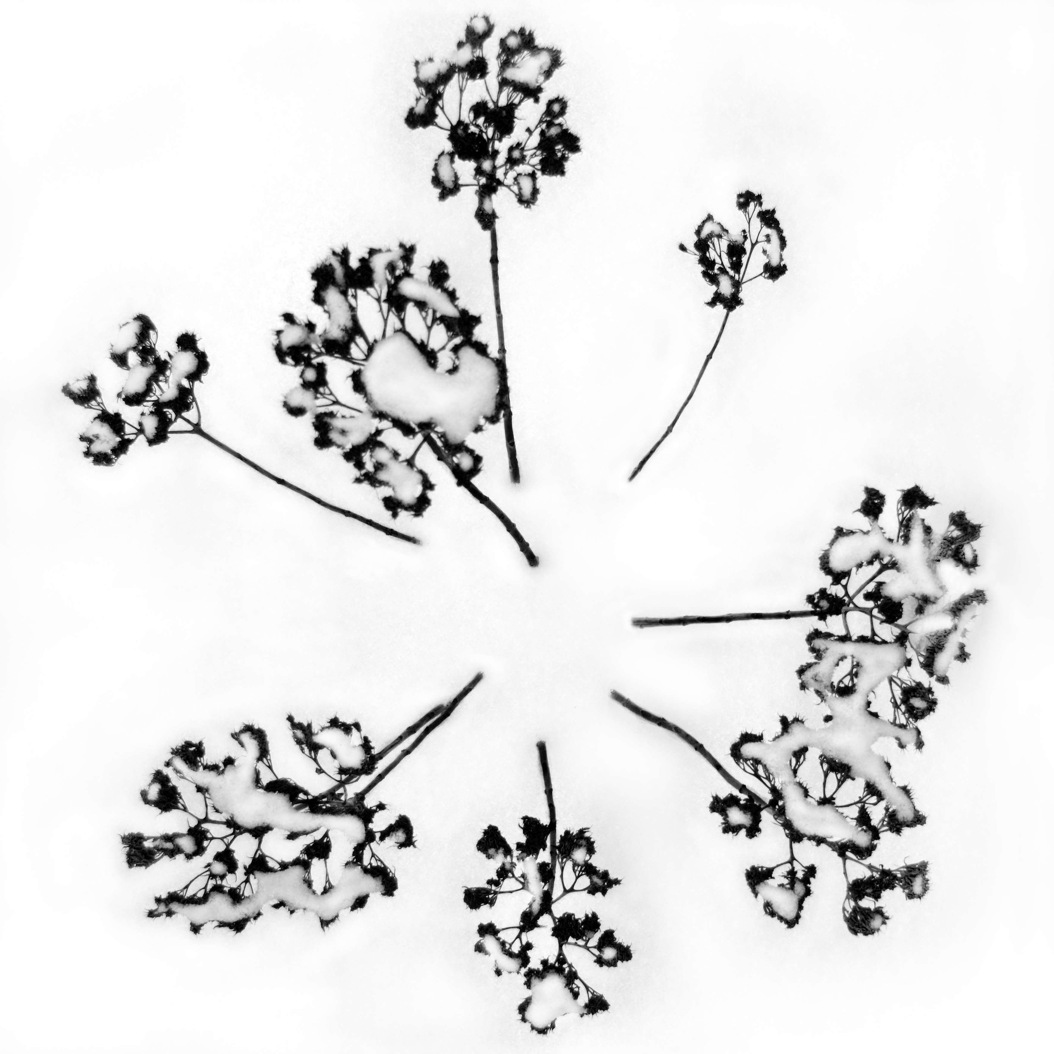
Snow Flower III
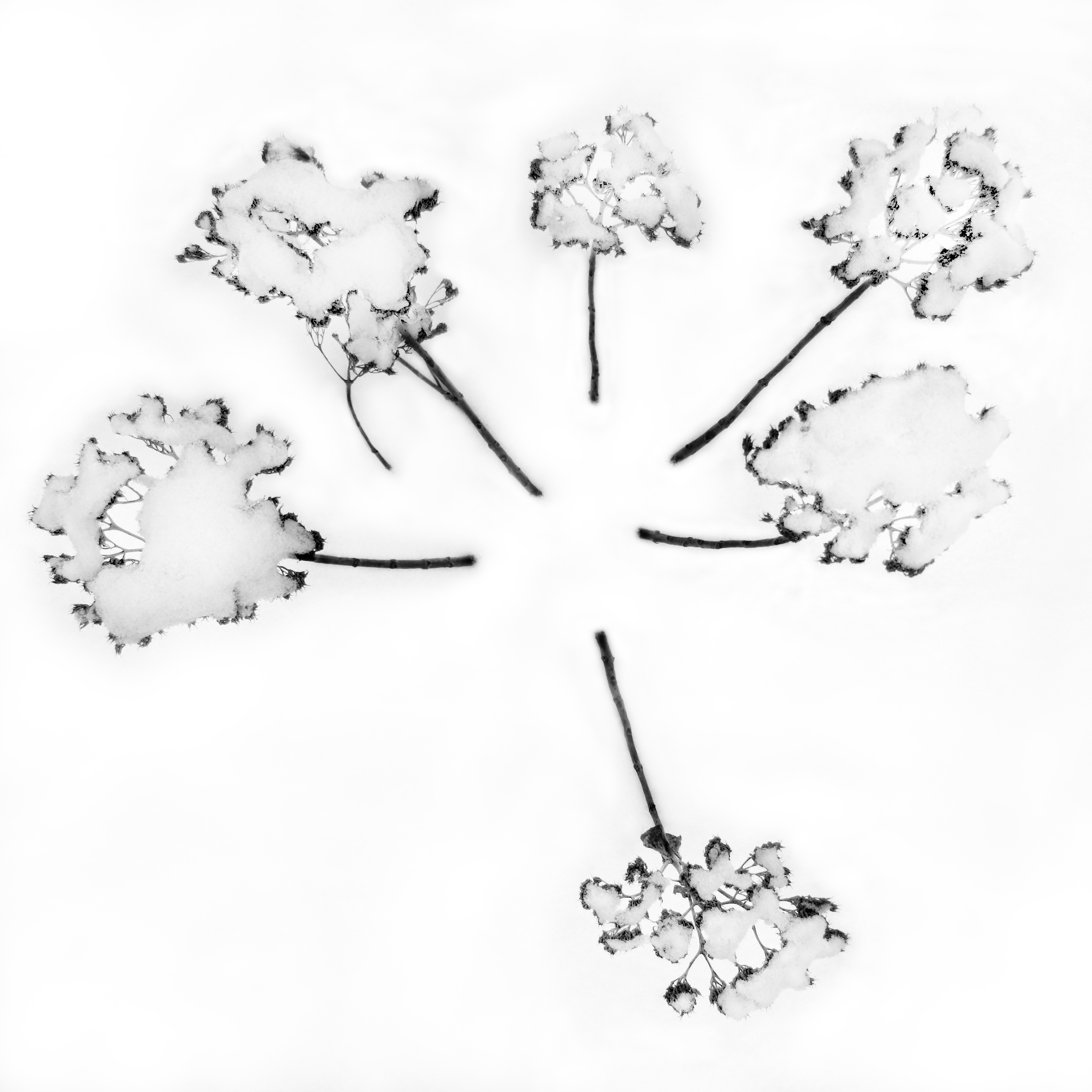
Snow Flower I
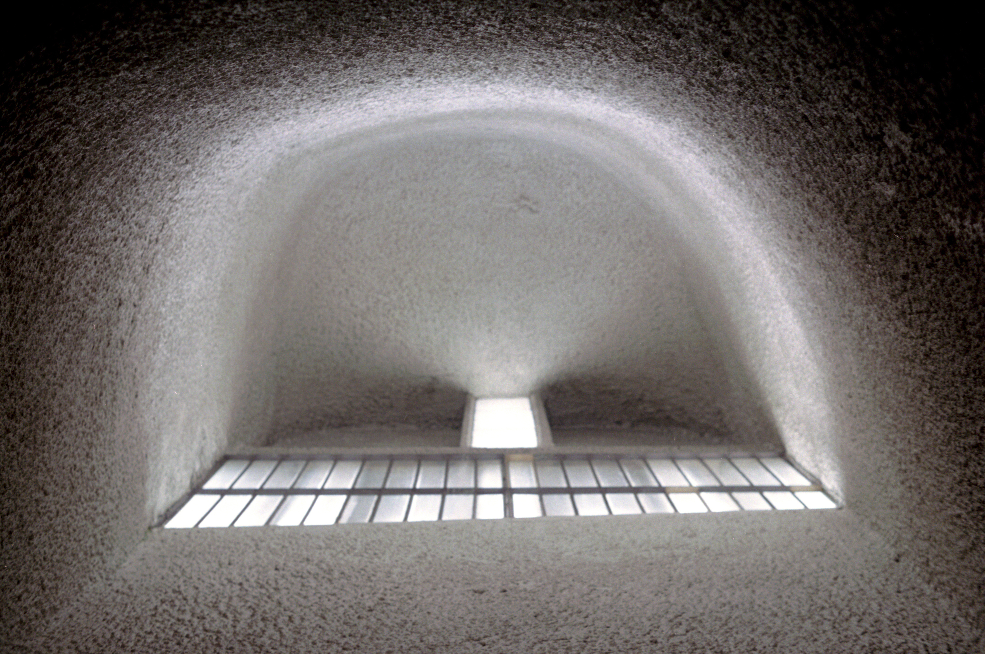
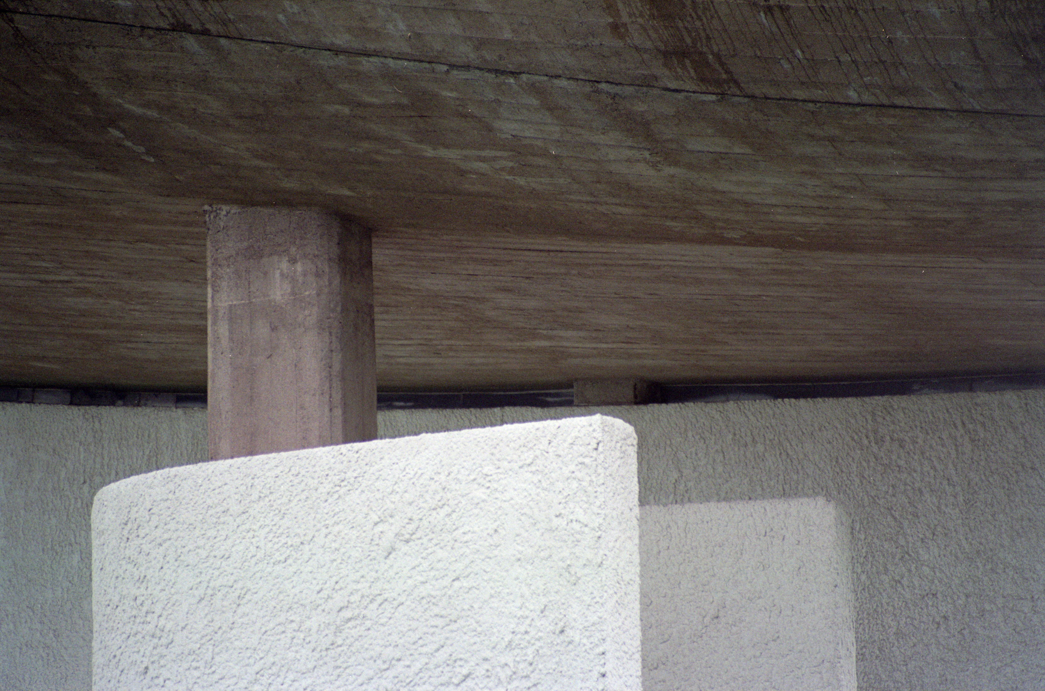
ronchamp 9 - interior view of white face
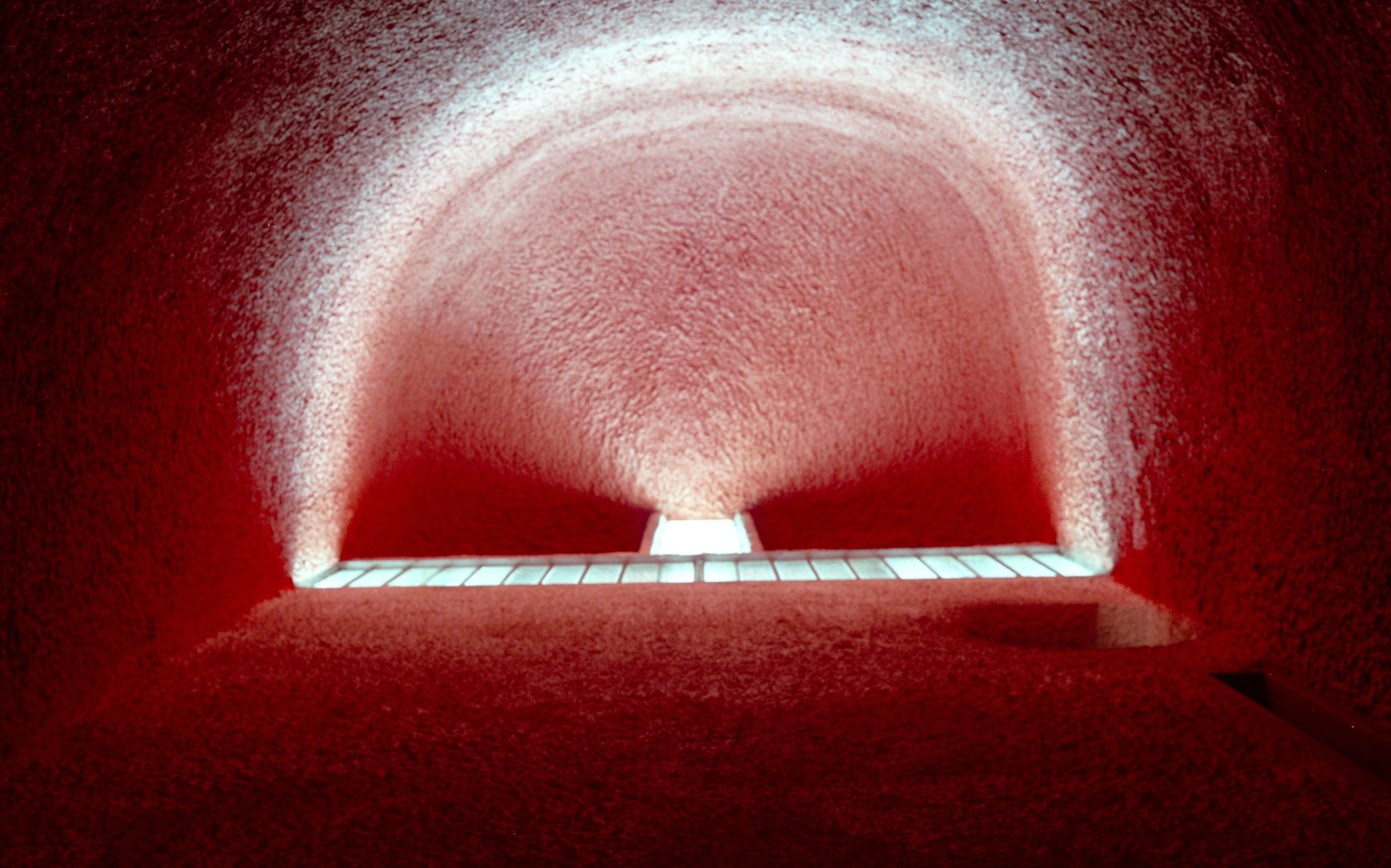
ronchamp 10 - interior view of red face
ronchamp 2 - view from photo op spot

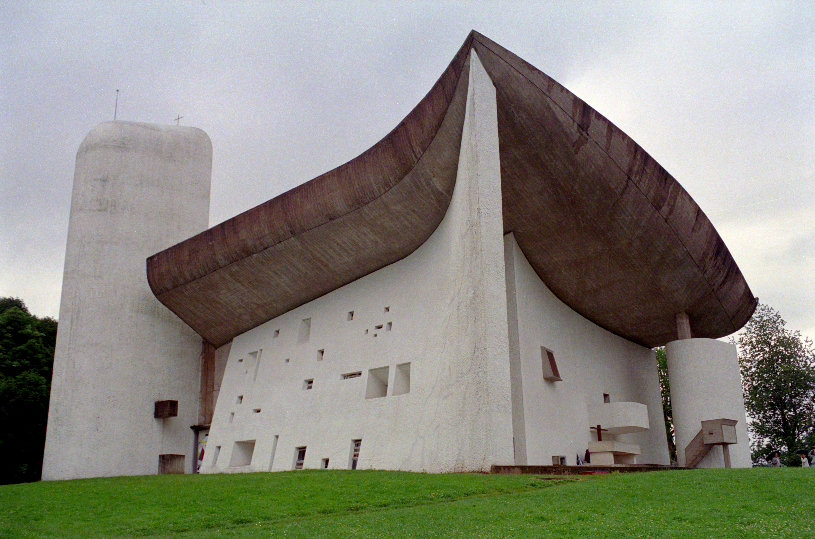
La Chapelle de Ronchamp
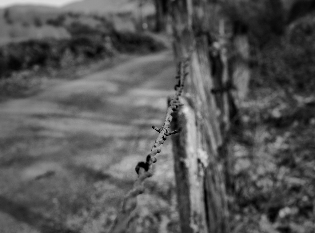
FRIDAY'S FENCE
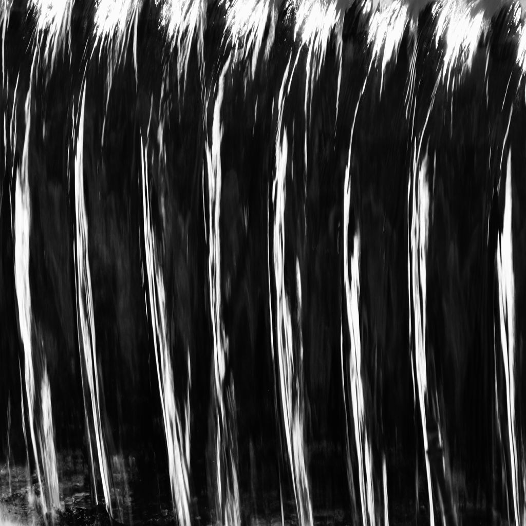
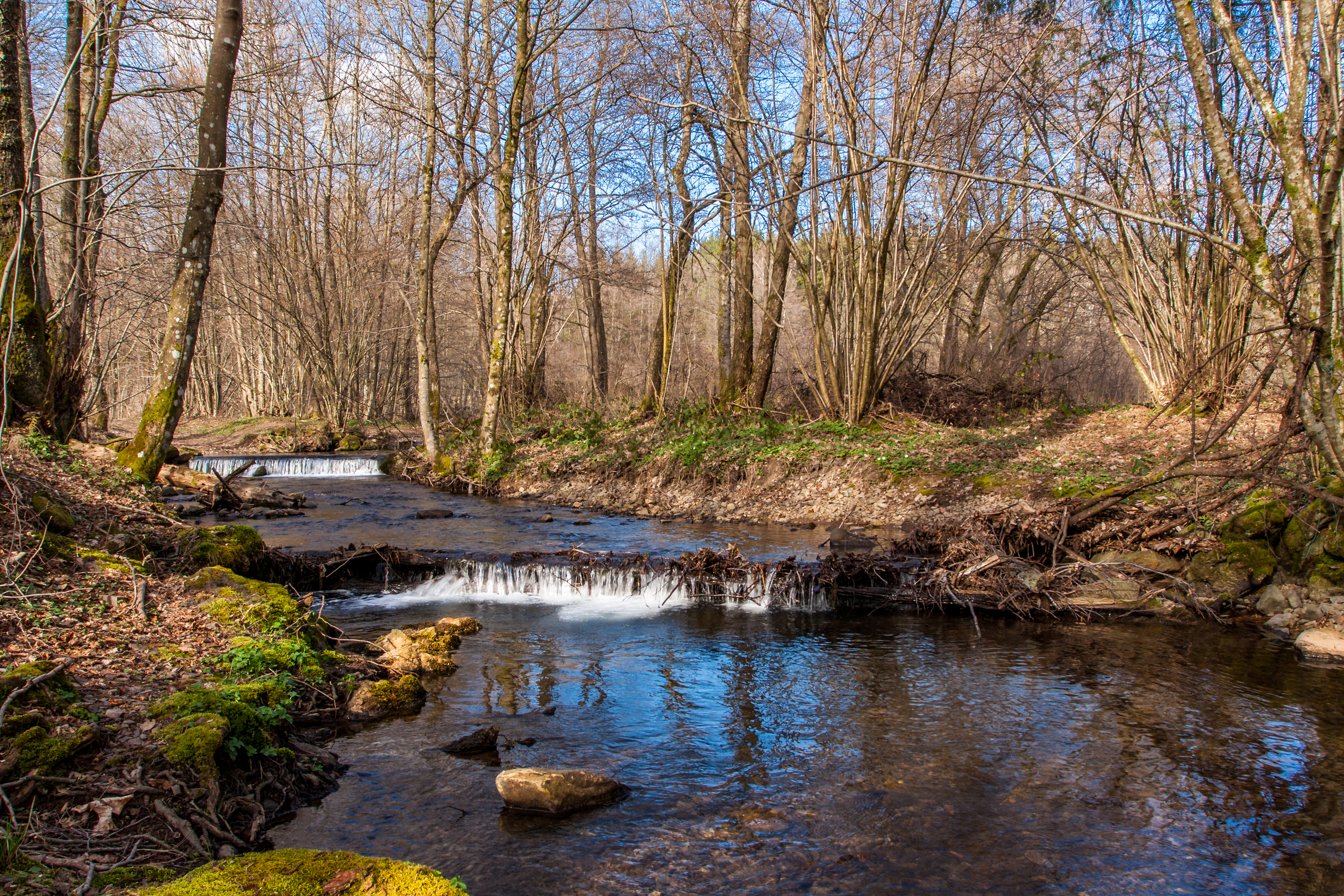
WaterFall I
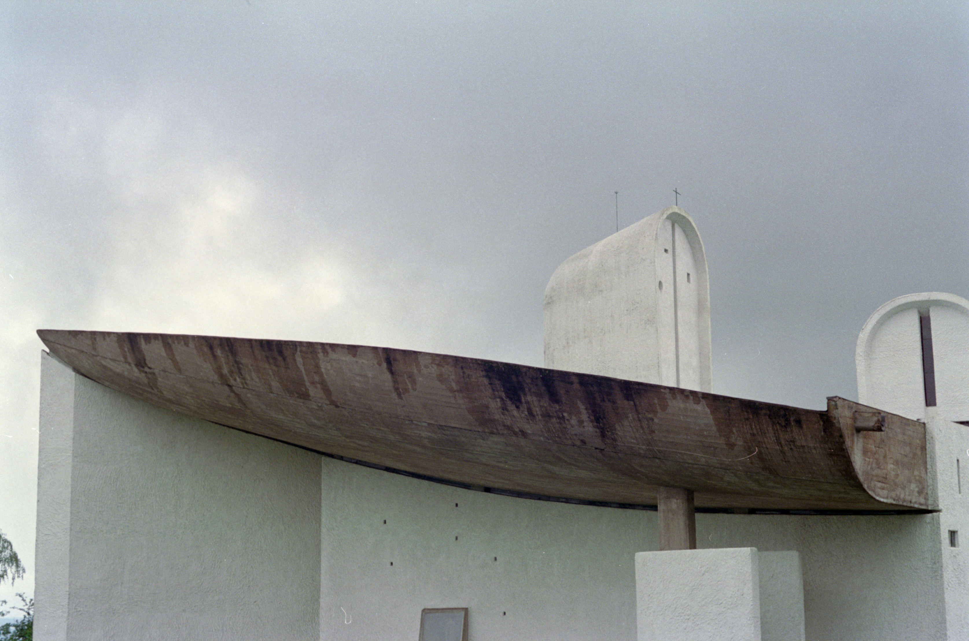
ronchamp 4 - roof boat view from pyramid 1
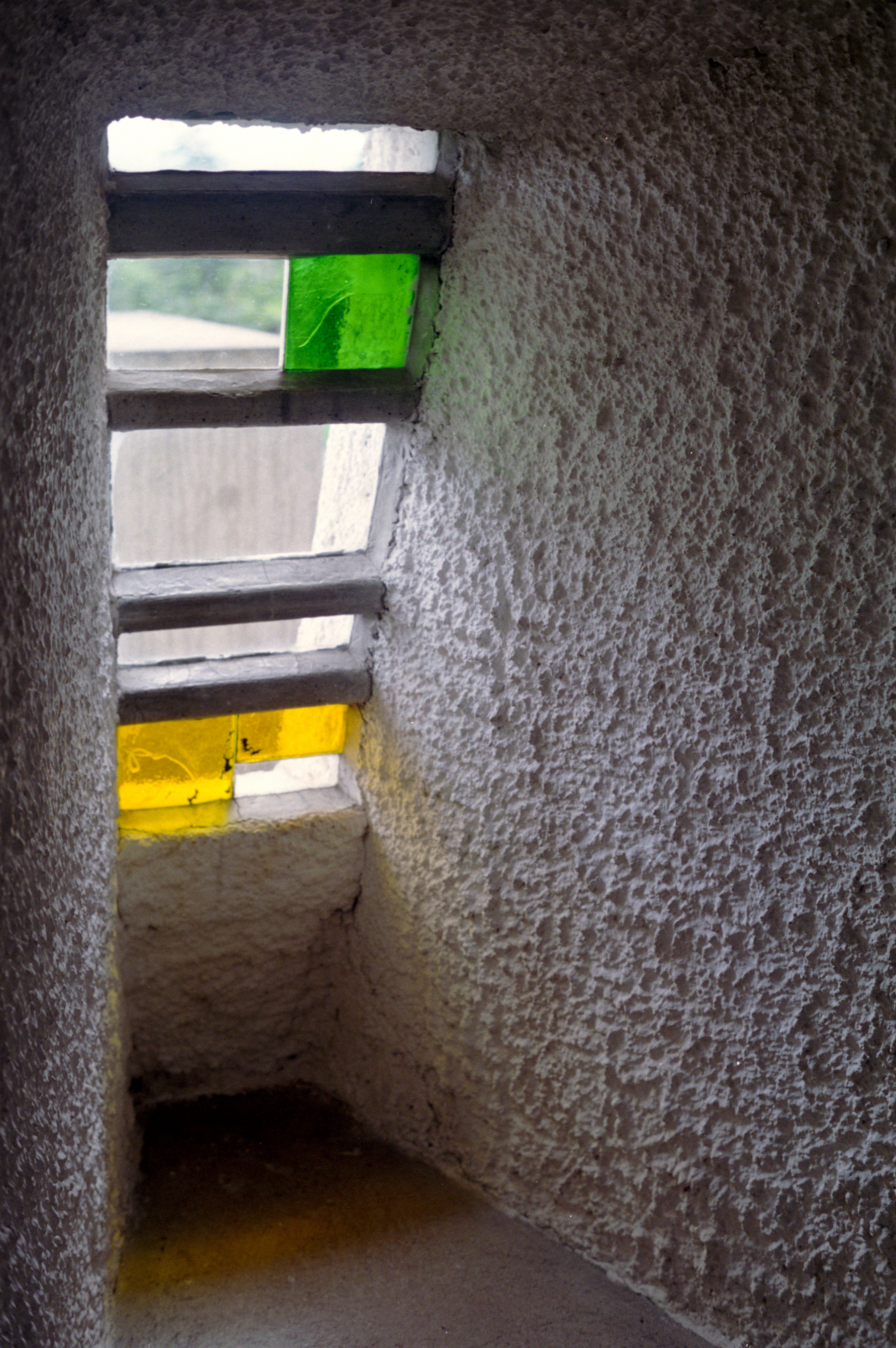
ronchamp 8 - interior view of window
Snow Flower II
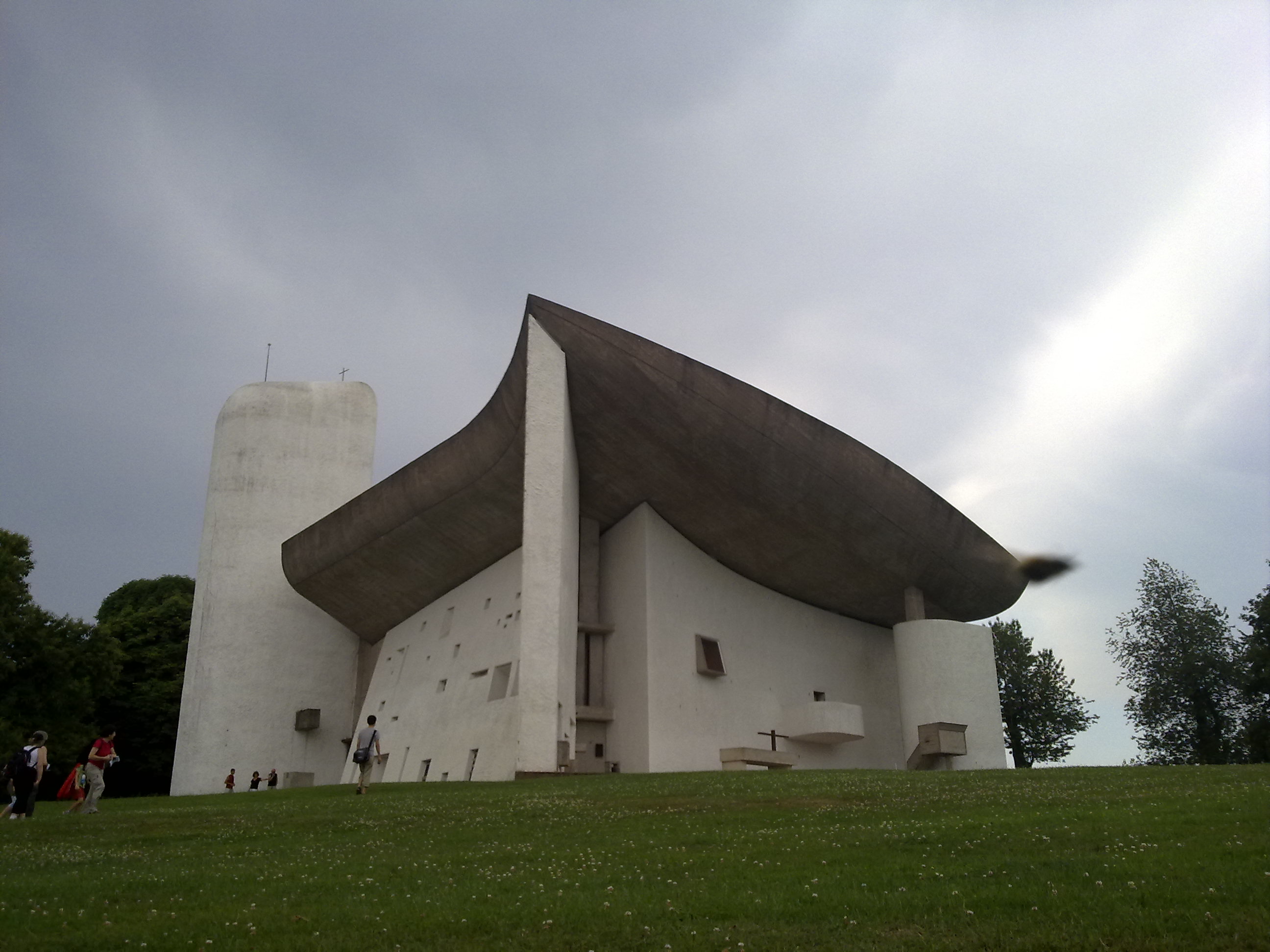
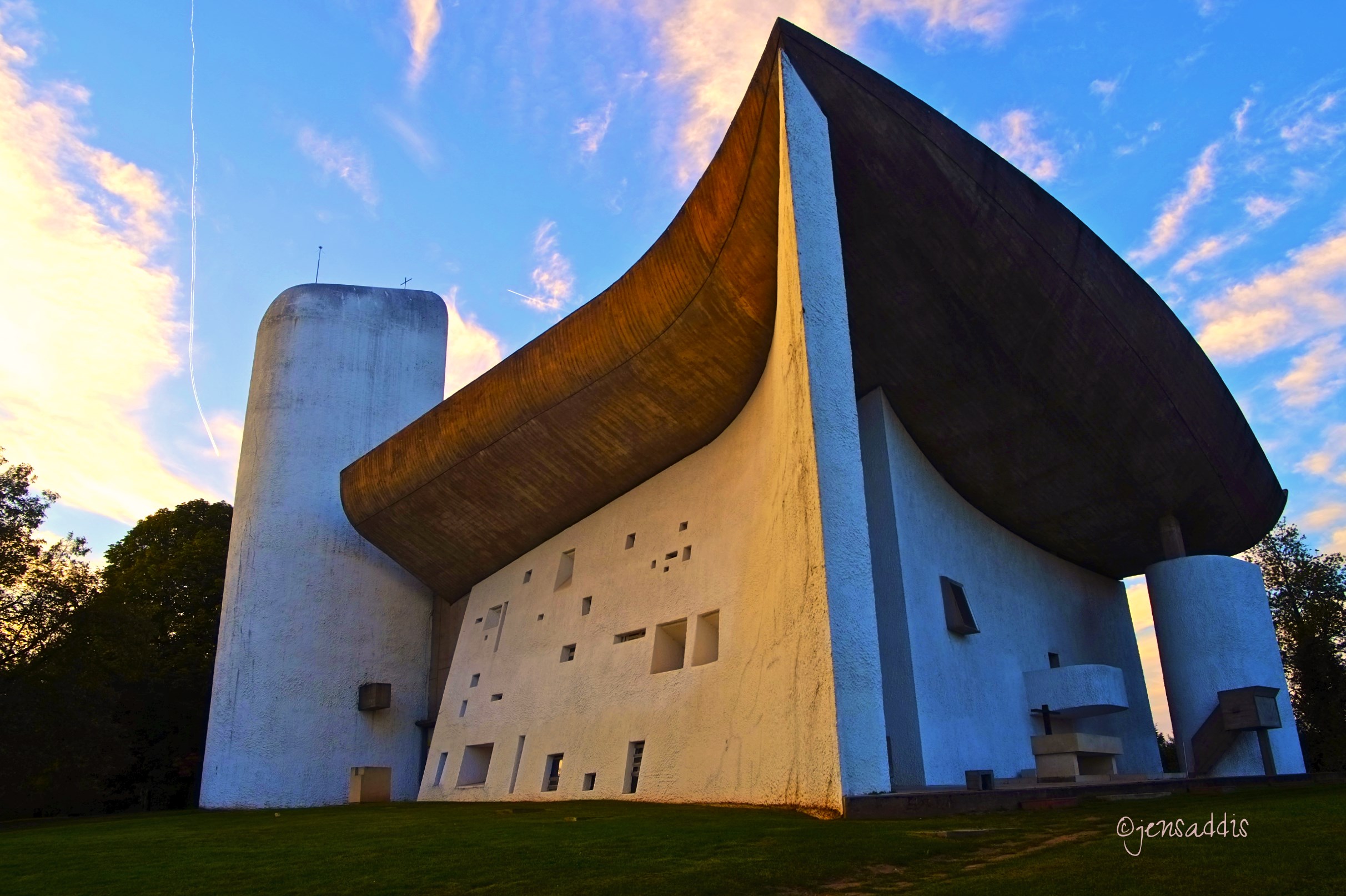
Ronchamp Classic View
ronchamp 5 - roof boat view from pyramid 2

opposite " le chateau"
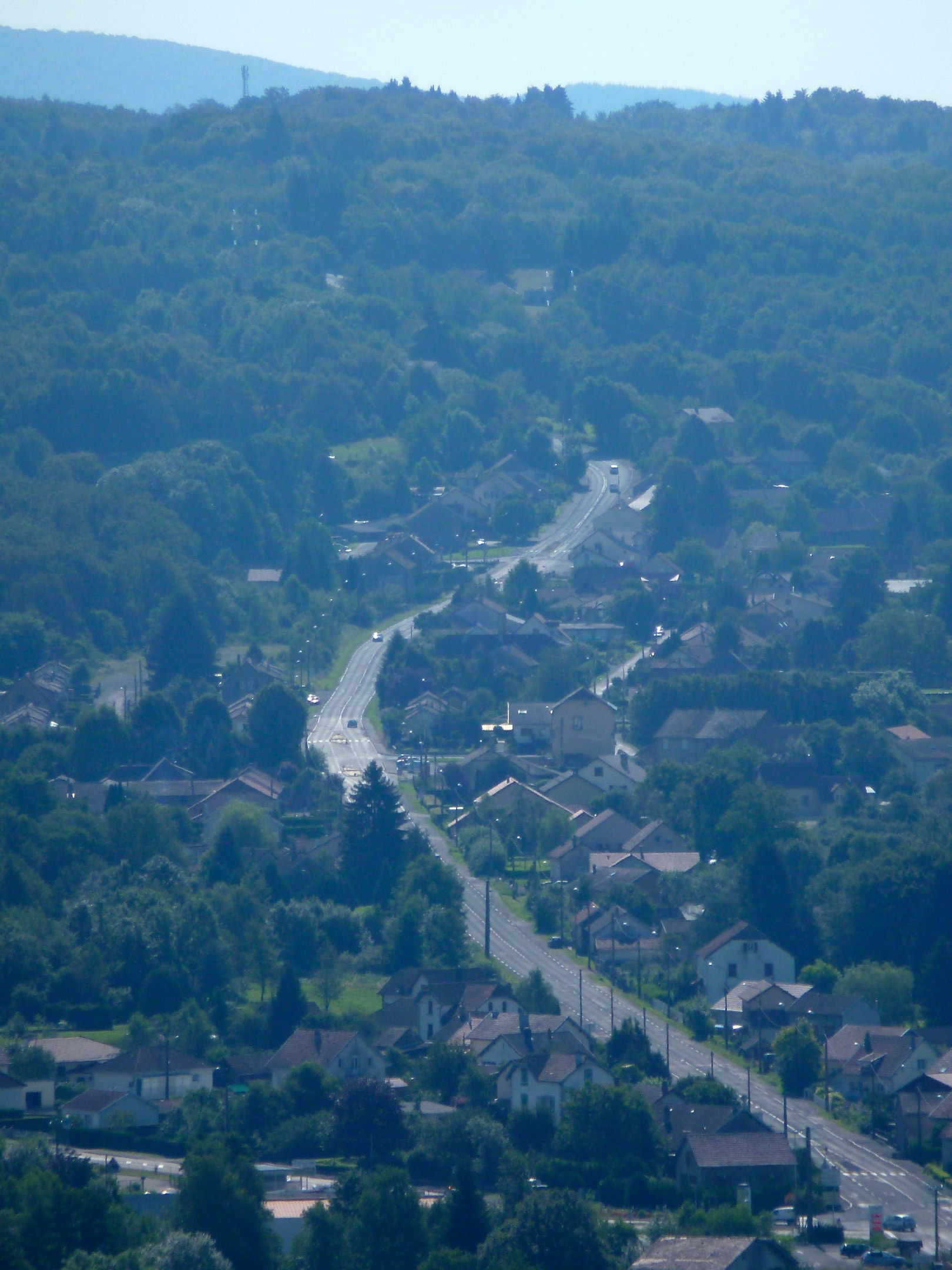
View from chapel, Ronchamp
Ronchamp first view
Plateau des Mille Etangs-2

###
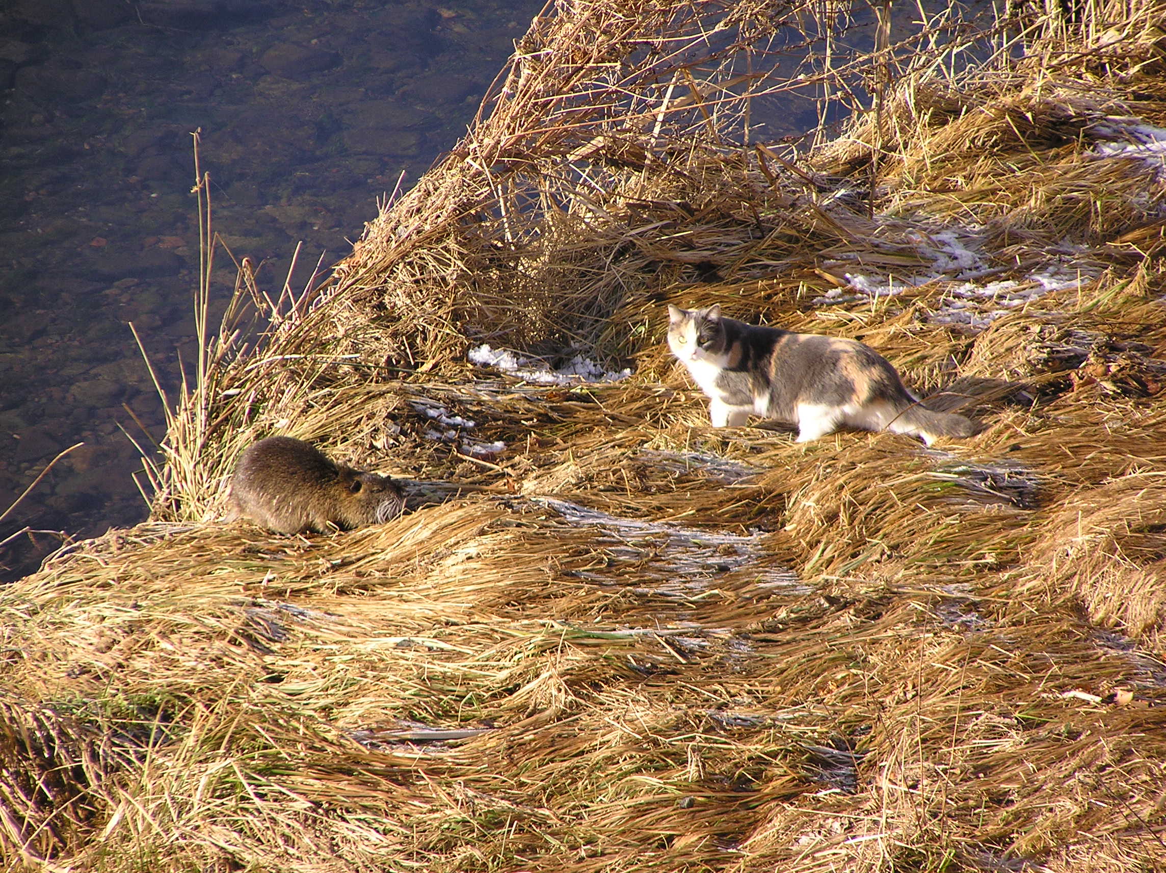
Island ?
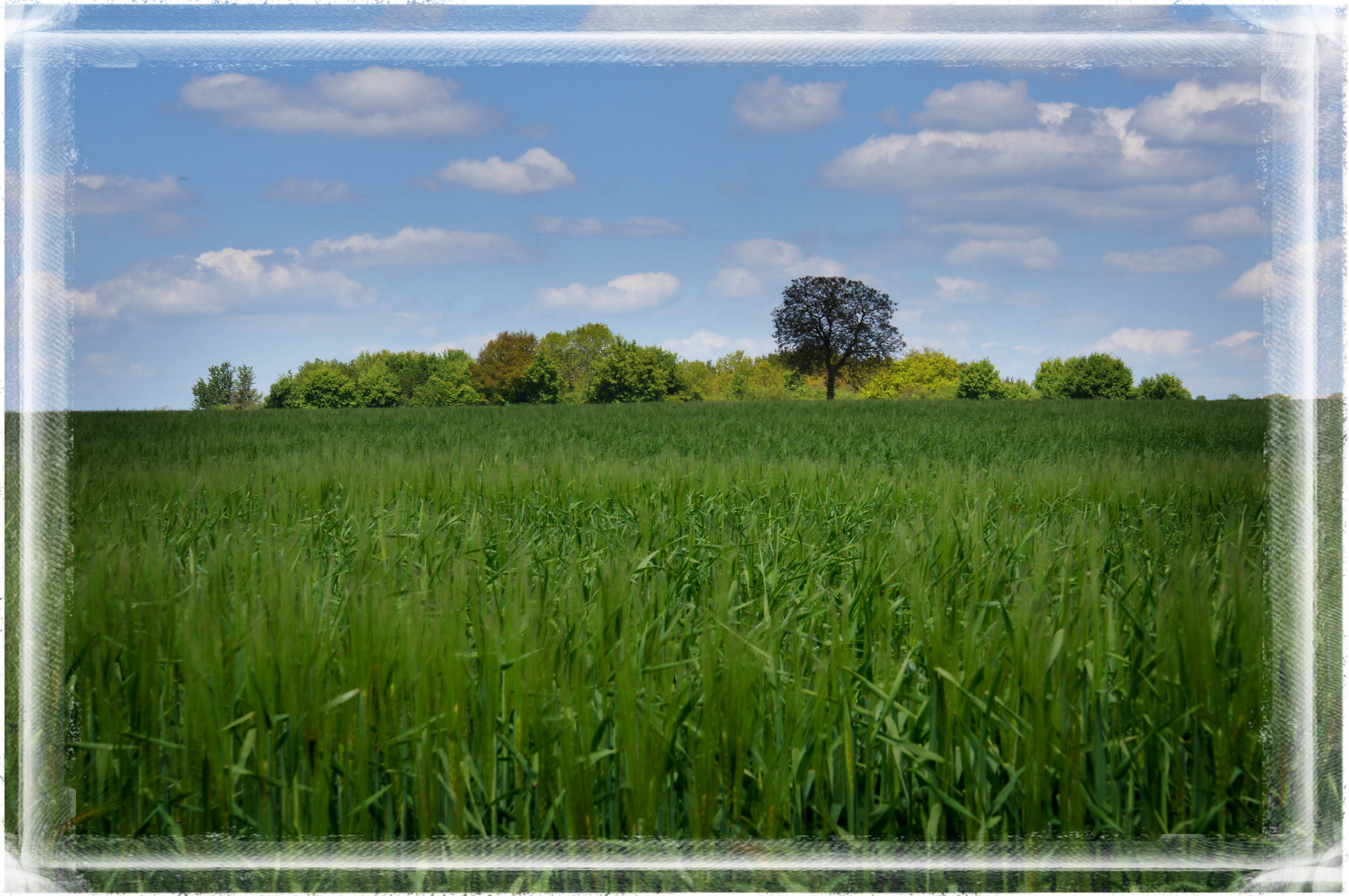
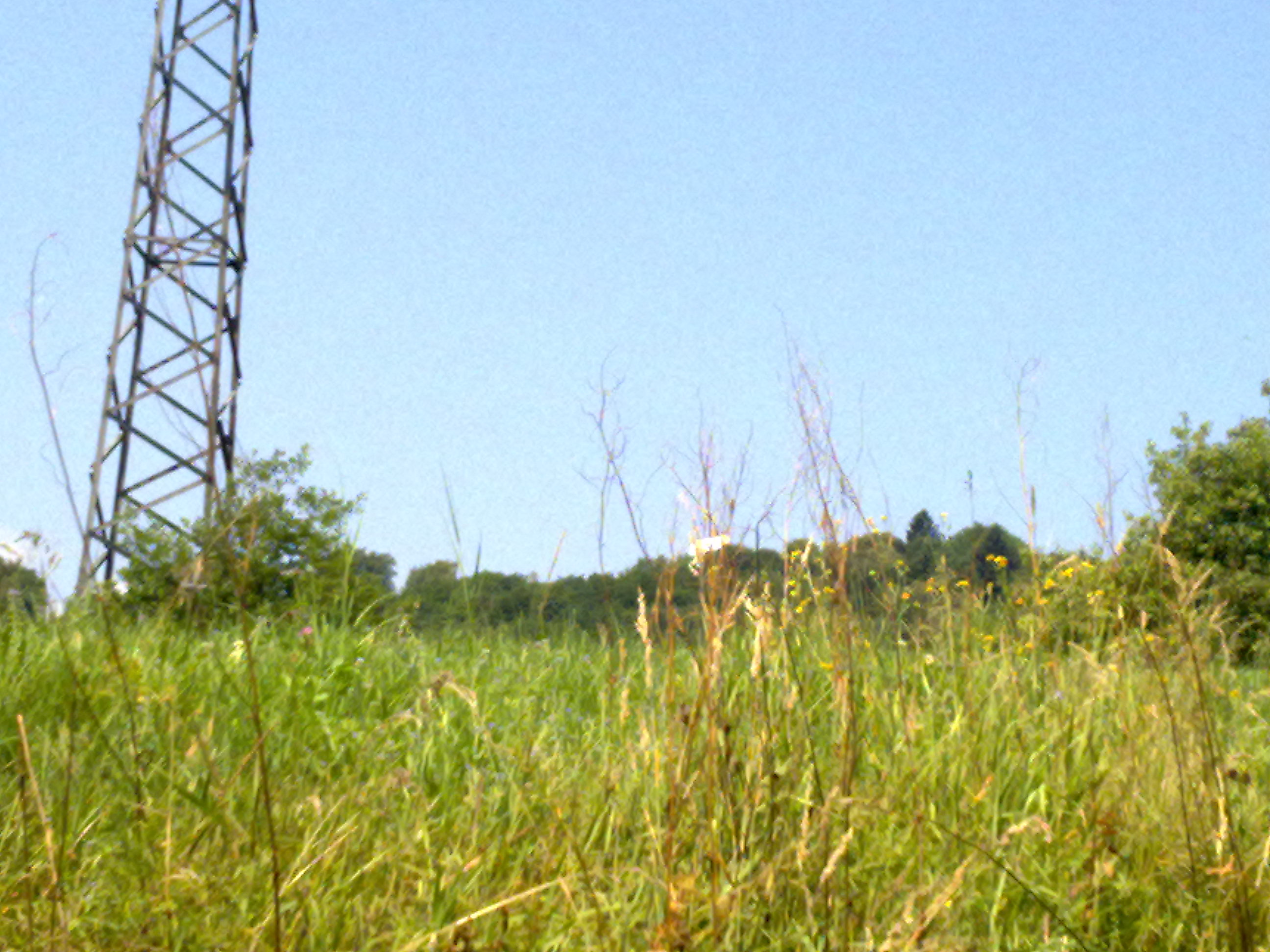
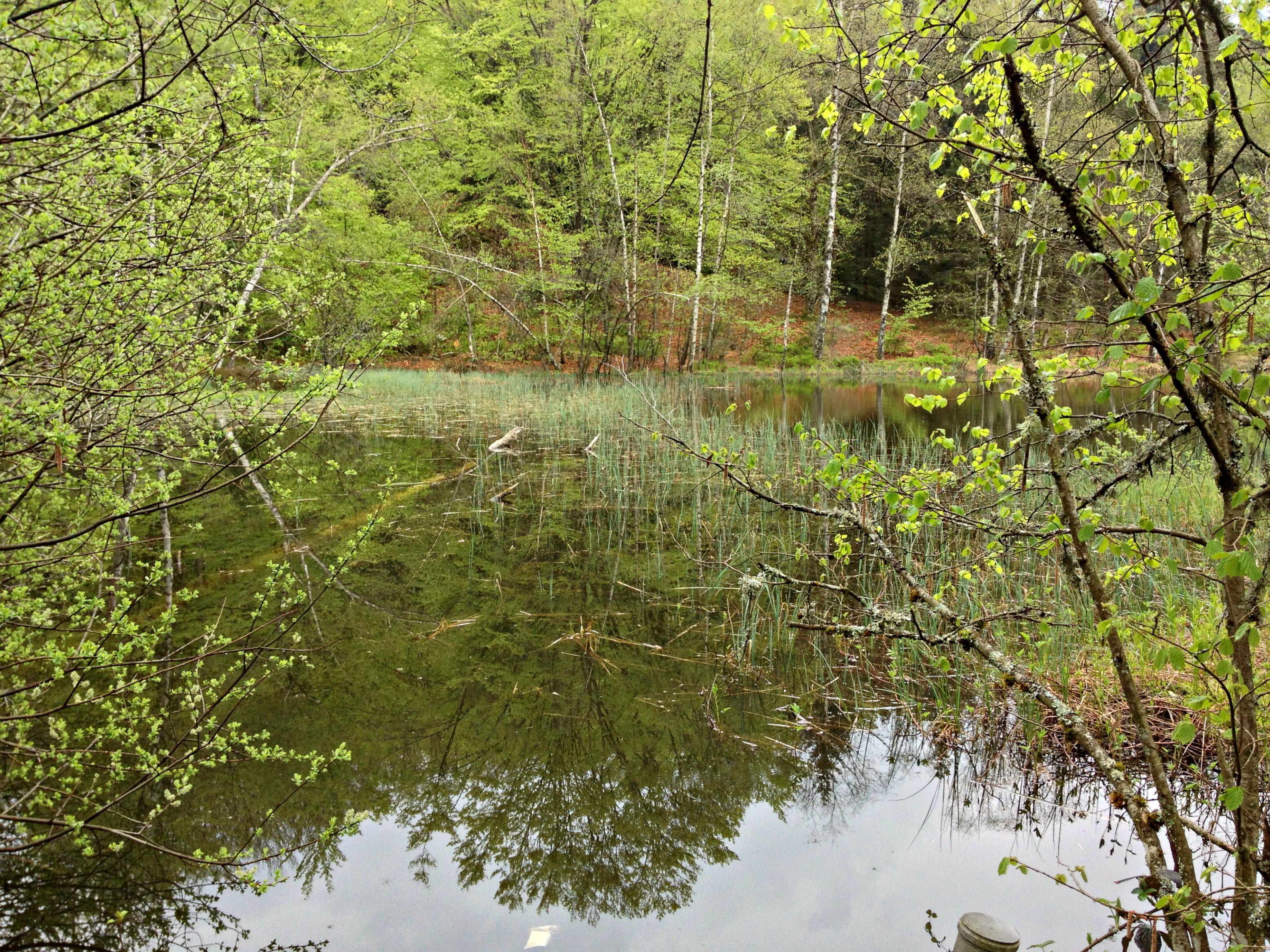
Field of Green
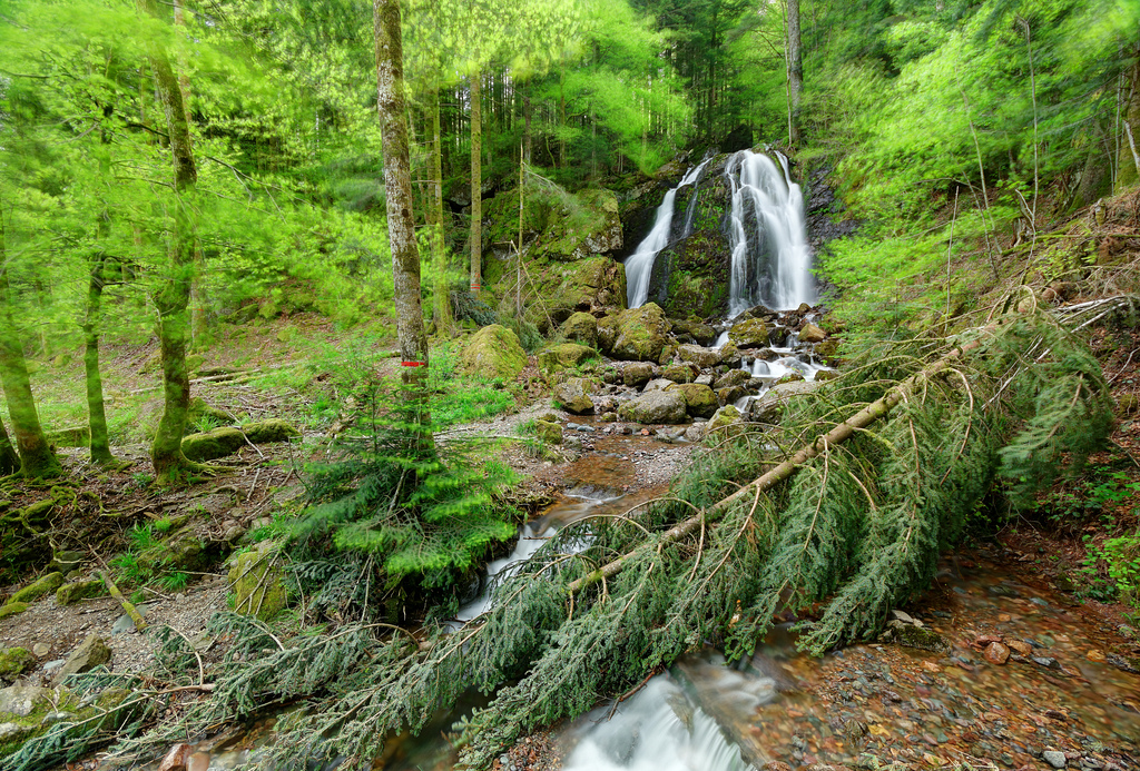
Cascade de la Goutte des Saules, at Plancher-les-Mines
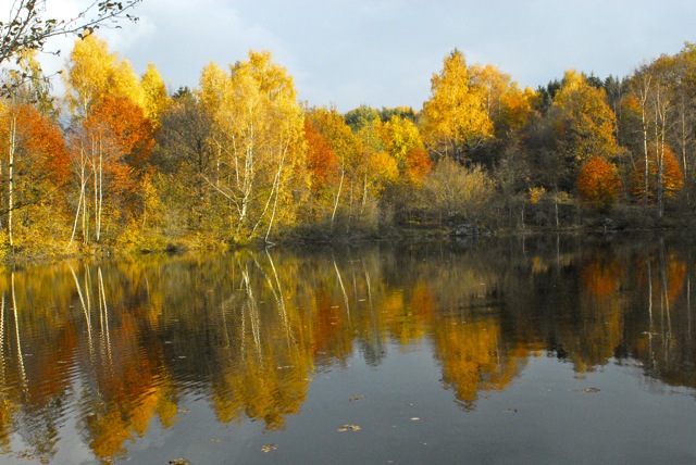
etang 21
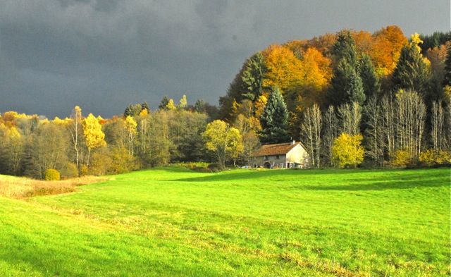
menace orage 1
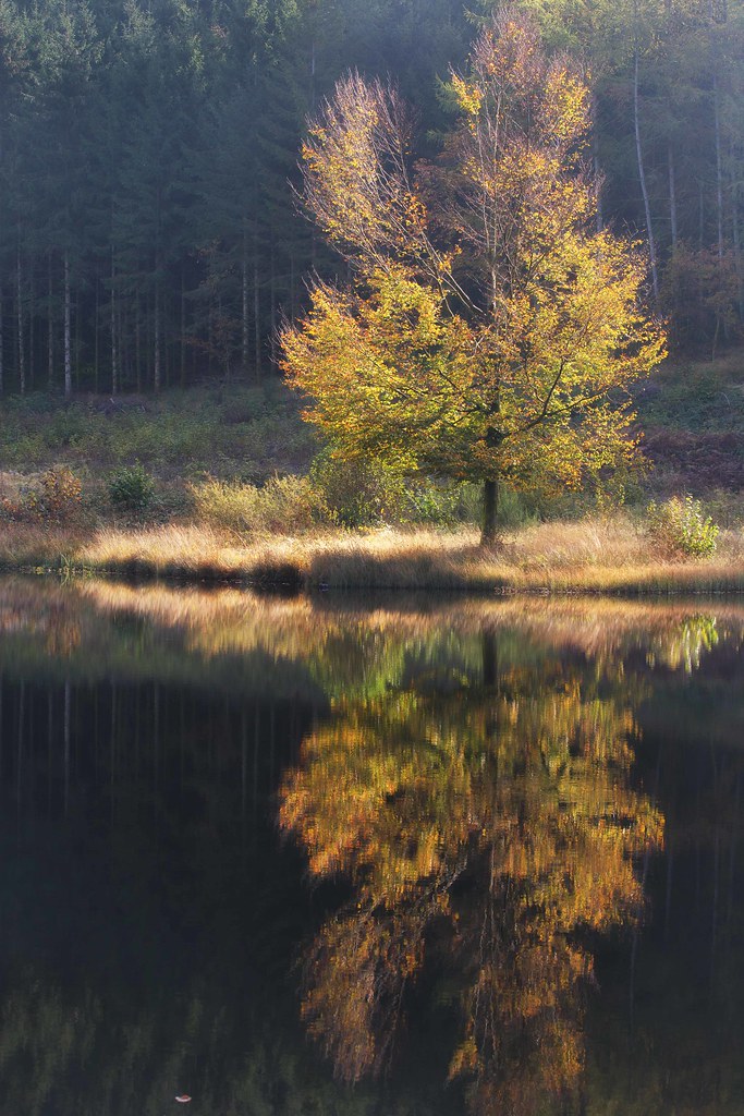
MElodie de l'automne...
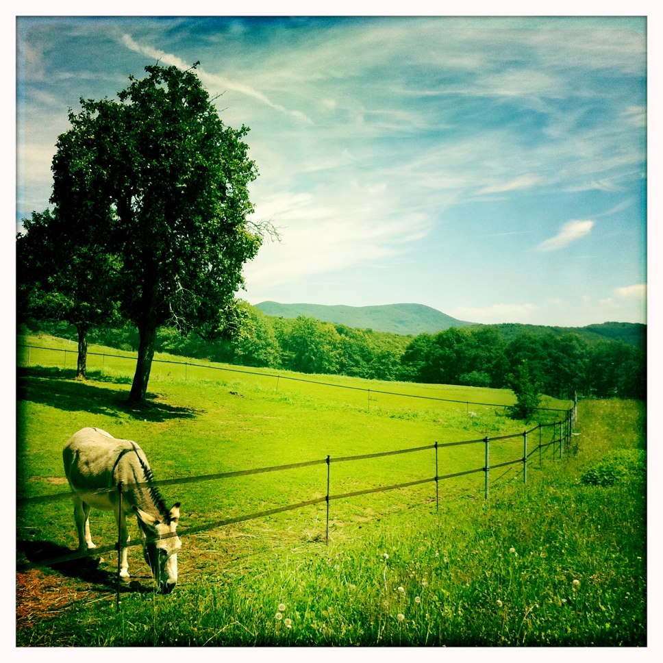
the donkey next door
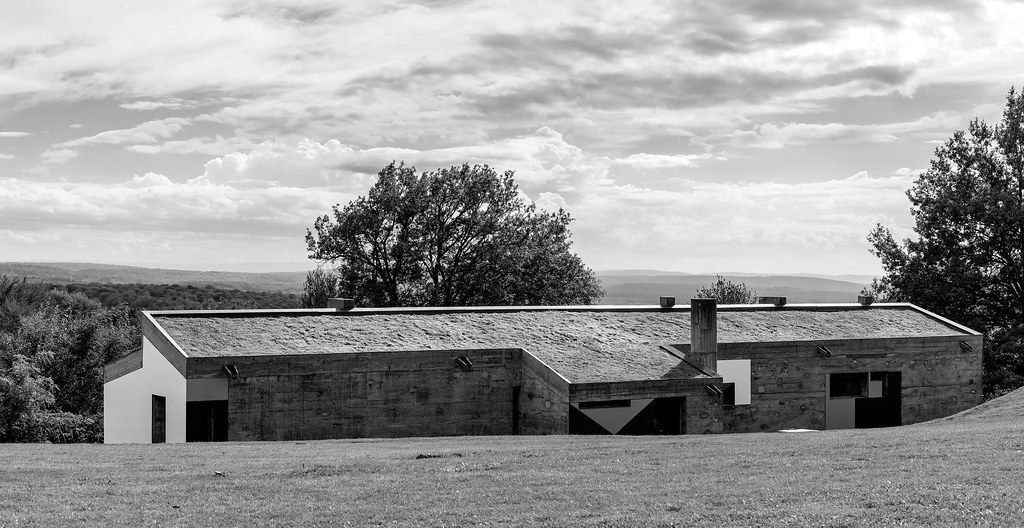
The Pilgrim's Shelter
P1010026.JPG
P1010027.JPG
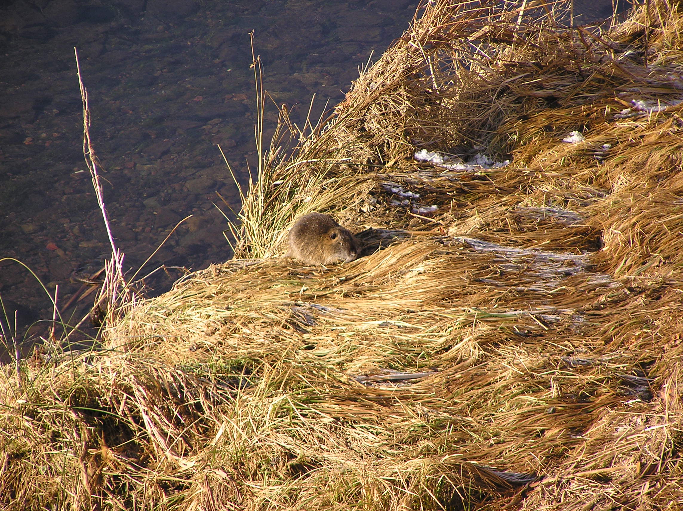
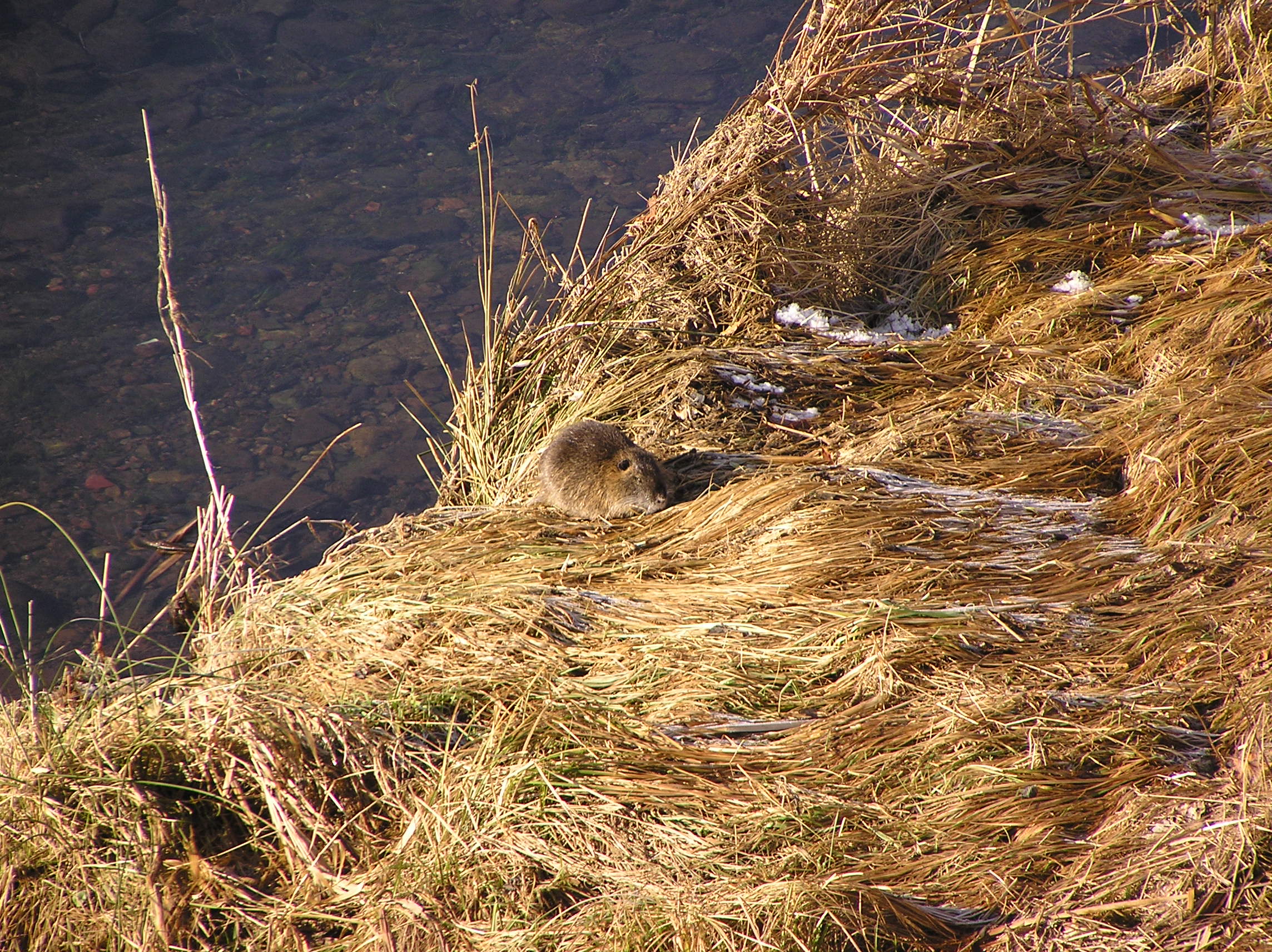
Le Rhôme
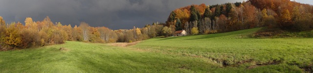
panor orage1

lundi soir
P1010016.JPG
Le Rhôme
Mille étangs, Beulotte
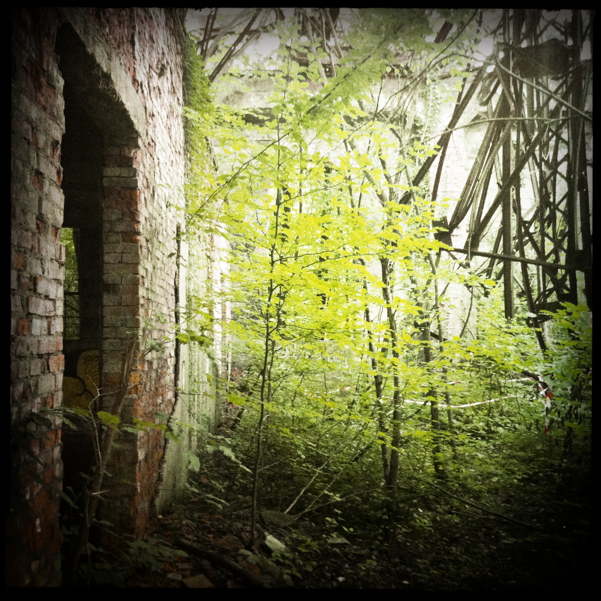
Le puits Arthur de Buyer

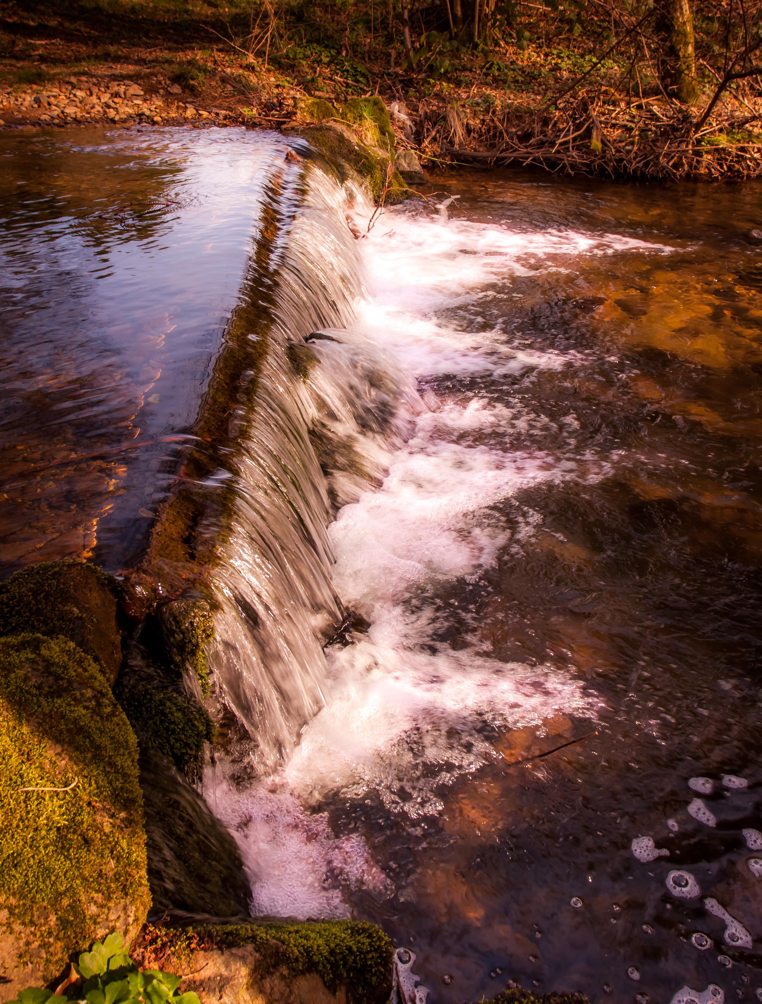
PLANCHER-LES-MINES: Le saut de la truite.
Topographic Map of Mélisey, France
Find elevation by address:

Places in Mélisey, France:
Places near Mélisey, France:
18 Grande Rue, Mélisey, France
22 Rue du Tram, Ternuay-Melay-et-Saint-Hilaire, France
Ternuay-melay-et-saint-hilaire
Fresse
Belmont
7 Rue de la Mairie, Belmont, France
Les Viaux, Fresse, France
La Pessa, Fresse, France
Courmont
La Vergenne
15 Rue d'Athesans, La Vergenne, France
3 La Vieille Verrière, Courmont, France
Adelans-et-le-val-de-bithaine
9 Rue des Prairies, Le Vernoy, France
Le Vernoy
22 Rue du Mont, Aibre, France
8 Hameau de Besancenot, Adelans-et-le-Val-de-Bithaine, France
Aibre
Héricourt
1 Rue des Bancons, Onans, France
Recent Searches:
- Elevation of Lampiasi St, Sarasota, FL, USA
- Elevation of Elwyn Dr, Roanoke Rapids, NC, USA
- Elevation of Congressional Dr, Stevensville, MD, USA
- Elevation of Bellview Rd, McLean, VA, USA
- Elevation of Stage Island Rd, Chatham, MA, USA
- Elevation of Shibuya Scramble Crossing, 21 Udagawacho, Shibuya City, Tokyo -, Japan
- Elevation of Jadagoniai, Kaunas District Municipality, Lithuania
- Elevation of Pagonija rock, Kranto 7-oji g. 8"N, Kaunas, Lithuania
- Elevation of Co Rd 87, Jamestown, CO, USA
- Elevation of Tenjo, Cundinamarca, Colombia