Elevation of Le Vernoy, France
Location: France > Doubs >
Longitude: 6.676303
Latitude: 47.55964
Elevation: 393m / 1289feet
Barometric Pressure: 97KPa
Elevation Map:
Satellite Map:
Related Photos:
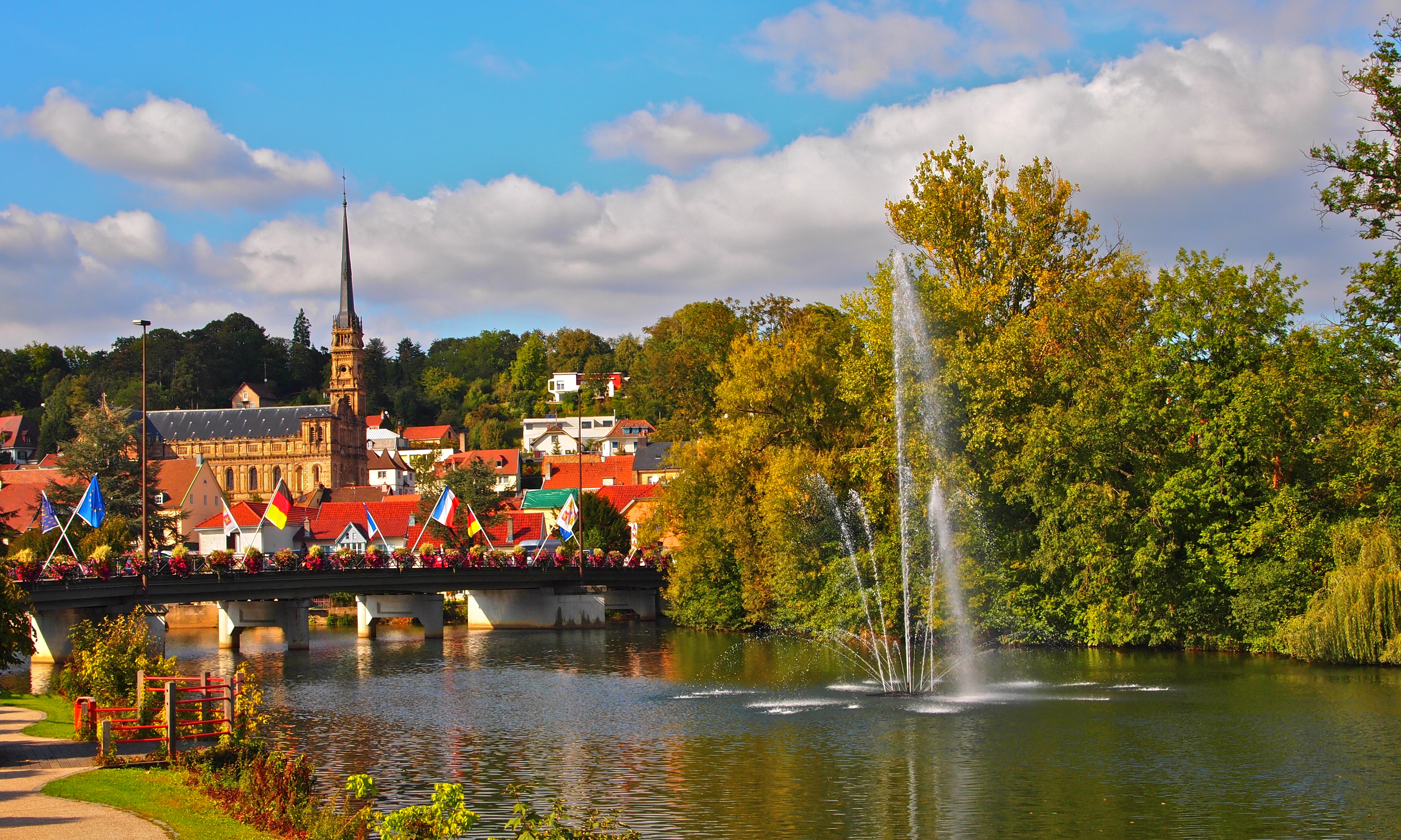
Pont sur l'Allan à Montbéliard

Église Saint-Maimbœuf de Montbéliard
DSC00452.jpg
DSC00420.jpg

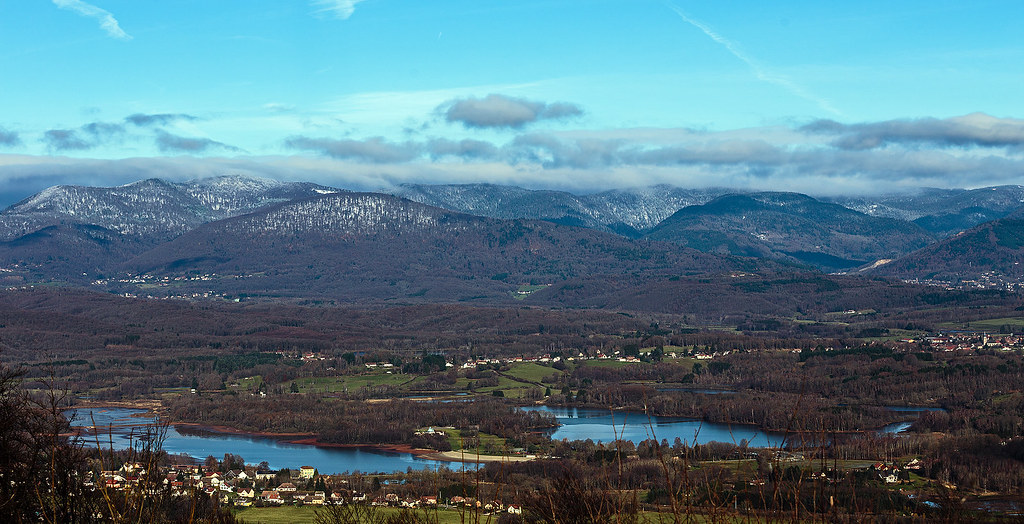
Ghosts Of The Plain (I43)
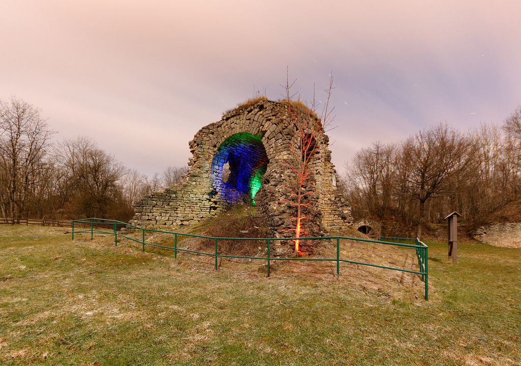
Fort du Salbert (ancien ouvrage "G" de la D.A.T. (OTAN))
View from chapel, Ronchamp
DSC00453.jpg
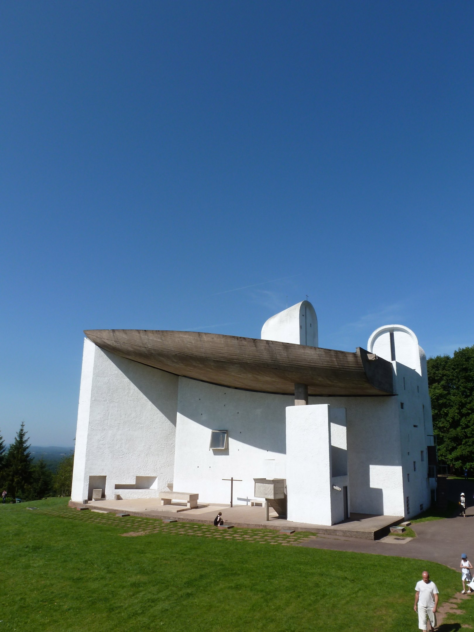
Notre Dame Du Haut 008

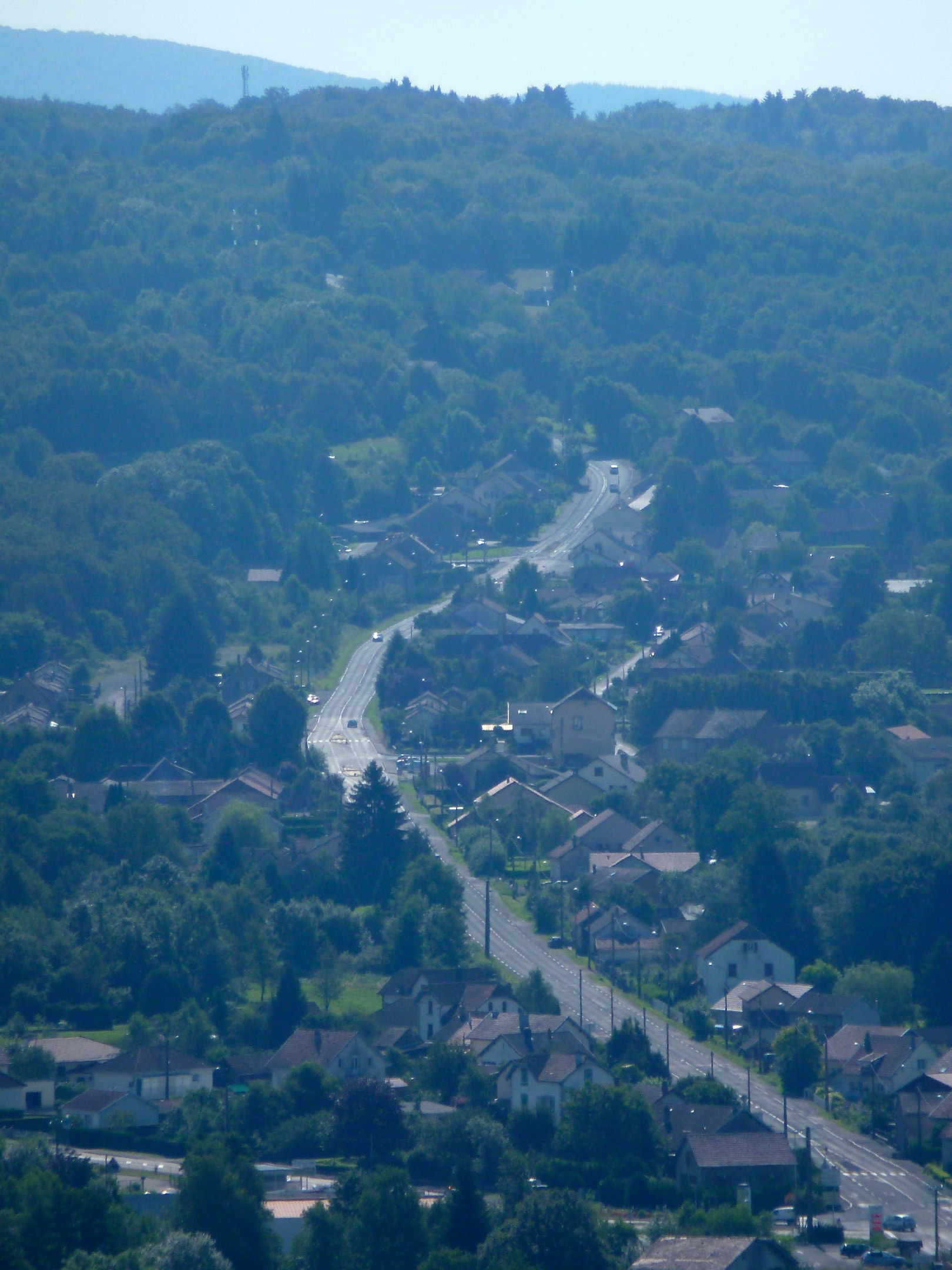
Cris's view of Héricourt
DSC00422.jpg

DSC00442.jpg
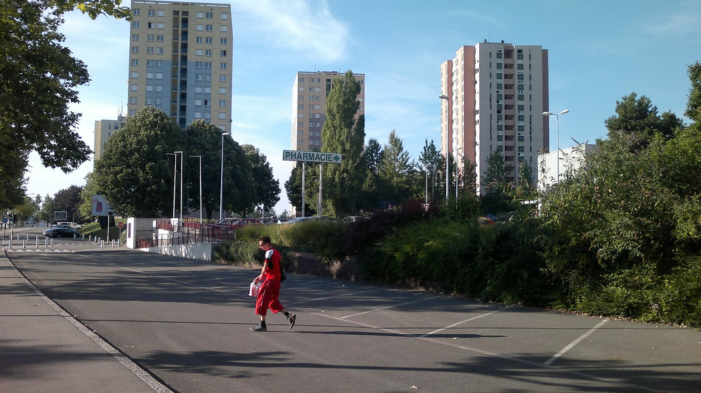
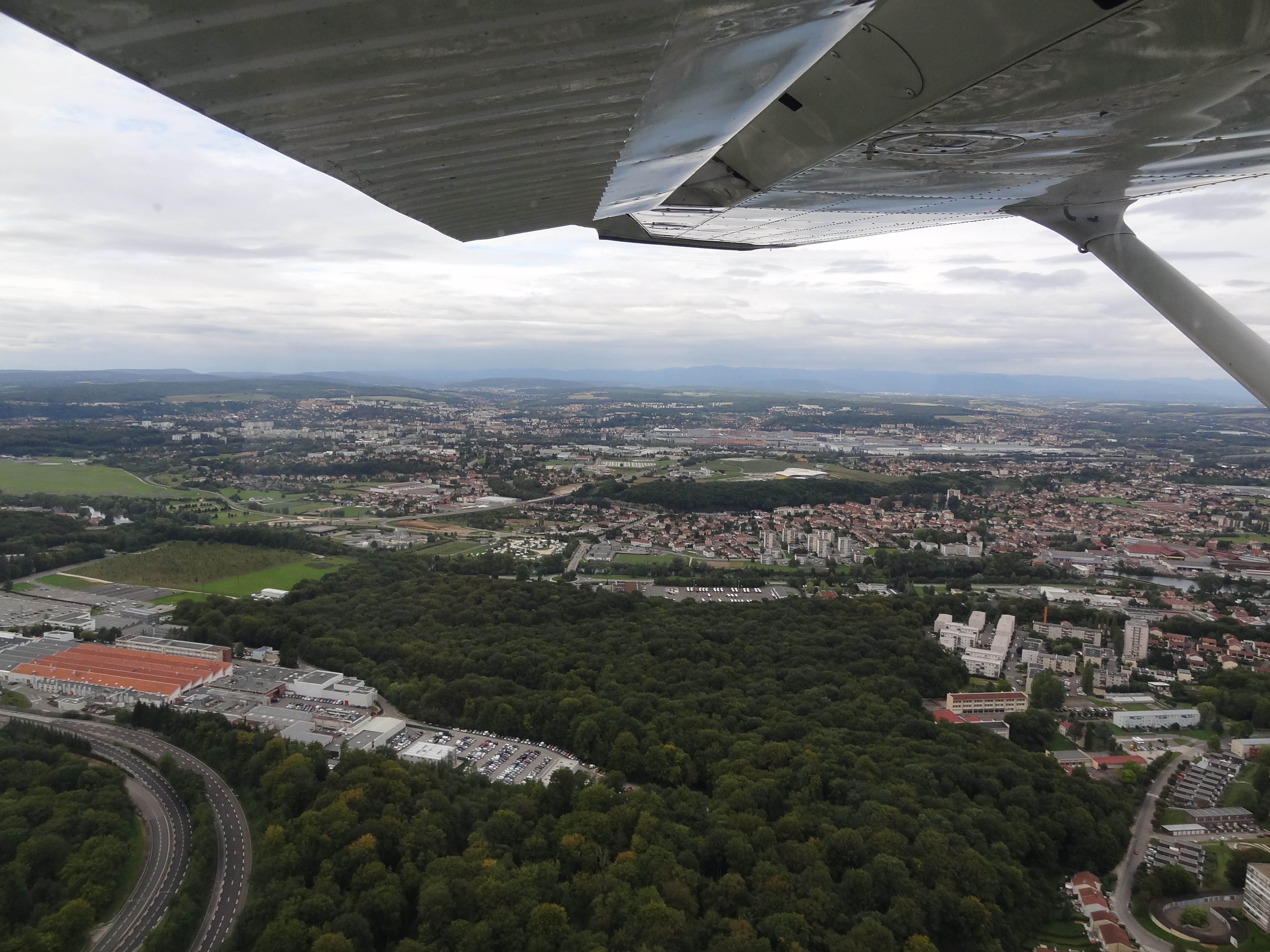
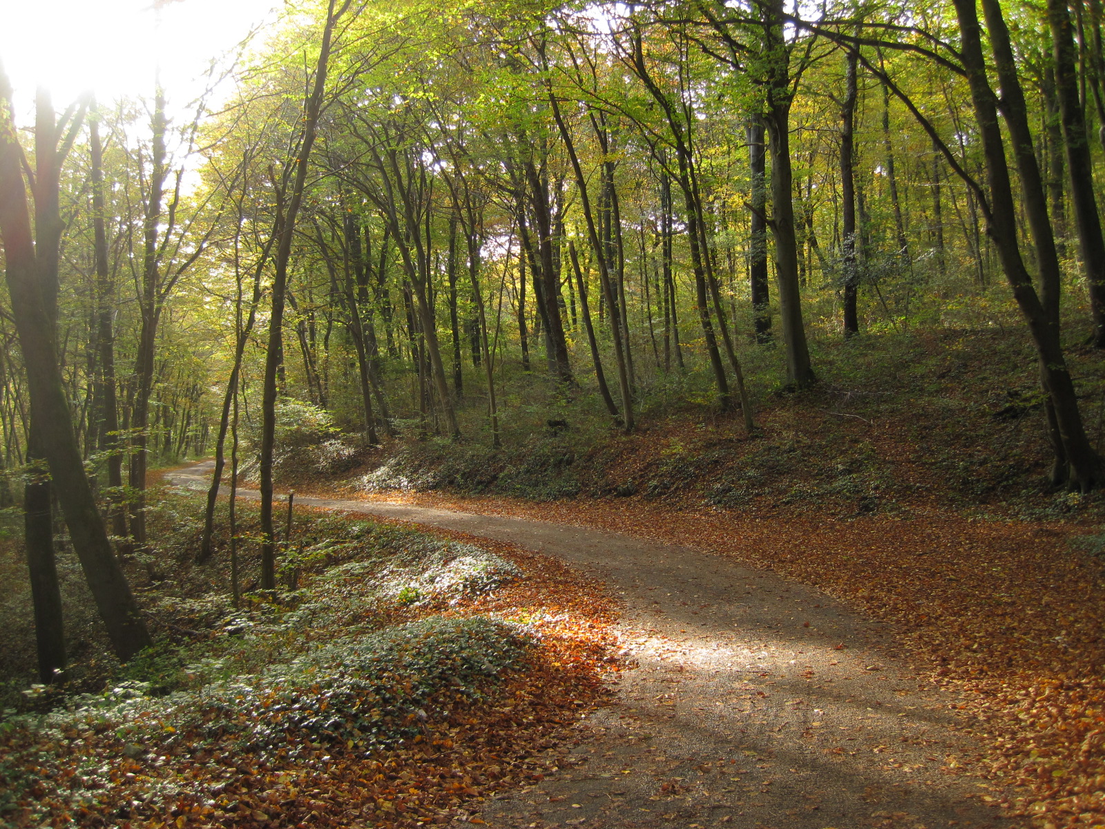
on the road
DSC00458.jpg
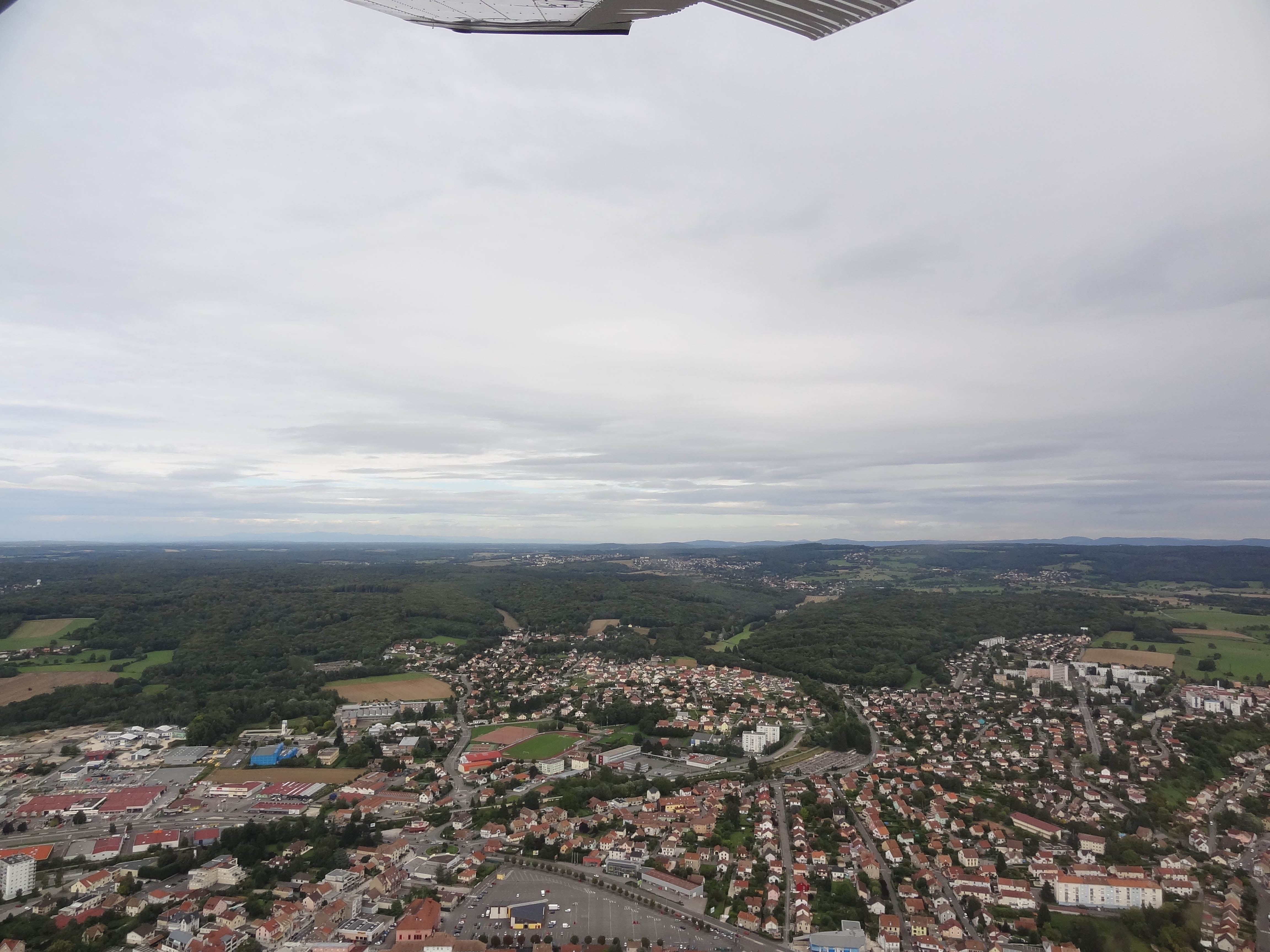
wide angle

DSC00444.jpg
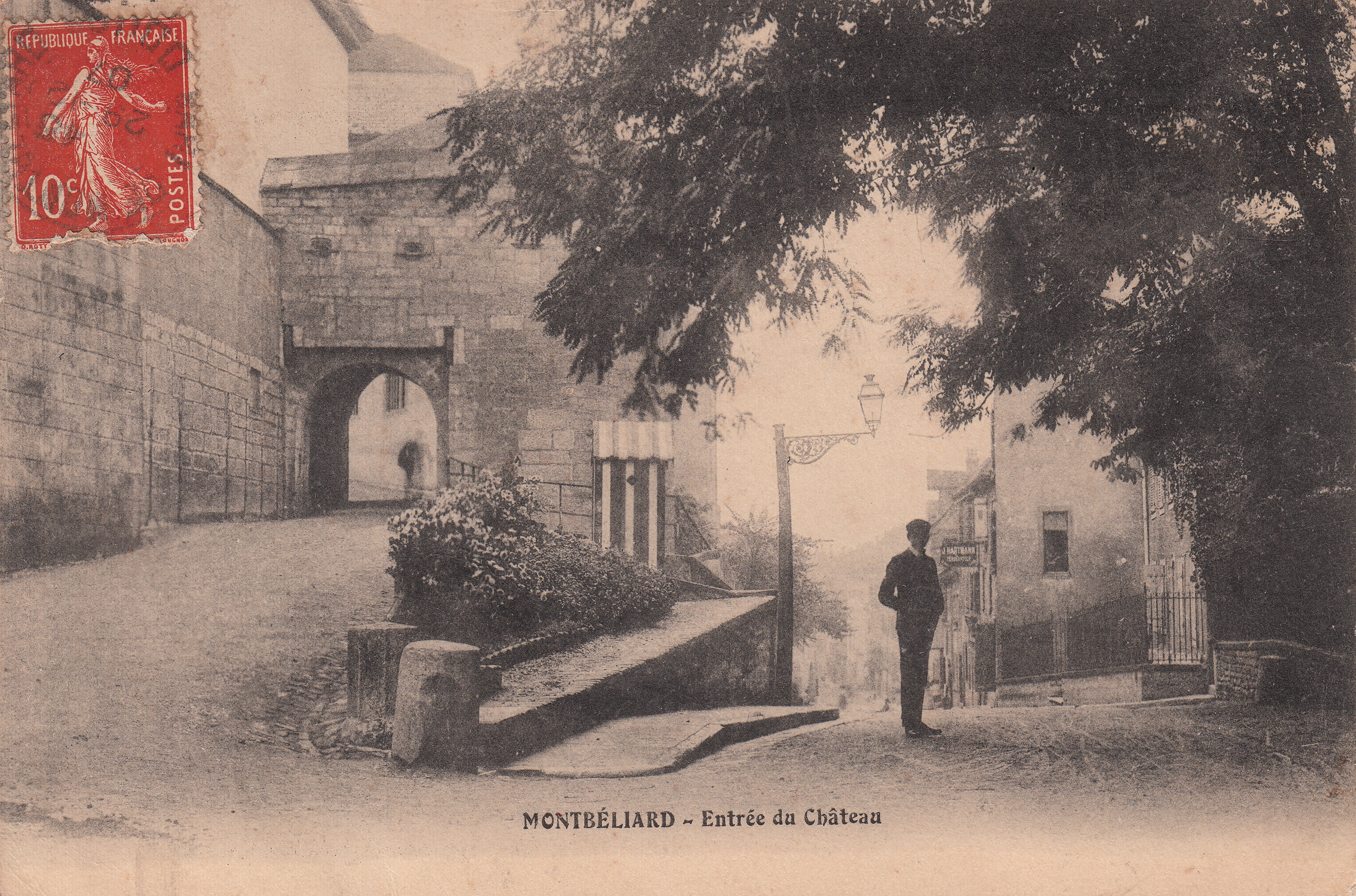
Montbéliard - Entrée du Château (c.1907)

La neige fait son apparition...

After the heavy rain

Pont ferroviaire sur l' Allan - Montbéliard (Rail bridge on l ' Allan - Montbéliard)
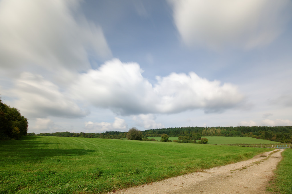
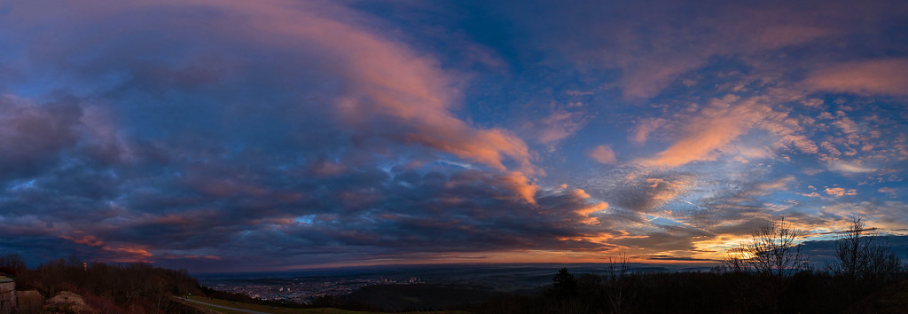
Long exposure clouds
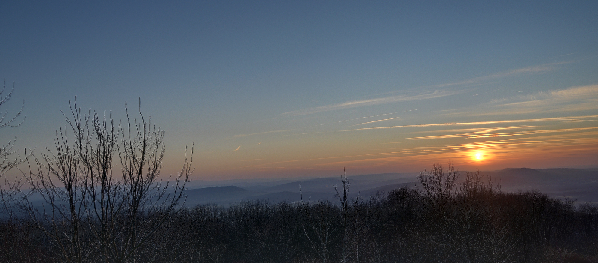
Coucher de Soleil au Salbert

BELFORT; 2012.12.27 Il a neigé la nuit .02

Blurified (J22)
Route du Mont Bart
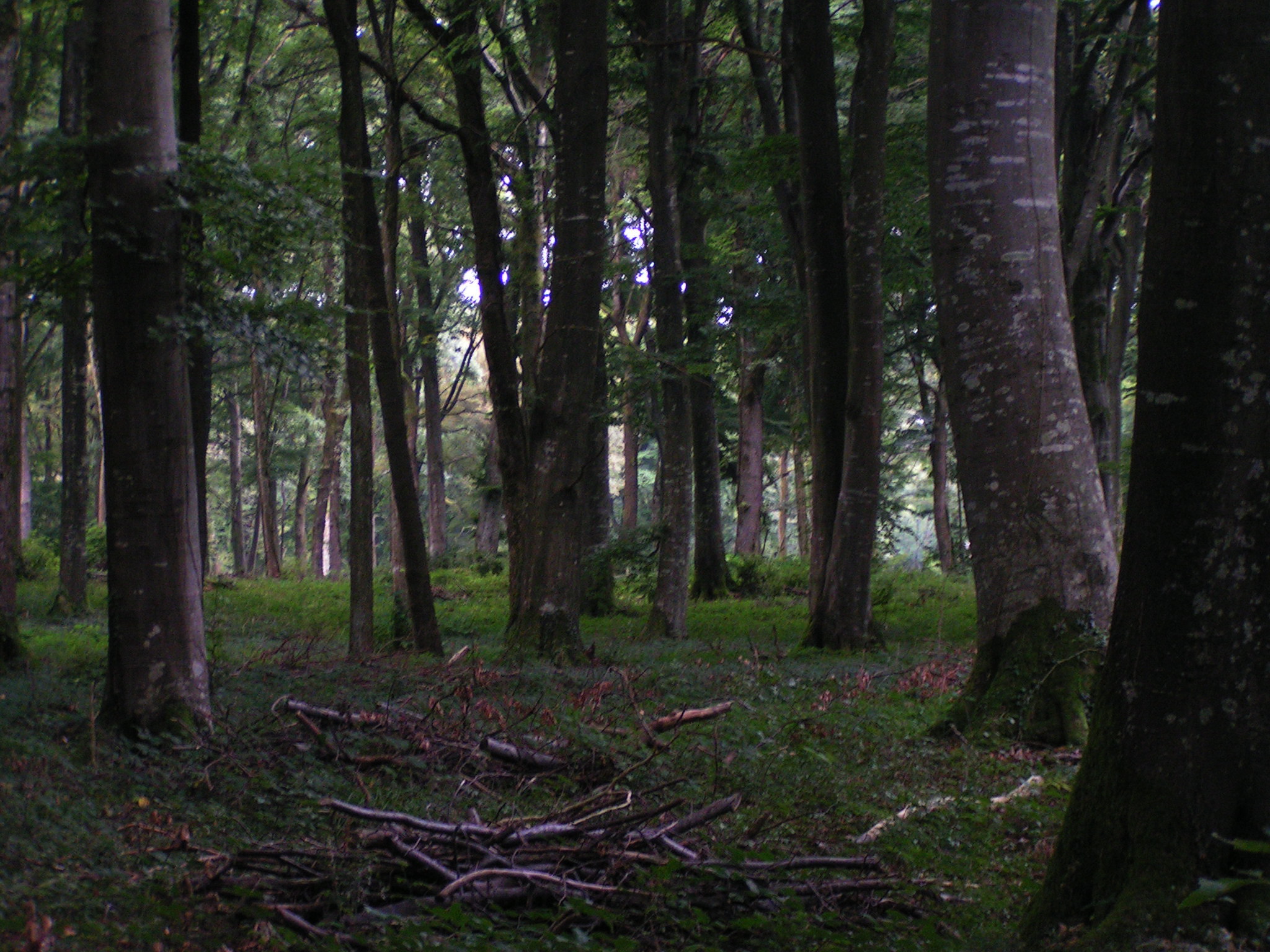
20070901 12234 0708 Jakobus Wald Bäume
Sunset over Belfort

Sleepin' in the grass
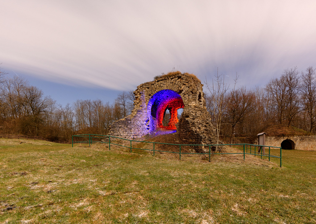
Fort du Salbert
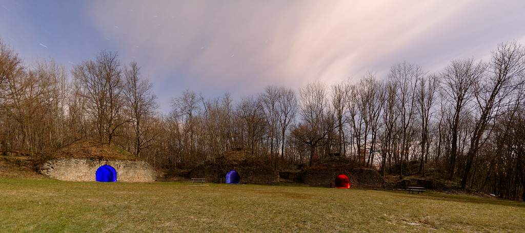
Fort du Salbert
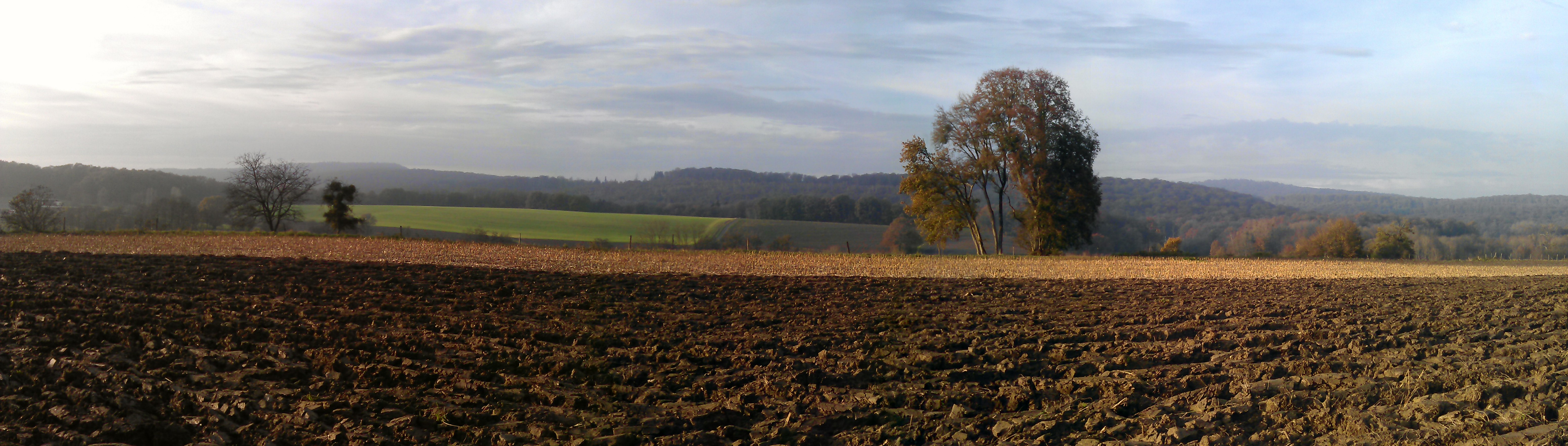
Les tons de la terre

Chatenois-les-Forges - Territoire-de-Belfort - France
Vers les Vosges
Fort du Salbert
Reflets sur l'Allan
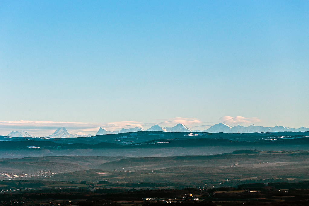
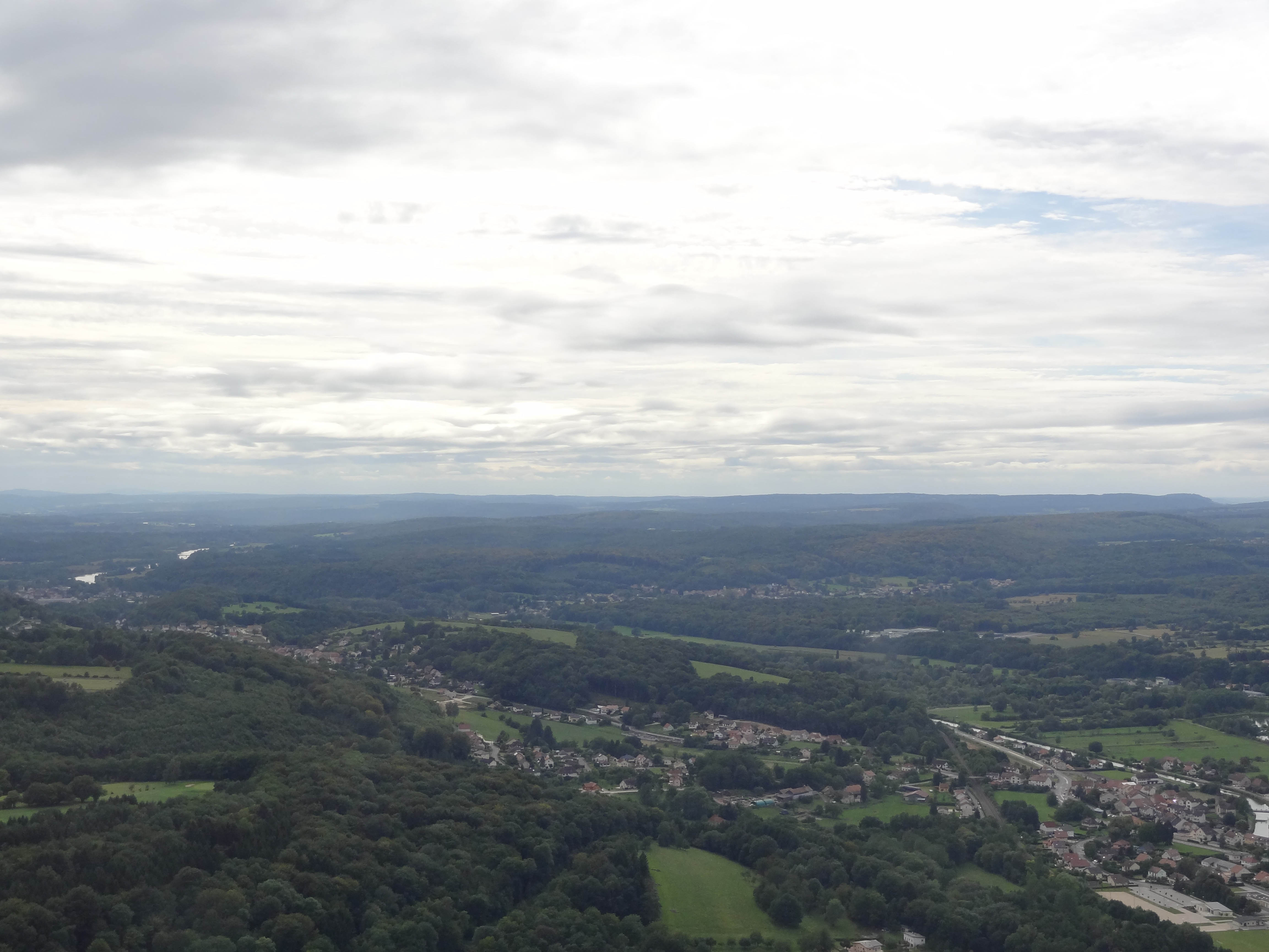
The Alps seen from... far away
Montbéliard - franche comté- france من تصويري

BELFORT: 05 juin 2011: Levé du du soleil.
Topographic Map of Le Vernoy, France
Find elevation by address:

Places in Le Vernoy, France:
Places near Le Vernoy, France:
9 Rue des Prairies, Le Vernoy, France
22 Rue du Mont, Aibre, France
Aibre
3 La Vieille Verrière, Courmont, France
Courmont
Héricourt
1 Rue des Bancons, Onans, France
Onans
Avenue Jean Jaurès, Héricourt, France
11b
1 Rue du Chêne, Héricourt, France
2 Impasse des Pommiers, Bart, France
Bart
42 Rue du Maréchal Juin, Montbéliard, France
Bethoncourt
16 Rue Jean Pierson, Bethoncourt, France
2 Impasse Fleming
41 Grande Rue, Voujeaucourt, France
Rue De Champs Vallon
Montbéliard
Recent Searches:
- Elevation of Spaceport America, Co Rd A, Truth or Consequences, NM, USA
- Elevation of Warwick, RI, USA
- Elevation of Fern Rd, Whitmore, CA, USA
- Elevation of 62 Abbey St, Marshfield, MA, USA
- Elevation of Fernwood, Bradenton, FL, USA
- Elevation of Felindre, Swansea SA5 7LU, UK
- Elevation of Leyte Industrial Development Estate, Isabel, Leyte, Philippines
- Elevation of W Granada St, Tampa, FL, USA
- Elevation of Pykes Down, Ivybridge PL21 0BY, UK
- Elevation of Jalan Senandin, Lutong, Miri, Sarawak, Malaysia