Elevation of 11B Rue des Écoles, Étouvans, France
Location: France > Doubs >
Longitude: 6.7191831
Latitude: 47.4644895
Elevation: 350m / 1148feet
Barometric Pressure: 97KPa
Elevation Map:
Satellite Map:
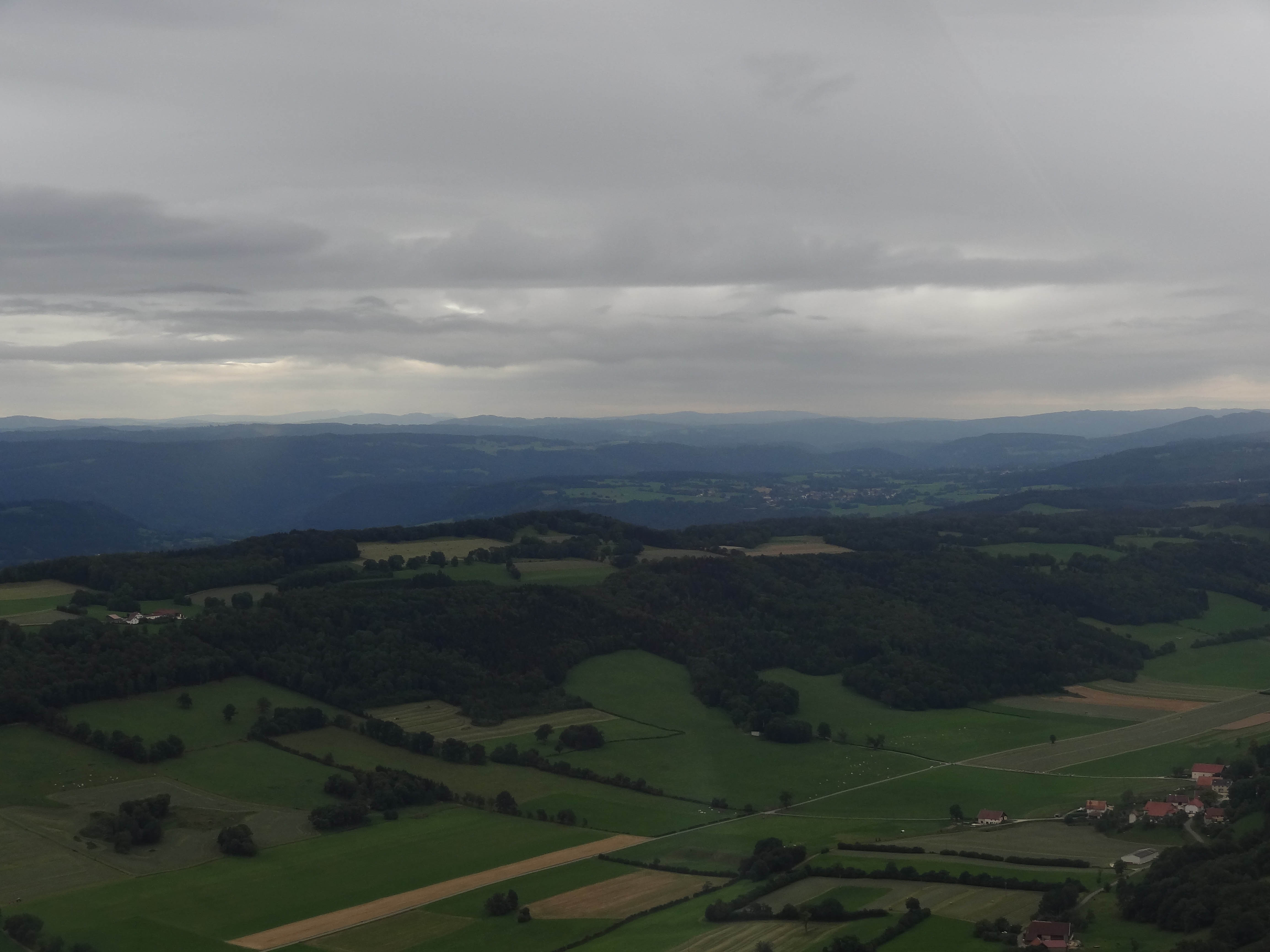
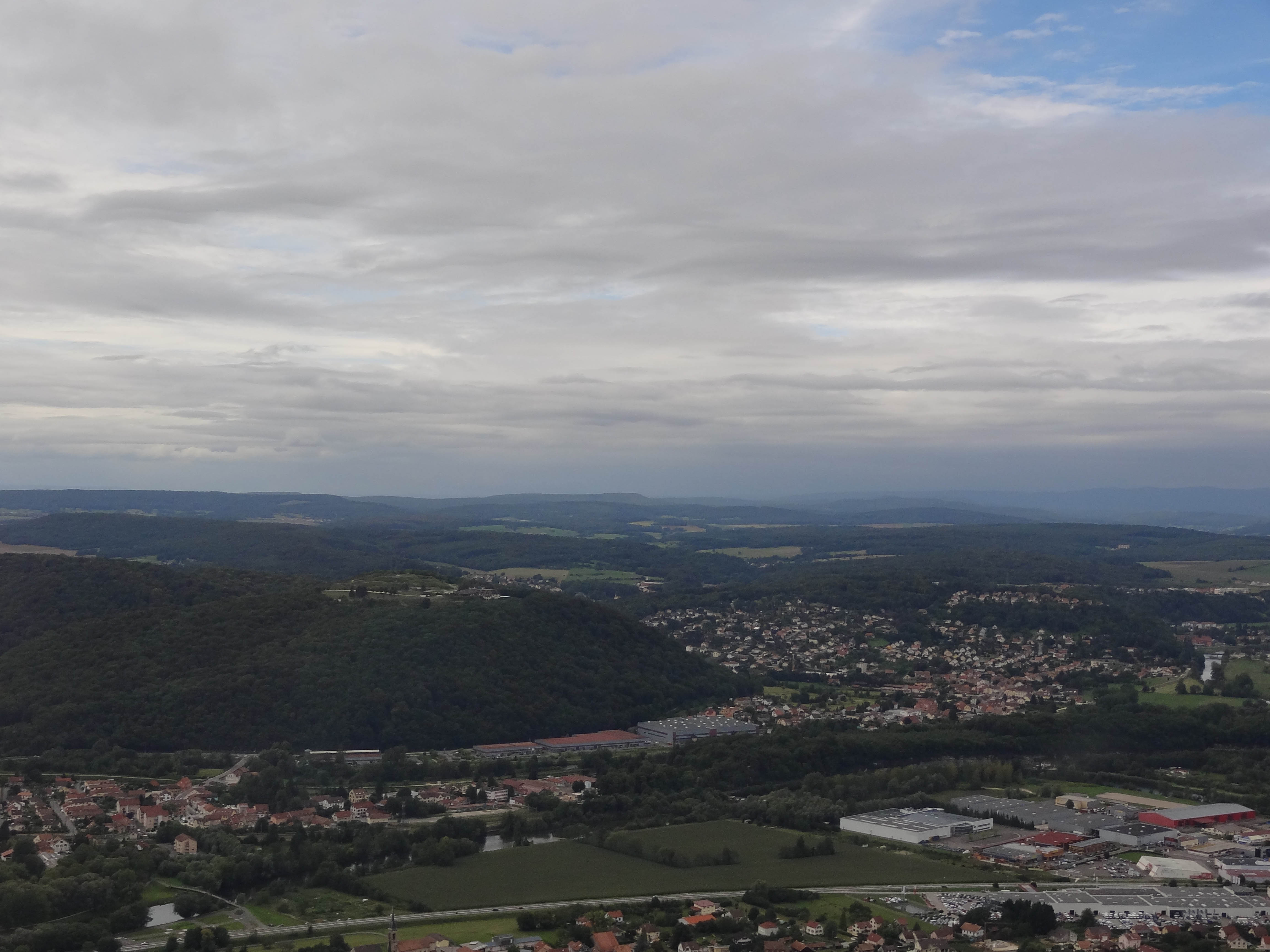
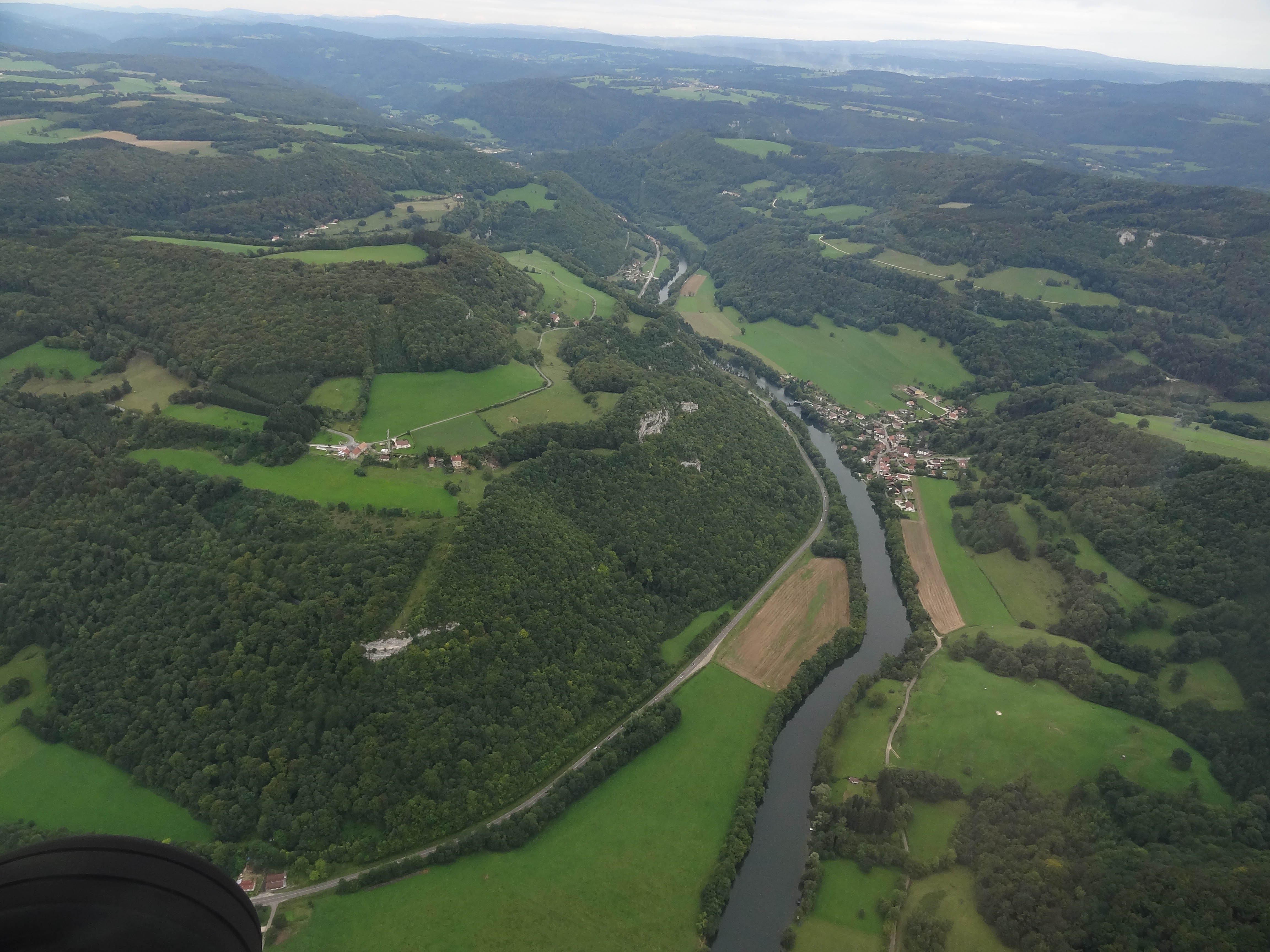
Related Photos:
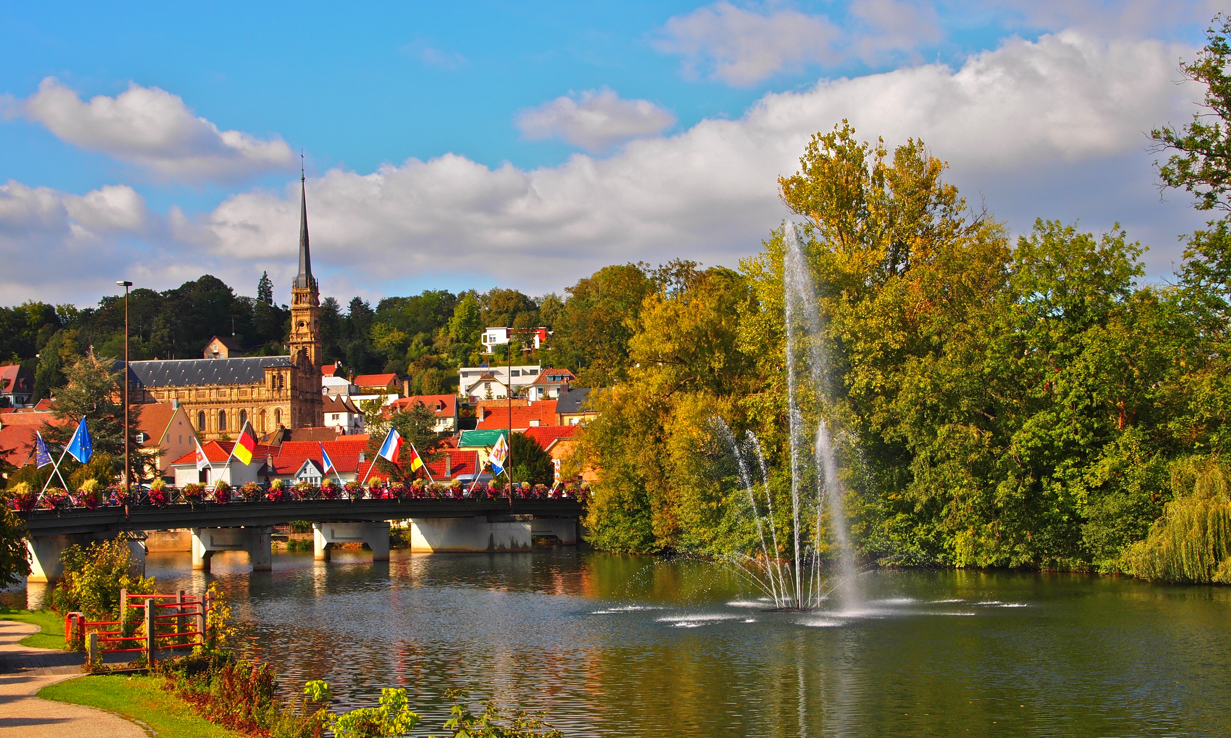
Pont sur l'Allan à Montbéliard

Église Saint-Maimbœuf de Montbéliard
DSC00394.jpg
DSC00411.jpg

DSC00414.jpg
DSC00452.jpg
DSC00403.jpg
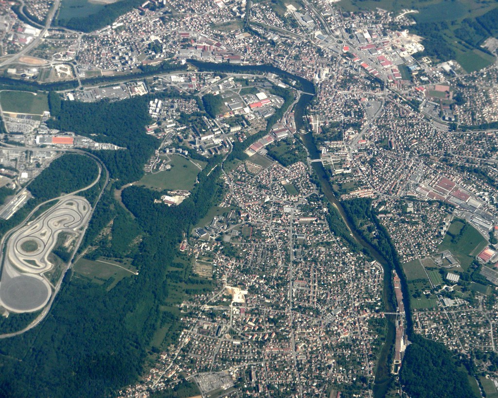
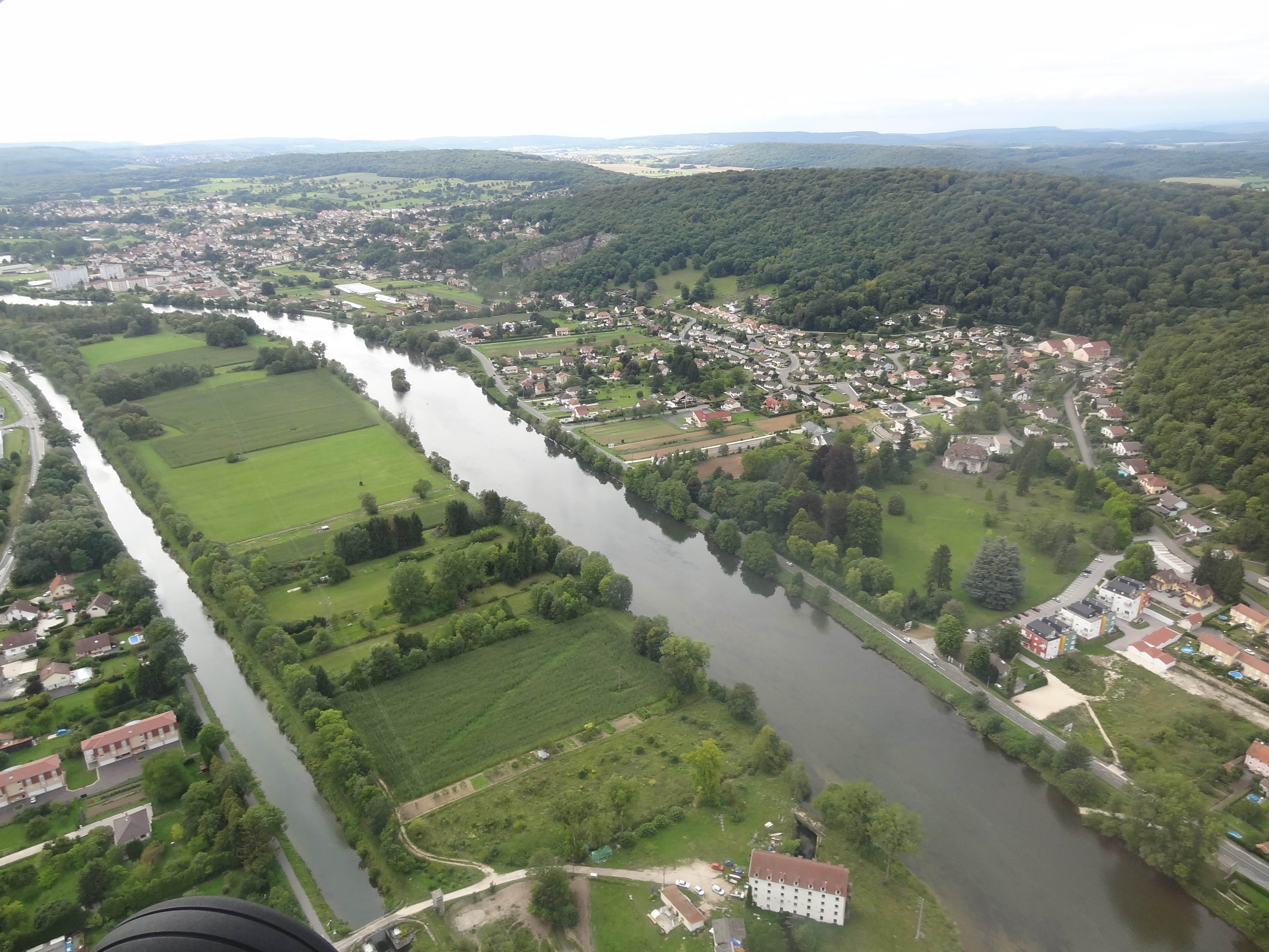
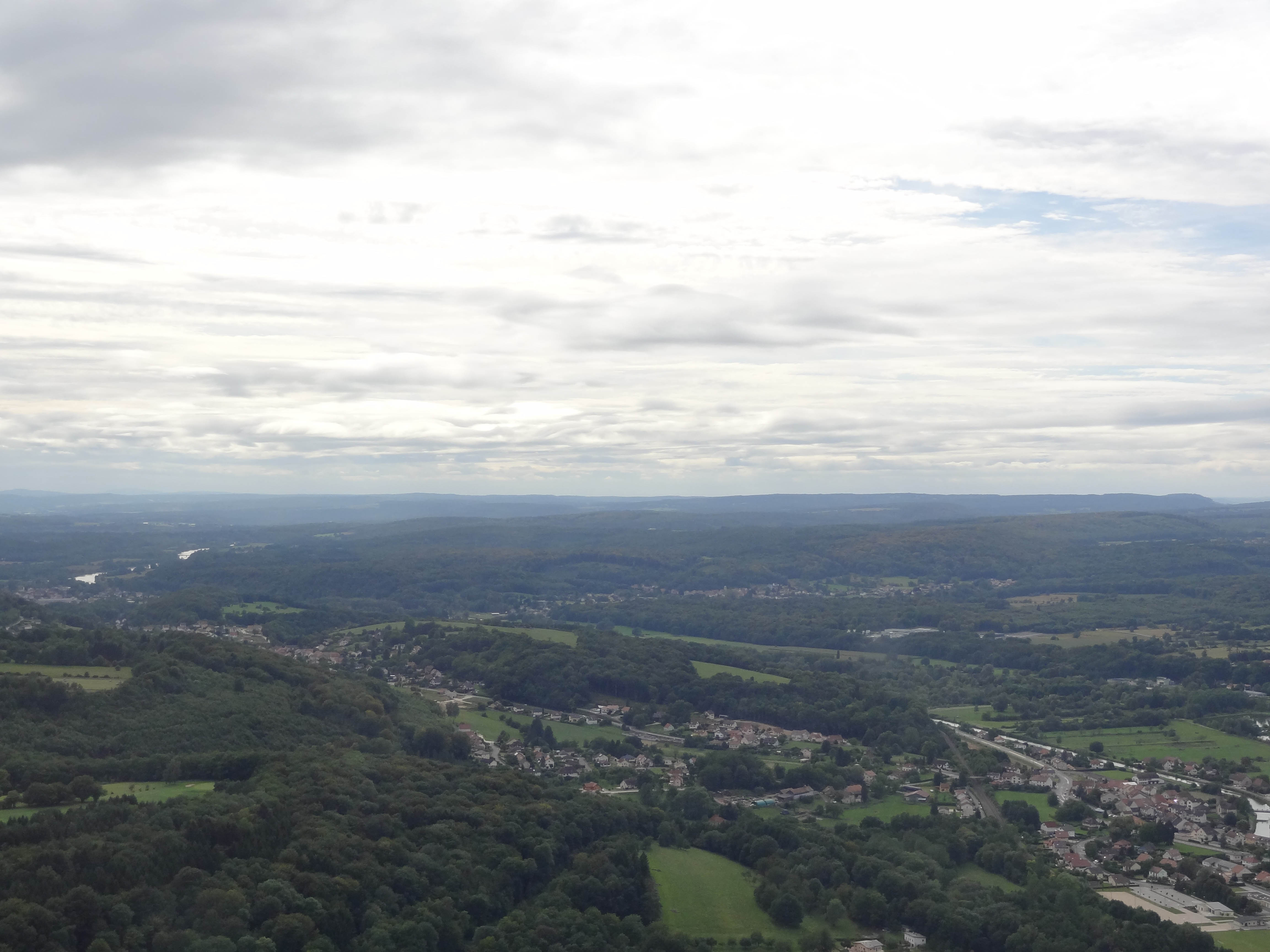
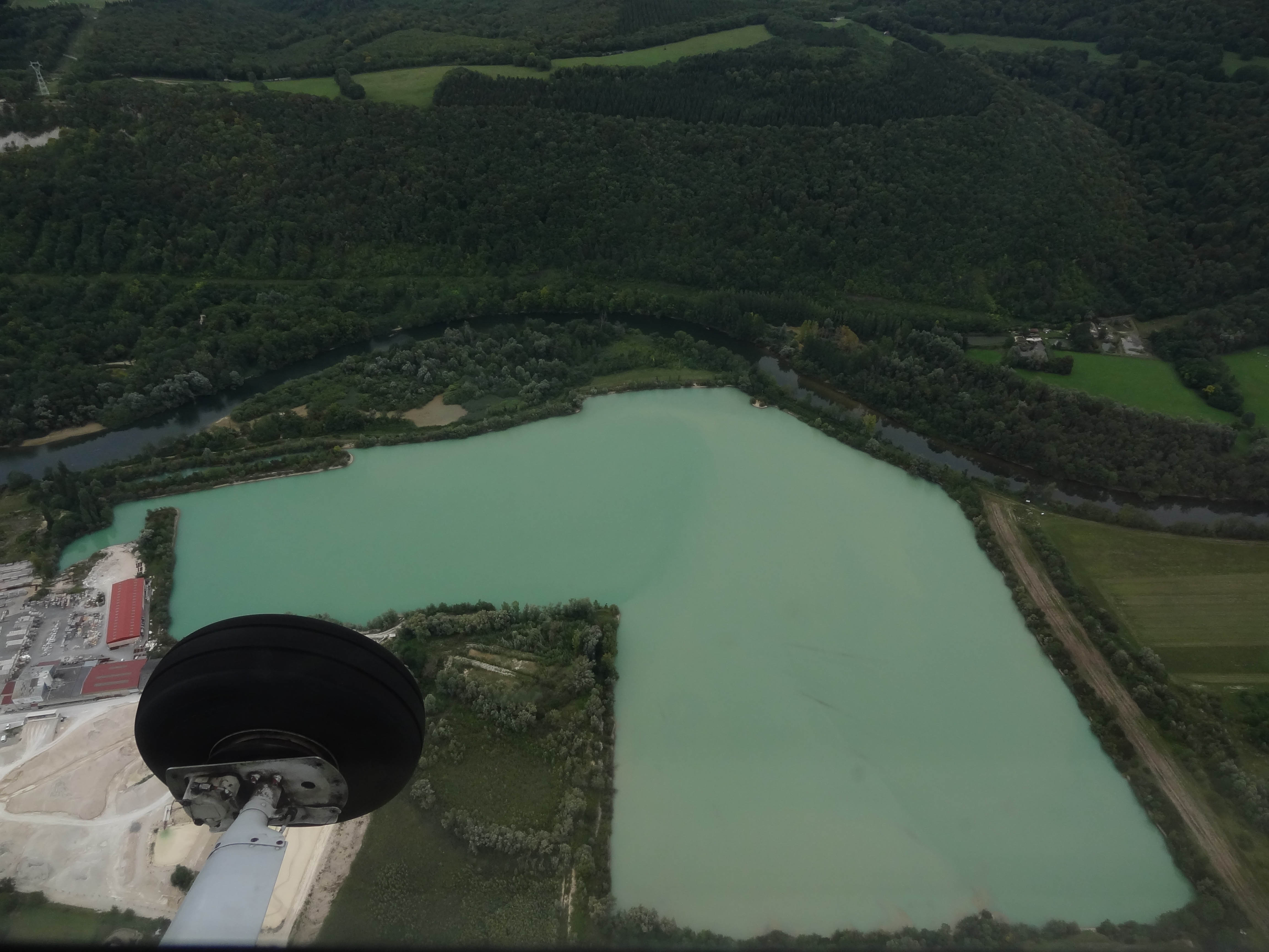
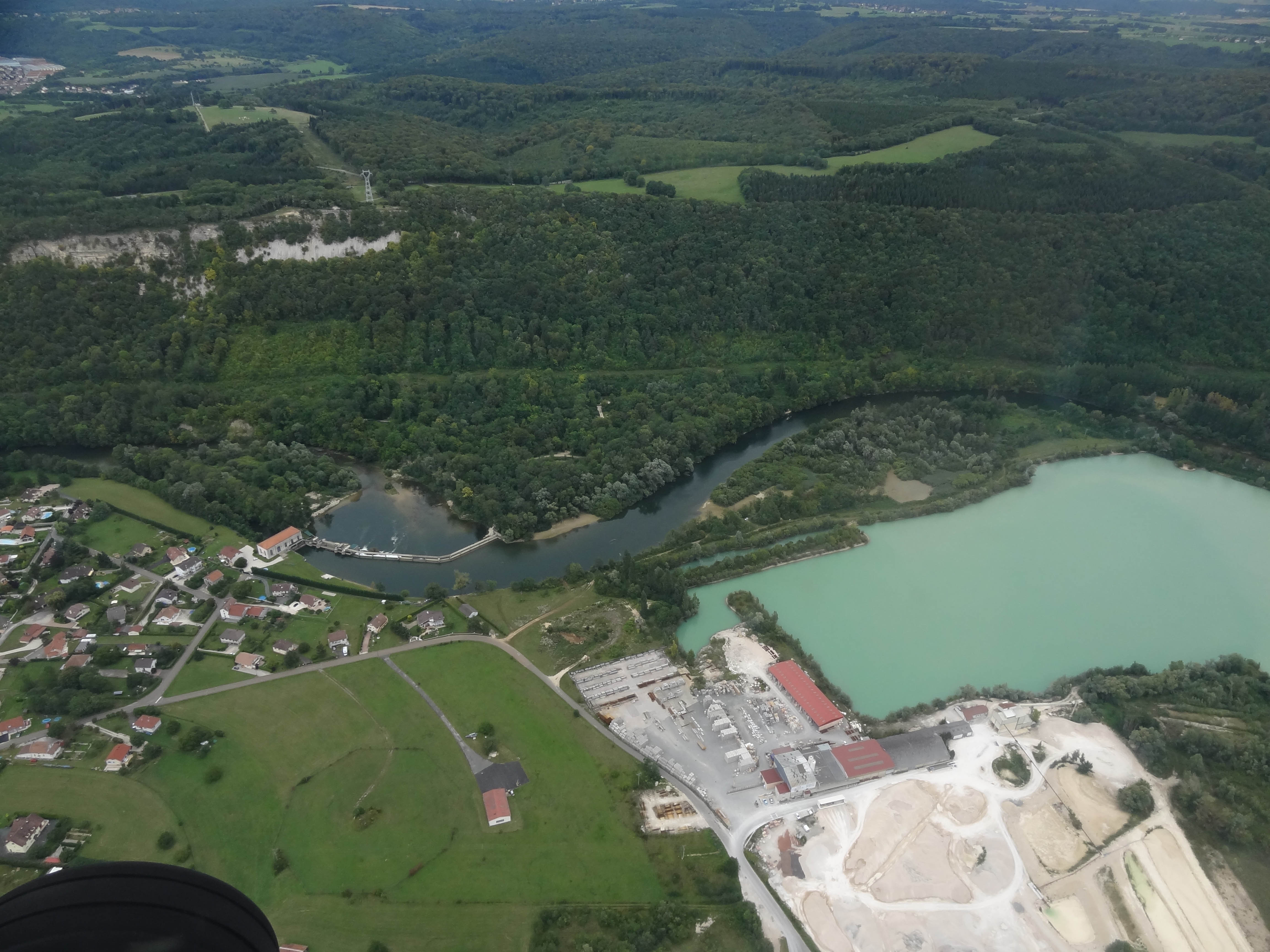
Valentigney and Audincourt on the Doubs River, France
DSC00420.jpg
DSC00405.jpg

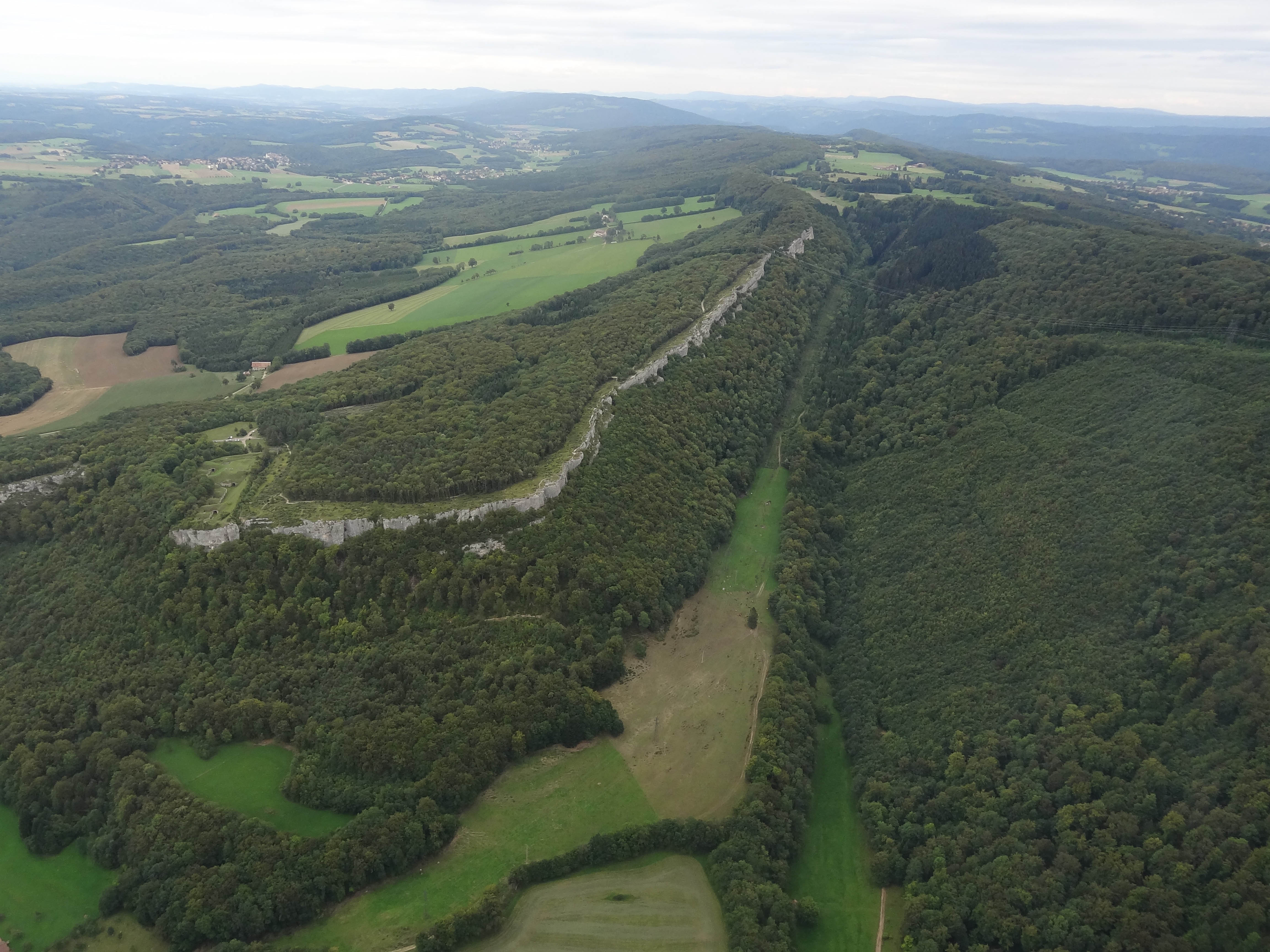
Ghosts Of The Plain (I43)
DSC00409.jpg
DSC00453.jpg

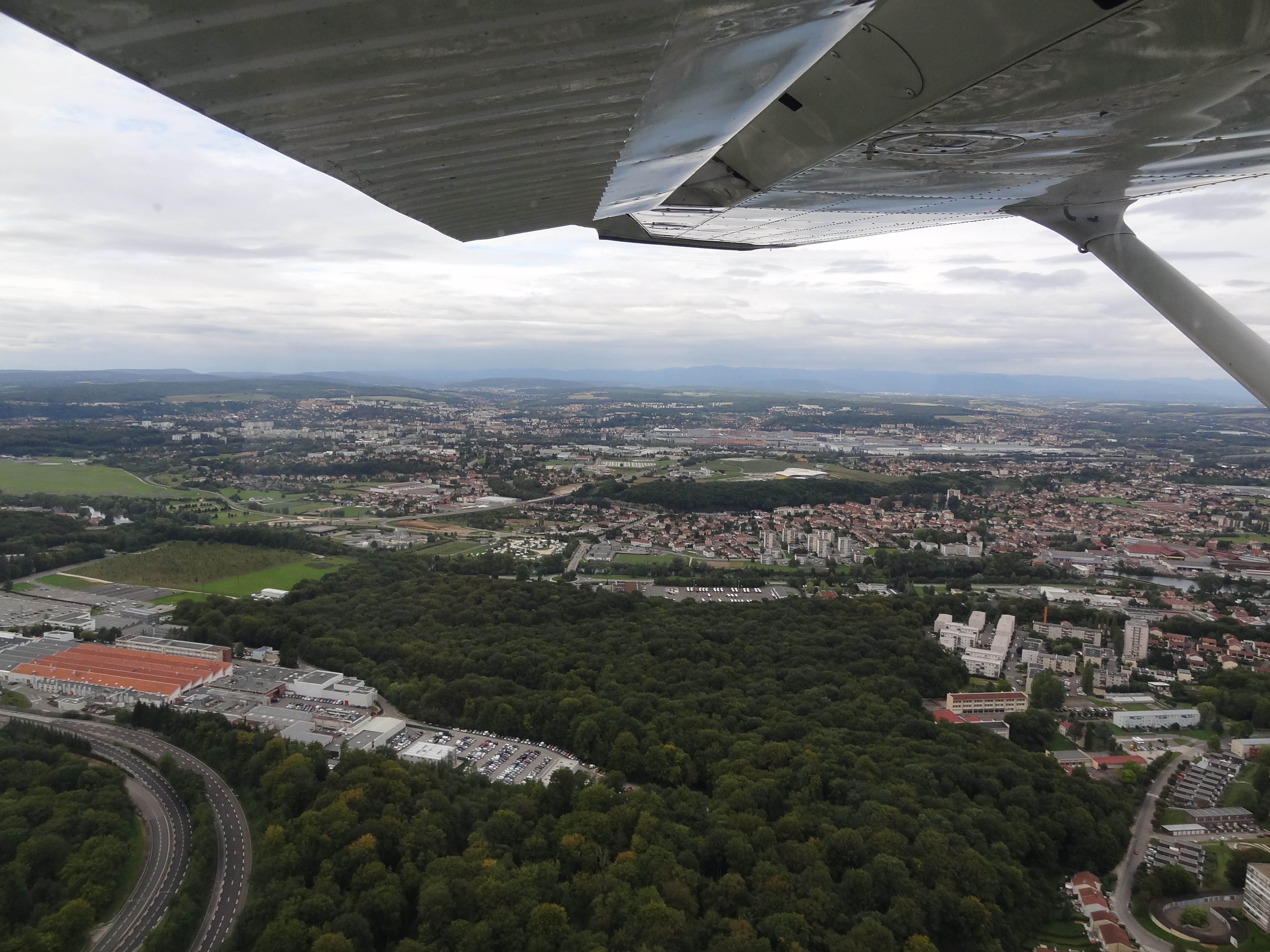
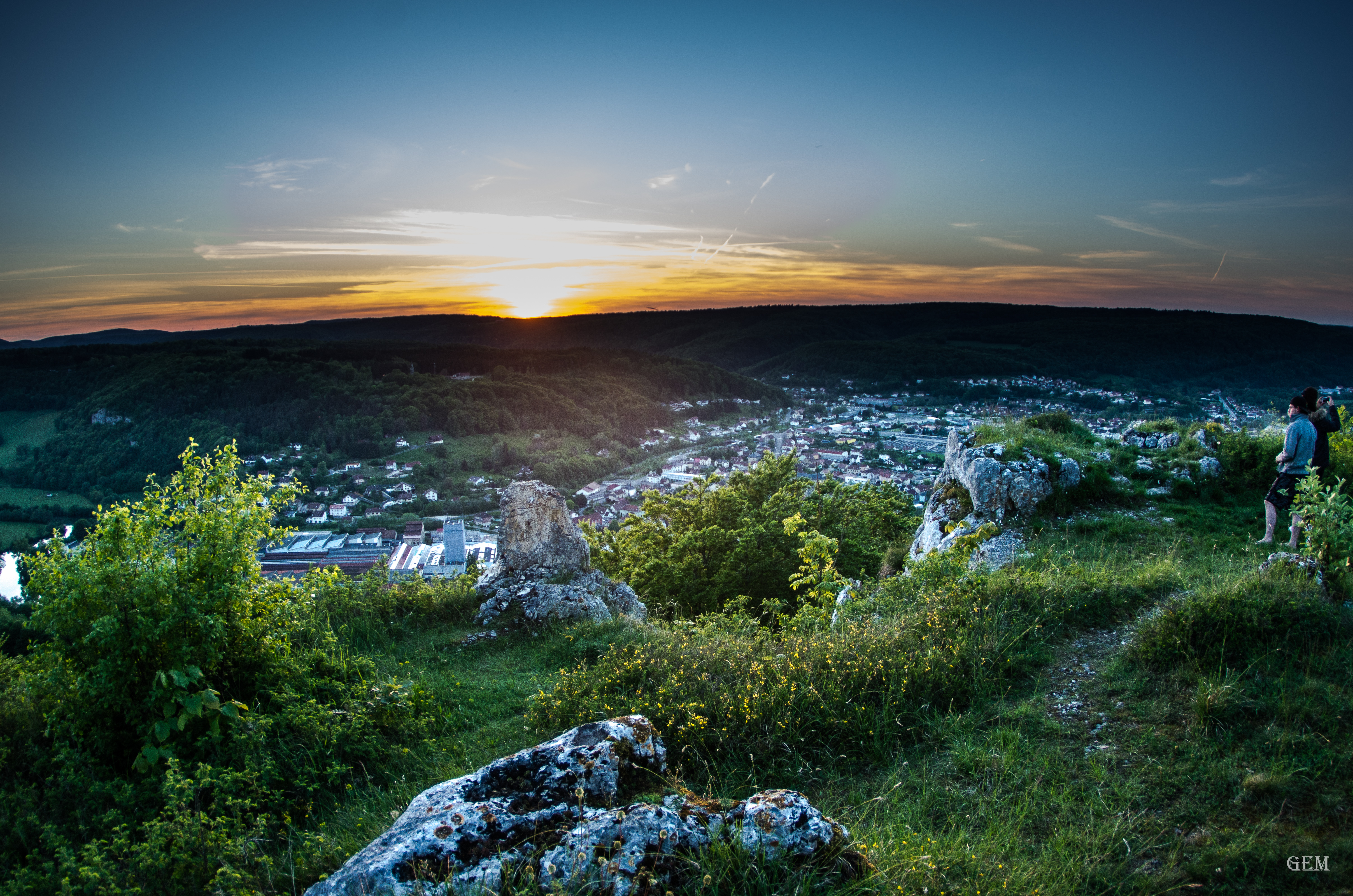
Cris's view of Héricourt
DSC00422.jpg

DSC00442.jpg
DSC00458.jpg
DSC00415.jpg
DSC00408.jpg
DSC00416.jpg

DSC00444.jpg
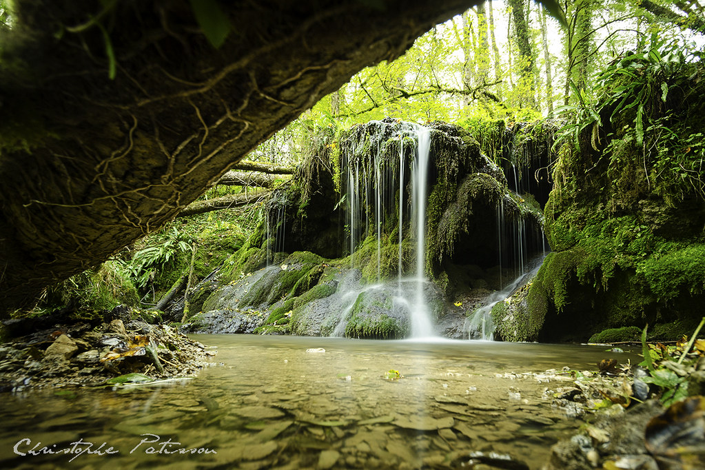
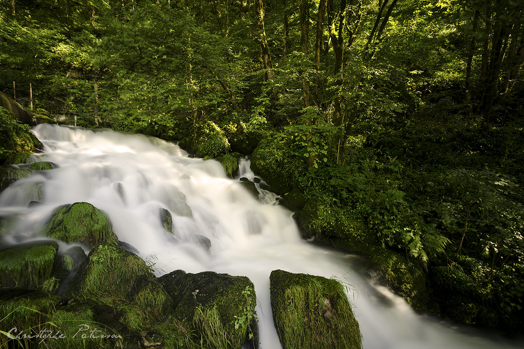
Cascade sur la Creuse, Doubs

nuages-4012
Source de la Doue

Pont ferroviaire sur l' Allan - Montbéliard (Rail bridge on l ' Allan - Montbéliard)
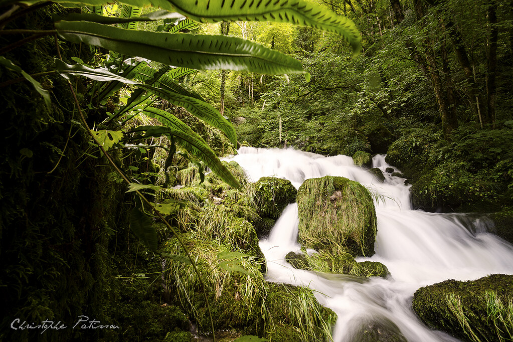
Source de la Doue

~~Printemps nuageux...~~

papillon jaune

abeillle 2
07012014-IMG_4054
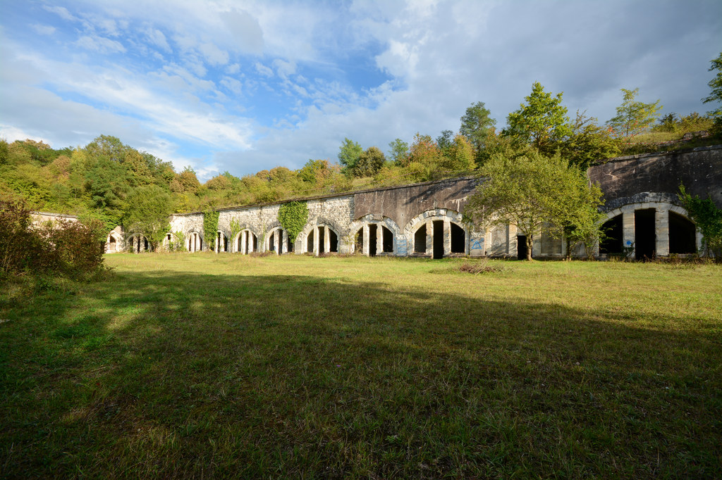
Fort du Bois d'Oye
Pont de Roide-1236

La neige fait son apparition...

~~Le petit ruisseau dans la brume~~

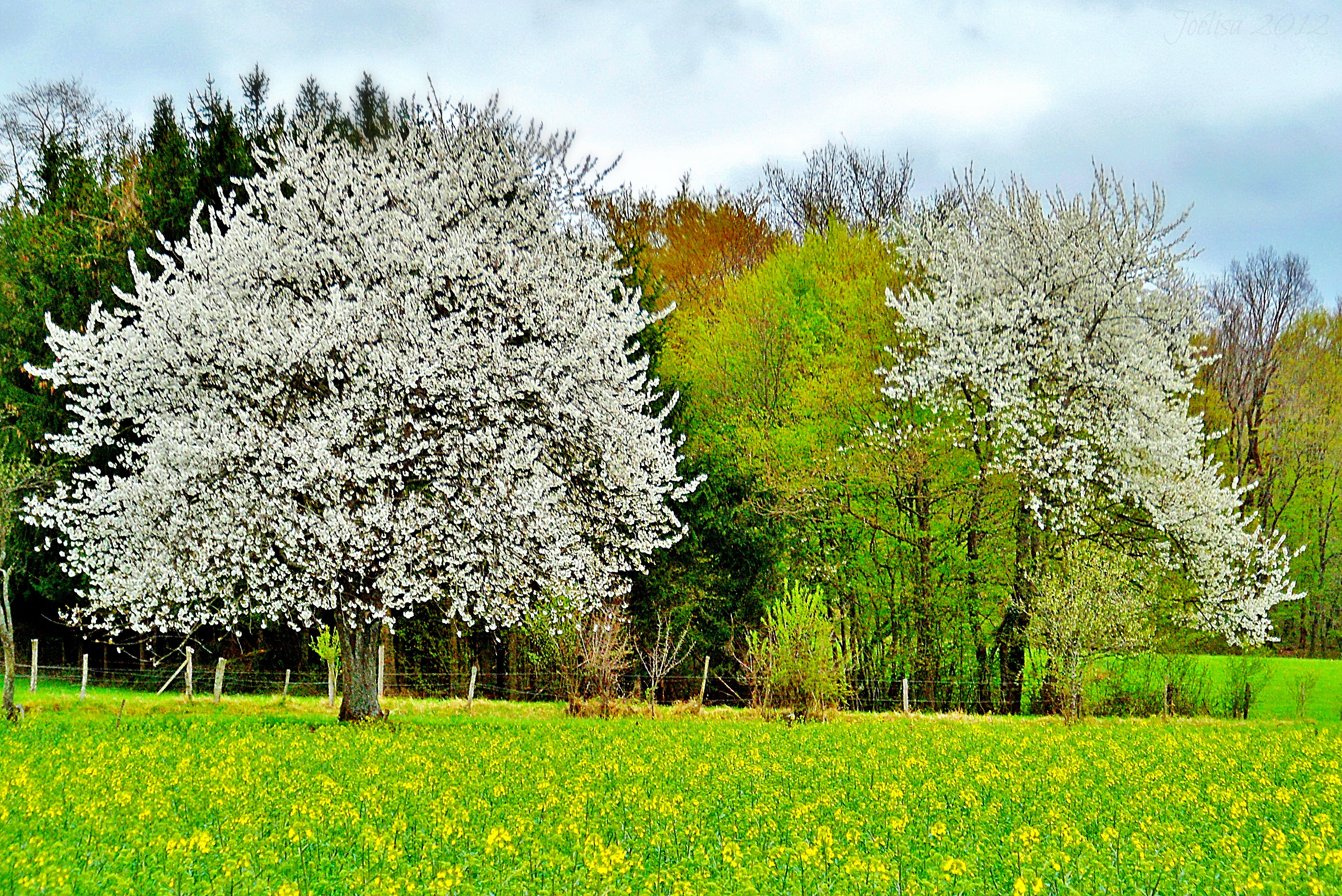
panorama champ

pile de bois

pont de roide-2487

here comes the storm #FlickrFriday #GoldenHour
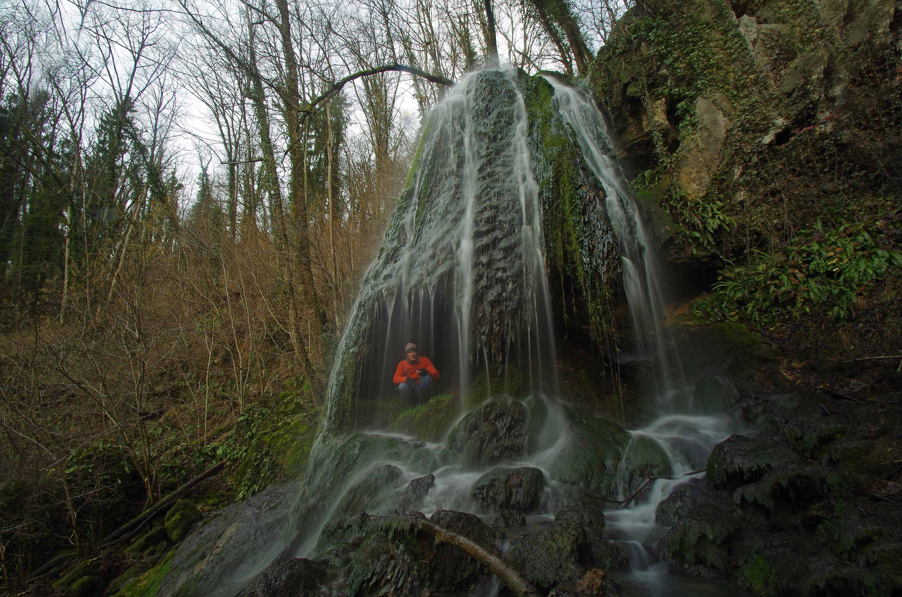
Cascade tufière vers Roches lès Blamont
~~Jaune et blanc~~

Over there the ocean in 1000km #FlickrFriday #OurOcean

Blurified (J22)
Topographic Map of 11B Rue des Écoles, Étouvans, France
Find elevation by address:

Places near 11B Rue des Écoles, Étouvans, France:
41 Grande Rue, Voujeaucourt, France
2 Impasse des Pommiers, Bart, France
Bart
Aibre
42 Rue du Maréchal Juin, Montbéliard, France
22 Rue du Mont, Aibre, France
Montbéliard
1 Rue du Chêne, Héricourt, France
Bethoncourt
16 Rue Jean Pierson, Bethoncourt, France
2 Impasse Fleming
Rue De Champs Vallon
Avenue Jean Jaurès, Héricourt, France
Héricourt
10 Rue Molière, Belfort, France
13 Rue du Dr Eugène Jacquot, Danjoutin, France
Danjoutin
Territoire De Belfort
Chèvremont
5 Rue des Grillons, Chèvremont, France
Recent Searches:
- Elevation of Rojo Ct, Atascadero, CA, USA
- Elevation of Flagstaff Drive, Flagstaff Dr, North Carolina, USA
- Elevation of Avery Ln, Lakeland, FL, USA
- Elevation of Woolwine, VA, USA
- Elevation of Lumagwas Diversified Farmers Multi-Purpose Cooperative, Lumagwas, Adtuyon, RV32+MH7, Pangantucan, Bukidnon, Philippines
- Elevation of Homestead Ridge, New Braunfels, TX, USA
- Elevation of Orchard Road, Orchard Rd, Marlborough, NY, USA
- Elevation of 12 Hutchinson Woods Dr, Fletcher, NC, USA
- Elevation of Holloway Ave, San Francisco, CA, USA
- Elevation of Norfolk, NY, USA