Elevation of Lumpo
Longitude: 91.731339
Latitude: 27.704195
Elevation: 2189m / 7182feet
Barometric Pressure: 78KPa
Elevation Map:
Satellite Map:
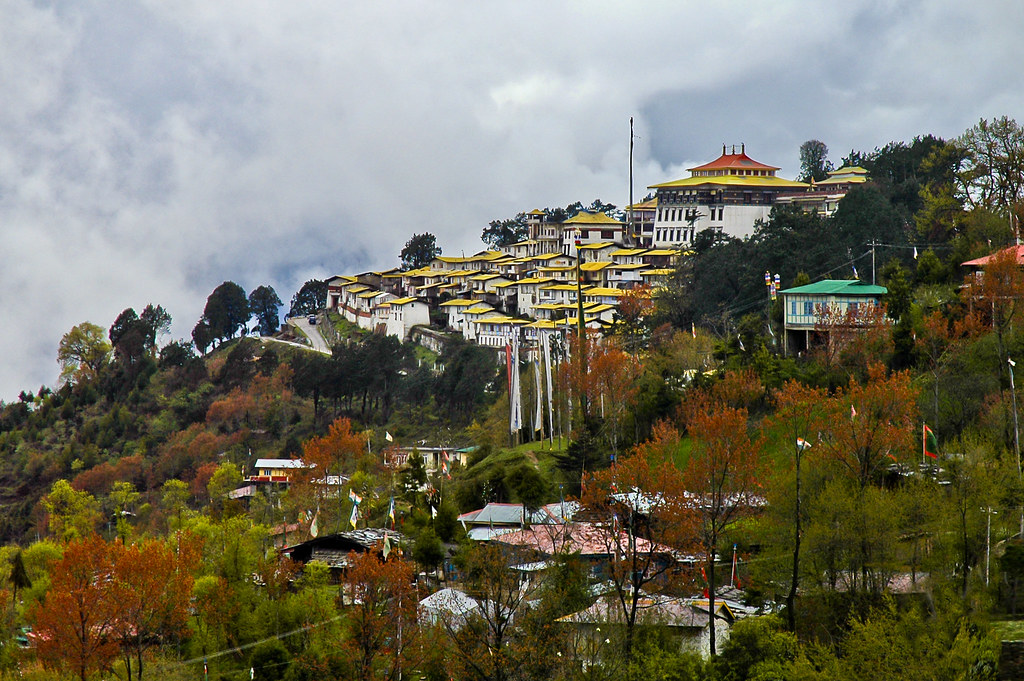
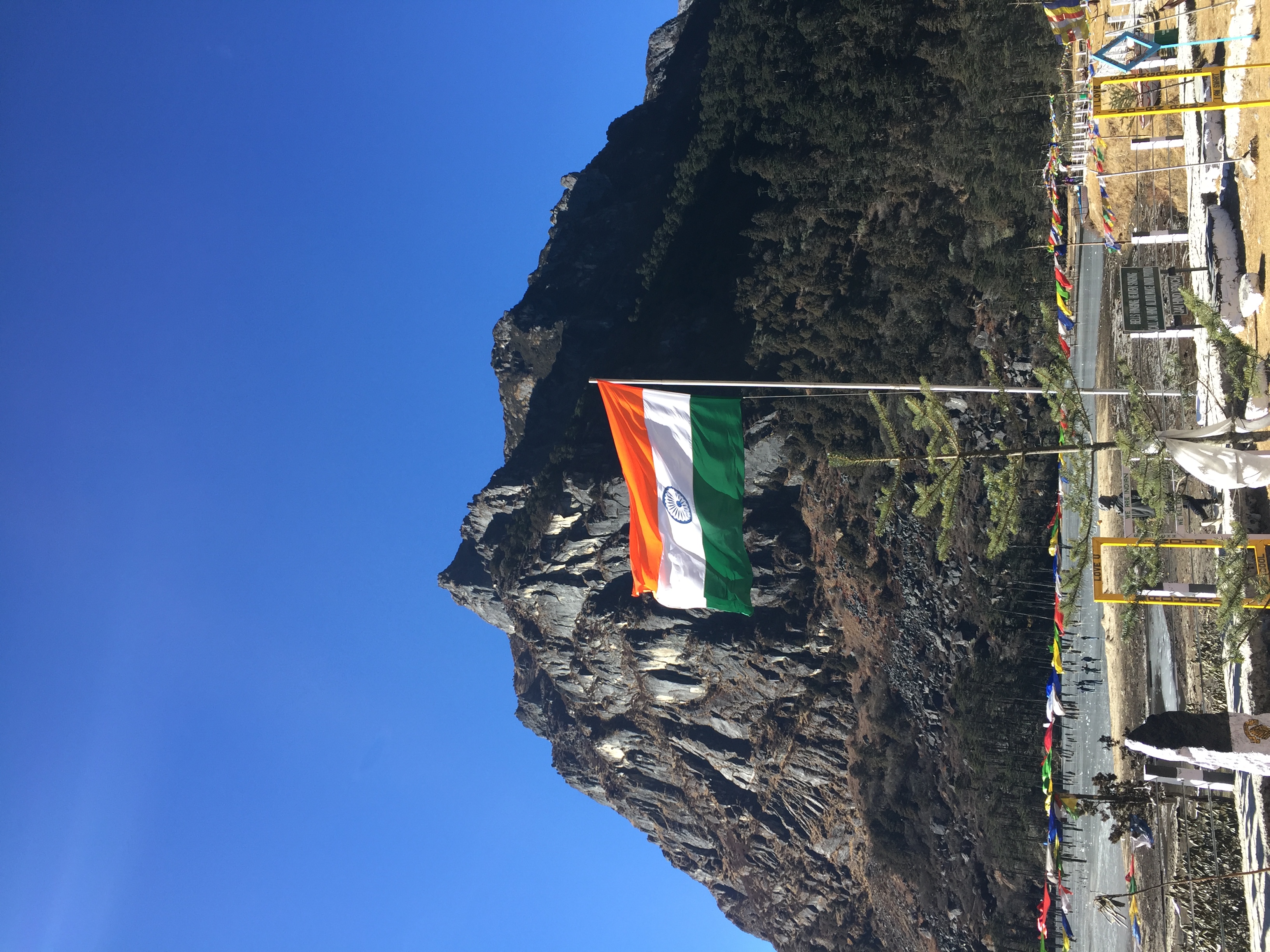
Related Photos:
Enroute to Tawang
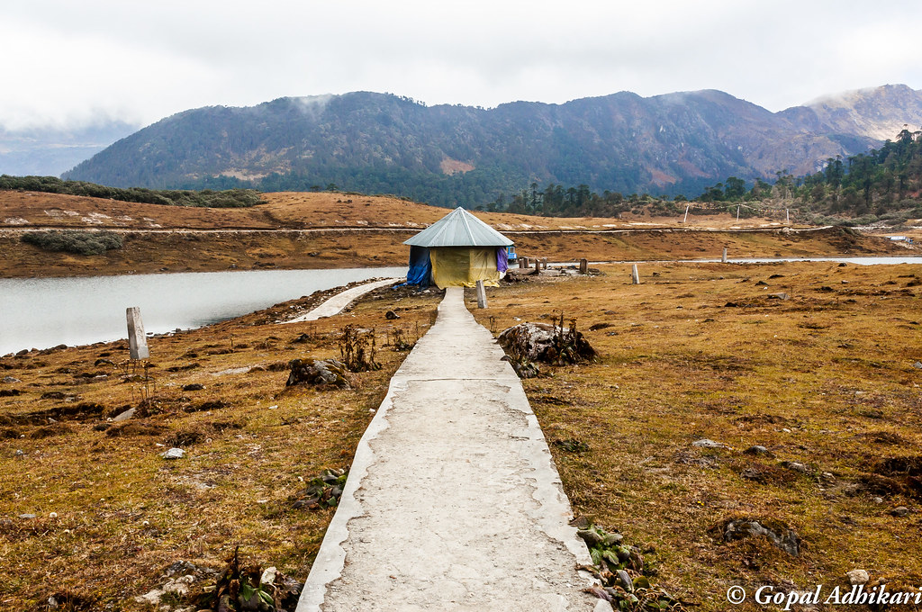
Pangateng Tso Lake
Enroute to Madhuri Lake
PANO_20171209_150927.jpg

PANO_20171209_151115.jpg

PANO_20171209_161213.jpg
Tawang - The Beautiful and the Fragile and the Ephemeral
Sangestar Tso lake

Arunachal Pradesh, IndiaLama Chopa Puja
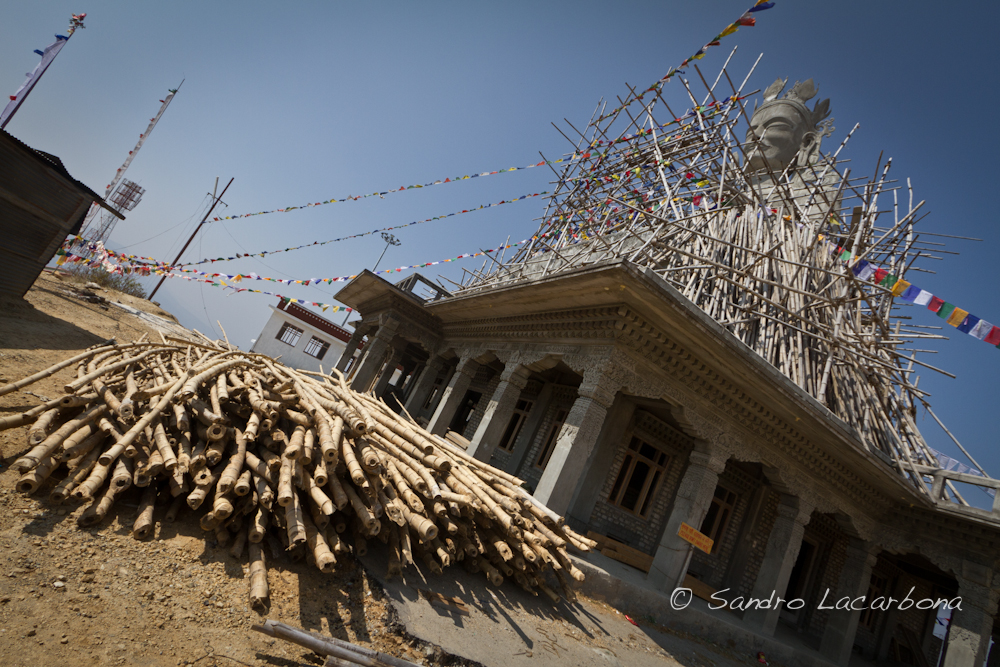
Tara white at Lumla
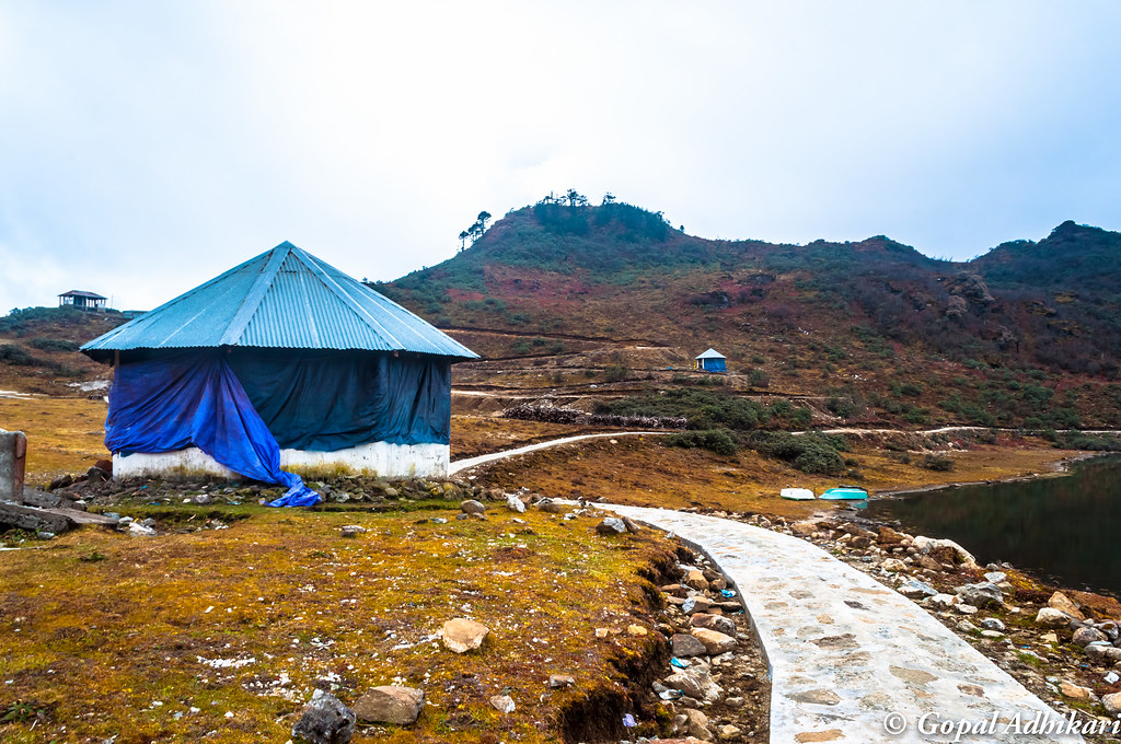
Enroute to Madhuri Lake
Enroute to Madhuri Lake
Topographic Map of Lumpo
Find elevation by address:

Places near Lumpo:
Taktsang Gompa Twang
Bum La Pass
Lumla Village
Jhamtse Gatsal School
Tawang
Tsenkharla
Doksum
Trashiyangtse
Trashigang
Chungkar
Bomdila
Kangtö
Samdrup Jongkhar
Bogajuli
Harotola
Paharpur Market
Subankhata
Subankhata
Udalguri
Recent Searches:
- Elevation of Bydgoszcz, Poland
- Elevation of Bydgoszcz, Poland
- Elevation of Calais Dr, Del Mar, CA, USA
- Elevation of Placer Mine Ln, West Jordan, UT, USA
- Elevation of E 63rd St, New York, NY, USA
- Elevation of Elk City, OK, USA
- Elevation of Erika Dr, Windsor, CA, USA
- Elevation of Village Ln, Finleyville, PA, USA
- Elevation of 24 Oakland Rd #, Scotland, ON N0E 1R0, Canada
- Elevation of Deep Gap Farm Rd E, Mill Spring, NC, USA