Elevation of Chungkar, Pemagatsel, Bhutan
Location: Bhutan > Pemagatshel > Pemagatsel >
Longitude: 91.421722
Latitude: 27.04817
Elevation: 1833m / 6014feet
Barometric Pressure: 81KPa
Elevation Map:
Satellite Map:
Related Photos:
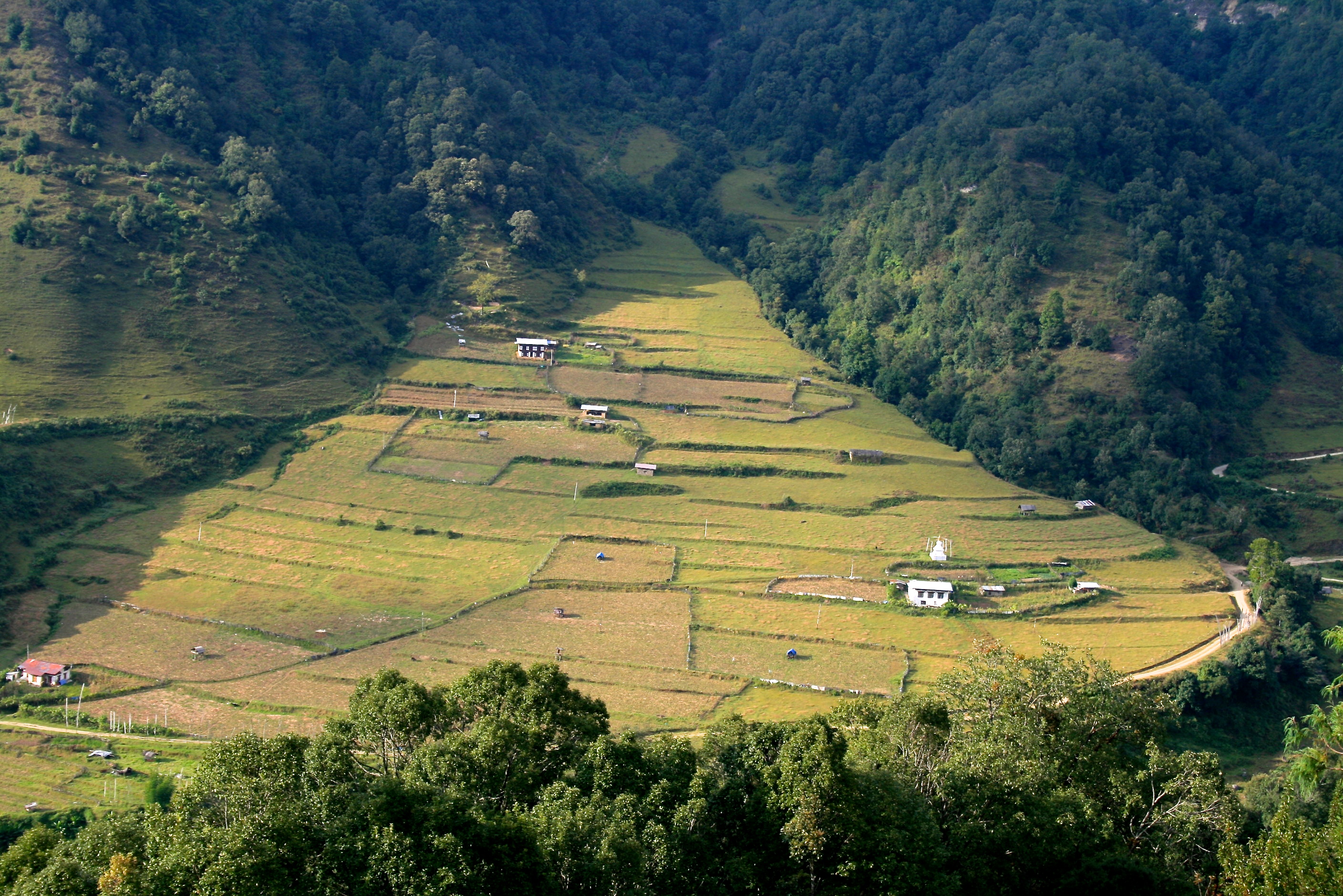
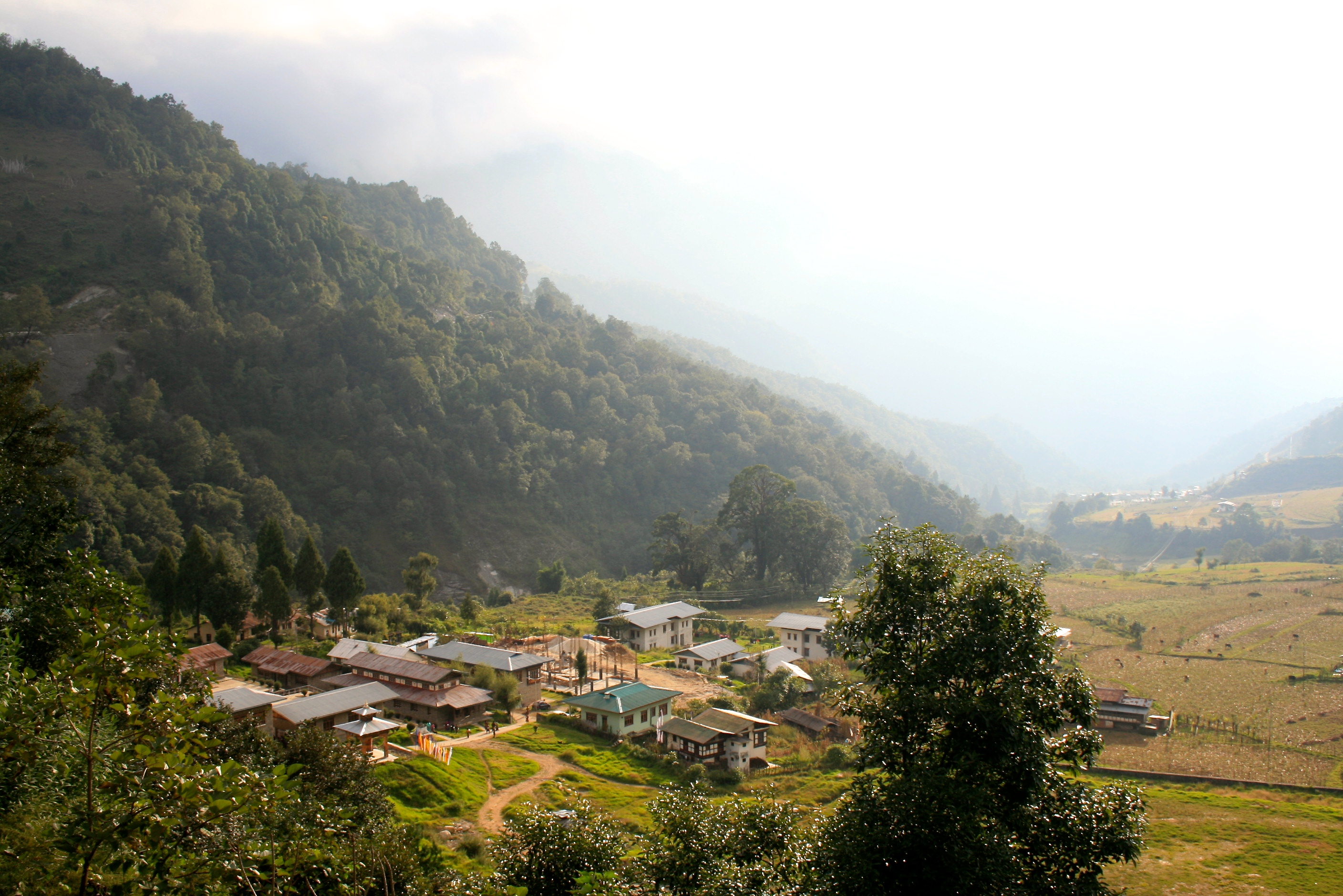
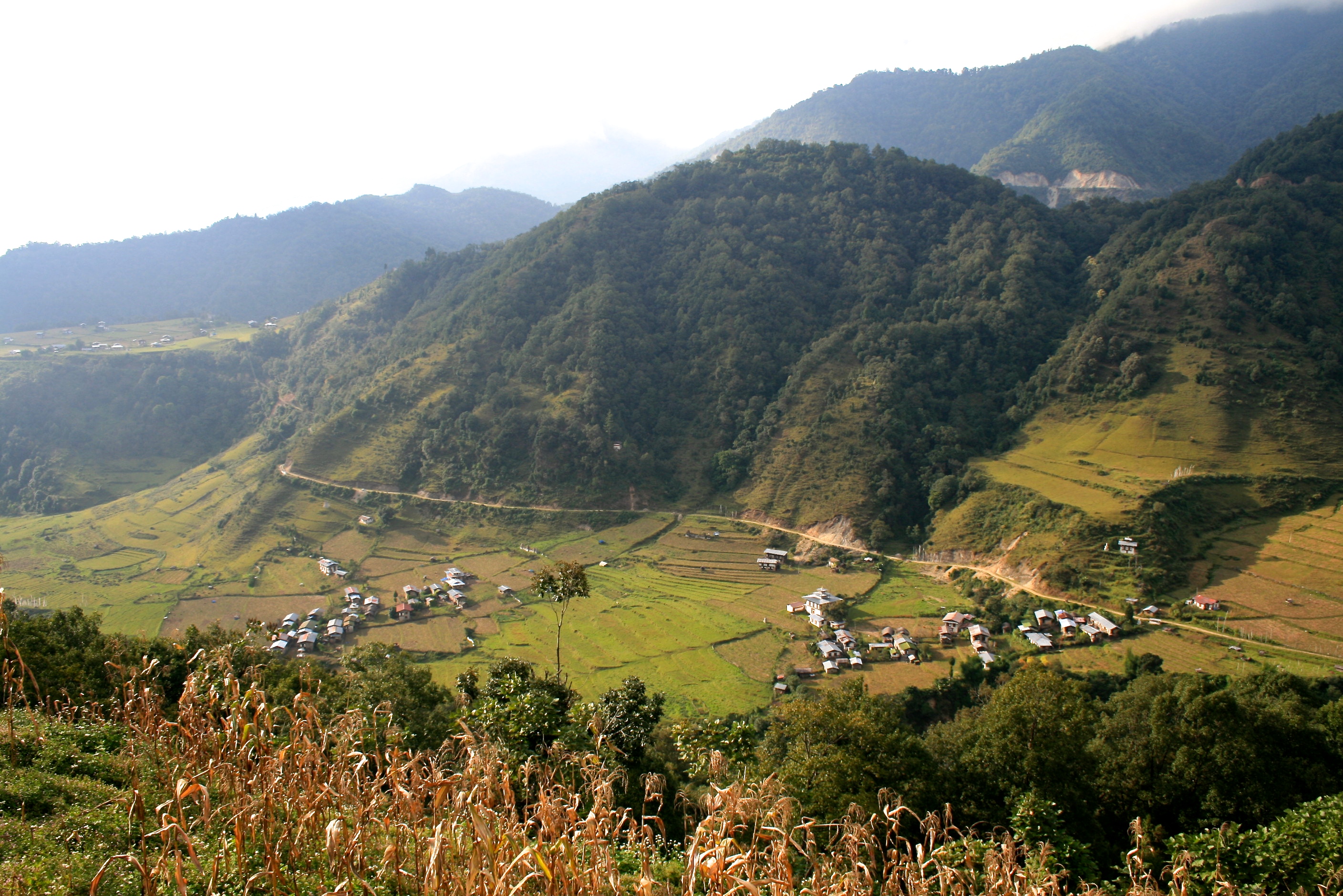
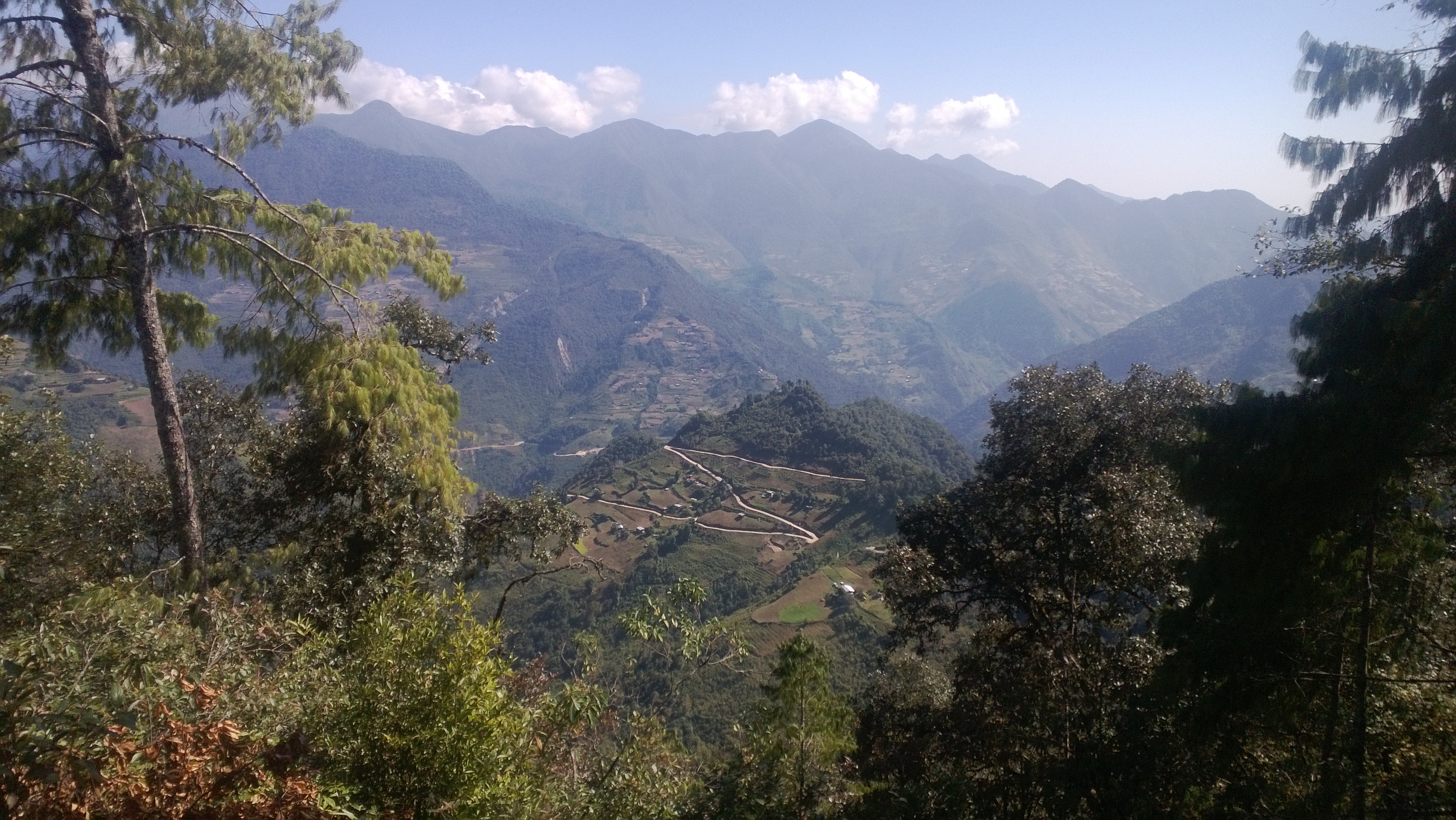
Alternance de forêts de feuillus et de parcelles cultivées
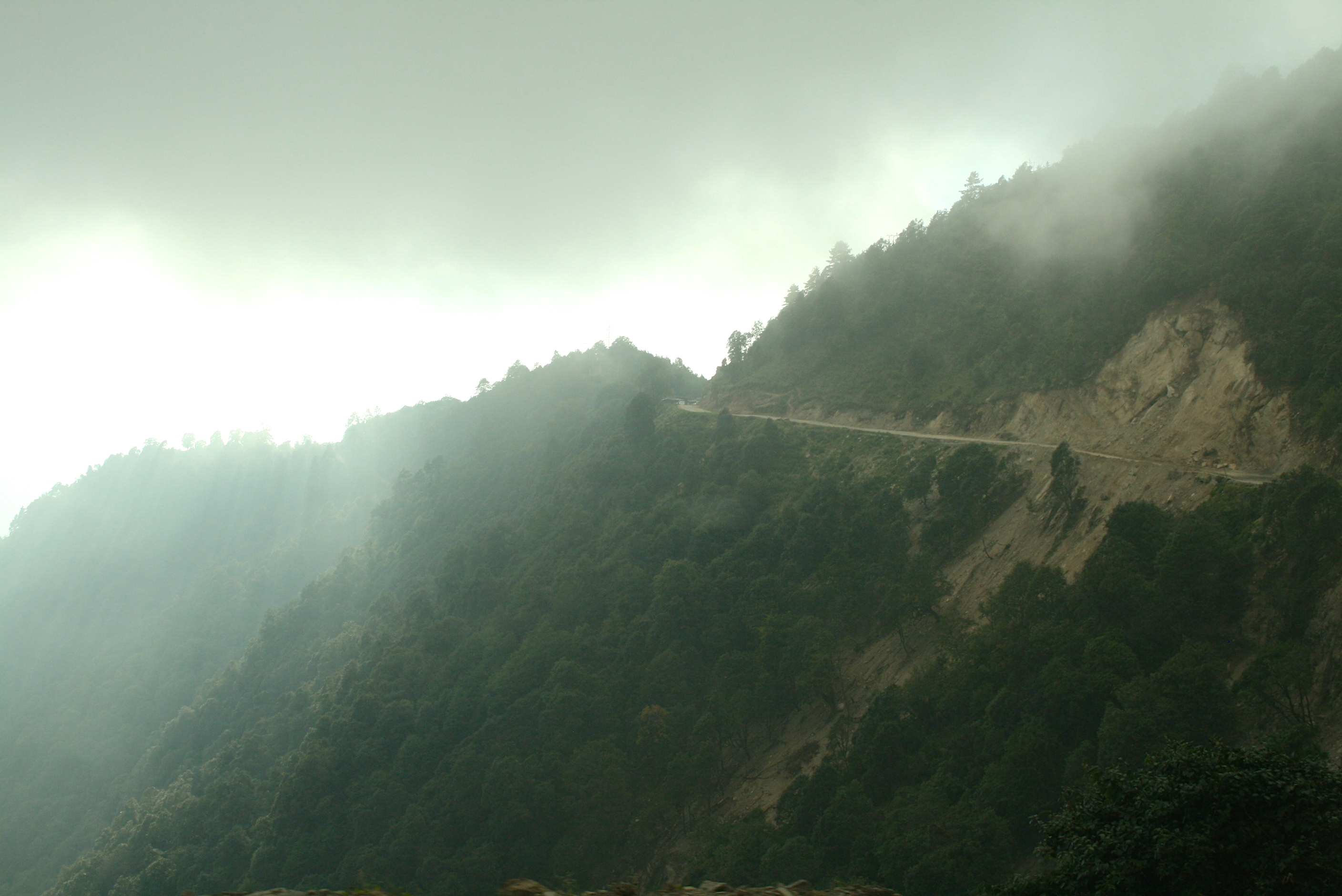
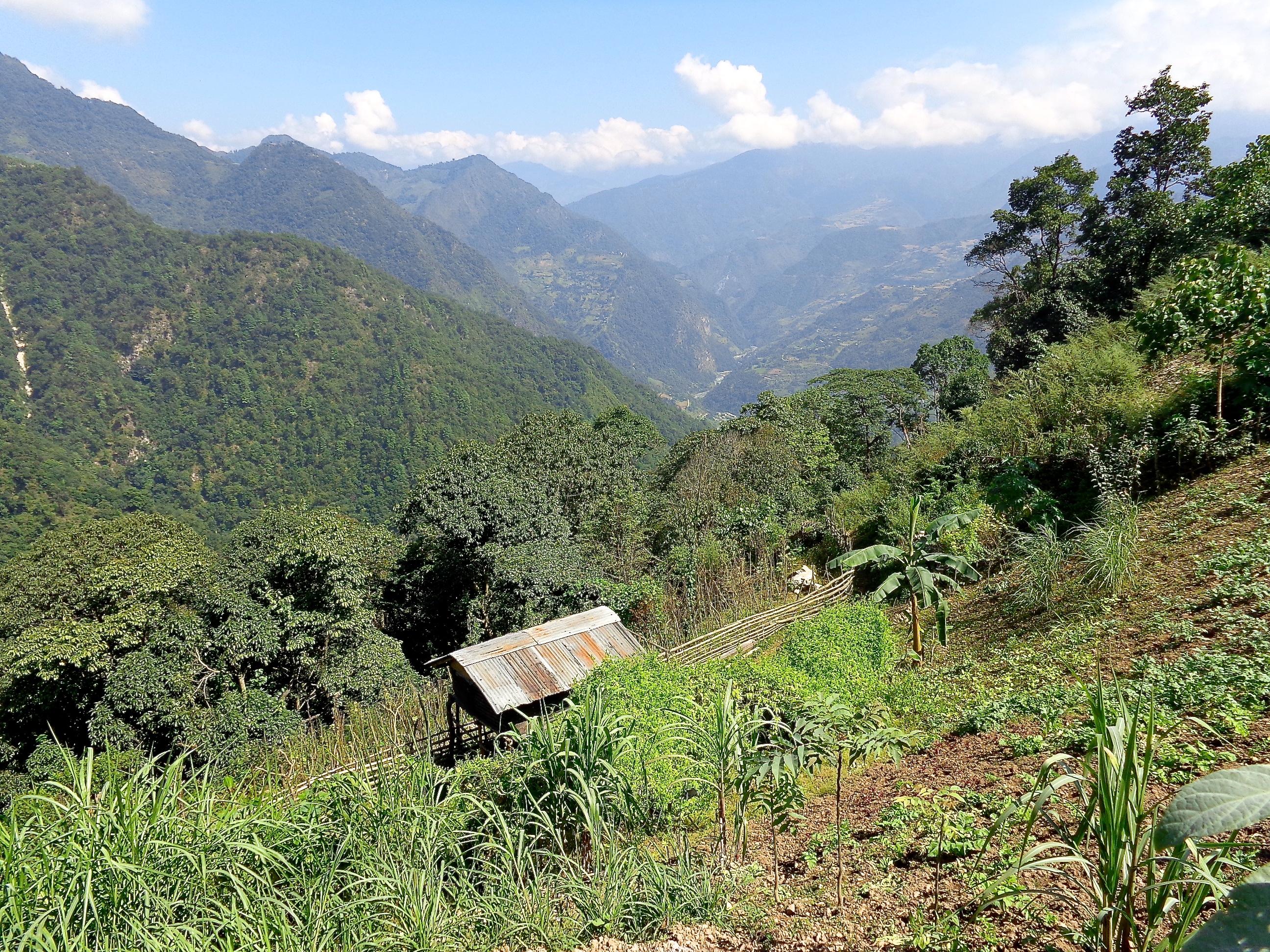
Route montant au Yongphu La
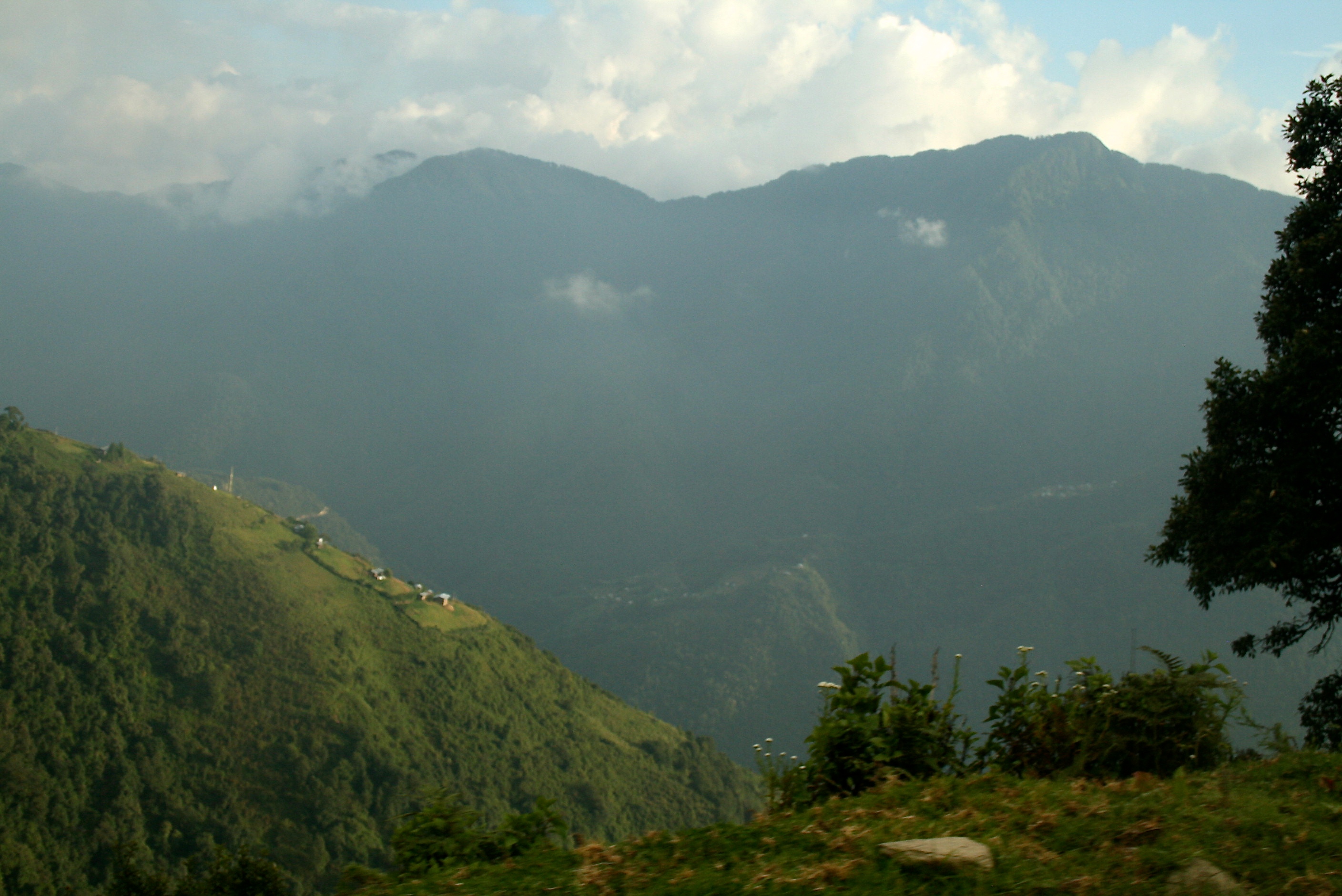
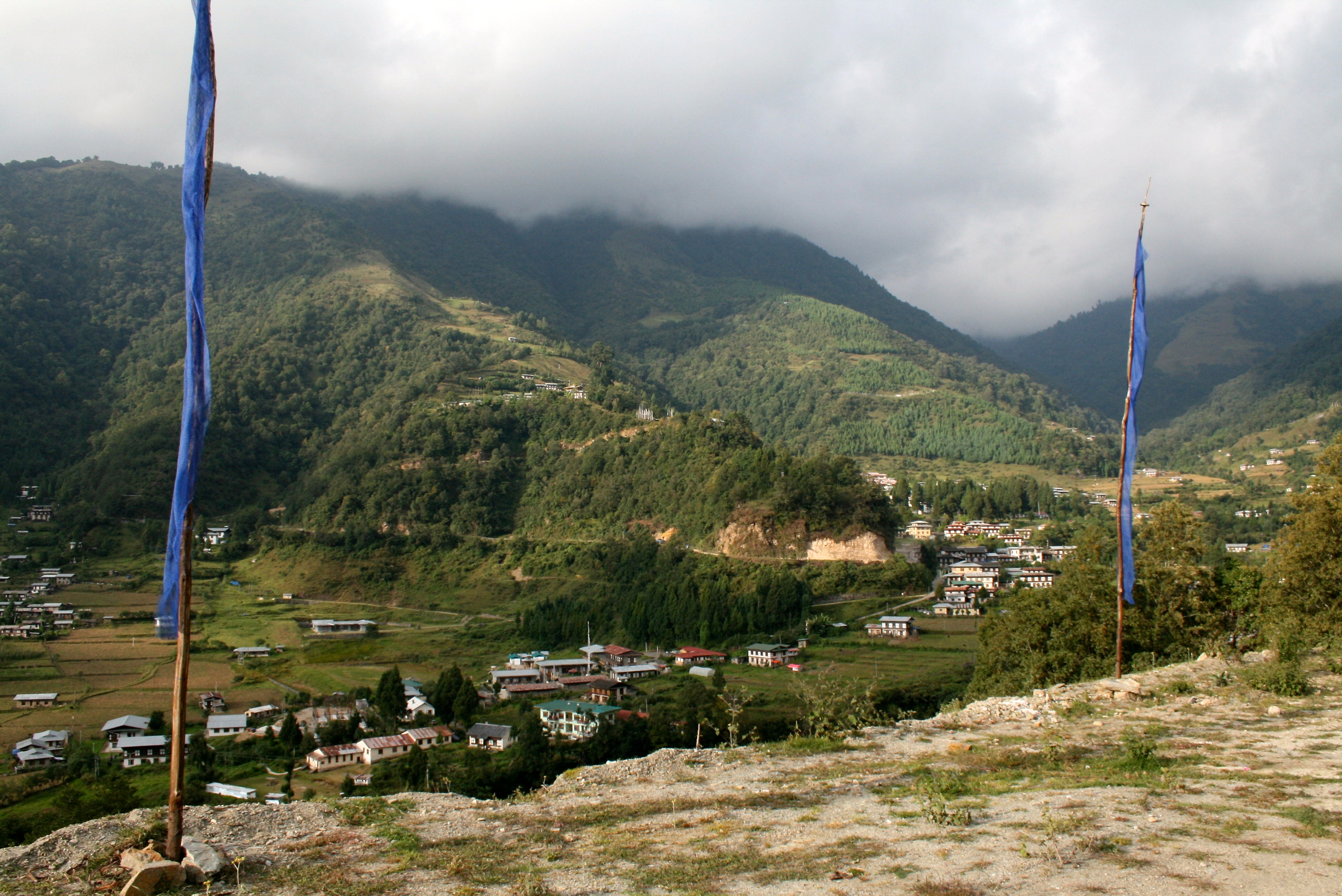
Panorama entre Khaling et Sherubtse
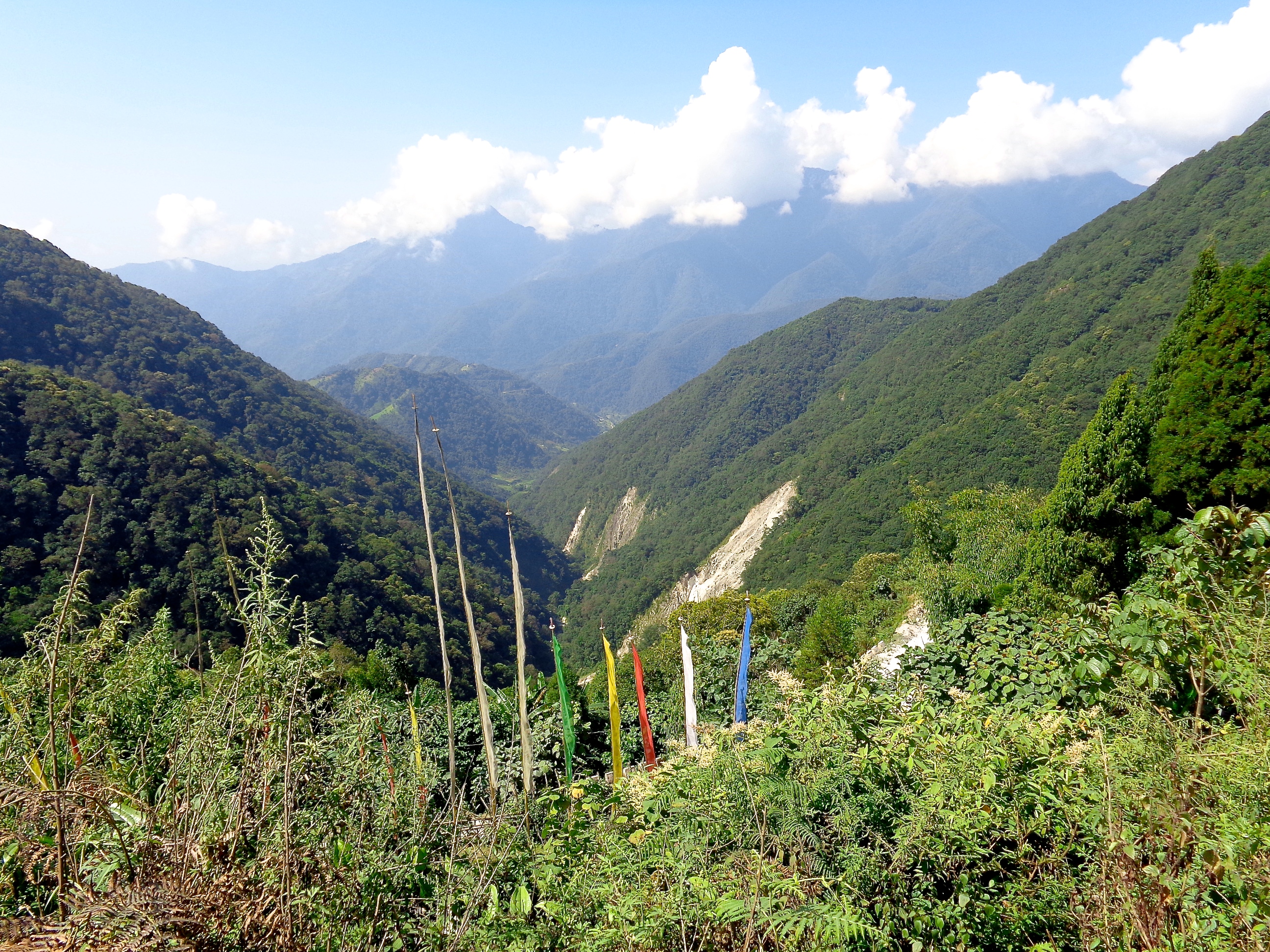
Panorama vertigineux depuis la route
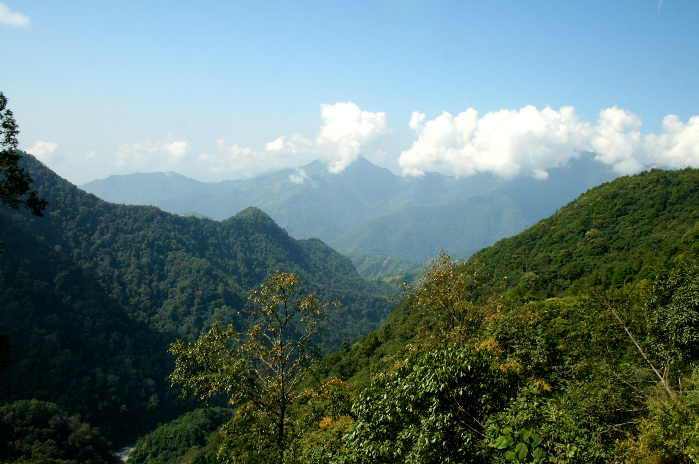
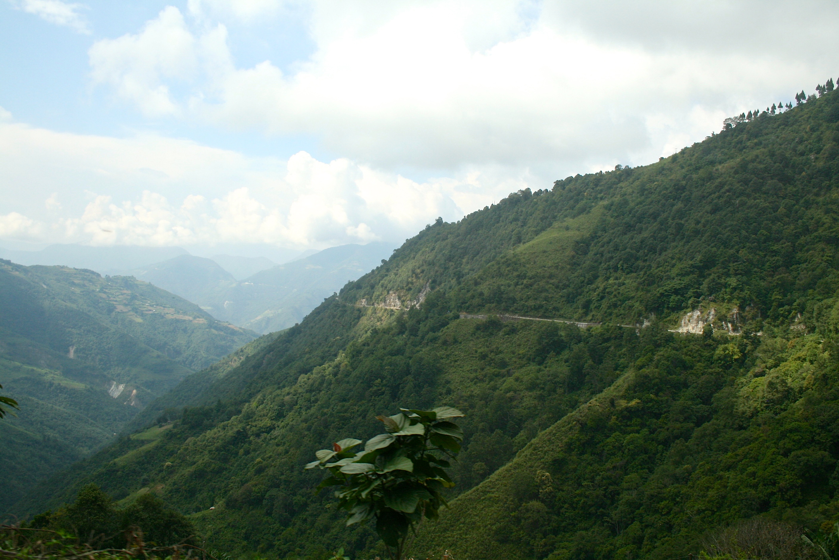
Un paysage montagneux et luxuriant
Paysage entre Khaling et Sherubtse
Montée du Yongphu La (2190m)
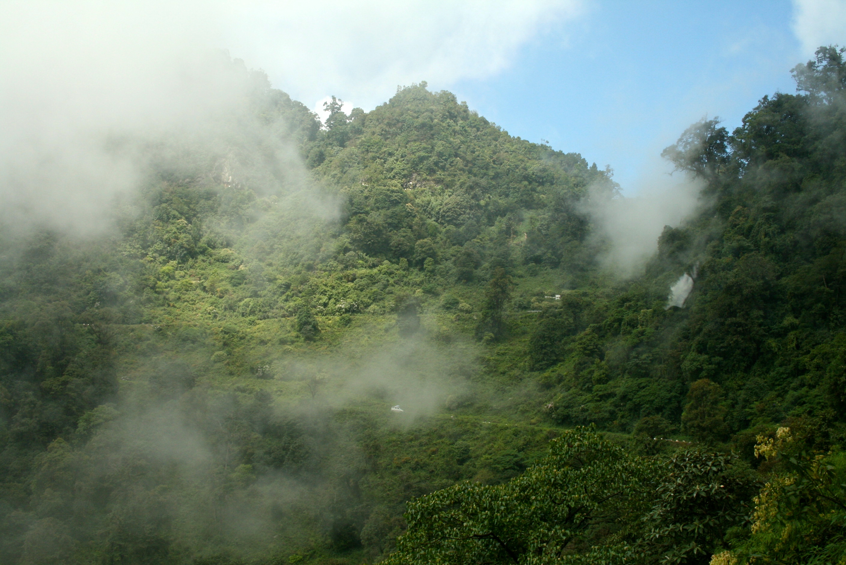
Montée à travers les nuages
La route serpente sans fin

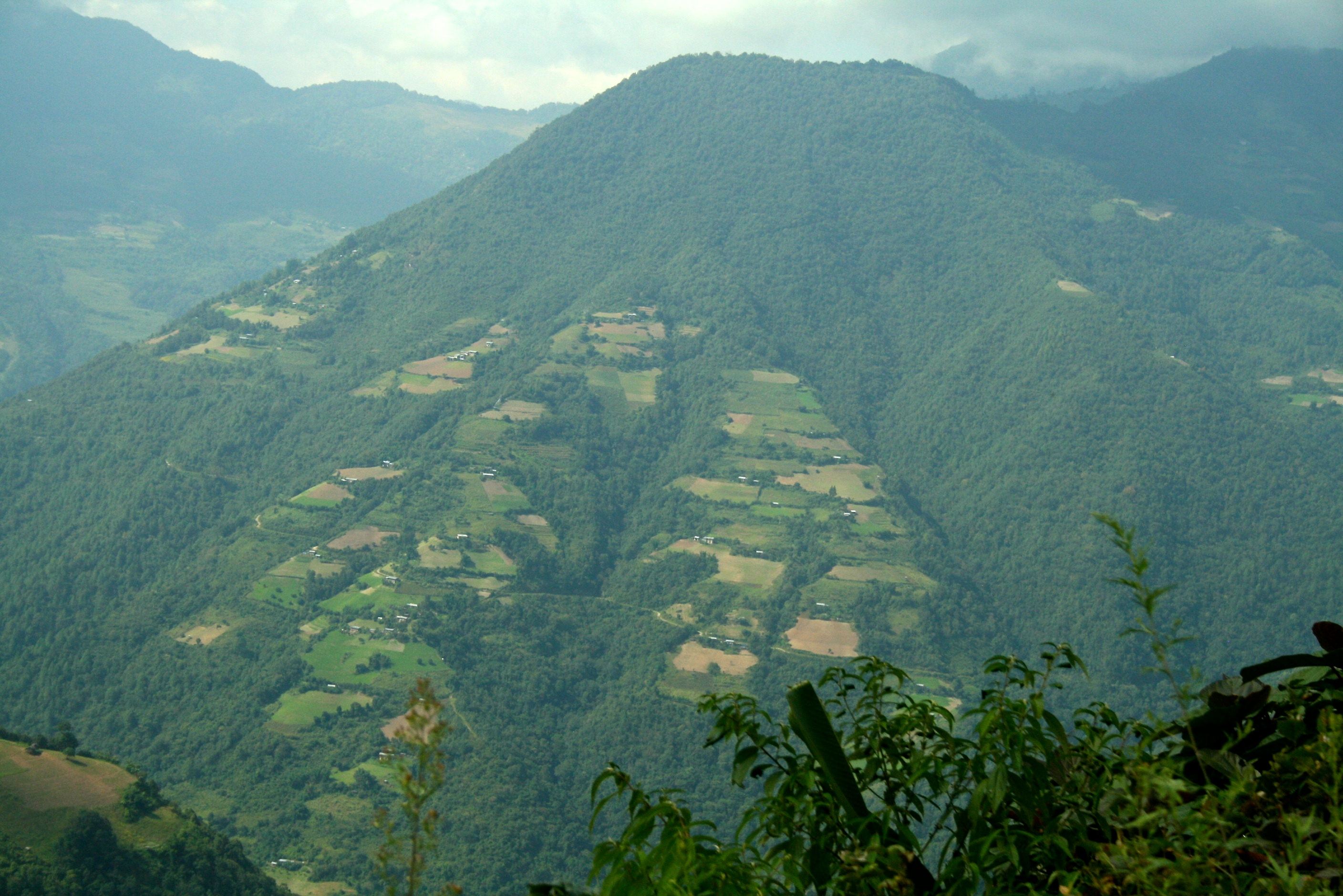
Paysage montagneux et végétation subtropicale
Montée du Yongphu La (2190m)
Paysage montagneux et végétation subtropicale
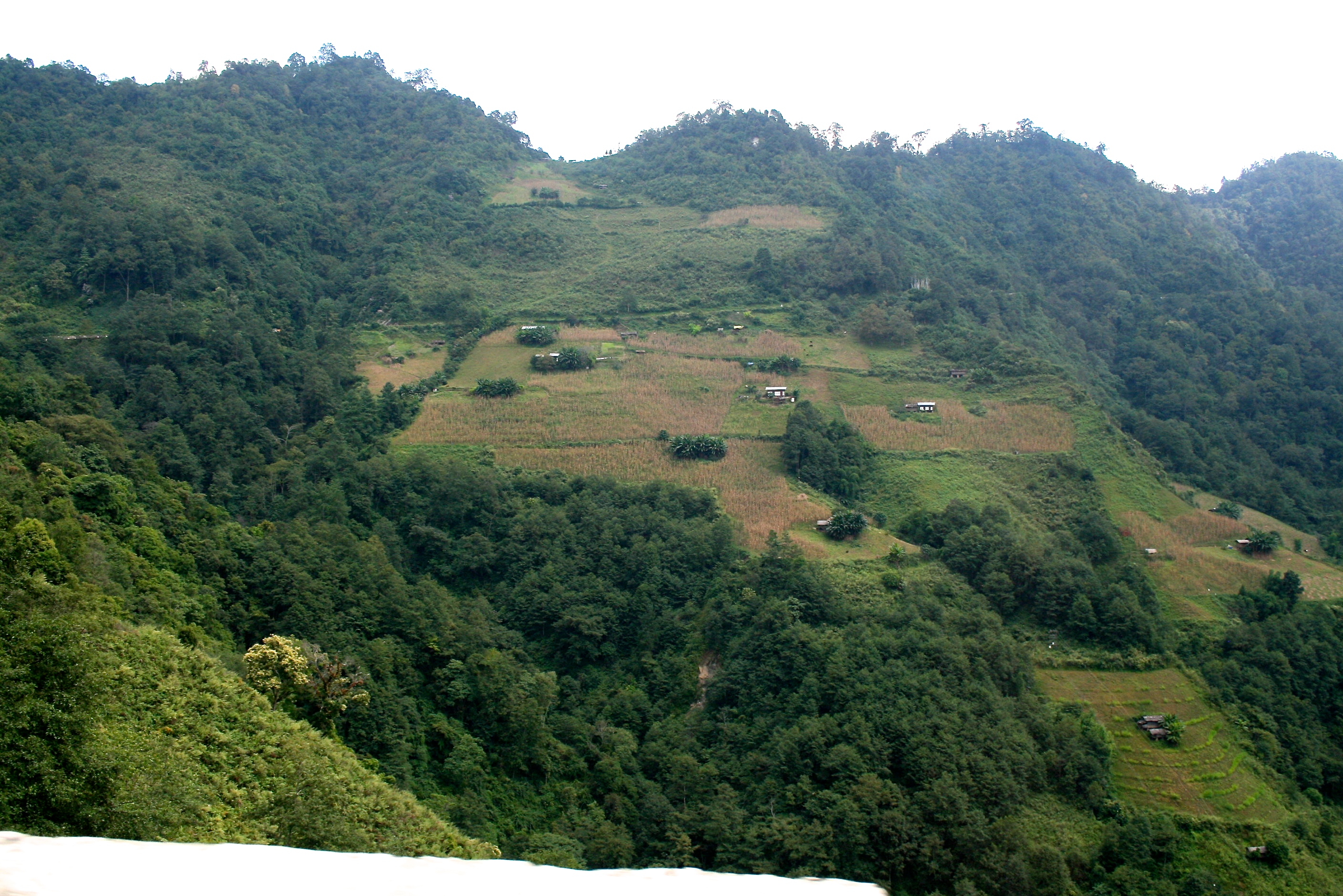
Alternance de forêts et de zones cultivées
Trashigang to Samdrup Jongkhar
Végétation subtropicale (altitude d'environ 1500m)
Topographic Map of Chungkar, Pemagatsel, Bhutan
Find elevation by address:

Places near Chungkar, Pemagatsel, Bhutan:
Samdrup Jongkhar
Harotola
Paharpur Market
Bogajuli
Subankhata
Subankhata
Trashigang
Doksum
Tsenkharla
Jhamtse Gatsal School
Lumla Village
Tawang
Lumpo
Udalguri
Taktsang Gompa Twang
Trashiyangtse
Bum La Pass
Bomdila
Kangtö
Recent Searches:
- Elevation of Lampiasi St, Sarasota, FL, USA
- Elevation of Elwyn Dr, Roanoke Rapids, NC, USA
- Elevation of Congressional Dr, Stevensville, MD, USA
- Elevation of Bellview Rd, McLean, VA, USA
- Elevation of Stage Island Rd, Chatham, MA, USA
- Elevation of Shibuya Scramble Crossing, 21 Udagawacho, Shibuya City, Tokyo -, Japan
- Elevation of Jadagoniai, Kaunas District Municipality, Lithuania
- Elevation of Pagonija rock, Kranto 7-oji g. 8"N, Kaunas, Lithuania
- Elevation of Co Rd 87, Jamestown, CO, USA
- Elevation of Tenjo, Cundinamarca, Colombia