Elevation of Lowry Rd, Lowry, VA, USA
Location: United States > Virginia > Bedford County > Center >
Longitude: -79.430758
Latitude: 37.350277
Elevation: 247m / 810feet
Barometric Pressure: 98KPa
Elevation Map:
Satellite Map:
Related Photos:

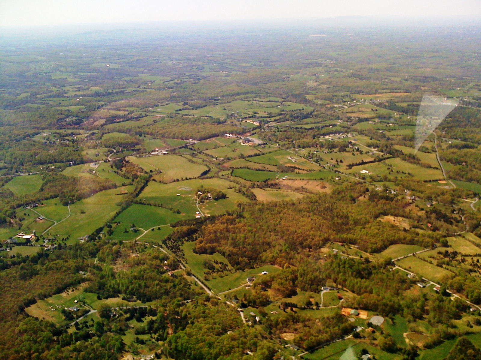
Virginia Road
Swansons' View
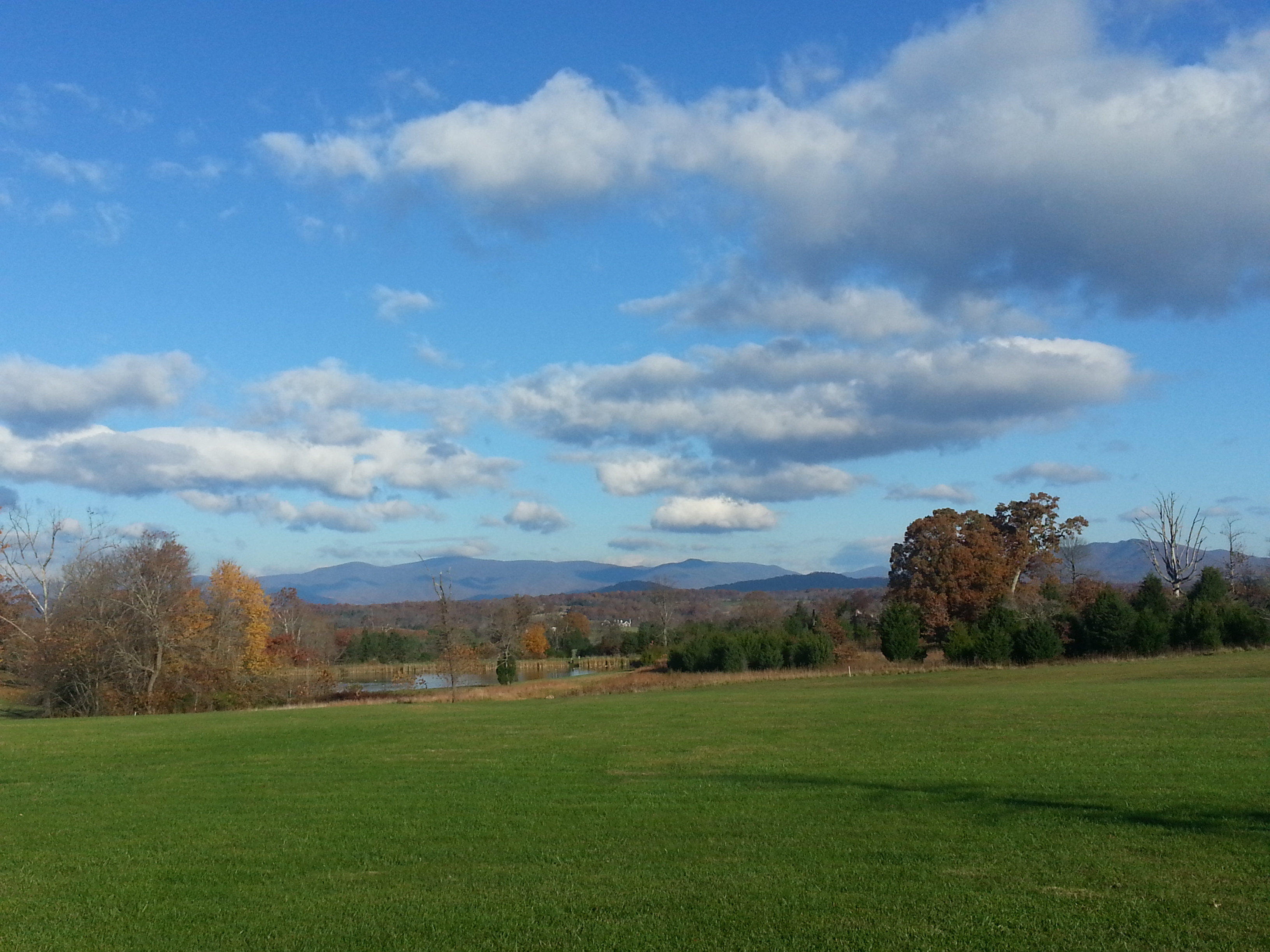
Grassy Mountain

Sharp Top Mountain, Virginia
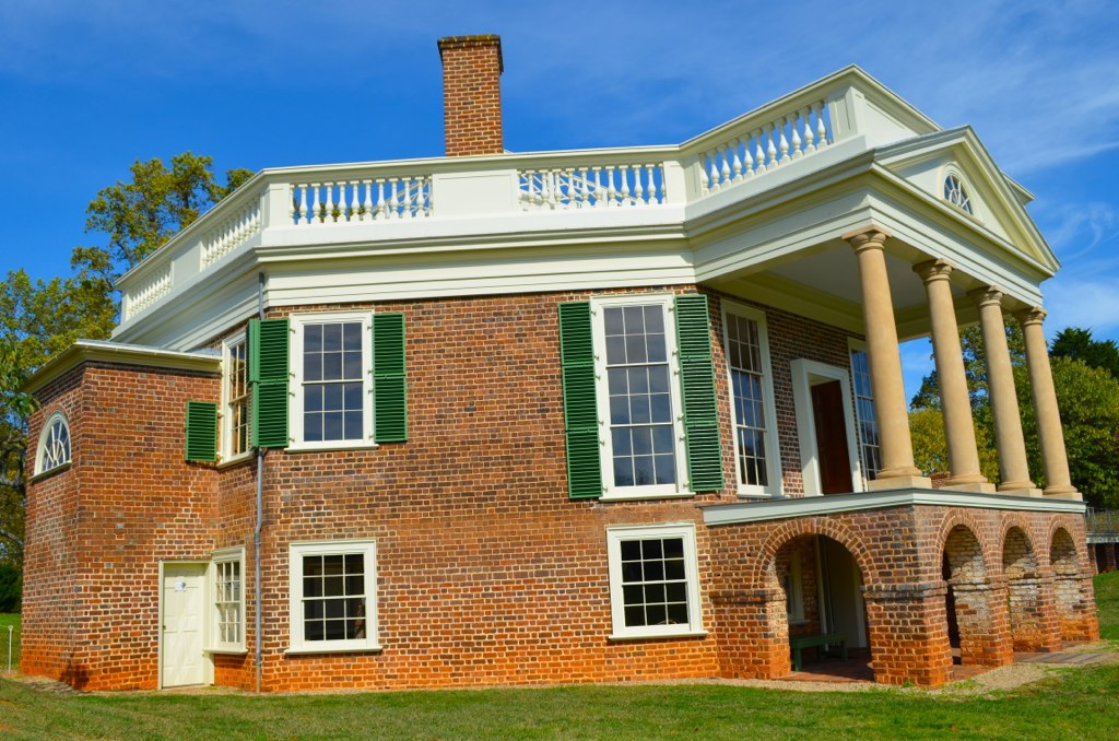
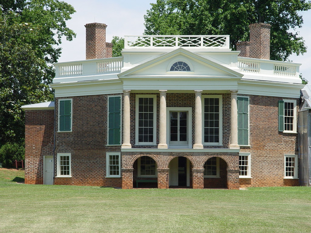
Thomas Jefferson's Poplar Forest
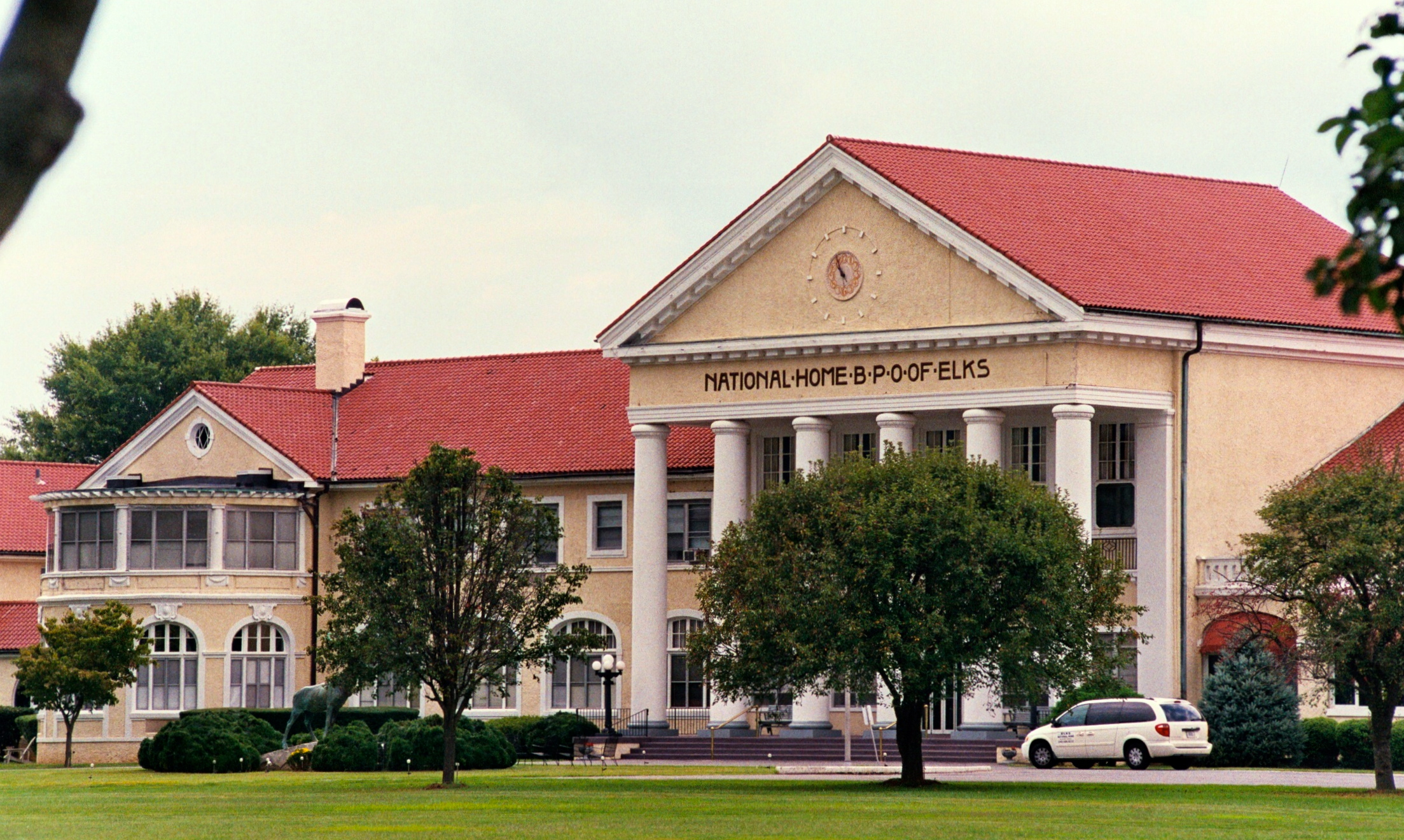
RAD2013.05.20.19 BPO Elks Home
A View of the West

RAD2013.05.20.20 BPO Elks Home

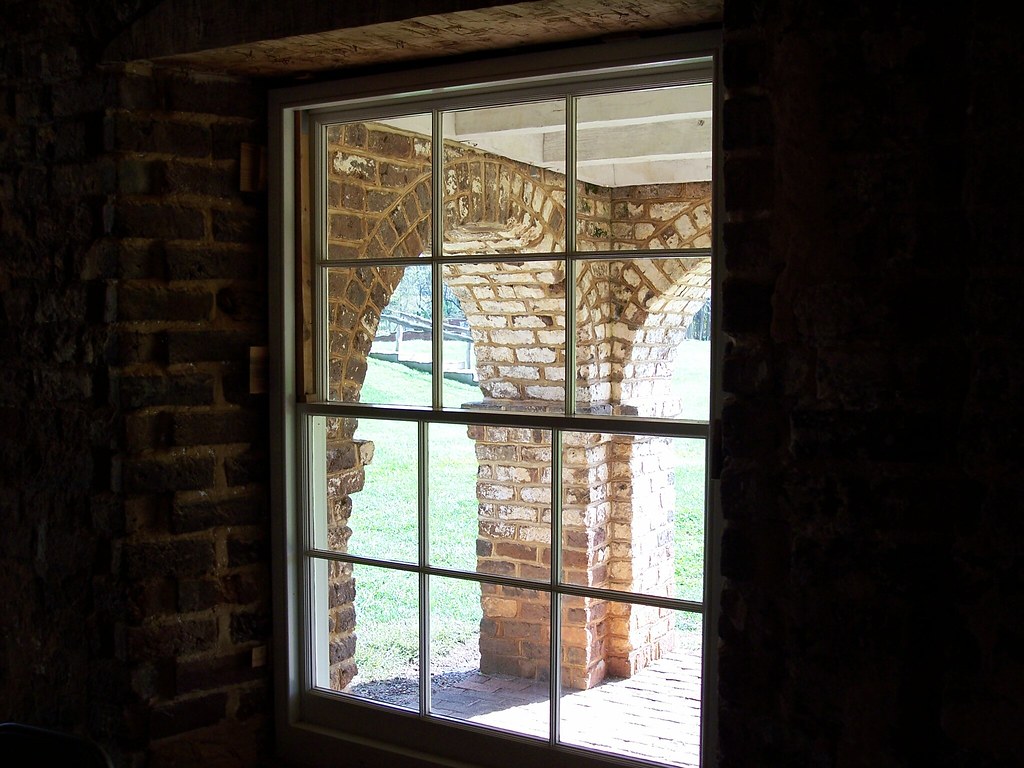
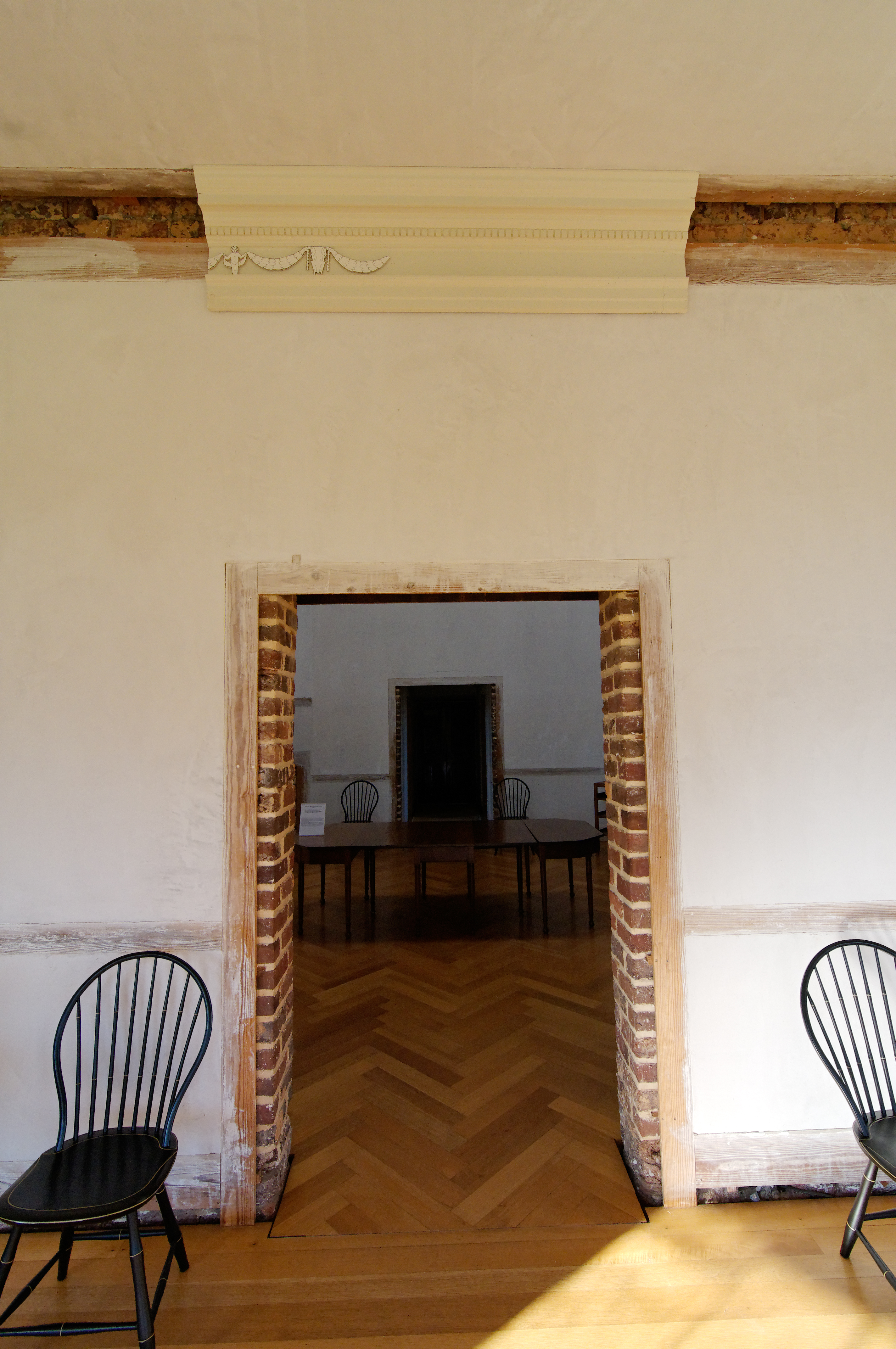
View from inside
Poplar Forest 2010
Poplar Forest 2010
Poplar Forest 2010
RAD2013.05.20.18 BPO Elks Home

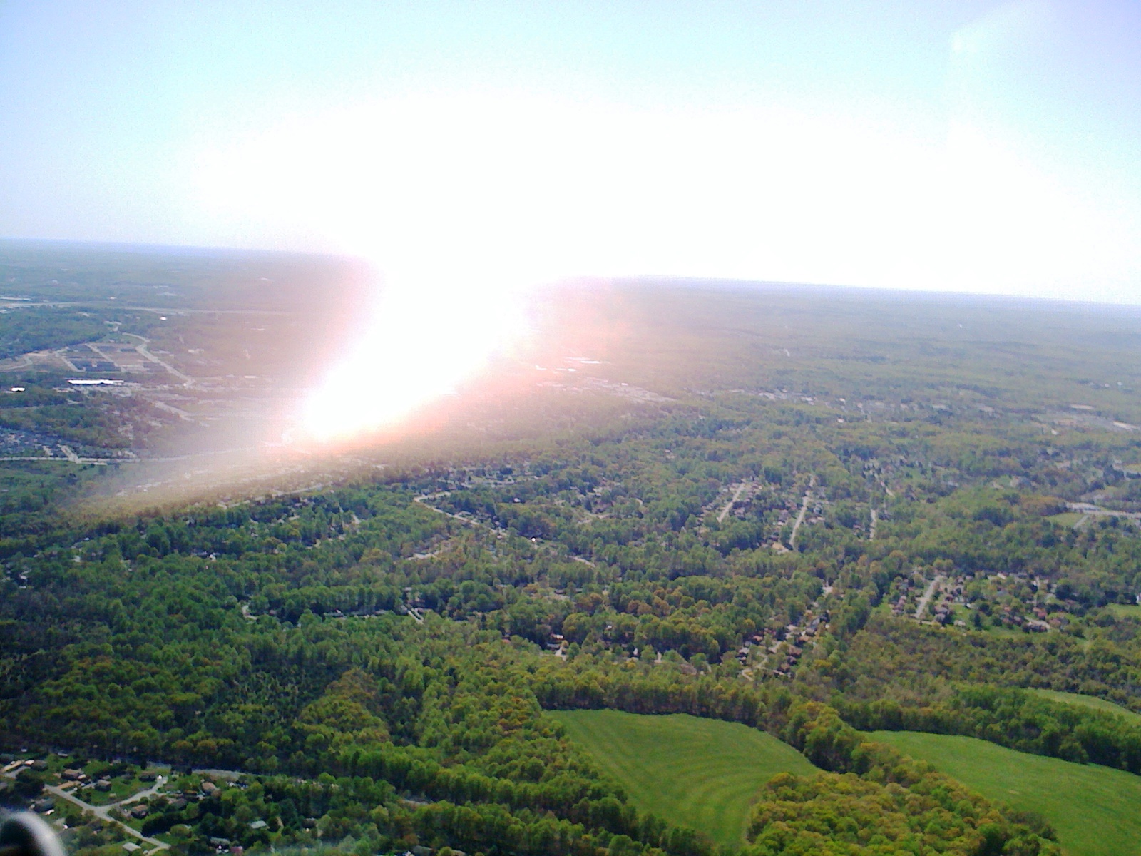
Morning Fog in Forest

National D-Day Memorial
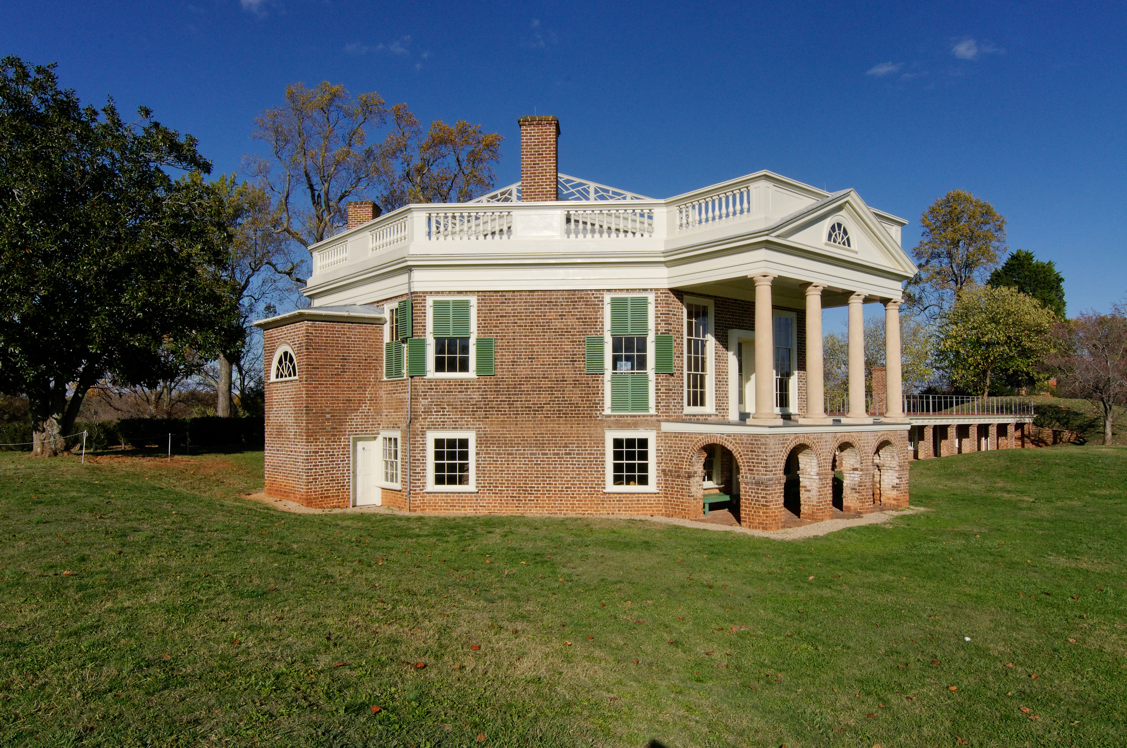
Poplar Forest

RAD2013.05.20.21 BPO Elks Home
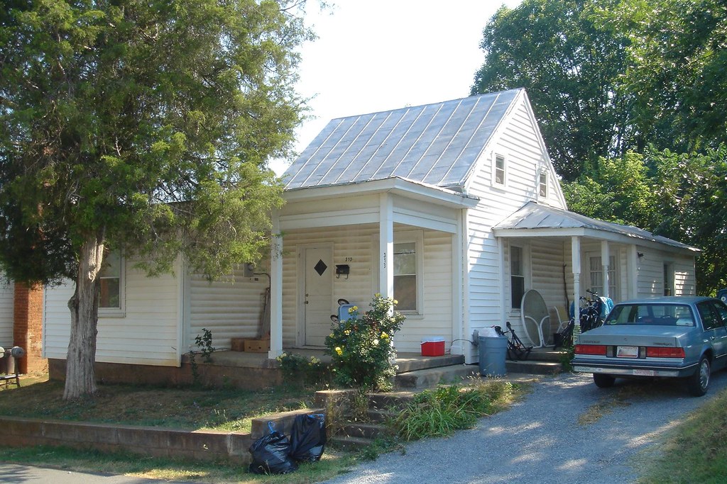
Last view of 313 South St
Poplar Forest
Poplar Forest 2010
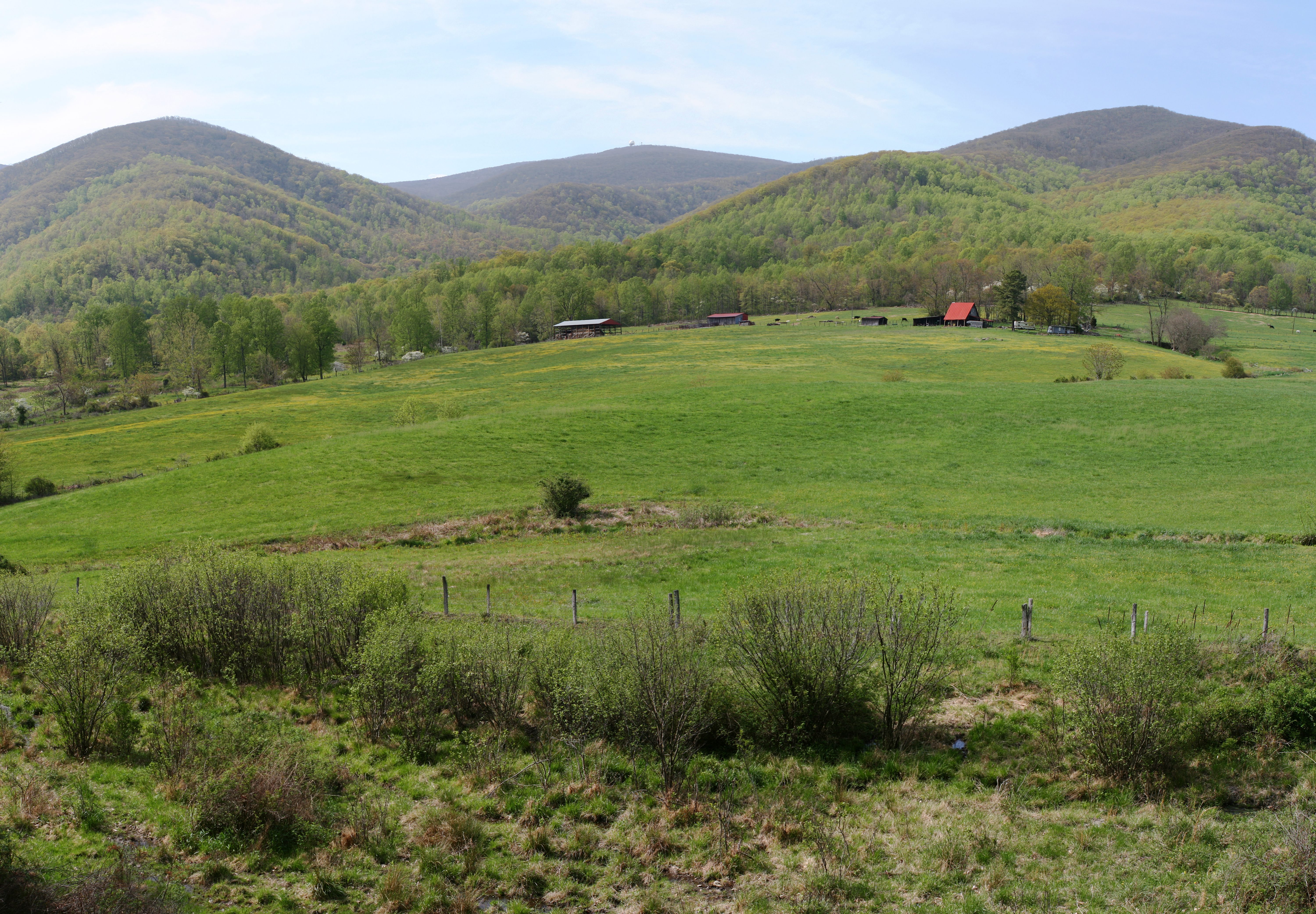
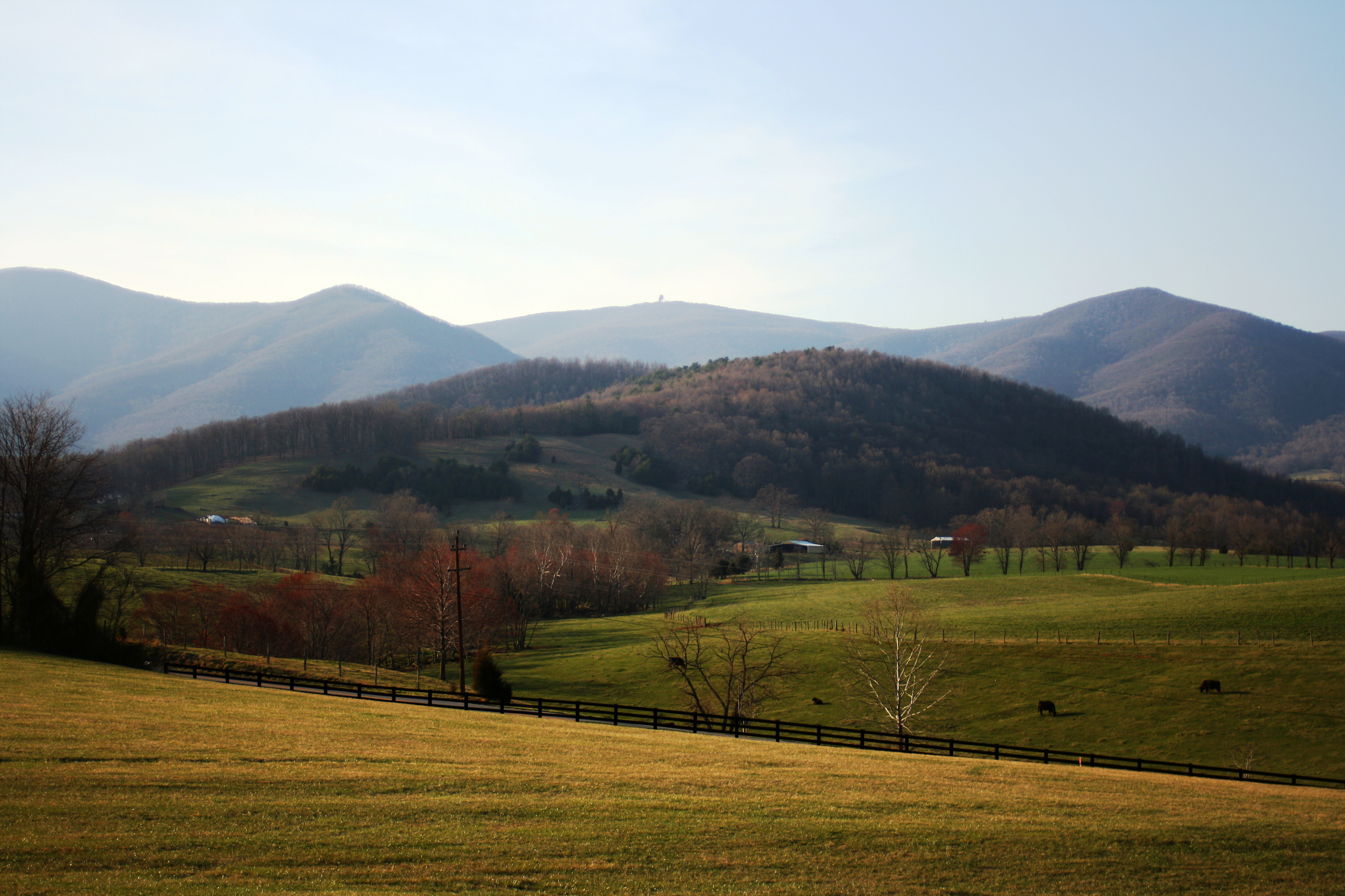
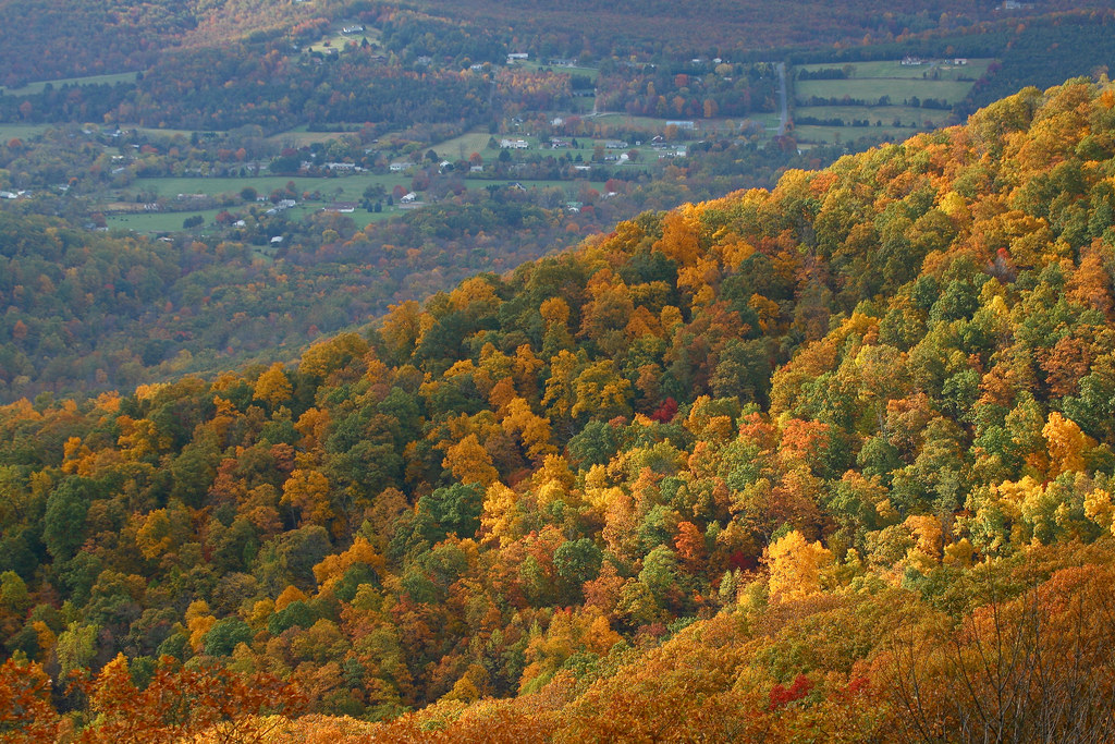
Wheat's Valley
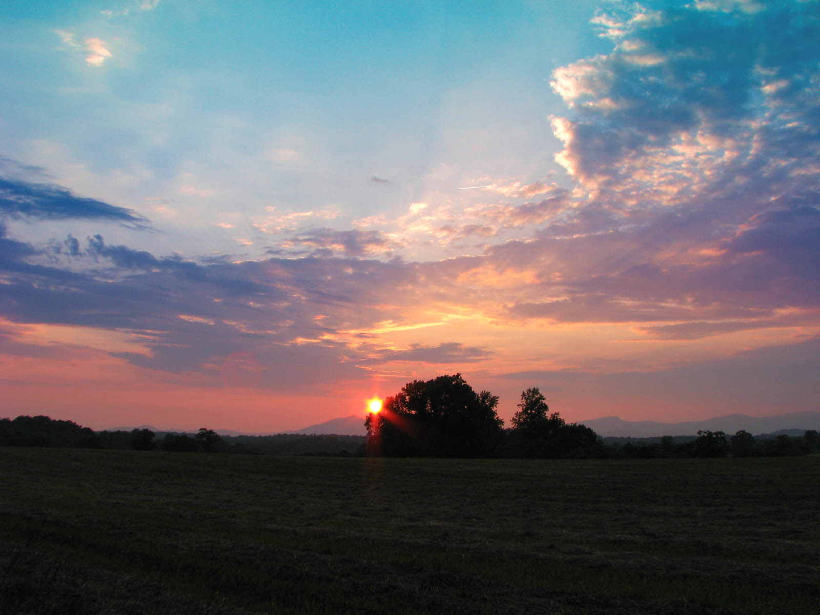
Sunset over the Blue Ridge
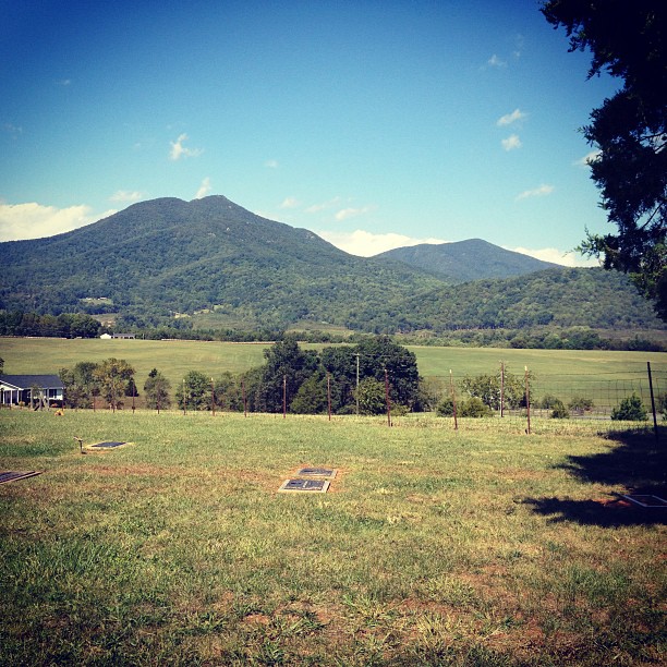
Peaks of Otter. VA is so beautiful.
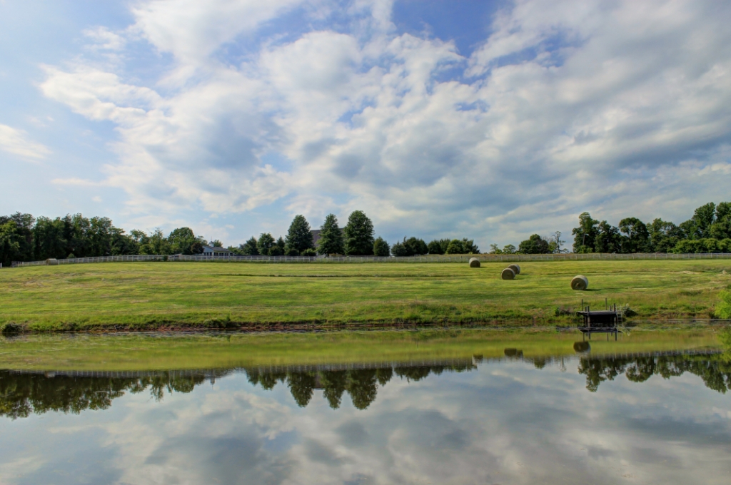
Spring Reflections
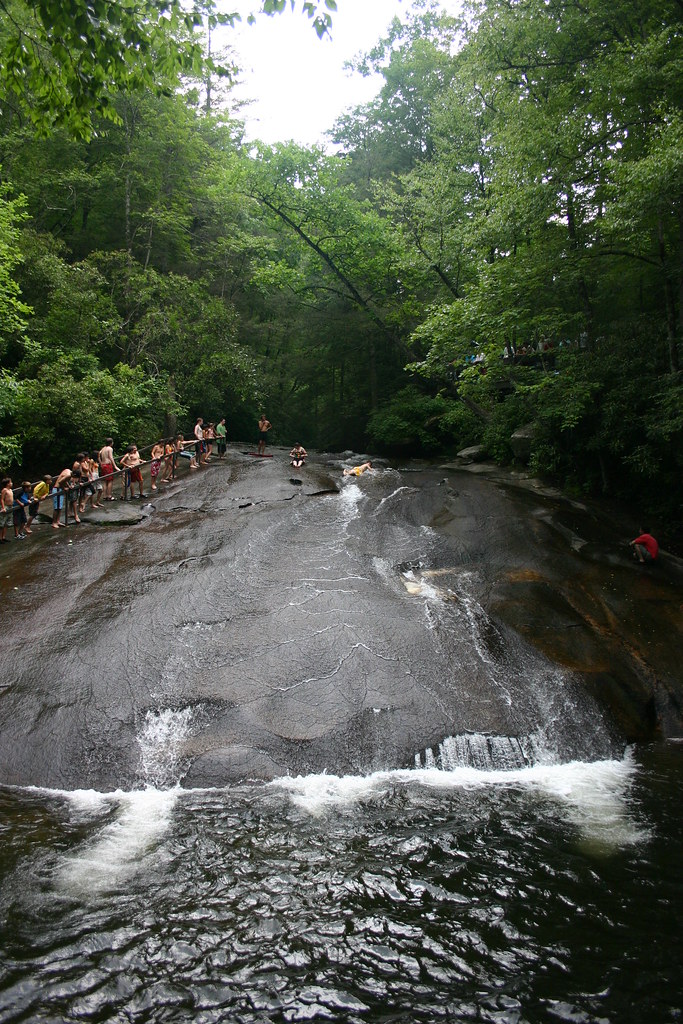
"Slippery Rock" Pisgah Nat.Forest
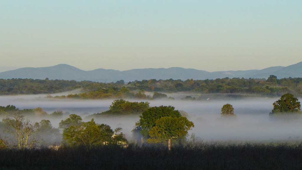
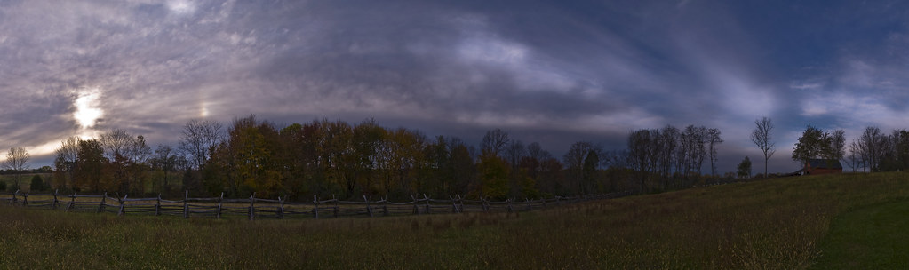
Fabulous Fog
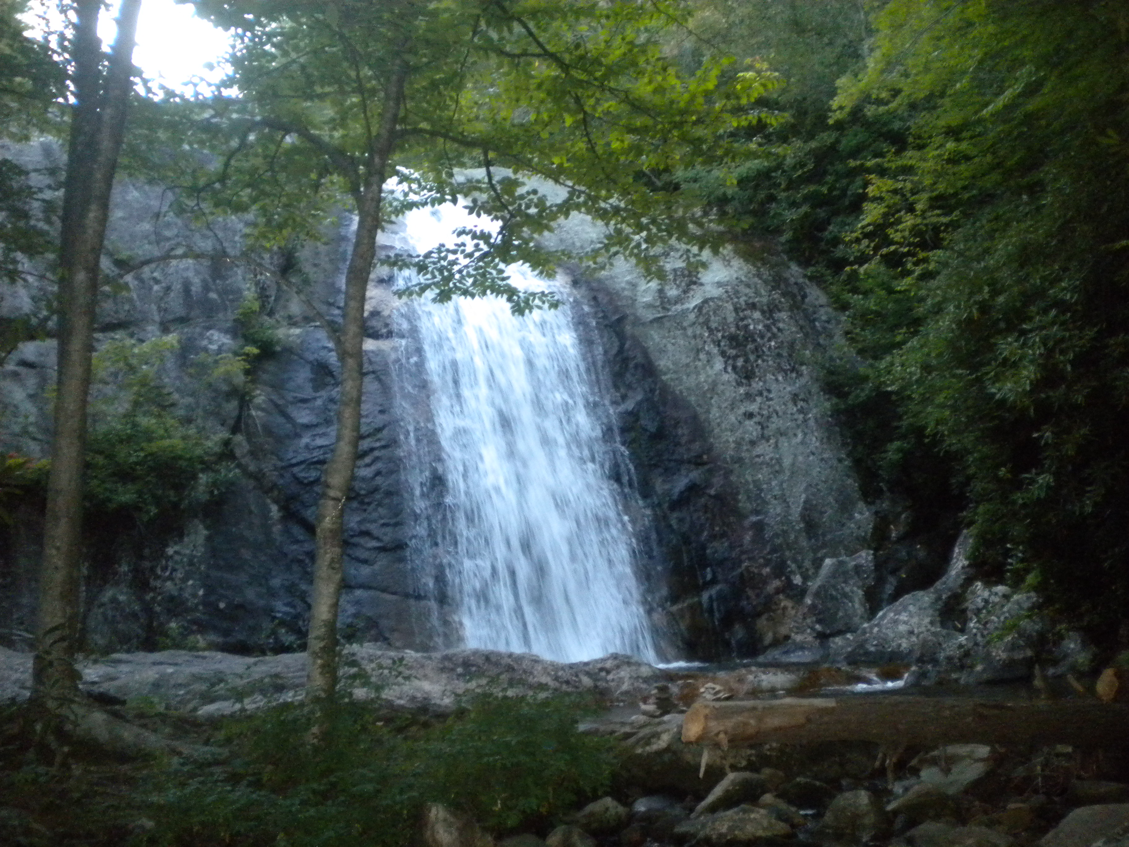
Water Fall
Day 3 of the trip 278

Let's BEE friends!
20150208_145616.jpg
20150208_150100.jpg
Day 3 of the trip 134

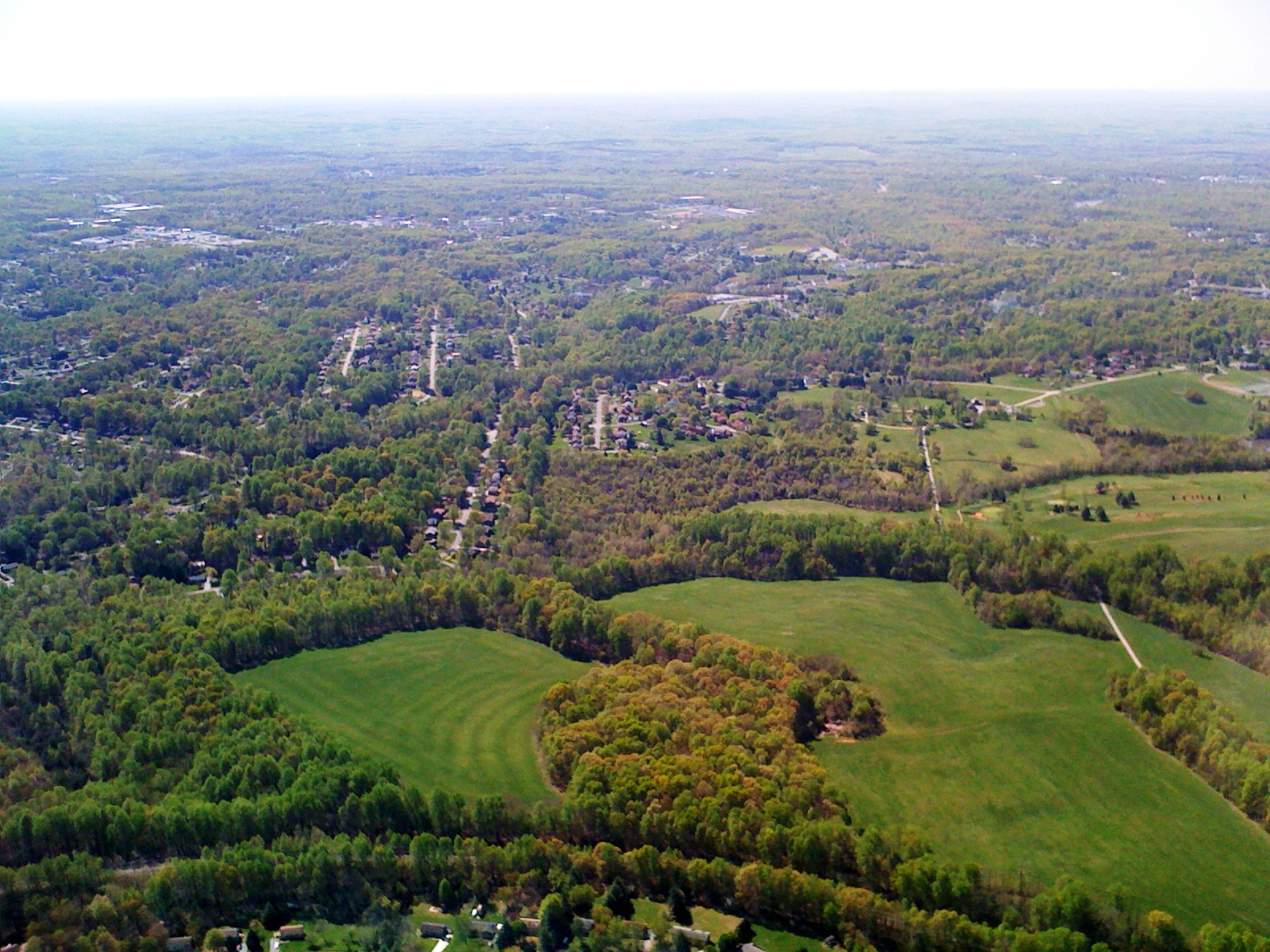
Overcast Golf

Southern Anthem
Day 3 of the trip 282
Shenandoah Valley
20150208_145654.jpg
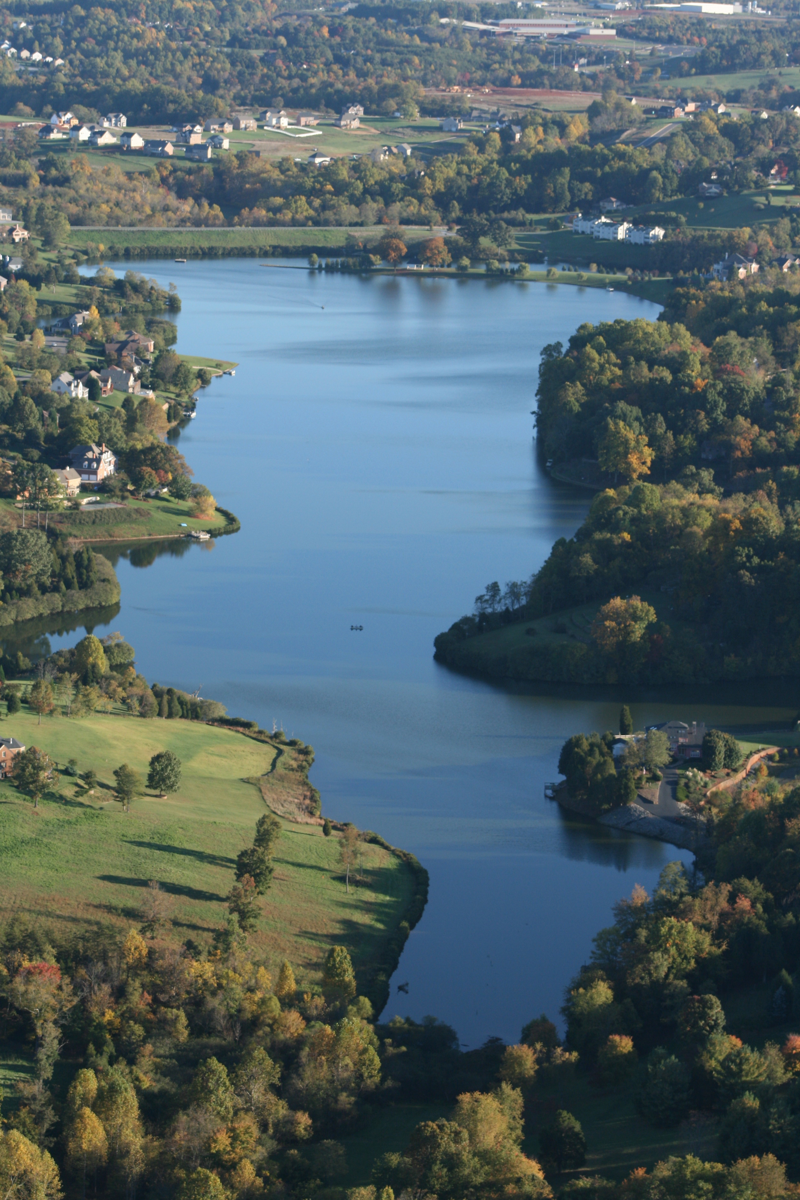
Fall Ivy Lake North
Topographic Map of Lowry Rd, Lowry, VA, USA
Find elevation by address:

Places near Lowry Rd, Lowry, VA, USA:
6750 Forest Rd
Center
Wingfield Drive
1255 Happy Ours Ln
222 Snooty Fox Rd
Goode
200 Hunting Ln
103 E Otter Ridge Dr
103 E Otter Ridge Dr
133 E Otter Ridge Dr
Old Cifax Rd, Goode, VA, USA
1039 Menefee Dr
Dogwood Hills Drive
Sycamore Drive
Bethany Church Cir, Forest, VA, USA
2457 Sycamore Dr
3042 Hurricane Dr
3042 Hurricane Dr
1660 Lees Mill Ln
Gallahers Store Rd, Forest, VA, USA
Recent Searches:
- Elevation of Corso Fratelli Cairoli, 35, Macerata MC, Italy
- Elevation of Tallevast Rd, Sarasota, FL, USA
- Elevation of 4th St E, Sonoma, CA, USA
- Elevation of Black Hollow Rd, Pennsdale, PA, USA
- Elevation of Oakland Ave, Williamsport, PA, USA
- Elevation of Pedrógão Grande, Portugal
- Elevation of Klee Dr, Martinsburg, WV, USA
- Elevation of Via Roma, Pieranica CR, Italy
- Elevation of Tavkvetili Mountain, Georgia
- Elevation of Hartfords Bluff Cir, Mt Pleasant, SC, USA