Elevation of Long Hollow Road, Long Hollow Rd, Nickelsville, VA, USA
Location: United States > Virginia > Scott County > > Nickelsville >
Longitude: -82.401544
Latitude: 36.7989233
Elevation: 656m / 2152feet
Barometric Pressure: 94KPa
Elevation Map:
Satellite Map:
Related Photos:
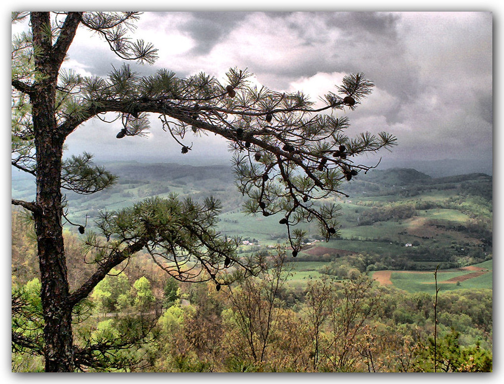
Mountain View
: : My Virginia : : Mew View
Mountain View
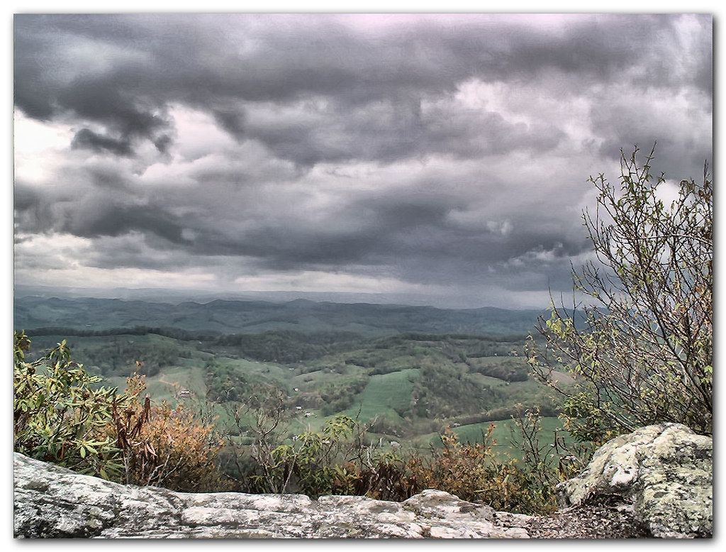
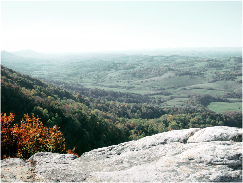
View from the Clouds
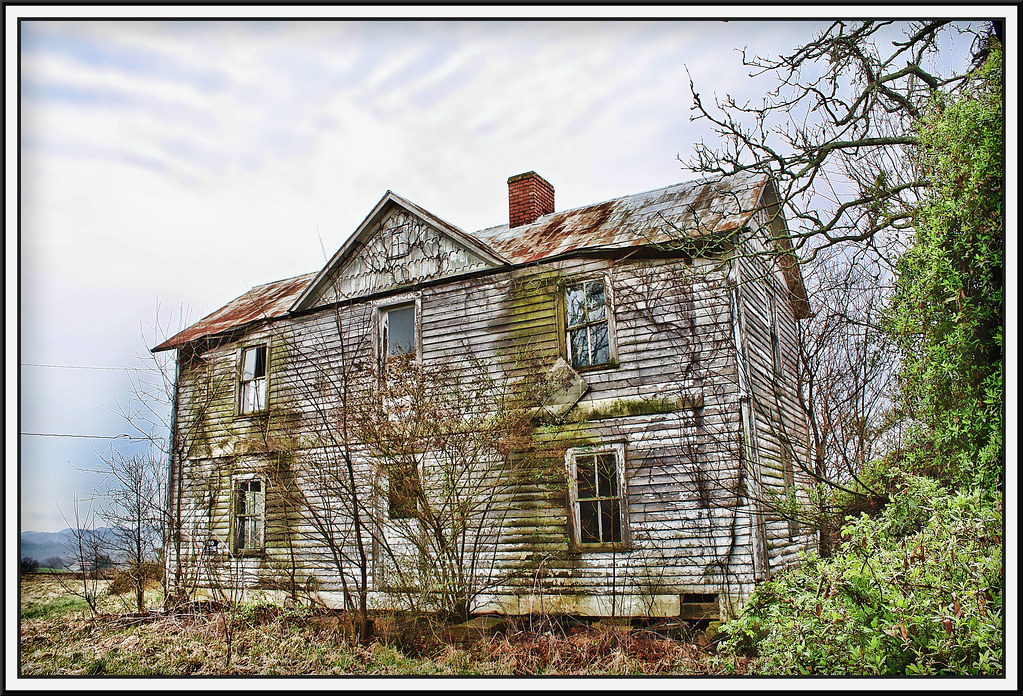
Salyers House
medota, virginia
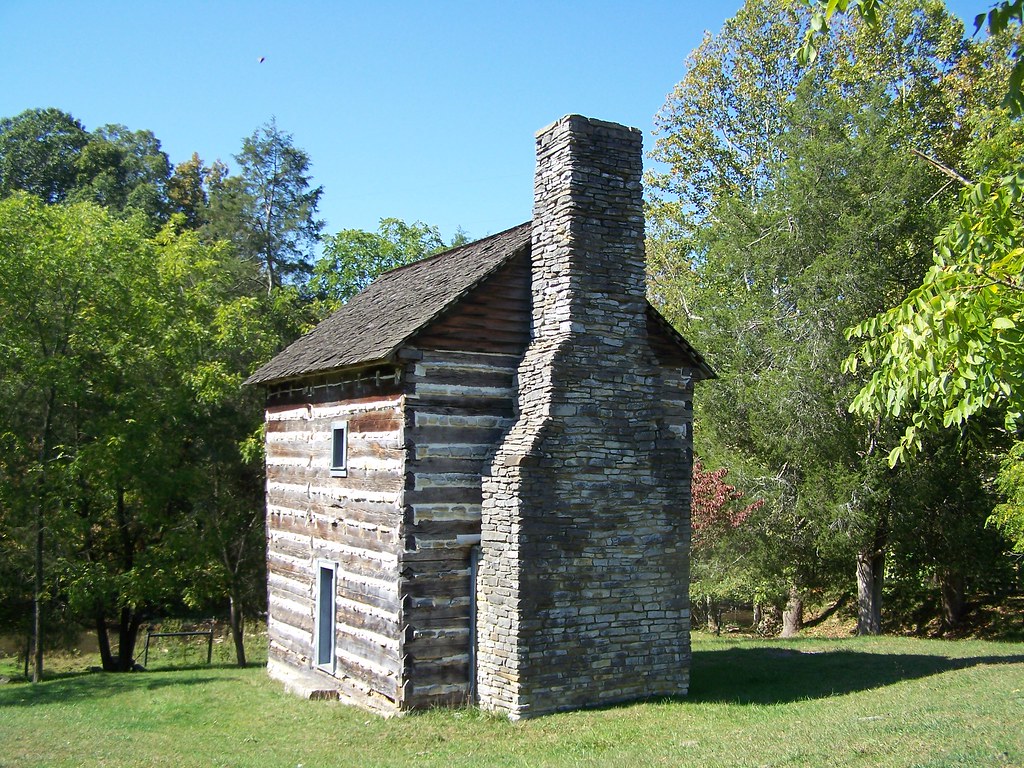
Kilgore Fort House

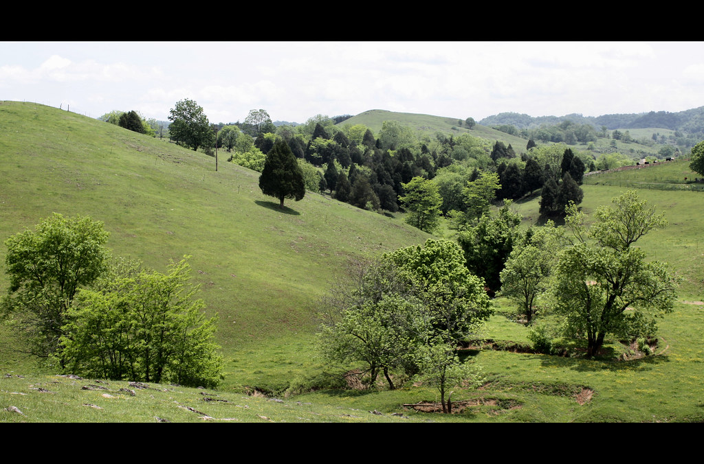
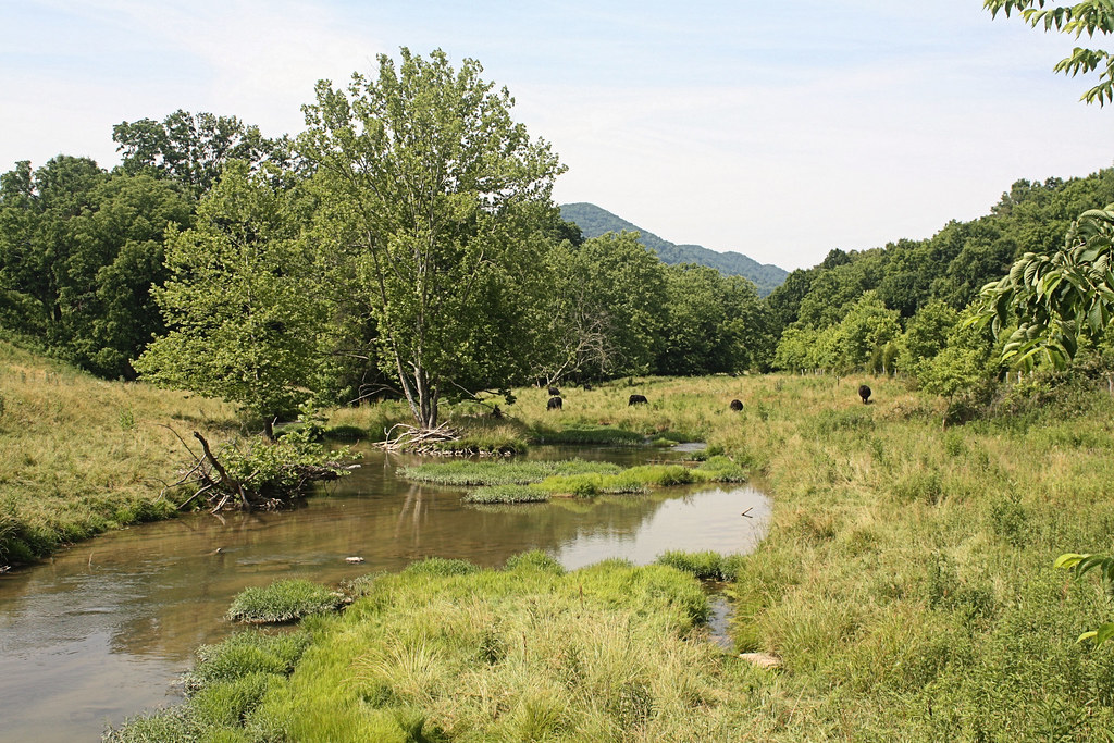
: : My Virginia : : Grazing in the Grass

Up Close and Personal

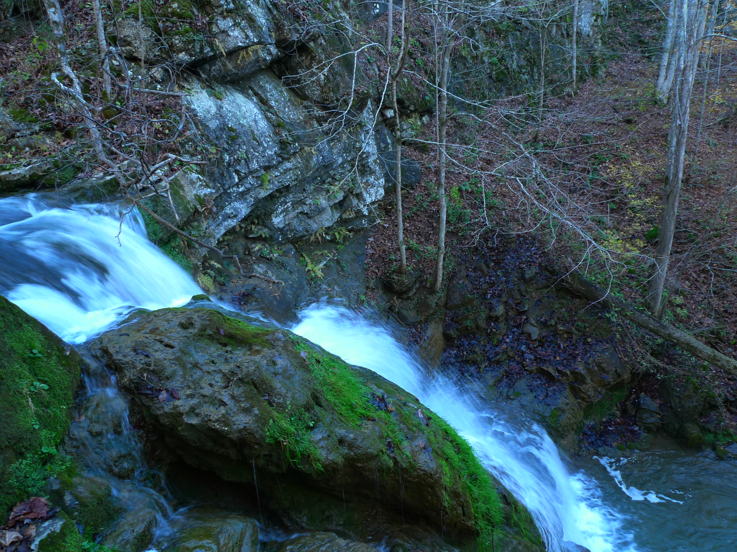
Little Stoney Creek Falls 1001
Grazing on Big Moccasin Creek

Turn Off the Paved Road
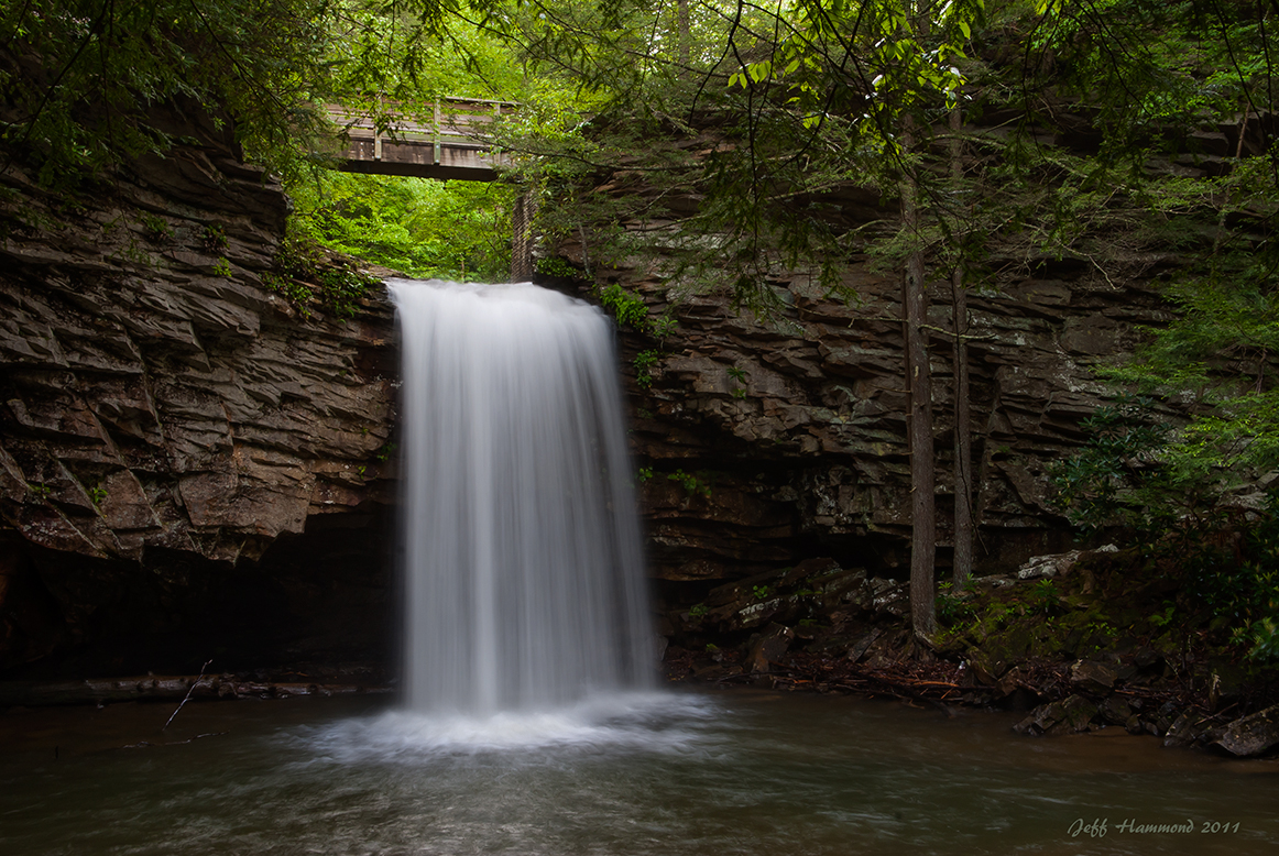
Upper Little Stony Falls
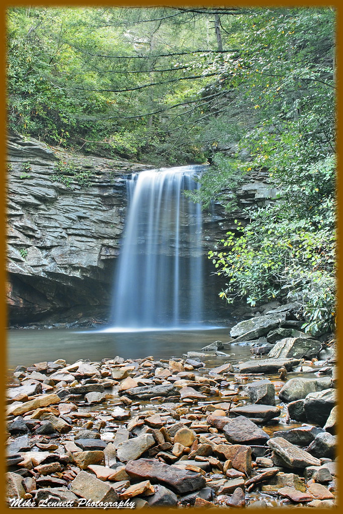
02839c Little Stoney Falls

Copper Ridge Road
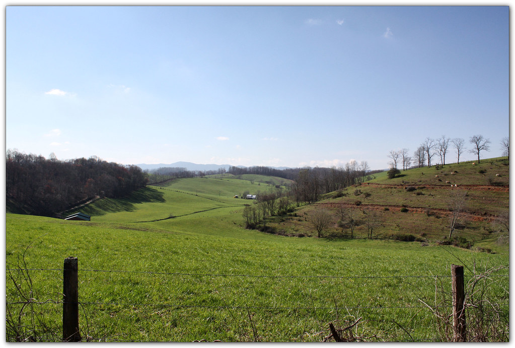
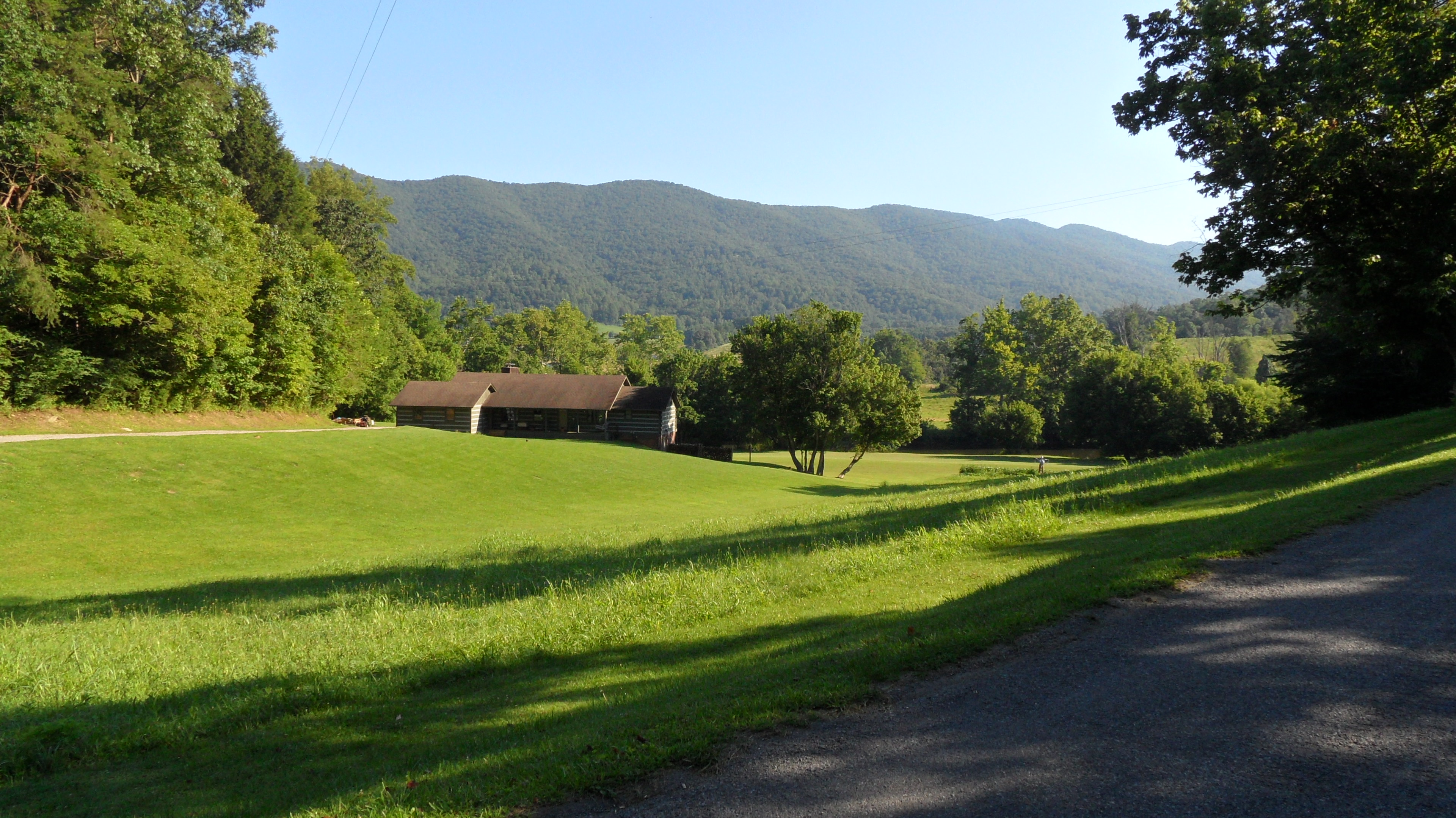
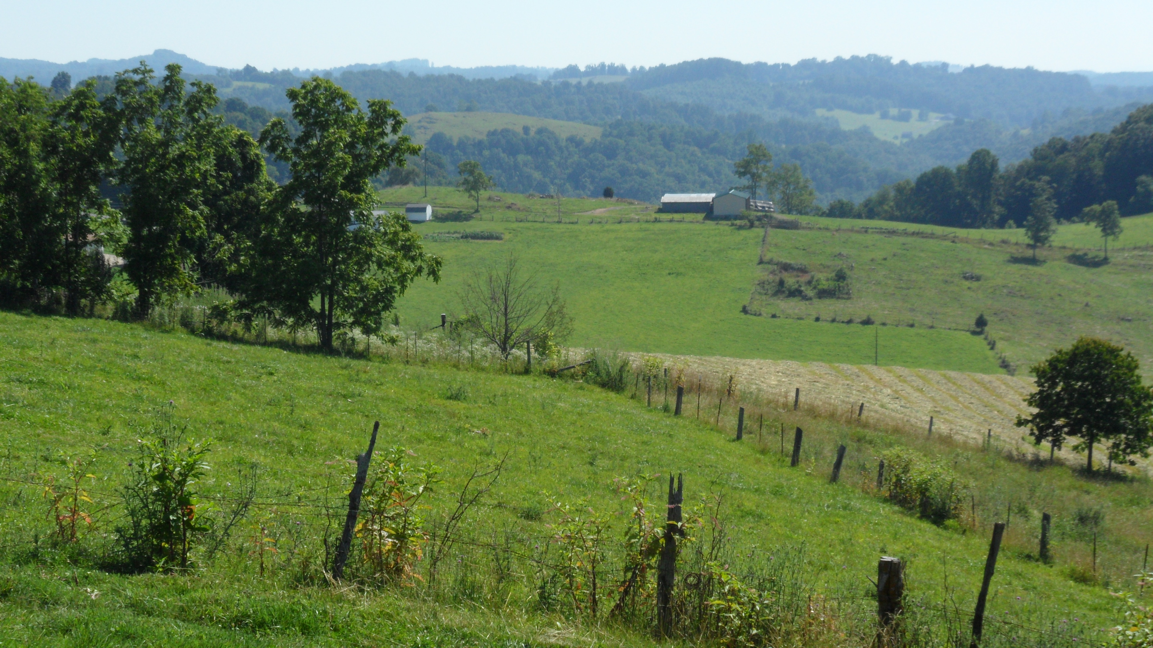
Green Pastures

Fall Creek
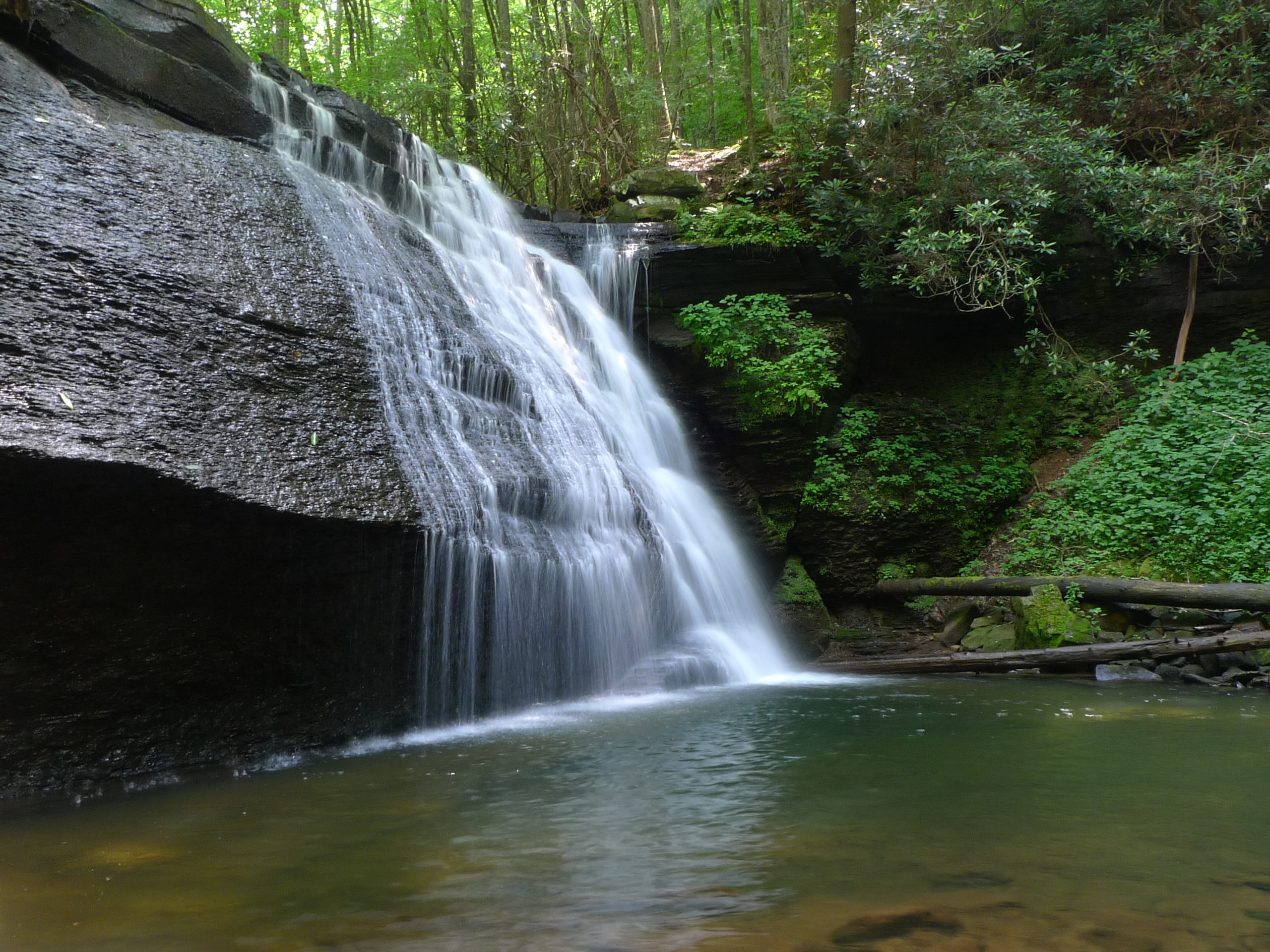
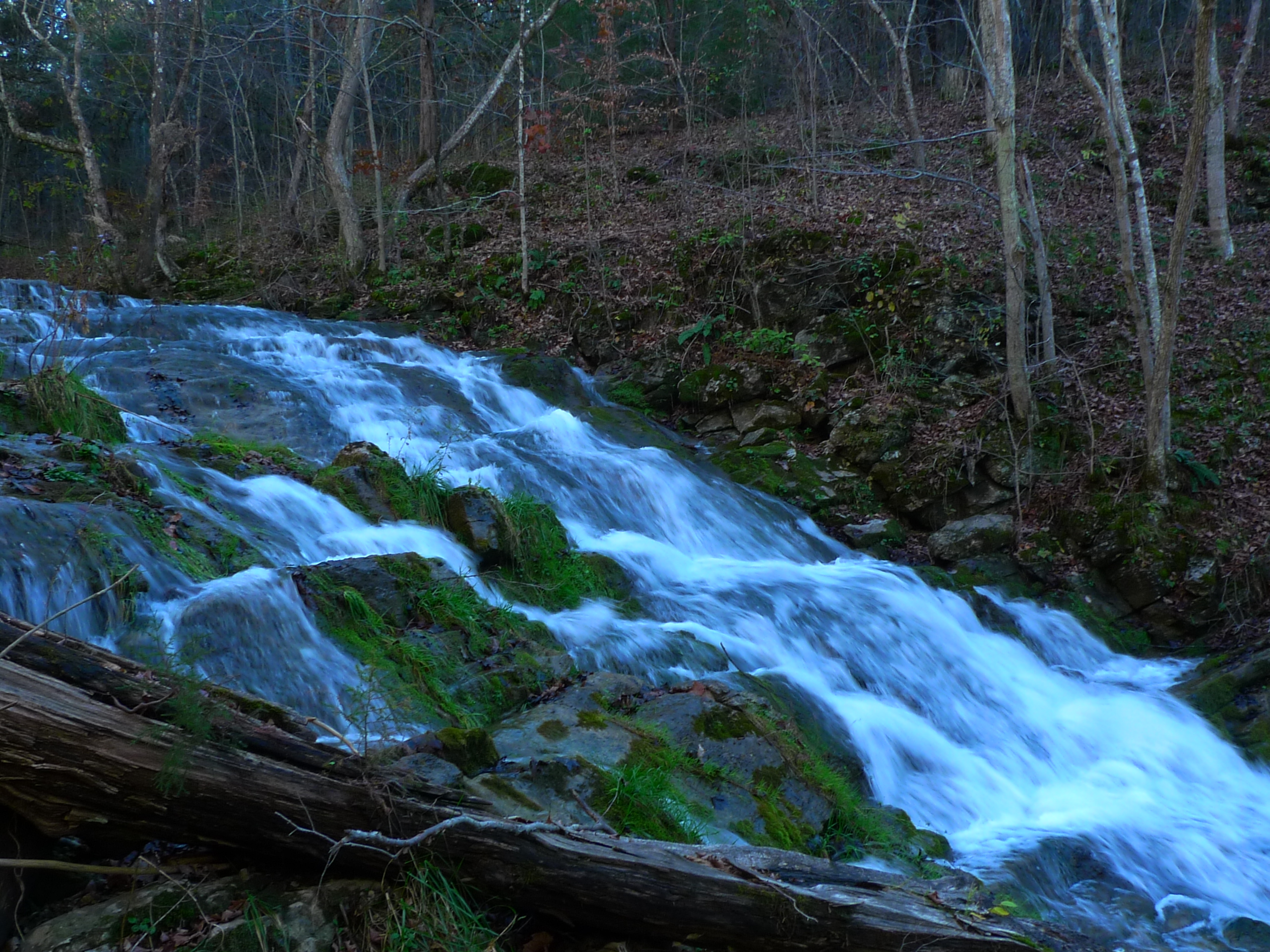
Little Stony Middle Falls
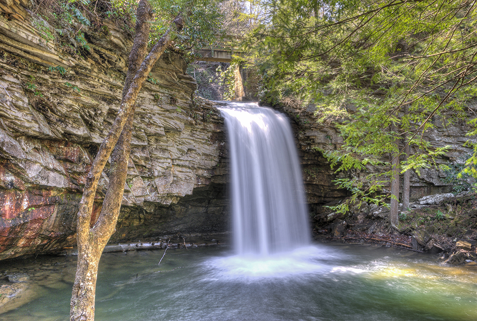
Upper Little Stony Falls

Fall Creek
Fall Creek
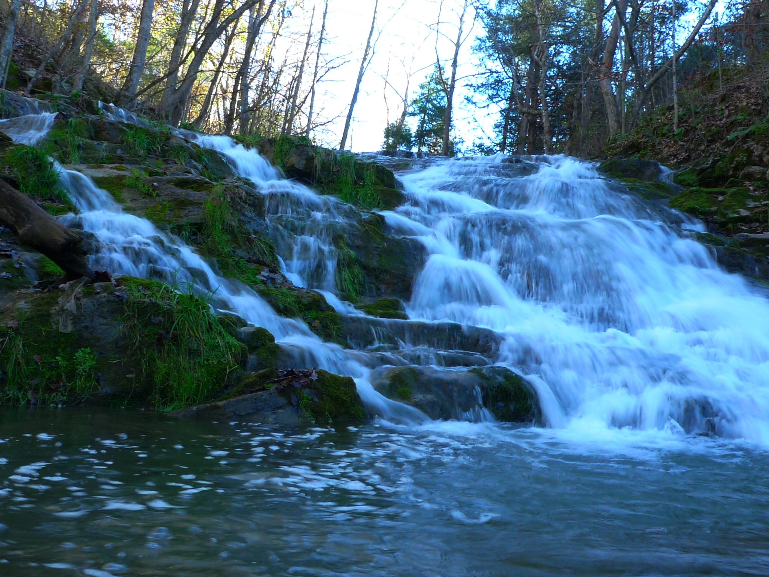
Fall Creek

Fall Creek
615 to Carter Fold
Mcconnell, VA
Fall Creek
Topographic Map of Long Hollow Road, Long Hollow Rd, Nickelsville, VA, USA
Find elevation by address:

Places near Long Hollow Road, Long Hollow Rd, Nickelsville, VA, USA:
Falls Creek Road
Sunny Point Road
Inthepines Circle
185 Cathedral Dr
Nickelsville
1000 Johnson Settlement Rd
Dean Hollow Road
Twin Springs High School
Titan Ln, Nickelsville, VA, USA
Dungannon
125 Warren Baker Dr
Scarberry Hollow
7612 River Bluff Rd
937 Luray Rd
Veterans Memorial Highway
Grays Ford
2818 Dungannon Rd
4, VA, USA
Evans Road
Taffy Lane
Recent Searches:
- Elevation of Lampiasi St, Sarasota, FL, USA
- Elevation of Elwyn Dr, Roanoke Rapids, NC, USA
- Elevation of Congressional Dr, Stevensville, MD, USA
- Elevation of Bellview Rd, McLean, VA, USA
- Elevation of Stage Island Rd, Chatham, MA, USA
- Elevation of Shibuya Scramble Crossing, 21 Udagawacho, Shibuya City, Tokyo -, Japan
- Elevation of Jadagoniai, Kaunas District Municipality, Lithuania
- Elevation of Pagonija rock, Kranto 7-oji g. 8"N, Kaunas, Lithuania
- Elevation of Co Rd 87, Jamestown, CO, USA
- Elevation of Tenjo, Cundinamarca, Colombia