Elevation of Dungannon, VA, USA
Location: United States > Virginia > Scott County >
Longitude: -82.468506
Latitude: 36.8270504
Elevation: 400m / 1312feet
Barometric Pressure: 97KPa
Elevation Map:
Satellite Map:
Related Photos:
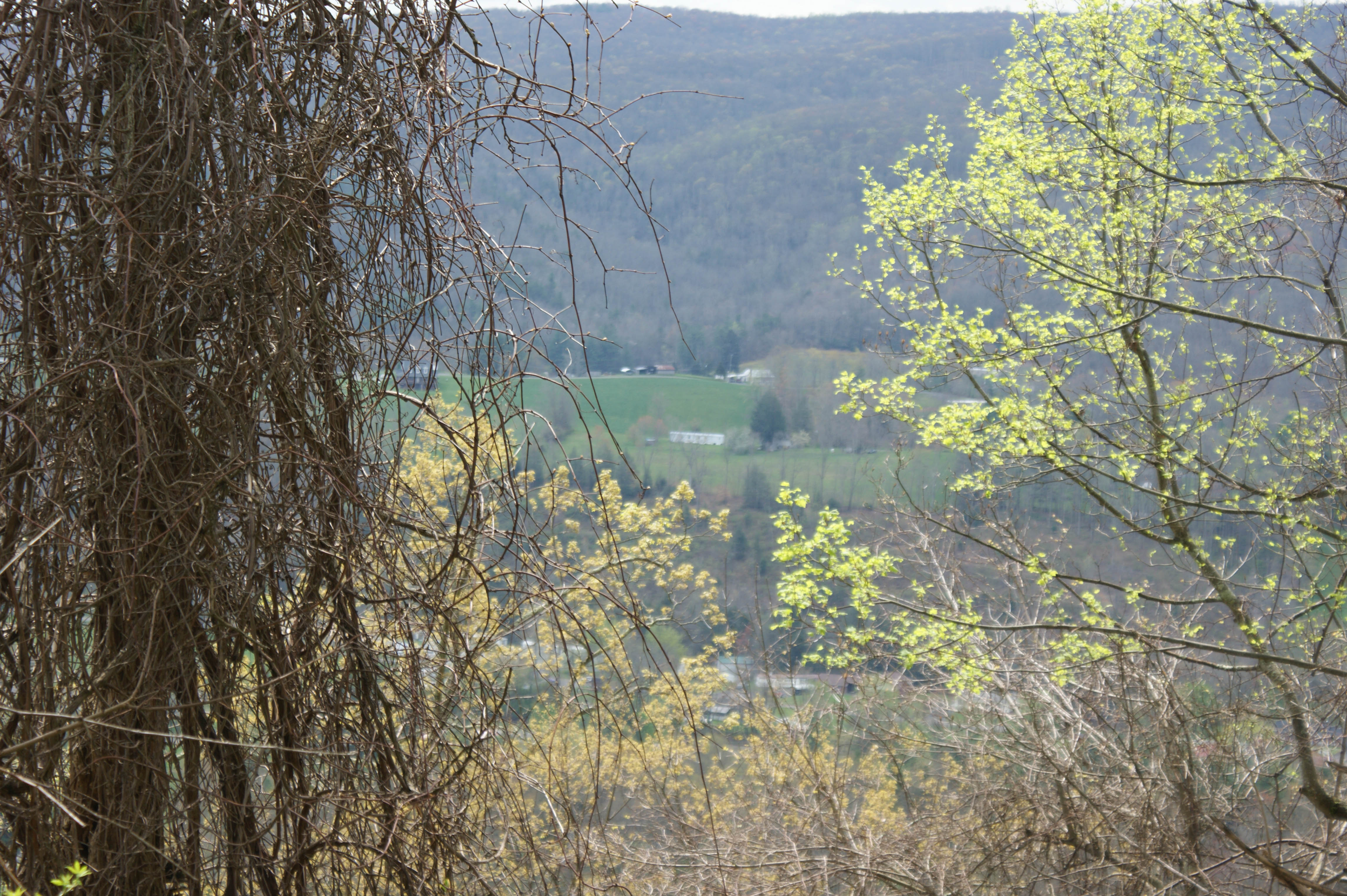
: : My Virginia : : Mew View
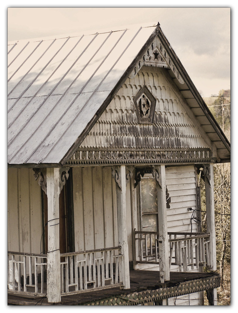
Salyers House
Wise County, Virginia Views

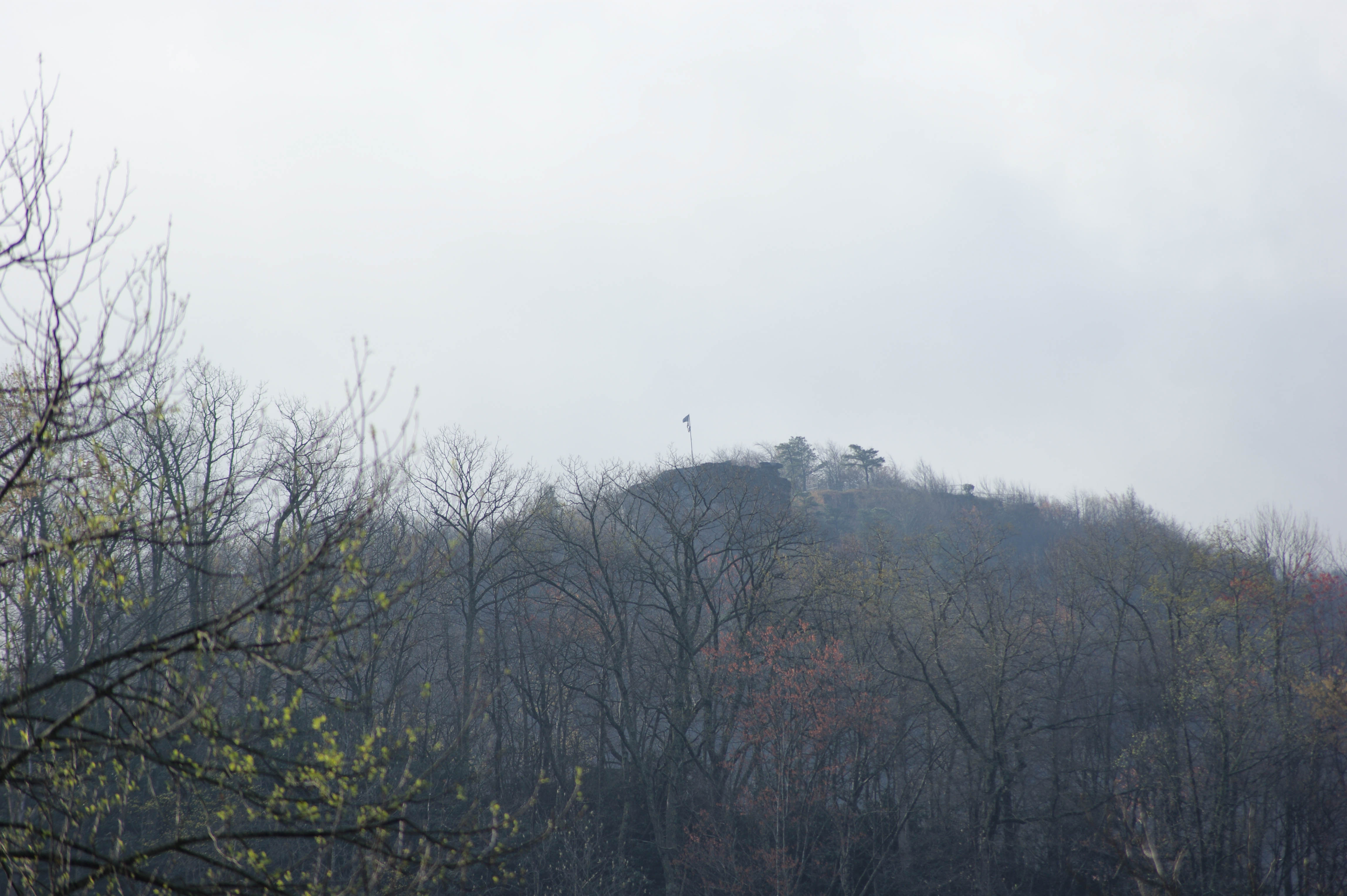
Sunset view
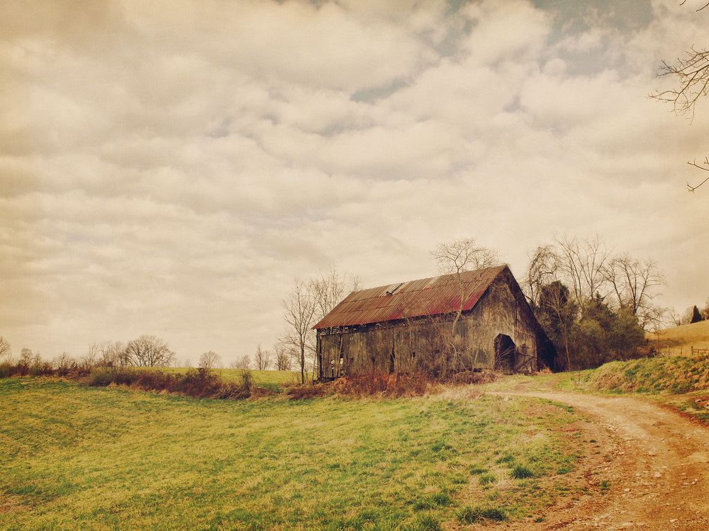
Kilgore Fort House
Wise County, Virginia Views
Wise/Norton 2012

Wise County, Virginia Views
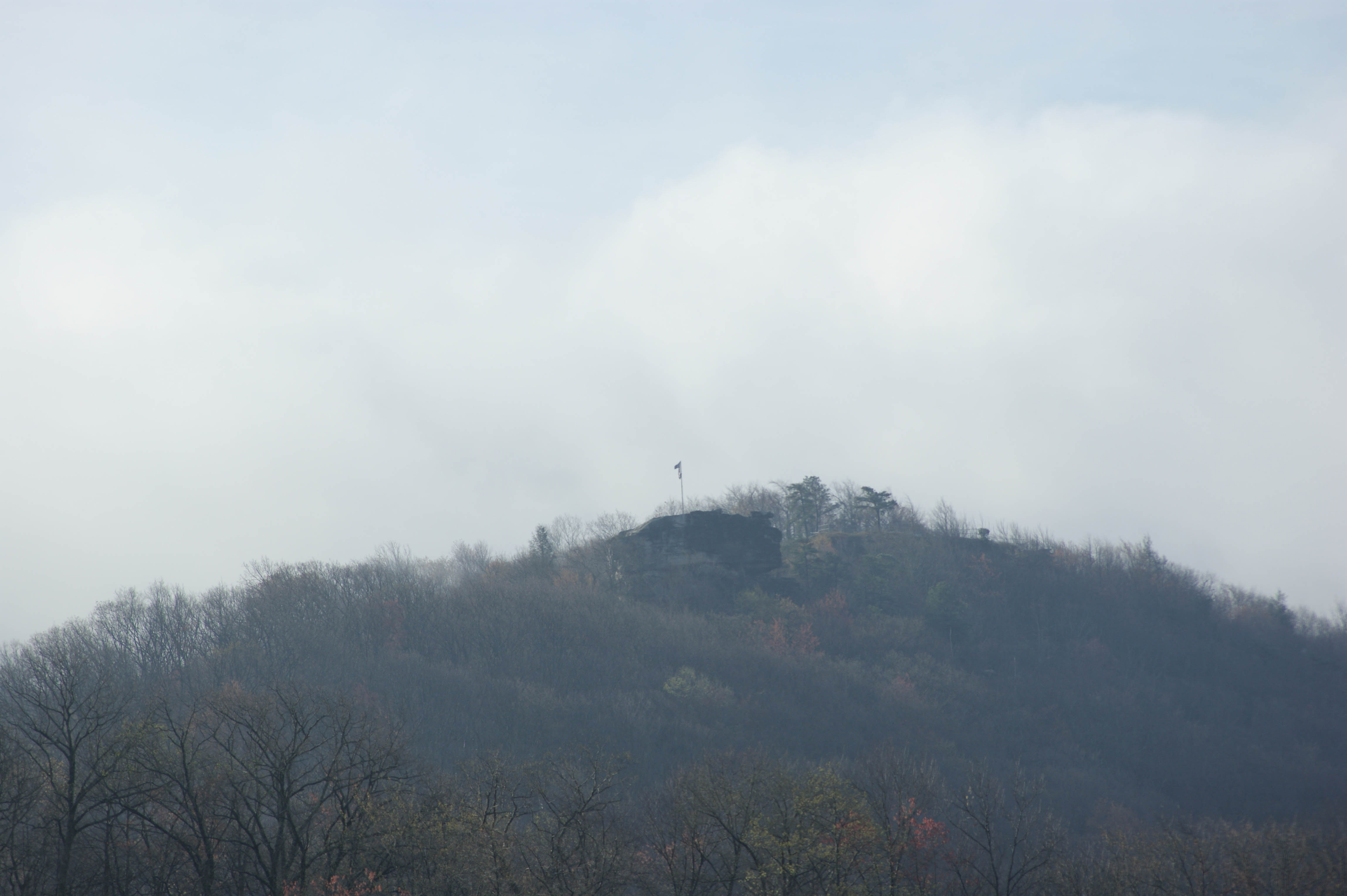
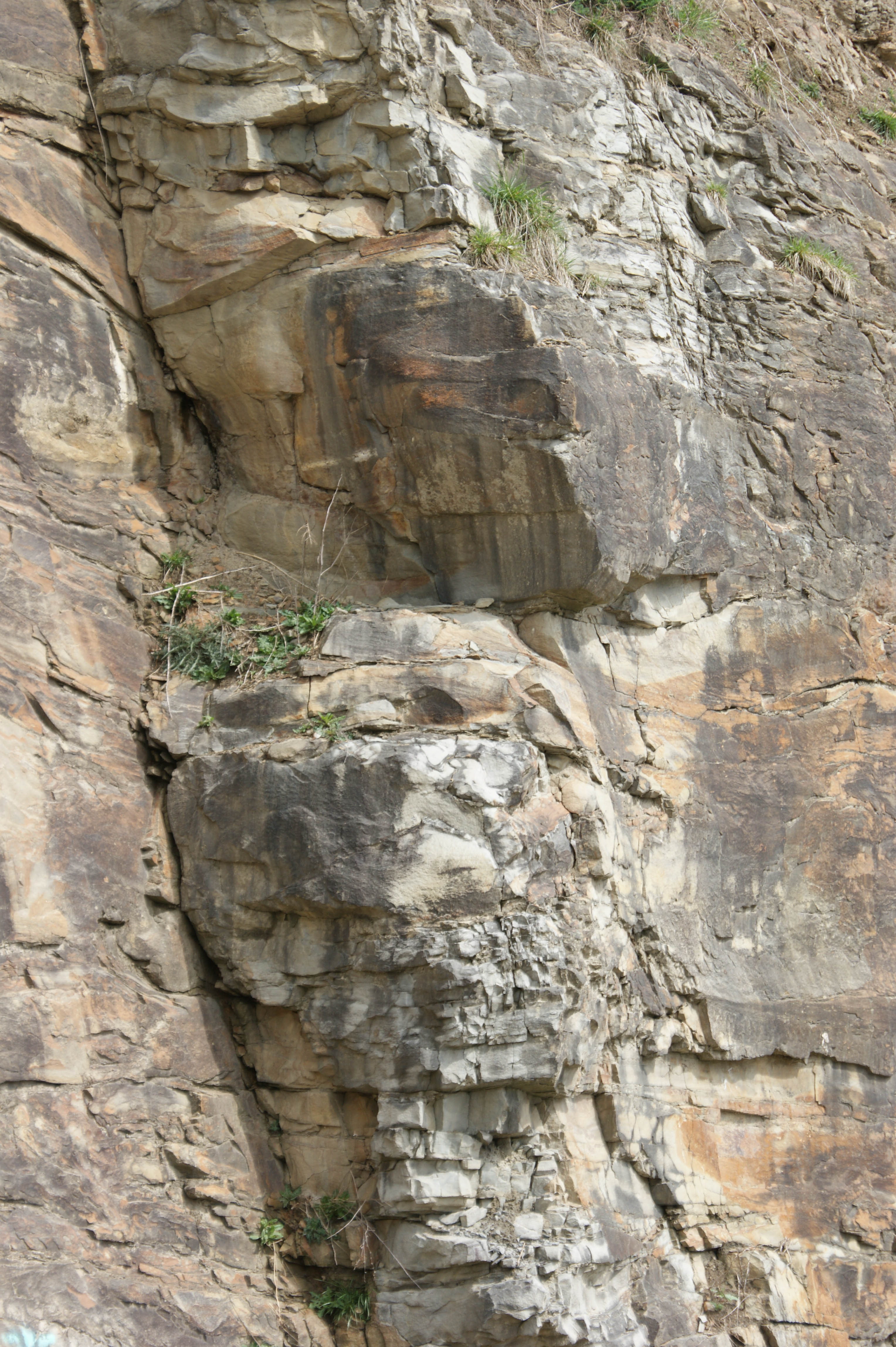
View from Cliff above the Clinch
View from Cliff above the Clinch
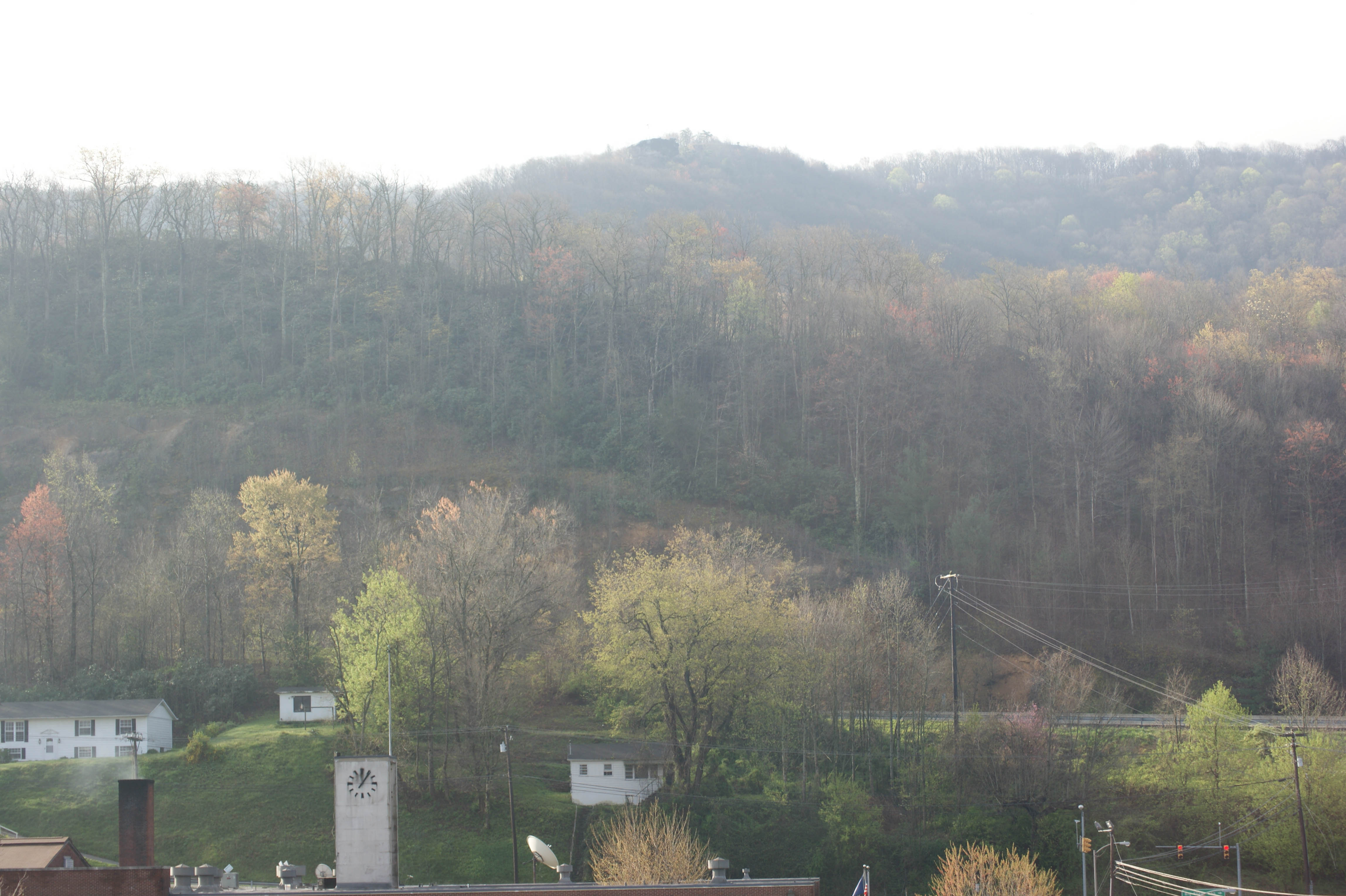
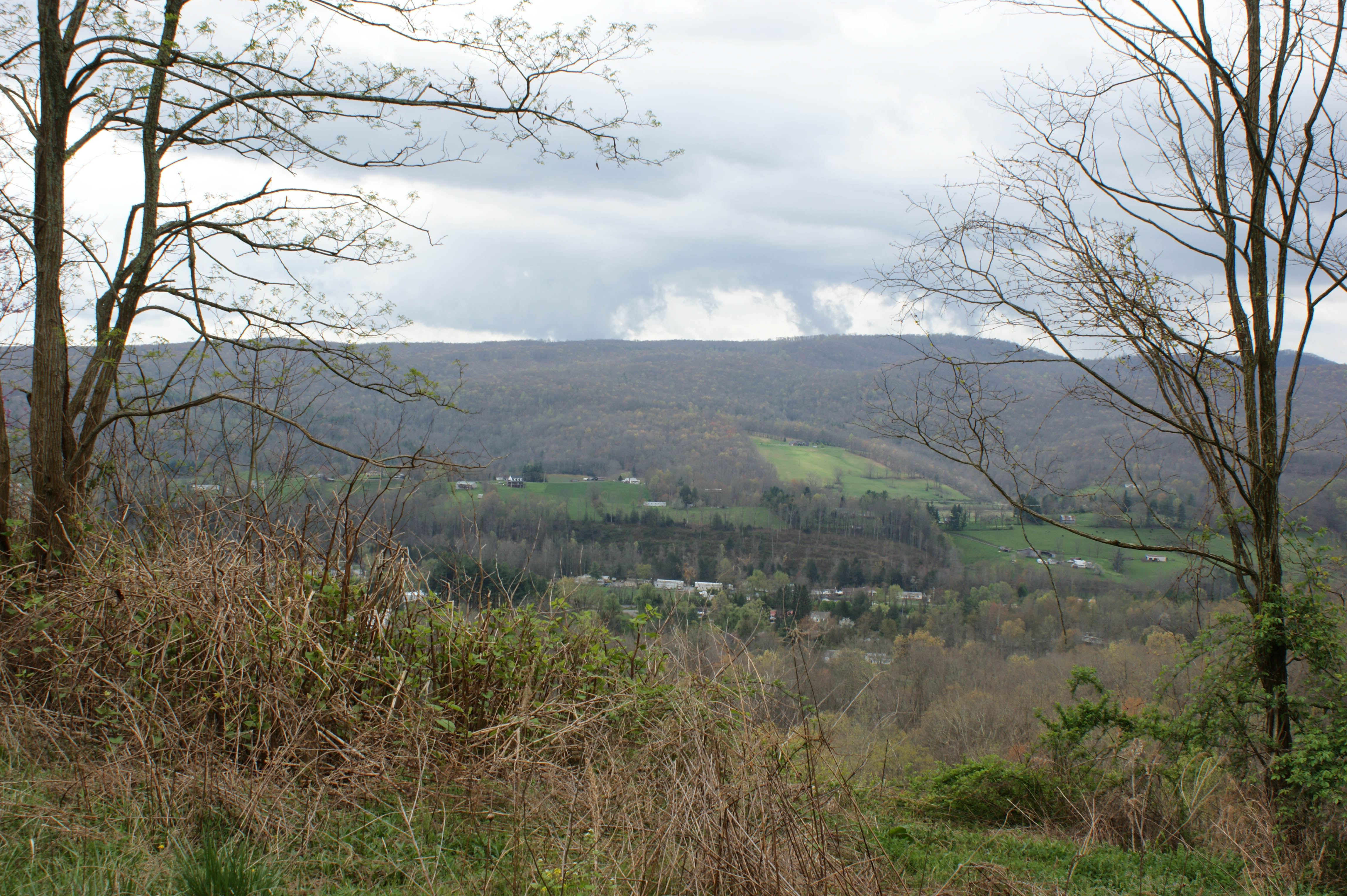
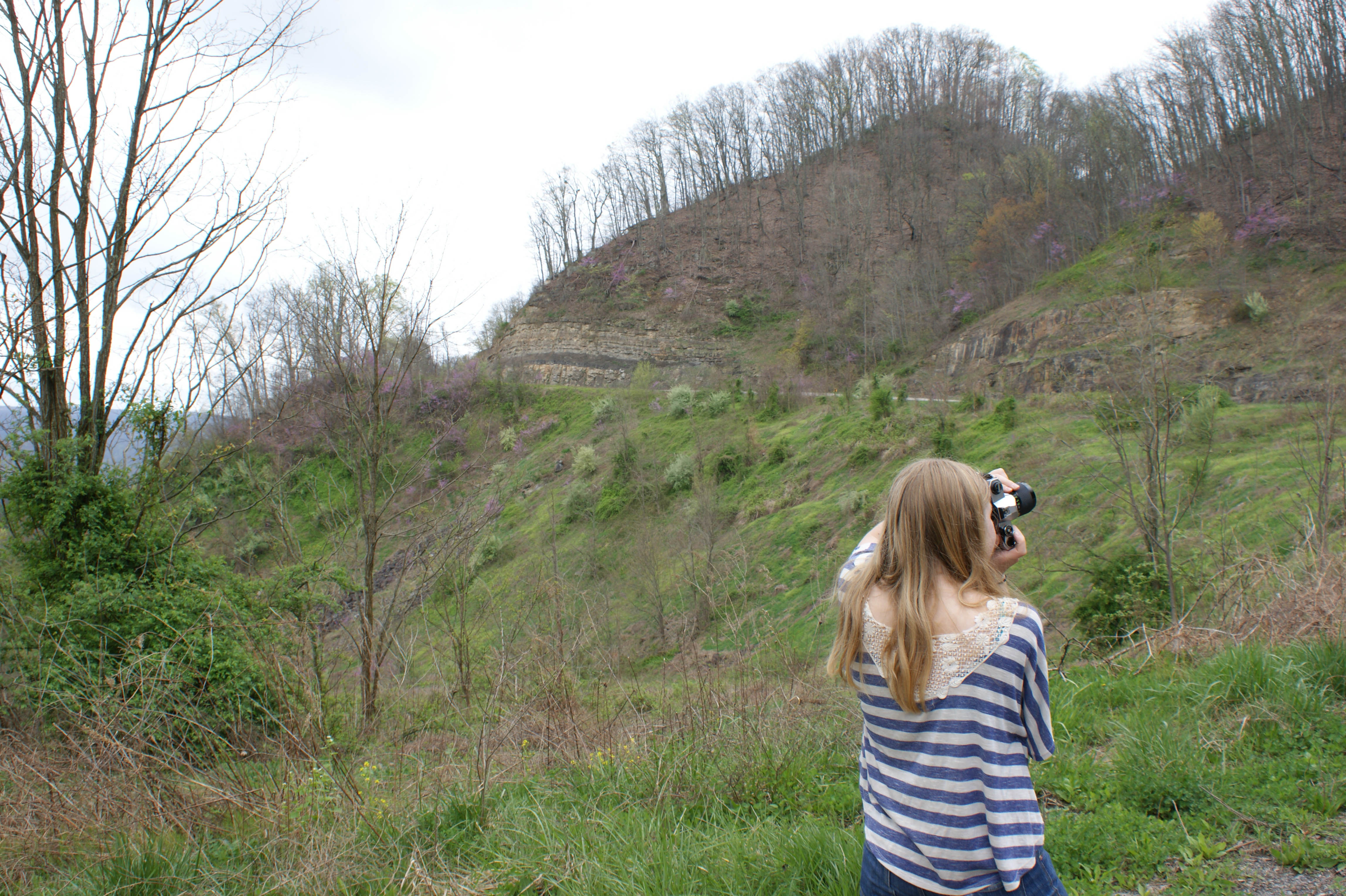
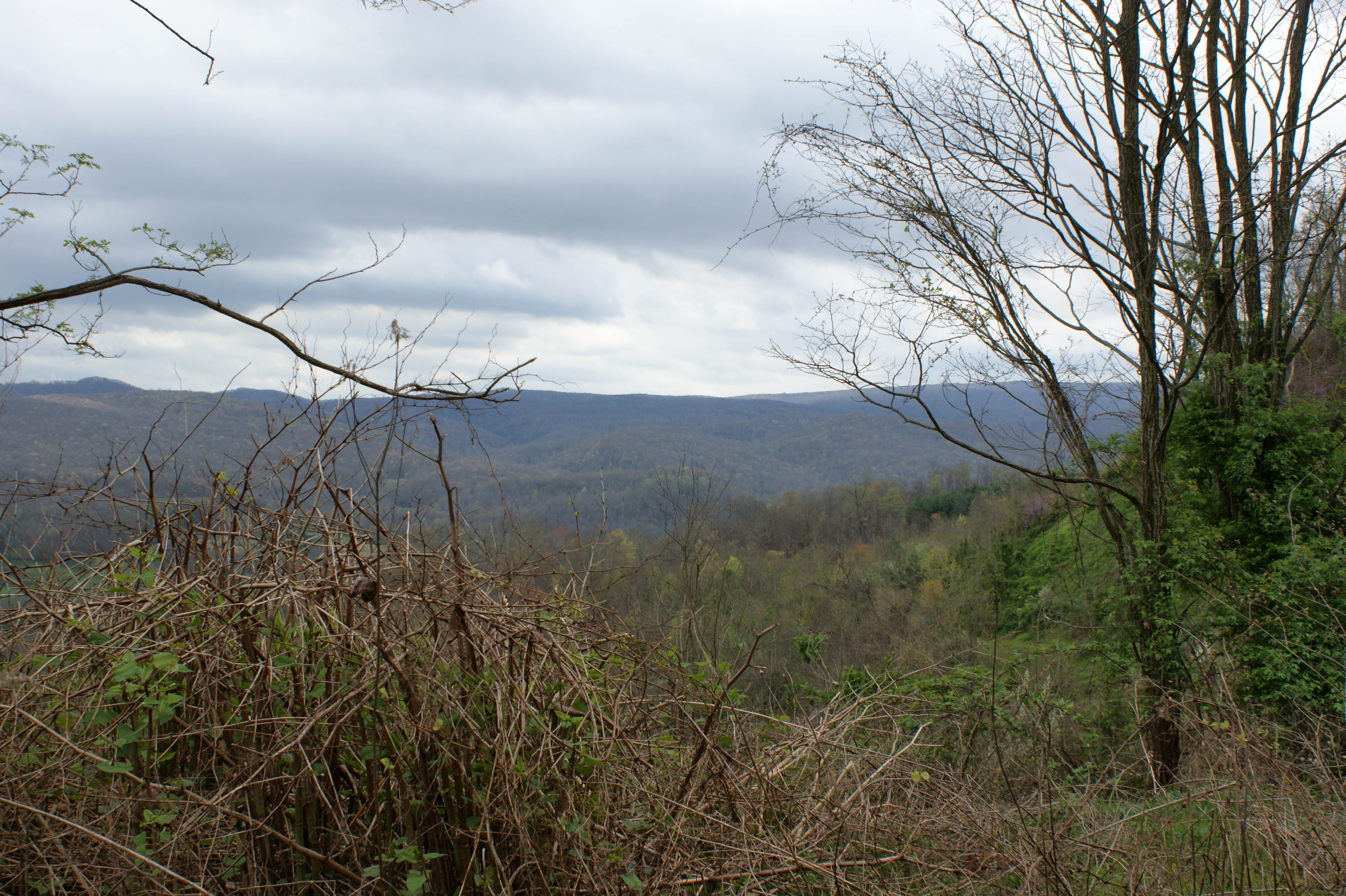
Wise County, Virginia Views
Wise County, Virginia Views
Wise County, Virginia Views
Wise County, Virginia Views

Wise County, Virginia Views
Wise County, Virginia Views
Wise County, Virginia Views
Wise County, Virginia Views
Wise County, Virginia Views

: : My Virginia : : Grazing in the Grass
Up Close and Personal
Turn Off the Paved Road
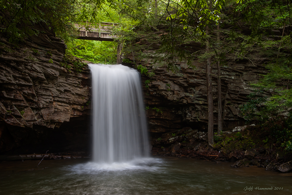
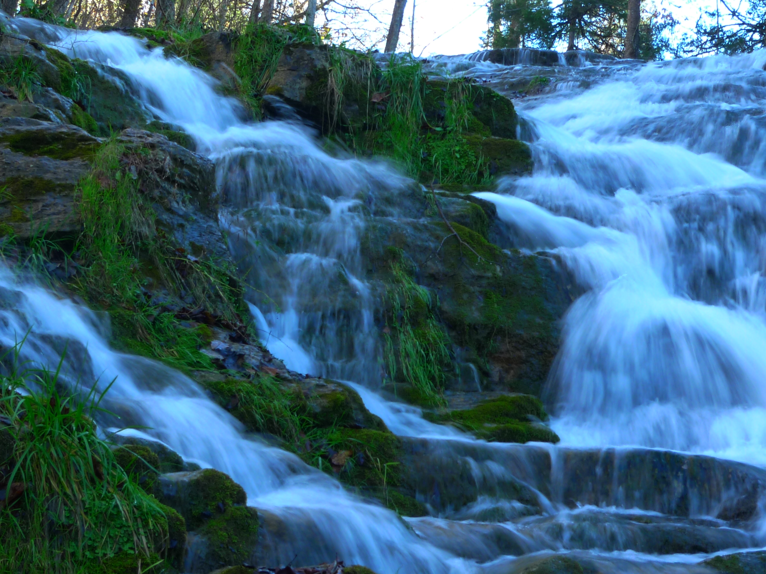
Upper Little Stony Falls

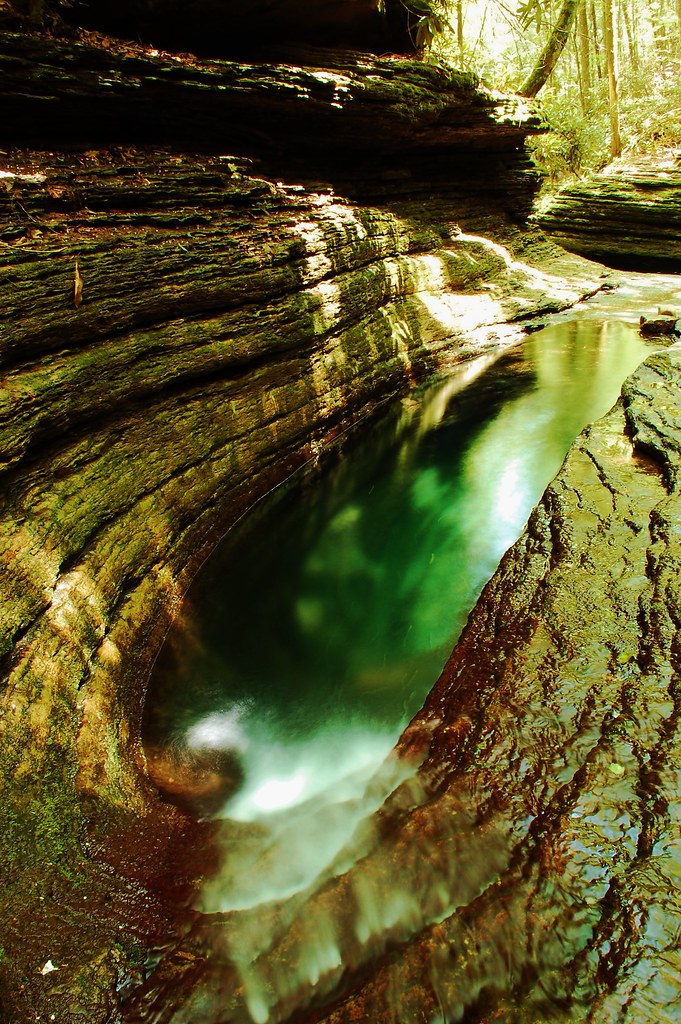
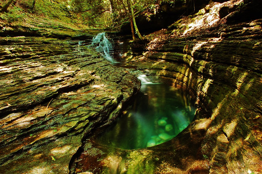
Devils Bathtub Lower Pool
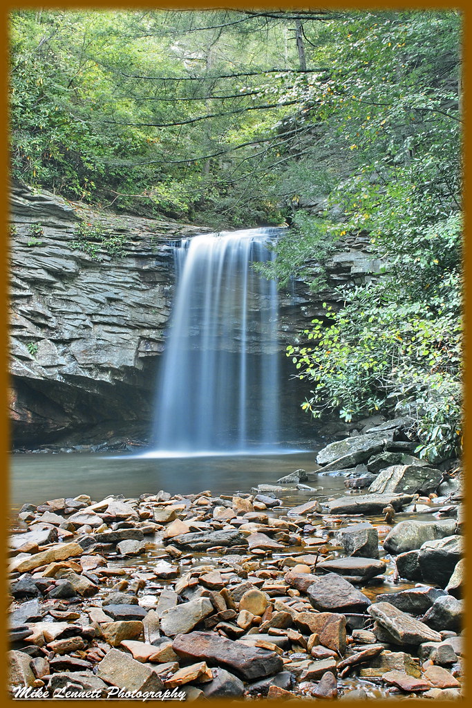
02839c Little Stoney Falls
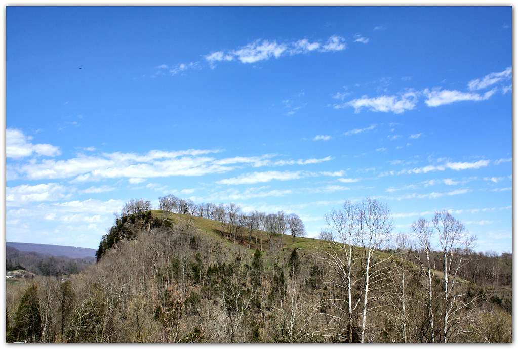
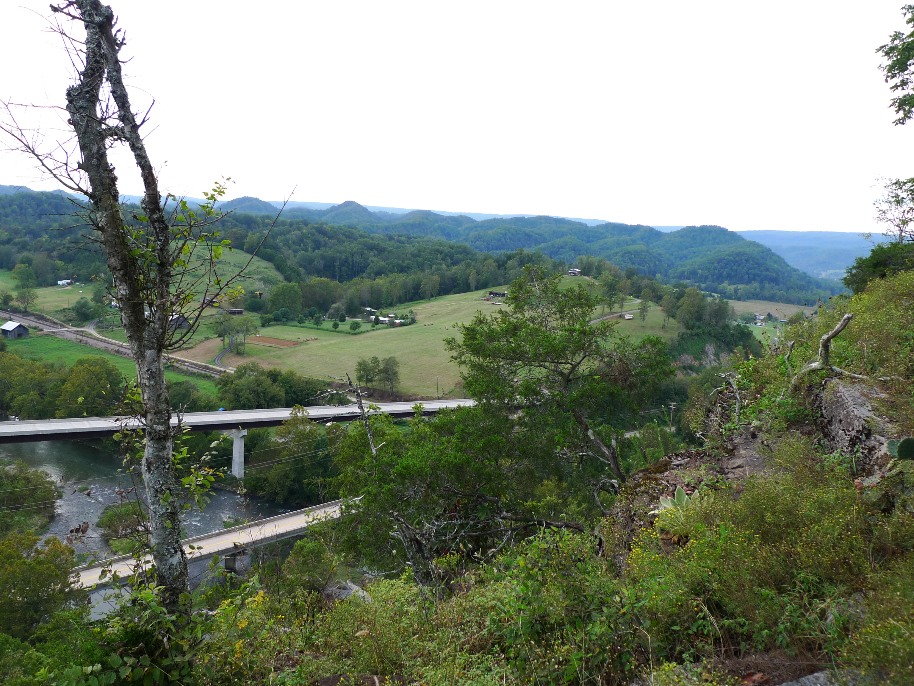
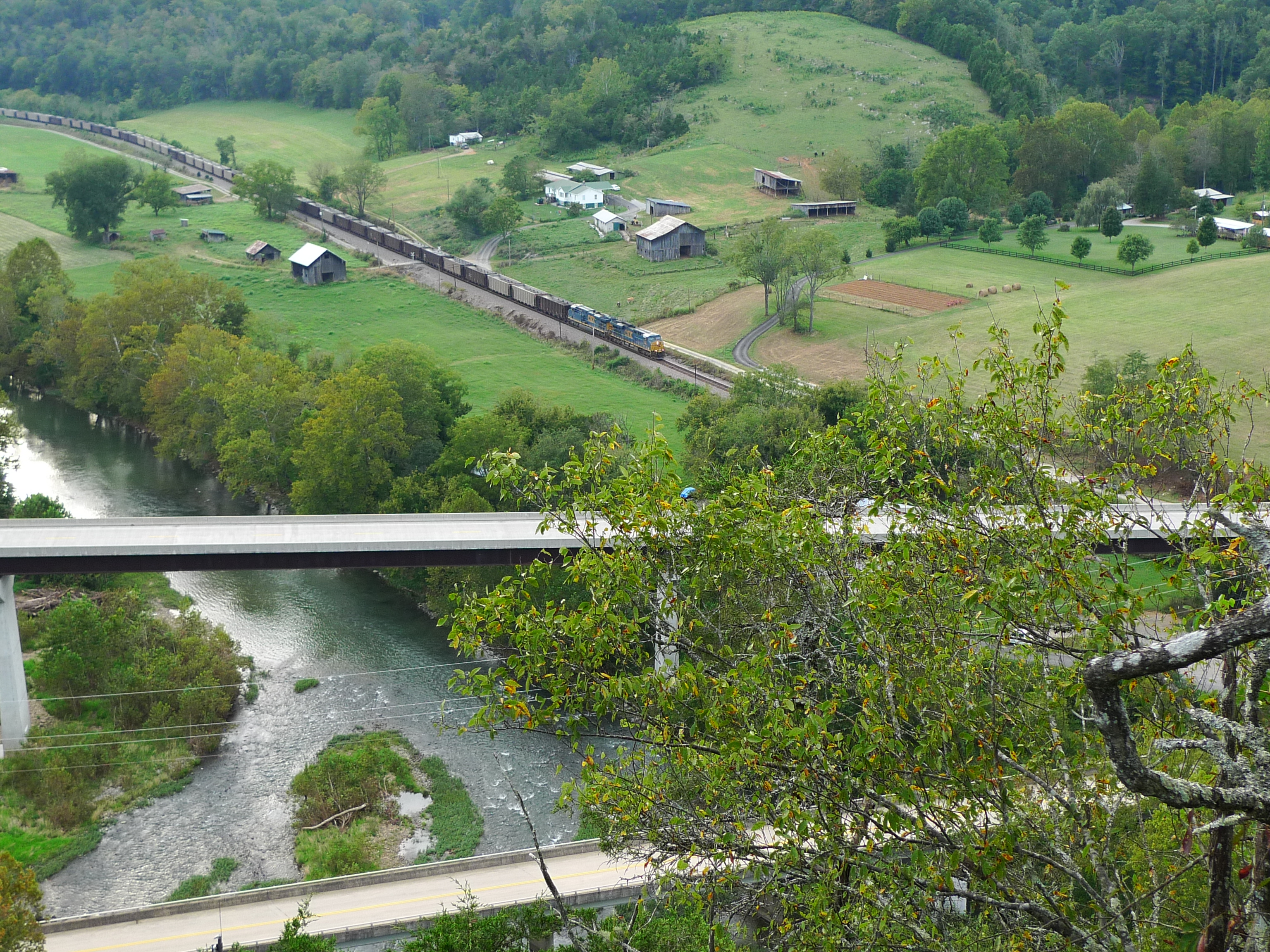
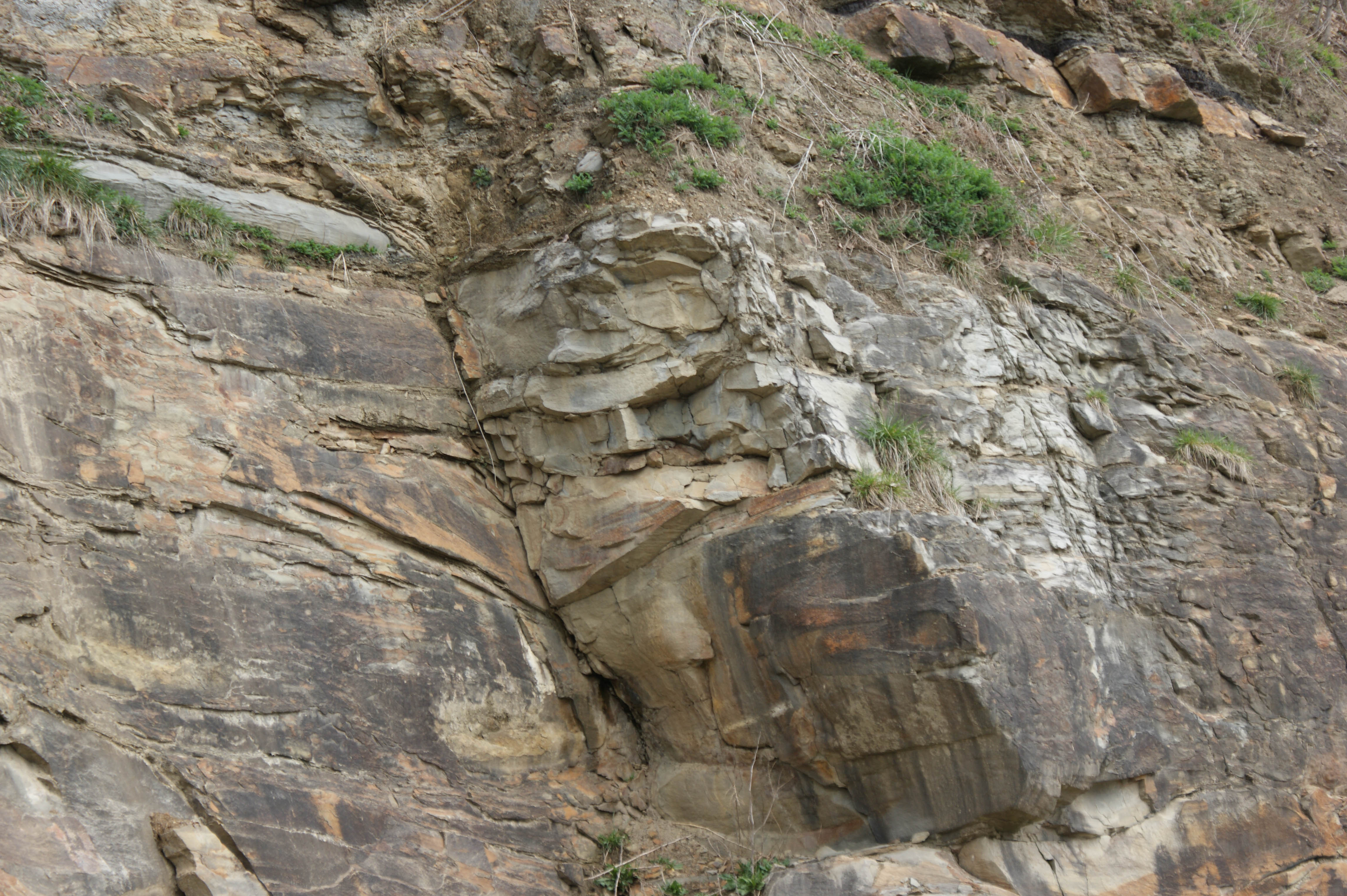
Clinch River Bluff

Copper Ridge Road

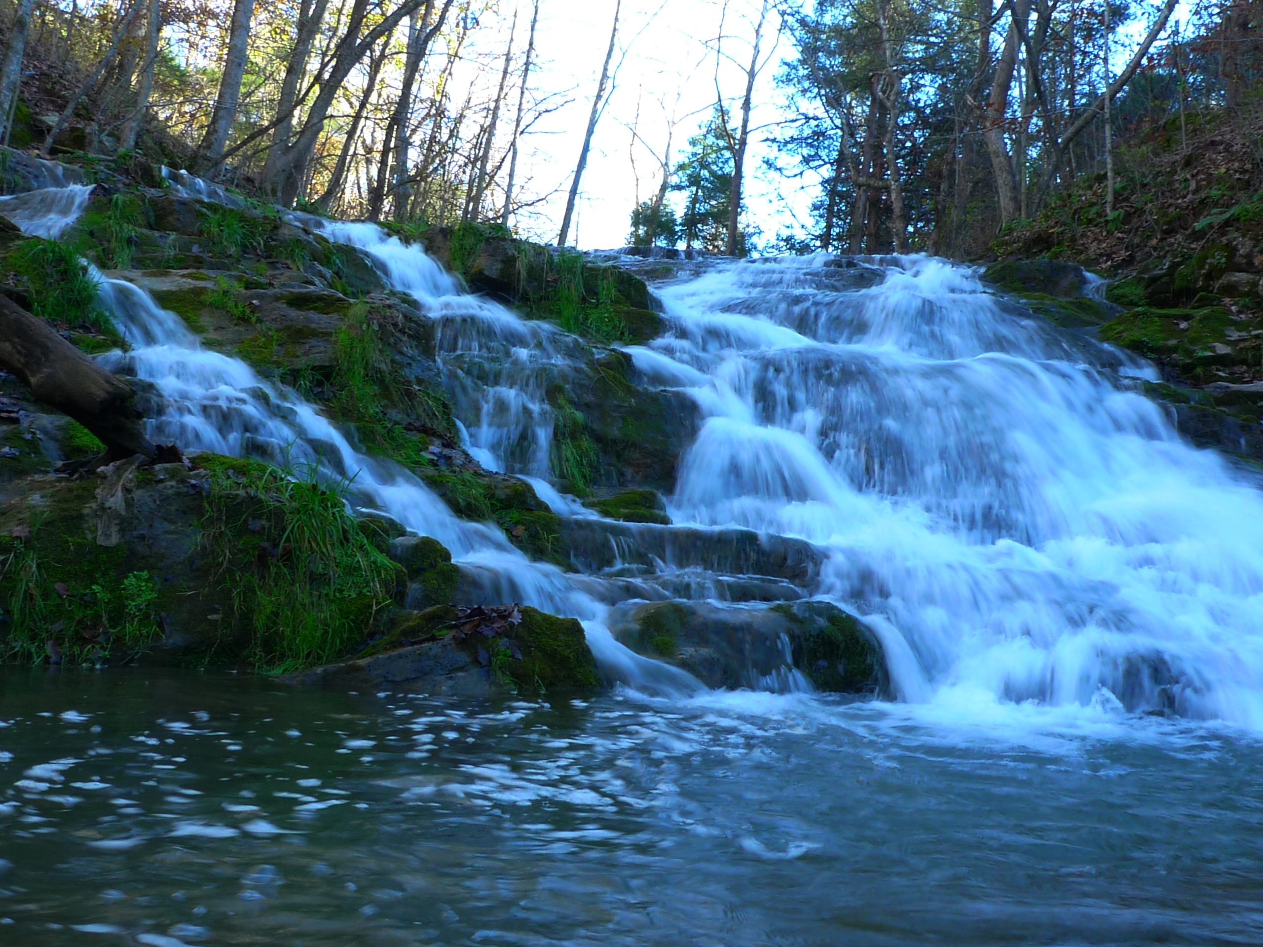
Little Stoney Creek Falls 1001
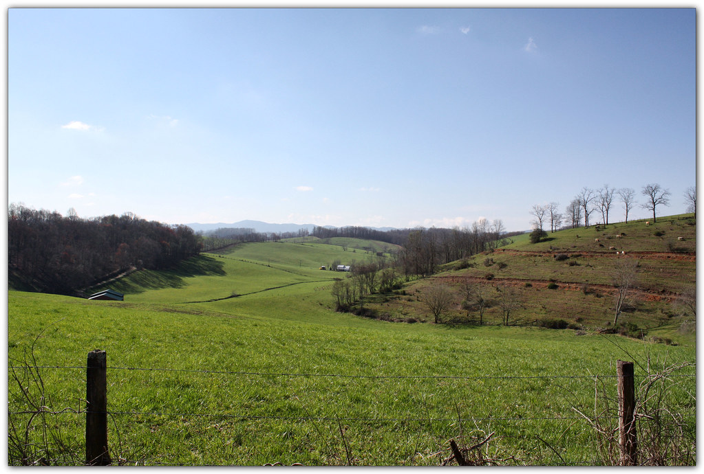
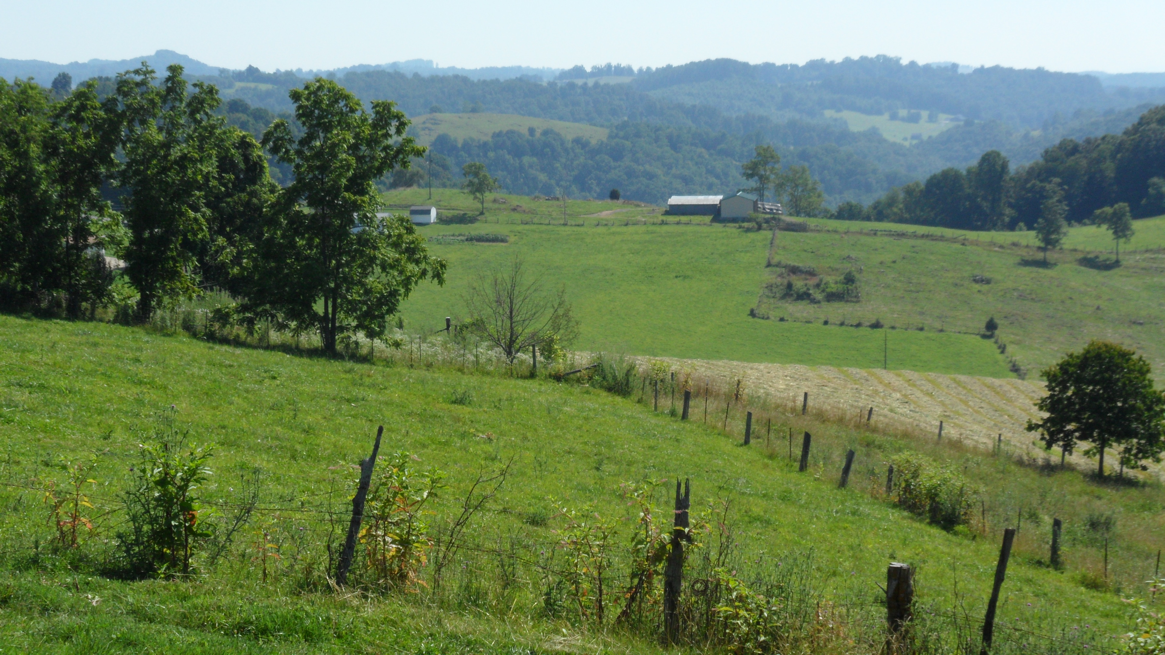
Green Pastures
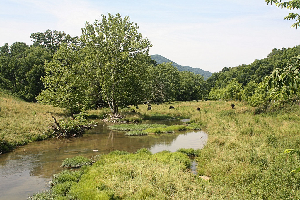
Grazing on Big Moccasin Creek
Fall Creek
Fall Creek
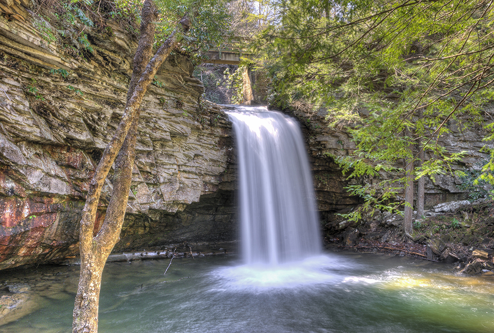
Devils Bathtub
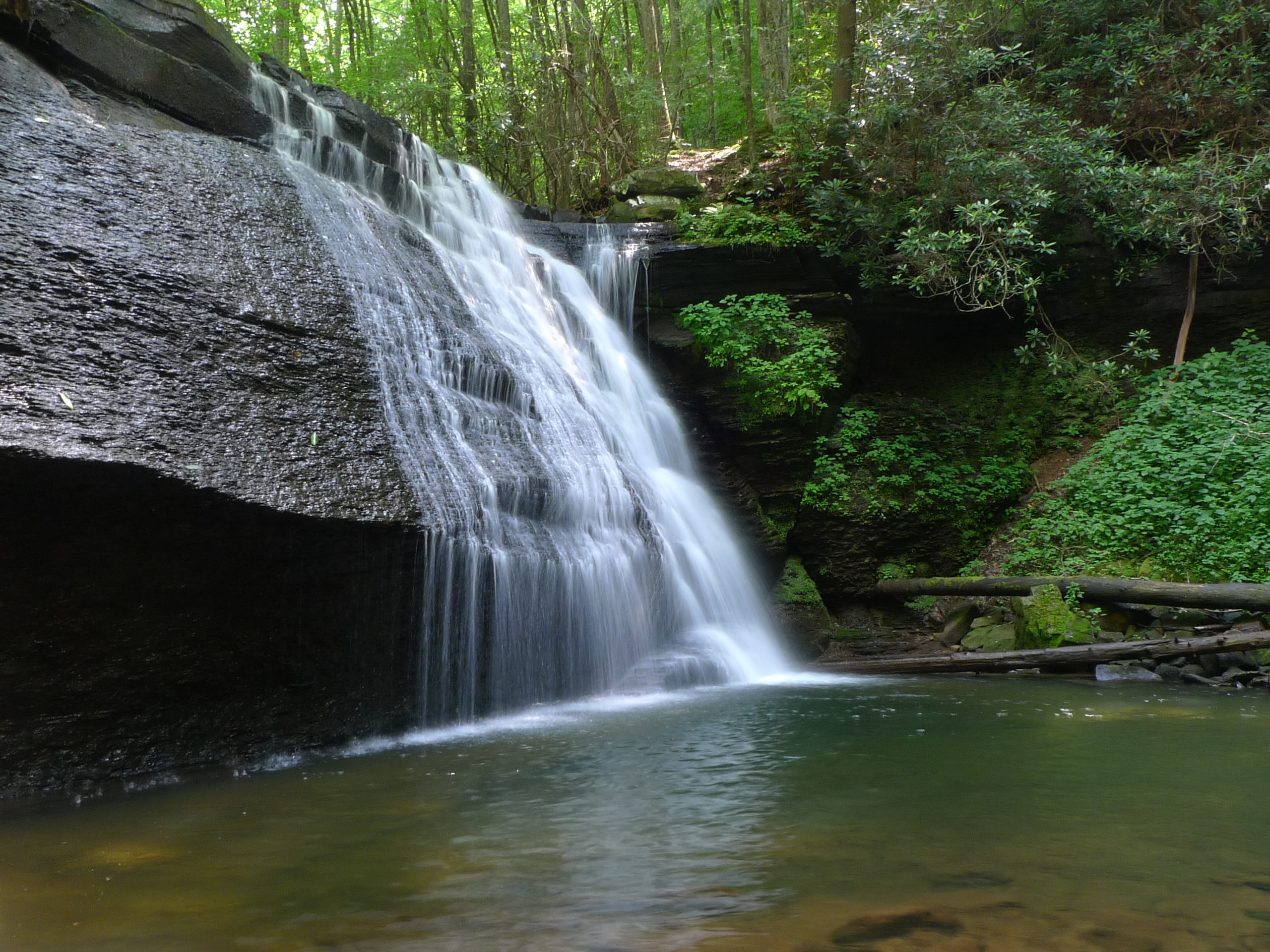
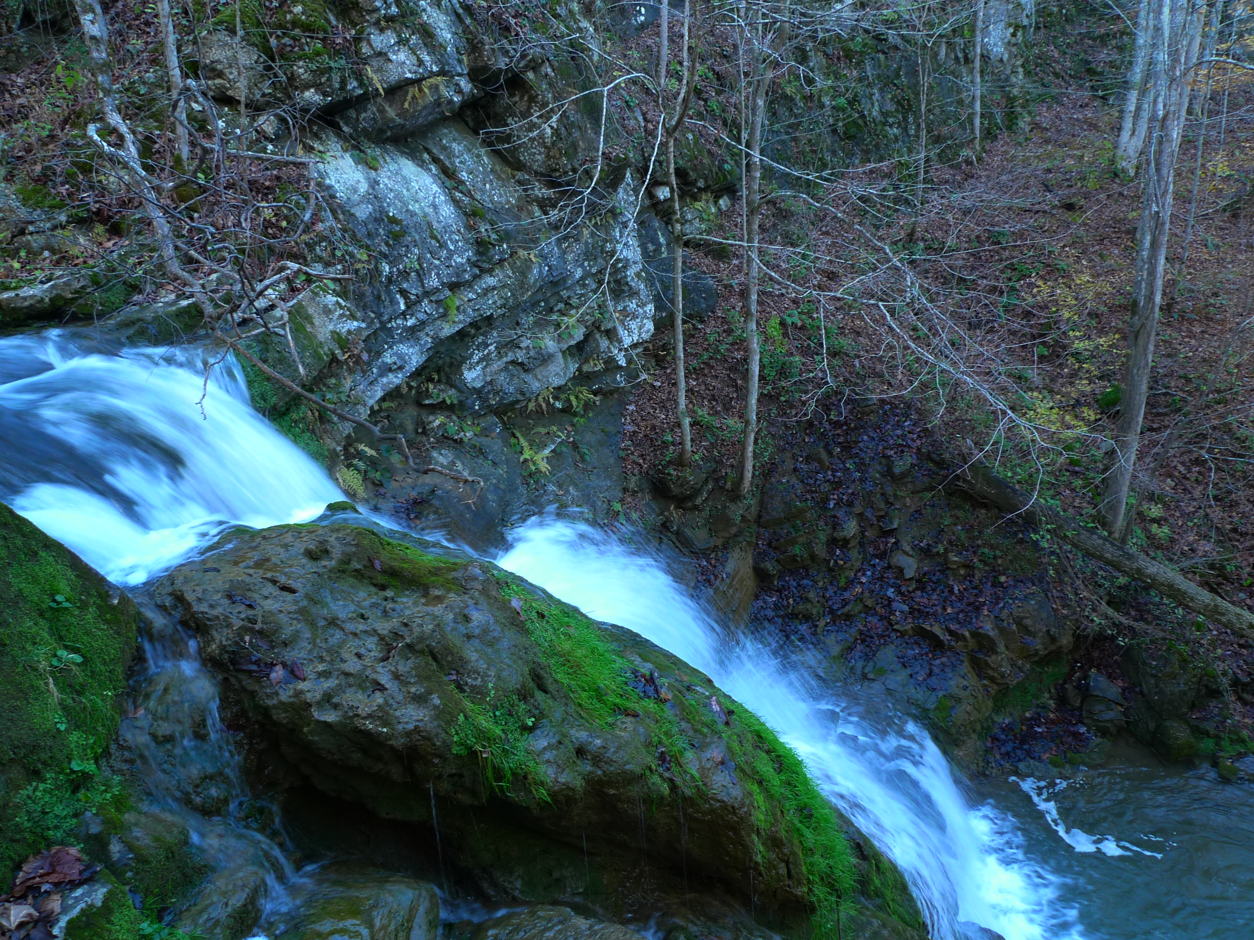
Little Stony Middle Falls
Upper Little Stony Falls

Fall Creek
Devils Bathtub
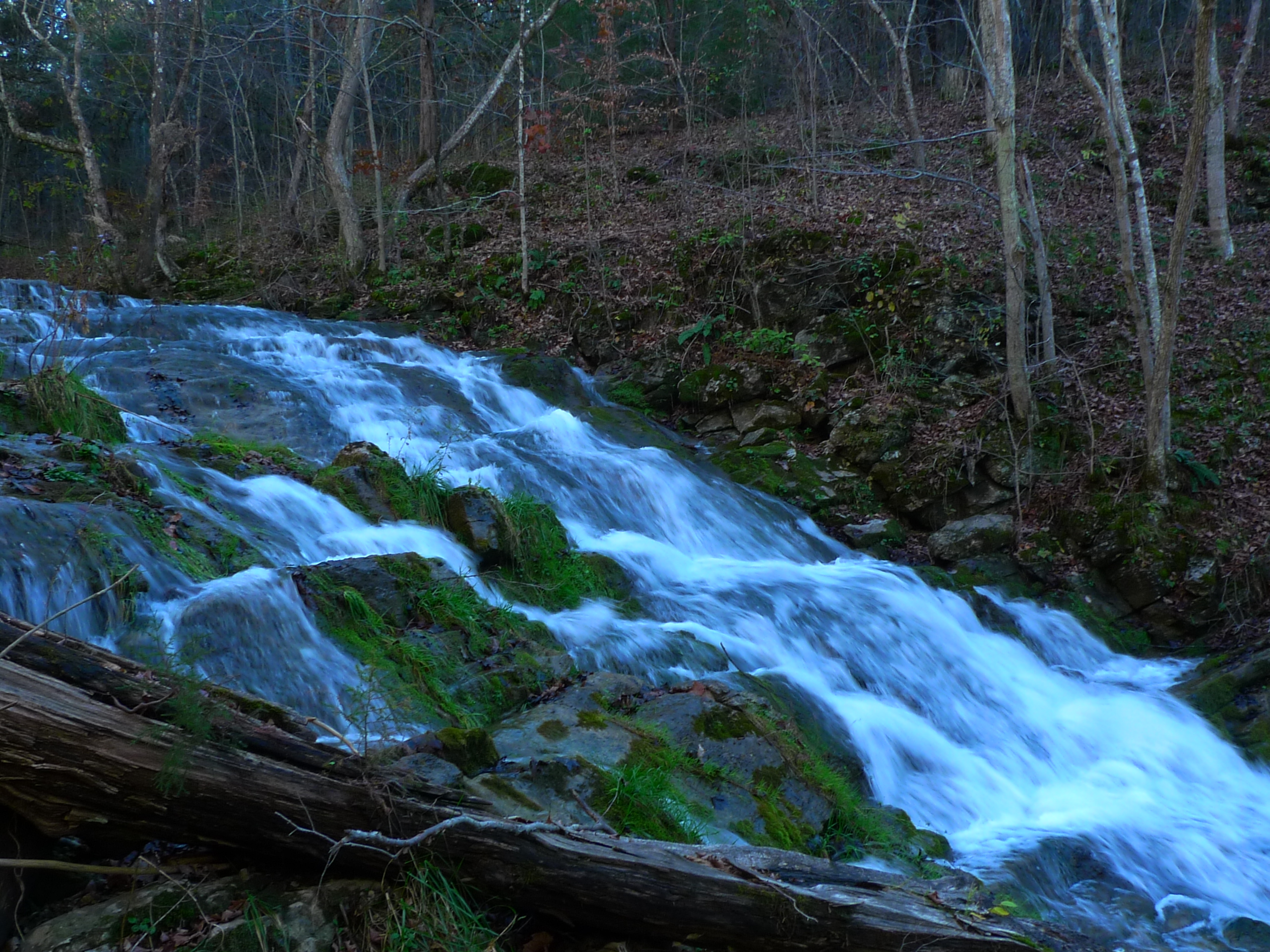
Fall Creek

Fall Creek
Mcconnell, VA
Fall Creek
Topographic Map of Dungannon, VA, USA
Find elevation by address:

Places in Dungannon, VA, USA:
Places near Dungannon, VA, USA:
Veterans Memorial Highway
7612 River Bluff Rd
Inthepines Circle
Grays Ford
Falls Creek Road
Twin Springs High School
Titan Ln, Nickelsville, VA, USA
937 Luray Rd
185 Cathedral Dr
Taffy Lane
2818 Dungannon Rd
Hunters Valley East Road
Hunters Valley East Road
Hunters Valley East Road
Hunters Valley East Road
Staunton Creek Lane
Long Hollow Road
Wood
4, VA, USA
10591 Pine Camp Rd
Recent Searches:
- Elevation of Tenjo, Cundinamarca, Colombia
- Elevation of Côte-des-Neiges, Montreal, QC H4A 3J6, Canada
- Elevation of Bobcat Dr, Helena, MT, USA
- Elevation of Zu den Ihlowbergen, Althüttendorf, Germany
- Elevation of Badaber, Peshawar, Khyber Pakhtunkhwa, Pakistan
- Elevation of SE Heron Loop, Lincoln City, OR, USA
- Elevation of Slanický ostrov, 01 Námestovo, Slovakia
- Elevation of Spaceport America, Co Rd A, Truth or Consequences, NM, USA
- Elevation of Warwick, RI, USA
- Elevation of Fern Rd, Whitmore, CA, USA