Elevation of Loftis Rd, Parrottsville, TN, USA
Location: United States > Tennessee > Cocke County > Parrottsville >
Longitude: -83.043002
Latitude: 36.0386562
Elevation: 398m / 1306feet
Barometric Pressure: 97KPa
Elevation Map:
Satellite Map:
Related Photos:
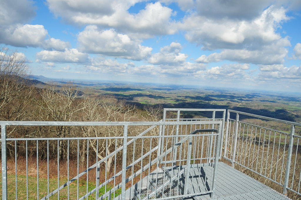
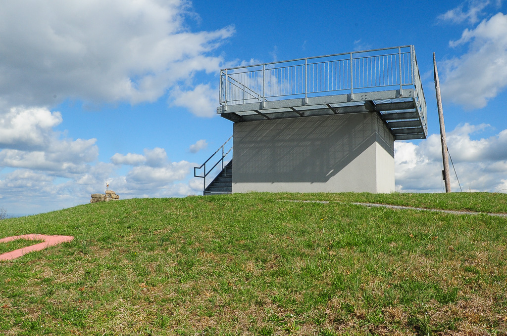
Meadow Creek Lookout Tower

Meadow Creek Lookout Tower

Rural Barn of Tennessee

Houston Valley

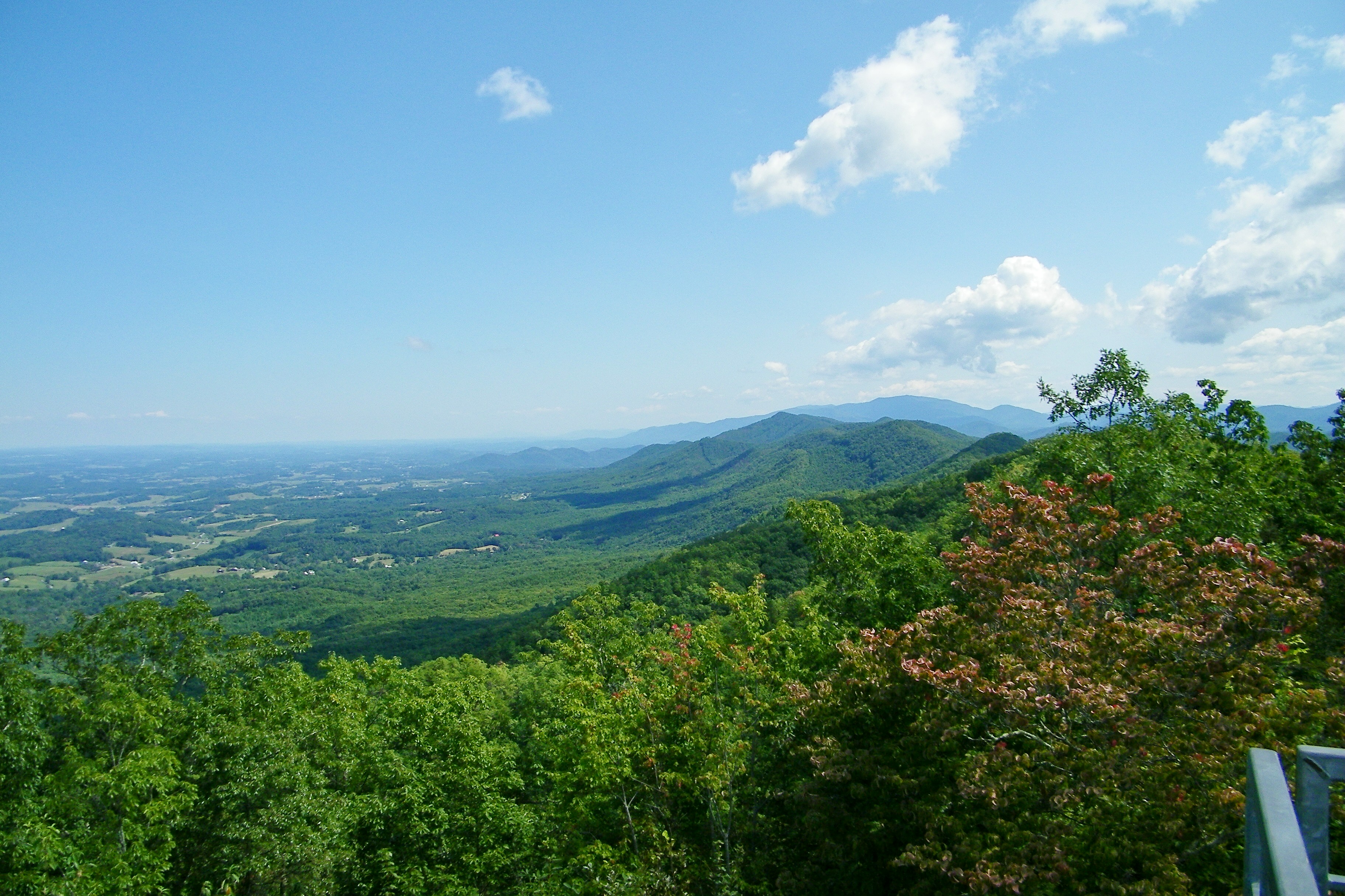
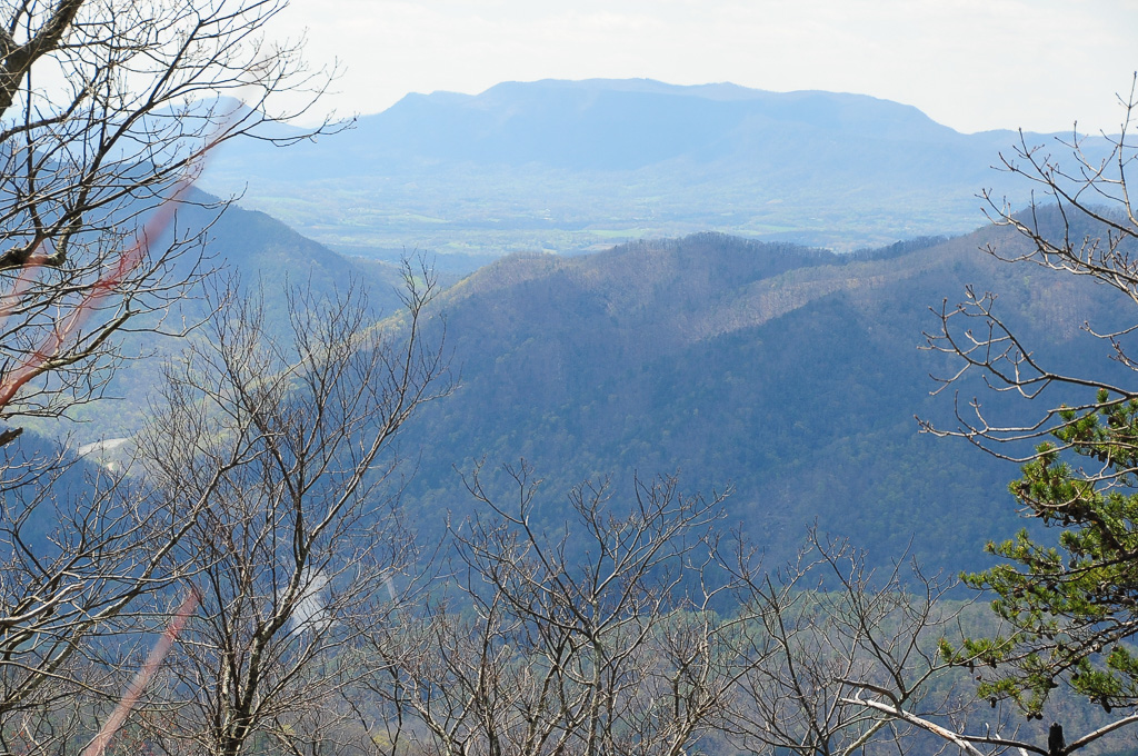
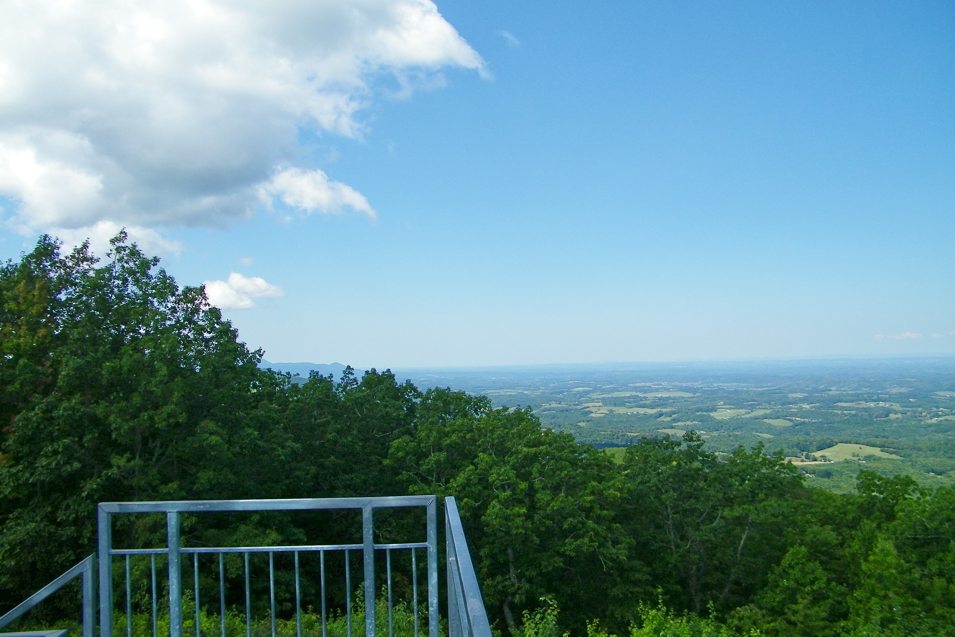
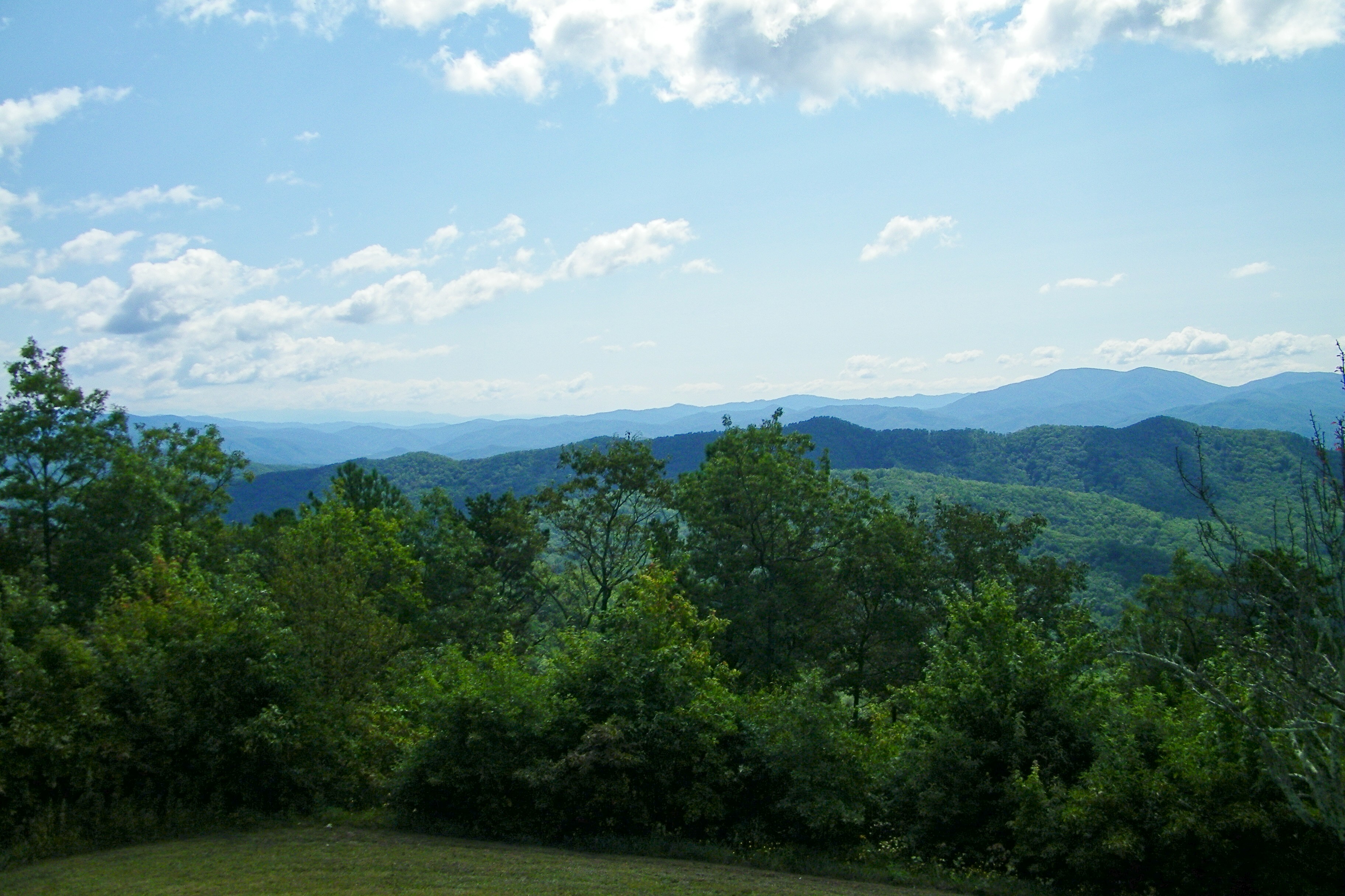
View from Meadow Creek Firetower
View from Meadow Creek Firetower
View from Meadow Creek Firetower

W4T/SU-073 - Cliffy Benchmark View
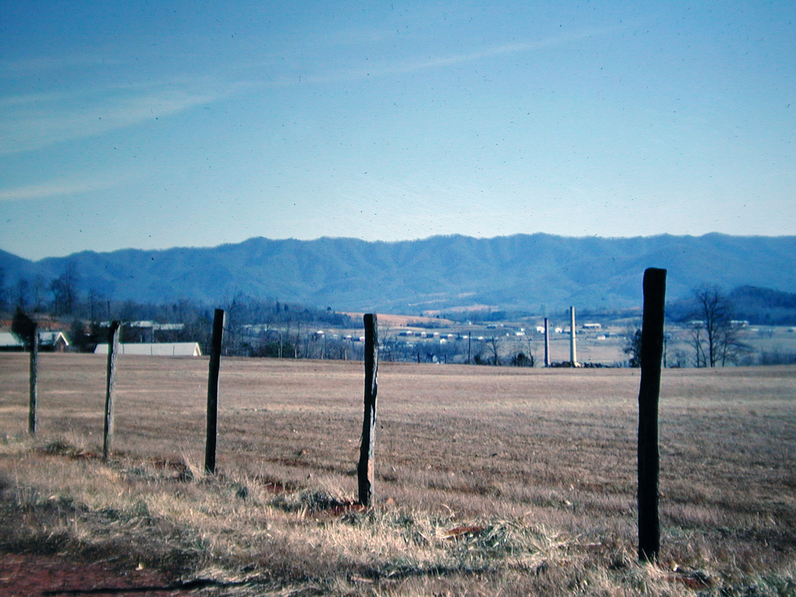
View at Newport, Tennessee, 1968
View of W4T/SU-053 - English Mtn
View from Meadow Creek Firetower
View to North from Meadow Creek Lookout

View from Meadow Creek Firetower

View from Meadow Creek Firetower
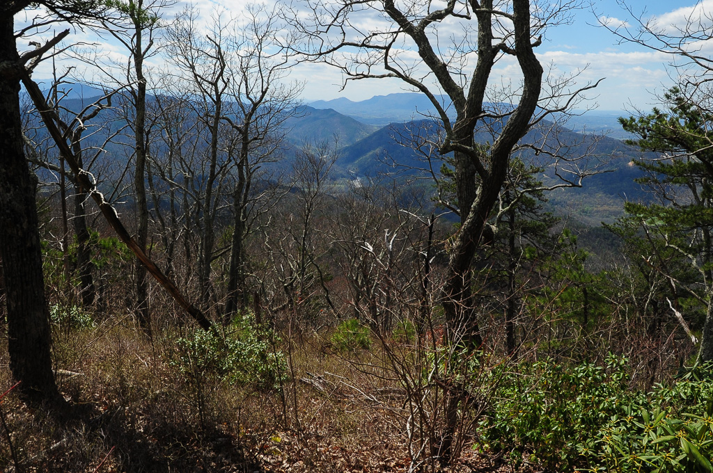
W4T/SU-073 - Cliffy Benchmark View
Meadow Creek Lookout Tower
Meadow Creek Lookout Tower

Meadow Creek Lookout Tower

Cocke County, TN Courthouse - Newport, TN

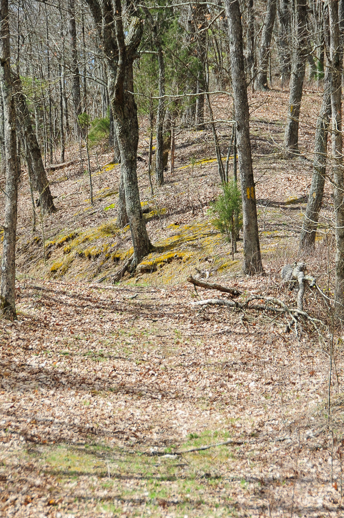
Trail Intersection heading to W4T/SU-095 - Paint Mtn
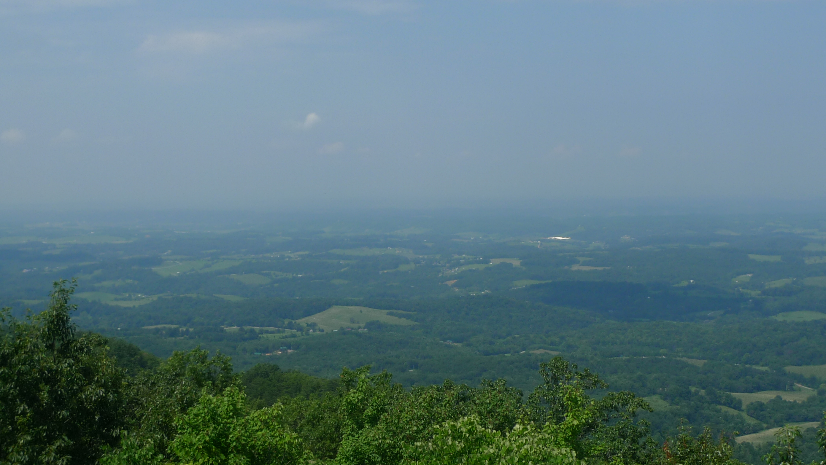
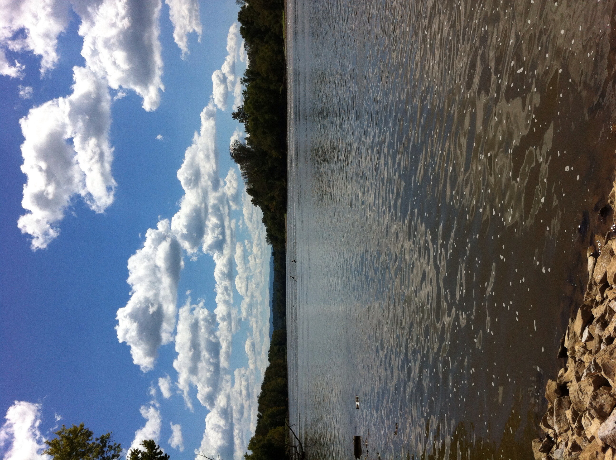
123 along the French Broad
135 at Newport

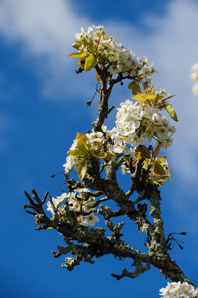
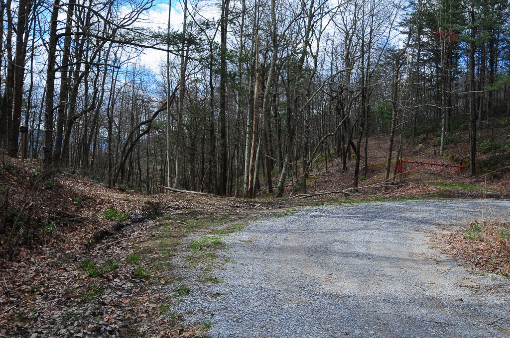
Parrottsville Country
French Broad River, near Hot Springs, NC

Neddy Mountain, Cherokee National Forest, Tennessee
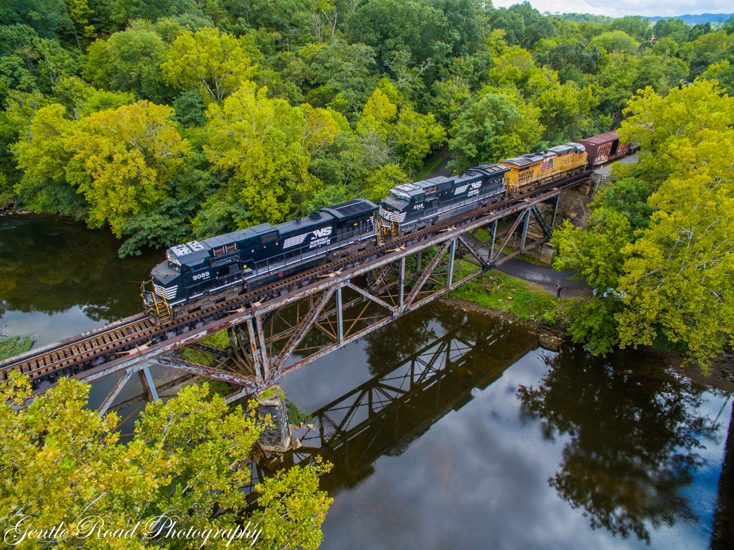
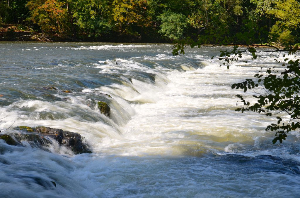
French Broad River
French Broad River
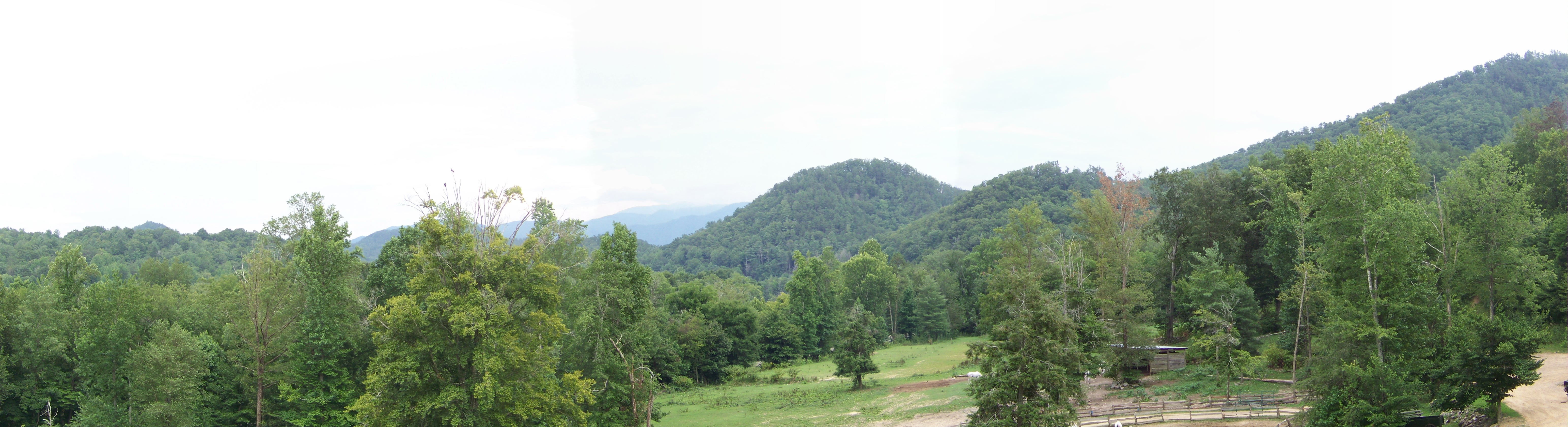
Panorama II

Panorama I
Trail Intersection heading to W4T/SU-073 - Cliffy Benchmark

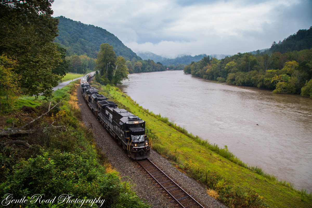
Train coming around Weaver Bend
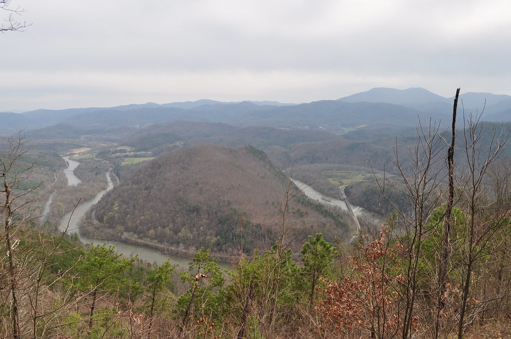
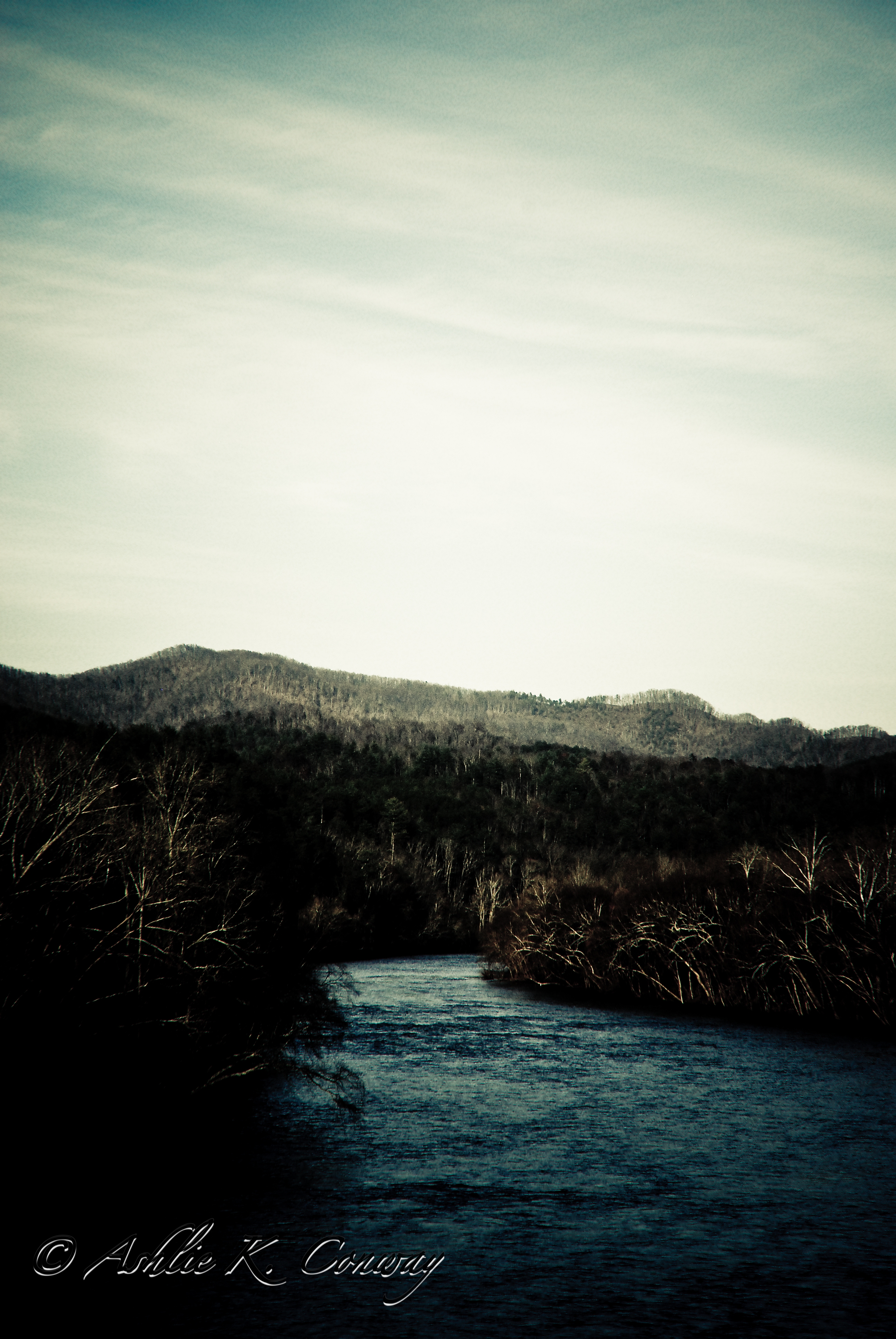
Double bend in the French Broad River
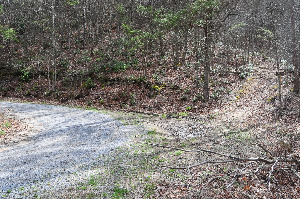
Trail Intersection heading to W4T/SU-073 - Cliffy Benchmark
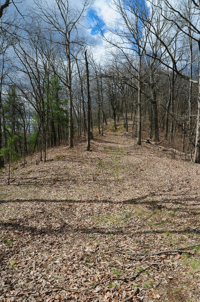
Trail to W4T/SU-095 - Paint Mtn
Trail Intersection heading to W4T/SU-073 - Cliffy Benchmark
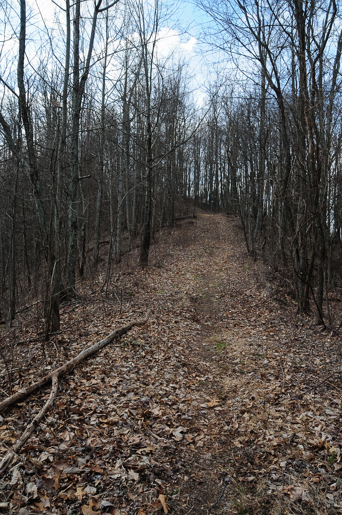
Trail to W4T/SU-073 - Cliffy Benchmark
Topographic Map of Loftis Rd, Parrottsville, TN, USA
Find elevation by address:

Places near Loftis Rd, Parrottsville, TN, USA:
Parrottsville, TN, USA
Luther Memorial Road
1302 E Stage Coach Rd
545 Oven Creek Ln
1763 Goodwater Rd
Pates Hill Rd, Mosheim, TN, USA
1428 Goodwater Rd
241 E Stage Coach Rd
1244 Bruner Grove Rd
1346 Goodwater Rd
Culbertson Rd, Greeneville, TN, USA
1172 Palmer Hollow Rd
12315 Warrensburg Rd
505 W Hogan Ln
10 W Hogan Ln
1030 Creek Rd
6765 Warrensburg Rd
6660 Warrensburg Rd
555 Airport Rd
575 Lonesome Pine Rd
Recent Searches:
- Elevation of Bydgoszcz, Poland
- Elevation of Bydgoszcz, Poland
- Elevation of Calais Dr, Del Mar, CA, USA
- Elevation of Placer Mine Ln, West Jordan, UT, USA
- Elevation of E 63rd St, New York, NY, USA
- Elevation of Elk City, OK, USA
- Elevation of Erika Dr, Windsor, CA, USA
- Elevation of Village Ln, Finleyville, PA, USA
- Elevation of 24 Oakland Rd #, Scotland, ON N0E 1R0, Canada
- Elevation of Deep Gap Farm Rd E, Mill Spring, NC, USA