Elevation of Culbertson Rd, Greeneville, TN, USA
Location: United States > Tennessee > Greene County > Greeneville >
Longitude: -82.9857
Latitude: 36.079224
Elevation: 378m / 1240feet
Barometric Pressure: 97KPa
Elevation Map:
Satellite Map:
Related Photos:

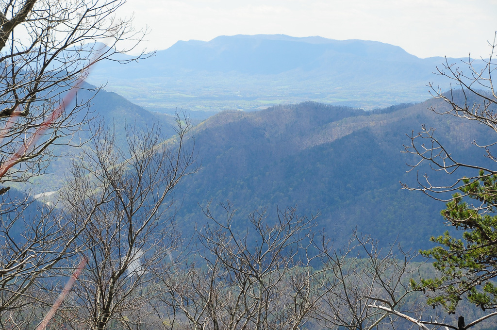
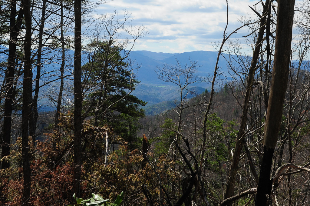
View from Meadow Creek Firetower

View from Meadow Creek Firetower

Houston Valley
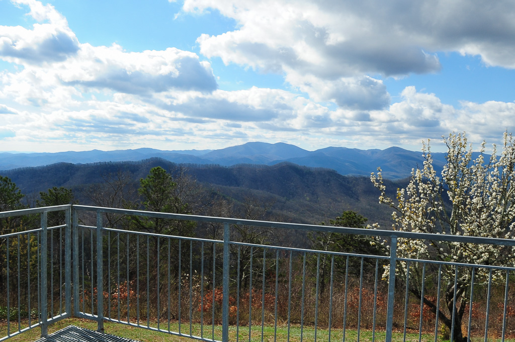
View from Meadow Creek Firetower
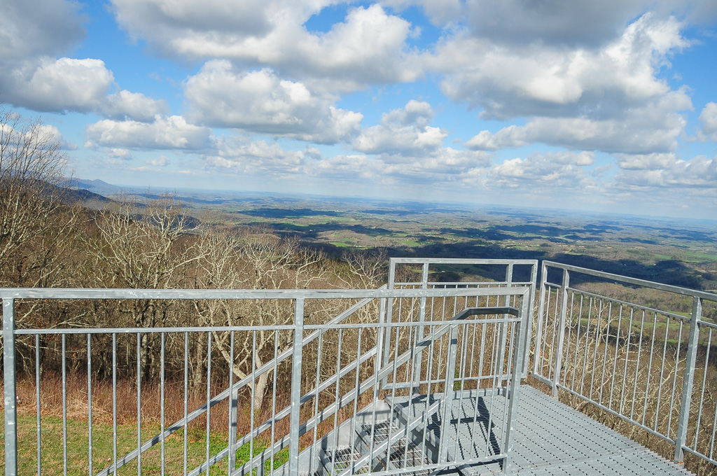
View from Meadow Creek Firetower
View of W4T/SU-073 - Cliffy Benchmark
View from Meadow Creek Firetower

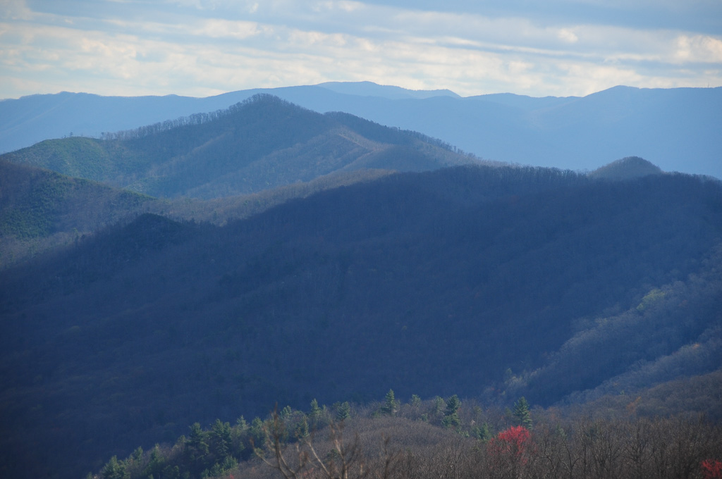
View of Cliffy Benchmark Ridgeline from Meadow Creek Firetower

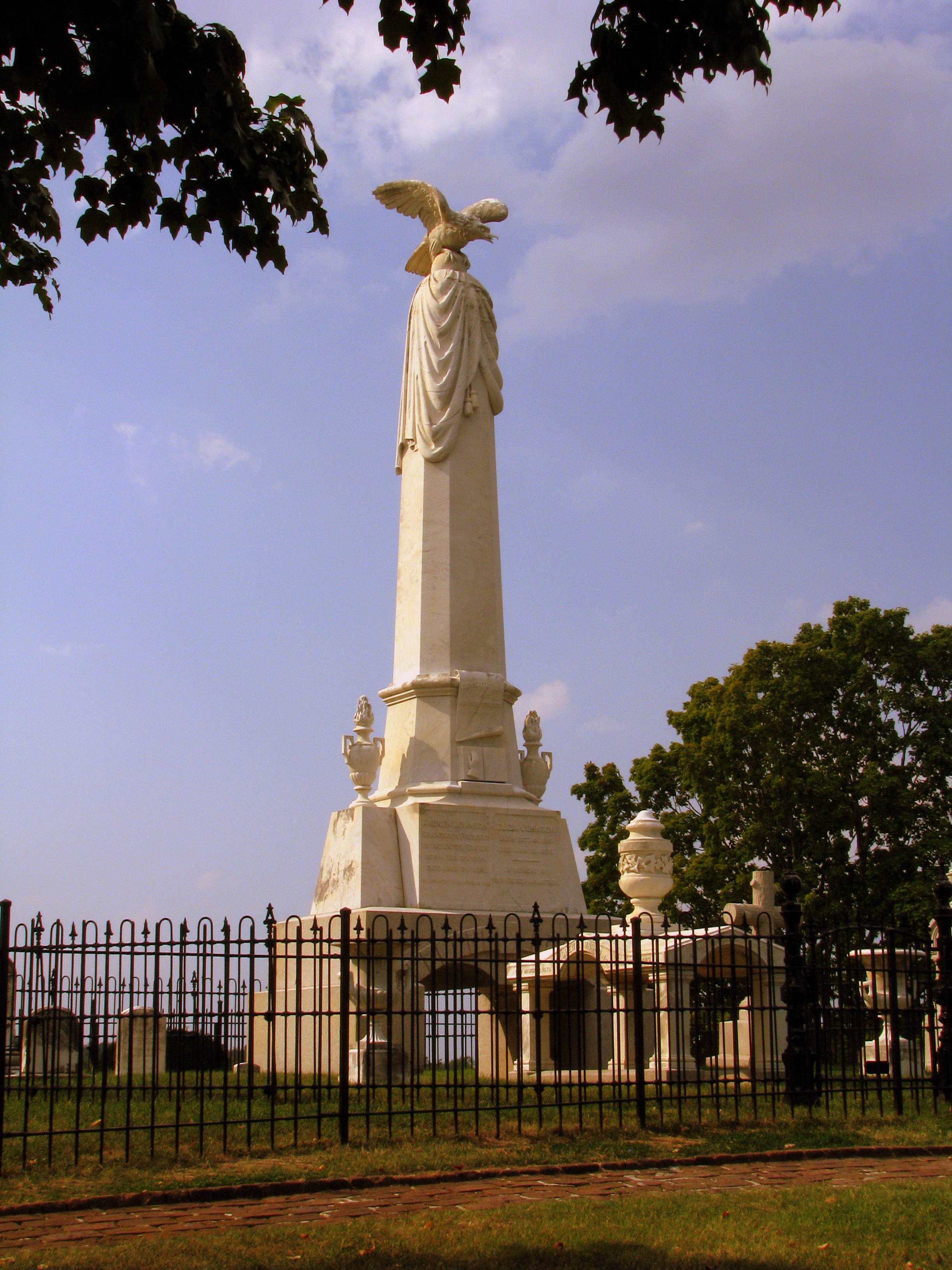
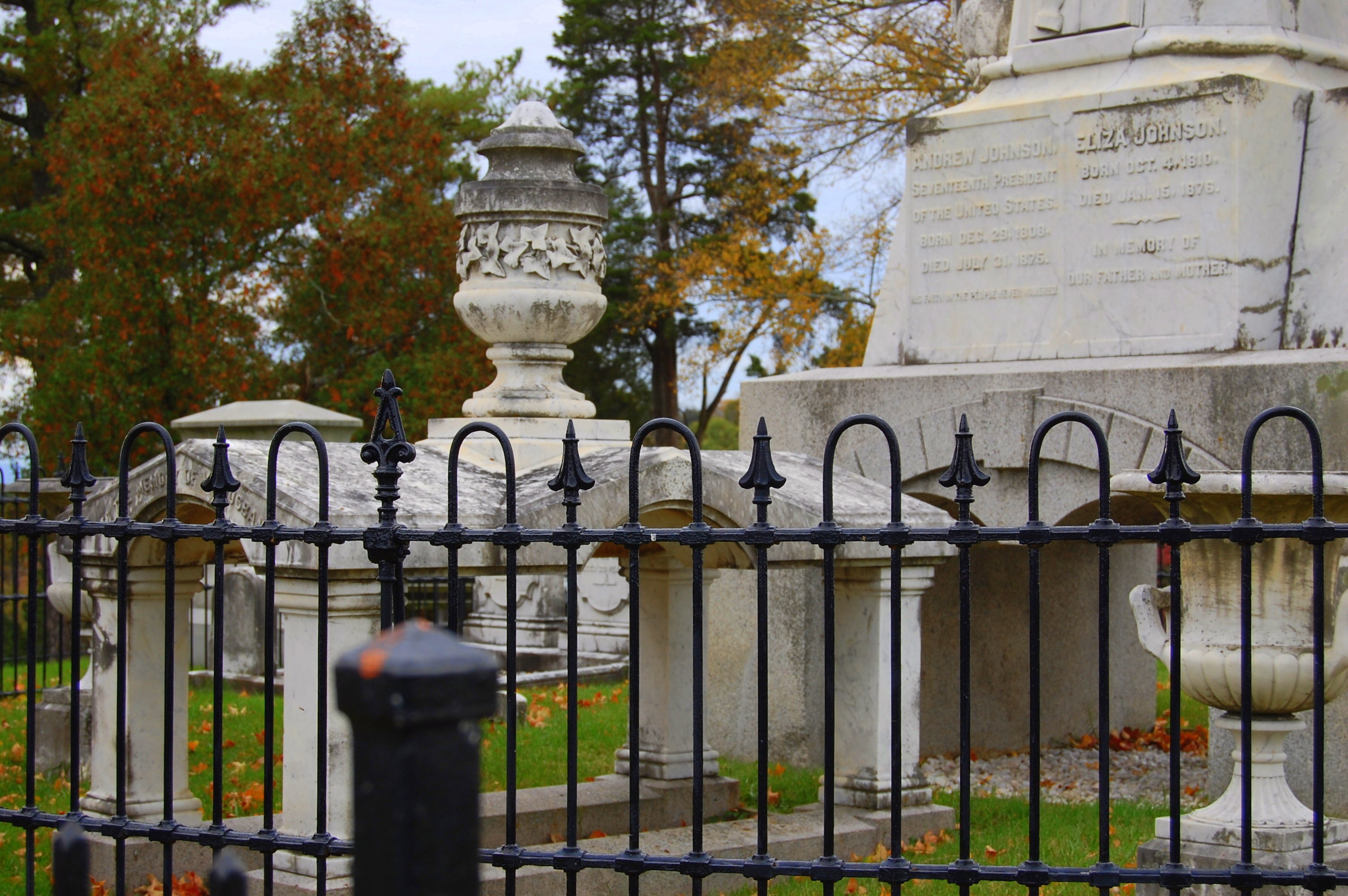
President Andrew Johnson Gravesite
President Andrew Johnson Gravesite 2

President Andrew Johnson Gravesite 5

W4T/SU-073 - Cliffy Benchmark View
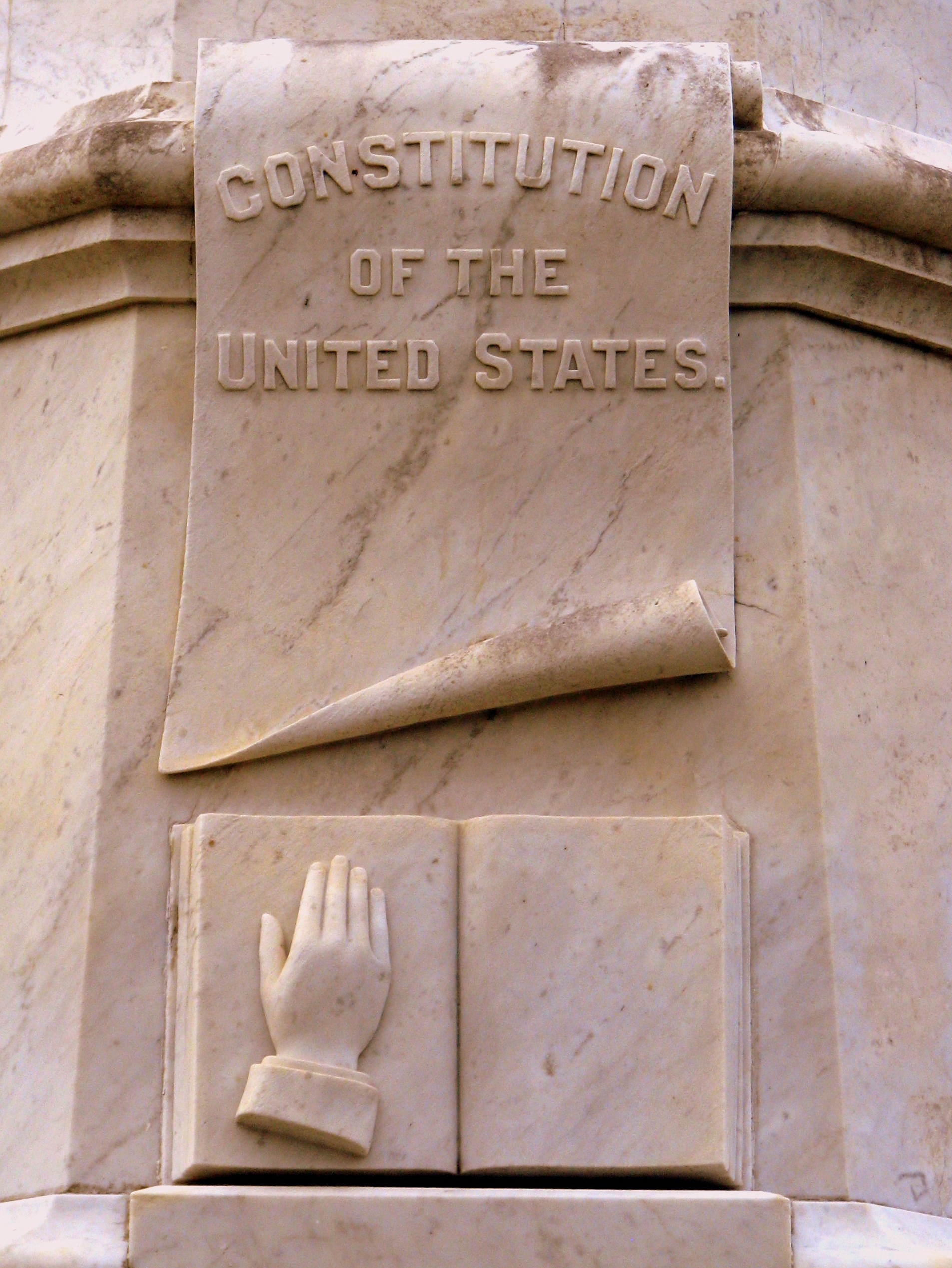
President Andrew Johnson Gravesite 4: Constitution & Bible
View of W4T/SU-053 - English Mtn
View from Meadow Creek Firetower
Trail View from W4T/SU-073 - Cliffy Benchmark
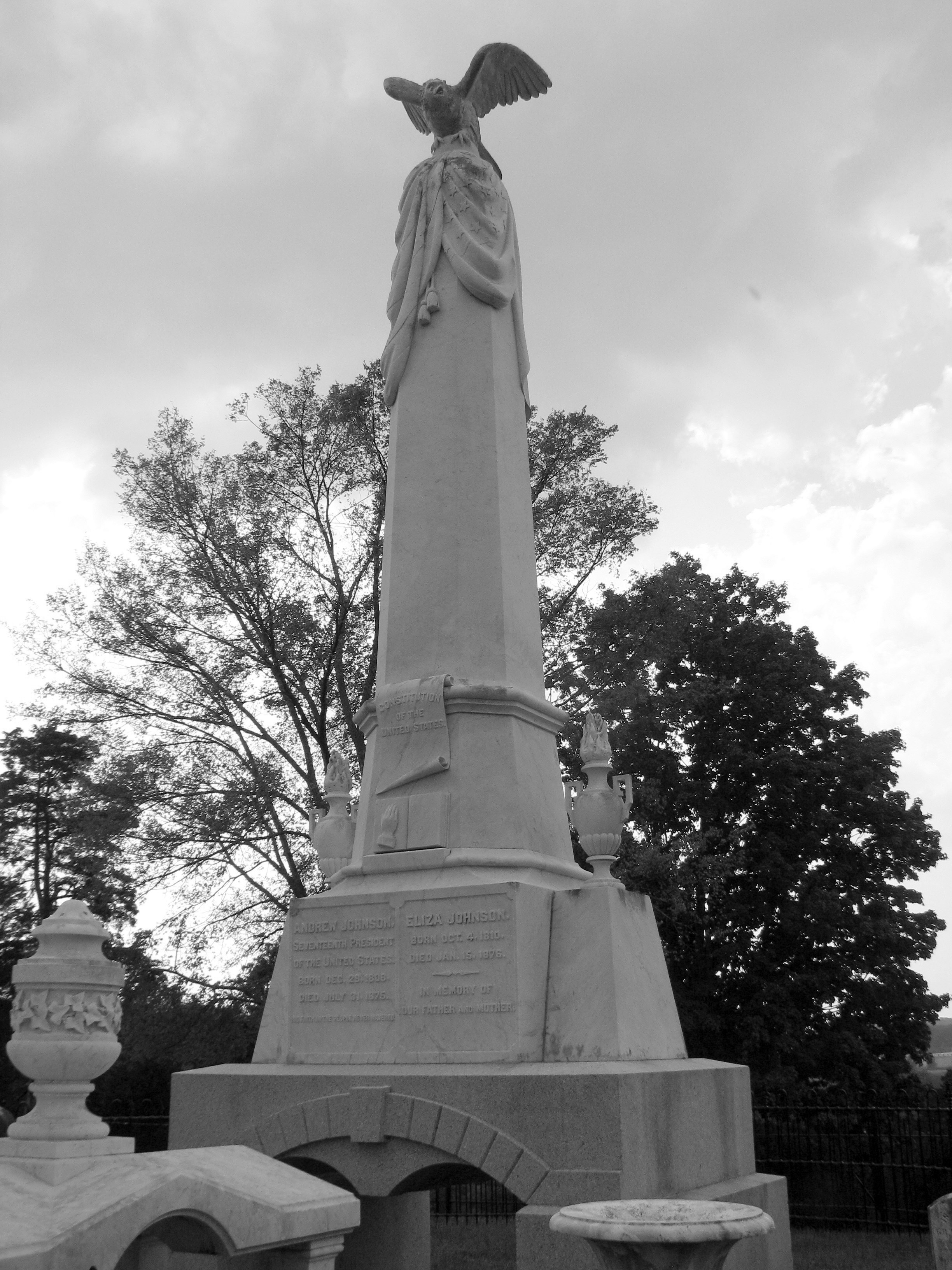
President Andrew Johnson Gravesite 3: B&W
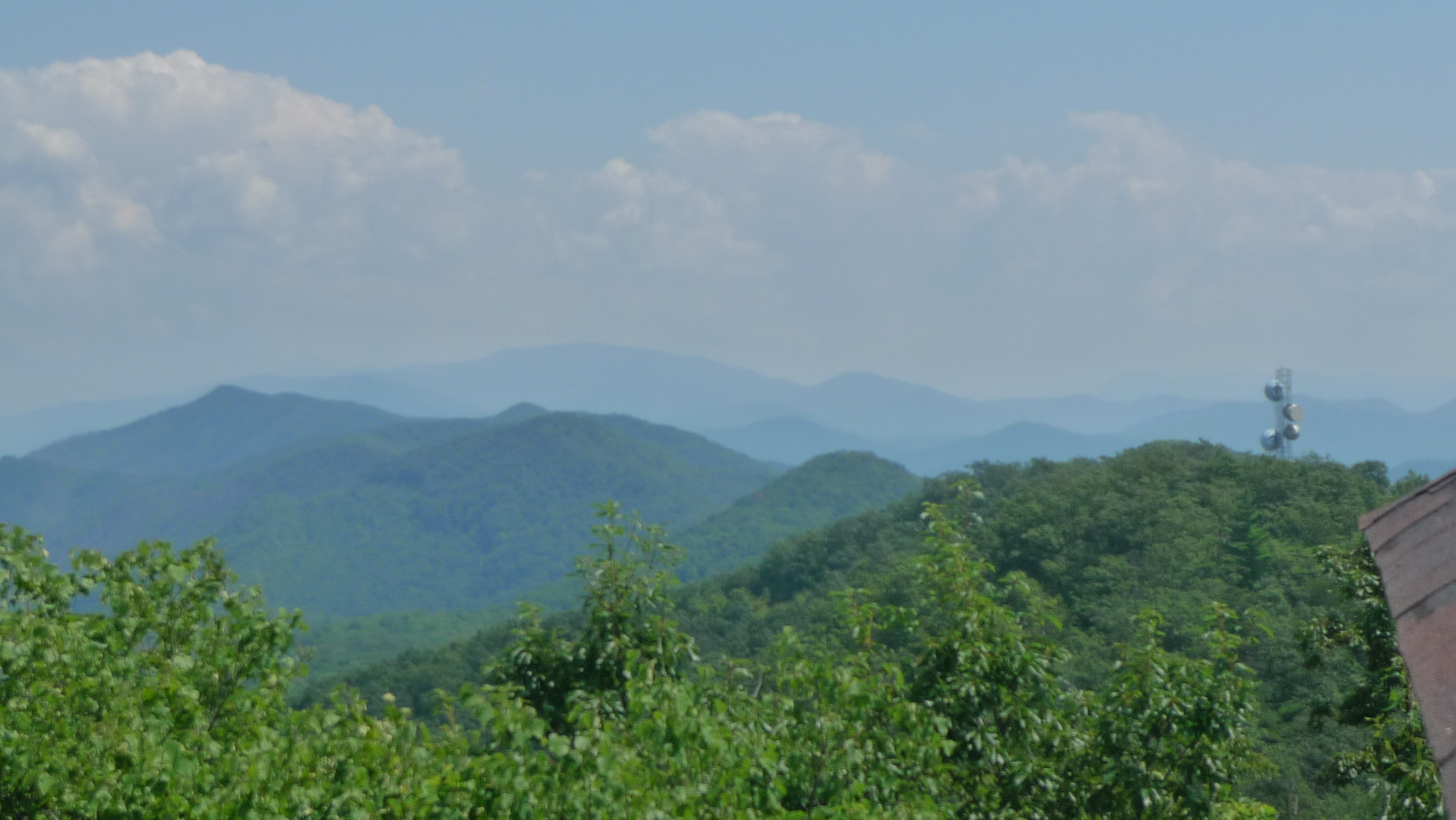
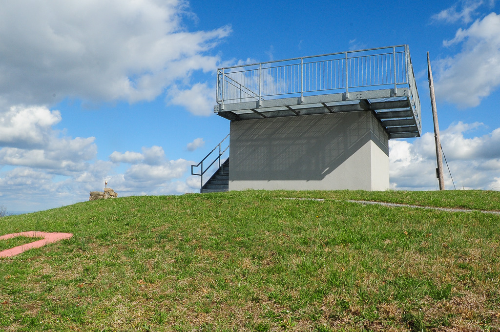
View from Meadow Creek Lookout
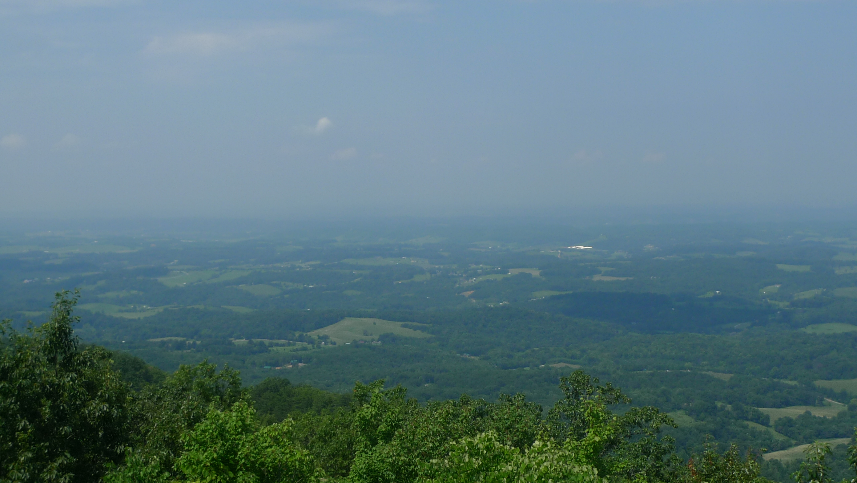
View to North from Meadow Creek Lookout

View from Meadow Creek Firetower
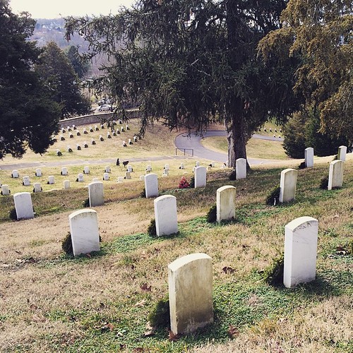
National Cemetery, Greeneville, TN
Midway Pastoral
So many men lost in all of our country's wars. #nationalcemetery #Tennessee

Trail Intersection heading to W4T/SU-095 - Paint Mtn

Parrottsville Country

Lick Creek, Greene County, TN

Farming in the Upper East Tennessee Valley

#waterfall #waterfalls

Beautiful Horse Farm in East Tennessee

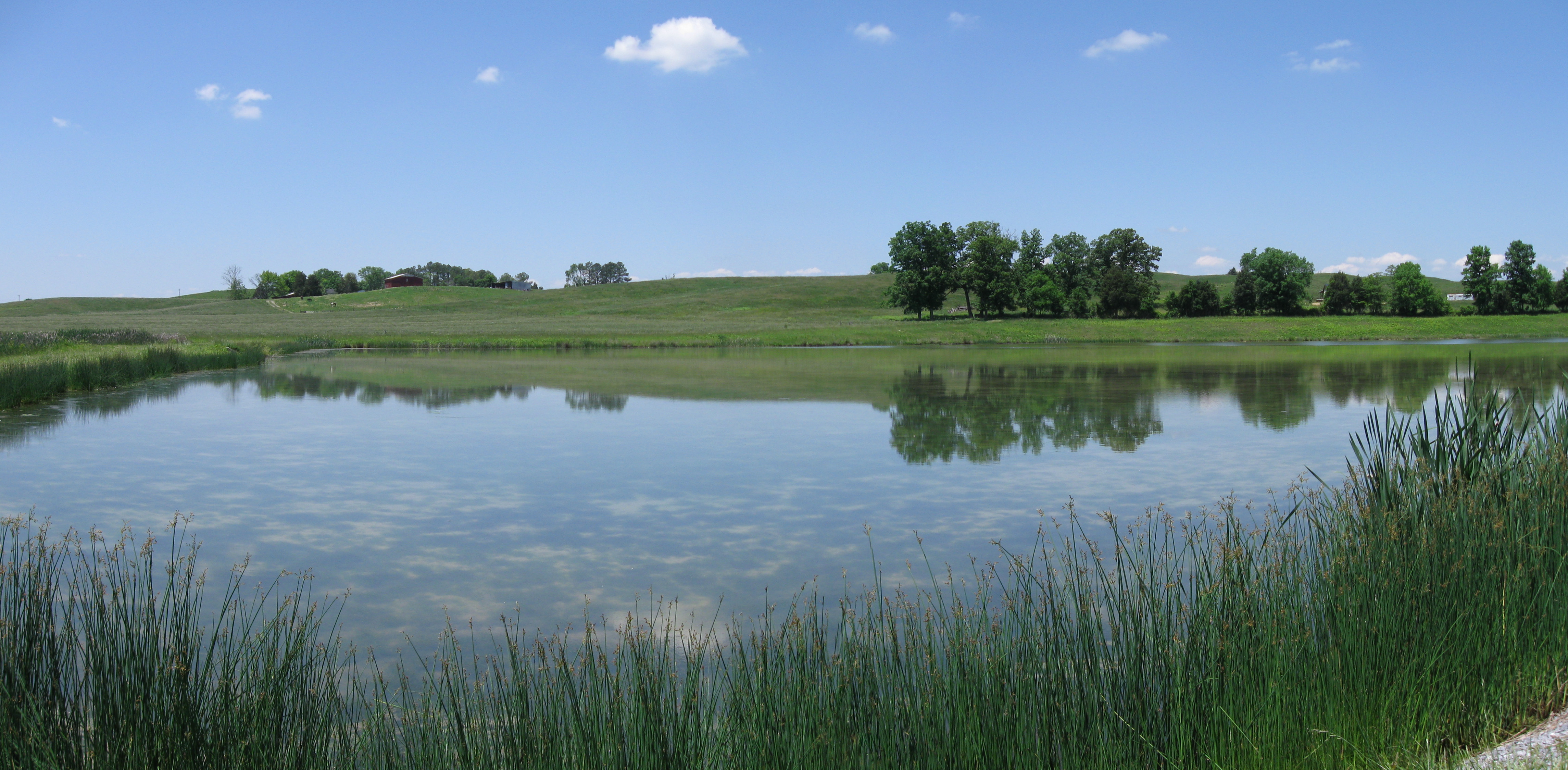
Allen Branch Pond, Cherokee National Forest, Tennessee

Fallow field and barn - Not much farming these days.
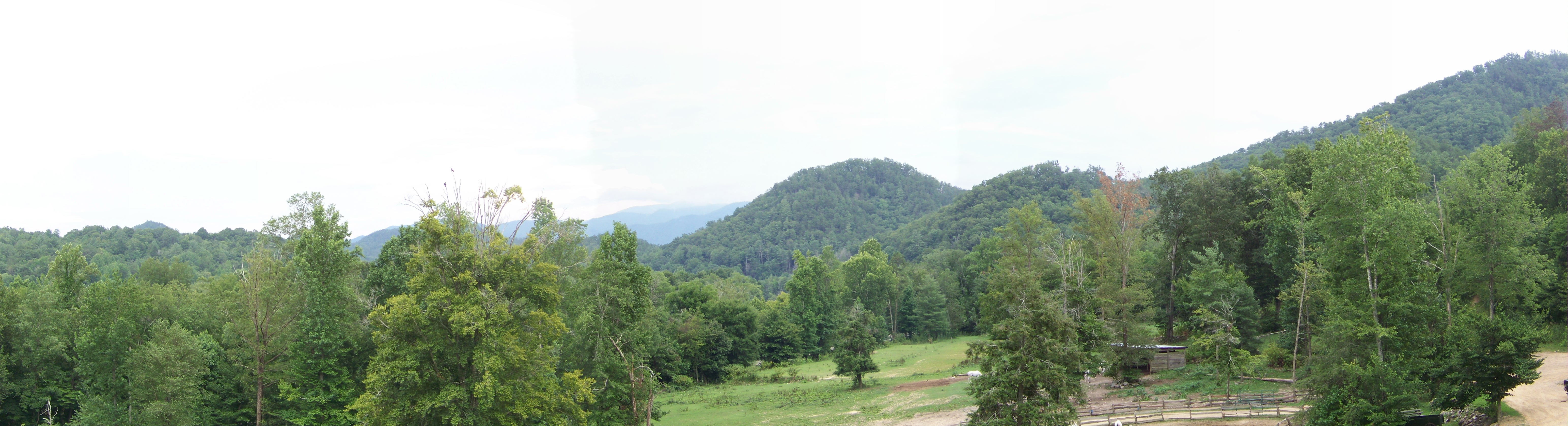
Panorama II

Panorama I
Trail Intersection heading to W4T/SU-073 - Cliffy Benchmark

Train coming around Weaver Bend
Topographic Map of Culbertson Rd, Greeneville, TN, USA
Find elevation by address:

Places near Culbertson Rd, Greeneville, TN, USA:
241 E Stage Coach Rd
505 W Hogan Ln
10 W Hogan Ln
1302 E Stage Coach Rd
6765 Warrensburg Rd
6660 Warrensburg Rd
Pates Hill Rd, Mosheim, TN, USA
3405 Little Chuckey Rd
545 Oven Creek Ln
255 Loftis Rd
Parrottsville, TN, USA
Luther Memorial Road
12315 Warrensburg Rd
245 Wild Rye Ln
1763 Goodwater Rd
Midway
1428 Goodwater Rd
1346 Goodwater Rd
1244 Bruner Grove Rd
1030 Creek Rd
Recent Searches:
- Elevation of SE Heron Loop, Lincoln City, OR, USA
- Elevation of Slanický ostrov, 01 Námestovo, Slovakia
- Elevation of Spaceport America, Co Rd A, Truth or Consequences, NM, USA
- Elevation of Warwick, RI, USA
- Elevation of Fern Rd, Whitmore, CA, USA
- Elevation of 62 Abbey St, Marshfield, MA, USA
- Elevation of Fernwood, Bradenton, FL, USA
- Elevation of Felindre, Swansea SA5 7LU, UK
- Elevation of Leyte Industrial Development Estate, Isabel, Leyte, Philippines
- Elevation of W Granada St, Tampa, FL, USA