Elevation of Loeriesfontein, South Africa
Location: South Africa > Northern Cape > Namakwa > Loeriesfontein >
Longitude: 19.4497084
Latitude: -30.964044
Elevation: 906m / 2972feet
Barometric Pressure: 91KPa
Elevation Map:
Satellite Map:
Related Photos:
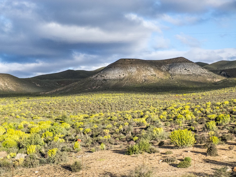
View form bus

(Day 6) Loeriesfontein

(Day 6) Loeriesfontein

(Day 6) Loeriesfontein

(Day 6) Loeriesfontein

(Day 6) Loeriesfontein

(Day 6) Loeriesfontein

(Day 6) Loeriesfontein

(Day 6) Loeriesfontein

(Day 6) Loeriesfontein

(Day 6) Loeriesfontein
Topographic Map of Loeriesfontein, South Africa
Find elevation by address:

Places near Loeriesfontein, South Africa:
Kamdanie R Loeriesfontein Fall
Kamdanierivier
Taaiboskraal
Nieuwoudtville
Nieuwoudtville
Nieuwoudtville
De Pakhuys
Taaiboskraalrivier
West Coast Dc
Lambert's Bay
Recent Searches:
- Elevation of Lust Road, Lust Rd, Florida, USA
- Elevation of Pleasant Valley Rd NW, Adairsville, GA, USA
- Elevation of Općina Šodolovci, Croatia
- Elevation of Šodolovci, Croatia
- Elevation of Old Clairton Rd, Jefferson Hills, PA, USA
- Elevation of st Ave SE, Lisbon, ND, USA
- Elevation of Steamboat Island Road Northwest, Olympia, WA, USA
- Elevation of Kootenai Trail Rd, Bonners Ferry, ID, USA
- Elevation of Hickory Blvd, Bonita Springs, FL, USA
- Elevation of Lalagbene, Bayelsa, Nigeria