Elevation of Taaiboskraal, South Africa
Location: South Africa > Northern Cape > Namakwa > Hantam Municipality >
Longitude: 19.6166667
Latitude: -31.266666
Elevation: 907m / 2976feet
Barometric Pressure: 91KPa
Elevation Map:
Satellite Map:
Related Photos:
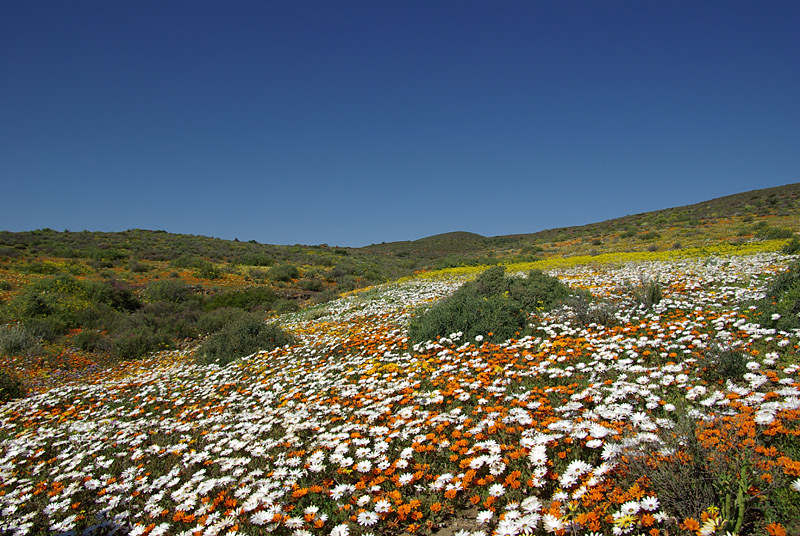
Namaqualand

Namaqualand
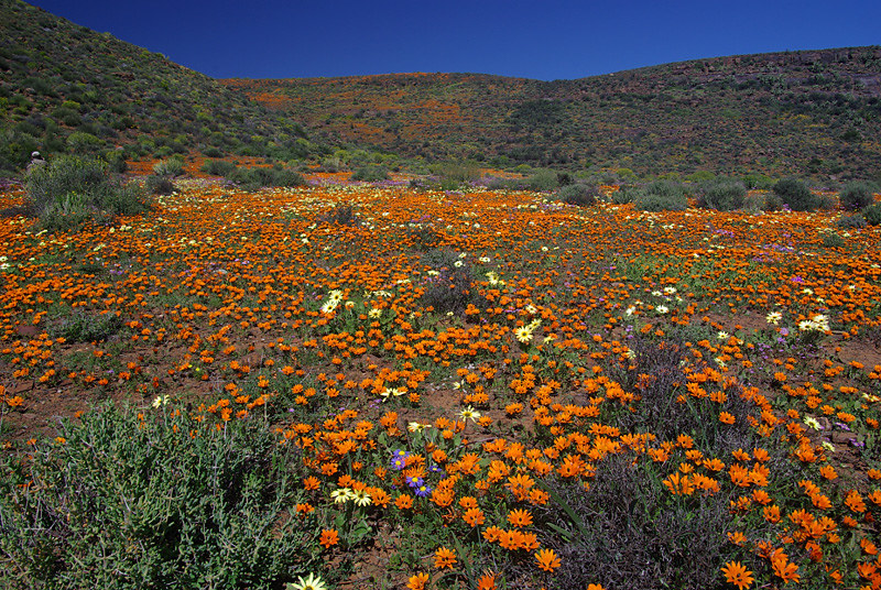
Namaqualand

Gorteria diffusa
Topographic Map of Taaiboskraal, South Africa
Find elevation by address:

Places near Taaiboskraal, South Africa:
Loeriesfontein
Kamdanie R Loeriesfontein Fall
Kamdanierivier
Nieuwoudtville
Nieuwoudtville
Nieuwoudtville
De Pakhuys
Taaiboskraalrivier
West Coast Dc
Lambert's Bay
Recent Searches:
- Elevation of Old Clairton Rd, Jefferson Hills, PA, USA
- Elevation of st Ave SE, Lisbon, ND, USA
- Elevation of Steamboat Island Road Northwest, Olympia, WA, USA
- Elevation of Kootenai Trail Rd, Bonners Ferry, ID, USA
- Elevation of Hickory Blvd, Bonita Springs, FL, USA
- Elevation of Lalagbene, Bayelsa, Nigeria
- Elevation of Ogbosuware Health Centre, 2WWJ+4PJ, Lalagbene, Bayelsa, Nigeria
- Elevation of Duckhorn Ct, Las Vegas, NV, USA
- Elevation of Garretts Run Rd, Ford City, PA, USA
- Elevation of N WI-55, Freedom, WI, USA