Elevation of Loeriesfontein, South Africa
Location: South Africa > Northern Cape > Namakwa >
Longitude: 19.4497084
Latitude: -30.919926
Elevation: 894m / 2933feet
Barometric Pressure: 91KPa
Elevation Map:
Satellite Map:
Related Photos:

(Day 6) Loeriesfontein
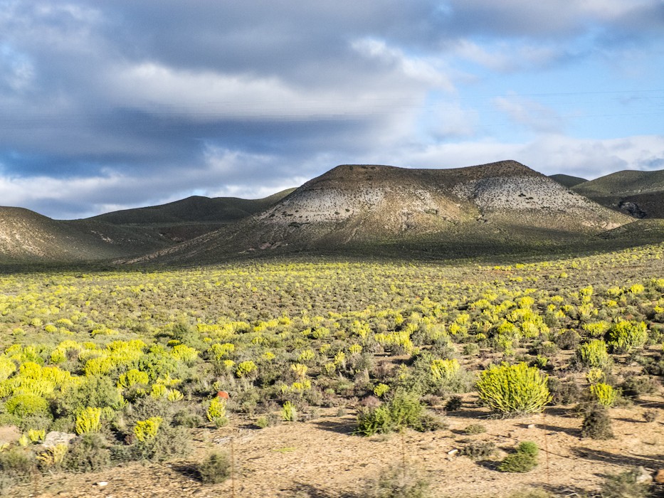
View form bus

(Day 6) Loeriesfontein

(Day 6) Loeriesfontein

(Day 6) Loeriesfontein

(Day 6) Loeriesfontein

(Day 6) Loeriesfontein

(Day 6) Loeriesfontein

(Day 6) Loeriesfontein

(Day 6) Loeriesfontein

(Day 6) Loeriesfontein
Topographic Map of Loeriesfontein, South Africa
Find elevation by address:

Places in Loeriesfontein, South Africa:
Recent Searches:
- Elevation of Mamala II, Sariaya, Quezon, Philippines
- Elevation of Sarangdanda, Nepal
- Elevation of 7 Waterfall Way, Tomball, TX, USA
- Elevation of SW 57th Ave, Portland, OR, USA
- Elevation of Crocker Dr, Vacaville, CA, USA
- Elevation of Pu Ngaol Community Meeting Hall, HWHM+3X7, Krong Saen Monourom, Cambodia
- Elevation of Royal Ontario Museum, Queens Park, Toronto, ON M5S 2C6, Canada
- Elevation of Groblershoop, South Africa
- Elevation of Power Generation Enterprises | Industrial Diesel Generators, Oak Ave, Canyon Country, CA, USA
- Elevation of Chesaw Rd, Oroville, WA, USA