Elevation of Locust Grove, OK, USA
Location: United States > Oklahoma > Mayes County >
Longitude: -95.167740
Latitude: 36.2000936
Elevation: 205m / 673feet
Barometric Pressure: 99KPa
Elevation Map:
Satellite Map:
Related Photos:
DSC01998
DSC01993
Autumn Ripples
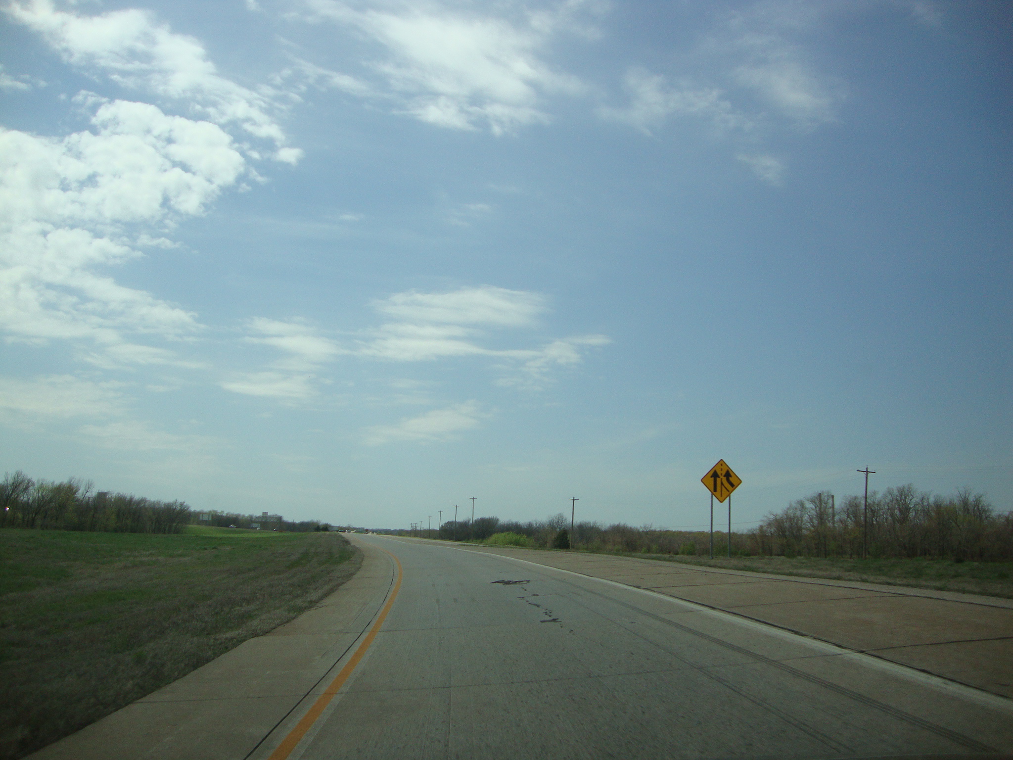
Highway 82 in Fall (Oklahoma)
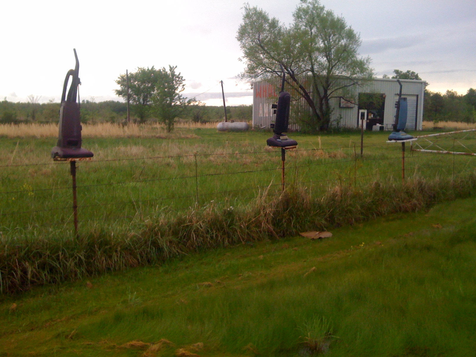
Vacumes? Odd.
Day 142 of 365 Day Challenge

Dry creek bed

Going out on the boat

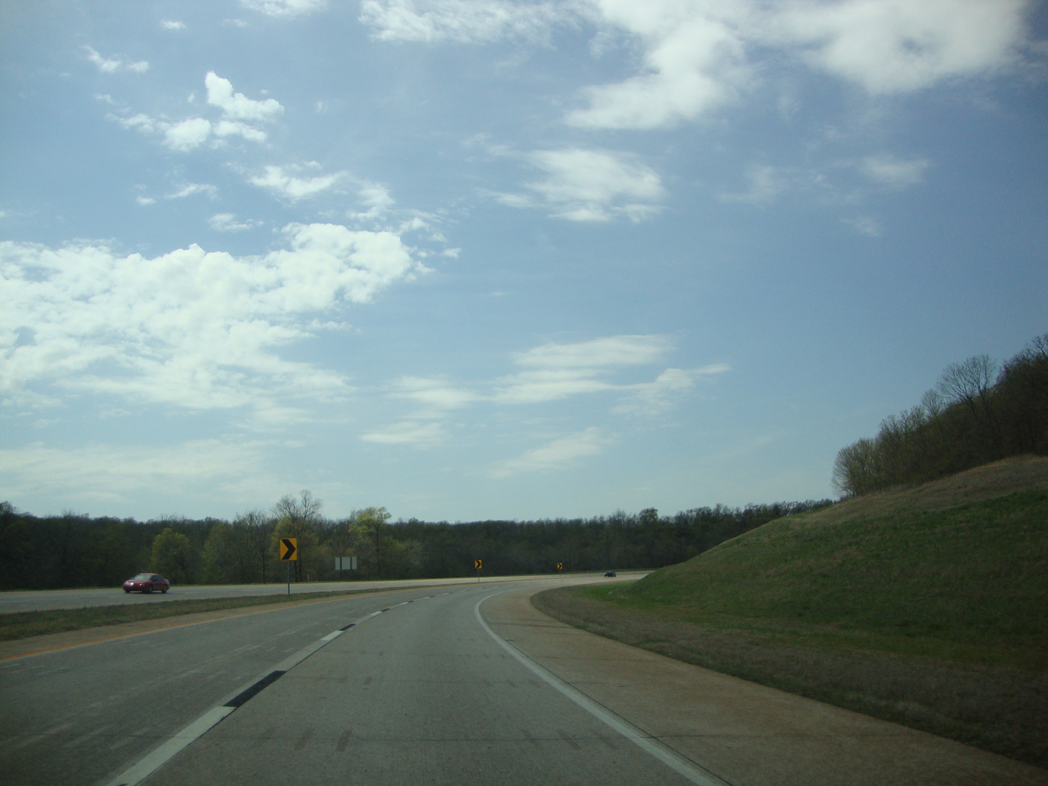
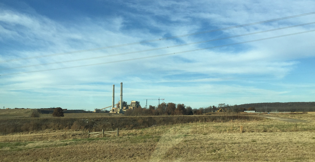
Taken From my car
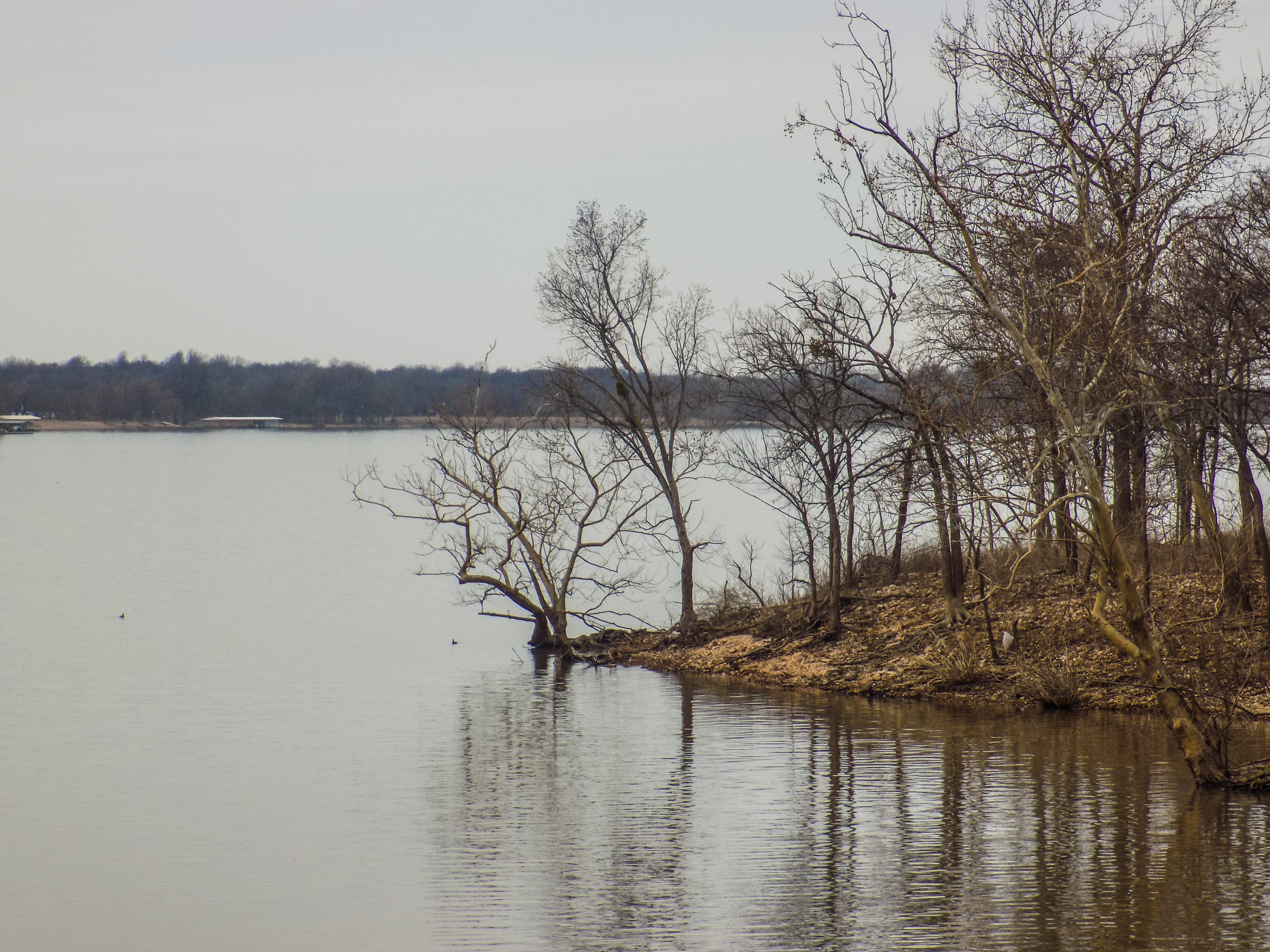
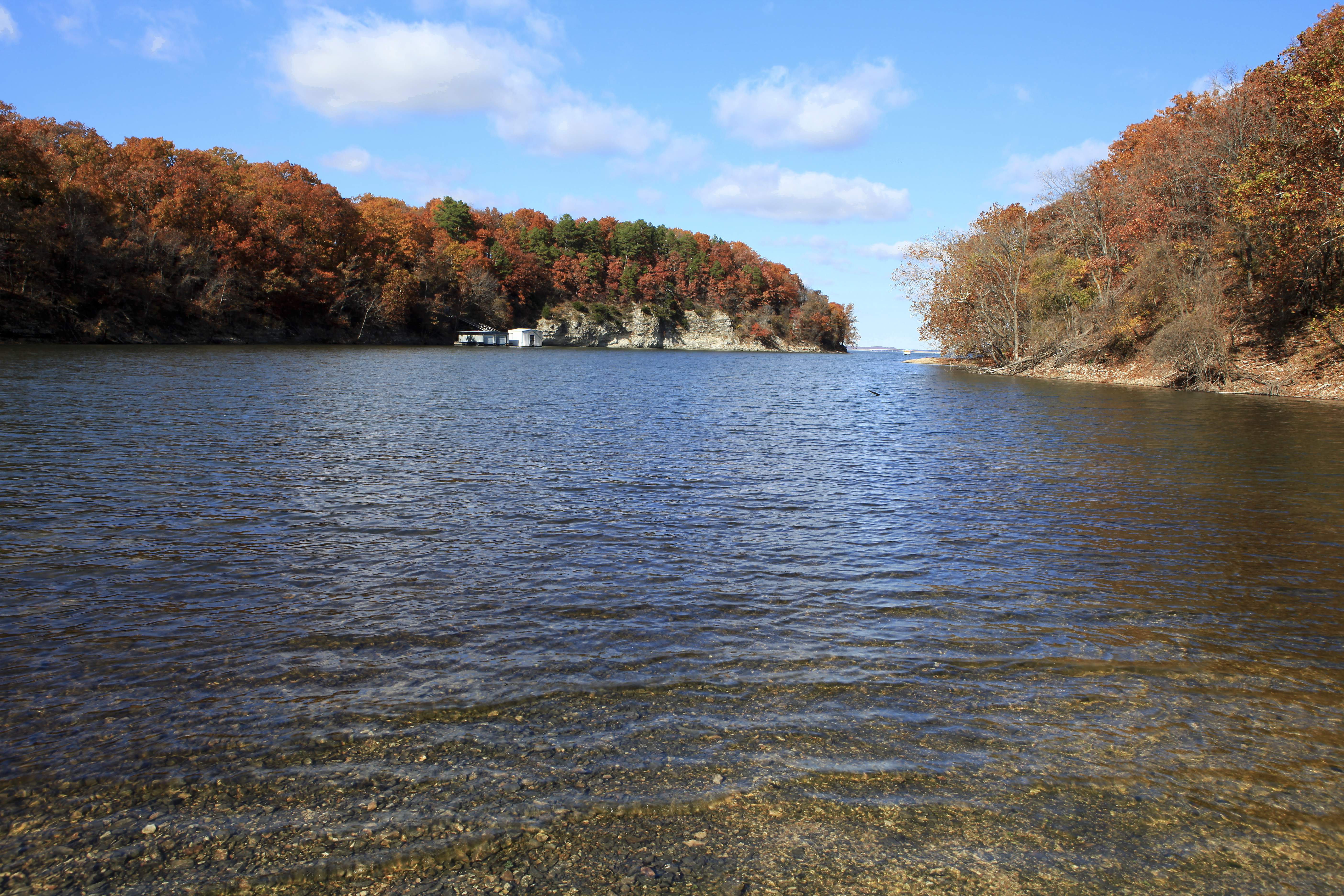
Lake Hudson
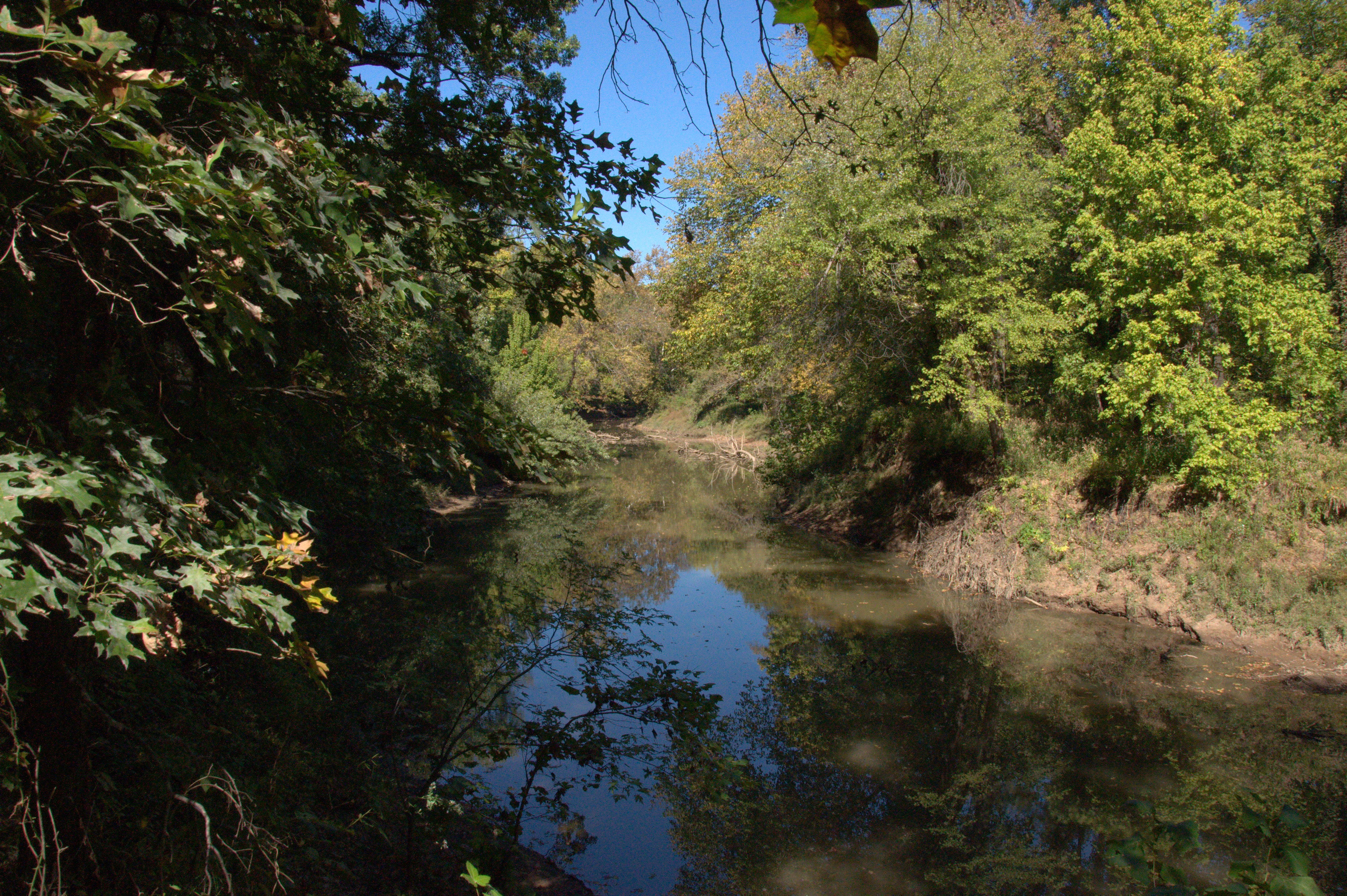
Pryor Creek
Dad's house
Topographic Map of Locust Grove, OK, USA
Find elevation by address:

Places in Locust Grove, OK, USA:
Places near Locust Grove, OK, USA:
Harold Andrews Blvd, Locust Grove, OK, USA
Lake Hudson
Bent Pine Ranch
9275 S 444 Rd
4500 Se 583 Dr
Locust Grove, OK, USA
Pump Back
Salina
5144 Kenwood Rd
1266 Ne 4418
Mayes County
Wallpaper & More
Pryor
12707 N 400 Rd
E Rd, Salina, OK, USA
Grand Lake State Park
70156 S 339 Pl
Adair
Old Eucha
Hulbert
Recent Searches:
- Elevation of Redondo Ave, Long Beach, CA, USA
- Elevation of Sadovaya Ulitsa, 20, Rezh, Sverdlovskaya oblast', Russia
- Elevation of Ulitsa Kalinina, 79, Rezh, Sverdlovskaya oblast', Russia
- Elevation of 72-31 Metropolitan Ave, Middle Village, NY, USA
- Elevation of 76 Metropolitan Ave, Brooklyn, NY, USA
- Elevation of Alisal Rd, Solvang, CA, USA
- Elevation of Vista Blvd, Sparks, NV, USA
- Elevation of 15th Ave SE, St. Petersburg, FL, USA
- Elevation of Beall Road, Beall Rd, Florida, USA
- Elevation of Leguwa, Nepal