Elevation of Adair, OK, USA
Location: United States > Oklahoma > Mayes County >
Longitude: -95.271358
Latitude: 36.4367575
Elevation: 208m / 682feet
Barometric Pressure: 99KPa
Elevation Map:
Satellite Map:
Related Photos:

Road Trip: Totem Pole Park

Road Trip: Totem Pole Park

Road Trip: Totem Pole Park

Road Trip: Totem Pole Park

Road Trip: Totem Pole Park

Tonight's Sunset - Cattails (unedited)
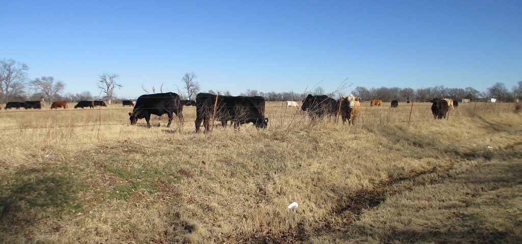
Northeastern Oklahoma Ranch (Mayes County, Oklahoma)

Northeastern Oklahoma Ranch (Mayes County, Oklahoma)

#sunsetview #oklahoma #okwx

Tornado Bait

Been so long since i have been here! #sunsetview #Oklahoma #okwx

IMG_1734.JPG
Topographic Map of Adair, OK, USA
Find elevation by address:

Places near Adair, OK, USA:
Abbott Kennels/abbott Labradors
Pryor
Wallpaper & More
Cabin Creek Battlefield
Salina
1266 Ne 4418
Northeast Tech - Pryor Campus
Mayes County
Lake Hudson
Langley
Grand Lake State Park
Pump Back
5144 Kenwood Rd
OK-20, Claremore, OK, USA
Andy Payne Blvd, Claremore, OK, USA
Foyil
Mooneys Sunset Bar & Grill 21 And Over Only
Grand Lake Towne
Harold Andrews Blvd, Locust Grove, OK, USA
Locust Grove
Recent Searches:
- Elevation of Congressional Dr, Stevensville, MD, USA
- Elevation of Bellview Rd, McLean, VA, USA
- Elevation of Stage Island Rd, Chatham, MA, USA
- Elevation of Shibuya Scramble Crossing, 21 Udagawacho, Shibuya City, Tokyo -, Japan
- Elevation of Jadagoniai, Kaunas District Municipality, Lithuania
- Elevation of Pagonija rock, Kranto 7-oji g. 8"N, Kaunas, Lithuania
- Elevation of Co Rd 87, Jamestown, CO, USA
- Elevation of Tenjo, Cundinamarca, Colombia
- Elevation of Côte-des-Neiges, Montreal, QC H4A 3J6, Canada
- Elevation of Bobcat Dr, Helena, MT, USA