Elevation of Pump Back, OK, USA
Location: United States > Oklahoma > Mayes County >
Longitude: -95.117150
Latitude: 36.267693
Elevation: 200m / 656feet
Barometric Pressure: 99KPa
Elevation Map:
Satellite Map:
Related Photos:
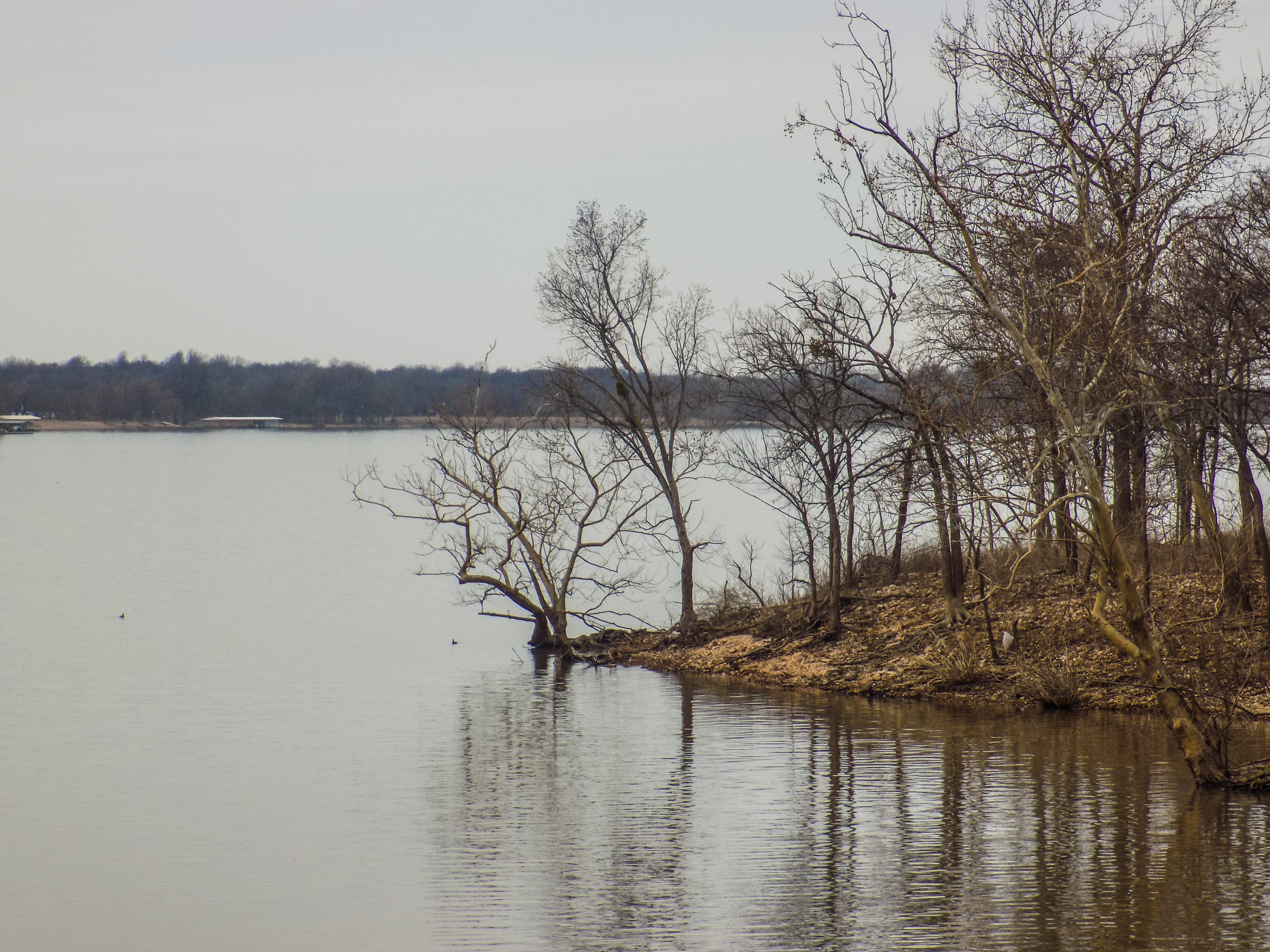
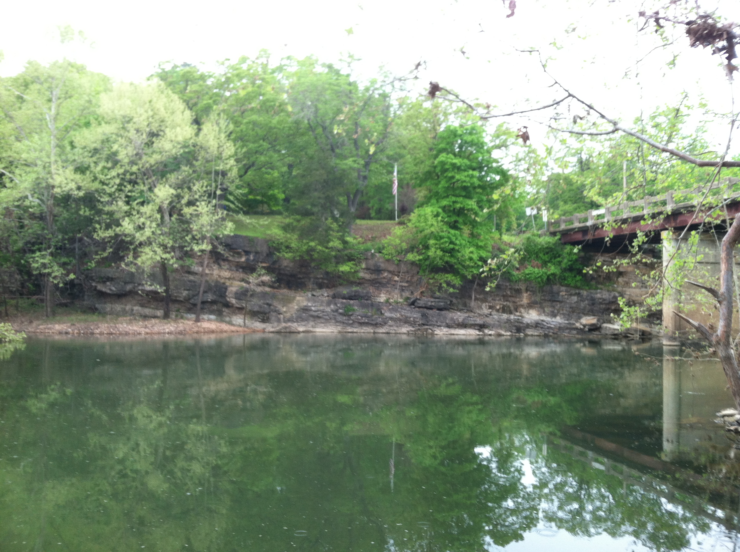
Spavinaw Creek
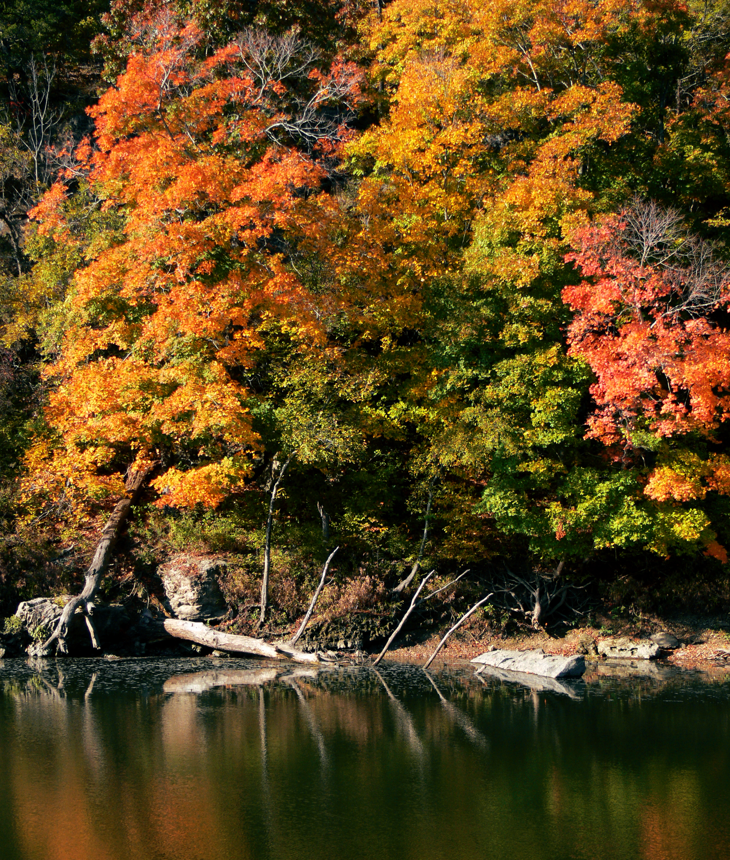
Autumn Ripples

Dry creek bed
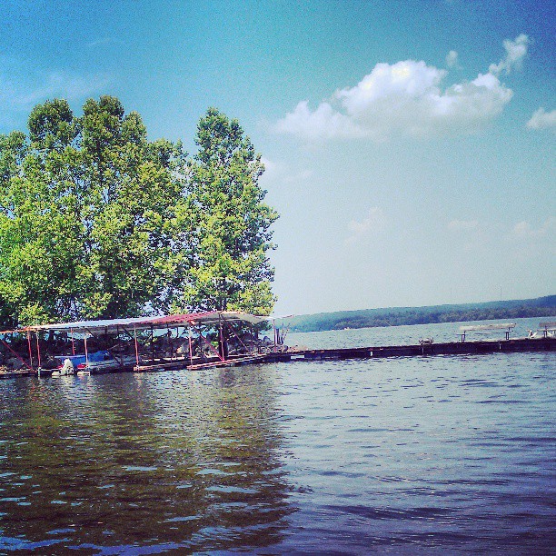
Going out on the boat

Taken From my car
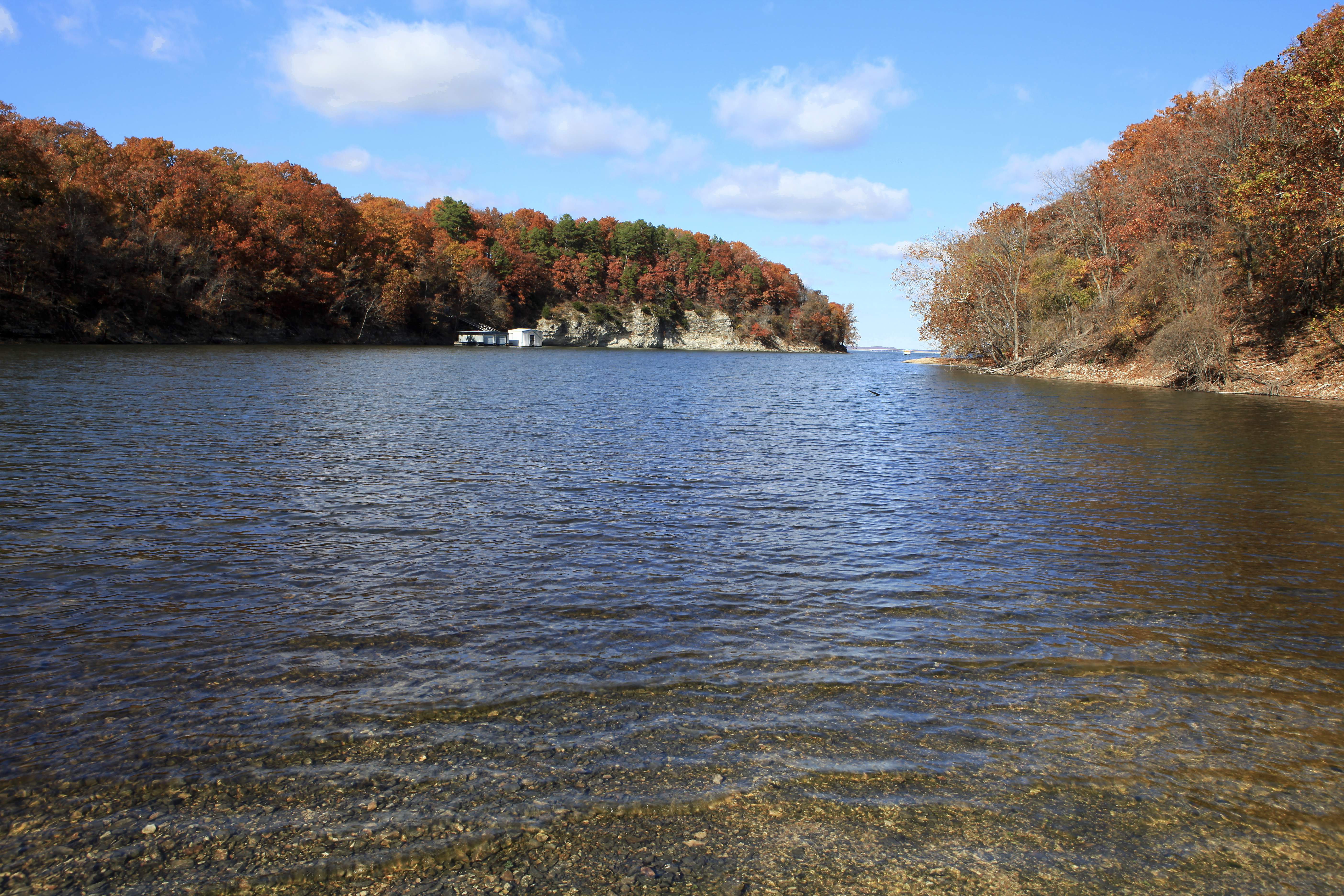
Lake Hudson
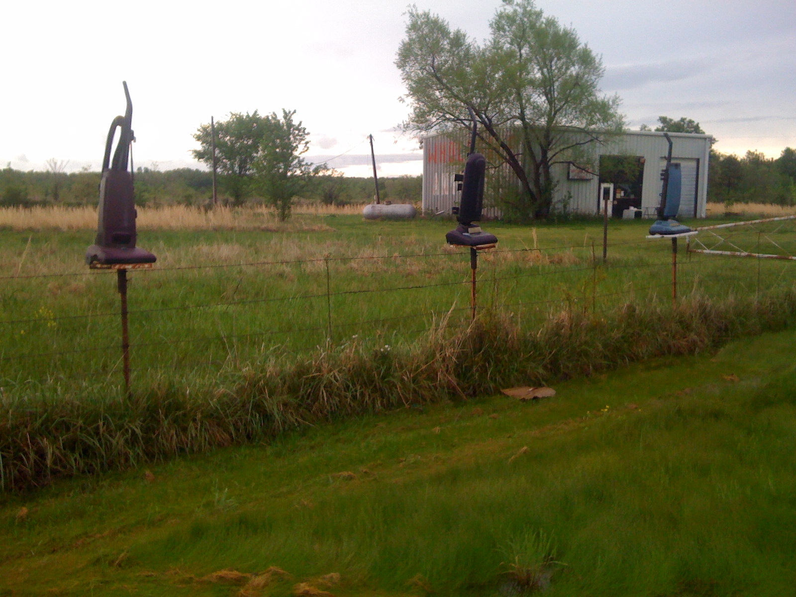
Vacumes? Odd.
Dipping beds near Spavinaw Granite
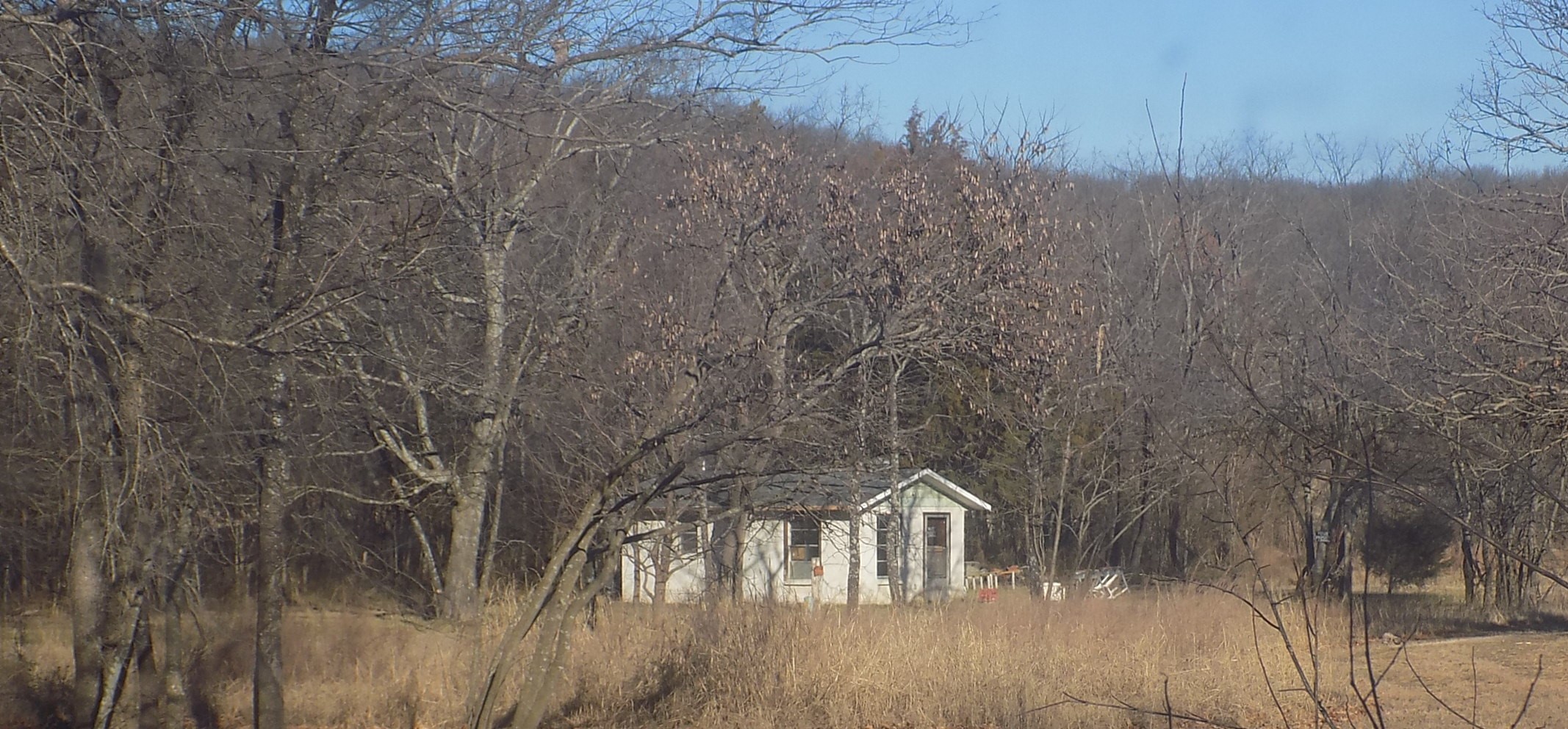
Dad's house

Spavinaw Dam Spillway
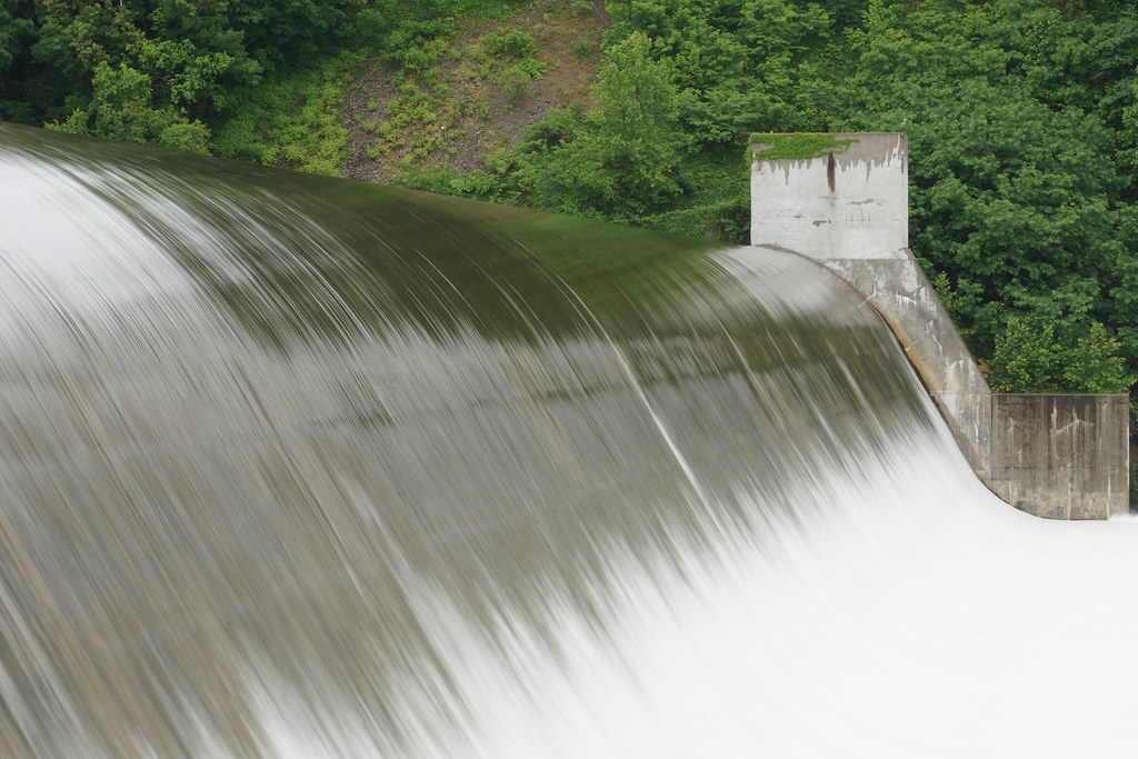
Spavinaw Spillway, OK
IMG_1734.JPG
Topographic Map of Pump Back, OK, USA
Find elevation by address:

Places near Pump Back, OK, USA:
5144 Kenwood Rd
Lake Hudson
1266 Ne 4418
Salina
4500 Se 583 Dr
Locust Grove
Harold Andrews Blvd, Locust Grove, OK, USA
9275 S 444 Rd
Bent Pine Ranch
Grand Lake State Park
E Rd, Salina, OK, USA
Locust Grove, OK, USA
Old Eucha
Mayes County
Spring Valley Ranch
County Rd, Eucha, OK, USA
Pryor
Wallpaper & More
Langley
Cabin Creek Battlefield
Recent Searches:
- Elevation of Congressional Dr, Stevensville, MD, USA
- Elevation of Bellview Rd, McLean, VA, USA
- Elevation of Stage Island Rd, Chatham, MA, USA
- Elevation of Shibuya Scramble Crossing, 21 Udagawacho, Shibuya City, Tokyo -, Japan
- Elevation of Jadagoniai, Kaunas District Municipality, Lithuania
- Elevation of Pagonija rock, Kranto 7-oji g. 8"N, Kaunas, Lithuania
- Elevation of Co Rd 87, Jamestown, CO, USA
- Elevation of Tenjo, Cundinamarca, Colombia
- Elevation of Côte-des-Neiges, Montreal, QC H4A 3J6, Canada
- Elevation of Bobcat Dr, Helena, MT, USA