Elevation of Linkwood, MD, USA
Location: United States > Maryland > Dorchester County > 14, Linkwood >
Longitude: -75.946047
Latitude: 38.5398398
Elevation: 6m / 20feet
Barometric Pressure: 101KPa
Elevation Map:
Satellite Map:
Related Photos:
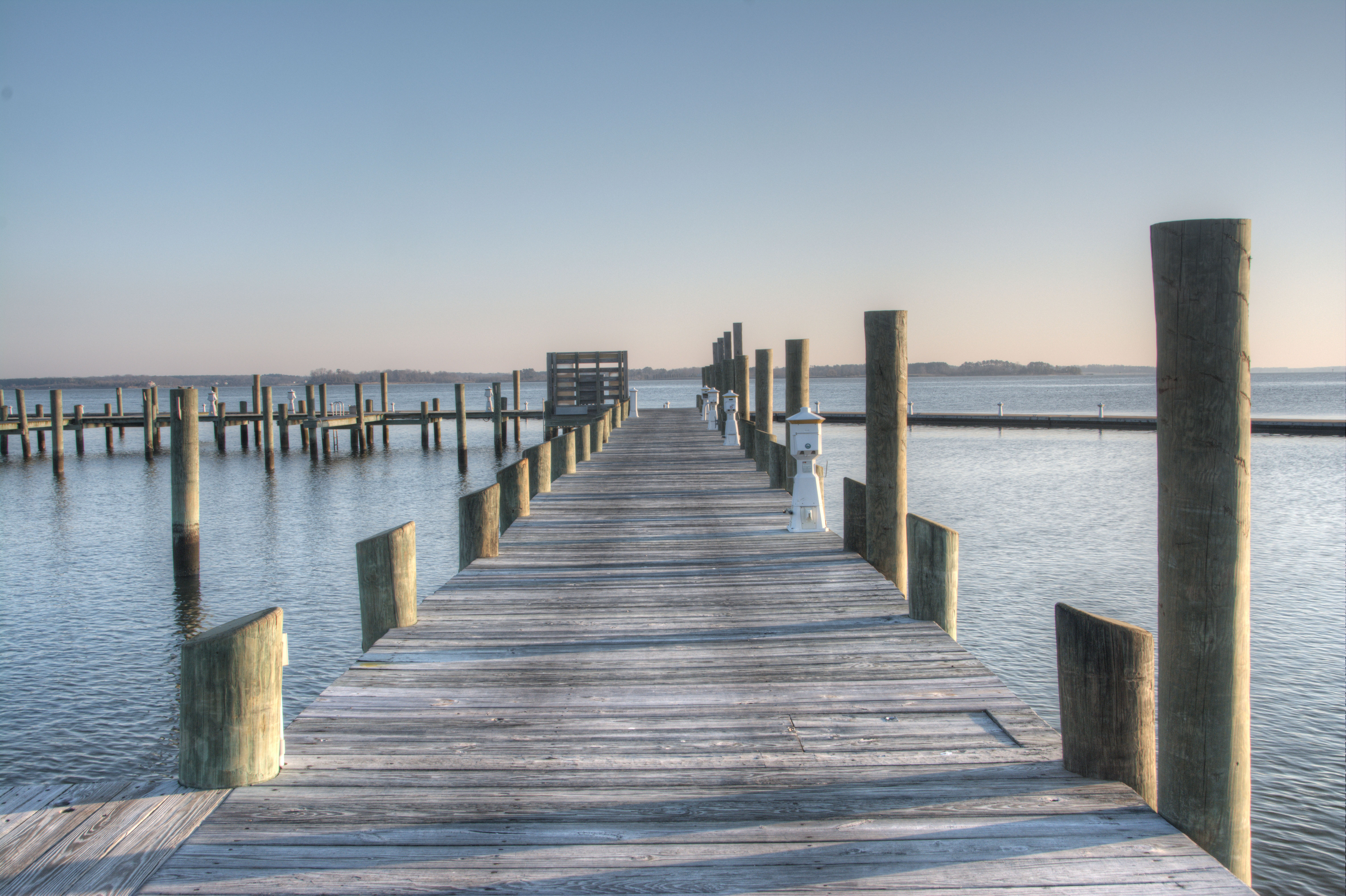
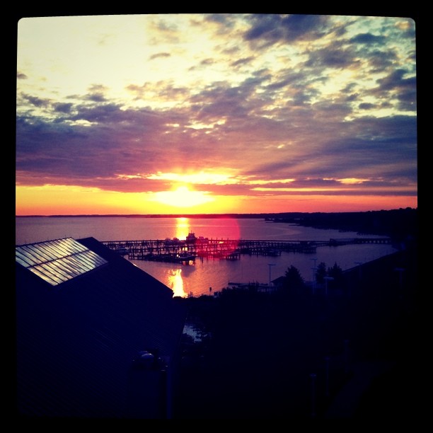
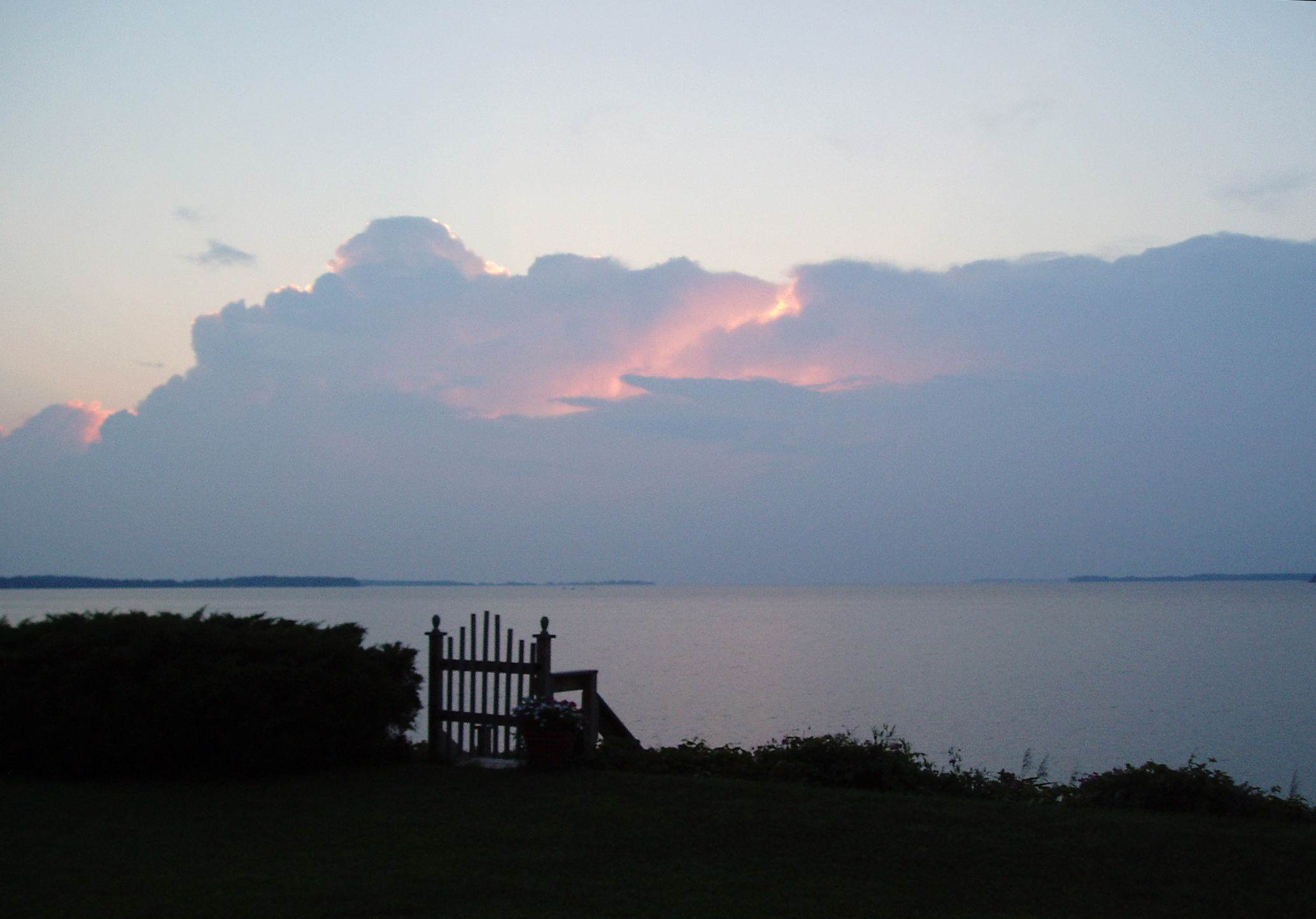
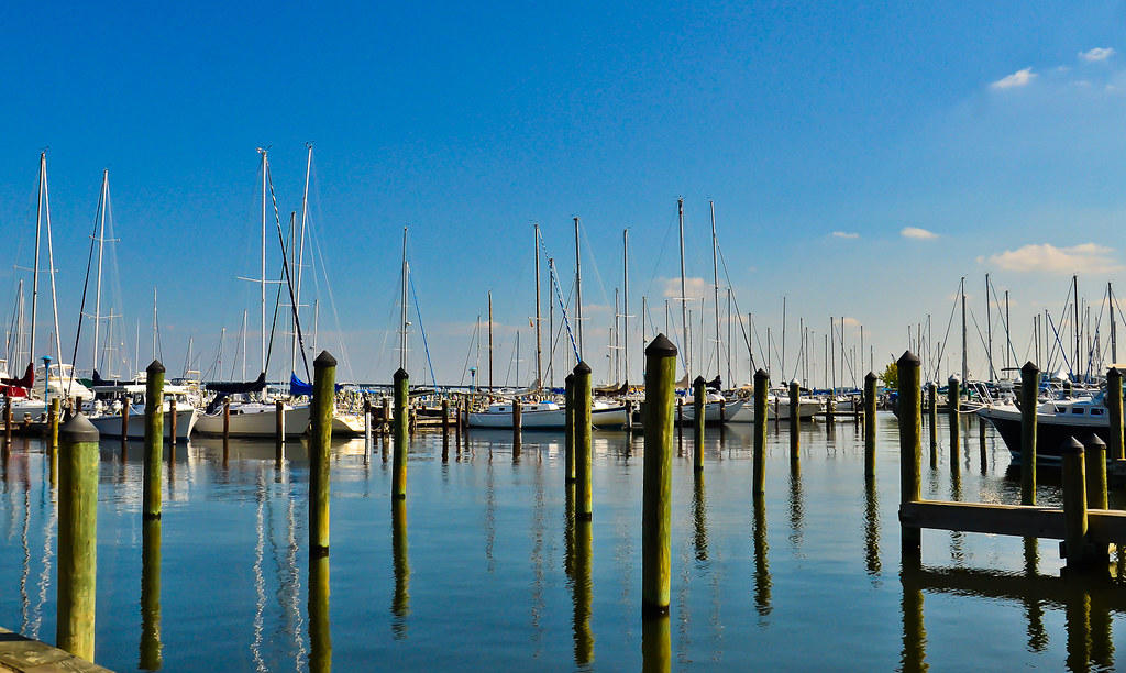
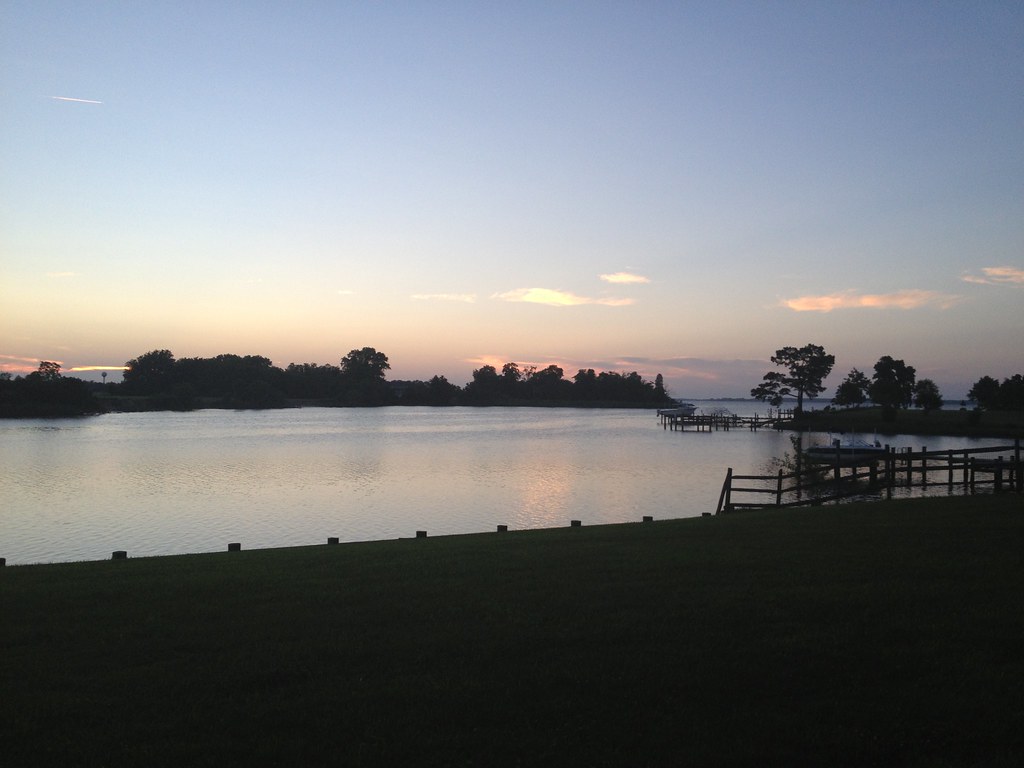
Chesapeake View
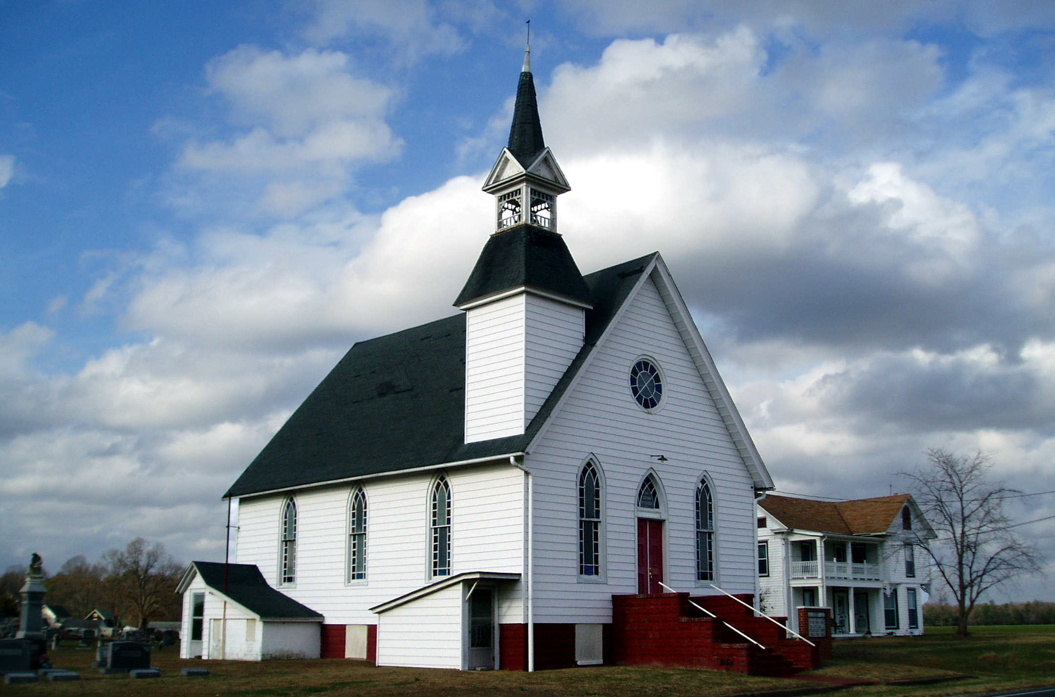
Eldorado U.M. Church

Hyatt Chesapeake Golf Course
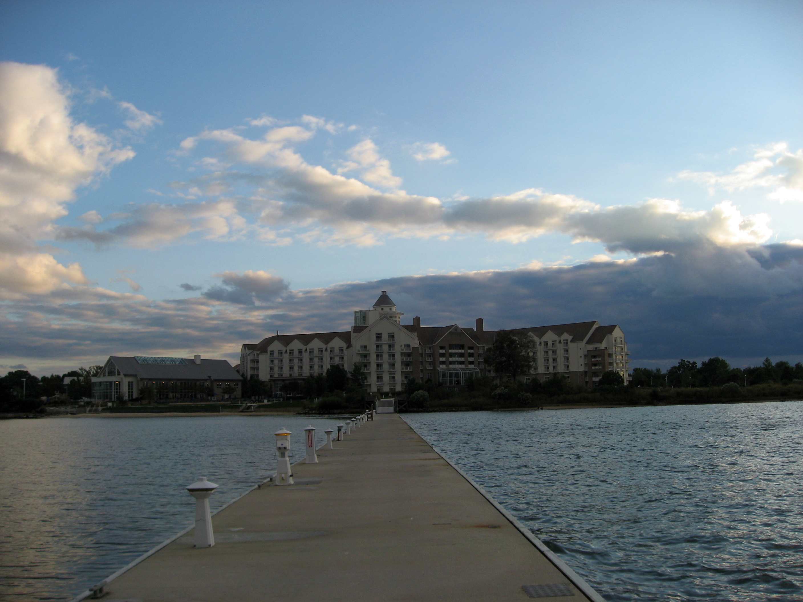
Hyatt Regency Chesapeake Bay
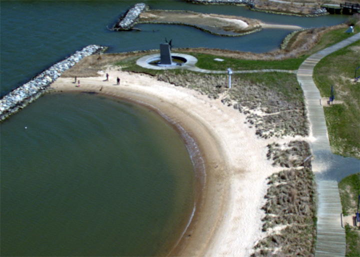
Bird's Eye View
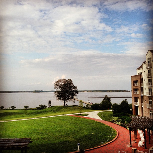
View from my room

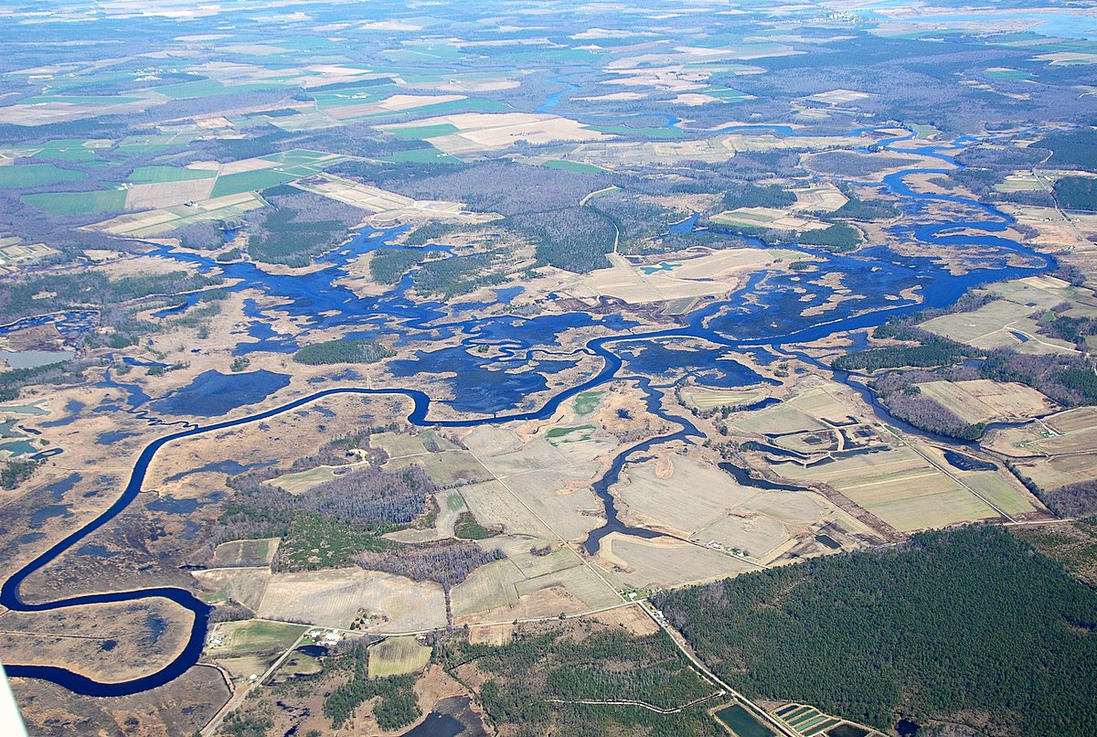
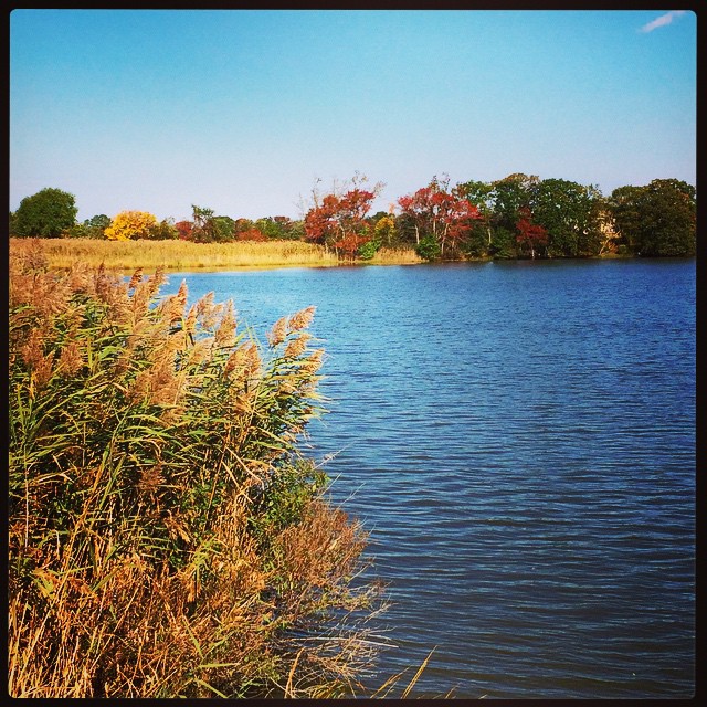
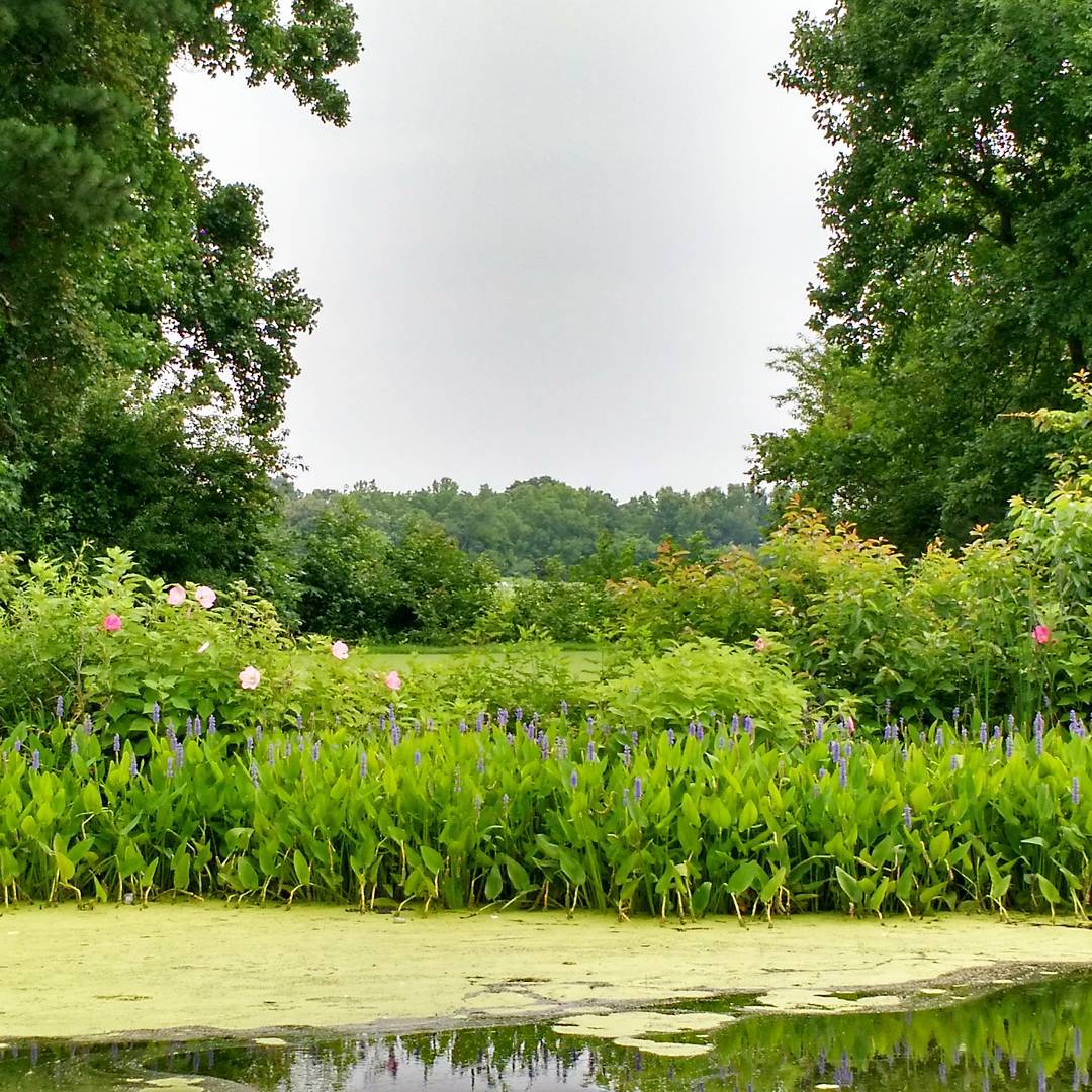
Nanticoke River Wetlands
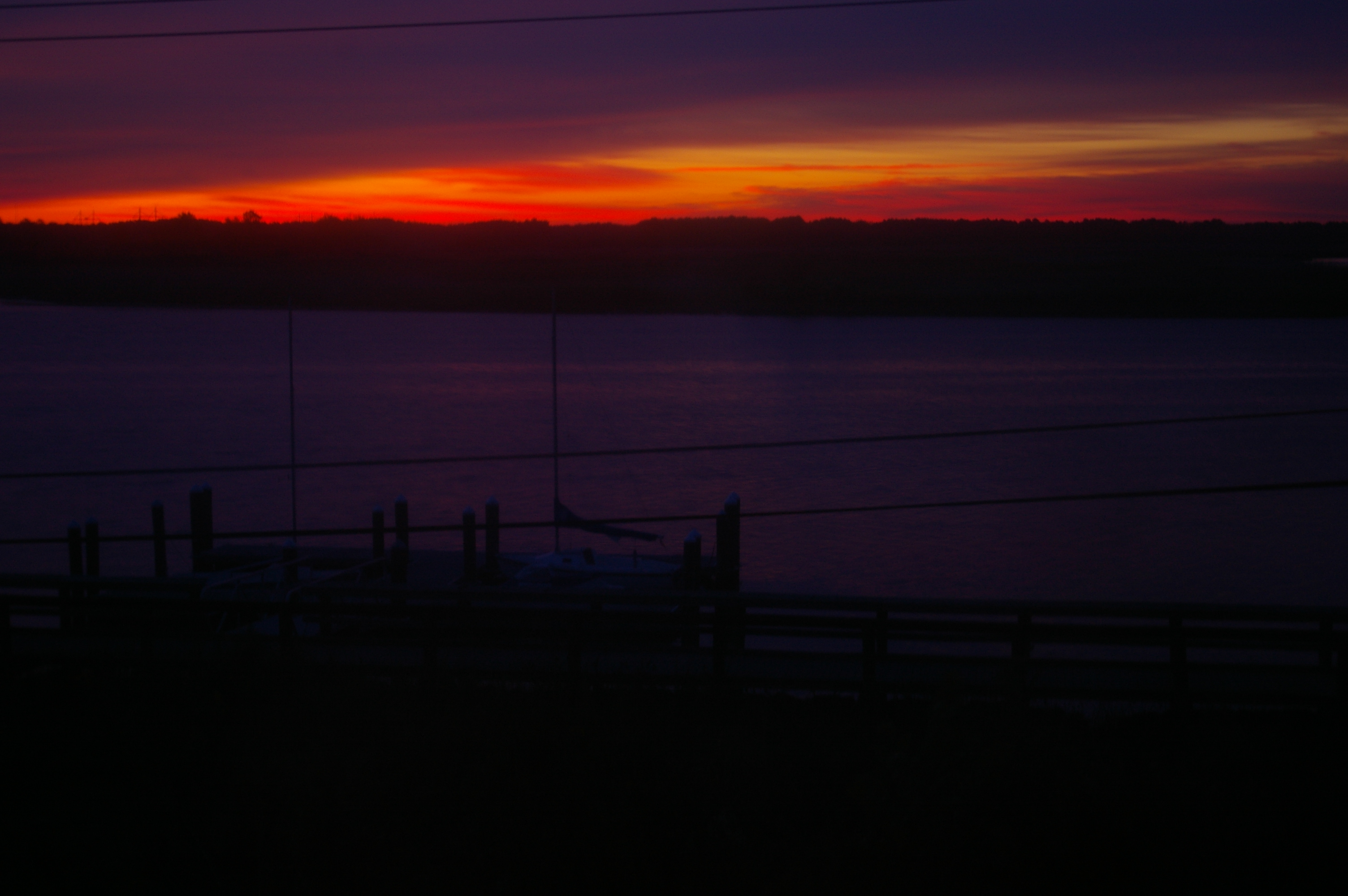
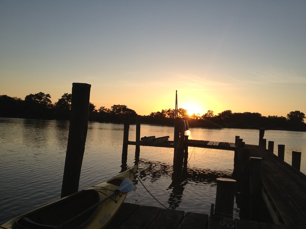
Sunrise Over the Nanticoke 1

Chesapeak bay Hyatt

Pool View
Room with a view - at ACT/IAC's #MOC2013 - looking forward to moderating panels Monday
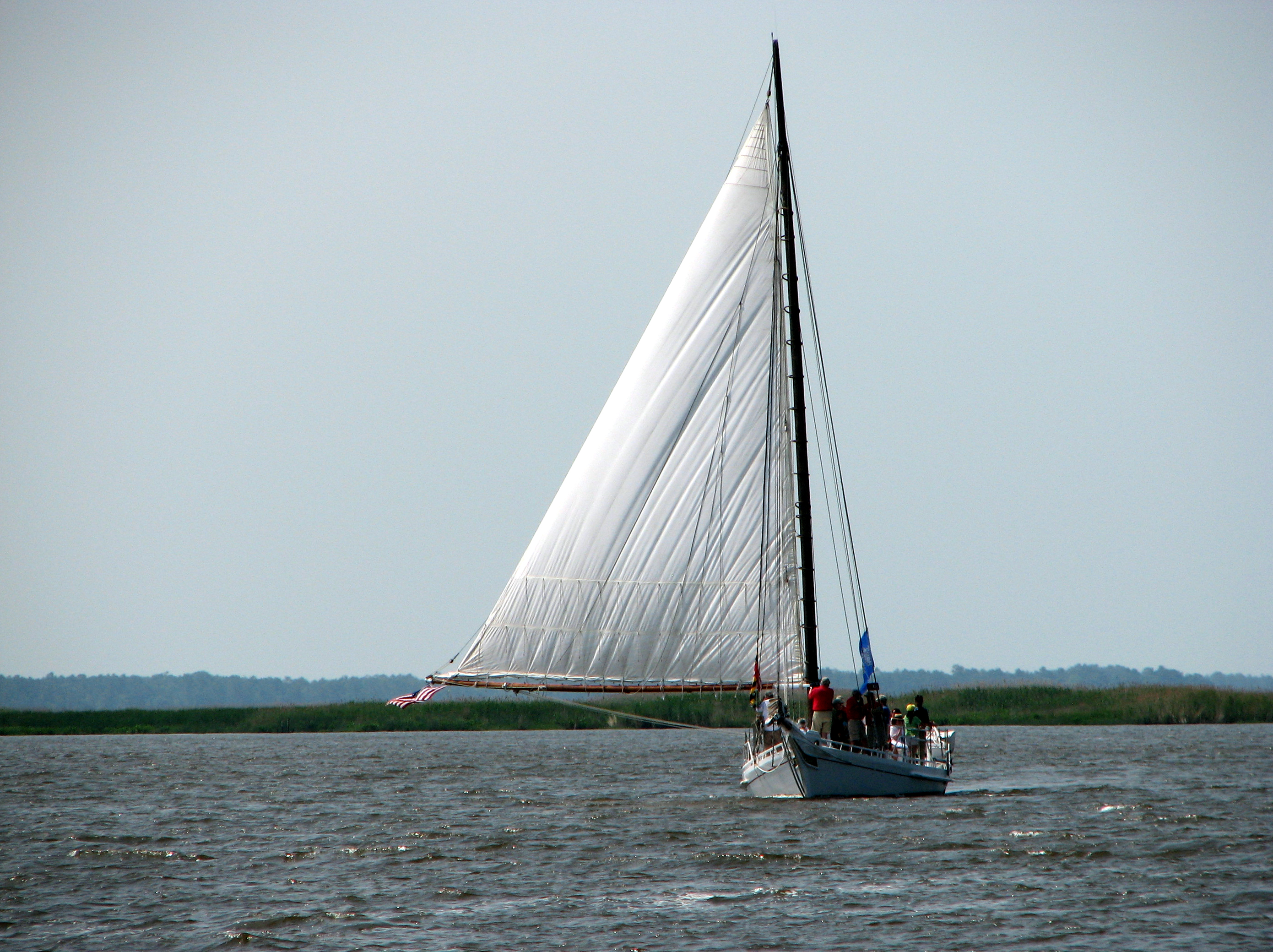
The Skipjack "Nathan of Dorchester"
Clouds over the Choptank
Sailwinds Park, Cambridge, MD - 06

How To Make A Flint Knife Edge
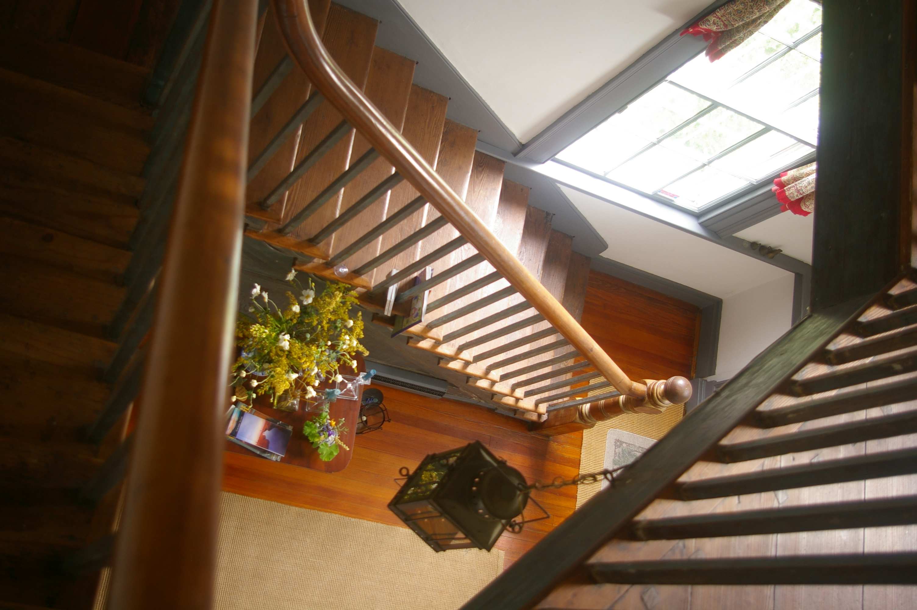
View Down the Stairs
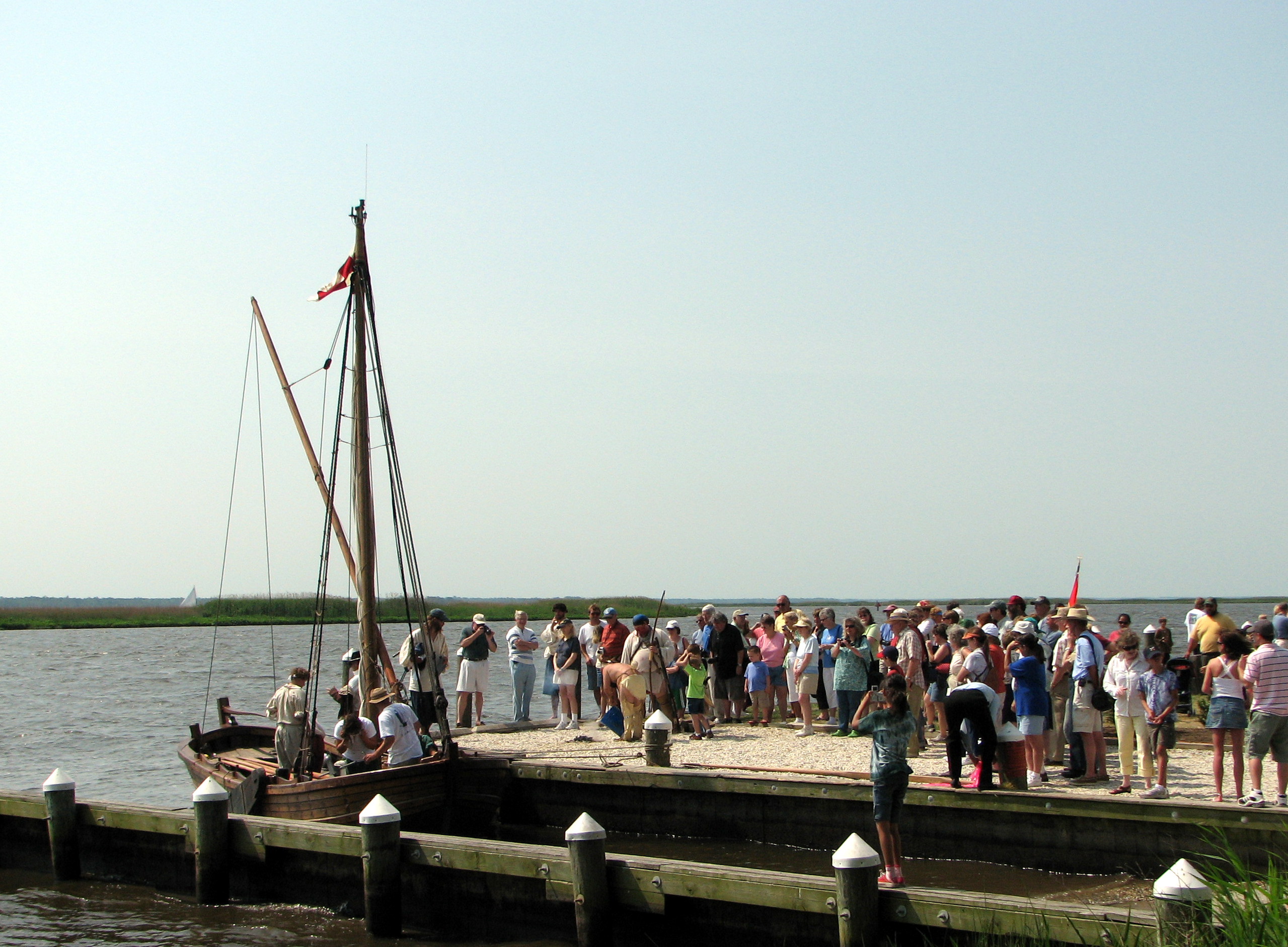
Checking Out The Shallop
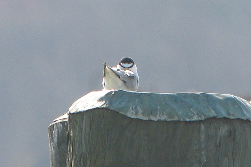
Least Tern
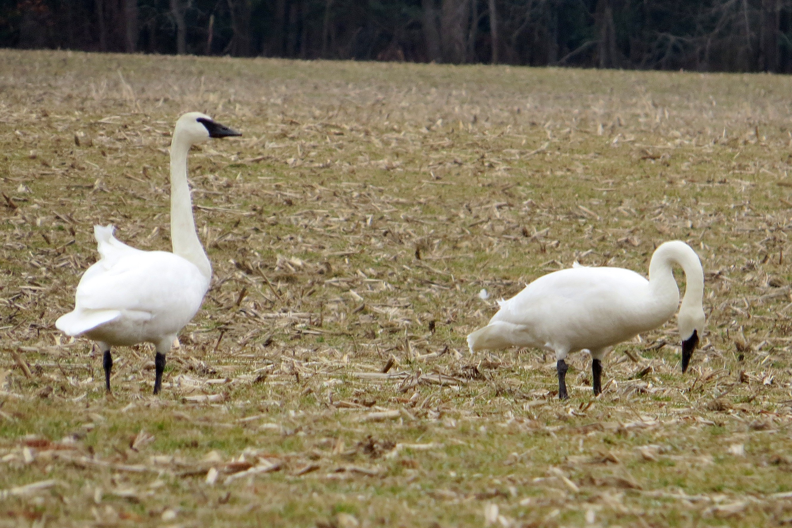
Trumpeter Swan
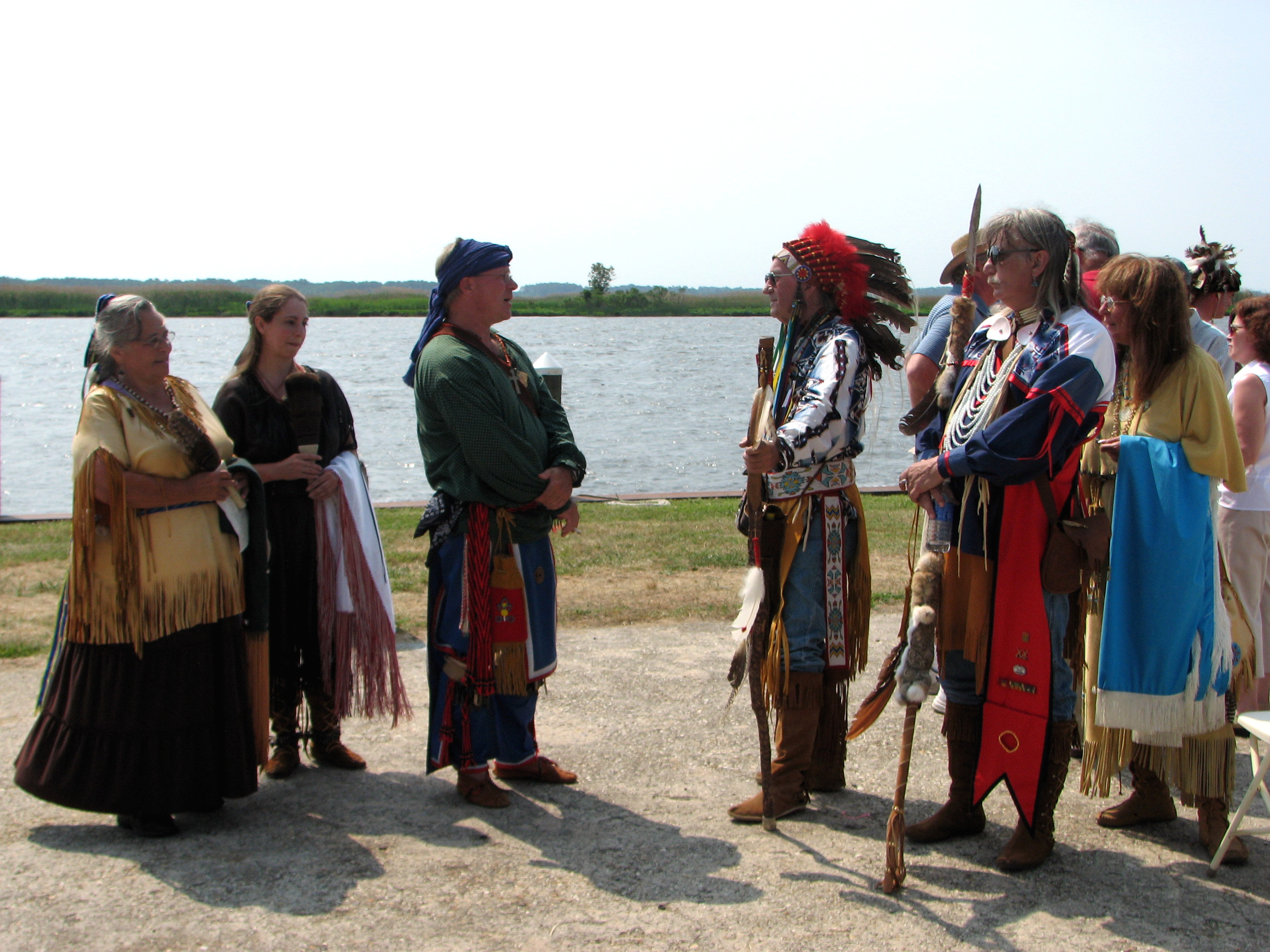
The People Who Greeted Captain John Smith
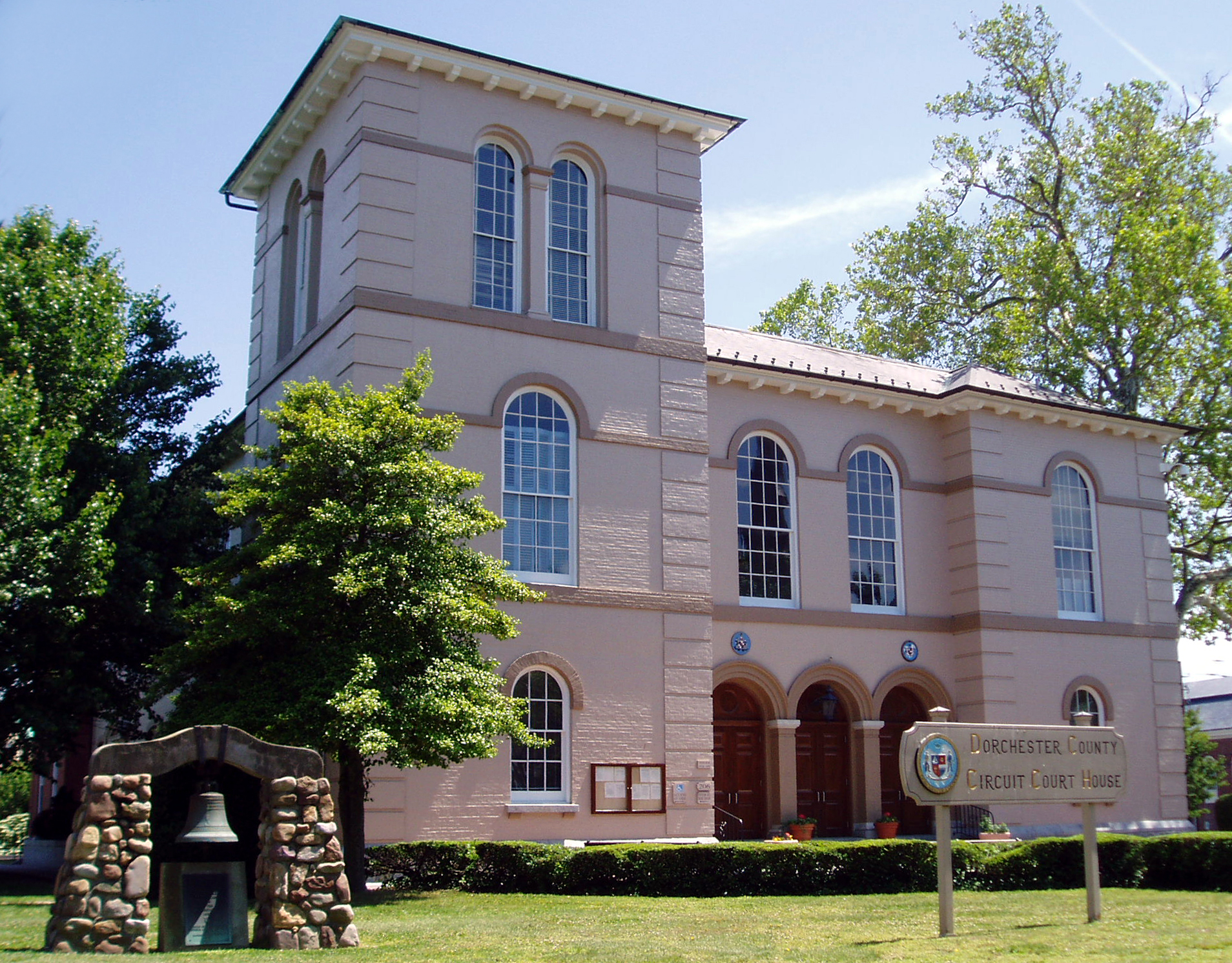
Dorchester County Courthouse
Trying the fishing out in Maryland. #nobites
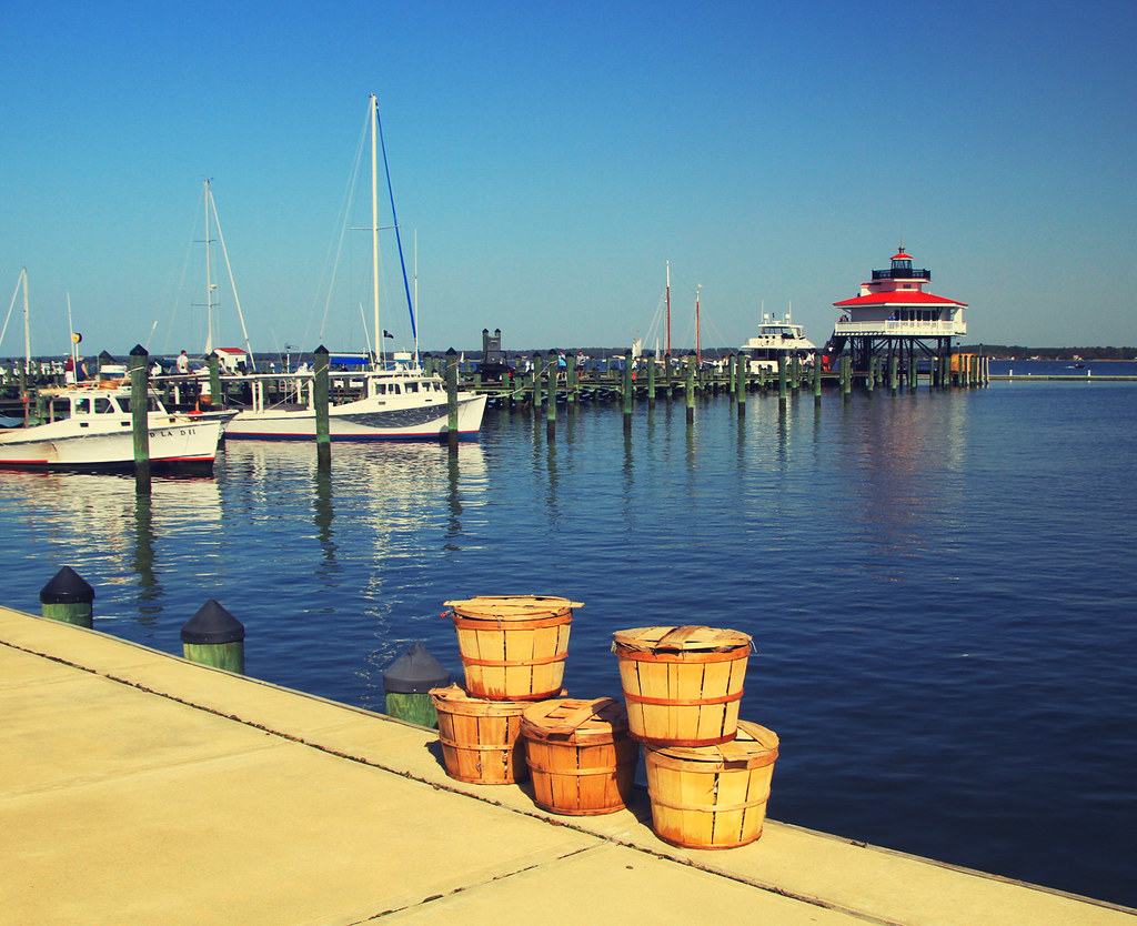
Crab Baskets at the Choptank River Lighthouse
05024 Choptank Sunset
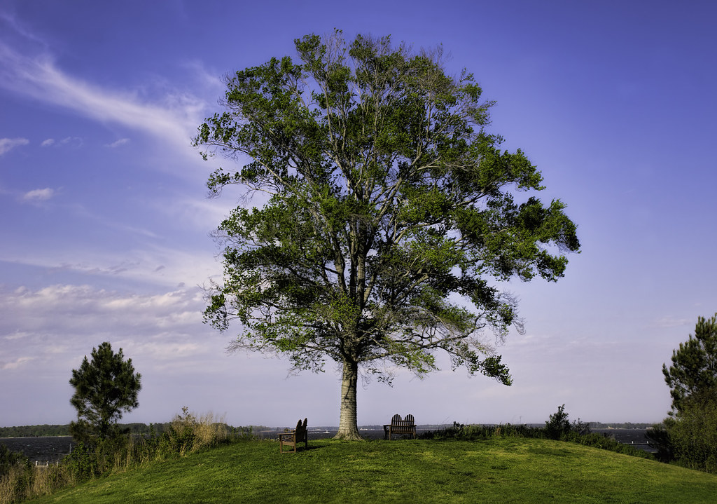
A Tree By the River

Off to sea
ES-21

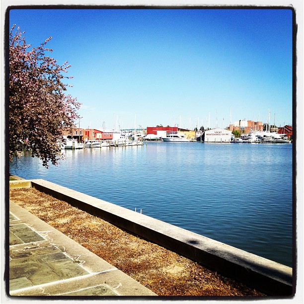
Cambridge, Maryland
Cambridge Maryland

Sunrise over the bay, Blackwater National Wildlife Refuge
A beautiful day on the Creek
A little Giverny in the Chesapeake. #vacation #family #summertime

Harriet Tubman Underground Railroad Byway
2013-07-06 20.17.17
2013-07-06 20.17.30
04997 Choptank River Bridge - Sunset
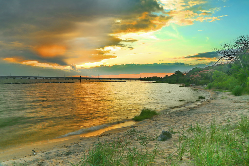
05036 Z Choptank River Beach - sunset
2013-07-04 20.33.05
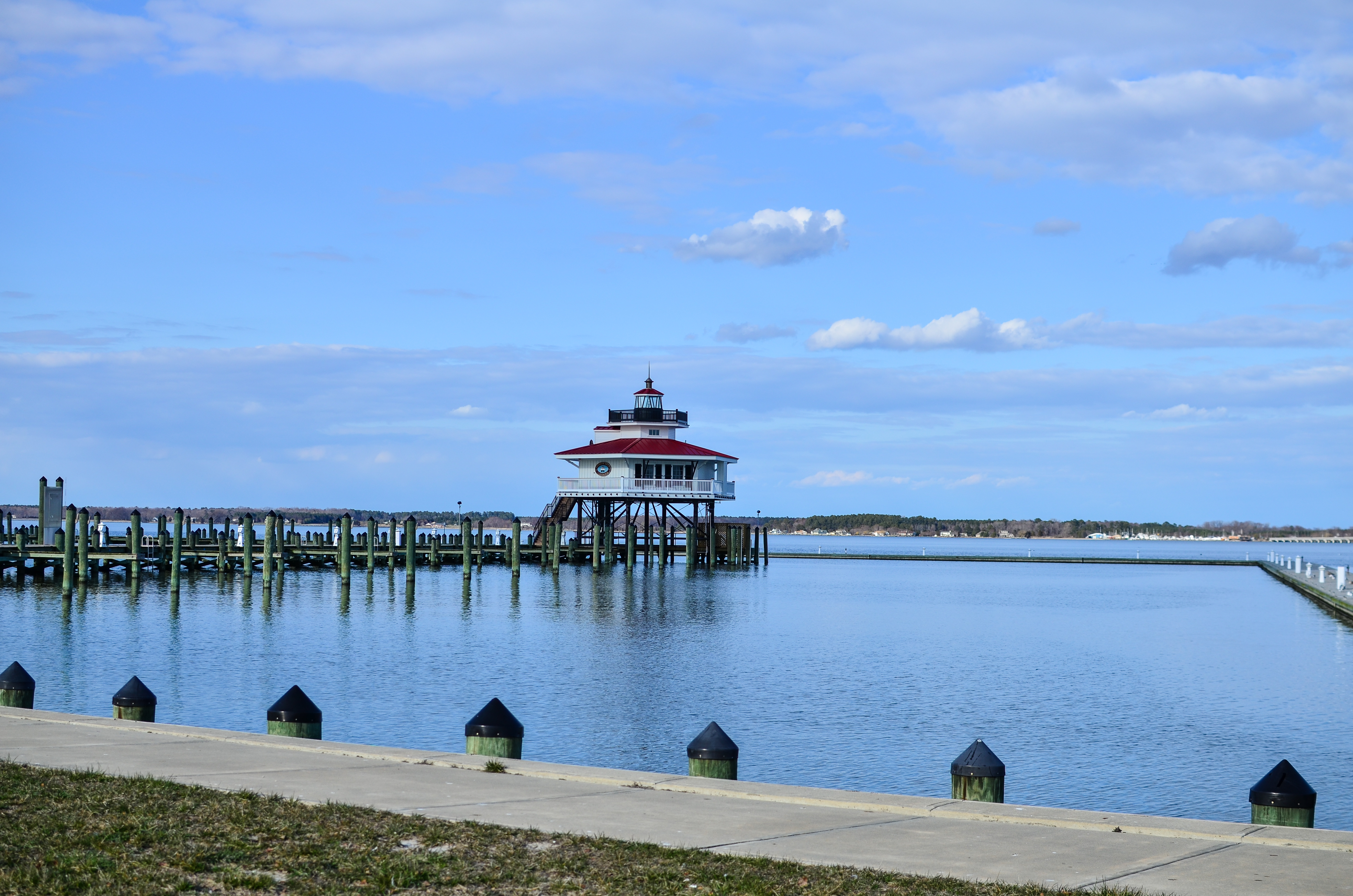
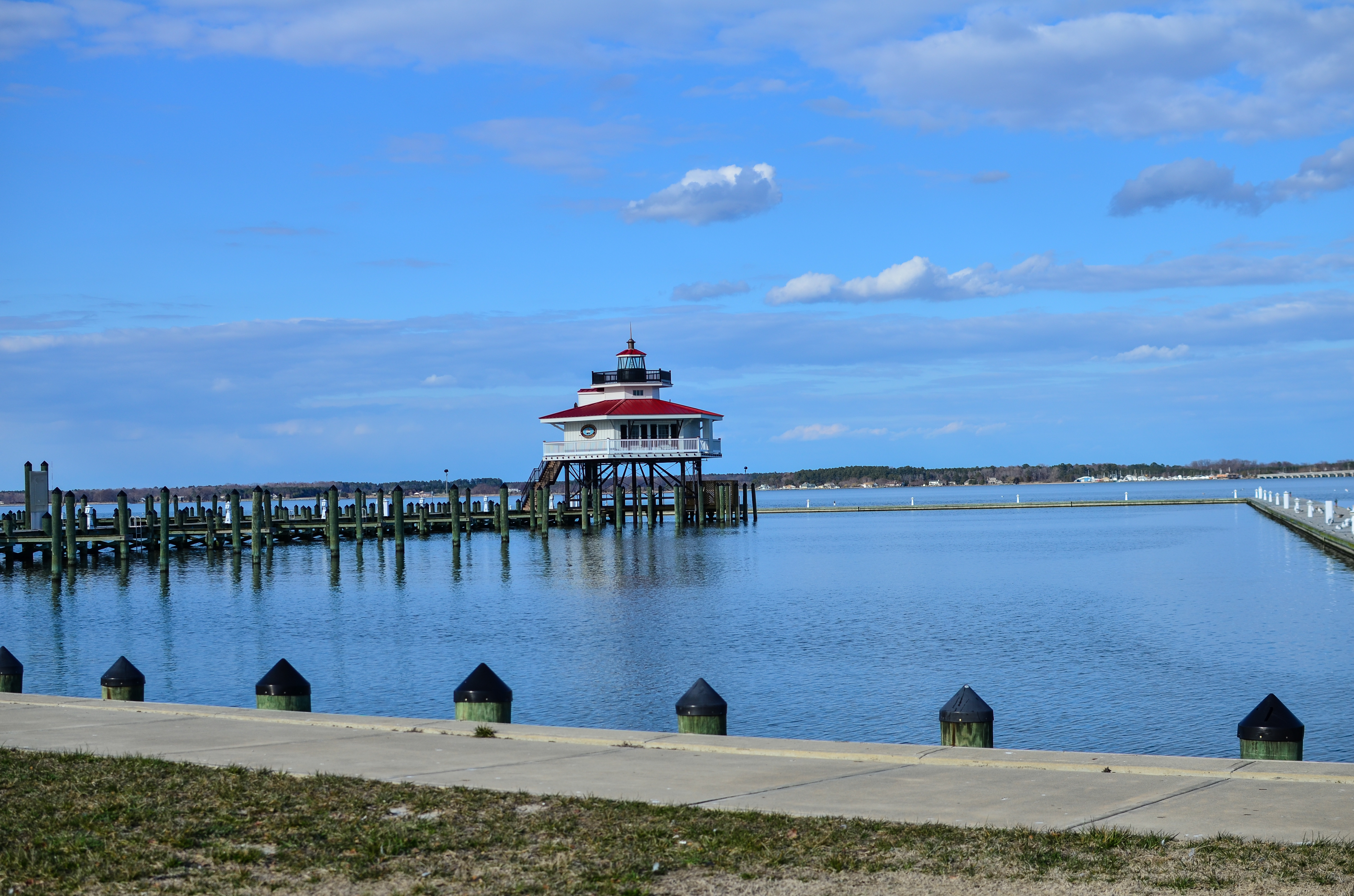
Choptank River Lighthouse
2013-07-06 20.17.06
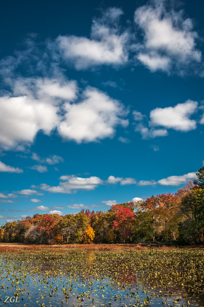
Big Mill Pond, Fall
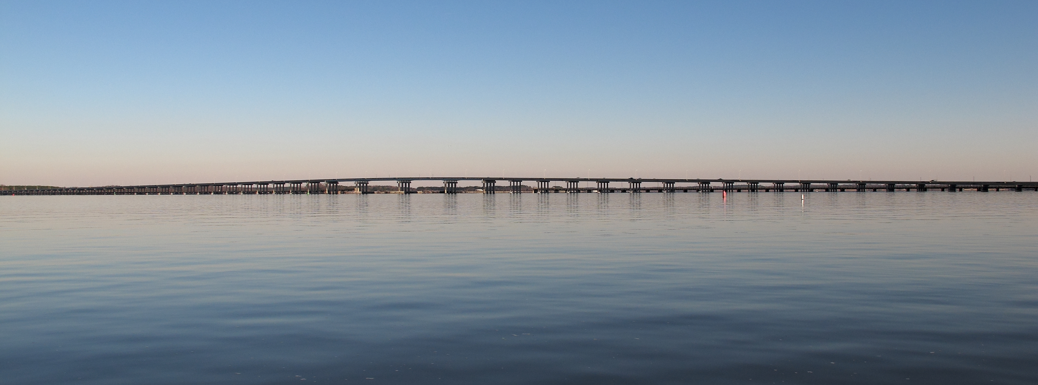
Frederick C. Malkus Bridge Cambridge MD
Topographic Map of Linkwood, MD, USA
Find elevation by address:

Places in Linkwood, MD, USA:
Places near Linkwood, MD, USA:
Vincent Rd, Linkwood, MD, USA
14, Linkwood
3533 Indian Grant Rd
Main St, Preston, MD, USA
Secretary
101 Main St
2320 Chancellor Point Rd
2286 Chancellor Point Rd
30436 Belmont Dr
Hyatt Regency Chesapeake Bay Golf Resort, Spa And Marina
309 Nathans Ave
Clarks Wharf Road
120 Vue De Leau St
109 Vue De Leau St
Vue De Leau Street
Cambridge
3 Choptank Ave
Race Street
109 West End Ave
117 West End Ave
Recent Searches:
- Elevation of 24 Oakland Rd #, Scotland, ON N0E 1R0, Canada
- Elevation of Deep Gap Farm Rd E, Mill Spring, NC, USA
- Elevation of Dog Leg Dr, Minden, NV, USA
- Elevation of Dog Leg Dr, Minden, NV, USA
- Elevation of Kambingan Sa Pansol Atbp., Purok 7 Pansol, Candaba, Pampanga, Philippines
- Elevation of Pinewood Dr, New Bern, NC, USA
- Elevation of Mountain View, CA, USA
- Elevation of Foligno, Province of Perugia, Italy
- Elevation of Blauwestad, Netherlands
- Elevation of Bella Terra Blvd, Estero, FL, USA