Elevation of Chancellor Point Rd, Trappe, MD, USA
Location: United States > Maryland > Talbot County > 3, Trappe > Trappe >
Longitude: -76.017937
Latitude: 38.610979
Elevation: 6m / 20feet
Barometric Pressure: 101KPa
Elevation Map:
Satellite Map:
Related Photos:

View from my room
Chesapeake View

Hyatt Chesapeake Golf Course

Chesapeak bay Hyatt

Pool View
Room with a view - at ACT/IAC's #MOC2013 - looking forward to moderating panels Monday
Old White Marsh Episcopal Church
Clouds over the Choptank

Old White Marsh Episcopal Church
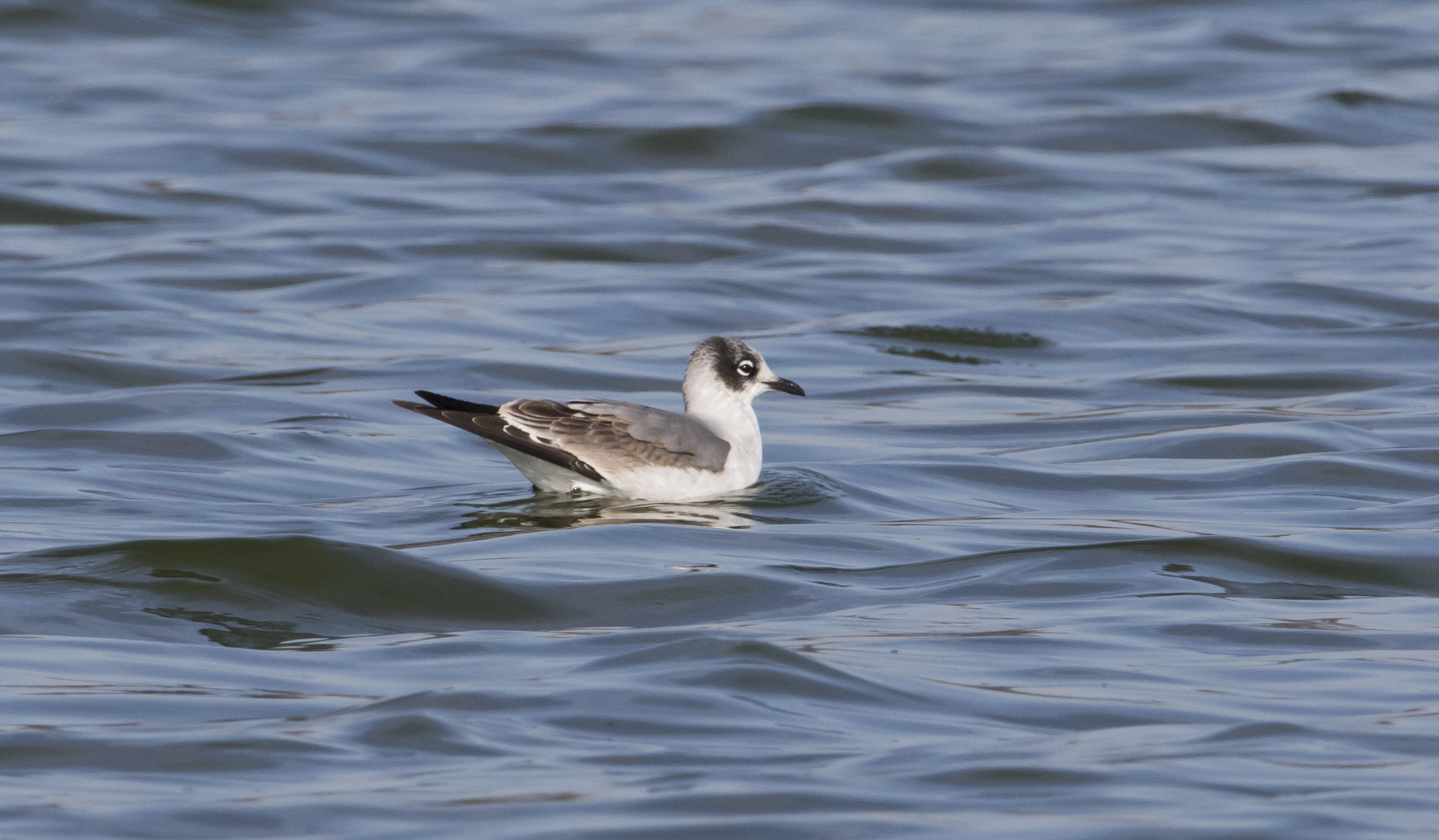
Franklin's Gull - Maryland
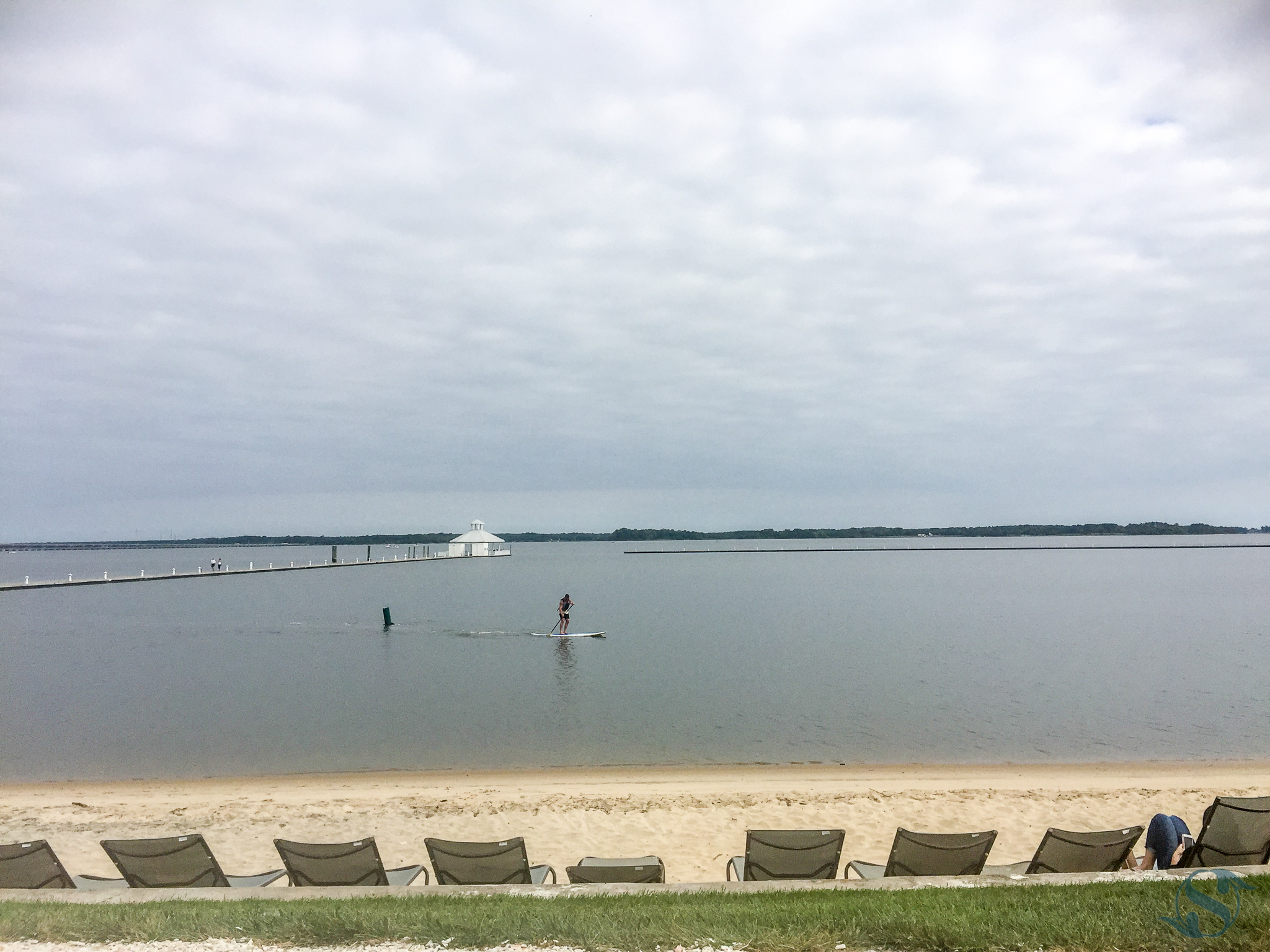
246:365 - 09/18/2016 - Hyatt Regency Beach View

Oxford, MD
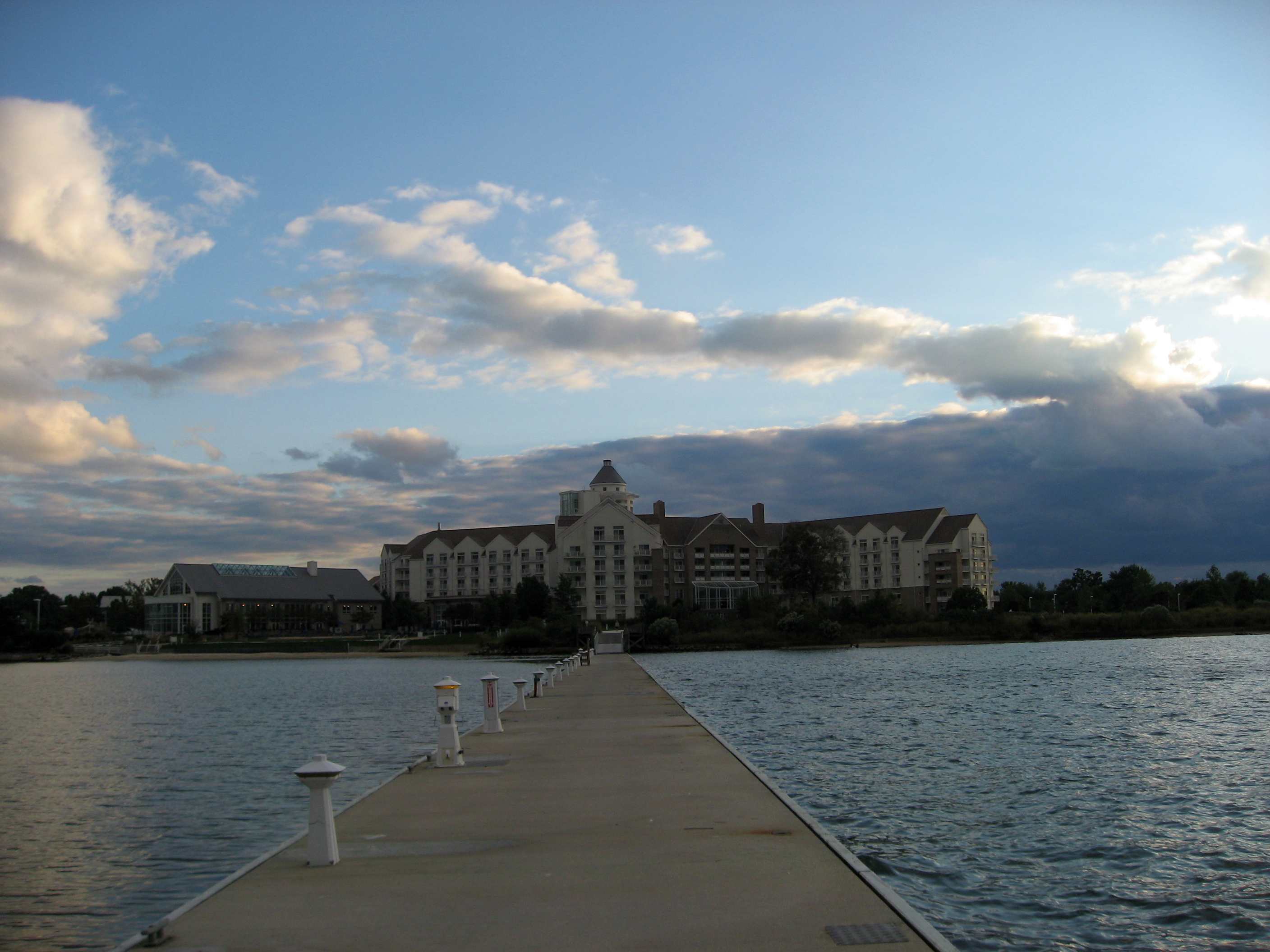
Hyatt Regency Chesapeake Bay
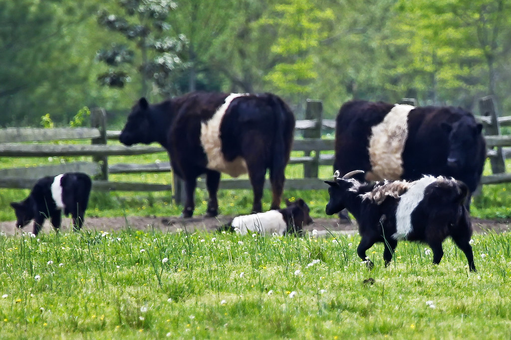
Agent Billy's Bleating Was Raising Suspicions

Little Round Top Interior
Sailwinds Park, Cambridge, MD - 06
F. S. Langrell Linchester Flouring Mill: Rear View
Least Tern
Dorchester County Courthouse
Treestand view
Old White Marsh Episcopal Church
Crab Baskets at the Choptank River Lighthouse

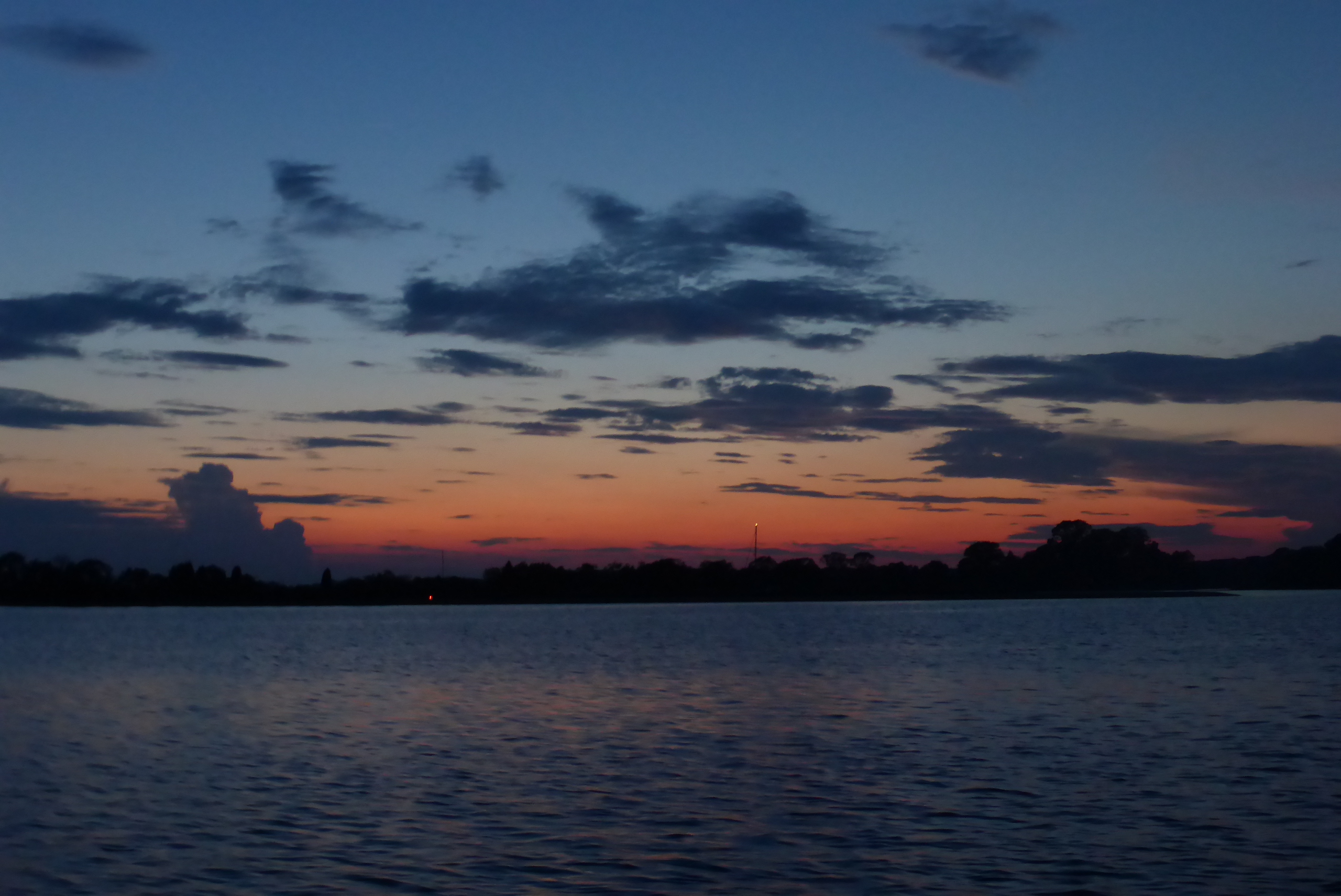
Choptank River #sunset #sunshots2013

05024 Choptank Sunset
Trying the fishing out in Maryland. #nobites
A Tree By the River

Off to sea

Trying the fishing out in Maryland. #nobites
05035 Stone Jetty - Choptank River
ES-21

Cambridge, Maryland

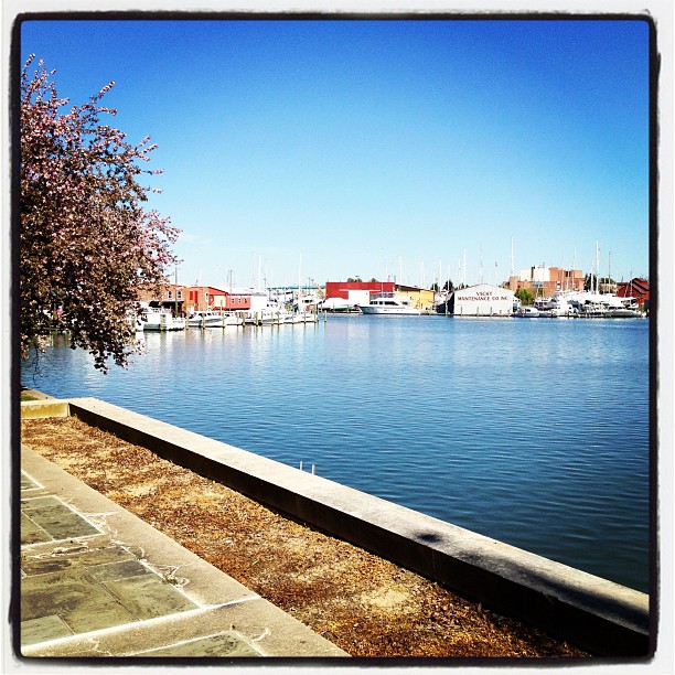
Choptank River
Cambridge Maryland
A beautiful day on the Creek
A little Giverny in the Chesapeake. #vacation #family #summertime

Farmland on the Choptank River

Harriet Tubman Underground Railroad Byway
2013-07-06 20.17.17
2013-07-06 20.17.30

ChesepeakSunset-Iphone
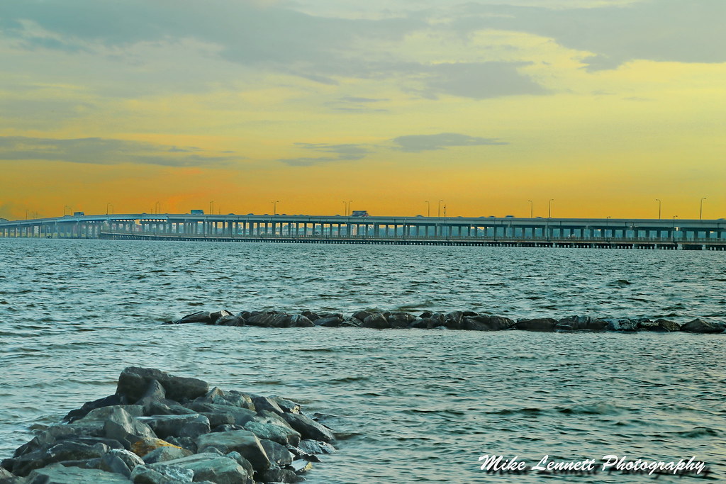
04997 Choptank River Bridge - Sunset
TMUrban90th-birthday-097
Topographic Map of Chancellor Point Rd, Trappe, MD, USA
Find elevation by address:

Places near Chancellor Point Rd, Trappe, MD, USA:
2320 Chancellor Point Rd
30436 Belmont Dr
3533 Indian Grant Rd
Hyatt Regency Chesapeake Bay Golf Resort, Spa And Marina
3935 Ocean Gateway
3935 Ocean Gateway
3935 Ocean Gateway
3860 Main St
Clarks Wharf Road
Trappe
309 Nathans Ave
101 Main St
3 Choptank Ave
109 Vue De Leau St
Vue De Leau Street
120 Vue De Leau St
103 Willis St
109 West End Ave
117 West End Ave
114 Willis St
Recent Searches:
- Elevation of 3 Nestling Wood Dr, Long Valley, NJ, USA
- Elevation of Ilungu, Tanzania
- Elevation of Yellow Springs Road, Yellow Springs Rd, Chester Springs, PA, USA
- Elevation of Rēzekne Municipality, Latvia
- Elevation of Plikpūrmaļi, Vērēmi Parish, Rēzekne Municipality, LV-, Latvia
- Elevation of 2 Henschke Ct, Caboolture QLD, Australia
- Elevation of Redondo Ave, Long Beach, CA, USA
- Elevation of Sadovaya Ulitsa, 20, Rezh, Sverdlovskaya oblast', Russia
- Elevation of Ulitsa Kalinina, 79, Rezh, Sverdlovskaya oblast', Russia
- Elevation of 72-31 Metropolitan Ave, Middle Village, NY, USA