Elevation map of Lincoln County, NV, USA
Location: United States > Nevada >
Longitude: -114.52426
Latitude: 37.660825
Elevation: 1541m / 5056feet
Barometric Pressure: 84KPa
Elevation Map:
Satellite Map:
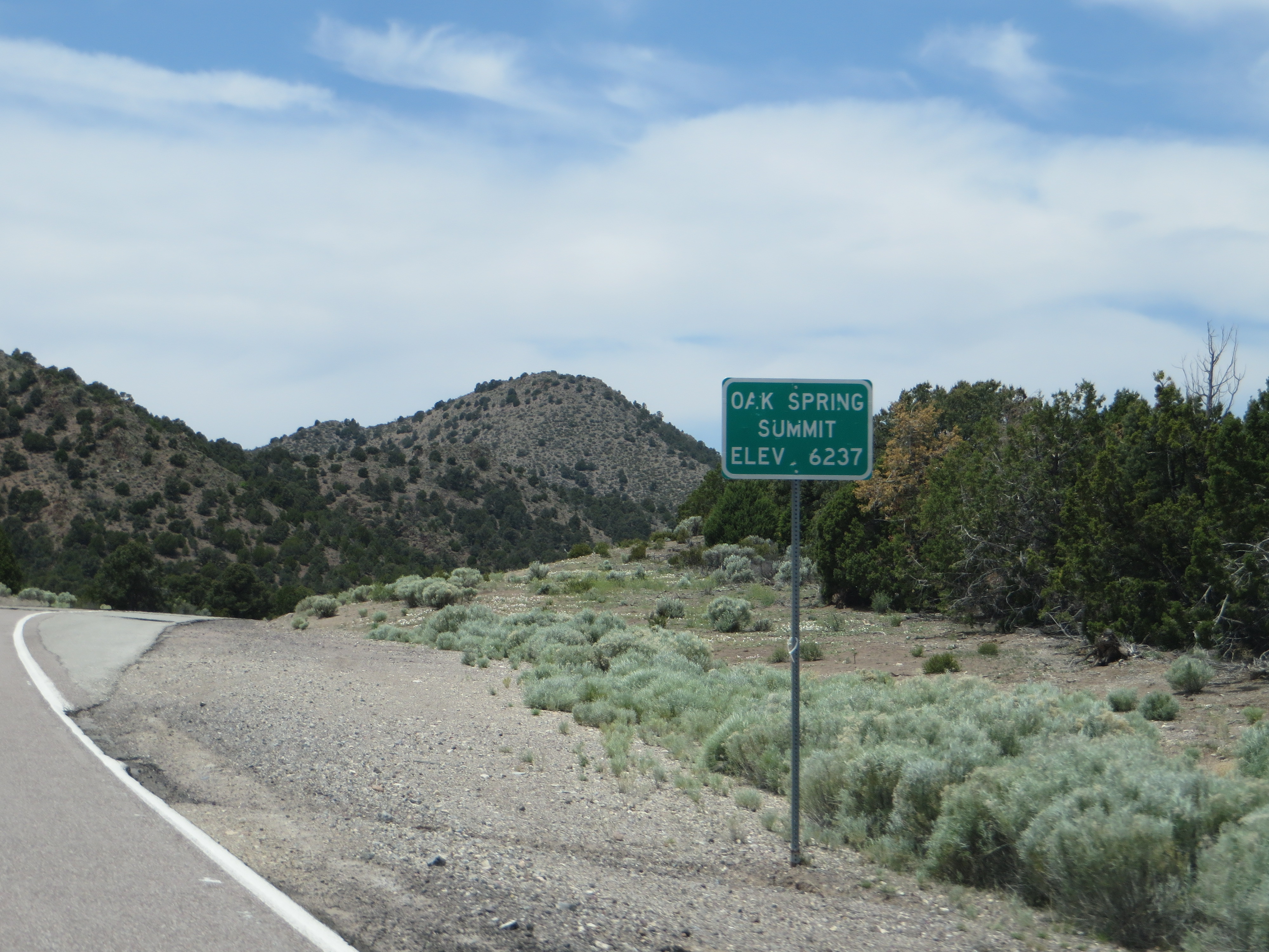
Related Photos:
20100928_6251...Abandoned highway
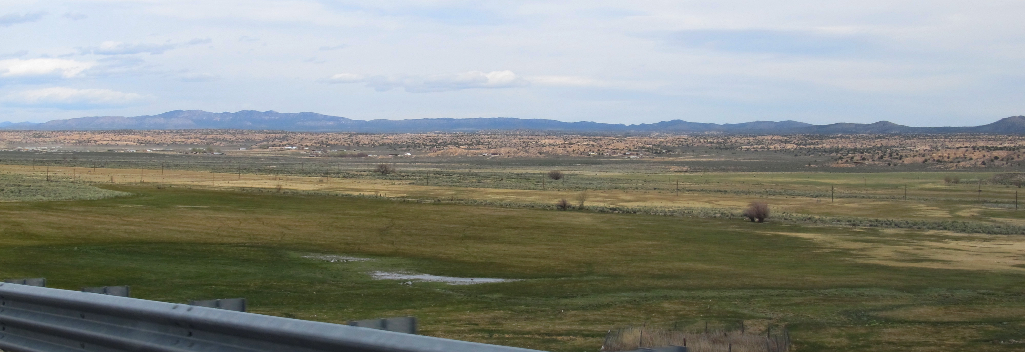
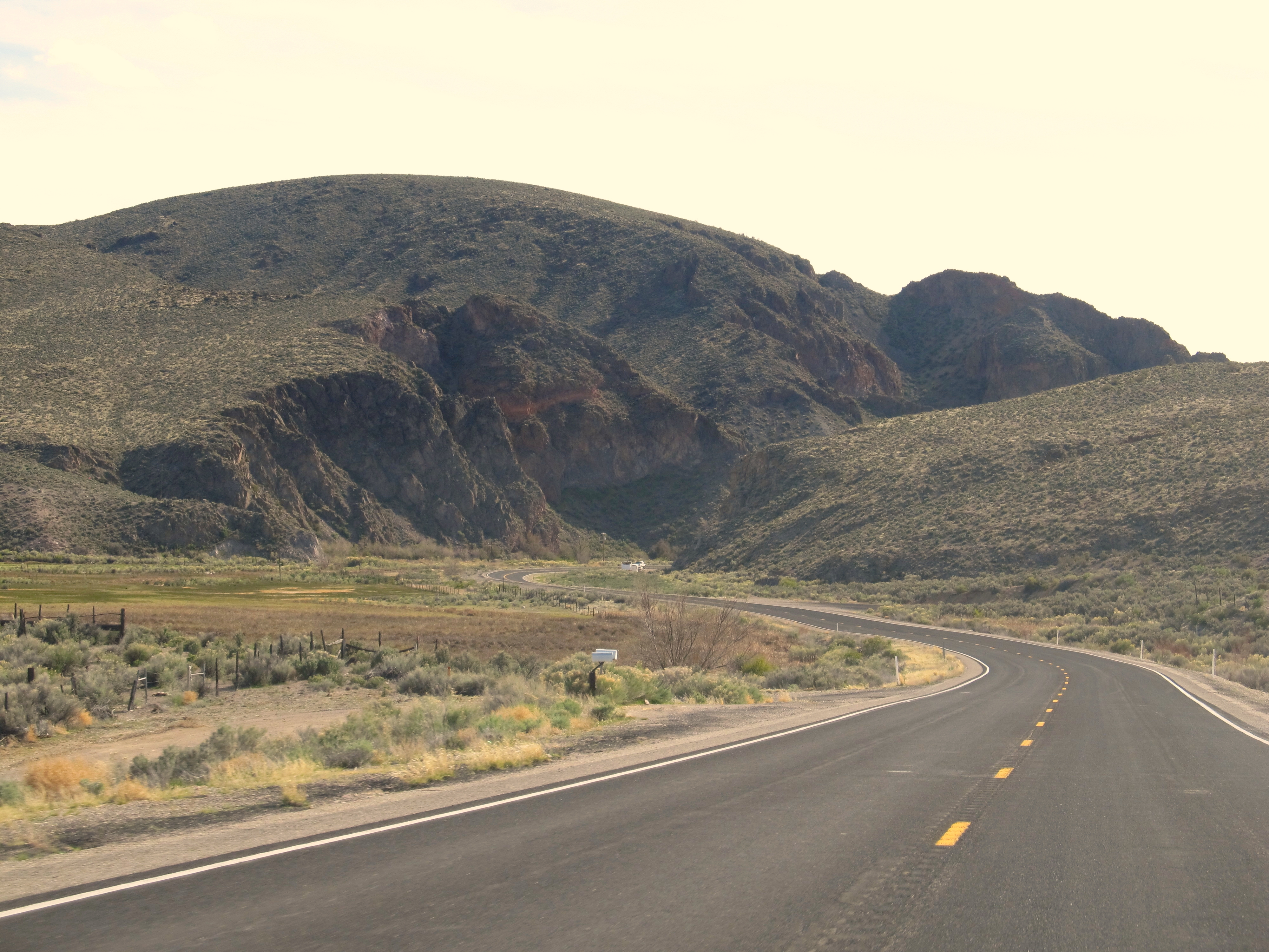
View of the Meadow Valley Approaching Panaca, Nevada
Westbound at Etna

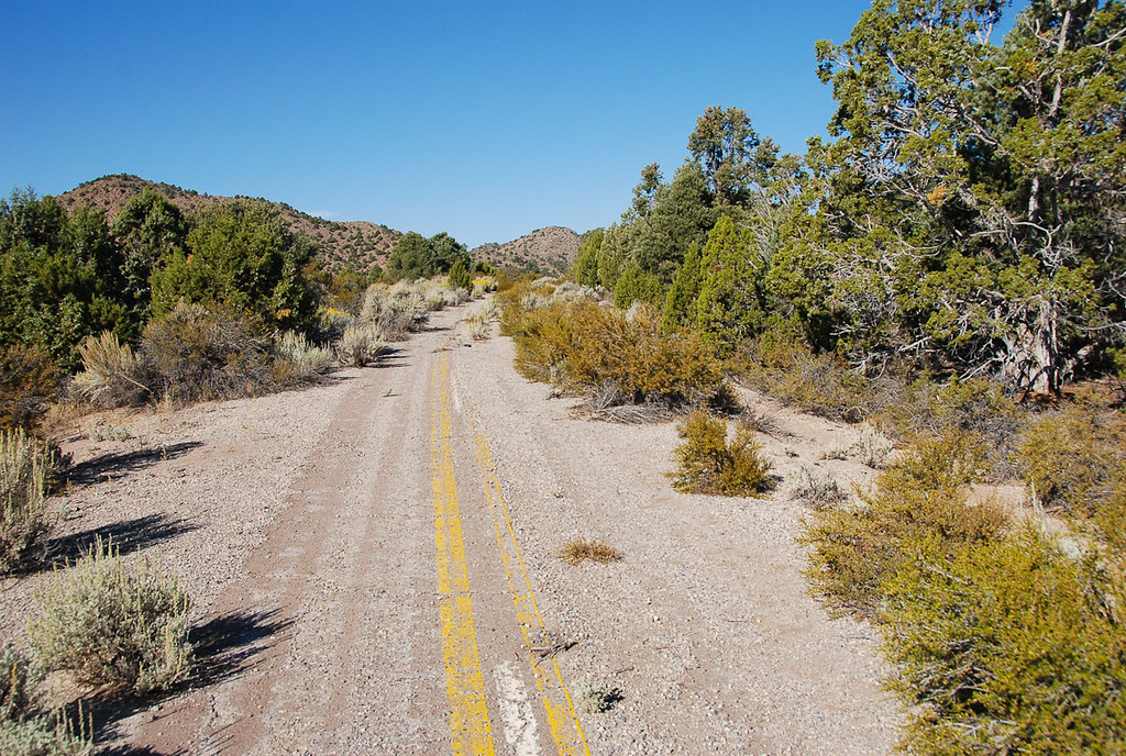
Entering Antelope

desert geometries

PA141081-Pano
Just outside Caliente nv #nevada #roadtrip

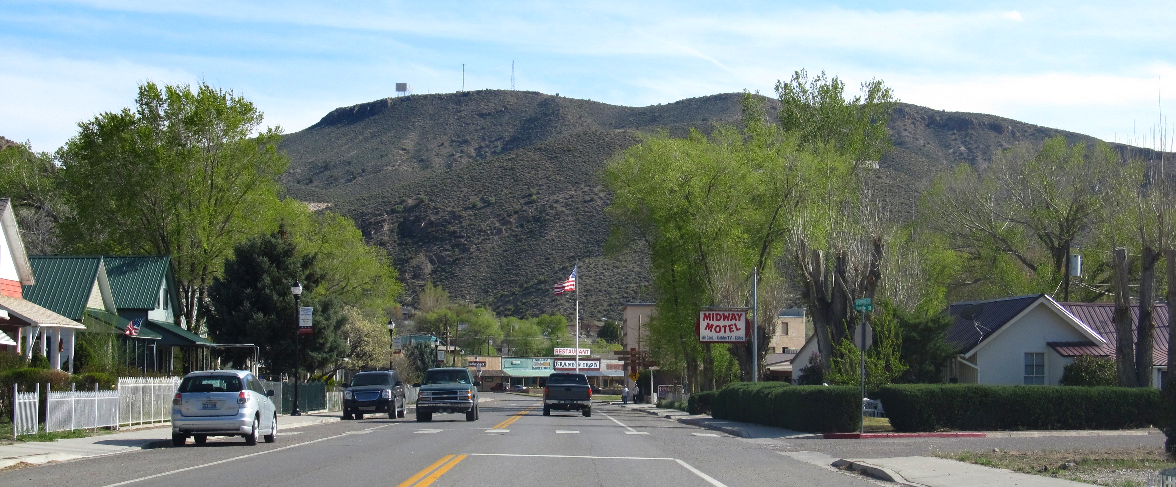
U.S. 93 Approaching Caliente, Nevada
Caliente, NV 0506a
Caliente, Nevada

U.S. 93 Approaching Caliente, Nevada
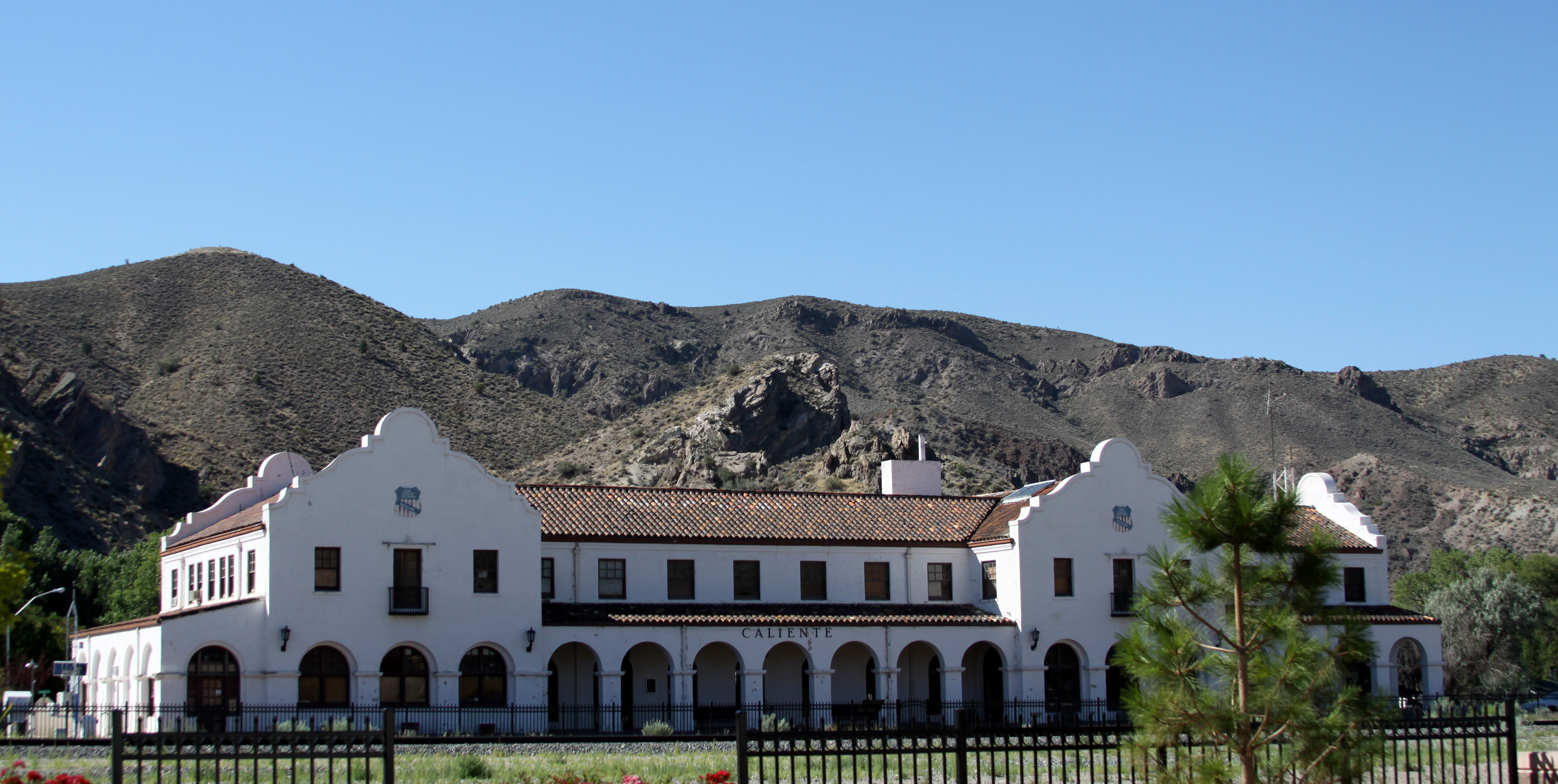
Da' Caliente Station
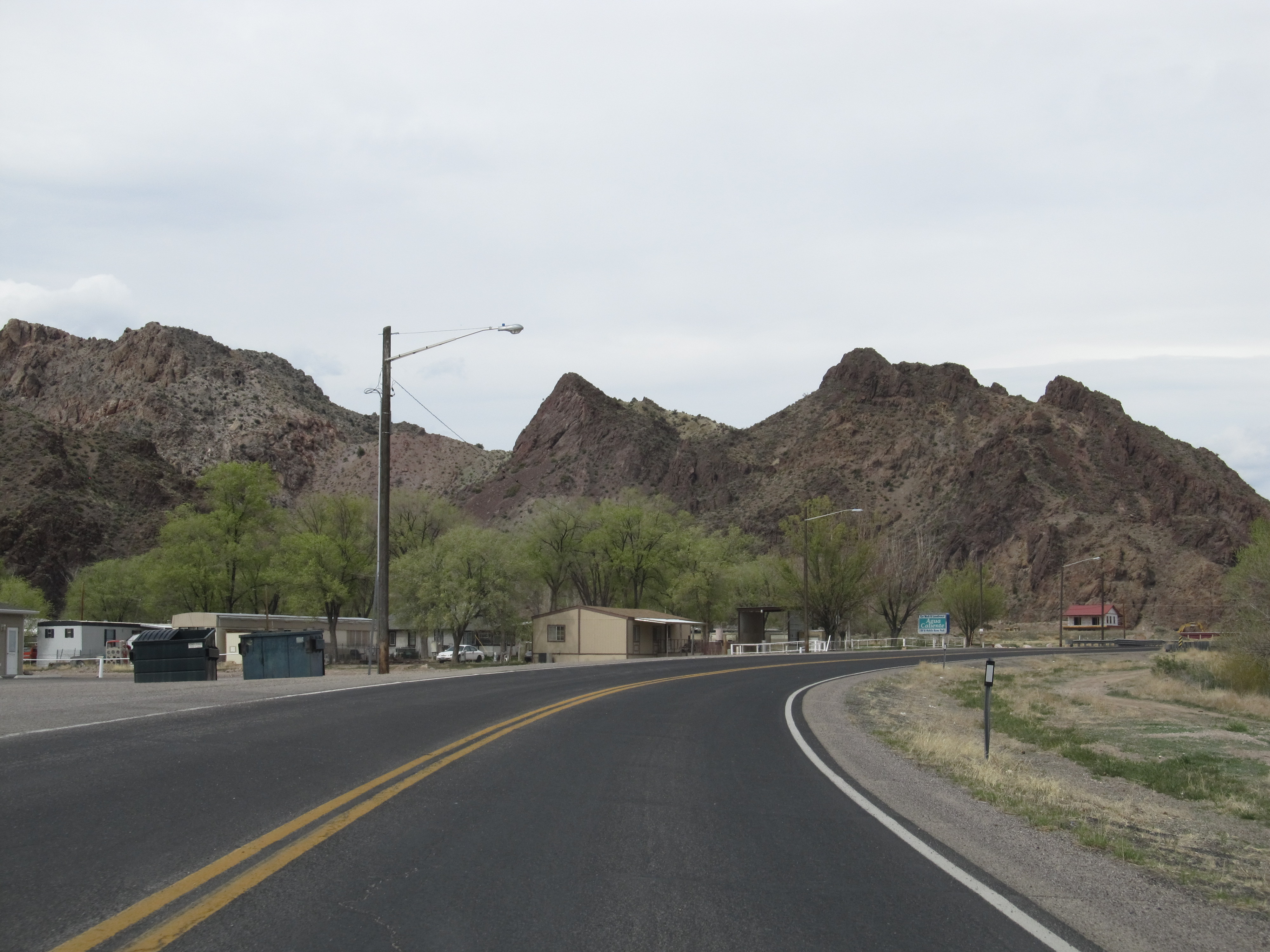
Caliente, Nevada
U.S. 93 Approaching Caliente, Nevada

Out hiking

Campground at sunset
Nevada_2005-3
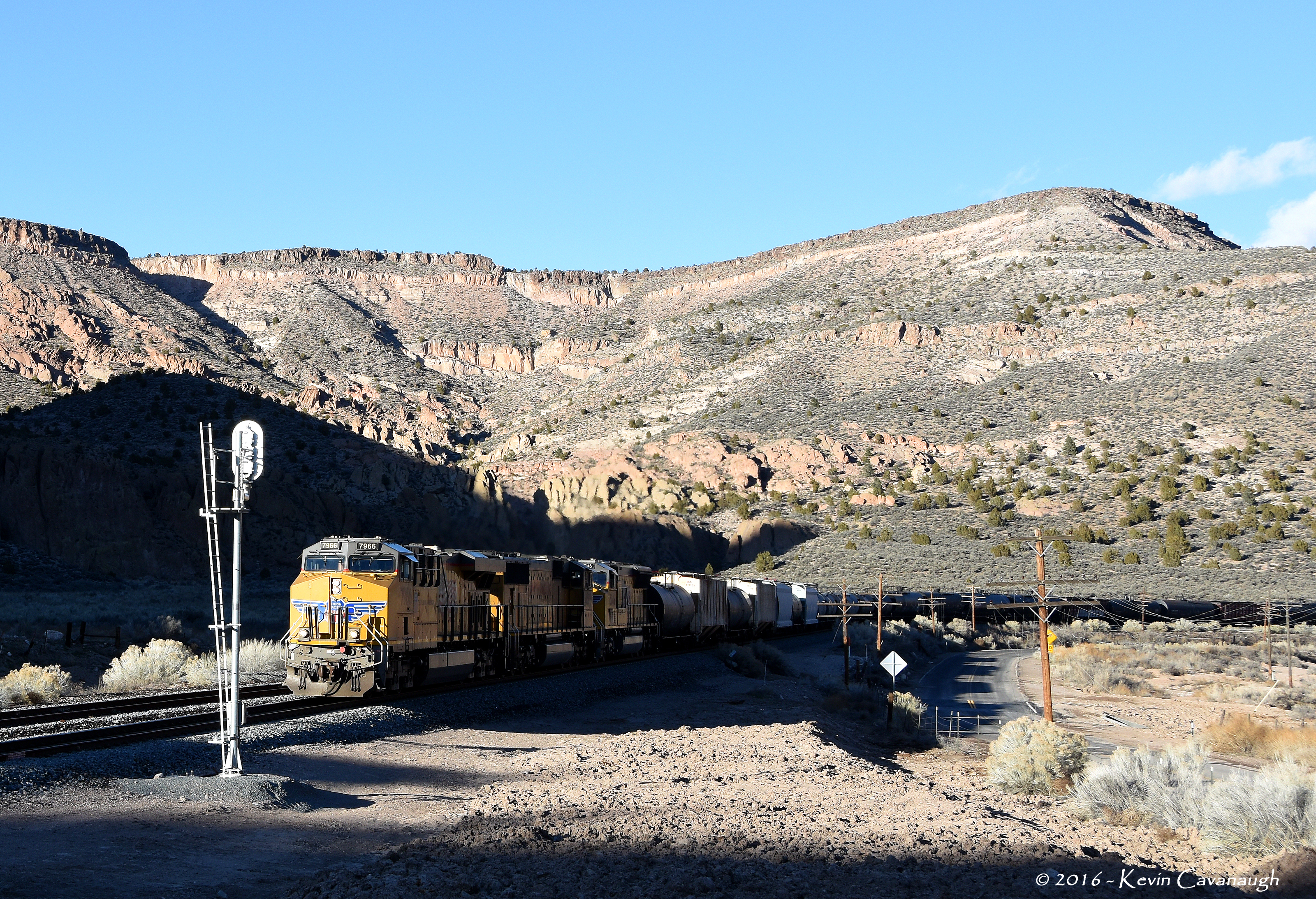
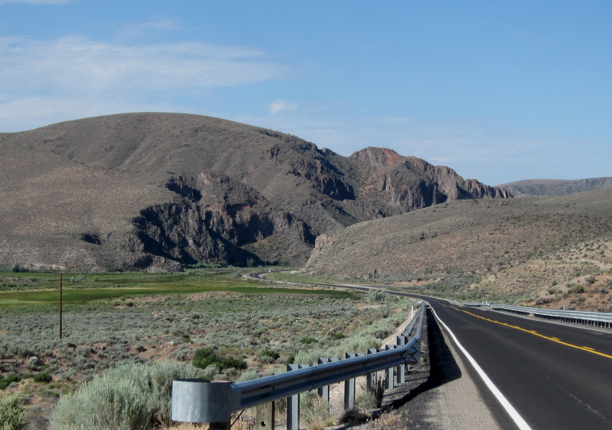
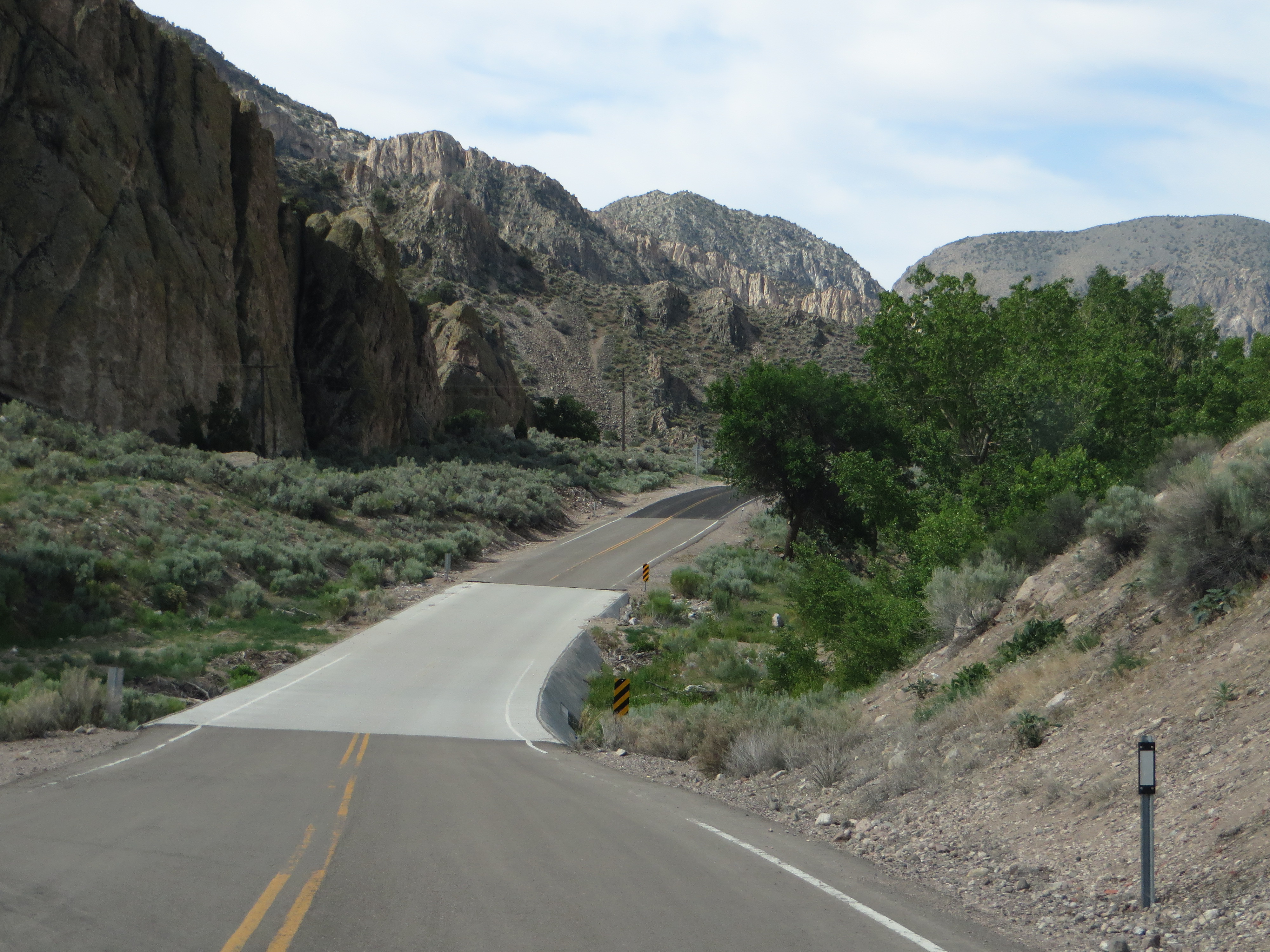
U.S. Route 93 Near Caliente, Nevada
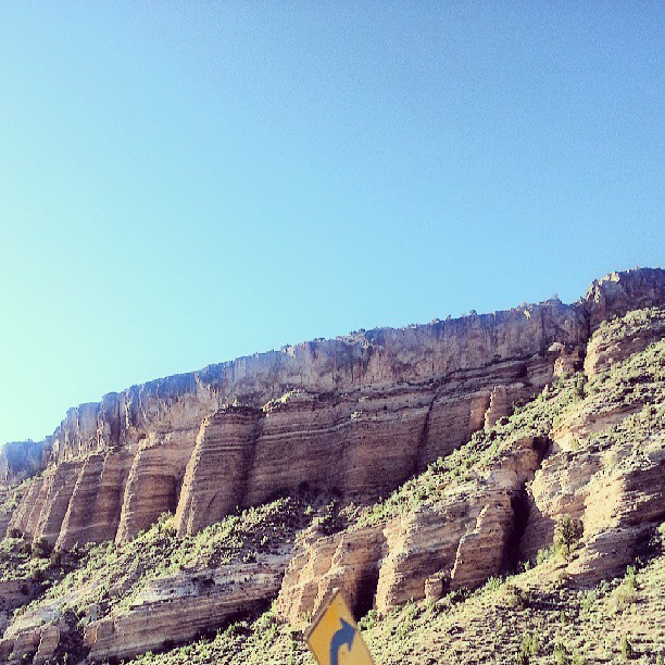
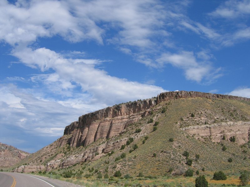
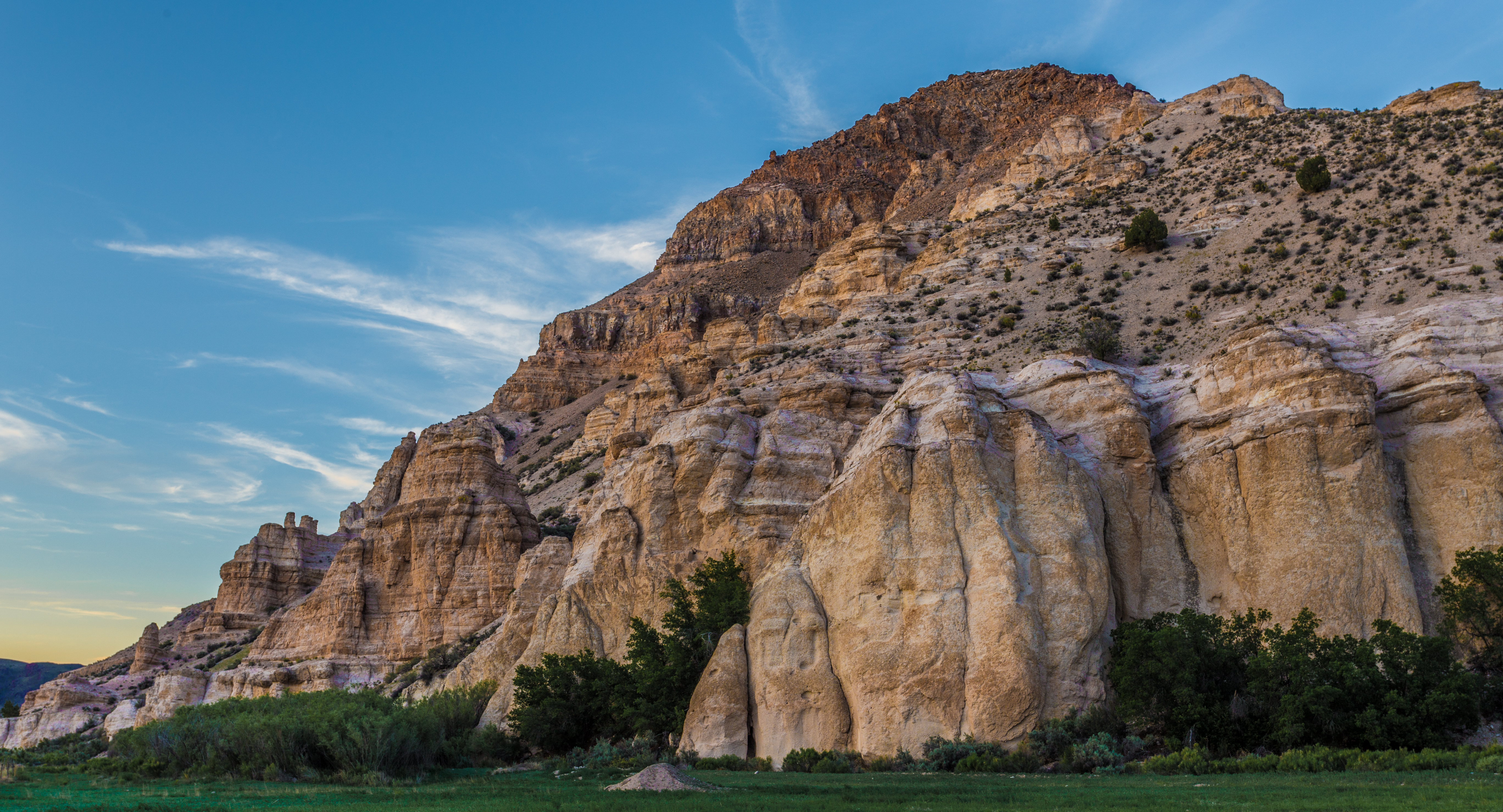
Rainbow Canyon South of Caliente, Nevada
Entrance to Kershaw-Ryan SP
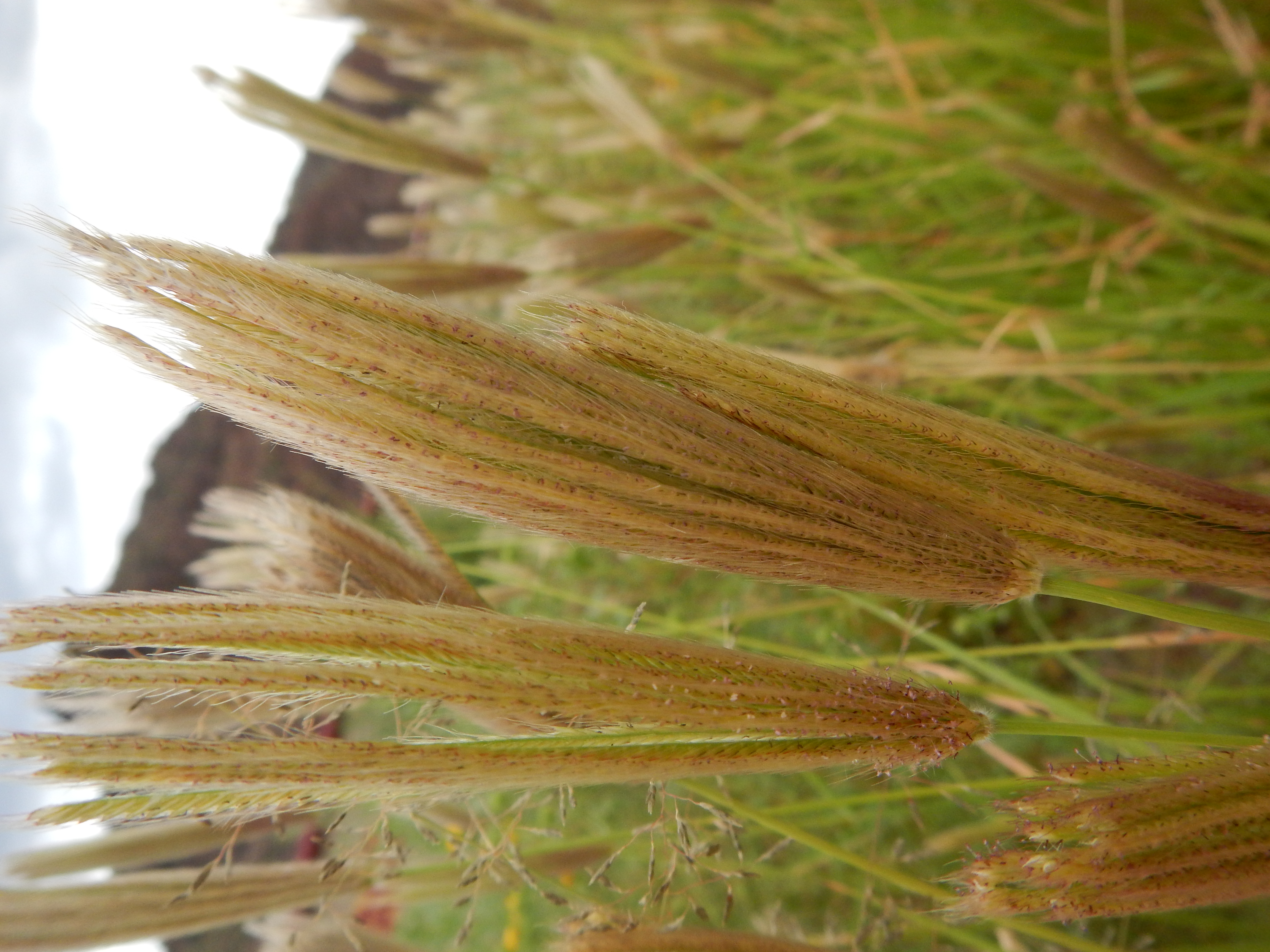
Chloris virgata
Topographic Map of Lincoln County, NV, USA
Find elevation by address:

Places in Lincoln County, NV, USA:
Pioche
Hiko
Bald Mountain
Mount Wilson
Crystal Springs
Groom Lake
Caliente
Highland Peak
Panaca
Area 51
Places near Lincoln County, NV, USA:
Caliente
Nevada State Park Regional Visitor's Center
Panaca
Lincoln County High School
Eagle Point
Miller Point Trail
Highland Peak
Pioche
590 Pioche St
465 Mccannon St
447 Mccannon St
Frehner Ranch Rd, Pioche, NV, USA
Dry Valley
Beaver Dam State Park
Pine Mountain
White Rocks Road
Beaver Dam Washington
Modena
Hiko
Alamo
Recent Searches:
- Elevation of Corso Fratelli Cairoli, 35, Macerata MC, Italy
- Elevation of Tallevast Rd, Sarasota, FL, USA
- Elevation of 4th St E, Sonoma, CA, USA
- Elevation of Black Hollow Rd, Pennsdale, PA, USA
- Elevation of Oakland Ave, Williamsport, PA, USA
- Elevation of Pedrógão Grande, Portugal
- Elevation of Klee Dr, Martinsburg, WV, USA
- Elevation of Via Roma, Pieranica CR, Italy
- Elevation of Tavkvetili Mountain, Georgia
- Elevation of Hartfords Bluff Cir, Mt Pleasant, SC, USA