Elevation of Modena, UT, USA
Location: United States > Utah > Iron County >
Longitude: -113.92414
Latitude: 37.7988558
Elevation: 1669m / 5476feet
Barometric Pressure: 83KPa
Elevation Map:
Satellite Map:
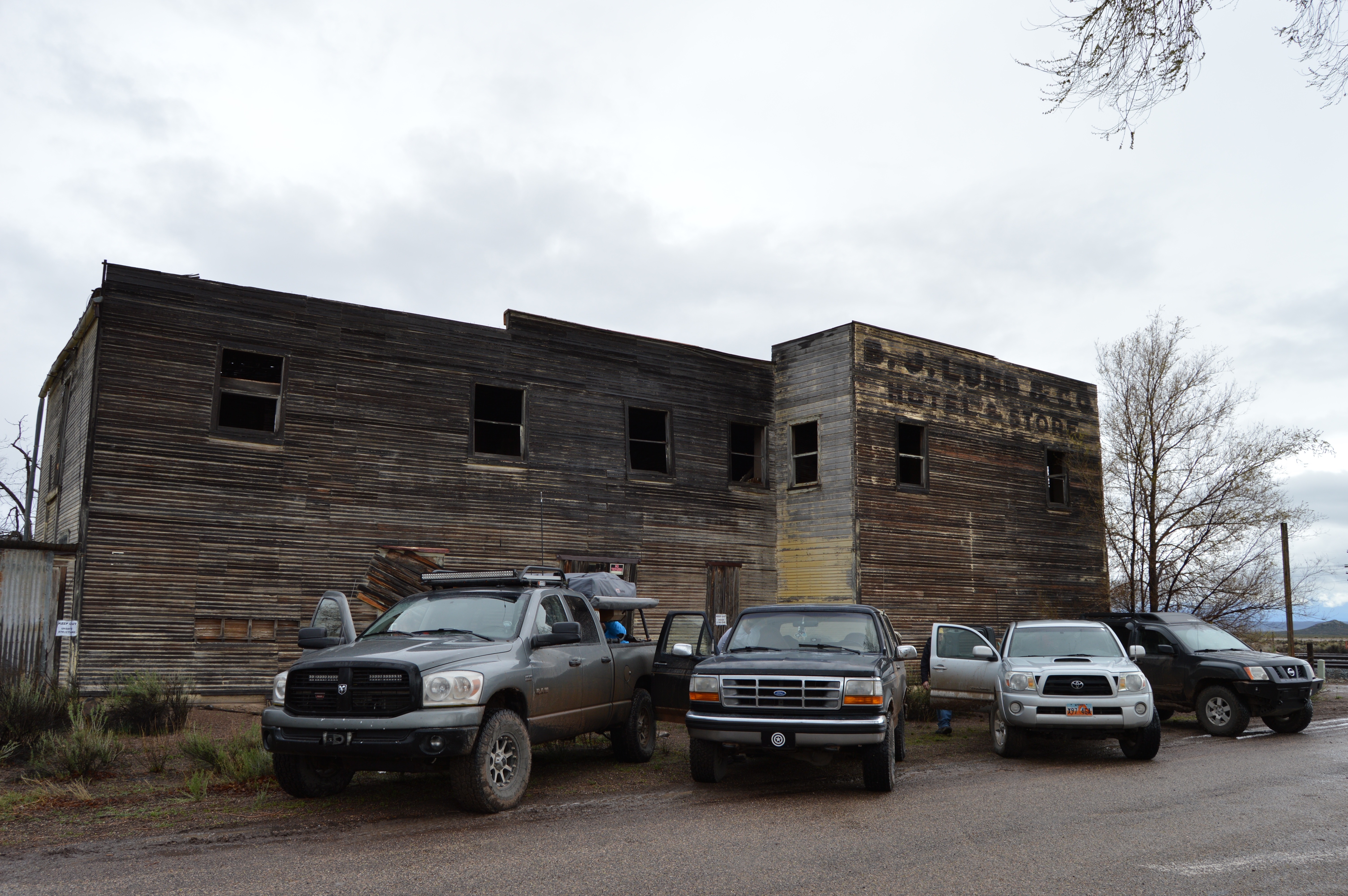
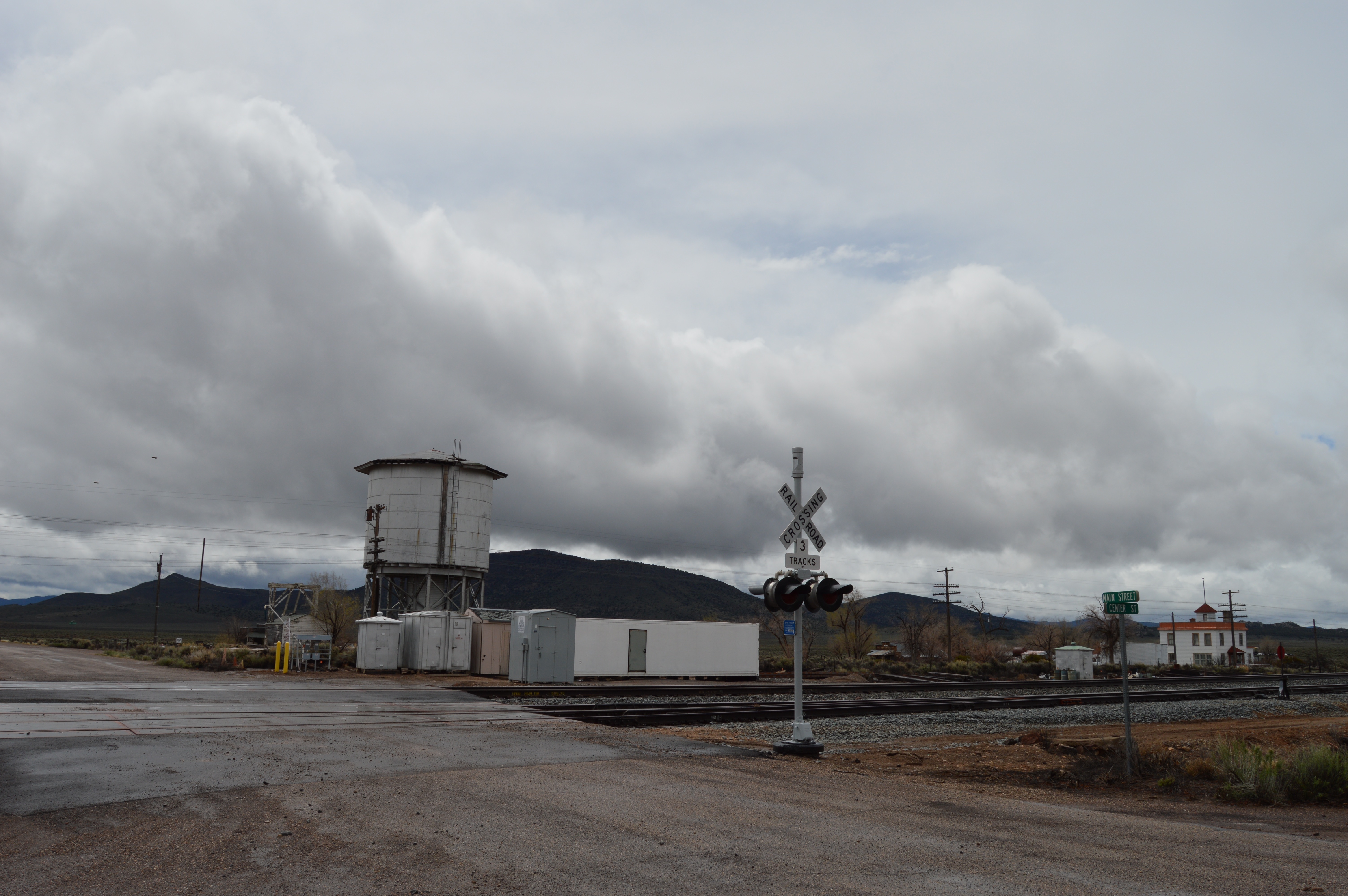
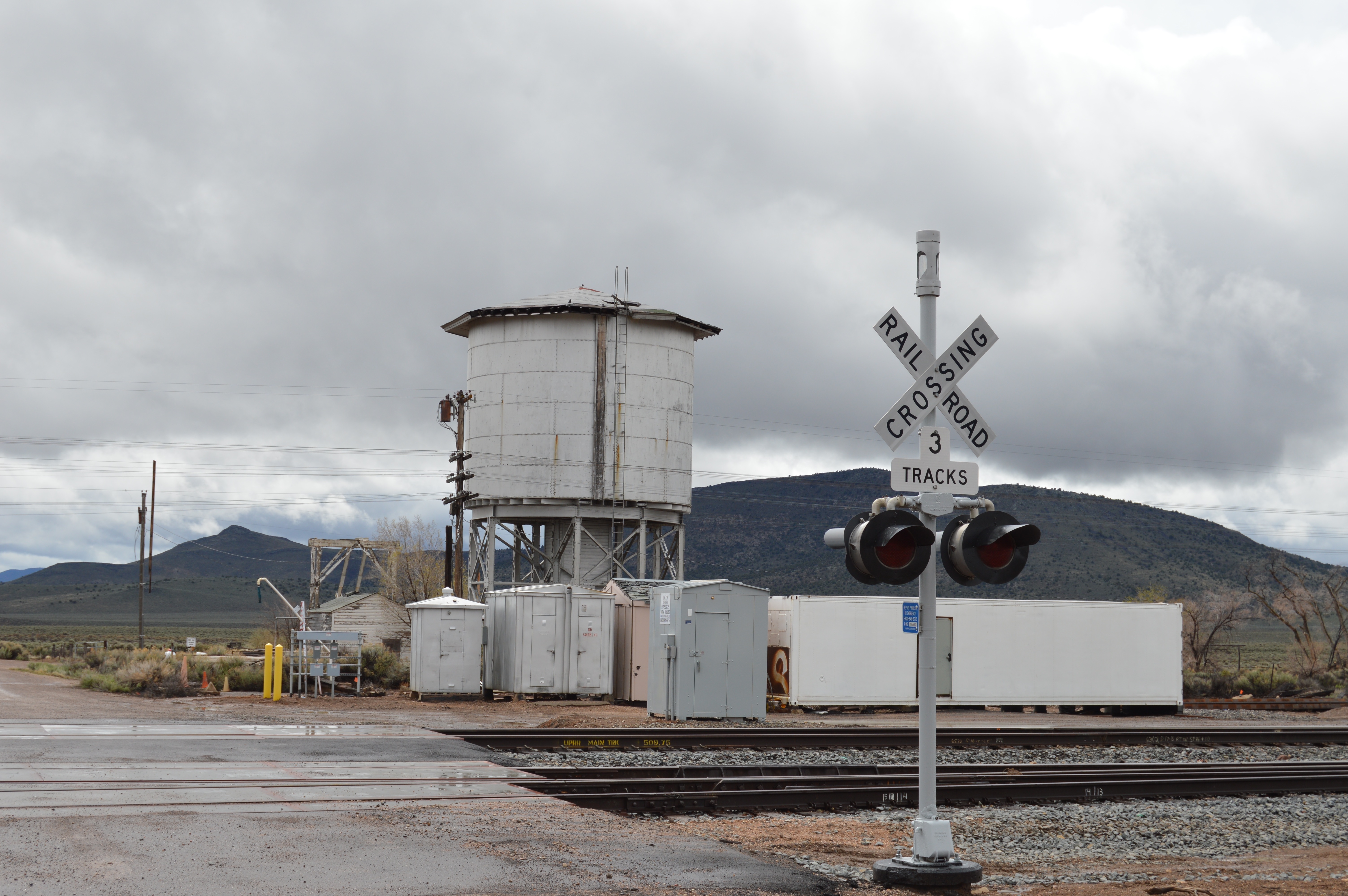
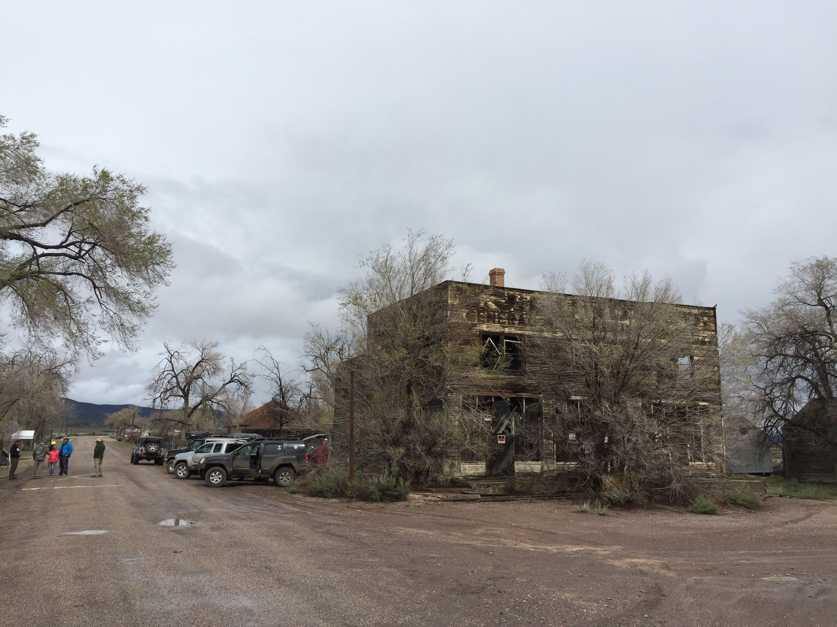
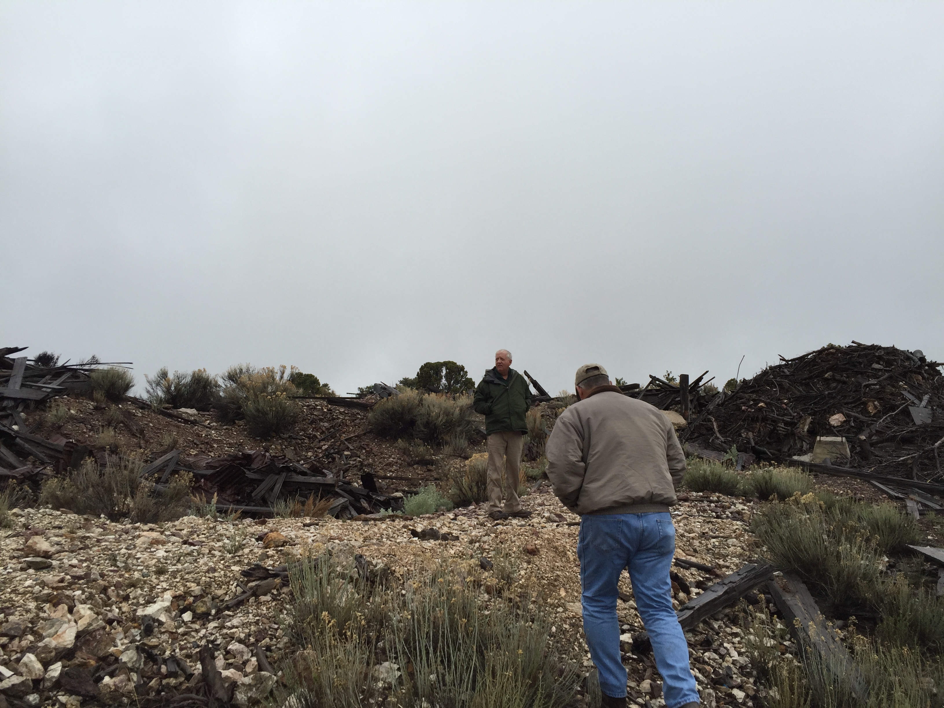
Related Photos:
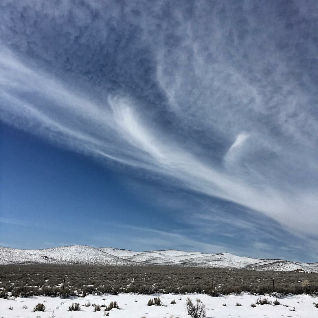
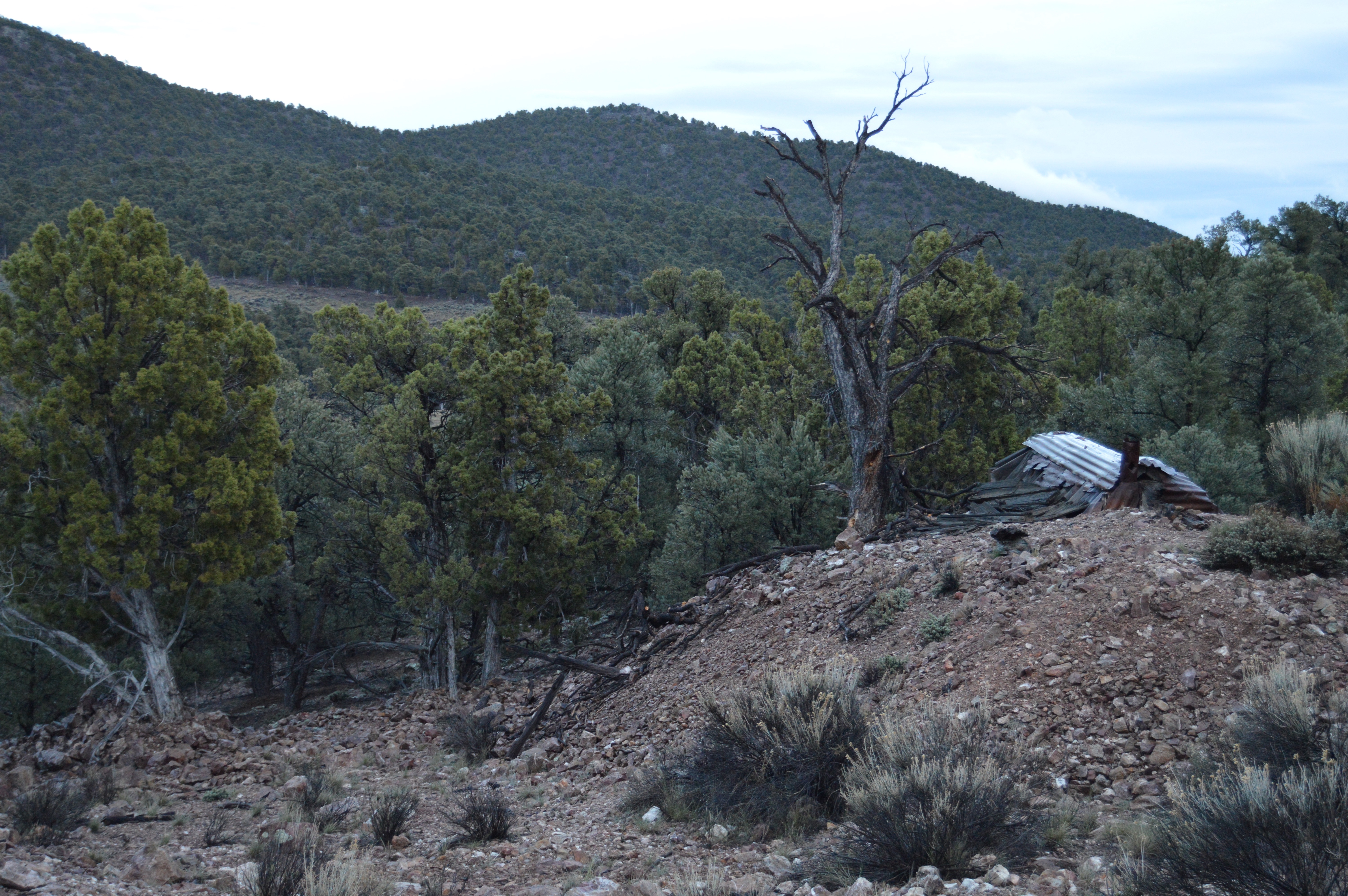
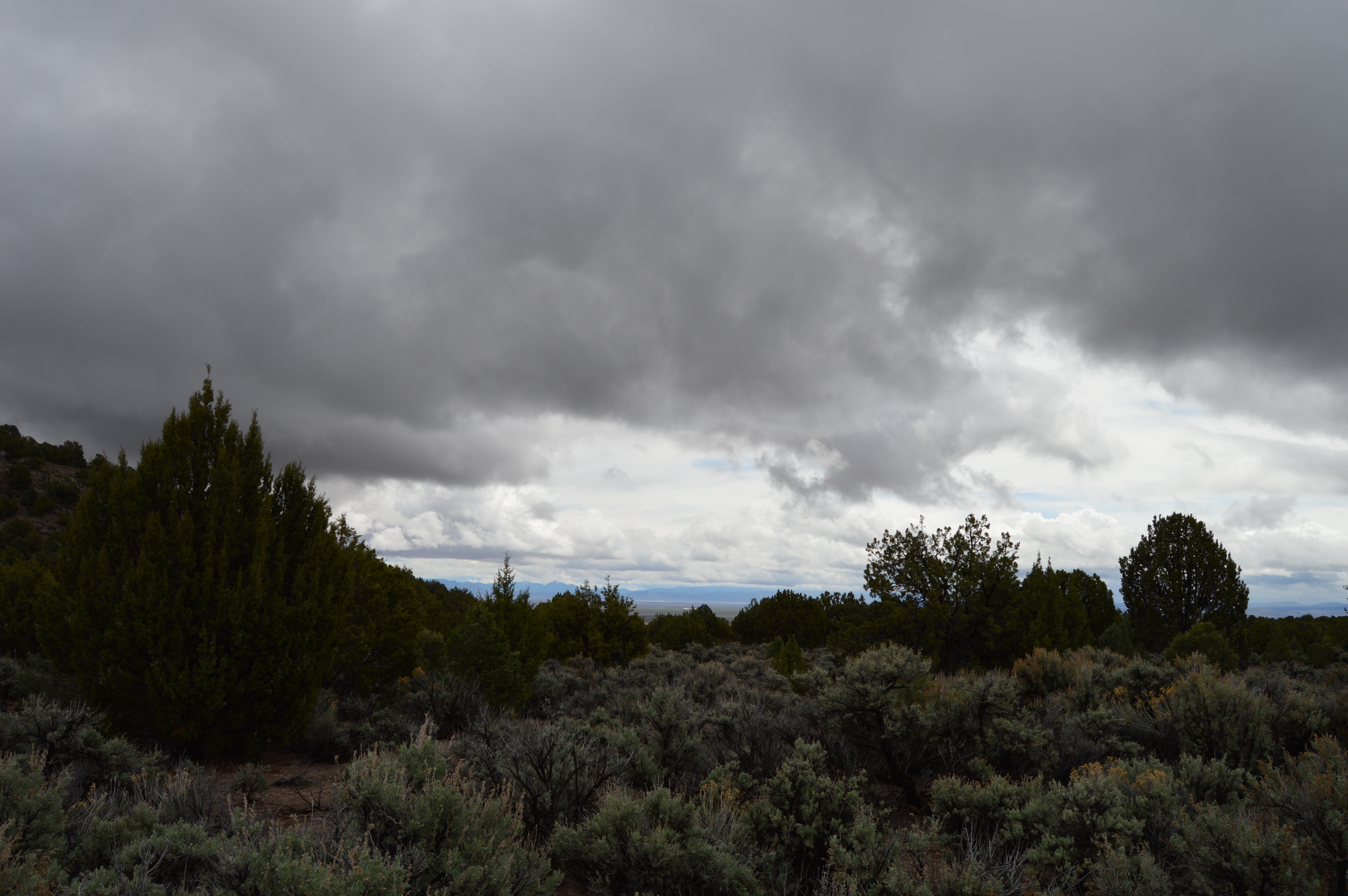
Sagebrush and snow by Modena, UT! . #clouds #sagebrush #snowy #Modena #modenautah #highway56 #ufohighway #landscape #rollinghills #southernutah #utah #ut #desert #iphone6s
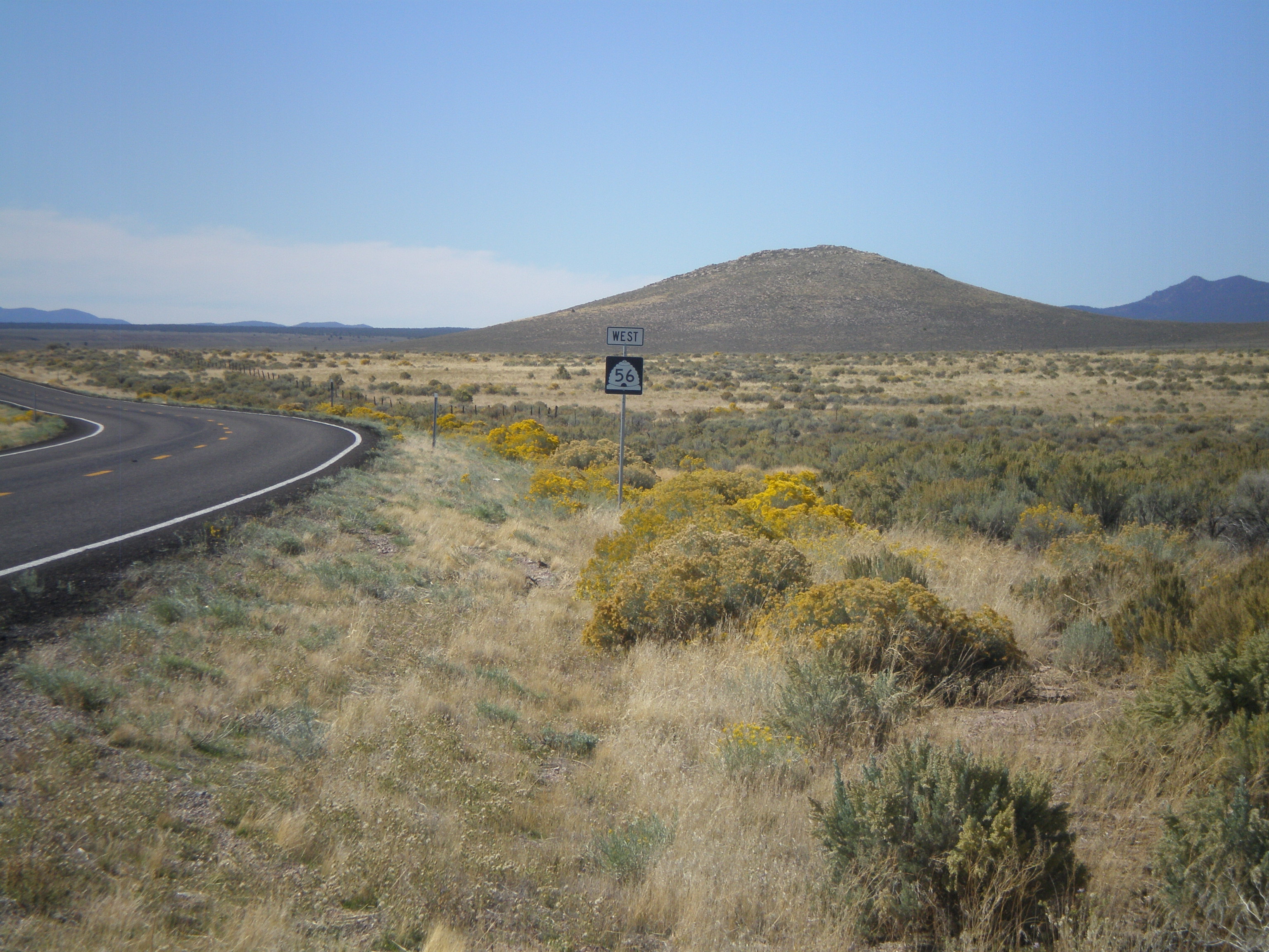
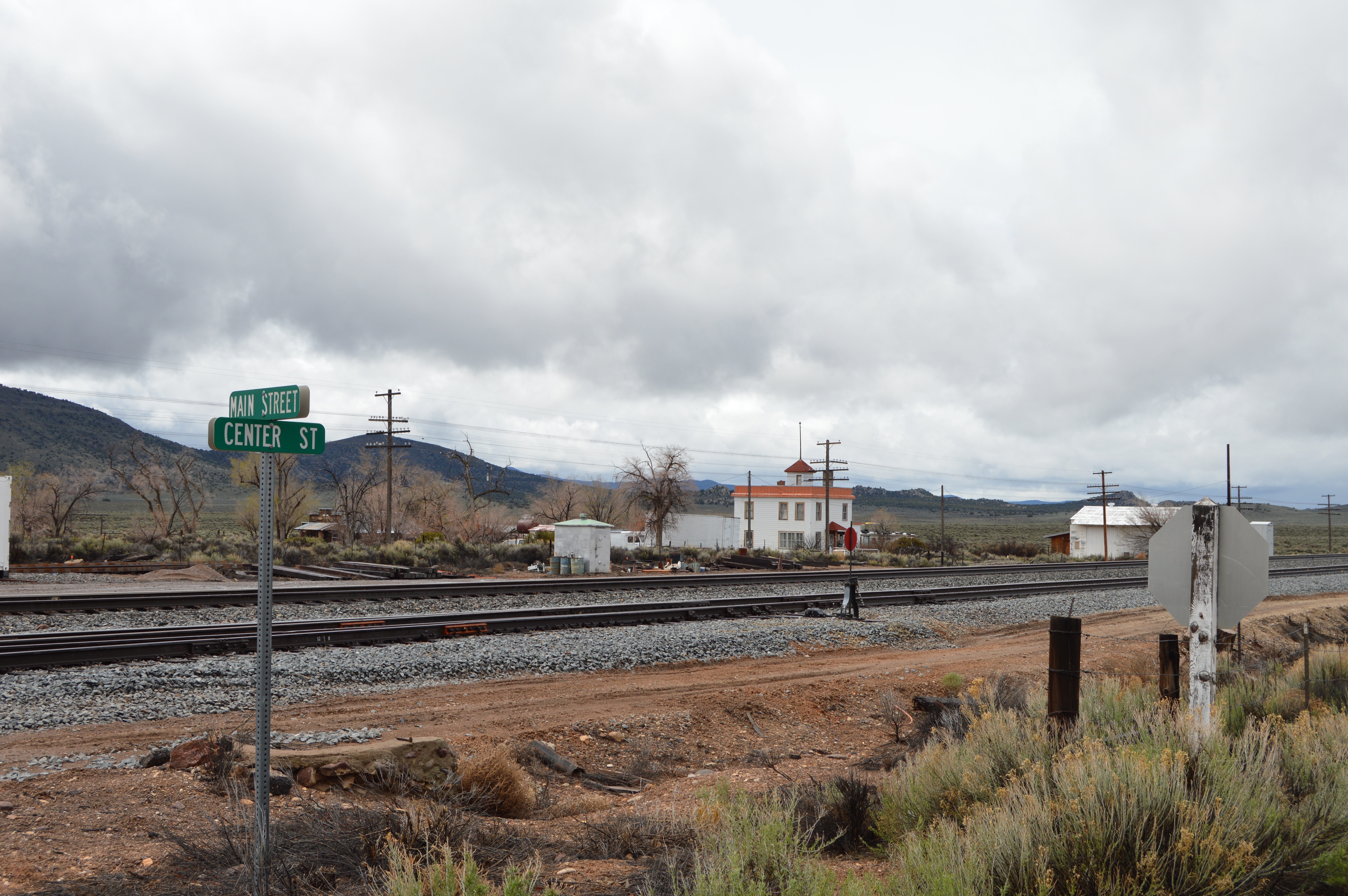
UT-56 West - Modena
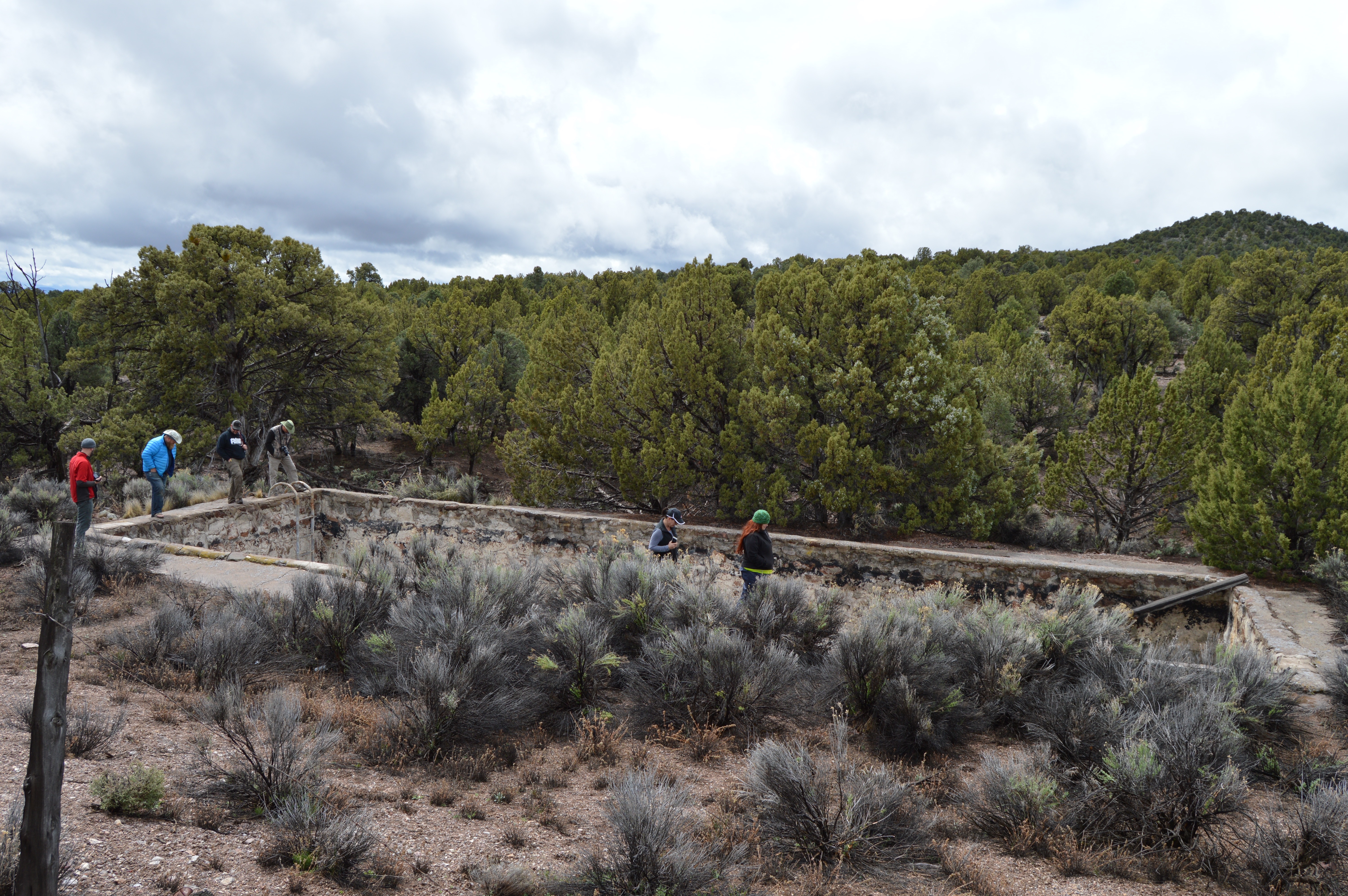
DSC_3732
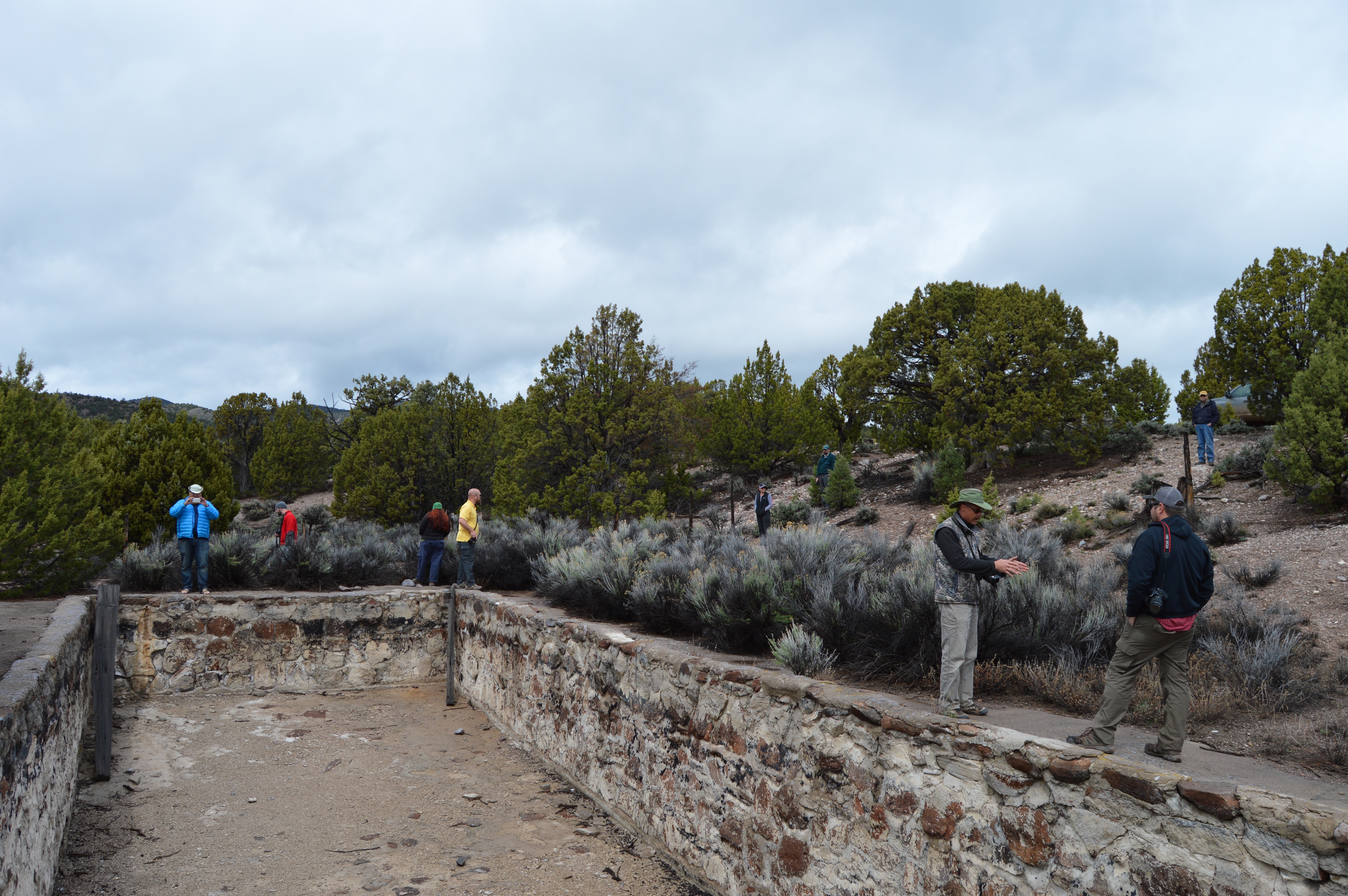
DSC_3725
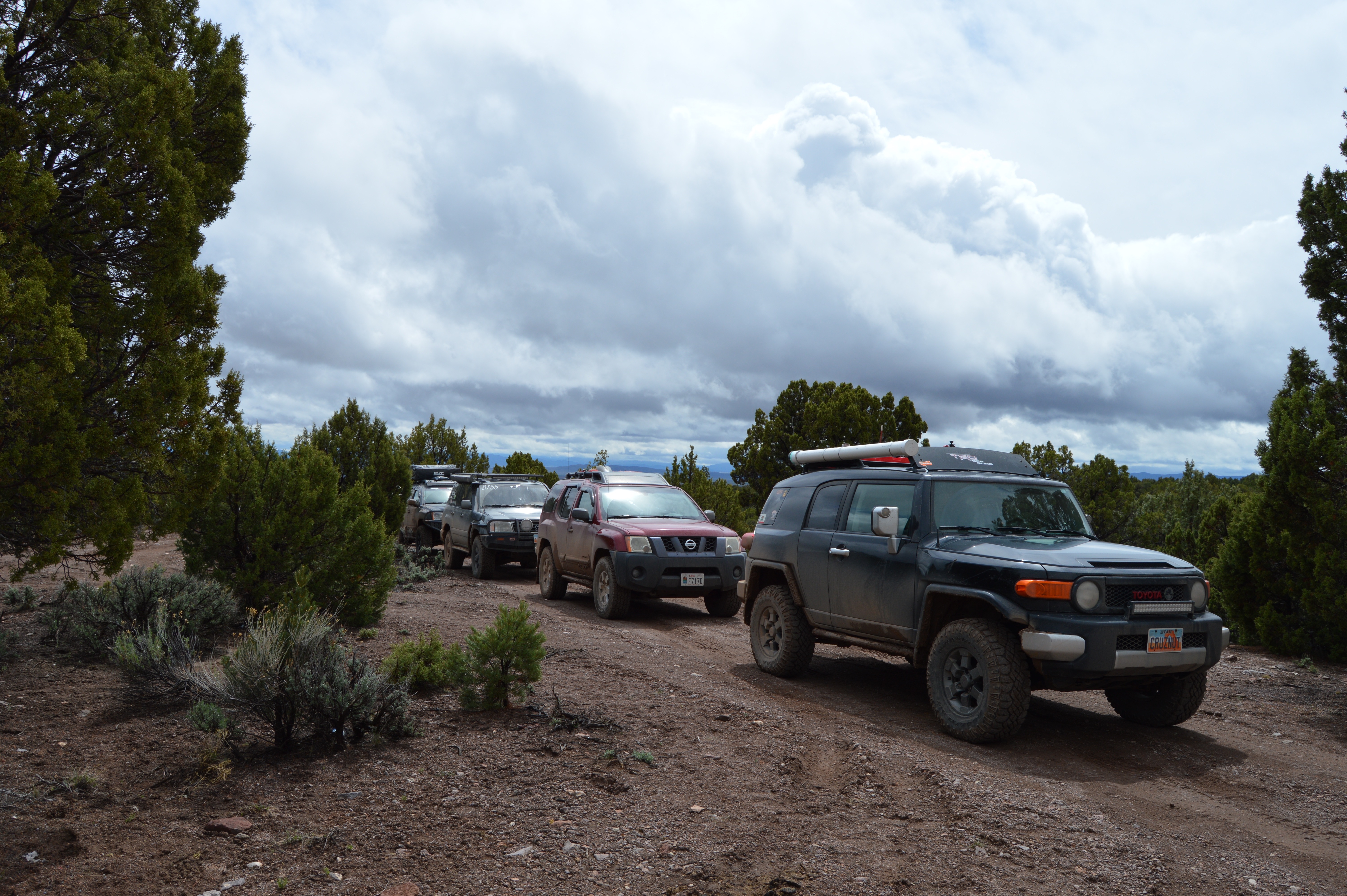
DSC_3717
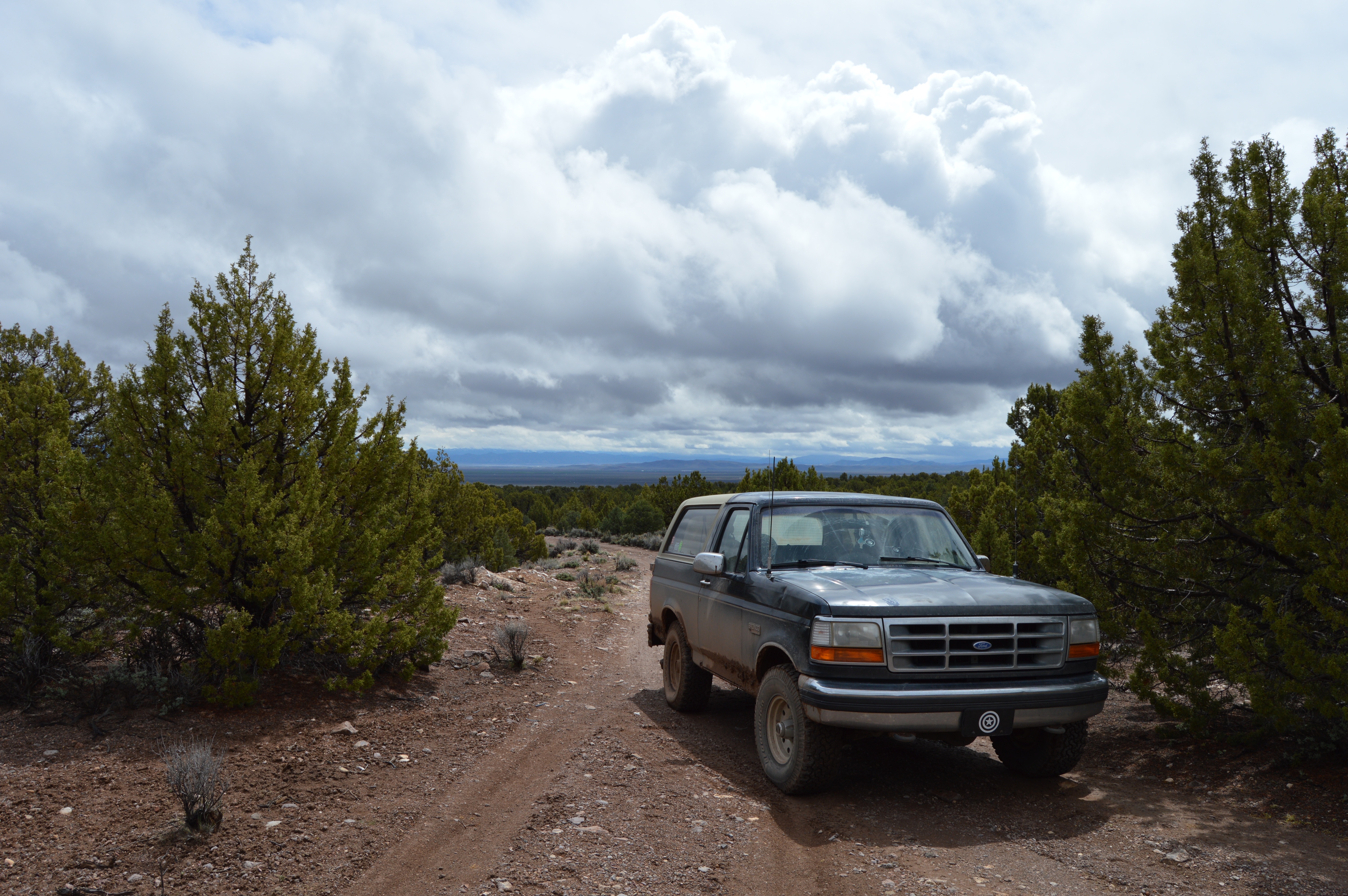
DSC_3809

DSC_3810
DSC_3812
DSC_3813
DSC_3814
DSC_3815
DSC_3816

DSC_3817
DSC_3818

DSC_3820
DSC_3821
DSC_3827
DSC_3828
DSC_3829
DSC_3837
IMG_3380
IMG_3364

IMG_3360
Topographic Map of Modena, UT, USA
Find elevation by address:

Places near Modena, UT, USA:
White Rocks Road
Pine Mountain
Beaver Dam State Park
Dry Valley
Frehner Ranch Rd, Pioche, NV, USA
Beaver Dam Washington
Panaca
Lincoln County High School
Nevada State Park Regional Visitor's Center
Miller Point Trail
Eagle Point
Pioche
590 Pioche St
465 Mccannon St
447 Mccannon St
Lincoln County
Caliente
Highland Peak
Beaver Dam
600 N Alamo Ave
Recent Searches:
- Elevation of Zimmer Trail, Pennsylvania, USA
- Elevation of 87 Kilmartin Ave, Bristol, CT, USA
- Elevation of Honghe National Nature Reserve, QP95+PJP, Tongjiang, Heilongjiang, Jiamusi, Heilongjiang, China
- Elevation of Hercules Dr, Colorado Springs, CO, USA
- Elevation of Szlak pieszy czarny, Poland
- Elevation of Griffing Blvd, Biscayne Park, FL, USA
- Elevation of Kreuzburger Weg 13, Düsseldorf, Germany
- Elevation of Gateway Blvd SE, Canton, OH, USA
- Elevation of East W.T. Harris Boulevard, E W.T. Harris Blvd, Charlotte, NC, USA
- Elevation of West Sugar Creek, Charlotte, NC, USA