Elevation of Beaver Dam Washington, Beaver Dam Wash, Gunlock, UT, USA
Location: United States > Utah > Washington County > Gunlock >
Longitude: -114.00131
Latitude: 37.3742367
Elevation: 1174m / 3852feet
Barometric Pressure: 88KPa
Elevation Map:
Satellite Map:
Related Photos:
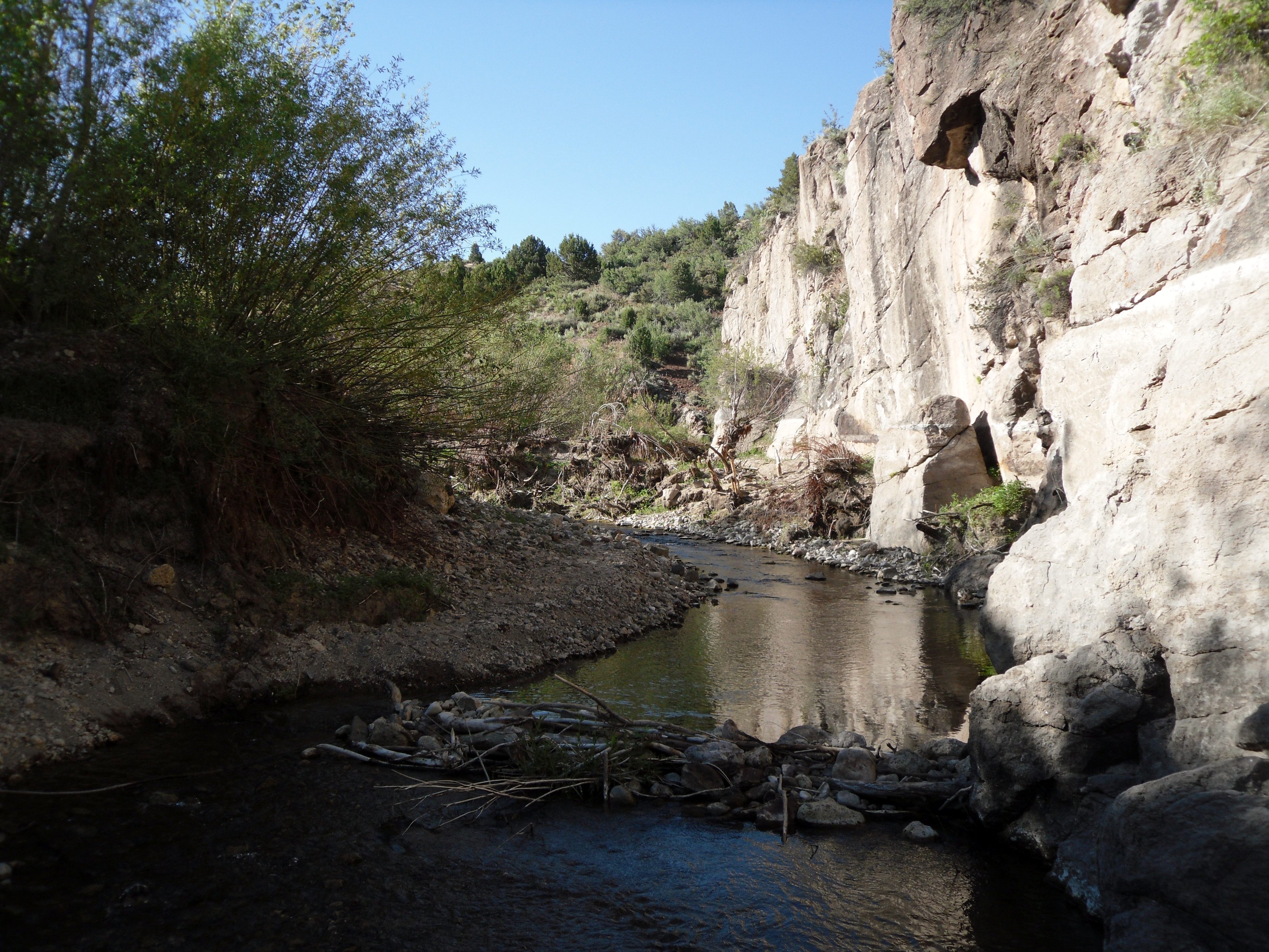
Beaver Dam State Park near the Utah border east of Caliente, Nevada
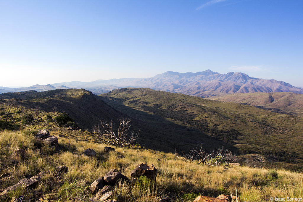
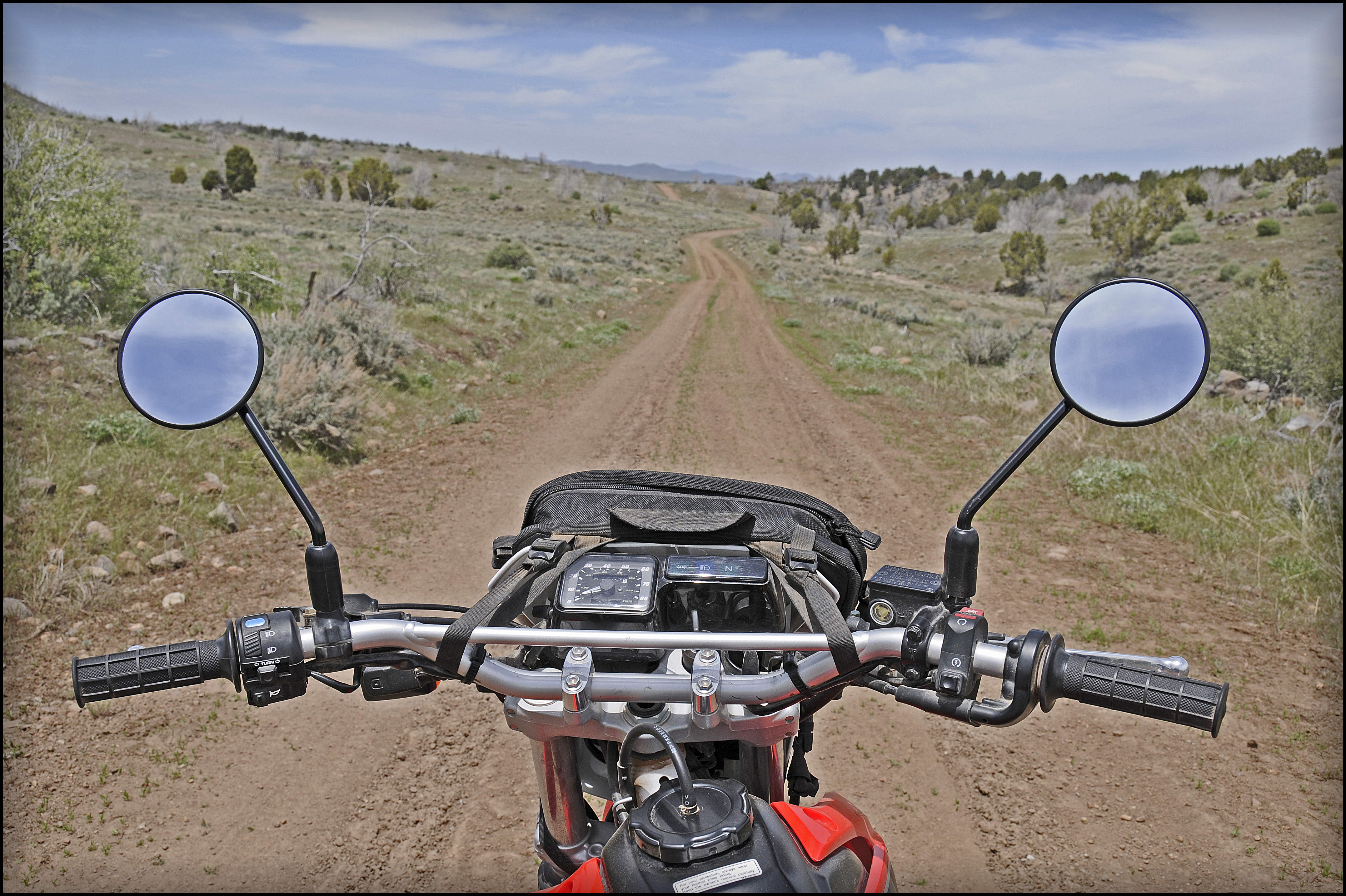
On the Ridge
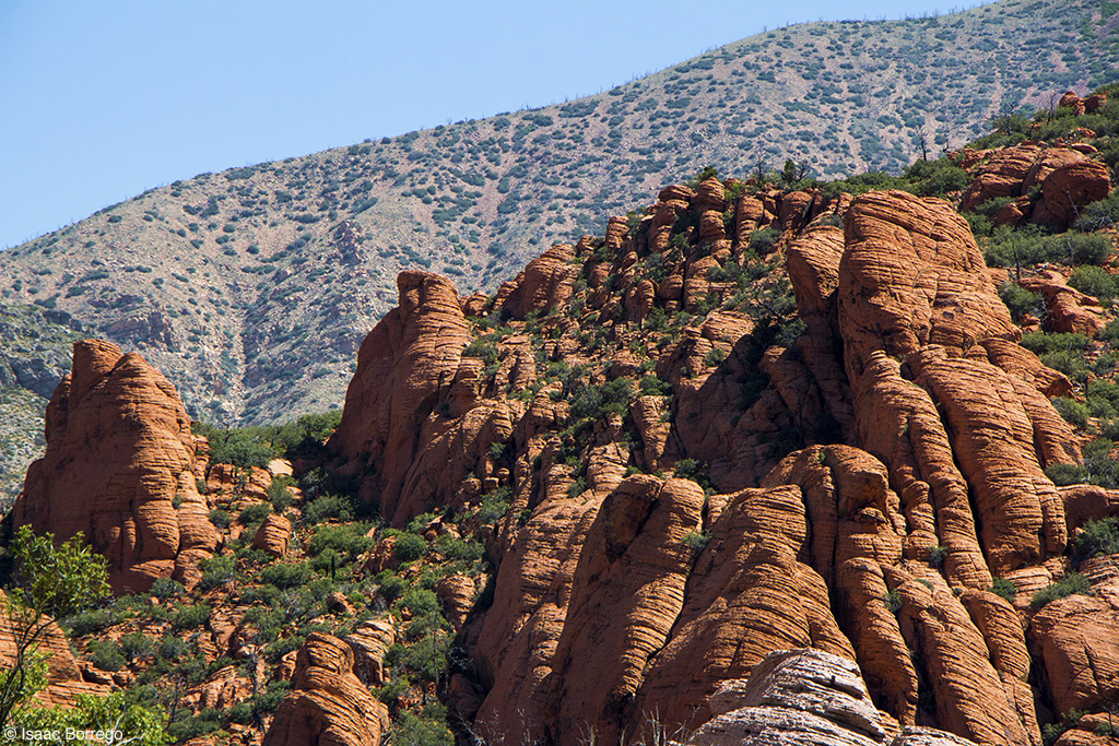
Navajo Sandstone
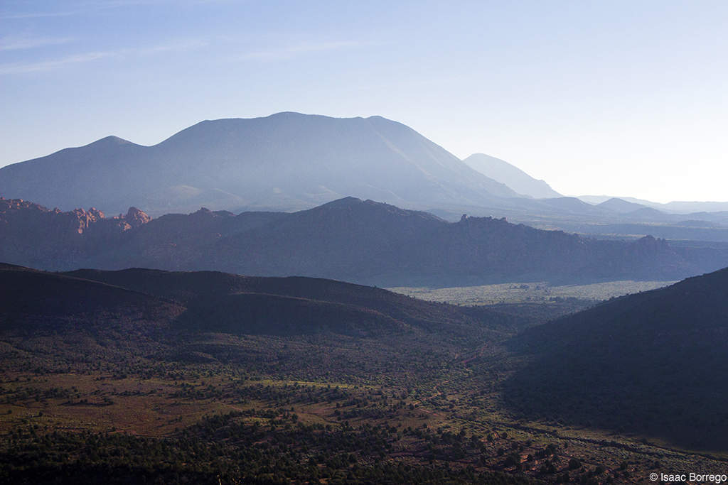
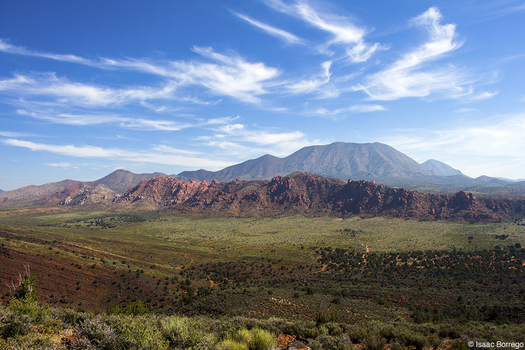
Sunrise on the Beaver Dam Mountains
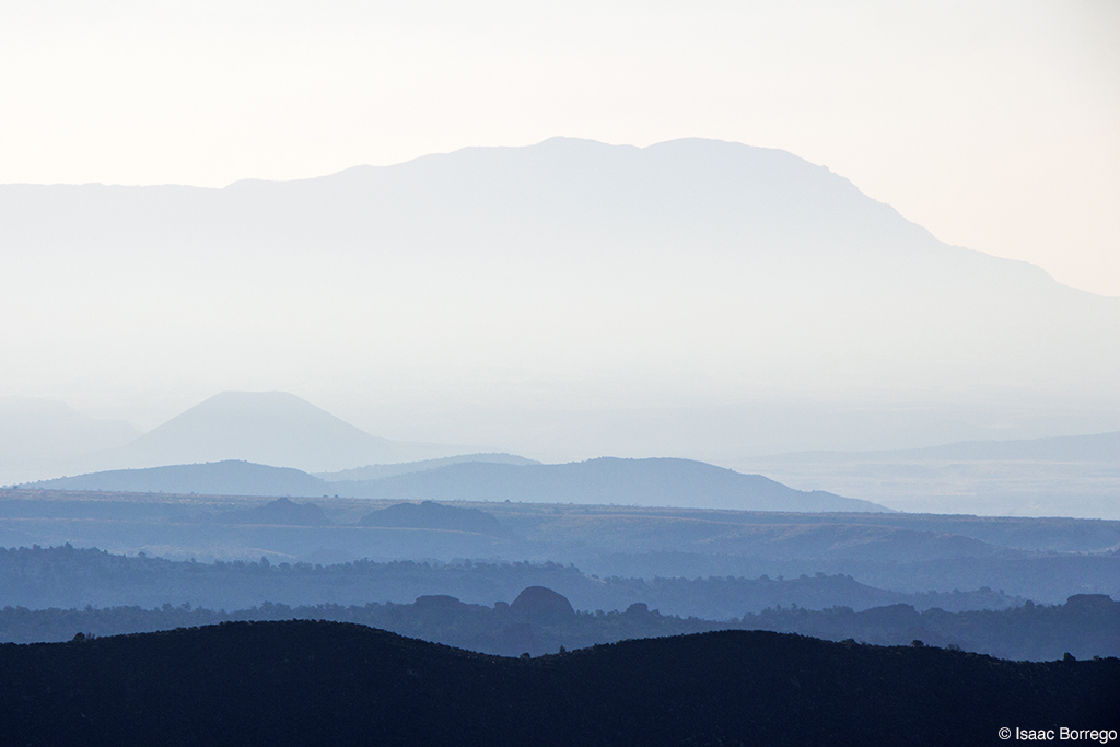
Blue Morning
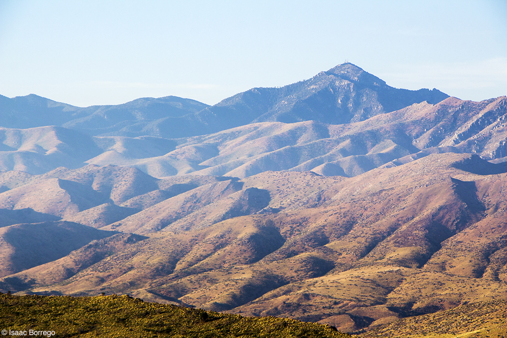
Mountains in Utah
Square Top
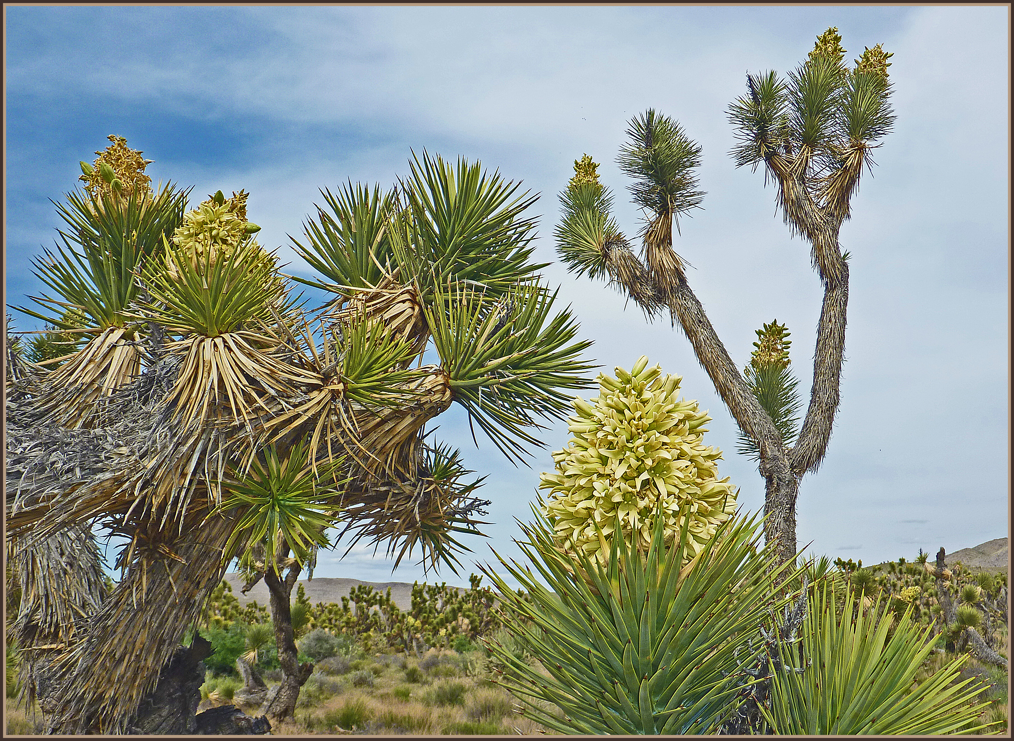
Blossoming Joshua Trees
Exploring the Mojave Desert
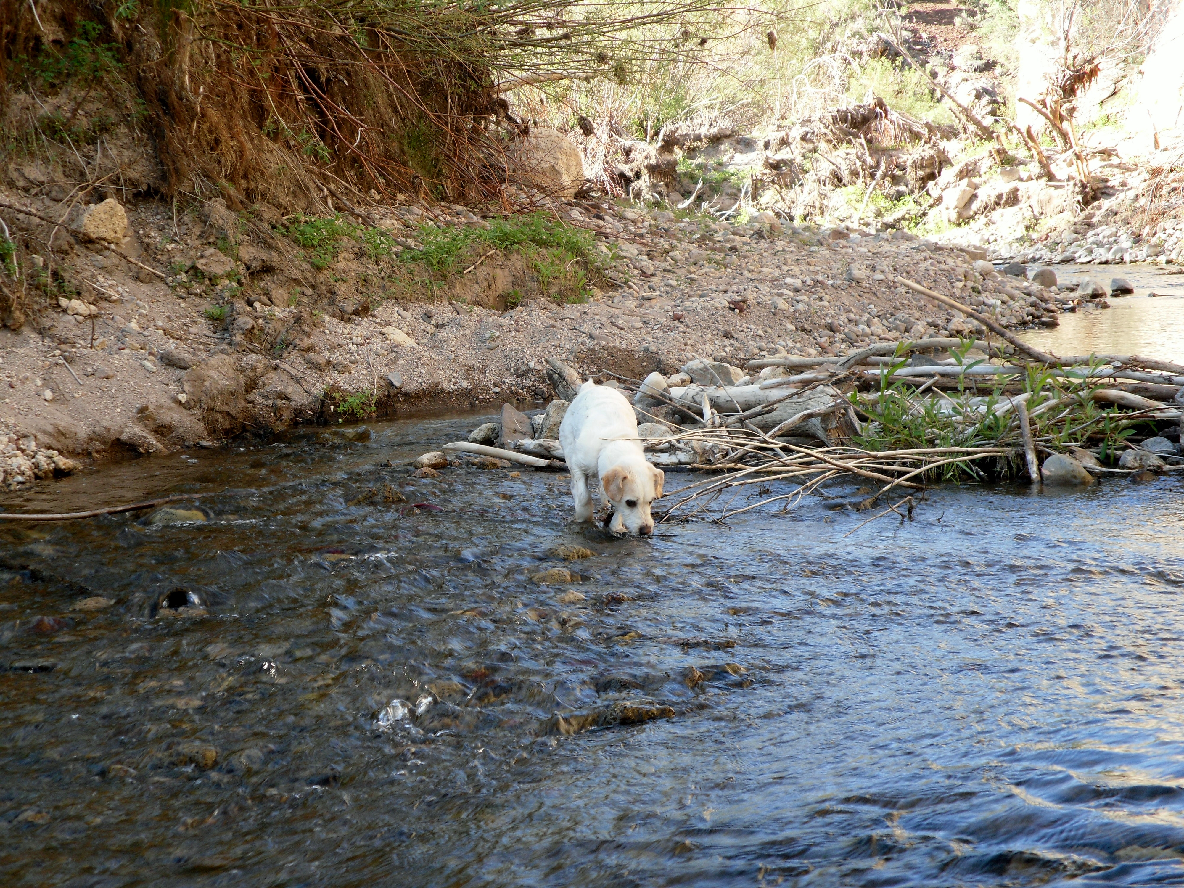
Waylon playing at Beaver Dam State Park near the Utah border east of Caliente, Nevada
Topographic Map of Beaver Dam Washington, Beaver Dam Wash, Gunlock, UT, USA
Find elevation by address:

Places near Beaver Dam Washington, Beaver Dam Wash, Gunlock, UT, USA:
Beaver Dam State Park
Pine Mountain
White Rocks Road
Modena
Beaver Dam
600 N Alamo Ave
725 N Palo Verde Ave
511 N Joshua Tree Ave
Co Hwy 91, Littlefield, AZ, USA
Littlefield
403 Paradise Pkwy
Wolf Creek Golf Club
Conestoga Golf Club
123 Pebble Creek Run
1104 Prairie Schooner Ct
1067 Buckboard Trail
518 Turtleback
Caliente
Panaca
789 Bobcat Run
Recent Searches:
- Elevation of Gateway Blvd SE, Canton, OH, USA
- Elevation of East W.T. Harris Boulevard, E W.T. Harris Blvd, Charlotte, NC, USA
- Elevation of West Sugar Creek, Charlotte, NC, USA
- Elevation of Wayland, NY, USA
- Elevation of Steadfast Ct, Daphne, AL, USA
- Elevation of Lagasgasan, X+CQH, Tiaong, Quezon, Philippines
- Elevation of Rojo Ct, Atascadero, CA, USA
- Elevation of Flagstaff Drive, Flagstaff Dr, North Carolina, USA
- Elevation of Avery Ln, Lakeland, FL, USA
- Elevation of Woolwine, VA, USA