Elevation of Lily Valley Way, West Point, CA, USA
Location: United States > California > Calaveras County > West Point >
Longitude: -120.42974
Latitude: 38.4446481
Elevation: 1192m / 3911feet
Barometric Pressure: 88KPa
Elevation Map:
Satellite Map:
Related Photos:

Carson Pass Sunset

Magical Sunset

Magic Shroom Beetle

Clouds some where over northern California

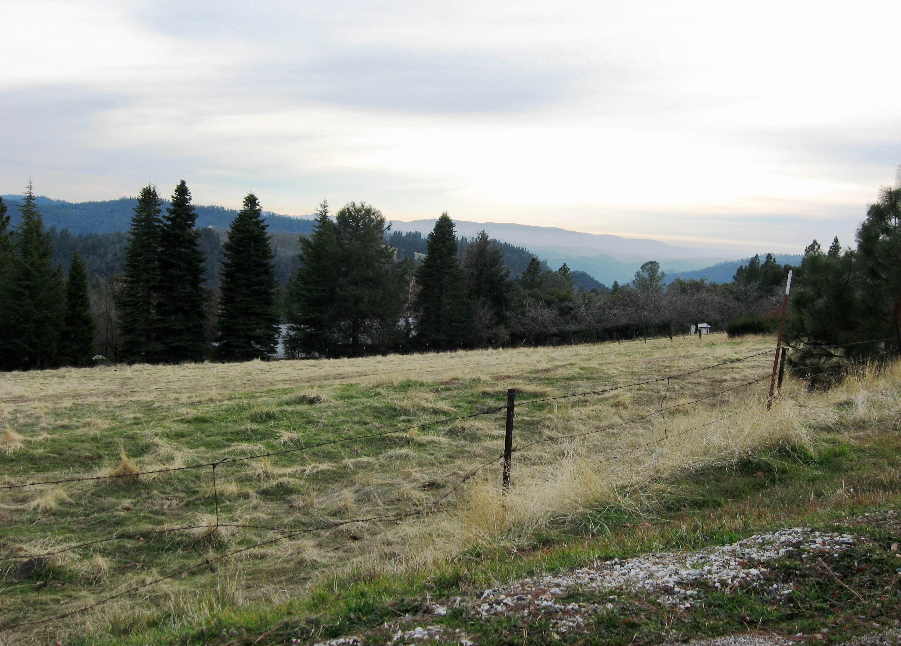
View across the canyon from Omo Ranch Road

View from Omo Road - Tahoe National Forest

Tahoe Forest - View across the canyon Omo Ranch Road

Tahoe Forest - View across the canyon Omo Ranch Road

Tahoe Forest - View across the canyon Omo Ranch Road

Tahoe Forest - View across the canyon Omo Ranch Road

Tahoe Forest - View across the canyon Omo Ranch Road

Nice Mountain View 1
Nice View 3

Nice View 2

Pioneer, California

Fiery sunset

Saturday night

Walking along the Road
PiPi 2008 037

DOS05-045

almost home

Railroad Flat

ATR20130218-1638-185
Snow trip 3/15/08

ATR20130218-1653-198

ATR20130218-1649-195

Sunrise through the trees in Amador County

Walking the pups! So #pretty! Great weather! #mountains

Sunrise through the trees in Amador County
Topographic Map of Lily Valley Way, West Point, CA, USA
Find elevation by address:

Places near Lily Valley Way, West Point, CA, USA:
1267 Lily Valley Way
1267 Lily Valley Way
1320 Lily Valley Cir
1267 Lili Valley Cir
850 Old Rd
3855 Tree Ln
Tree Lane
Bailey Ridge Rd, Wilseyville, CA, USA
3599 Bald Mountain Rd
Tiger Creek Road
2469 Eganoff Ln
2292 Lily Gap Rd
6135 Blue Mountain Rd
Camp Lodestar United Methodist
182 Robinville Dr
1546 Hidden Valley Rd
16586 Carolyn Ct
5687 Gold Trail
5637 Gold Trail
2006 Skull Flat Rd
Recent Searches:
- Elevation of 72-31 Metropolitan Ave, Middle Village, NY, USA
- Elevation of 76 Metropolitan Ave, Brooklyn, NY, USA
- Elevation of Alisal Rd, Solvang, CA, USA
- Elevation of Vista Blvd, Sparks, NV, USA
- Elevation of 15th Ave SE, St. Petersburg, FL, USA
- Elevation of Beall Road, Beall Rd, Florida, USA
- Elevation of Leguwa, Nepal
- Elevation of County Rd, Enterprise, AL, USA
- Elevation of Kolchuginsky District, Vladimir Oblast, Russia
- Elevation of Shustino, Vladimir Oblast, Russia