Elevation of Bailey Ridge Rd, Wilseyville, CA, USA
Location: United States > California > Calaveras County >
Longitude: -120.42637
Latitude: 38.395224
Elevation: 1056m / 3465feet
Barometric Pressure: 89KPa
Elevation Map:
Satellite Map:
Related Photos:

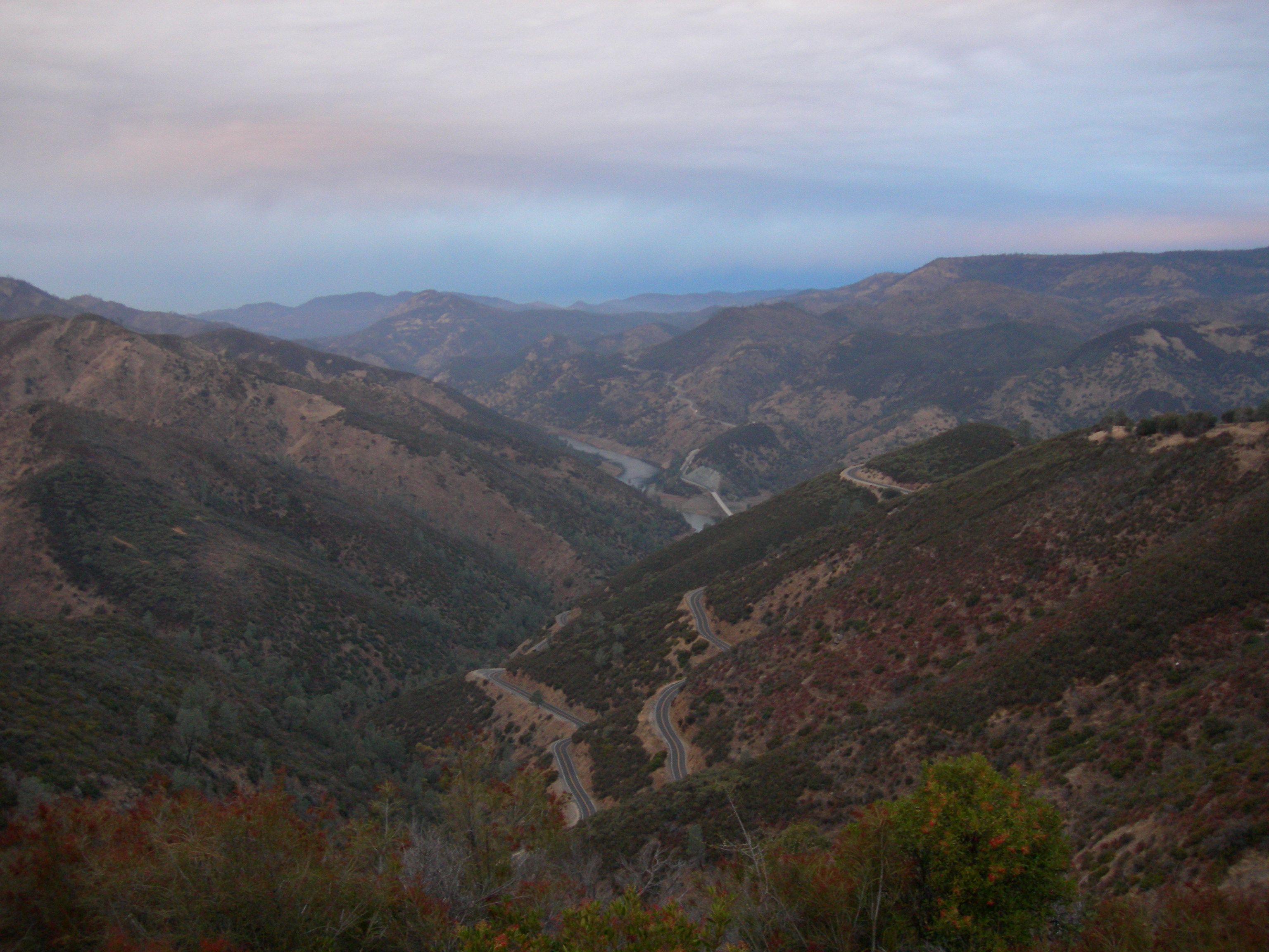
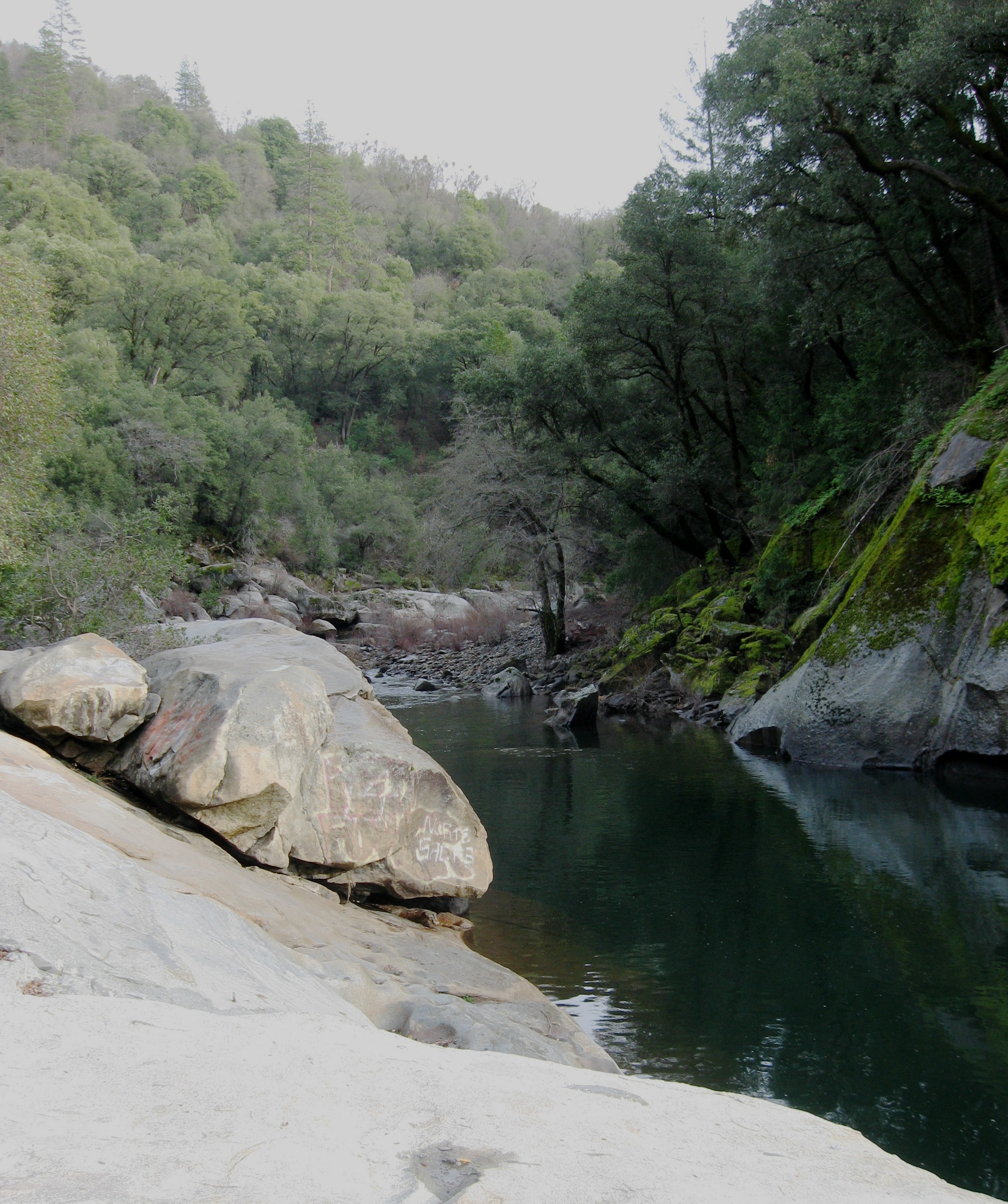
Tahoe Forest - View across the canyon Omo Ranch Road

Tahoe Forest - View across the canyon Omo Ranch Road
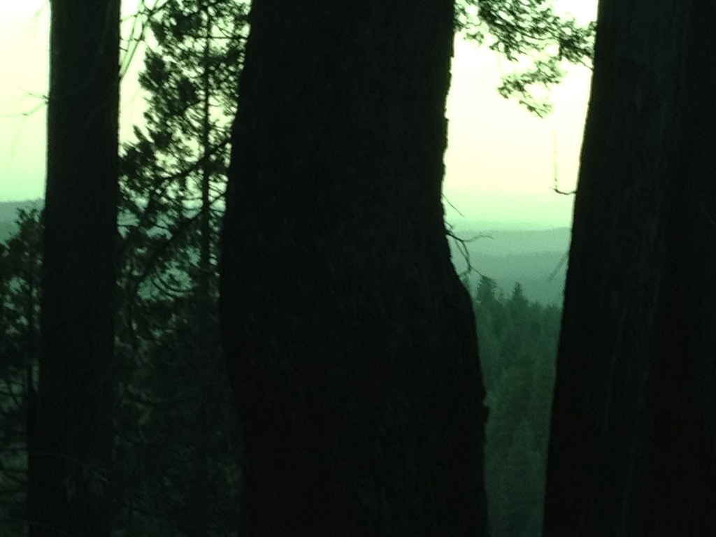
Tahoe Forest - View across the canyon Omo Ranch Road
Tahoe Forest - View across the canyon Omo Ranch Road

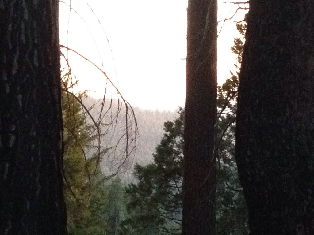
View across the canyon from Omo Ranch Road

View from Omo Road - Tahoe National Forest
Tahoe Forest - View across the canyon Omo Ranch Road

Clouds some where over northern California

Magic Shroom Beetle

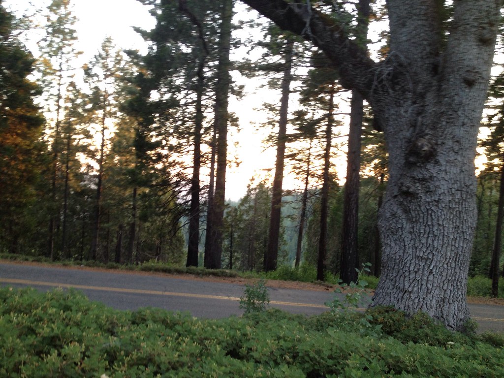
Nice Mountain View 1
Nice View 2
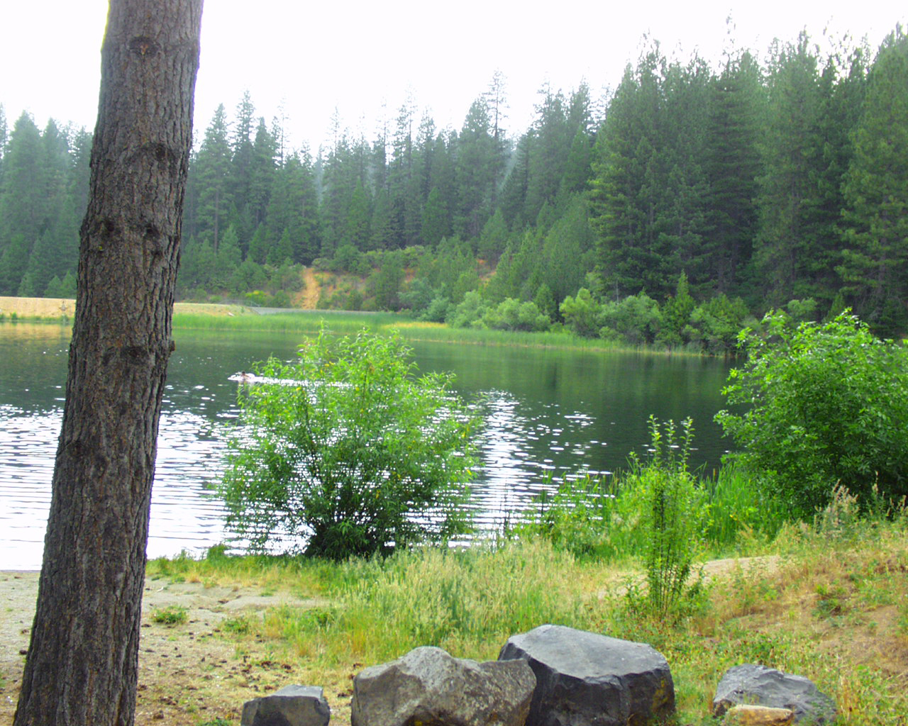
White Pines Lake
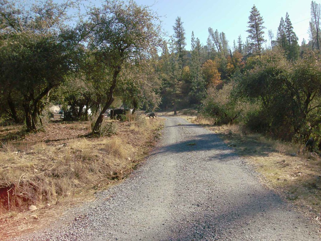
Triple Oaks Dr.
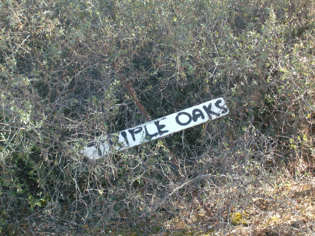
Triple Oaks Dr. Street Sign

Nice View 3
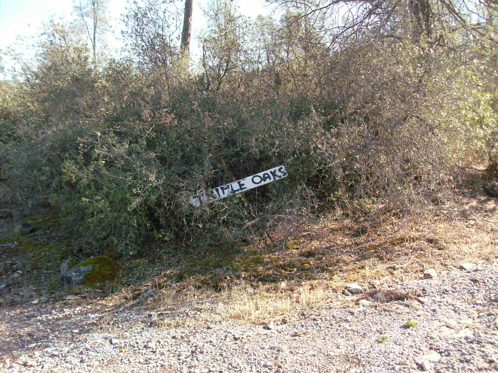
Triple Oaks Dr. Street Sign

Arnold Rim Trail

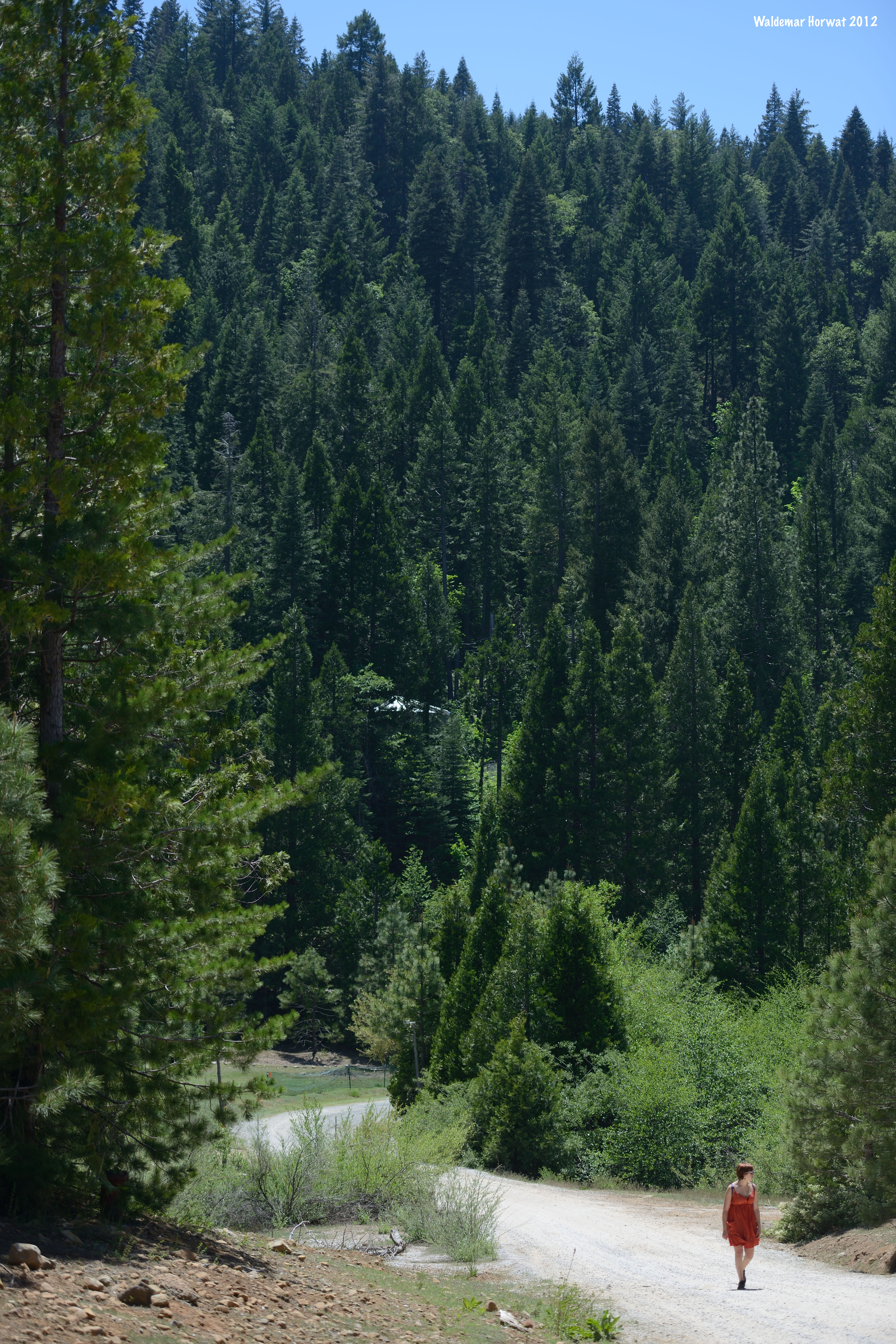
almost home

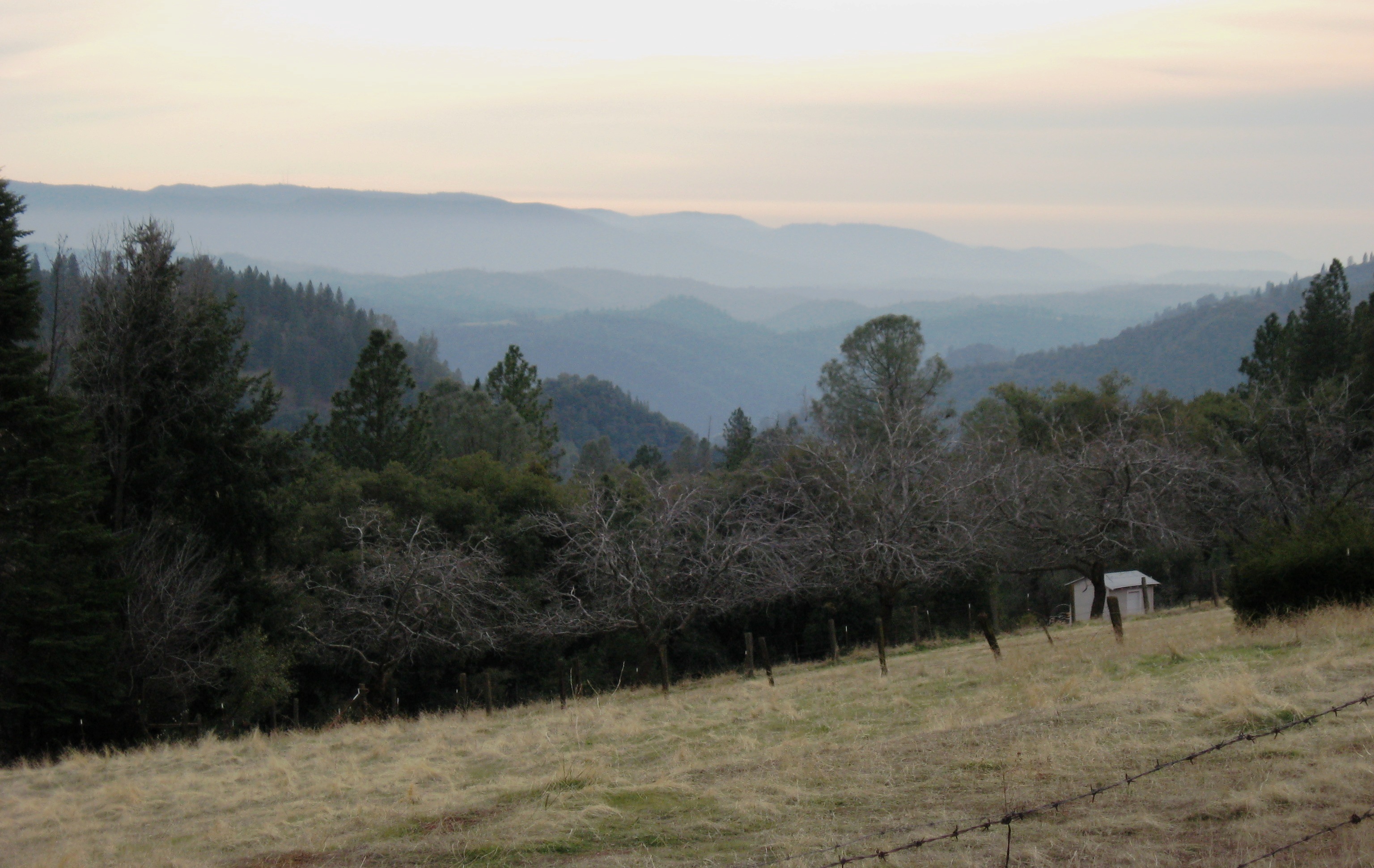
Sunrise through the trees in Amador County

_8130126.NEF

_8120109.NEF

_8130125.NEF
2005 - 11 - USA & Canada - 176 - -Pine Ridge, Fremont's Fort
Walking along the Road

2005 - 11 - USA & Canada - 177 - Pine Ridge, Fremont's Fort
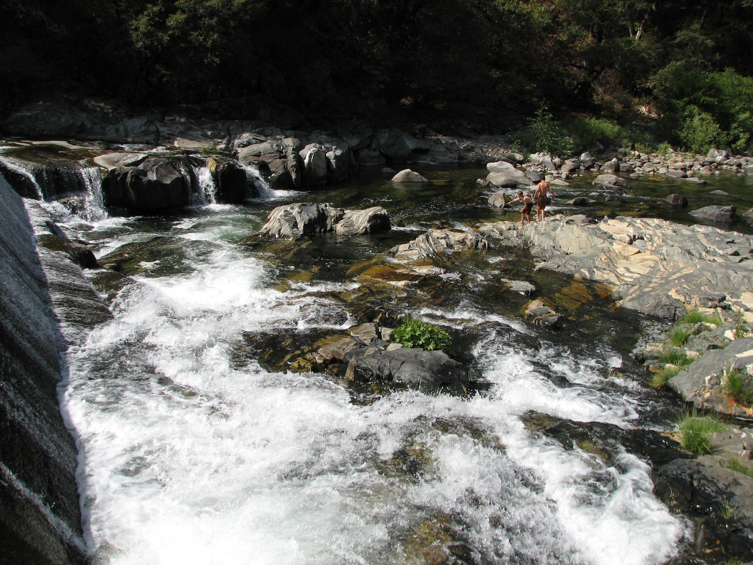
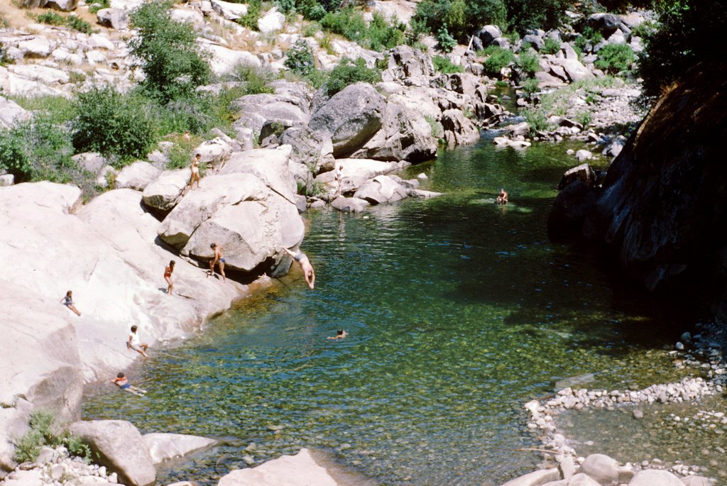
Tiger Creek swimming
DOS05-045
Can we walk over there?

Sunrise through the trees in Amador County

Sunrise through the trees in Amador County
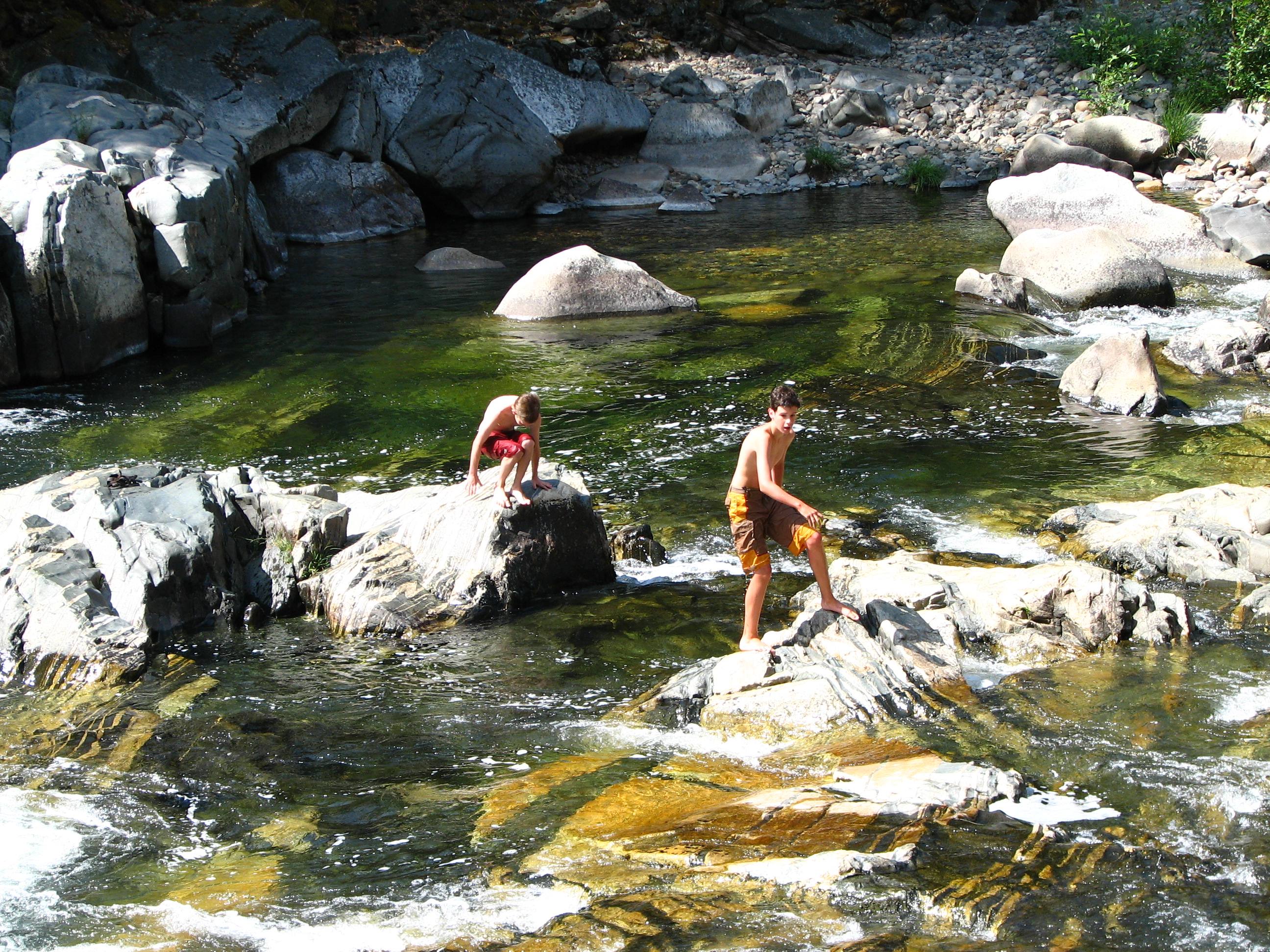
Tiger Creek swimming
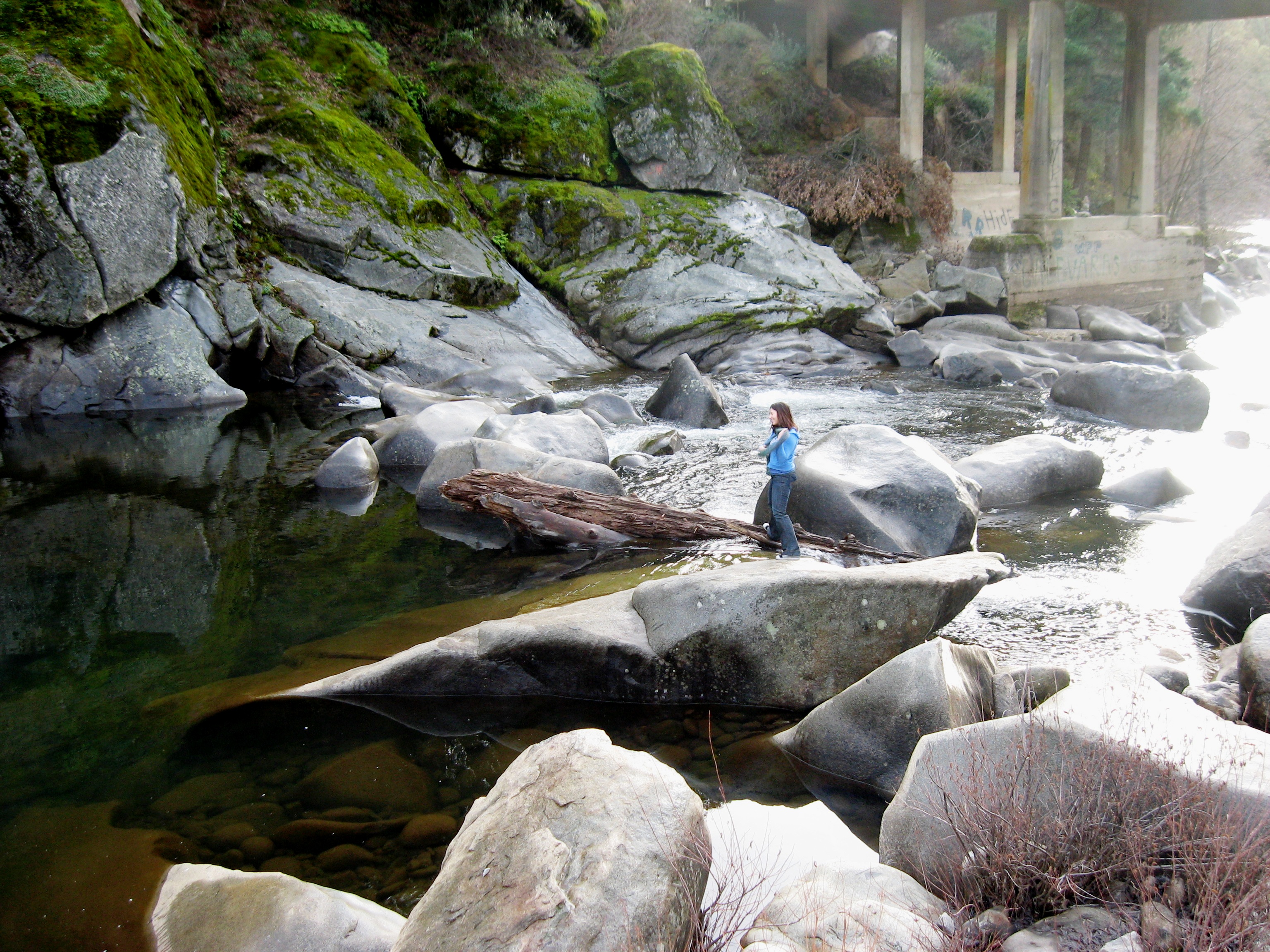
Where is she going?
Topographic Map of Bailey Ridge Rd, Wilseyville, CA, USA
Find elevation by address:

Places near Bailey Ridge Rd, Wilseyville, CA, USA:
Camp Lodestar United Methodist
6135 Blue Mountain Rd
Mitchell Mill Road
850 Old Rd
3599 Bald Mountain Rd
1267 Lili Valley Cir
1320 Lily Valley Cir
1267 Lily Valley Way
1267 Lily Valley Way
1303 Lily Valley Way
5637 Gold Trail
5687 Gold Trail
Fine Gold Rd, Mokelumne Hill, CA, USA
2469 Eganoff Ln
3855 Tree Ln
Tree Lane
182 Robinville Dr
4300 Blue Mountain Rd
2292 Lily Gap Rd
4176 Blue Mountain Rd
Recent Searches:
- Elevation of Corso Fratelli Cairoli, 35, Macerata MC, Italy
- Elevation of Tallevast Rd, Sarasota, FL, USA
- Elevation of 4th St E, Sonoma, CA, USA
- Elevation of Black Hollow Rd, Pennsdale, PA, USA
- Elevation of Oakland Ave, Williamsport, PA, USA
- Elevation of Pedrógão Grande, Portugal
- Elevation of Klee Dr, Martinsburg, WV, USA
- Elevation of Via Roma, Pieranica CR, Italy
- Elevation of Tavkvetili Mountain, Georgia
- Elevation of Hartfords Bluff Cir, Mt Pleasant, SC, USA