Elevation of Lili Valley Cir, West Point, CA, USA
Location: United States > California > Calaveras County > West Point >
Longitude: -120.43263
Latitude: 38.4392489
Elevation: 1170m / 3839feet
Barometric Pressure: 88KPa
Elevation Map:
Satellite Map:
Related Photos:
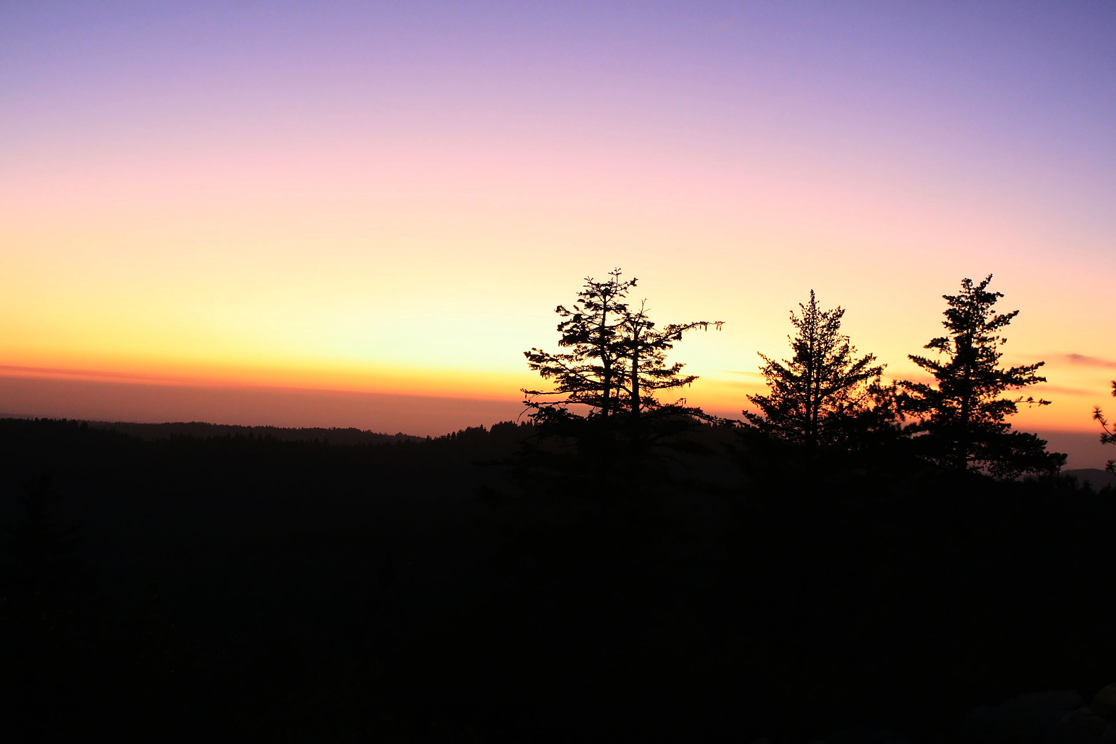
Magical Sunset
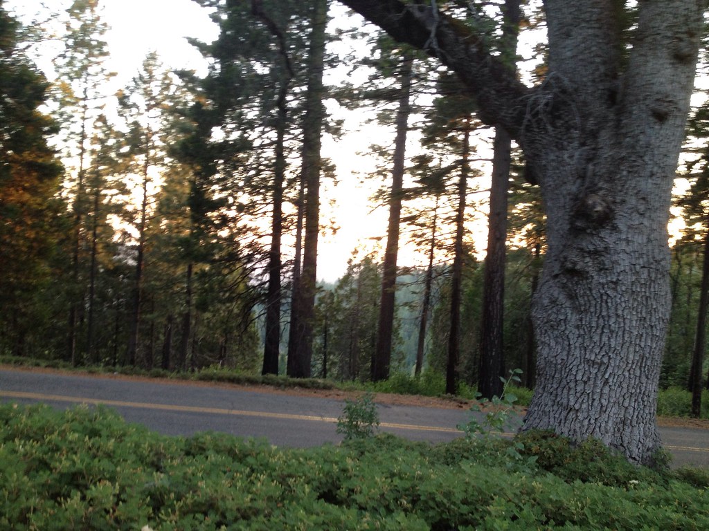
Tahoe Forest - View across the canyon Omo Ranch Road

Magic Shroom Beetle

Clouds some where over northern California

Tahoe Forest - View across the canyon Omo Ranch Road

Tahoe Forest - View across the canyon Omo Ranch Road
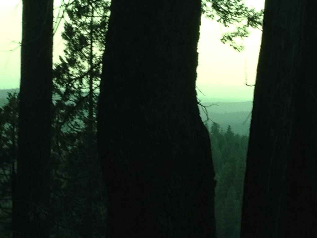
Tahoe Forest - View across the canyon Omo Ranch Road

Nice Mountain View 1

Nice View 3
Saturday night

_8130152.NEF

_8120109.NEF
ATR20130218-1649-195

_8120111.NEF
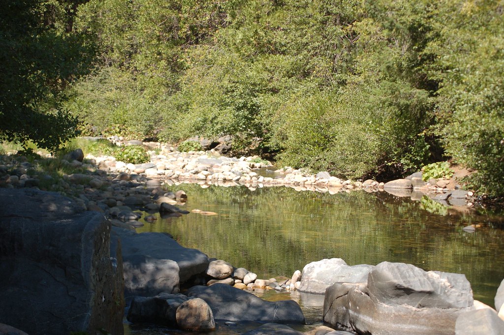
Tiger Creek swimming

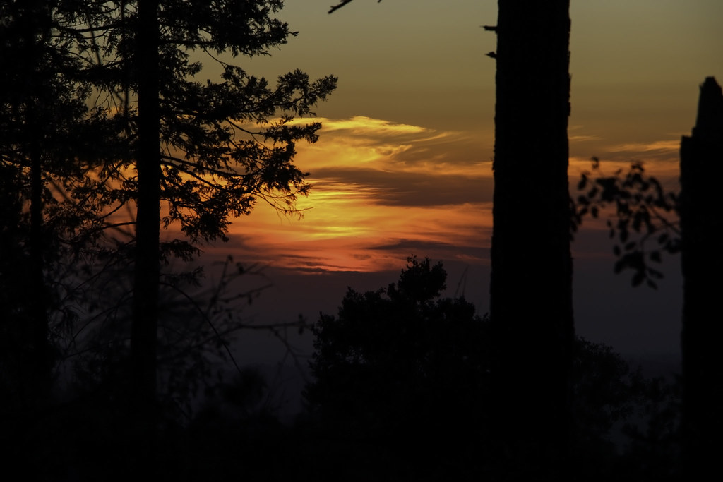
Fiery sunset
ATR20130218-1627-177

almost home
Railroad Flat
PiPi 2008 302
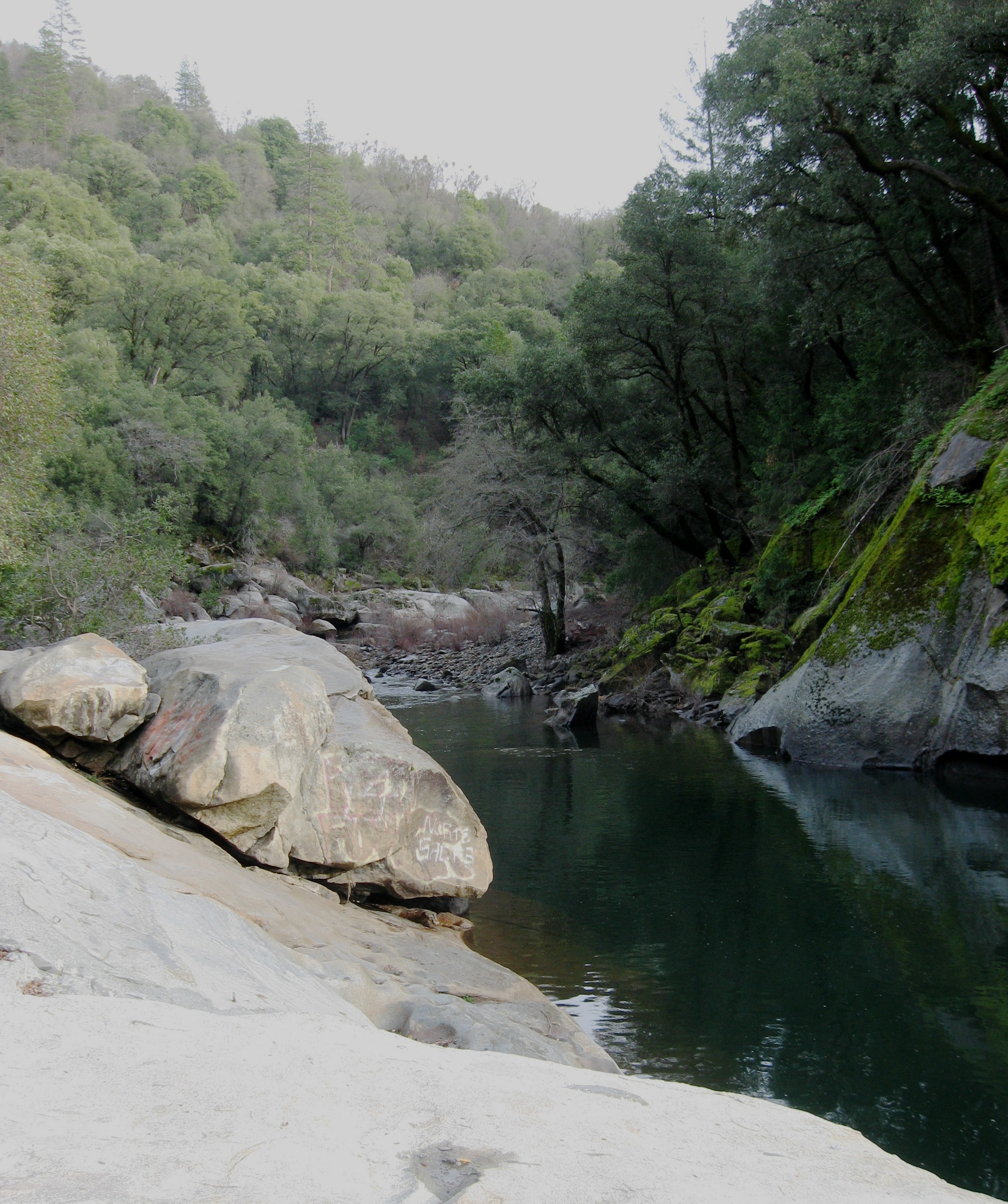
Can we walk over there?

Sunrise through the trees in Amador County
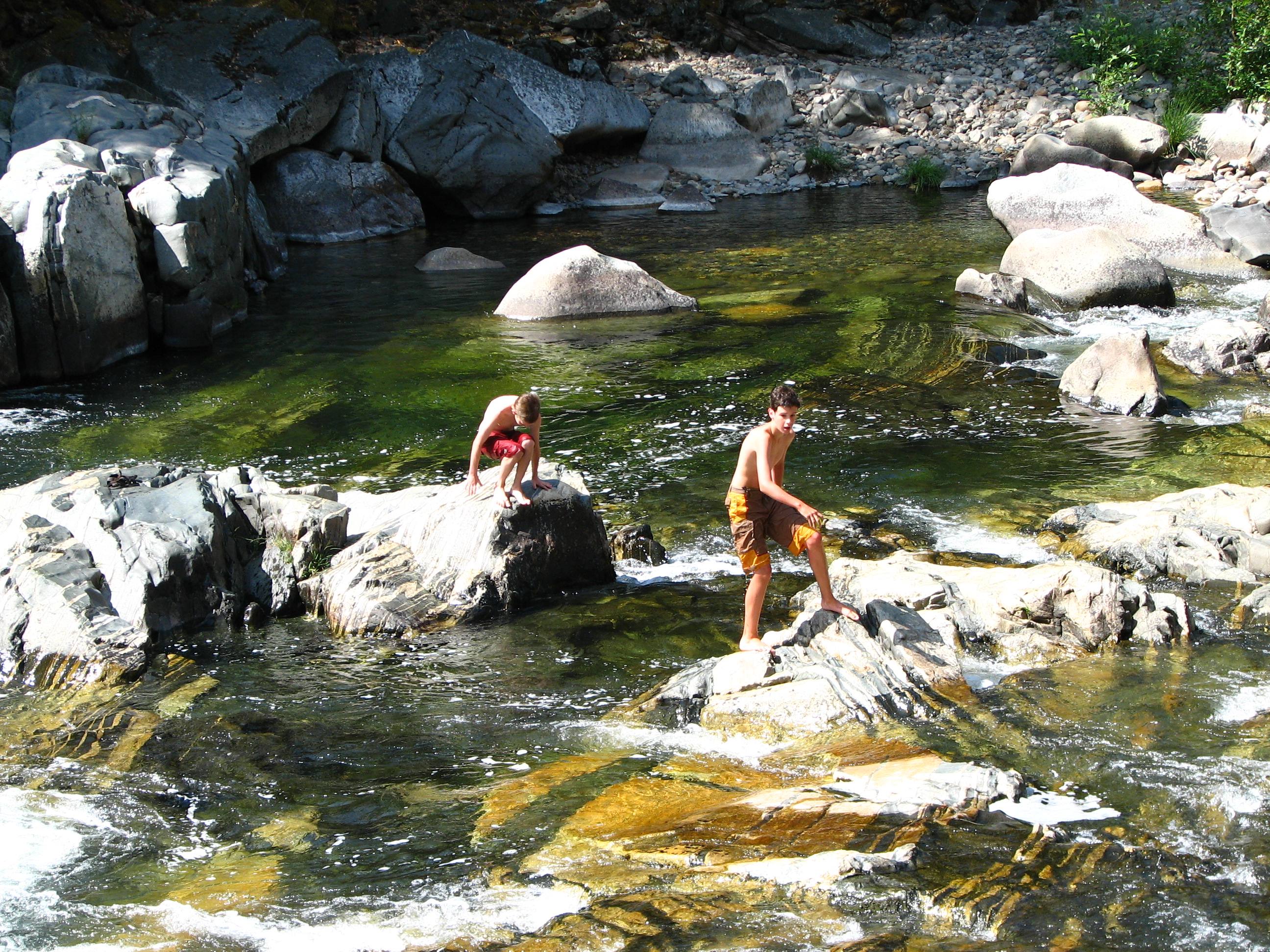
Tiger Creek swimming

Sunrise through the trees in Amador County
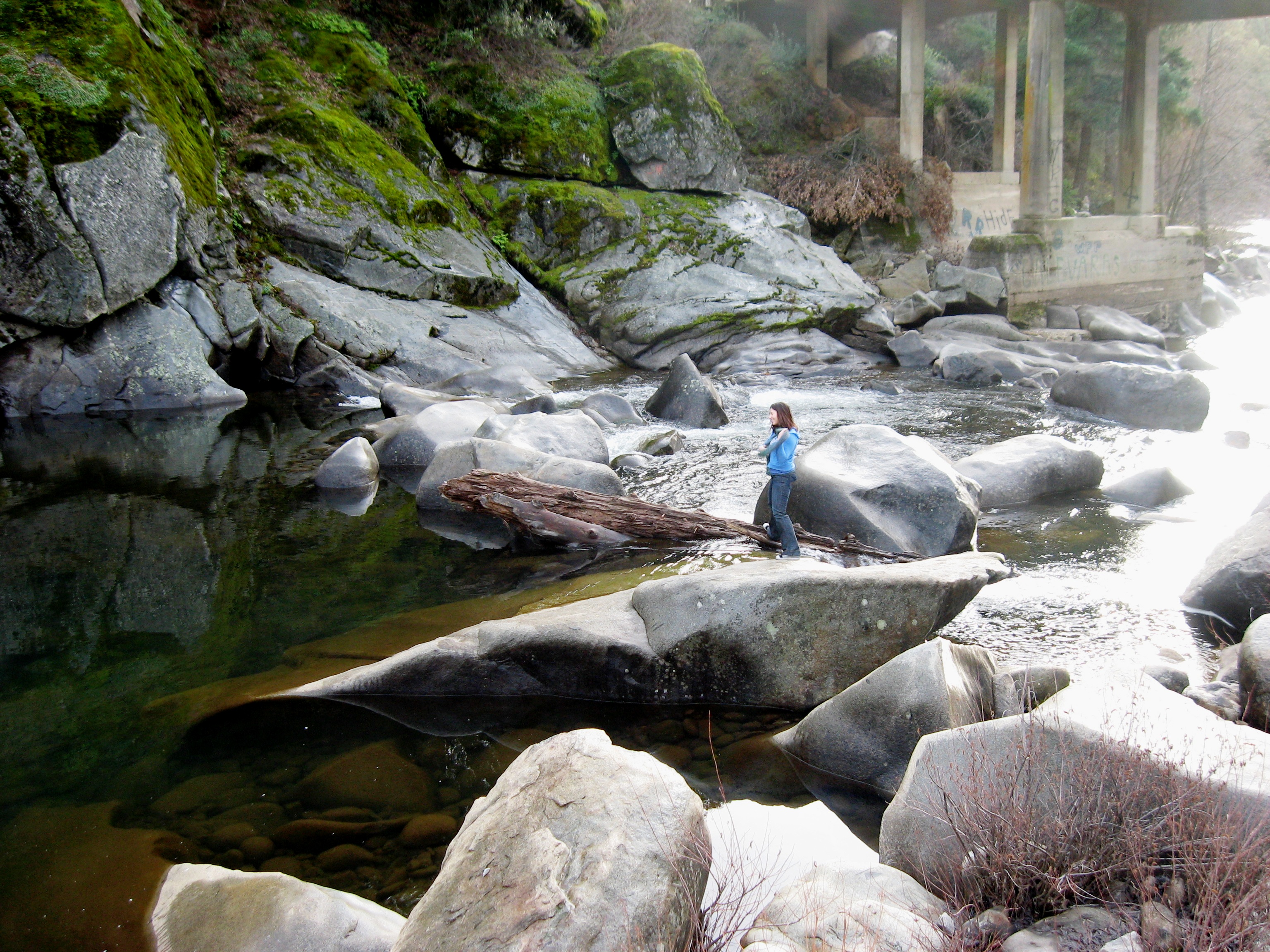
Where is she going?
ATR20130218-1644-190
ATR20130218-1648-194
Topographic Map of Lili Valley Cir, West Point, CA, USA
Find elevation by address:

Places near Lili Valley Cir, West Point, CA, USA:
1320 Lily Valley Cir
1303 Lily Valley Way
1267 Lily Valley Way
1267 Lily Valley Way
850 Old Rd
3855 Tree Ln
Bailey Ridge Rd, Wilseyville, CA, USA
Tree Lane
3599 Bald Mountain Rd
2469 Eganoff Ln
Tiger Creek Road
2292 Lily Gap Rd
6135 Blue Mountain Rd
Camp Lodestar United Methodist
182 Robinville Dr
1546 Hidden Valley Rd
5687 Gold Trail
5637 Gold Trail
16586 Carolyn Ct
Mitchell Mill Road
Recent Searches:
- Elevation of Vista Blvd, Sparks, NV, USA
- Elevation of 15th Ave SE, St. Petersburg, FL, USA
- Elevation of Beall Road, Beall Rd, Florida, USA
- Elevation of Leguwa, Nepal
- Elevation of County Rd, Enterprise, AL, USA
- Elevation of Kolchuginsky District, Vladimir Oblast, Russia
- Elevation of Shustino, Vladimir Oblast, Russia
- Elevation of Lampiasi St, Sarasota, FL, USA
- Elevation of Elwyn Dr, Roanoke Rapids, NC, USA
- Elevation of Congressional Dr, Stevensville, MD, USA