Elevation of Lilly Hill, Pawlet, VT, USA
Location: United States > Vermont > Rutland County > Pawlet >
Longitude: -73.113922
Latitude: 43.393833
Elevation: 439m / 1440feet
Barometric Pressure: 96KPa
Elevation Map:
Satellite Map:
Related Photos:

NREX #4211, VTR 312, & GMRC #305 South at Dorset, VT

2D-19x19T6PG
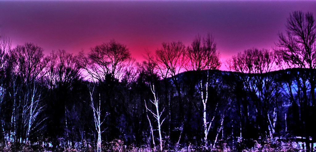
Pink Sunrise
Pawlet Sunrise
Pawlet Sunrise

Ice Droplets
A Little bit of color

After The Storm

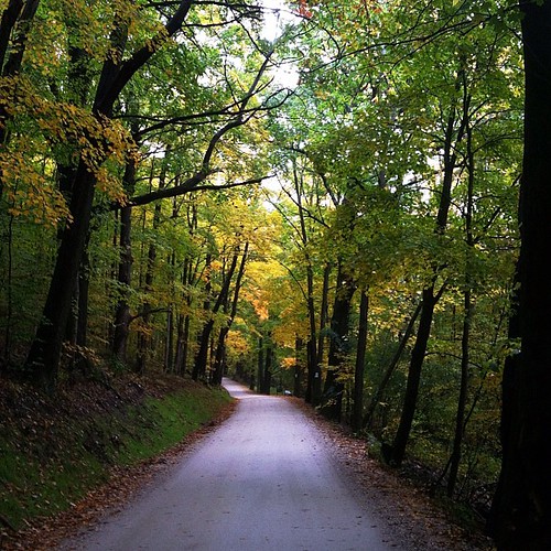
Through the Branches

Over The Lake
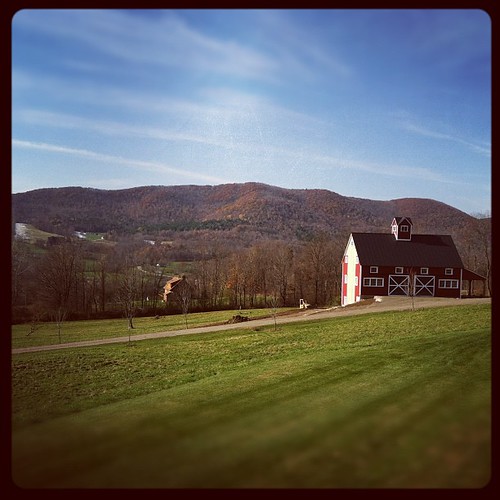
Barn at Sunrise

Starry night
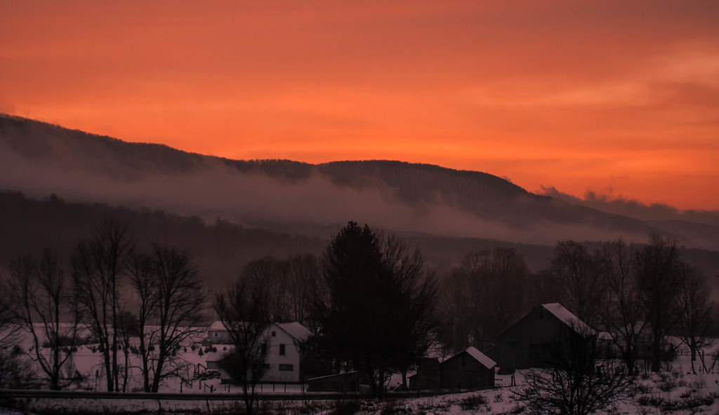
Misty Sunrise

On Fire
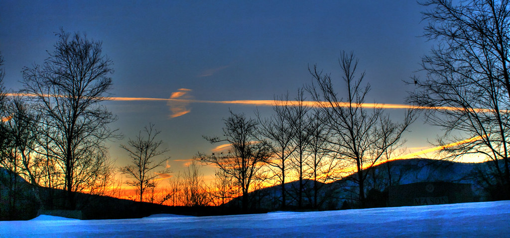
Winter Light

Strips of colors

Winter Shadows
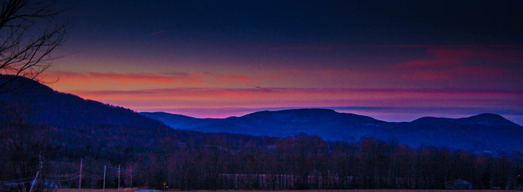
Sunset Panorama

Into the sunset

Sunset in Winter

10/21/12 Sunset
#howtobeblack in #vt with @thewheelmccoy
Heading for a midday hike. Followed by a midday-get-poured-on-while-hiking. #latergram

Lungs bursting.....

Fiery clouds
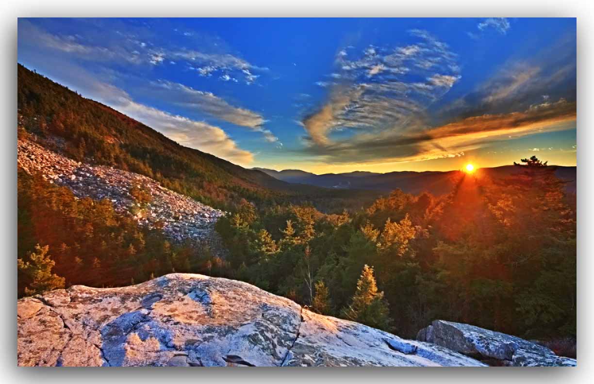
White Rocks Sunset - HDR

White Rocks Overlook
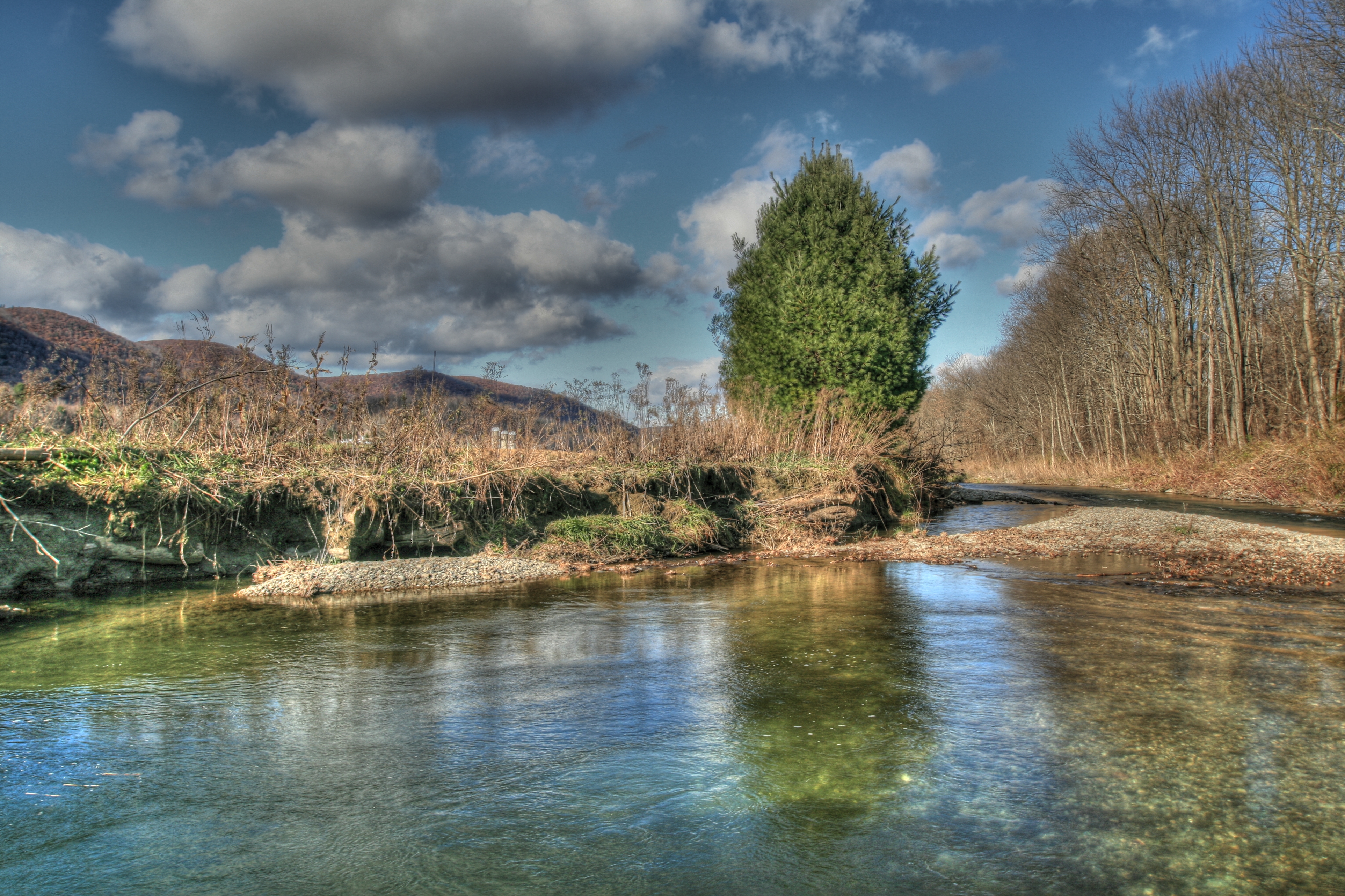
Mettowee River 5

Orange sunset (Explored)

Autumn color in Vermont
Topographic Map of Lilly Hill, Pawlet, VT, USA
Find elevation by address:

Places near Lilly Hill, Pawlet, VT, USA:
2114 Lilly Hill
3452 Green Hill Rd
340 Maple Ridge
Danby
74 W Shore Dr
3582 Danby Mountain Rd
1724 Danby Hill Rd
4201 W Hill Rd
1404 Danby Hill Rd
296 Colvin Hill Rd
875 N Main St
341 Danby Mt Rd
485 Brook Rd
5055 Vt-30
61 S Main St, Danby, VT, USA
Township Highway 35
341 Pinnacle Ln
341 Pinnacle Ln
Turkey Run Lane
Dorset Hollow Road
Recent Searches:
- Elevation of 6 Rue Jules Ferry, Beausoleil, France
- Elevation of Sattva Horizon, 4JC6+G9P, Vinayak Nagar, Kattigenahalli, Bengaluru, Karnataka, India
- Elevation of Great Brook Sports, Gold Star Hwy, Groton, CT, USA
- Elevation of 10 Mountain Laurels Dr, Nashua, NH, USA
- Elevation of 16 Gilboa Ln, Nashua, NH, USA
- Elevation of Laurel Rd, Townsend, TN, USA
- Elevation of 3 Nestling Wood Dr, Long Valley, NJ, USA
- Elevation of Ilungu, Tanzania
- Elevation of Yellow Springs Road, Yellow Springs Rd, Chester Springs, PA, USA
- Elevation of Rēzekne Municipality, Latvia