Elevation of Lilly Hill, Pawlet, VT, USA
Location: United States > Vermont > Rutland County > Pawlet >
Longitude: -73.112778
Latitude: 43.391571
Elevation: 433m / 1421feet
Barometric Pressure: 96KPa
Elevation Map:
Satellite Map:
Related Photos:
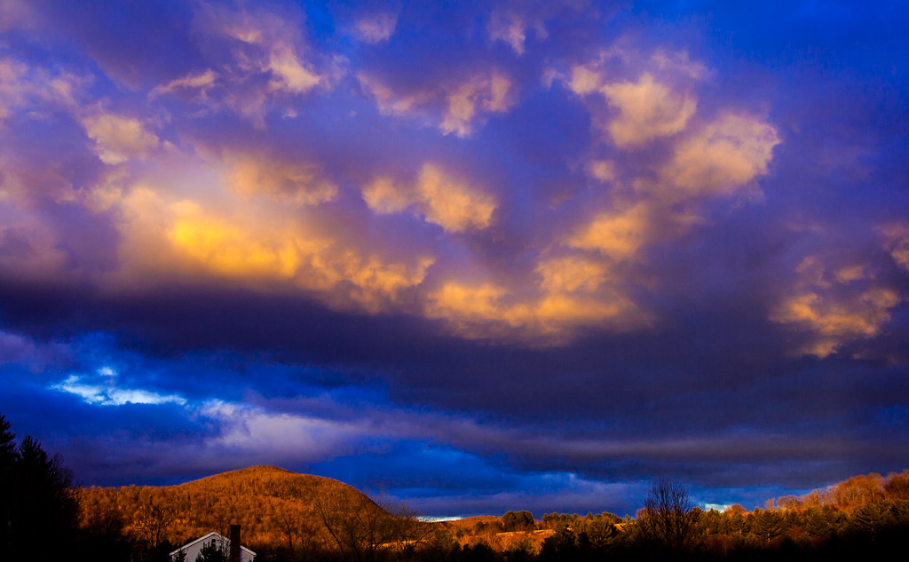
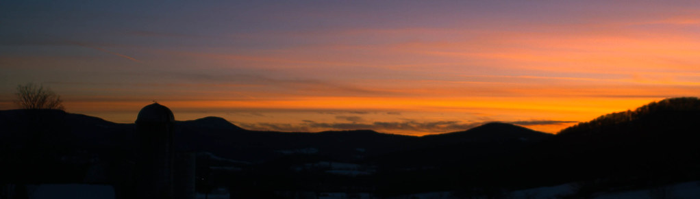
Sunset Glow
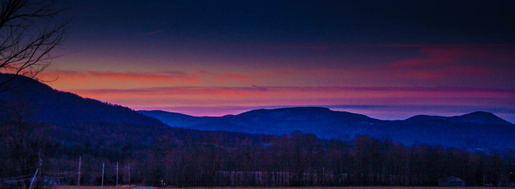
Pink Sunrise
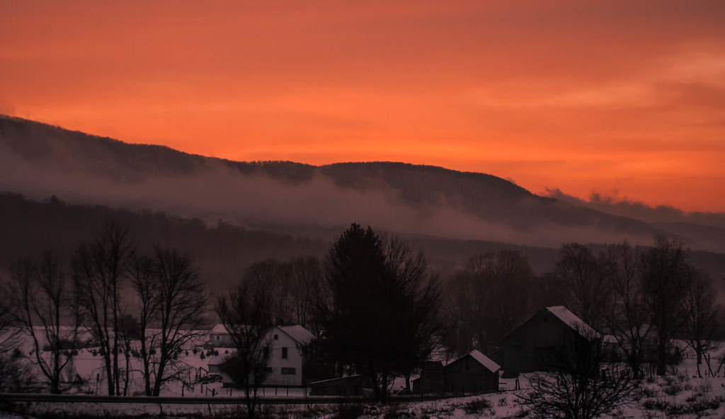
Pawlet Sunrise
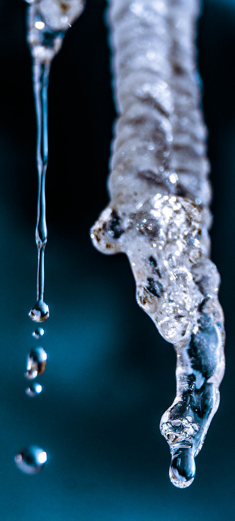
Ice Droplets
Pawlet Sunrise
A Little bit of color

Through the Branches

After The Storm

Over The Lake

Sunrise Over the mountain

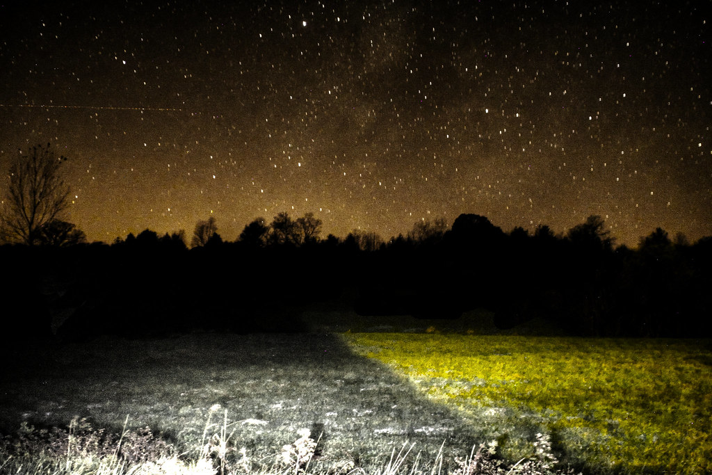
Starry night
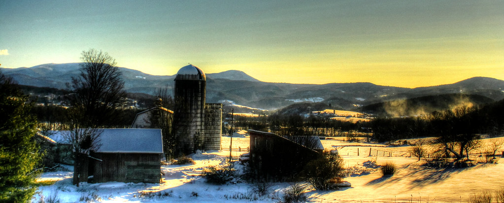
Barn at Sunrise
Misty Sunrise

10/22/12 sunset III

Before sunset

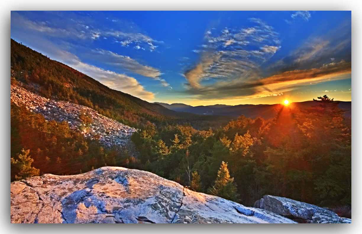
On Fire
Winter Light

Winter Shadows
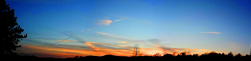
Strips of colors
Sunset Panorama

Into the sunset
White Rocks Sunset - HDR

Orange sunset (Explored)

Barn at sunset(Explored)
Night Sky

10/21/12 Sunset

Sunset(explored)
Topographic Map of Lilly Hill, Pawlet, VT, USA
Find elevation by address:

Places near Lilly Hill, Pawlet, VT, USA:
2255 Lilly Hill
3452 Green Hill Rd
340 Maple Ridge
Danby
74 W Shore Dr
3582 Danby Mountain Rd
1724 Danby Hill Rd
4201 W Hill Rd
1404 Danby Hill Rd
296 Colvin Hill Rd
875 N Main St
341 Danby Mt Rd
485 Brook Rd
5055 Vt-30
61 S Main St, Danby, VT, USA
Township Highway 35
341 Pinnacle Ln
341 Pinnacle Ln
Turkey Run Lane
Dorset Hollow Road
Recent Searches:
- Elevation of 6 Rue Jules Ferry, Beausoleil, France
- Elevation of Sattva Horizon, 4JC6+G9P, Vinayak Nagar, Kattigenahalli, Bengaluru, Karnataka, India
- Elevation of Great Brook Sports, Gold Star Hwy, Groton, CT, USA
- Elevation of 10 Mountain Laurels Dr, Nashua, NH, USA
- Elevation of 16 Gilboa Ln, Nashua, NH, USA
- Elevation of Laurel Rd, Townsend, TN, USA
- Elevation of 3 Nestling Wood Dr, Long Valley, NJ, USA
- Elevation of Ilungu, Tanzania
- Elevation of Yellow Springs Road, Yellow Springs Rd, Chester Springs, PA, USA
- Elevation of Rēzekne Municipality, Latvia