Elevation of Lighthouse Beach Rd, Port Lavaca, TX, USA
Location: United States > Texas > Calhoun County > Port Lavaca >
Longitude: -96.618577
Latitude: 28.6343965
Elevation: -10000m / -32808feet
Barometric Pressure: 295KPa
Elevation Map:
Satellite Map:
Related Photos:

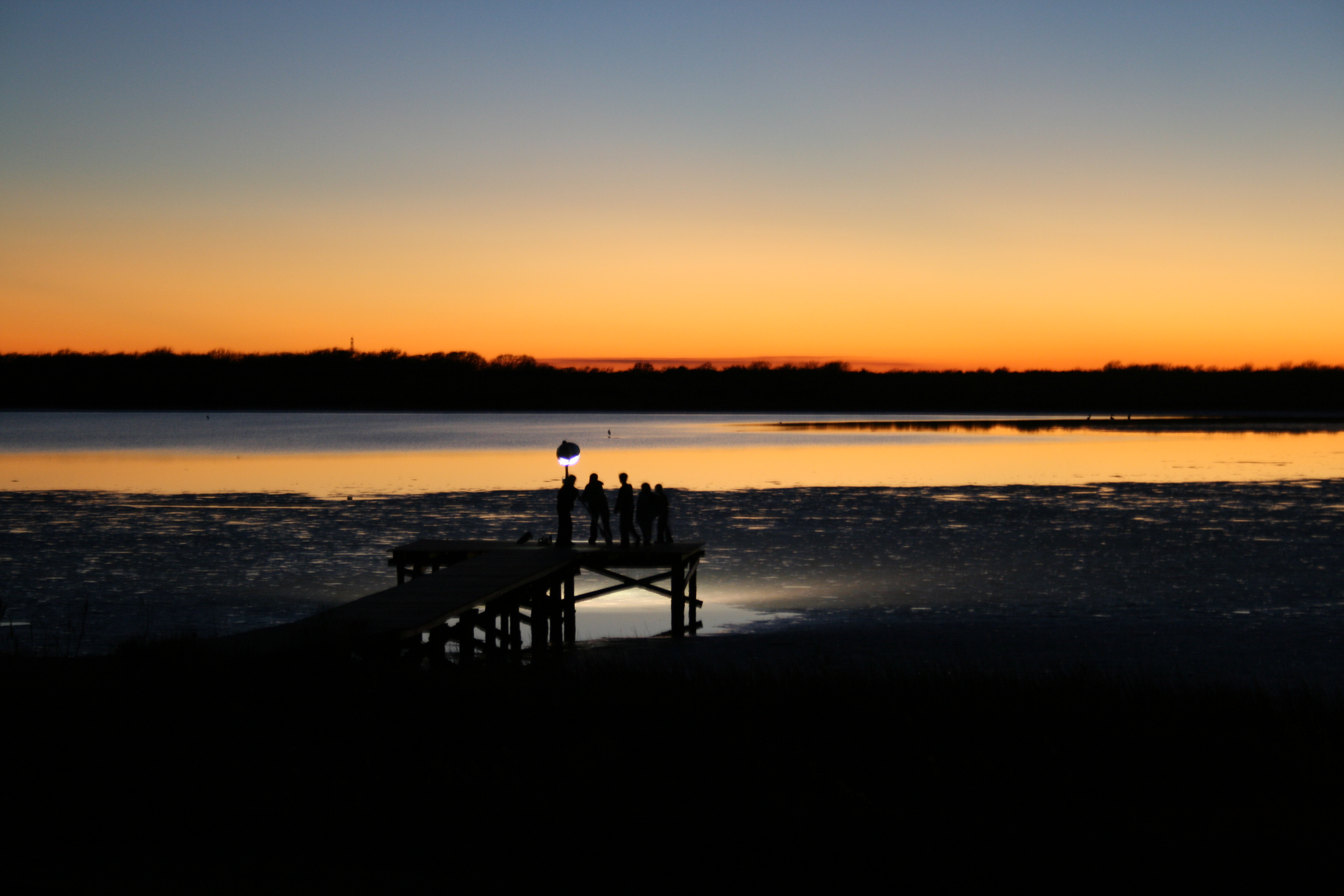
The Sunset at the Beachouse

Beautiful Colors
The Griffin's Pier

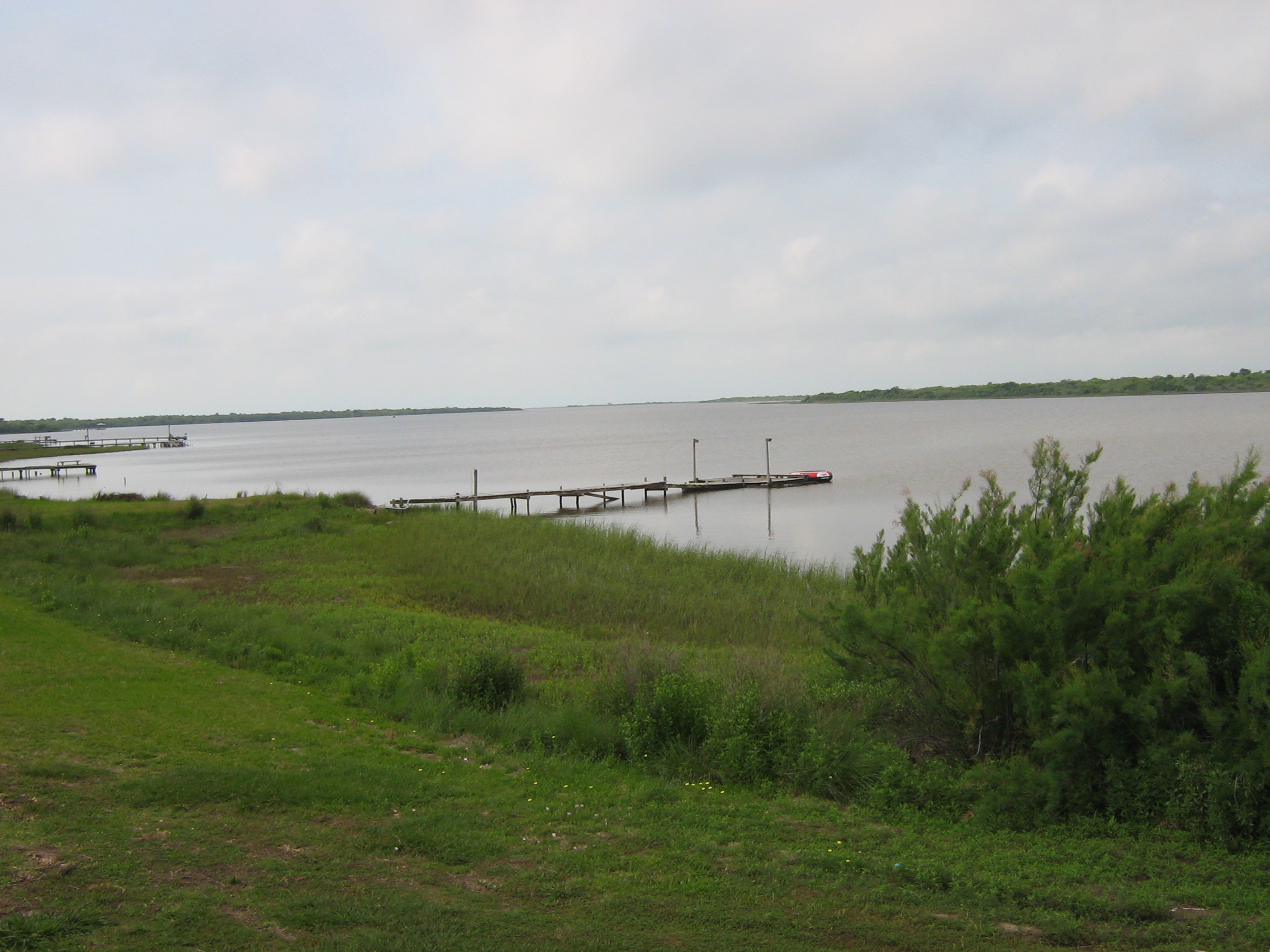
Lavaca Bay

Boardwalk View

Swamp Sparrow

16 Sun Set

20170919-OC-LSC-2033

20170919-OC-LSC-1427

20170919-OC-LSC-1823

20170919-OC-LSC-1681

20170919-OC-LSC-1410

20170919-OC-LSC-1287
Keller Bay

Clapper Rail Response

20170919-OC-LSC-1582

Magnolia Beach cacti...

FF10-68
Port Lavaca, Texas

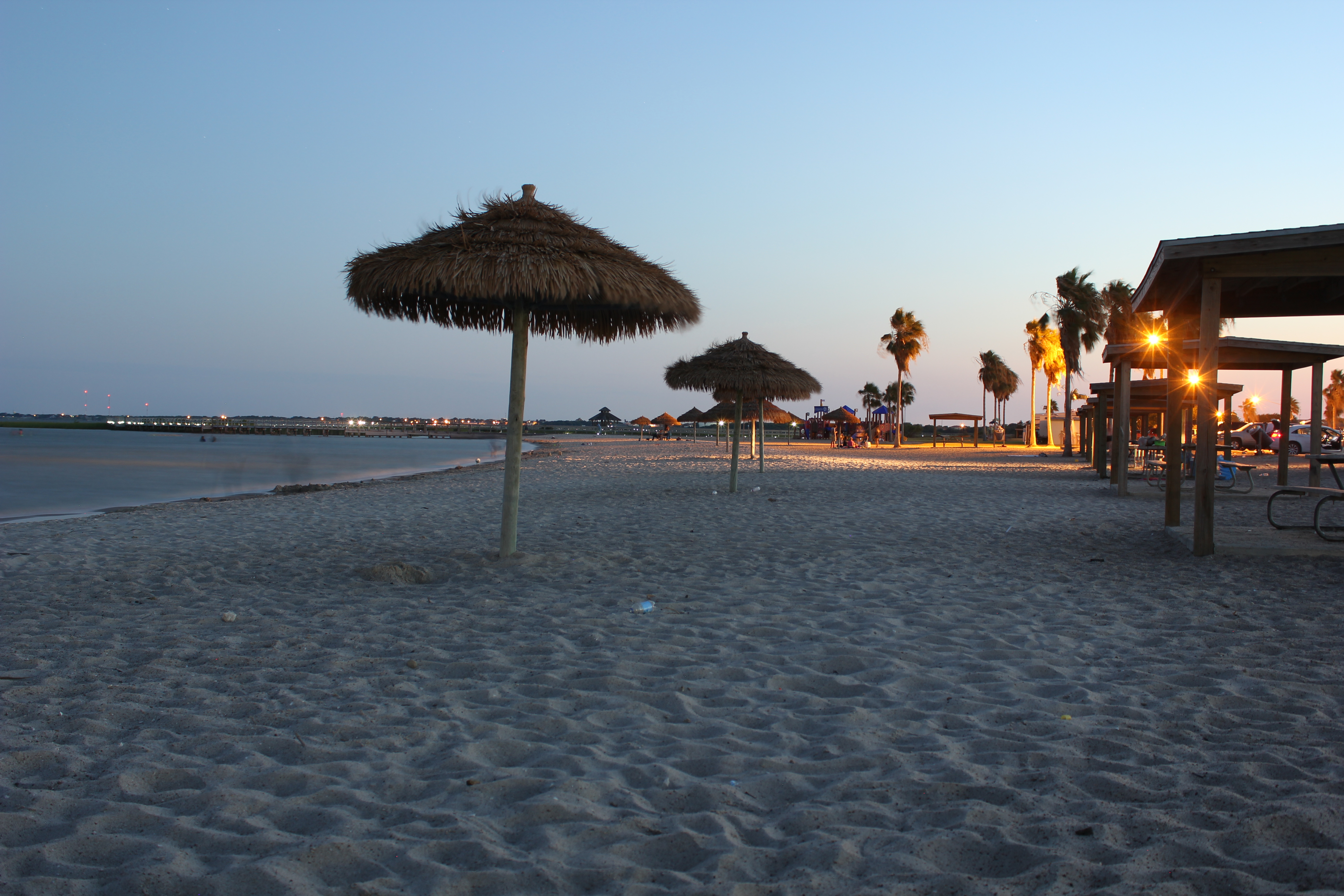
Port Lavaca Beach

Port Lavaca, Texas

Port Lavaca, Texas

Marina @ Lavaca

Harbor @ Lavaca

Historical Marker
Topographic Map of Lighthouse Beach Rd, Port Lavaca, TX, USA
Find elevation by address:

Places near Lighthouse Beach Rd, Port Lavaca, TX, USA:
2228 Tx-35
2241 Tx-35
Lighthouse Beach
138 Park Pl
Broadway St & Bayview Dr
152 Del Mar Dr
413 Candlelight Ln
Bayfront Peninsula Park
Westwood Drive
Poor Boy Bait
123 Dan Ave
200 N Colorado St
Port Lavaca
1701 N Virginia St
105 Brentwood Pl
412 N Nueces St
412 N Nueces St
412 N Nueces St
412 N Nueces St
810 S Colorado St
Recent Searches:
- Elevation of Shibuya Scramble Crossing, 21 Udagawacho, Shibuya City, Tokyo -, Japan
- Elevation of Jadagoniai, Kaunas District Municipality, Lithuania
- Elevation of Pagonija rock, Kranto 7-oji g. 8"N, Kaunas, Lithuania
- Elevation of Co Rd 87, Jamestown, CO, USA
- Elevation of Tenjo, Cundinamarca, Colombia
- Elevation of Côte-des-Neiges, Montreal, QC H4A 3J6, Canada
- Elevation of Bobcat Dr, Helena, MT, USA
- Elevation of Zu den Ihlowbergen, Althüttendorf, Germany
- Elevation of Badaber, Peshawar, Khyber Pakhtunkhwa, Pakistan
- Elevation of SE Heron Loop, Lincoln City, OR, USA