Elevation of Dan Ave, Port Lavaca, TX, USA
Location: United States > Texas > Calhoun County > Port Lavaca >
Longitude: -96.636901
Latitude: 28.6282788
Elevation: 5m / 16feet
Barometric Pressure: 101KPa
Elevation Map:
Satellite Map:
Related Photos:
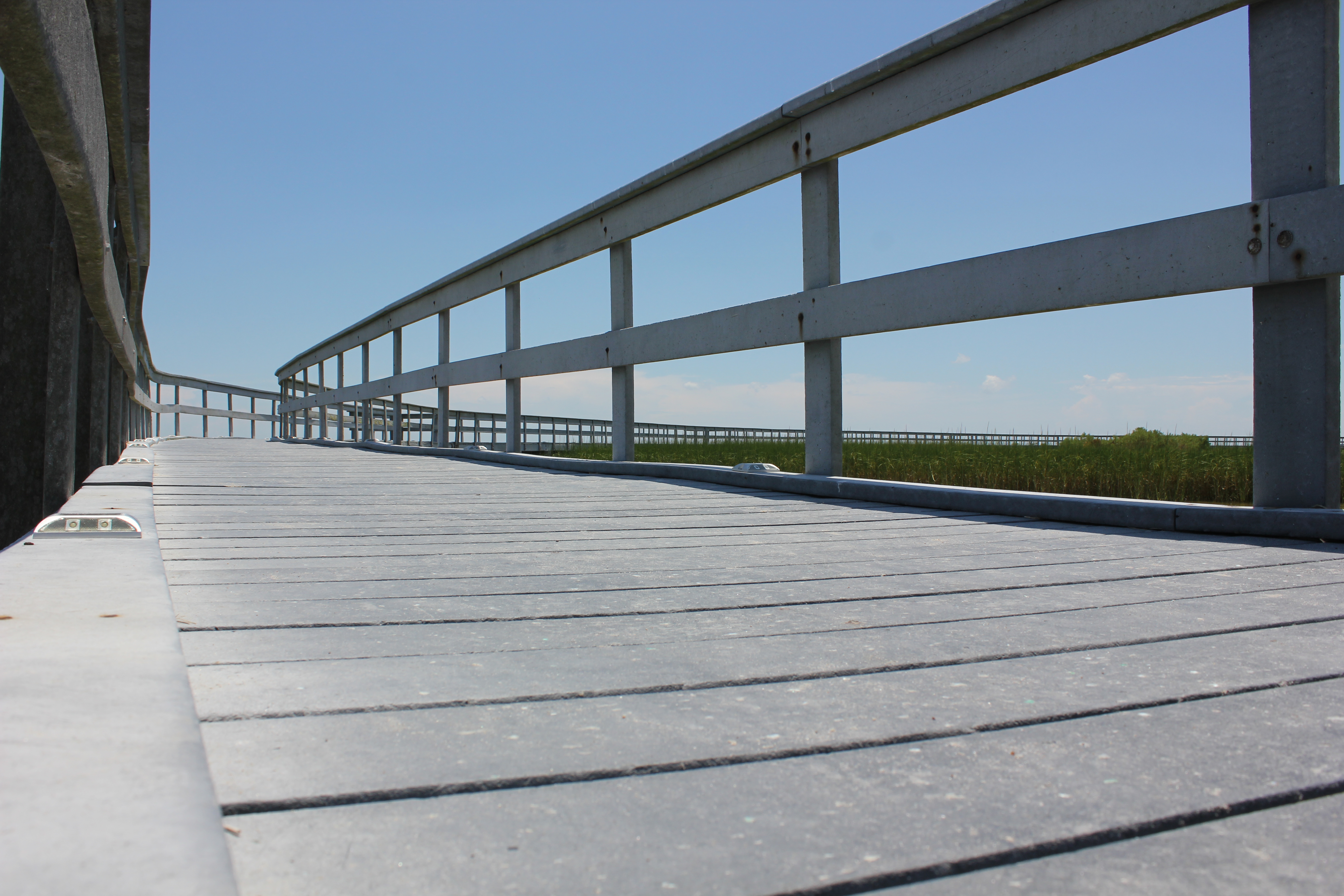
Boardwalk View
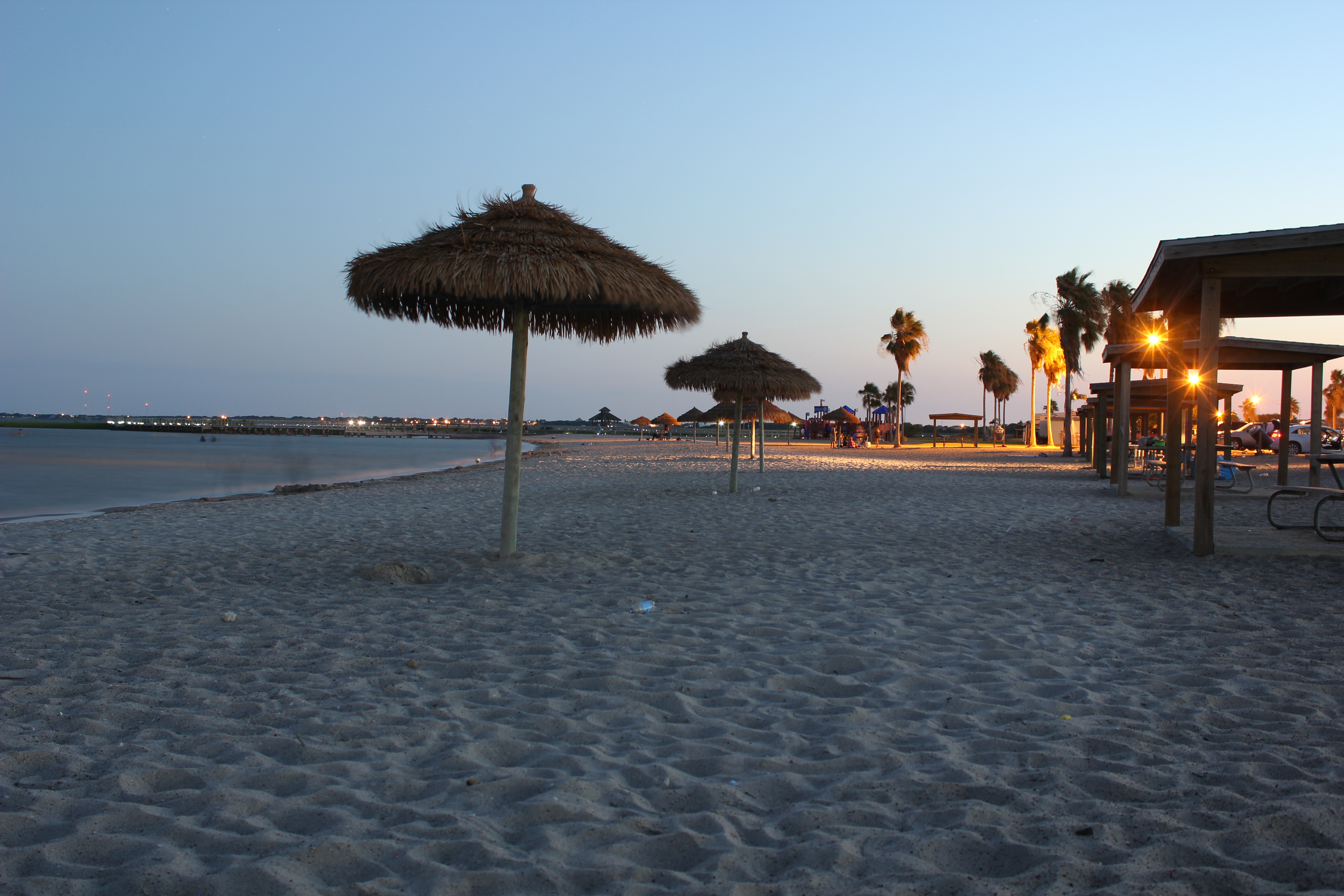
The Sunset at the Beachouse
Beautiful Colors
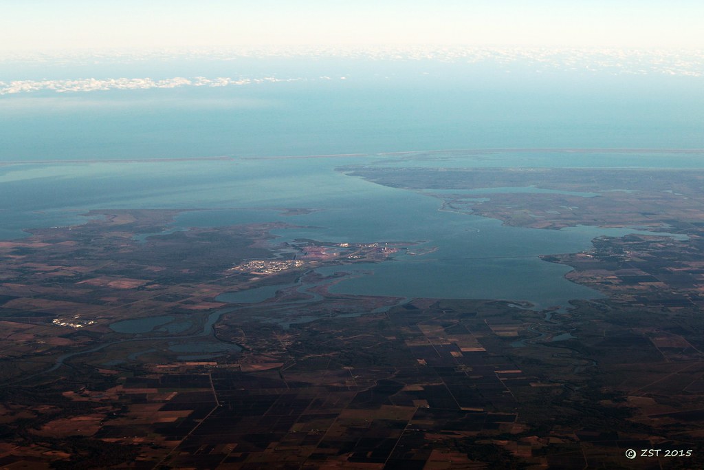
Lavaca Bay
The View from the Beachhouse
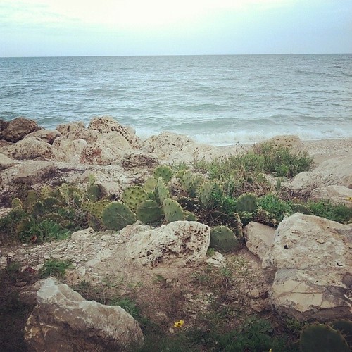
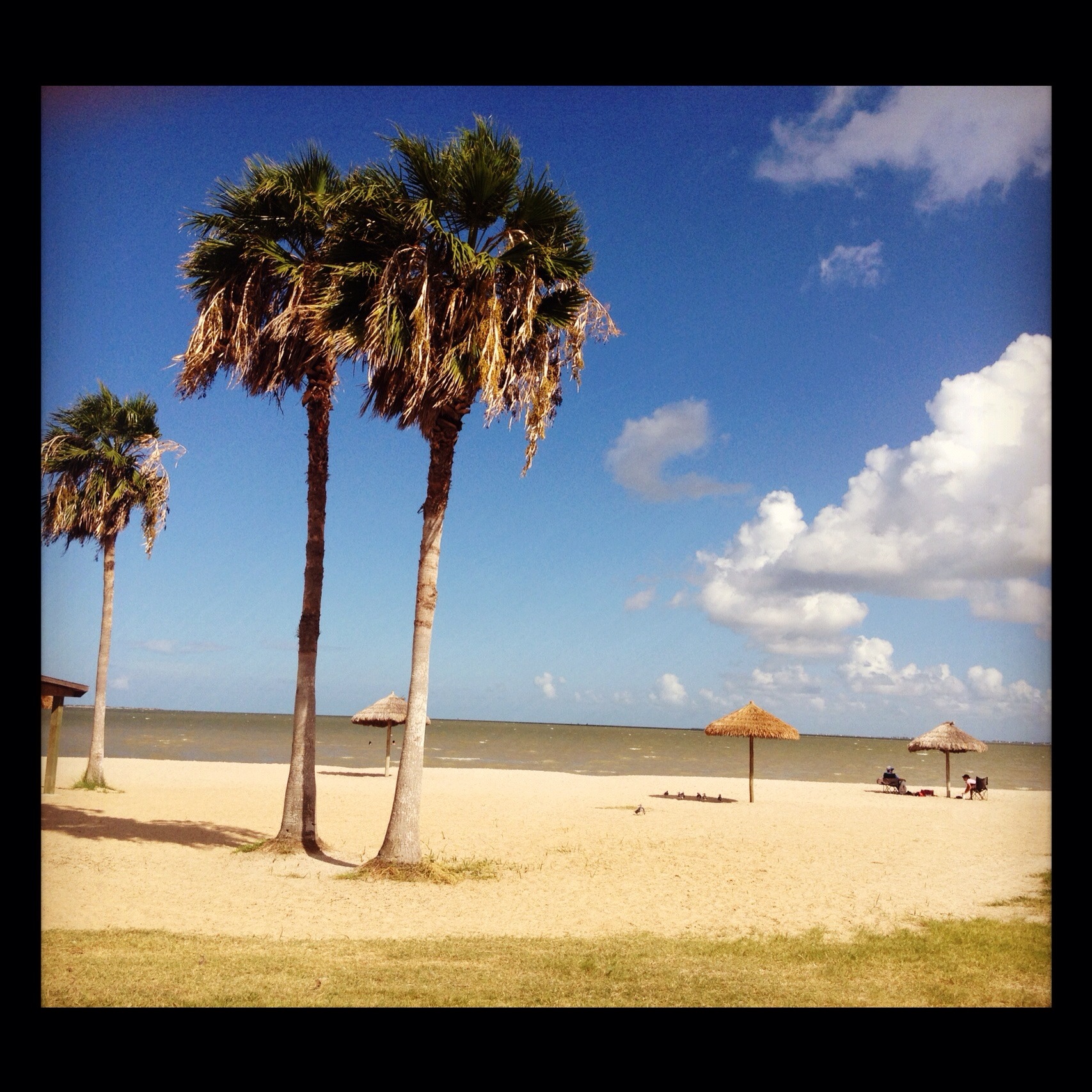
Magnolia Beach cacti...
FF10-68
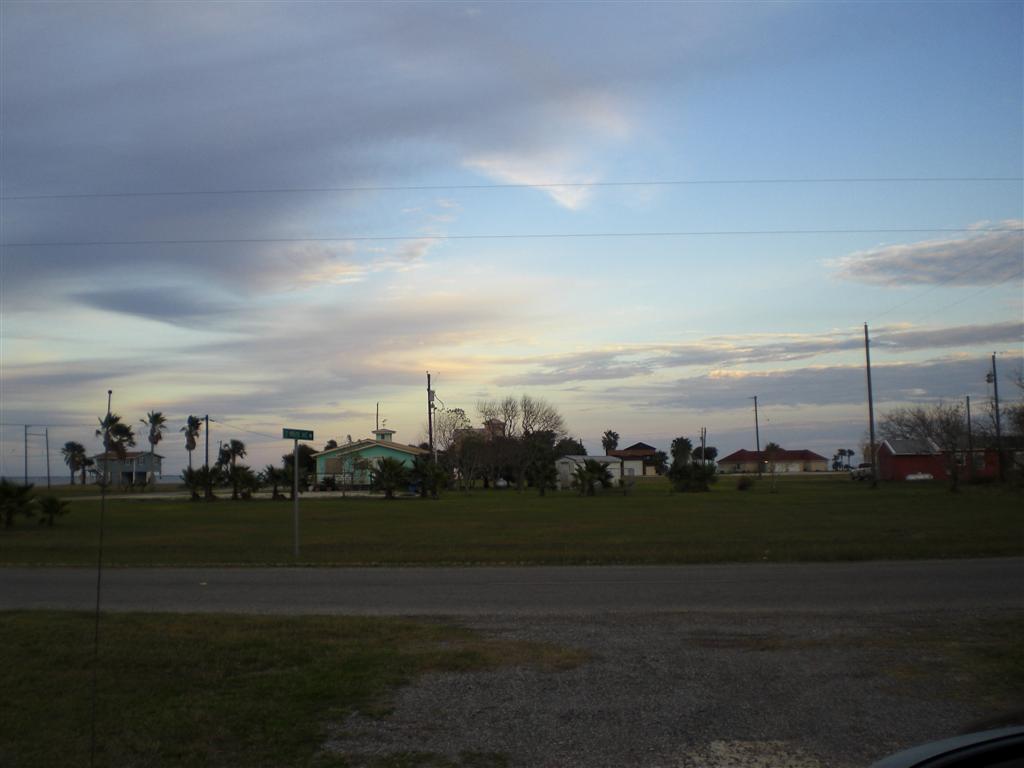
Port Lavaca, Texas

Port Lavaca, Texas

Port Lavaca, Texas
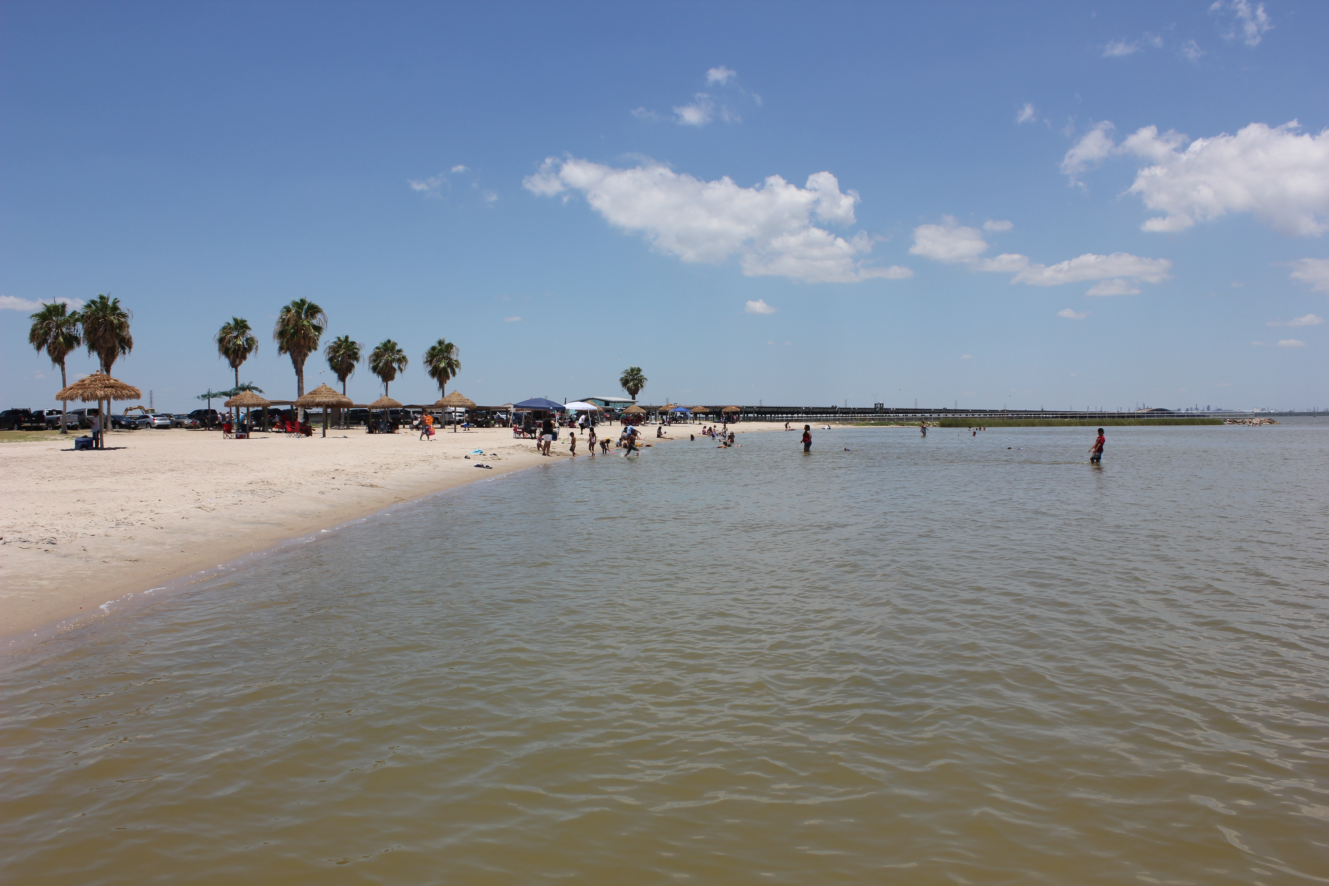
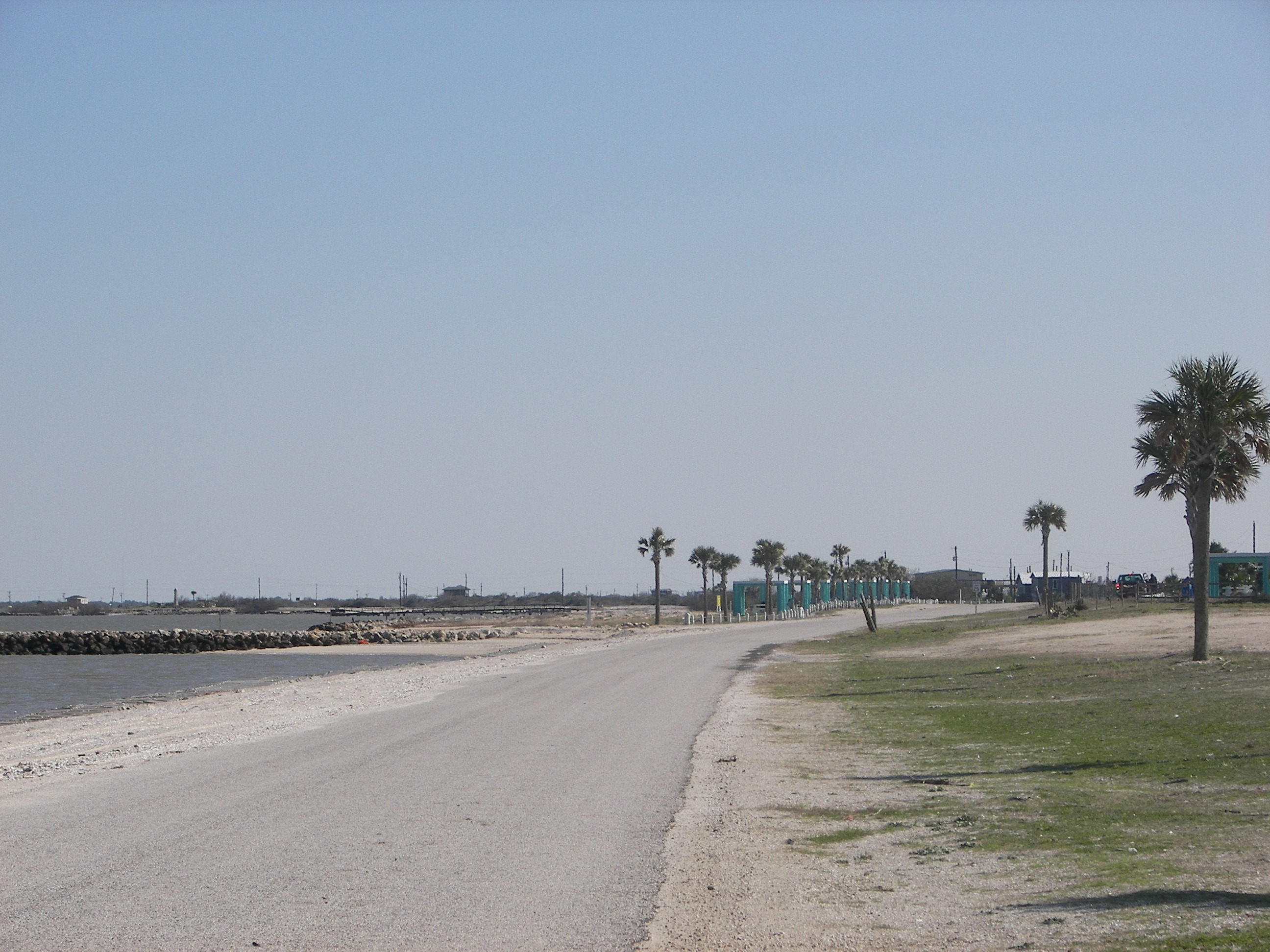
Port Lavaca Beach
Port Lavaca, Texas

Port Lavaca, Texas
Port La Vaca

16 Sun Set
tree shadow
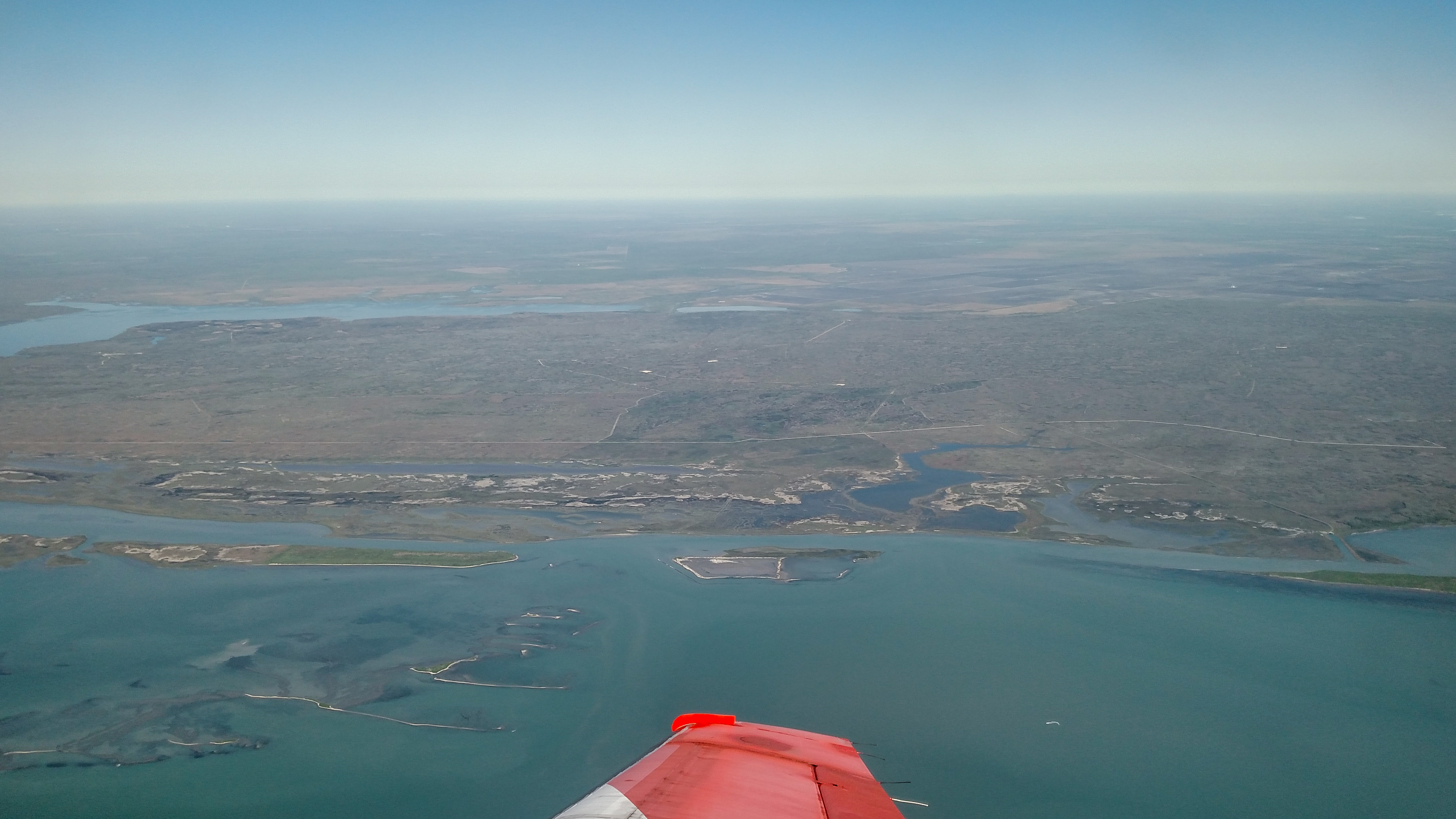
Advanced Flight Training (109 of 126)
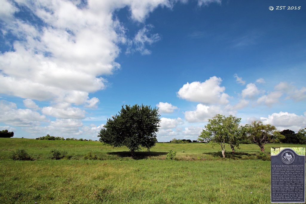
Historical Marker
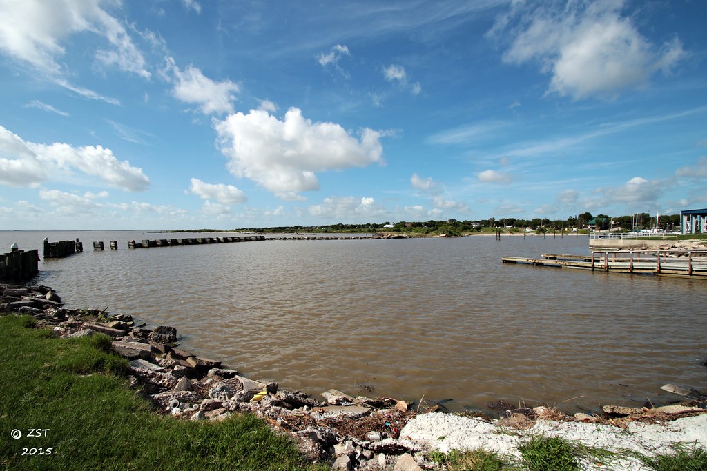
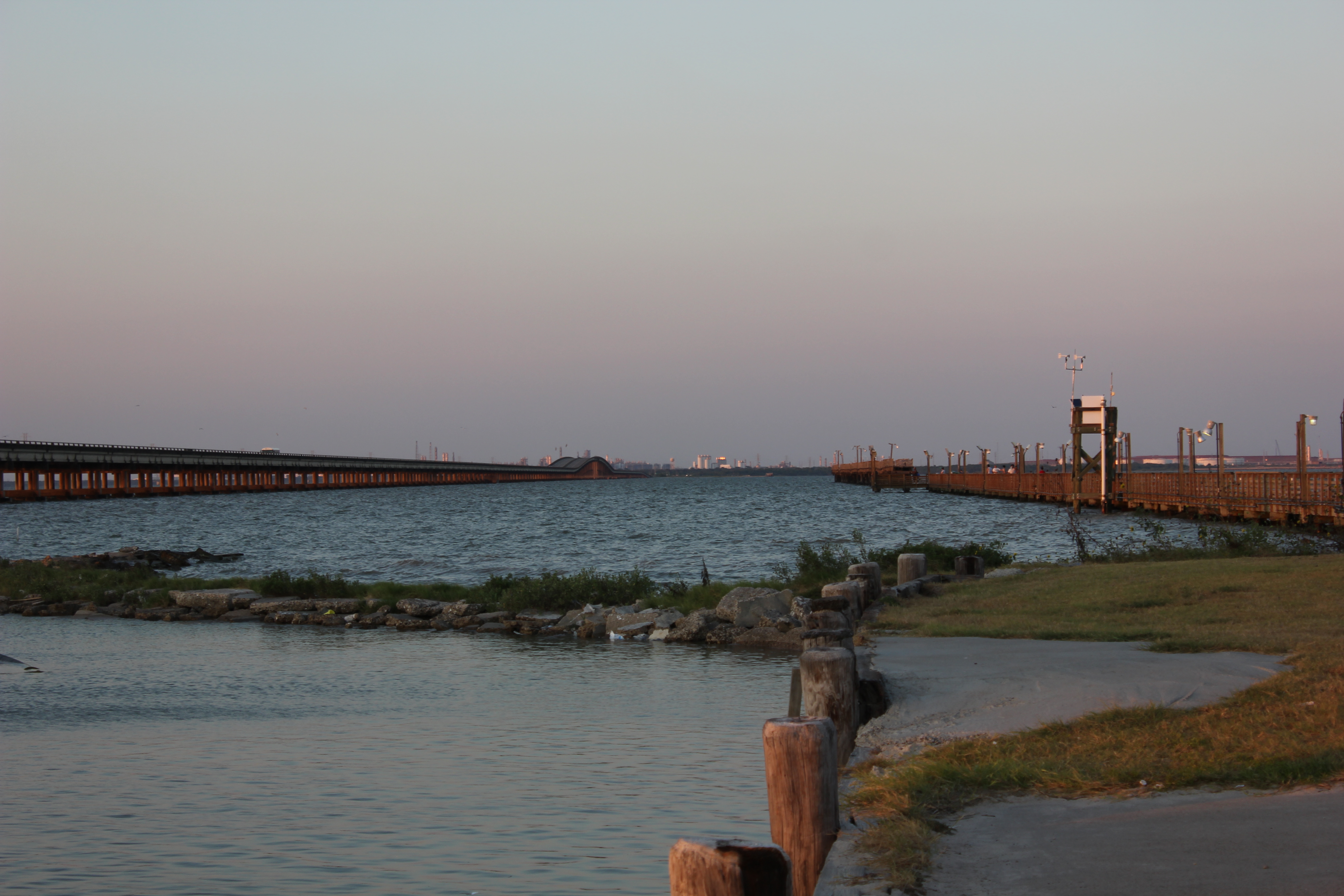
Harbor @ Lavaca
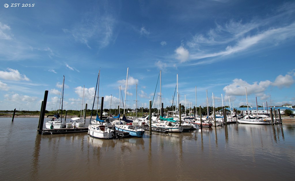
Marina @ Lavaca

Clapper Rail Response
Topographic Map of Dan Ave, Port Lavaca, TX, USA
Find elevation by address:

Places near Dan Ave, Port Lavaca, TX, USA:
1701 N Virginia St
413 Candlelight Ln
Westwood Drive
Calhoun High School
105 Brentwood Pl
Broadway St & Bayview Dr
412 N Nueces St
412 N Nueces St
412 N Nueces St
412 N Nueces St
200 N Colorado St
618 Border St
Port Lavaca
Bayfront Peninsula Park
Poor Boy Bait
2228 Tx-35
1910 Lighthouse Beach Rd
2241 Tx-35
412 S Nueces St
832 Hackberry St
Recent Searches:
- Elevation of Kreuzburger Weg 13, Düsseldorf, Germany
- Elevation of Gateway Blvd SE, Canton, OH, USA
- Elevation of East W.T. Harris Boulevard, E W.T. Harris Blvd, Charlotte, NC, USA
- Elevation of West Sugar Creek, Charlotte, NC, USA
- Elevation of Wayland, NY, USA
- Elevation of Steadfast Ct, Daphne, AL, USA
- Elevation of Lagasgasan, X+CQH, Tiaong, Quezon, Philippines
- Elevation of Rojo Ct, Atascadero, CA, USA
- Elevation of Flagstaff Drive, Flagstaff Dr, North Carolina, USA
- Elevation of Avery Ln, Lakeland, FL, USA