Elevation of S Colorado St, Port Lavaca, TX, USA
Location: United States > Texas > Calhoun County > Port Lavaca >
Longitude: -96.619913
Latitude: 28.609649
Elevation: 5m / 16feet
Barometric Pressure: 101KPa
Elevation Map:
Satellite Map:
Related Photos:

Boardwalk View

Lavaca Bay

The View from the Beachhouse

Beautiful Colors

The Sunset at the Beachouse
Port Lavaca, Texas

20170919-OC-LSC-1427

20170919-OC-LSC-1582
20170919-OC-LSC-1732

20170919-OC-LSC-1681

20170919-OC-LSC-1410

20170919-OC-LSC-1823

20170919-OC-LSC-1287

Port Lavaca, Texas

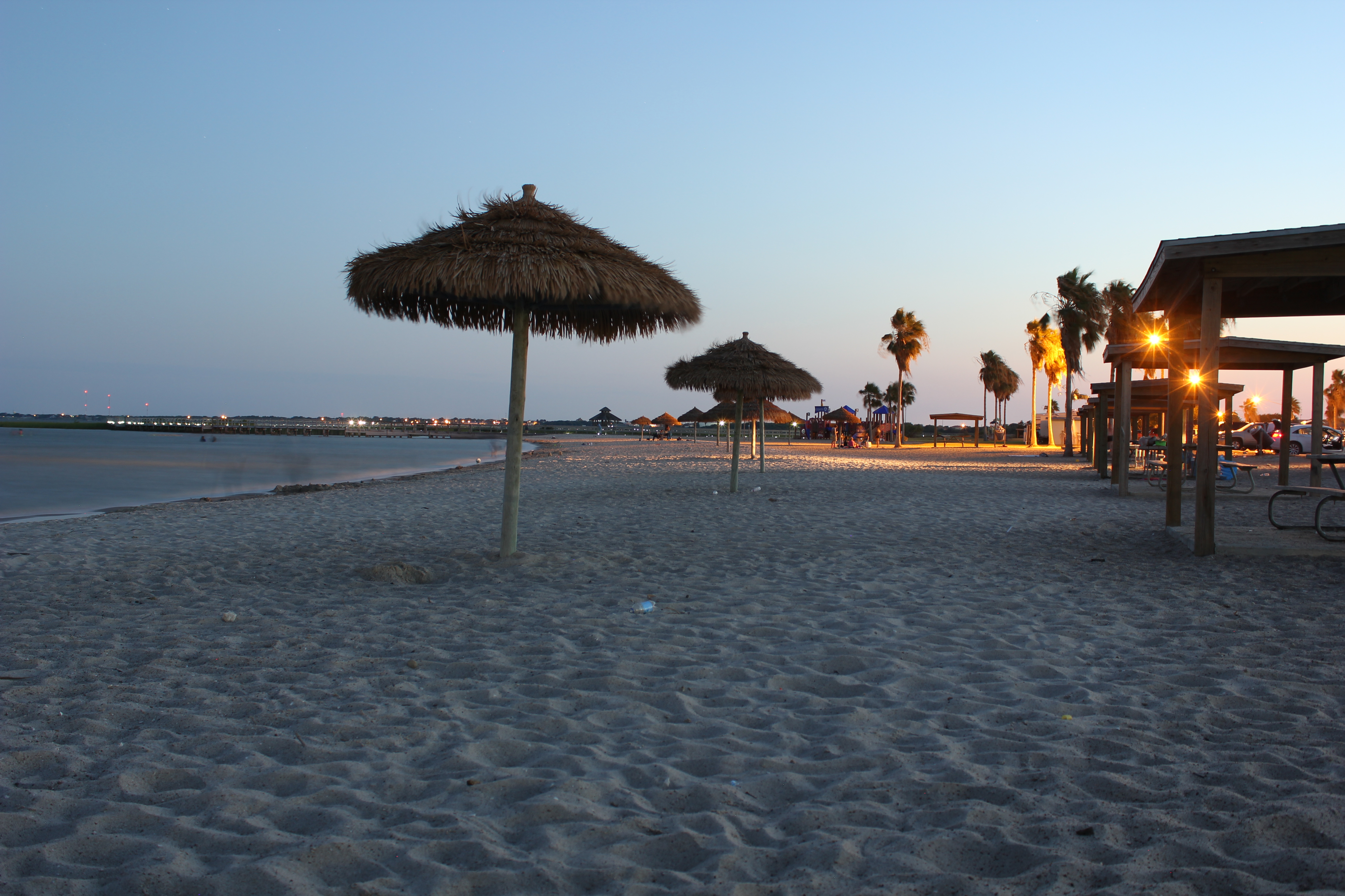
Port Lavaca Beach

Port Lavaca, Texas

Sunrise on Keller Bay

Port Lavaca, Texas

Swamp Sparrow

Marina @ Lavaca

Port Lavaca, Texas

tree shadow

Harbor @ Lavaca

Historical Marker

Clapper Rail Response
Topographic Map of S Colorado St, Port Lavaca, TX, USA
Find elevation by address:

Places near S Colorado St, Port Lavaca, TX, USA:
4 Villa Del Mar
412 S Nueces St
Poor Boy Bait
Port Lavaca
832 Hackberry St
Bayfront Peninsula Park
200 N Colorado St
412 N Nueces St
412 N Nueces St
412 N Nueces St
412 N Nueces St
Jackson Roosevelt Elementary
Second Street
1503 Justice Dr
1409 Holloman Dr
1409 W Austin St
217 Suncrest Dr
Broadway St & Bayview Dr
2102 Jackson St
Redfish Retreat
Recent Searches:
- Elevation of Tenjo, Cundinamarca, Colombia
- Elevation of Côte-des-Neiges, Montreal, QC H4A 3J6, Canada
- Elevation of Bobcat Dr, Helena, MT, USA
- Elevation of Zu den Ihlowbergen, Althüttendorf, Germany
- Elevation of Badaber, Peshawar, Khyber Pakhtunkhwa, Pakistan
- Elevation of SE Heron Loop, Lincoln City, OR, USA
- Elevation of Slanický ostrov, 01 Námestovo, Slovakia
- Elevation of Spaceport America, Co Rd A, Truth or Consequences, NM, USA
- Elevation of Warwick, RI, USA
- Elevation of Fern Rd, Whitmore, CA, USA