Elevation of Leopold Township, IN, USA
Location: United States > Indiana > Perry County >
Longitude: -86.610710
Latitude: 38.1095739
Elevation: 213m / 699feet
Barometric Pressure: 99KPa
Elevation Map:
Satellite Map:
Related Photos:
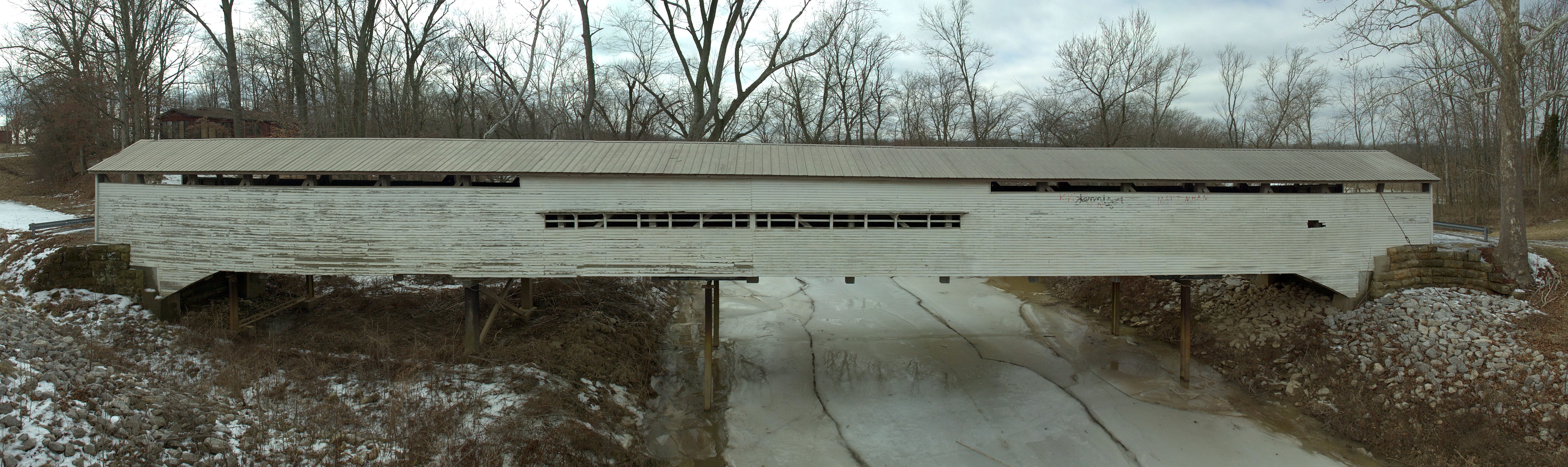
Huffman Mill Covered Bridge
deck view
Same view
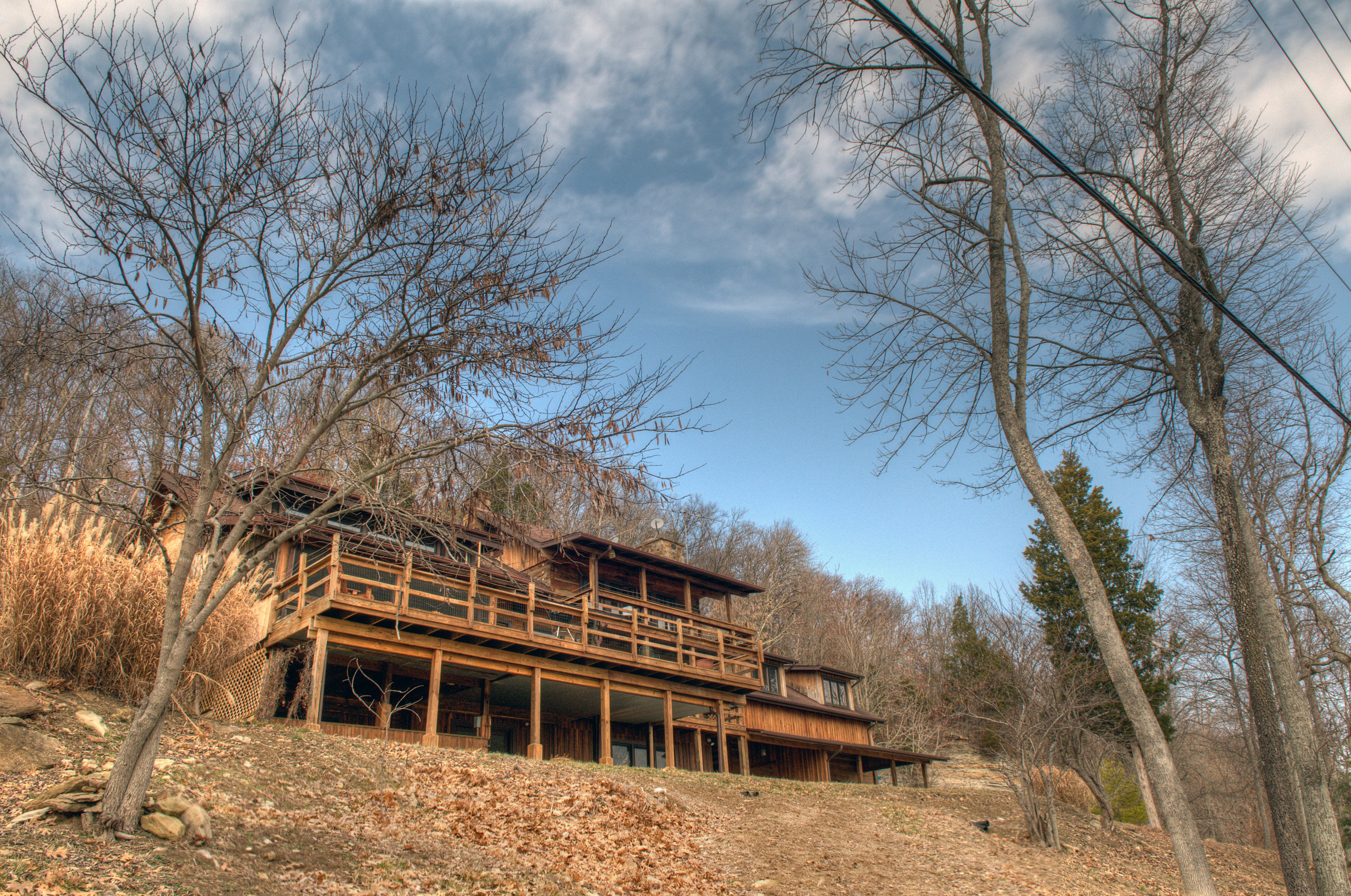
View as you pull up
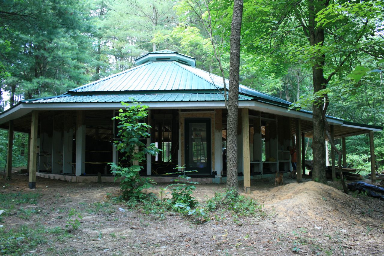
Picture Window
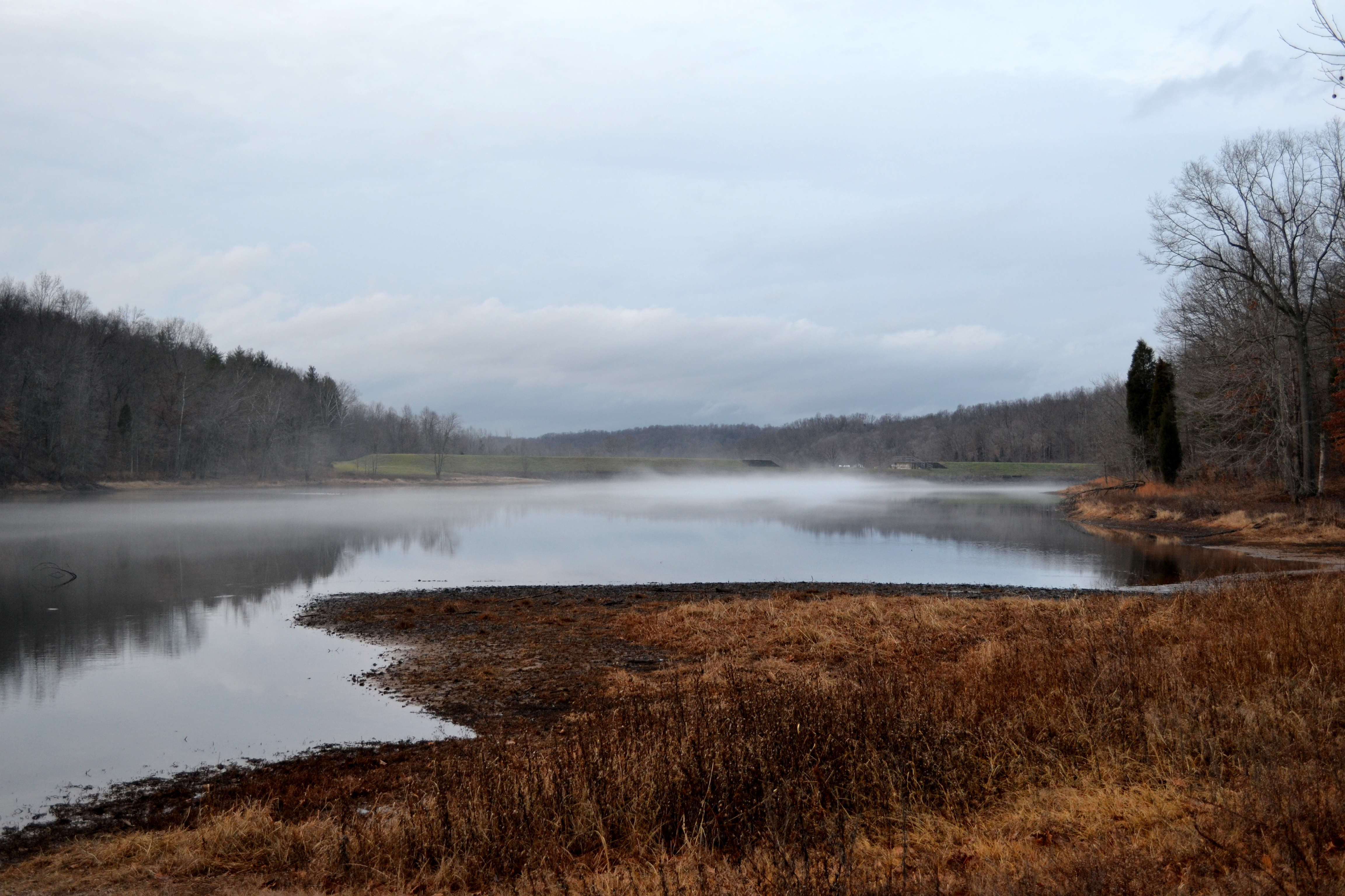
Saddle Lake

down by the river

West Leopold Circle Road Bridge, Perry County, IN

cloud mirror

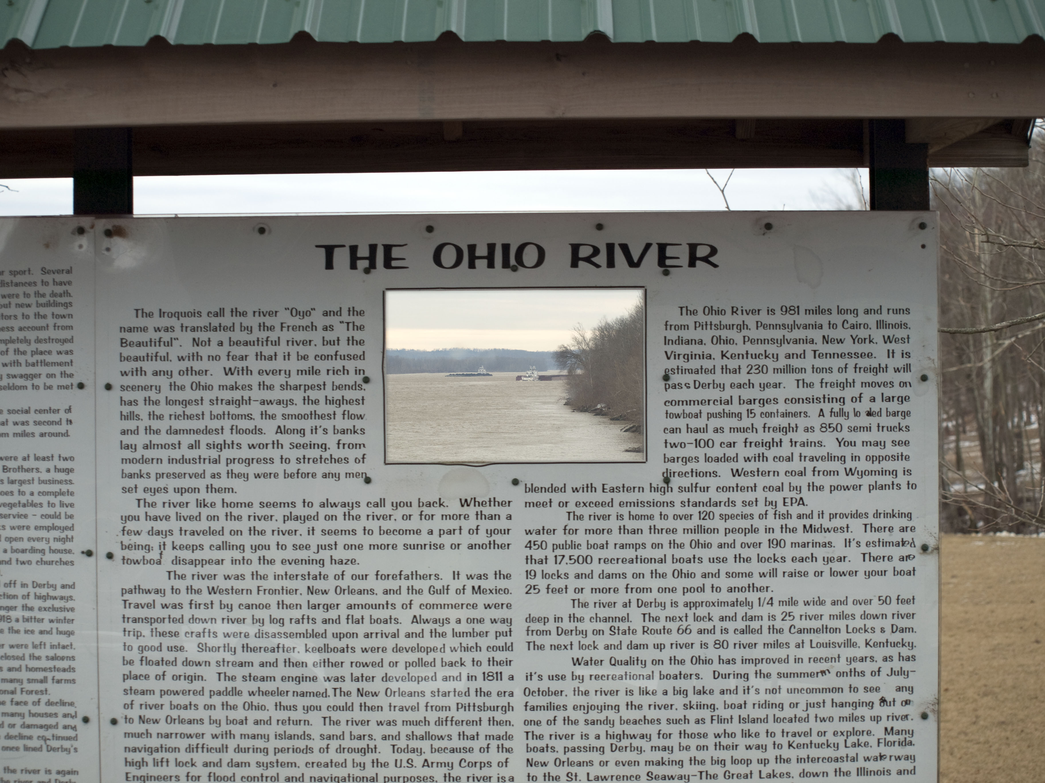
Ohio River Scenic Byway (Perry County, Indiana)

sunrise over the ohio river
2013 April--Twin Lakes (1)
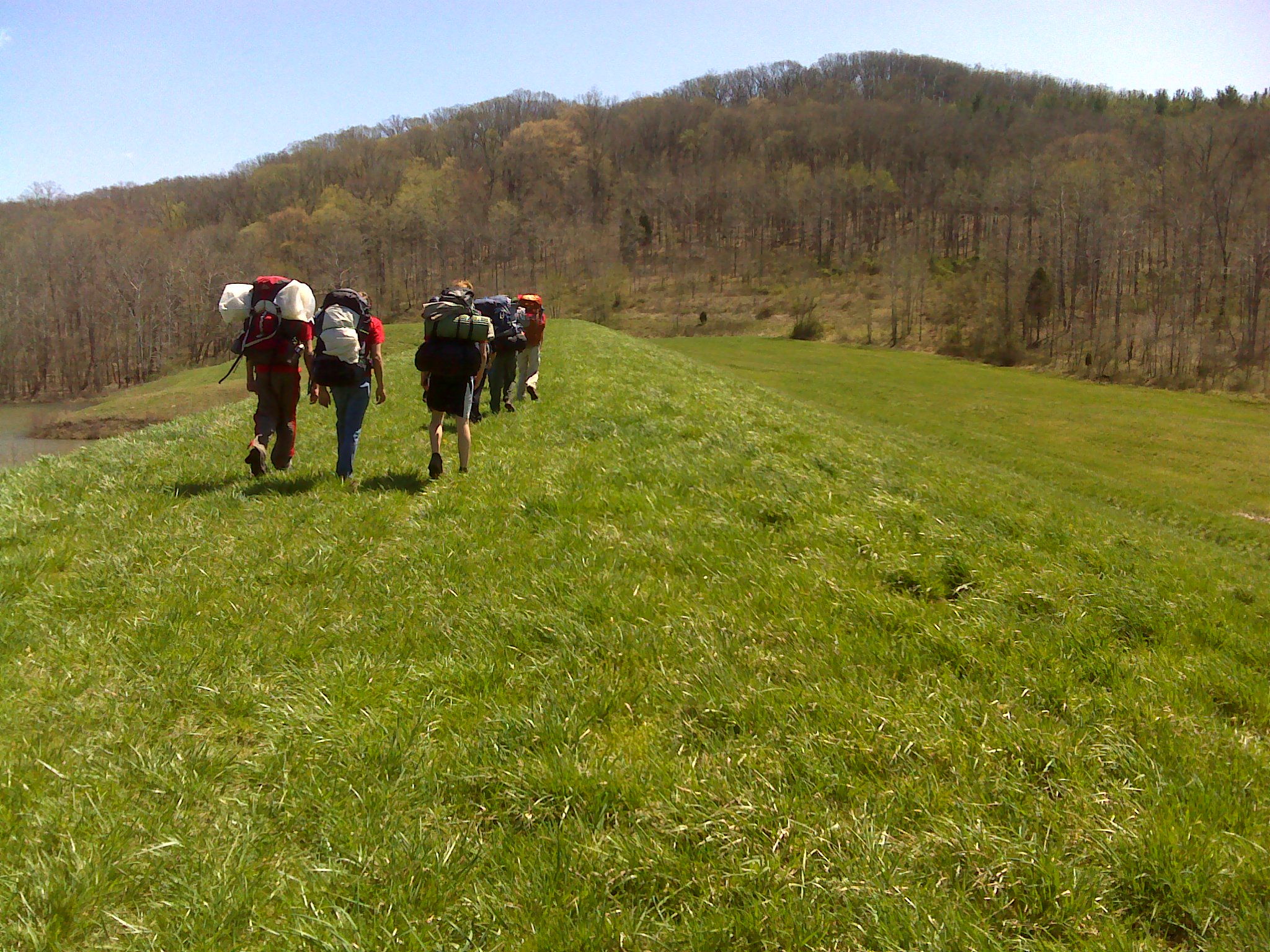
2013 April--Twin Lakes (20)
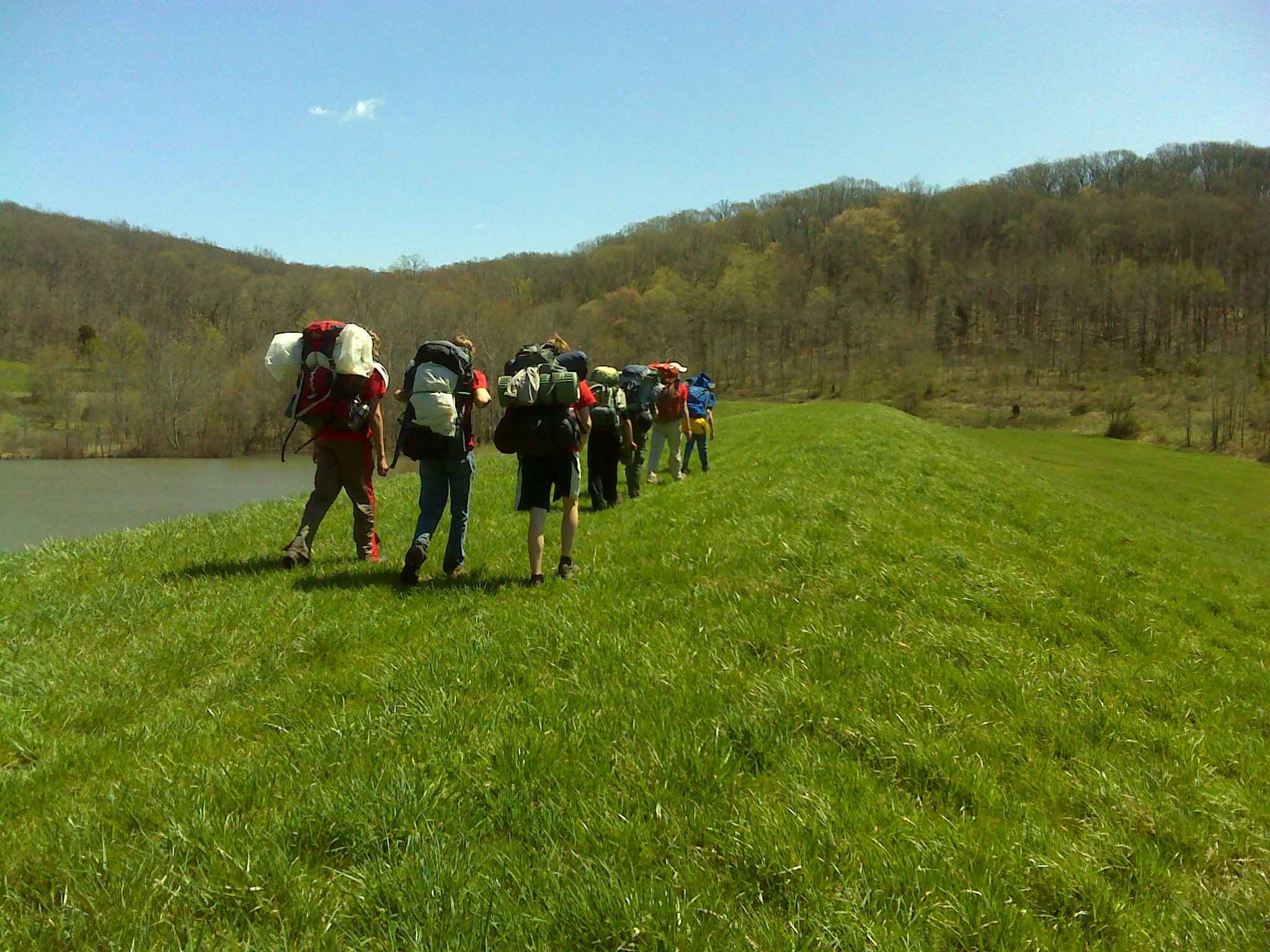
2013 April--Twin Lakes (19)
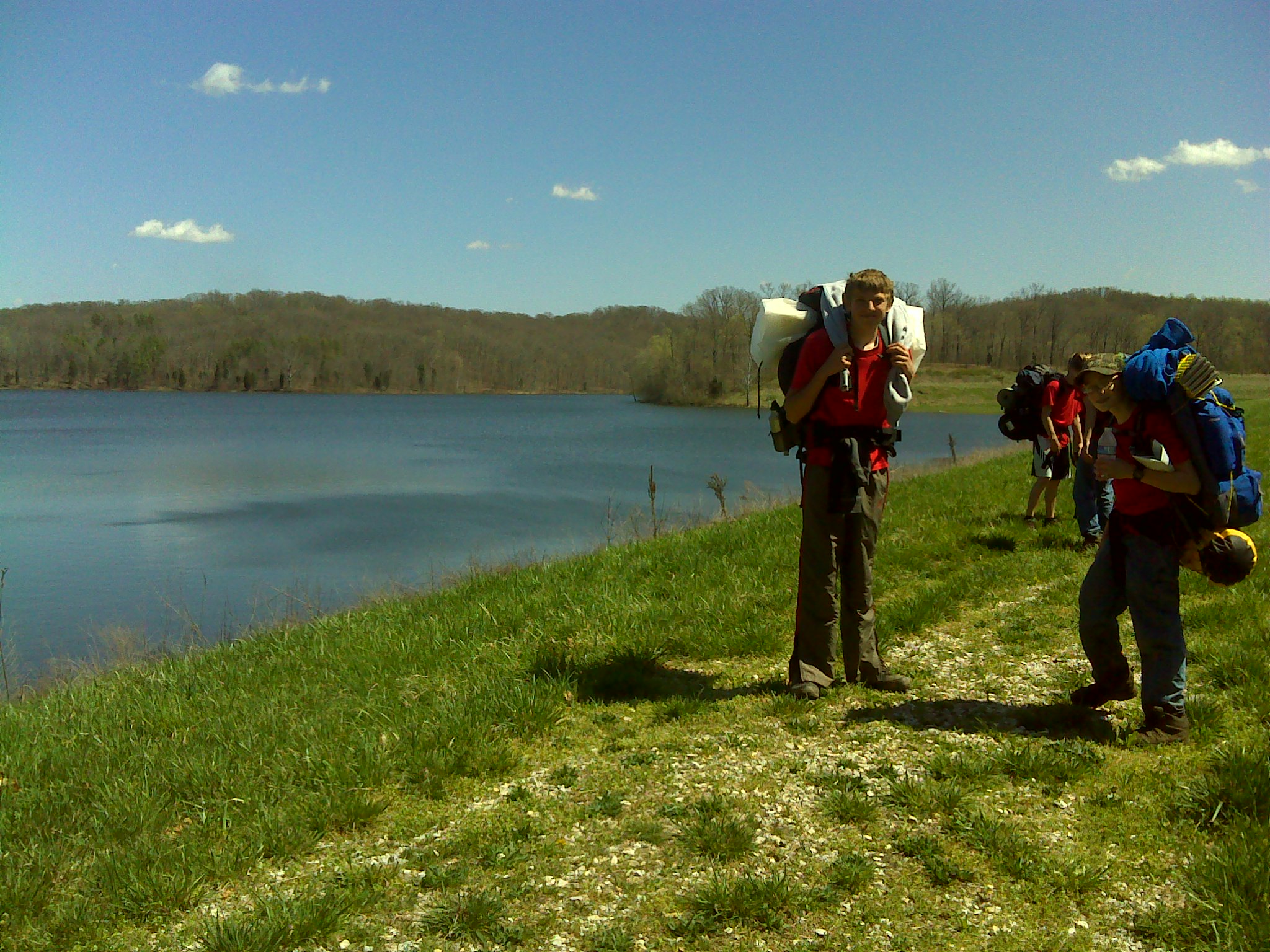
2013 April--Twin Lakes (28)
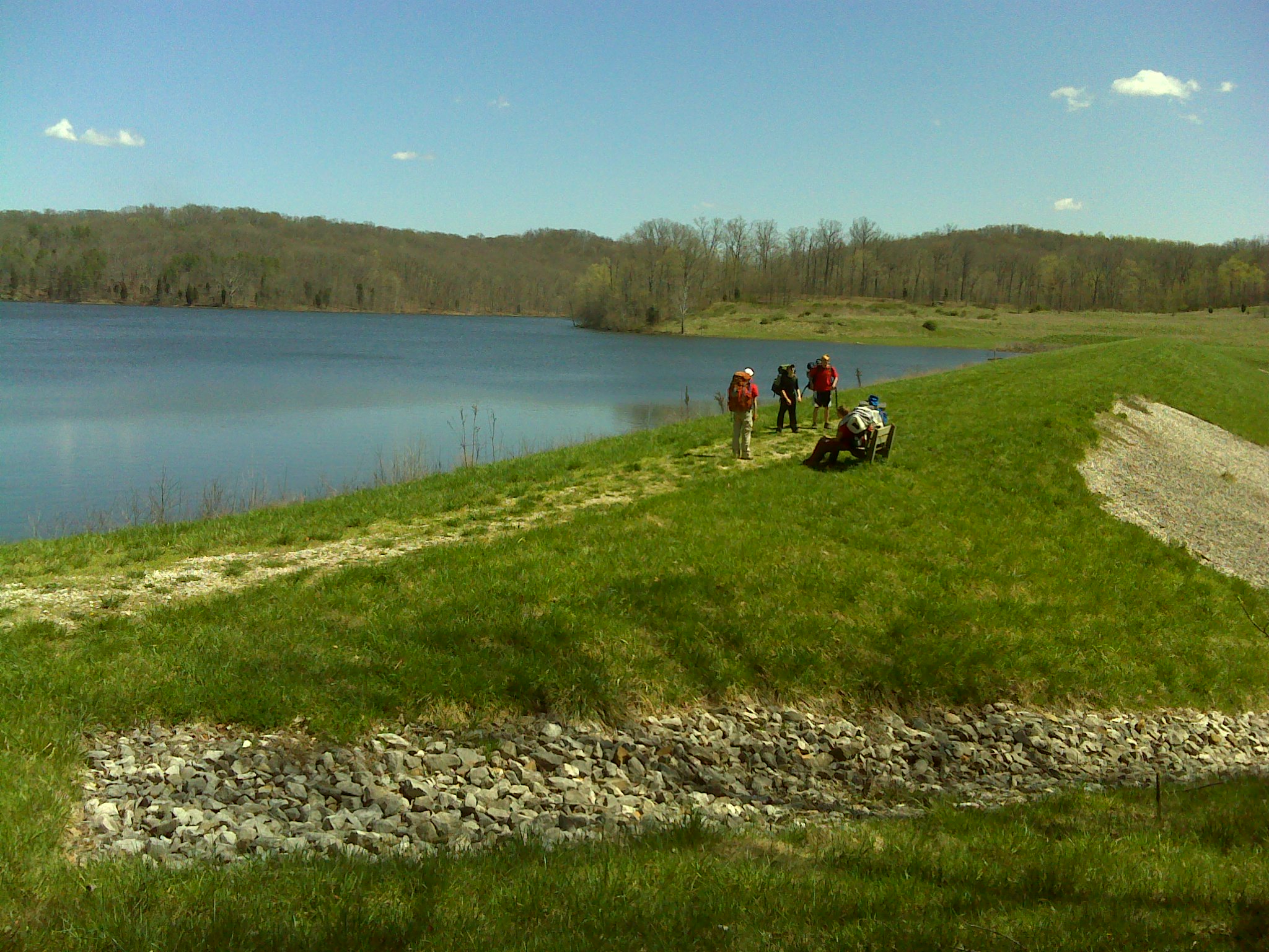
2013 April--Twin Lakes (27)
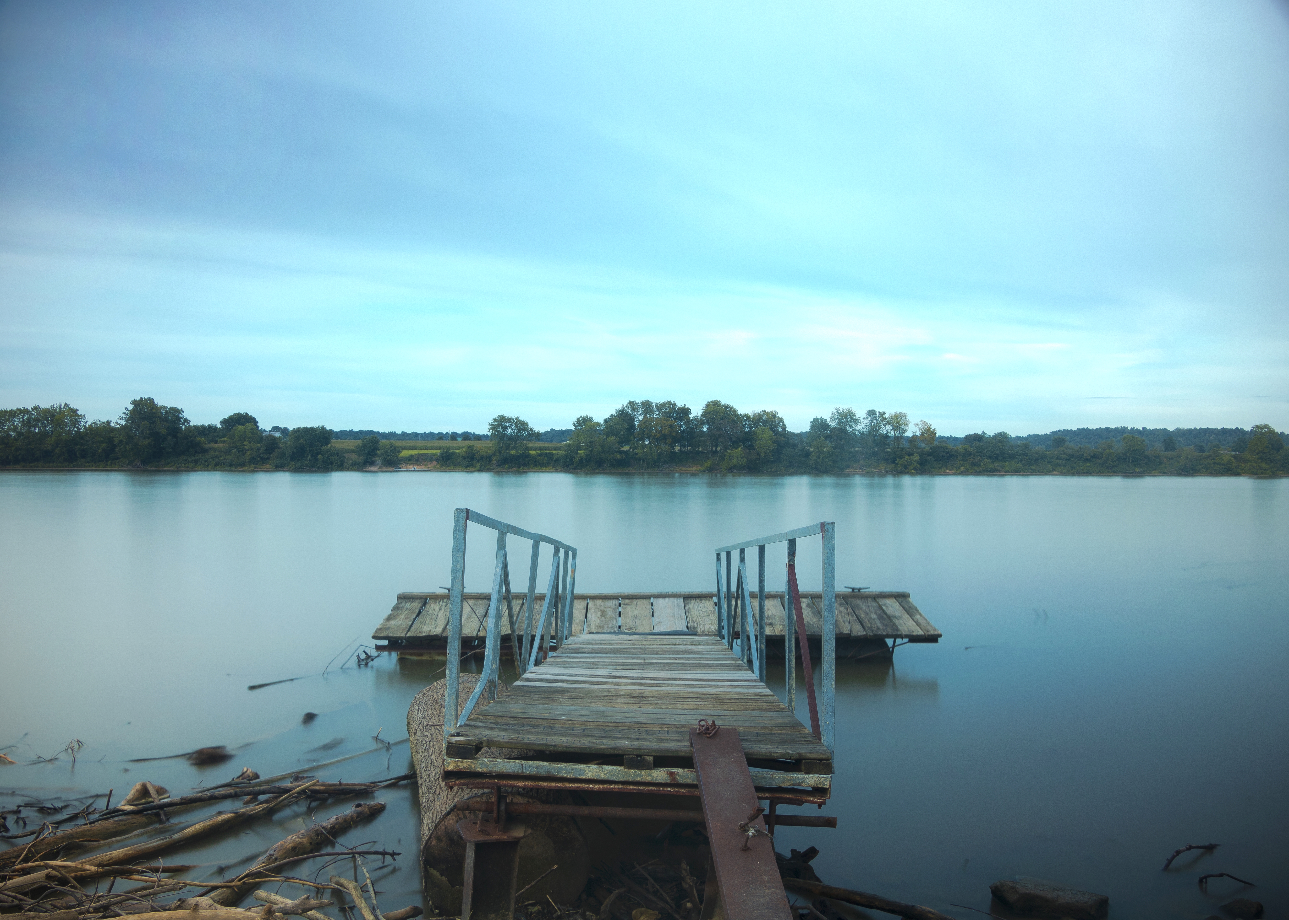
Mystic Dock
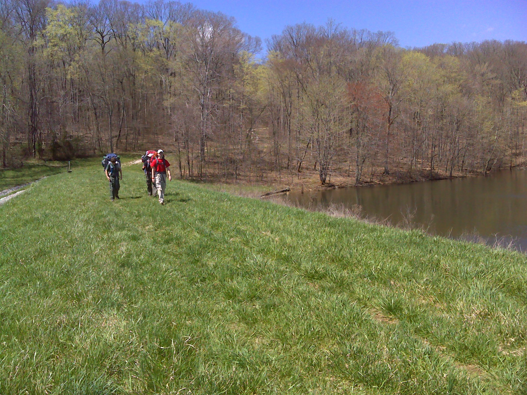
2013 April--Twin Lakes (29)
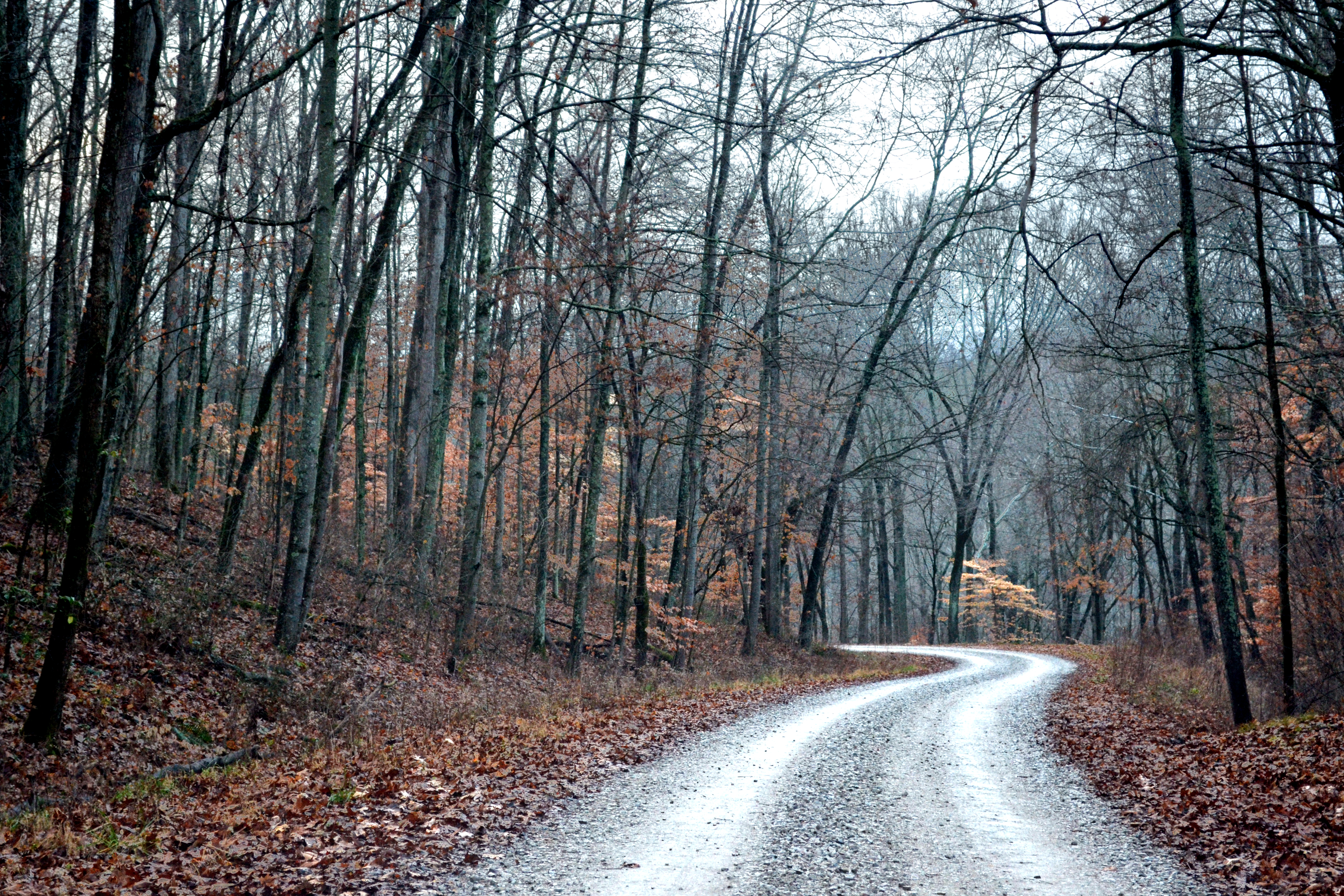
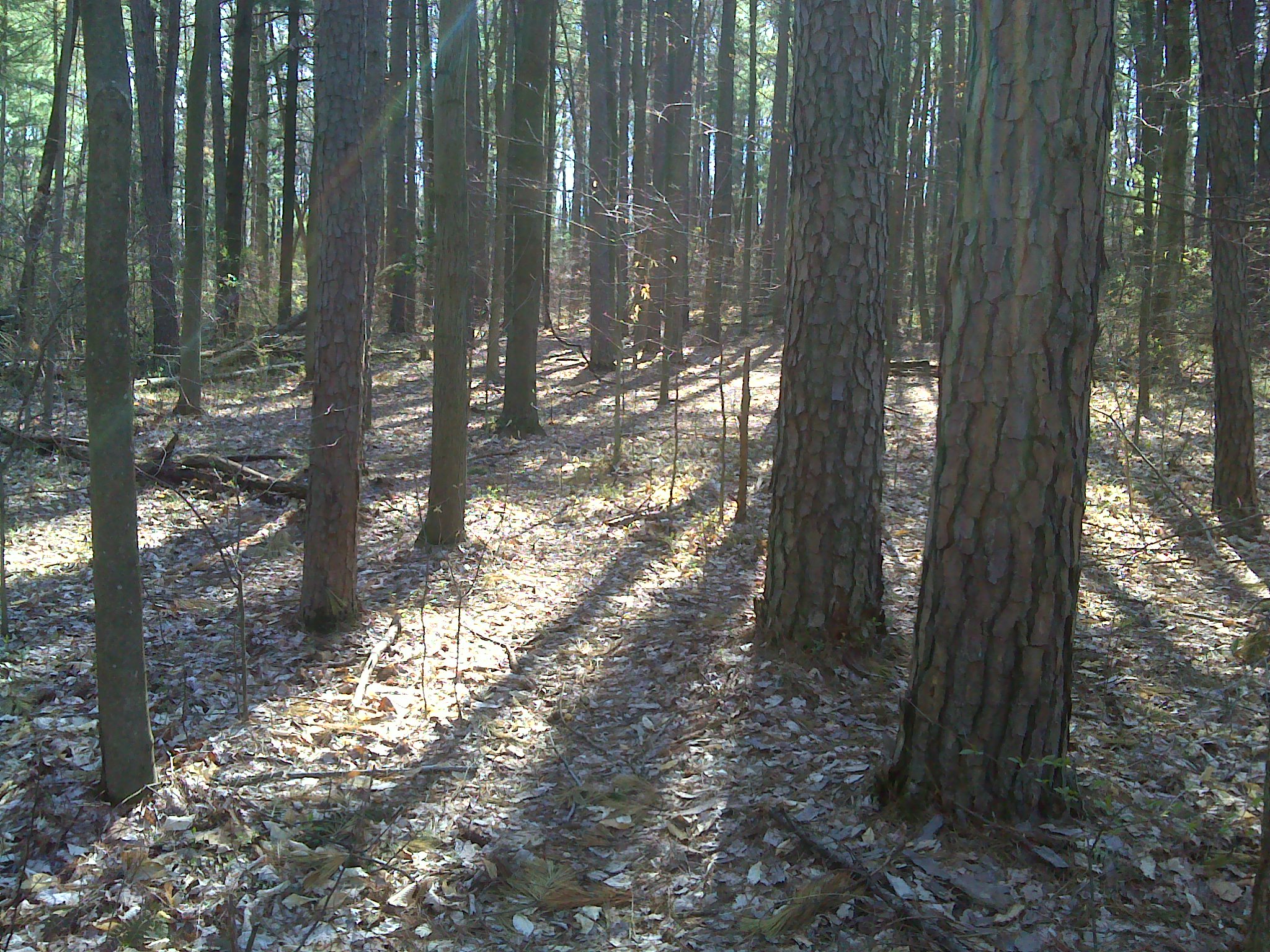
Forest Road
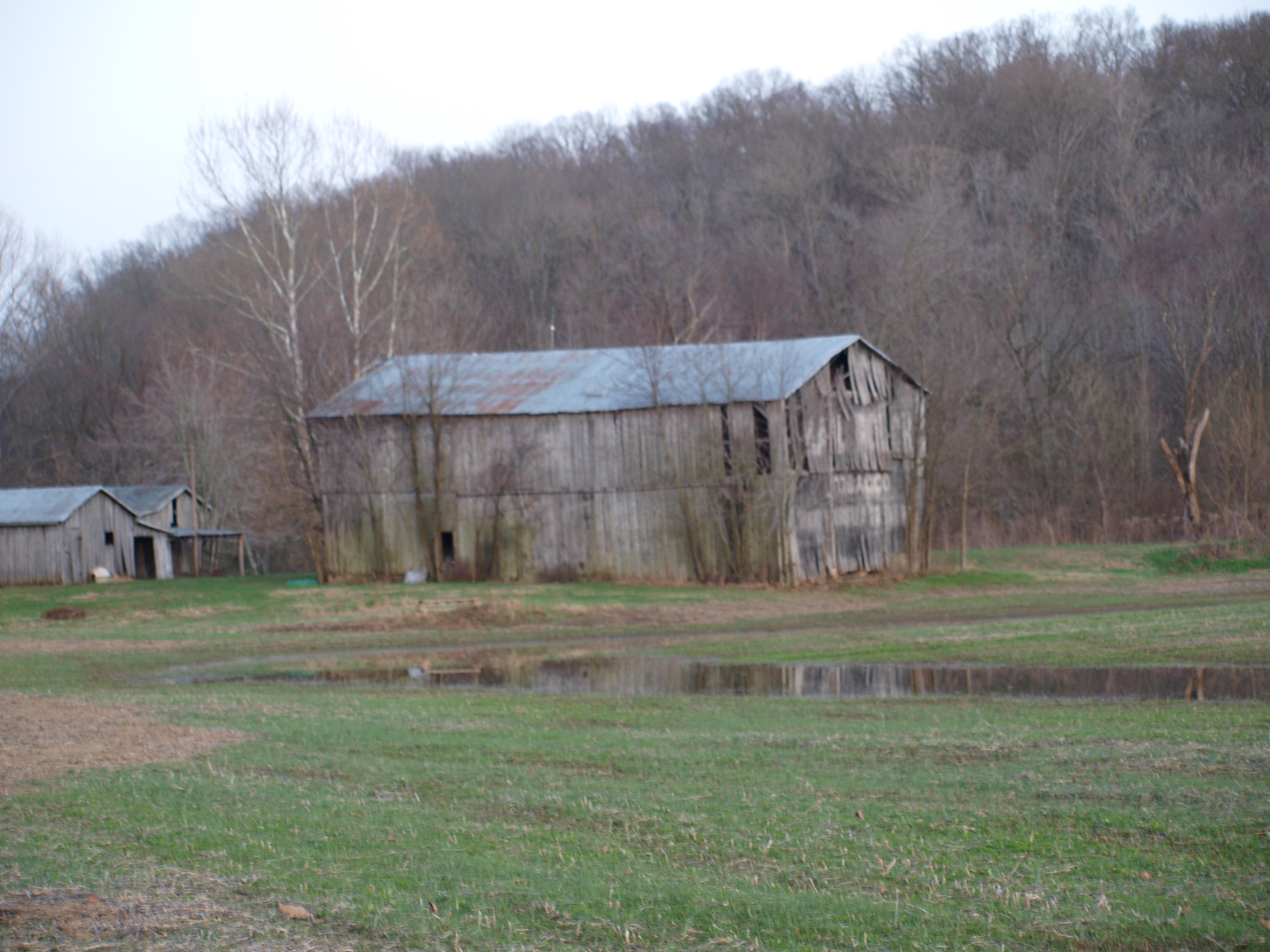
MPB 14-62-01, Perry County, Indiana
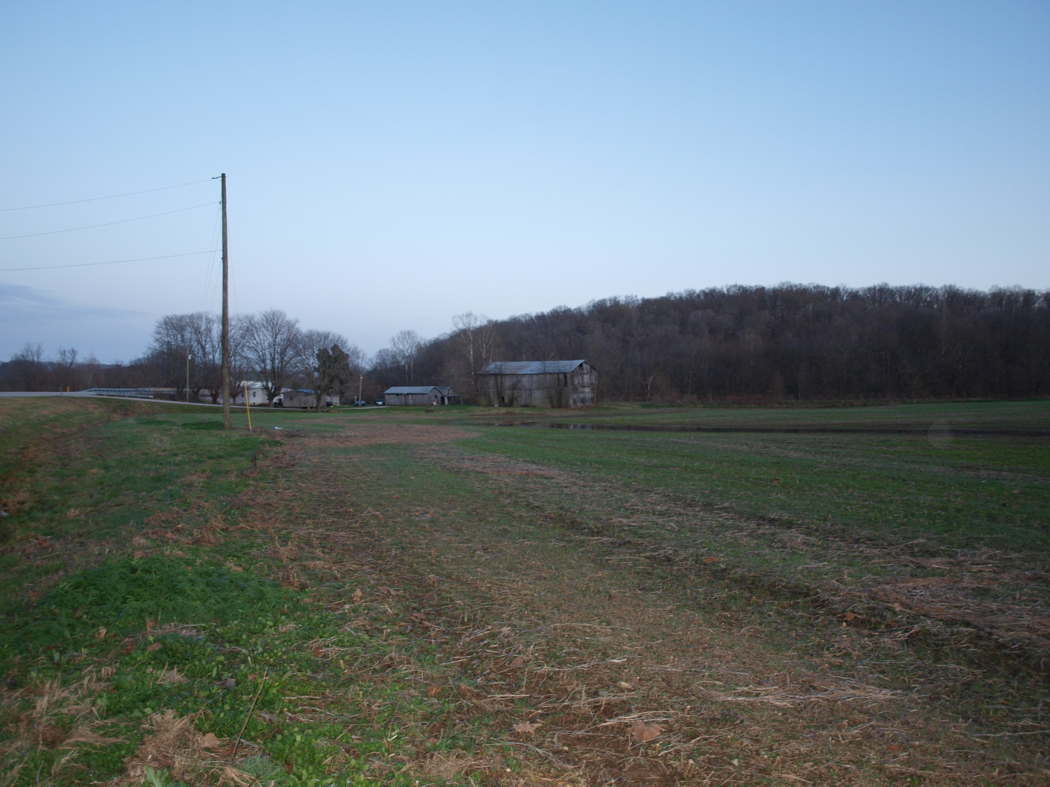
MPB 14-62-01, Perry County, Indiana
Topographic Map of Leopold Township, IN, USA
Find elevation by address:

Places in Leopold Township, IN, USA:
Places near Leopold Township, IN, USA:
E Bandon Rd, Branchville, IN, USA
Locust Rd, Tell City, IN, USA
N Apalona Rd, St Croix, IN, USA
11473 In-70
Branchville
Oil Township
Old State Rd 37, Branchville, IN, USA
French Ridge Rd, Tell City, IN, USA
Perry County
24189 In-145
Bristow
Saint Croix
Oliver Rd, Leopold, IN, USA
Clark Township
Anderson Township
Union Township
Chenault Rd, Stephensport, KY, USA
Doolittle Mills Rd, English, IN, USA
Lodge At Buzzard Roost
IN-62, Bristow, IN, USA
Recent Searches:
- Elevation of Mamala II, Sariaya, Quezon, Philippines
- Elevation of Sarangdanda, Nepal
- Elevation of 7 Waterfall Way, Tomball, TX, USA
- Elevation of SW 57th Ave, Portland, OR, USA
- Elevation of Crocker Dr, Vacaville, CA, USA
- Elevation of Pu Ngaol Community Meeting Hall, HWHM+3X7, Krong Saen Monourom, Cambodia
- Elevation of Royal Ontario Museum, Queens Park, Toronto, ON M5S 2C6, Canada
- Elevation of Groblershoop, South Africa
- Elevation of Power Generation Enterprises | Industrial Diesel Generators, Oak Ave, Canyon Country, CA, USA
- Elevation of Chesaw Rd, Oroville, WA, USA