Elevation of Saint Croix, St Croix, IN, USA
Location: United States > Indiana > Perry County > Oil Township >
Longitude: -86.586262
Latitude: 38.2238826
Elevation: 221m / 725feet
Barometric Pressure: 99KPa
Elevation Map:
Satellite Map:
Related Photos:

Old Birdseye High School Gym; Birdseye, Indiana
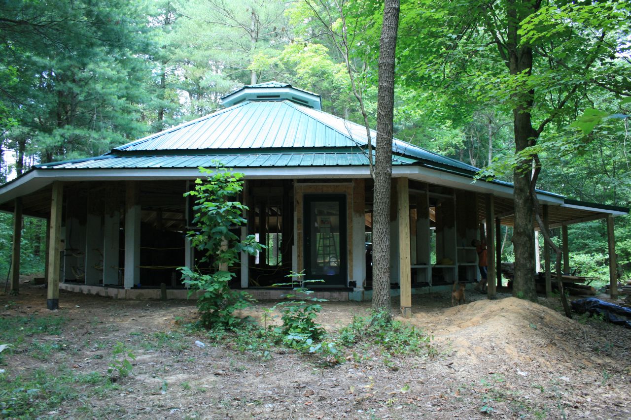
Same view
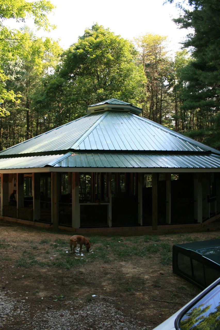
View as you pull up
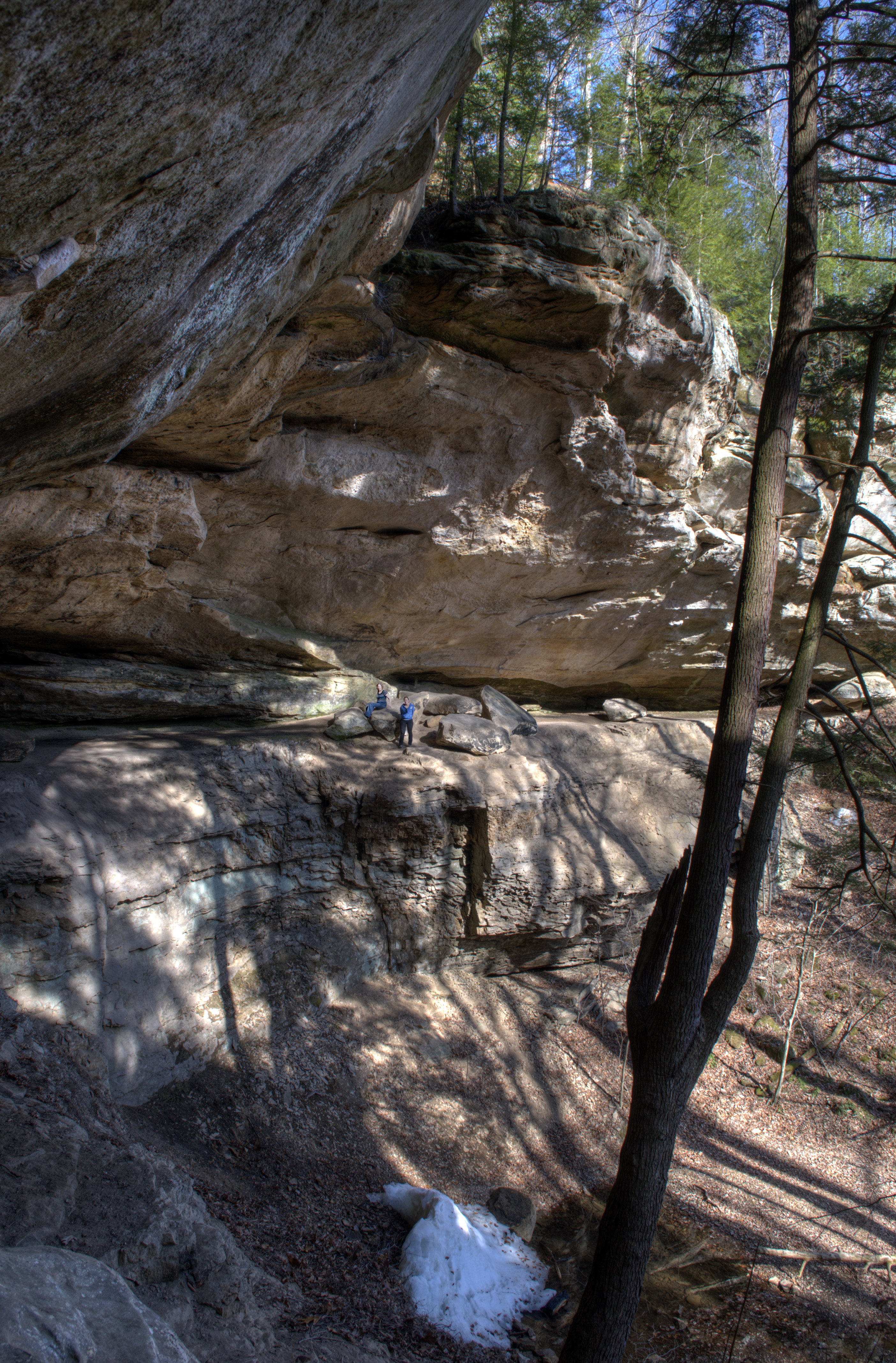
hemlock cliffs 2
hemlock cliffs

West Leopold Circle Road Bridge, Perry County, IN

Ohio River Scenic Byway (Perry County, Indiana)

NS 77J, Mentor, IN
MPB 14-62-01, Perry County, Indiana
MPB 14-62-01, Perry County, Indiana
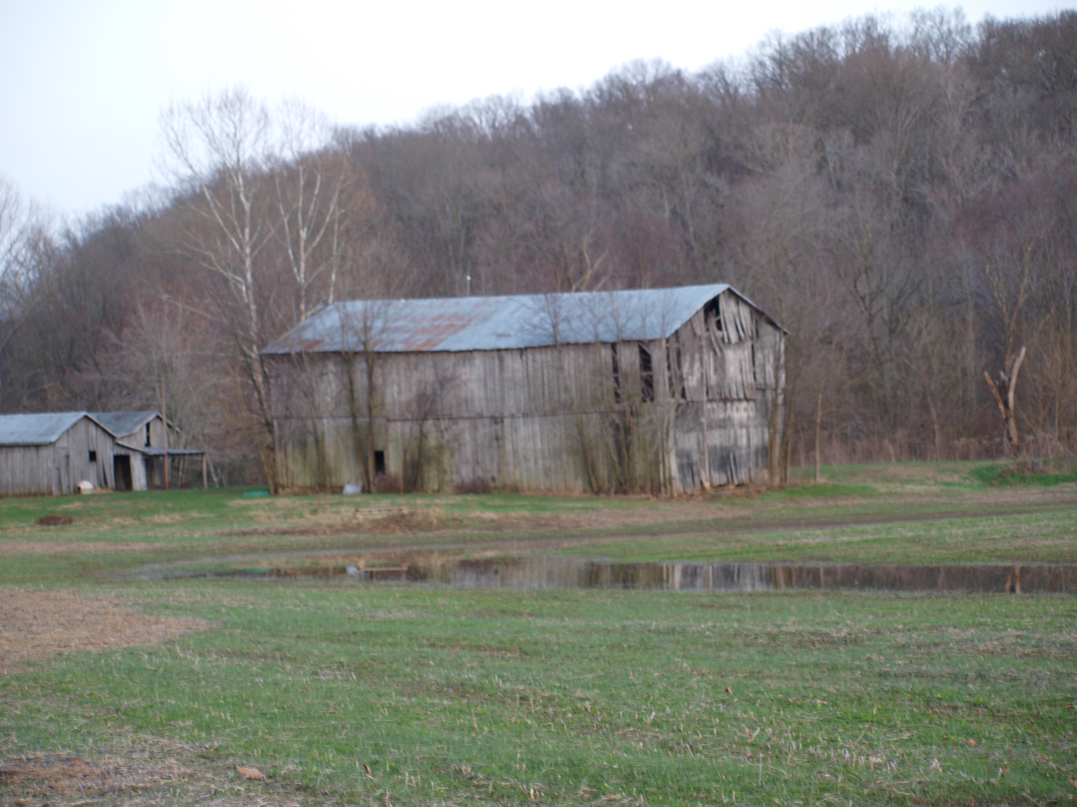
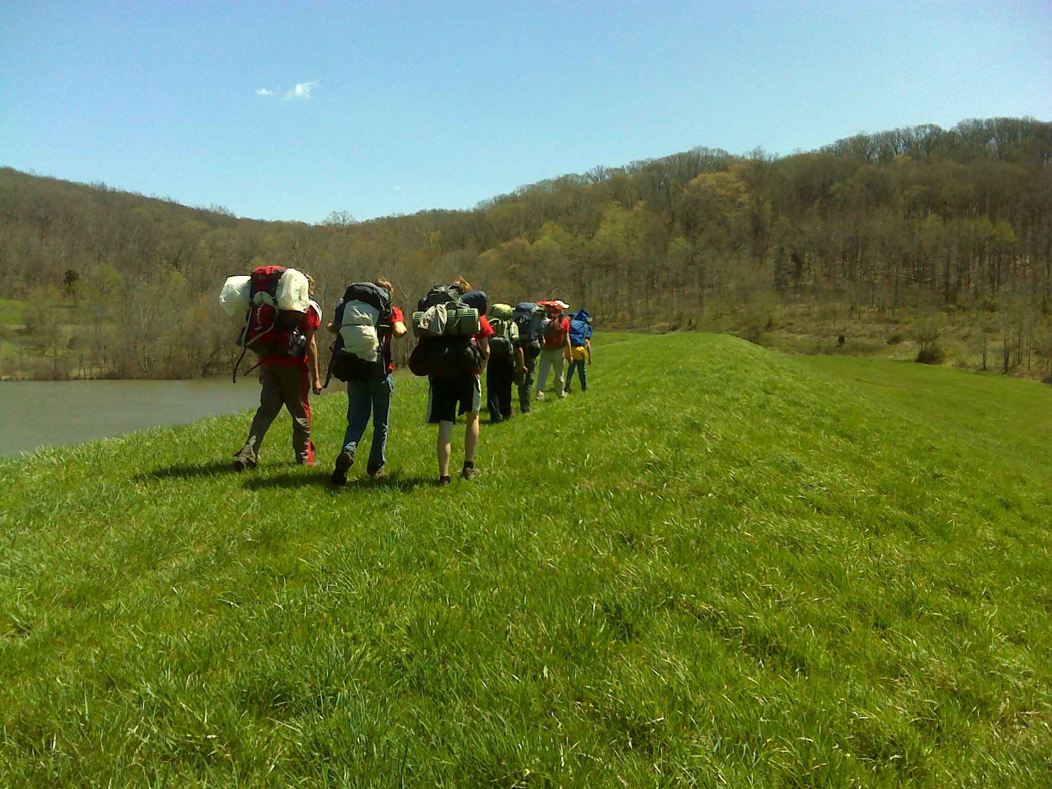
2013 April--Twin Lakes (1)
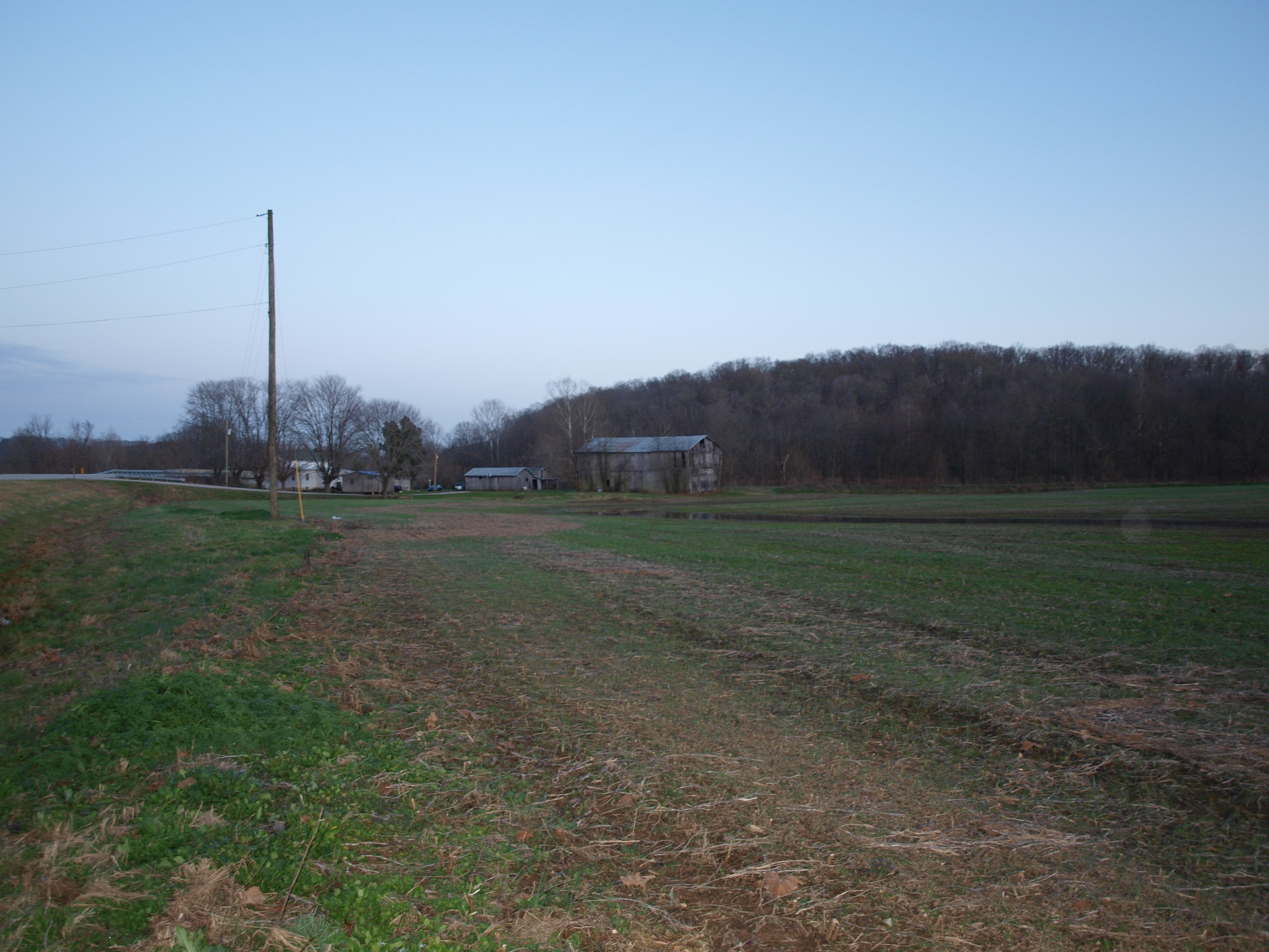
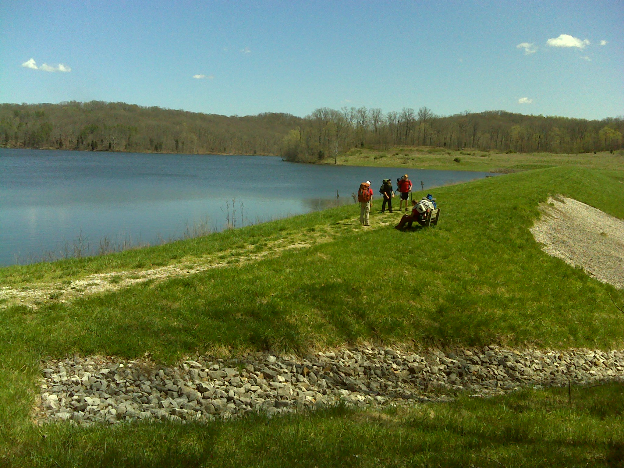
2013 April--Twin Lakes (20)
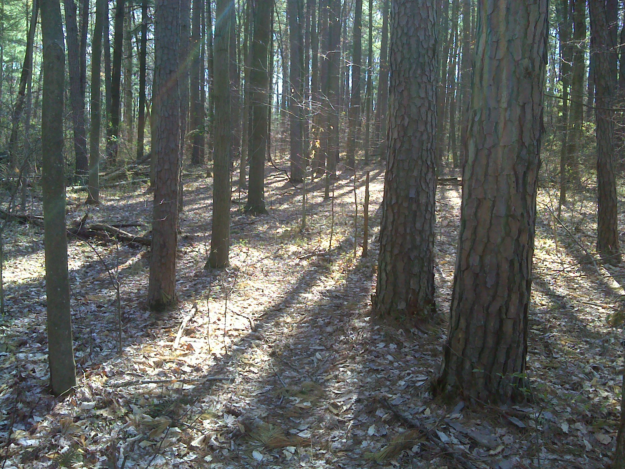
2013 April--Twin Lakes (19)
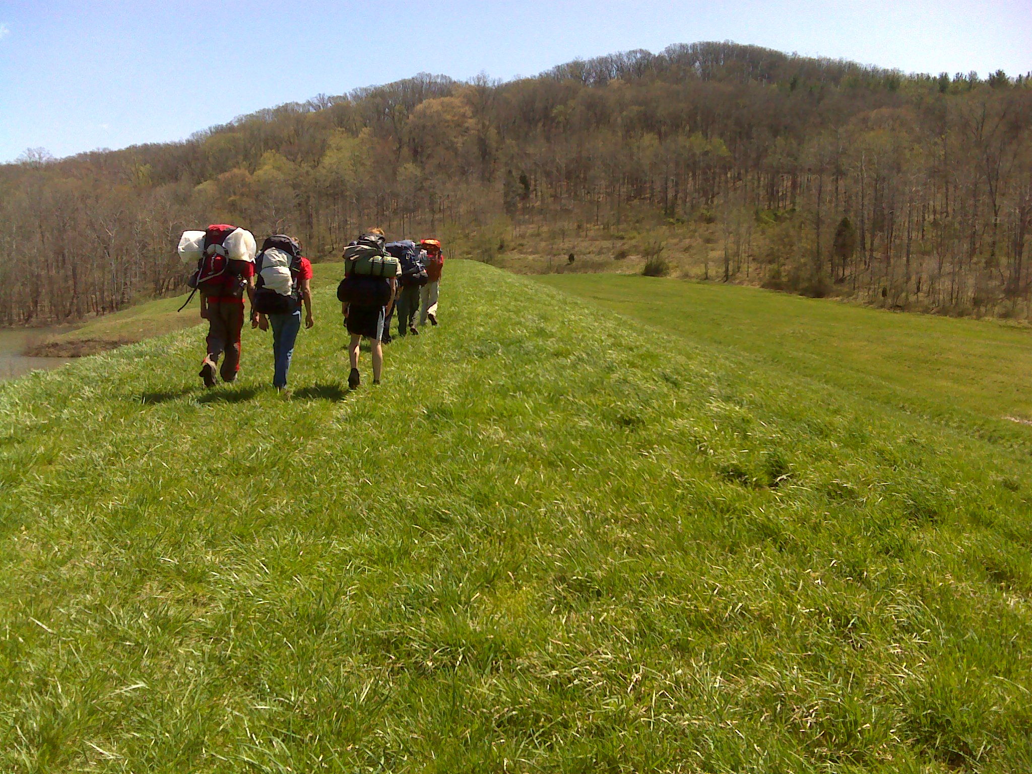
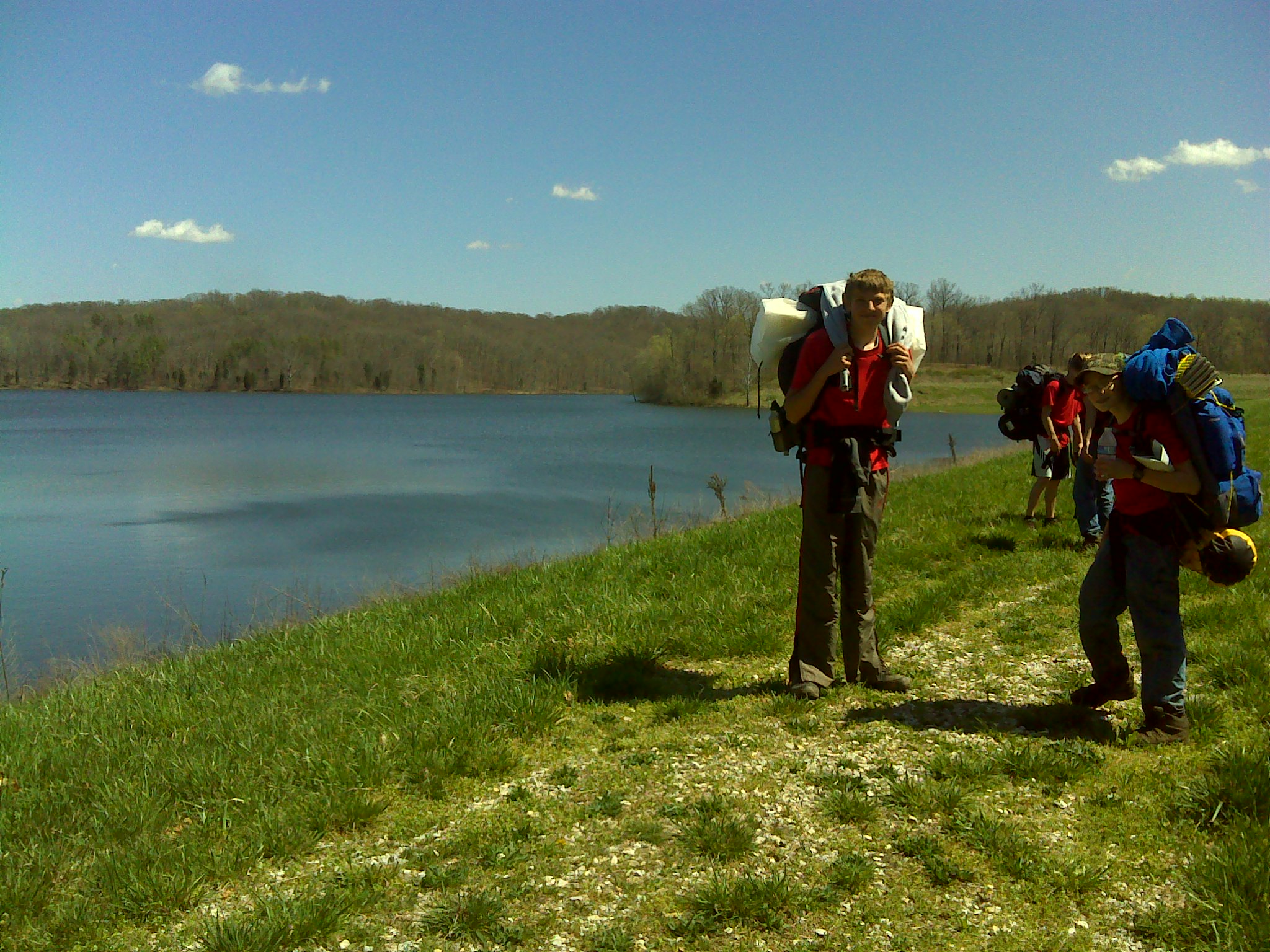
2013 April--Twin Lakes (27)
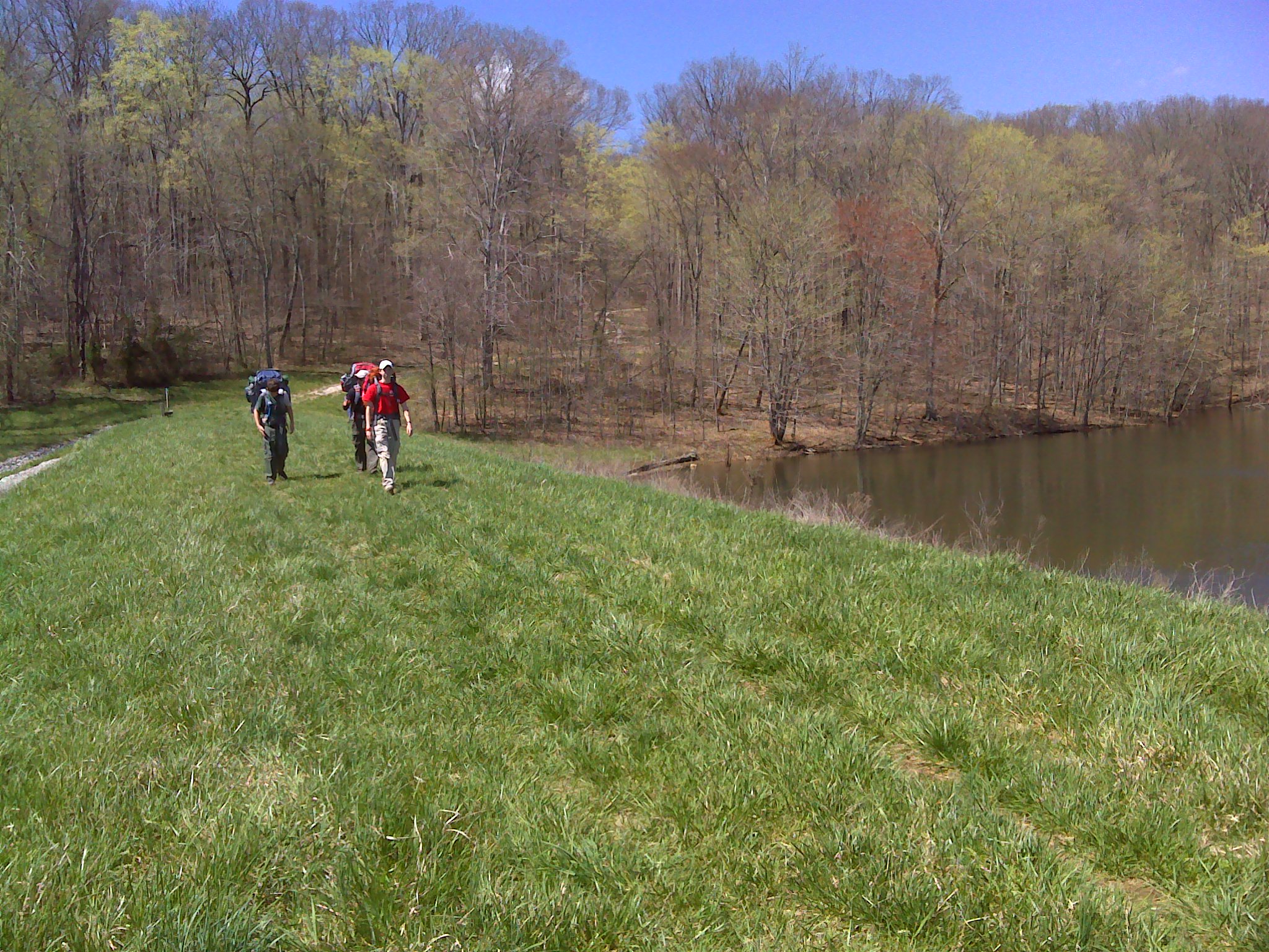
2013 April--Twin Lakes (28)
2013 April--Twin Lakes (29)

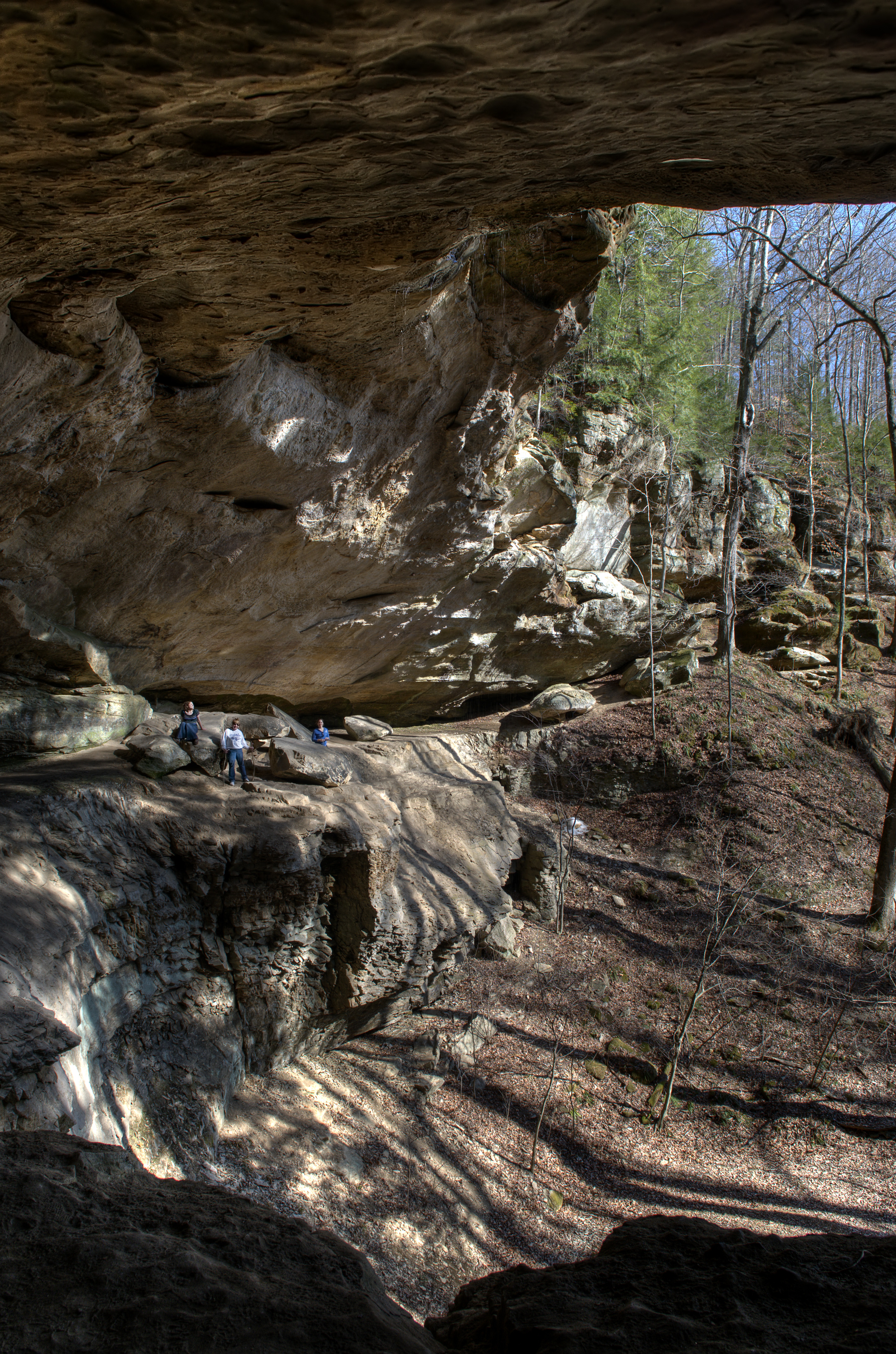
Hemlock Cliffs 2014

Small Ice Formations in a Cave at Hemlock Cliffs
Topographic Map of Saint Croix, St Croix, IN, USA
Find elevation by address:

Places in Saint Croix, St Croix, IN, USA:
Places near Saint Croix, St Croix, IN, USA:
Doolittle Mills Rd, English, IN, USA
Old State Rd 37, Branchville, IN, USA
IN-62, English, IN, USA
Branchville
Oil Township
Union Township
N Apalona Rd, St Croix, IN, USA
Johnson Township
Governors Trce, English, IN, USA
Oliver Rd, Leopold, IN, USA
Bradford St, Eckerty, IN, USA
24189 In-145
IN-62, Bristow, IN, USA
5 Cherry St, Birdseye, IN, USA
Birdseye
Clark Township
Jefferson Township
Cattail Rd, Bristow, IN, USA
S Kyana Rd, Birdseye, IN, USA
Camille Rd, St Meinrad, IN, USA
Recent Searches:
- Elevation of Congressional Dr, Stevensville, MD, USA
- Elevation of Bellview Rd, McLean, VA, USA
- Elevation of Stage Island Rd, Chatham, MA, USA
- Elevation of Shibuya Scramble Crossing, 21 Udagawacho, Shibuya City, Tokyo -, Japan
- Elevation of Jadagoniai, Kaunas District Municipality, Lithuania
- Elevation of Pagonija rock, Kranto 7-oji g. 8"N, Kaunas, Lithuania
- Elevation of Co Rd 87, Jamestown, CO, USA
- Elevation of Tenjo, Cundinamarca, Colombia
- Elevation of Côte-des-Neiges, Montreal, QC H4A 3J6, Canada
- Elevation of Bobcat Dr, Helena, MT, USA