Elevation of IN-62, English, IN, USA
Location: United States > Indiana > Crawford County > Sterling Township > English >
Longitude: -86.526702
Latitude: 38.233511
Elevation: 155m / 509feet
Barometric Pressure: 99KPa
Elevation Map:
Satellite Map:
Related Photos:

Fancy Ironwork
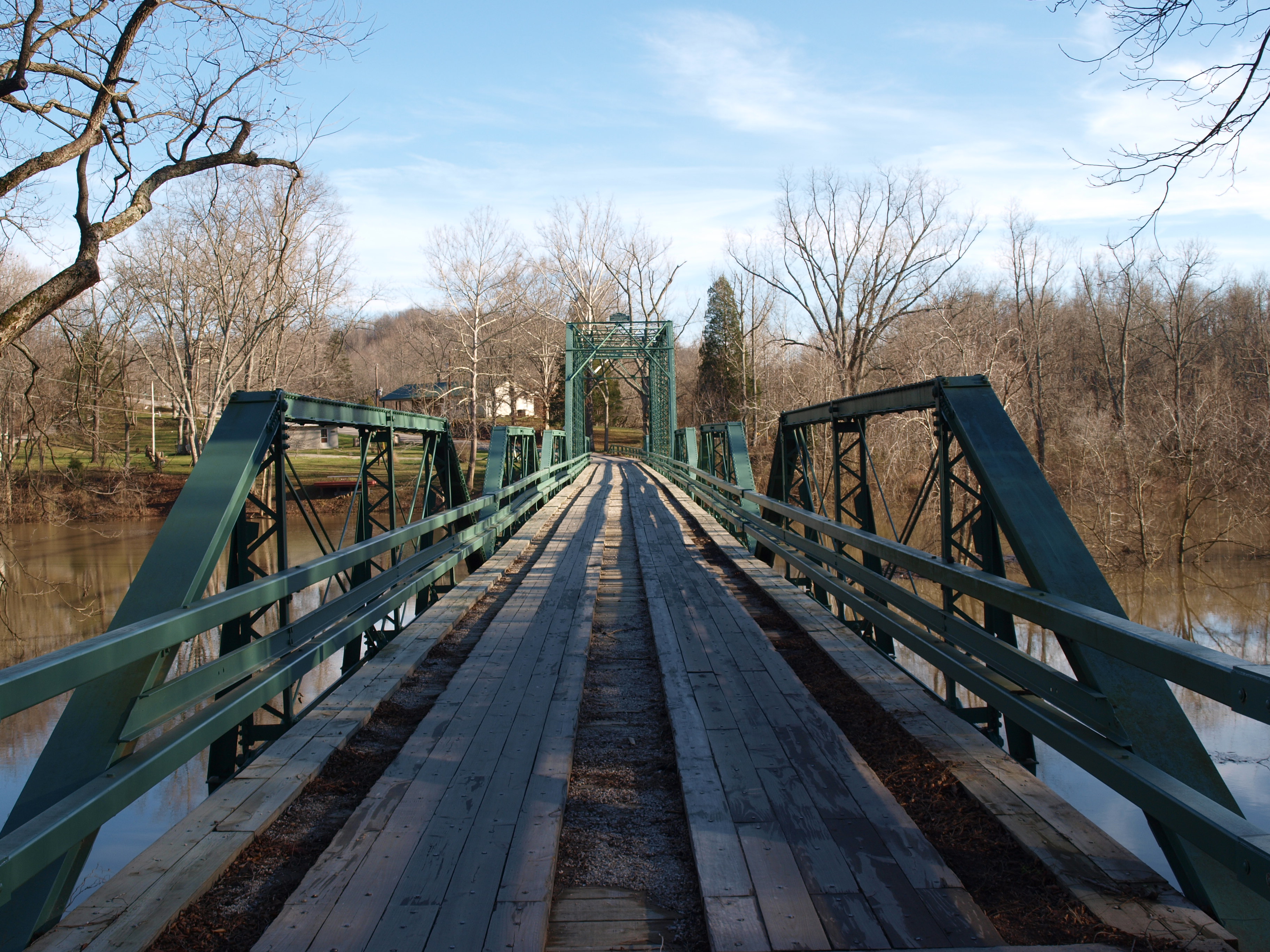
Alton Bridge barrel view, Crawford County, IN
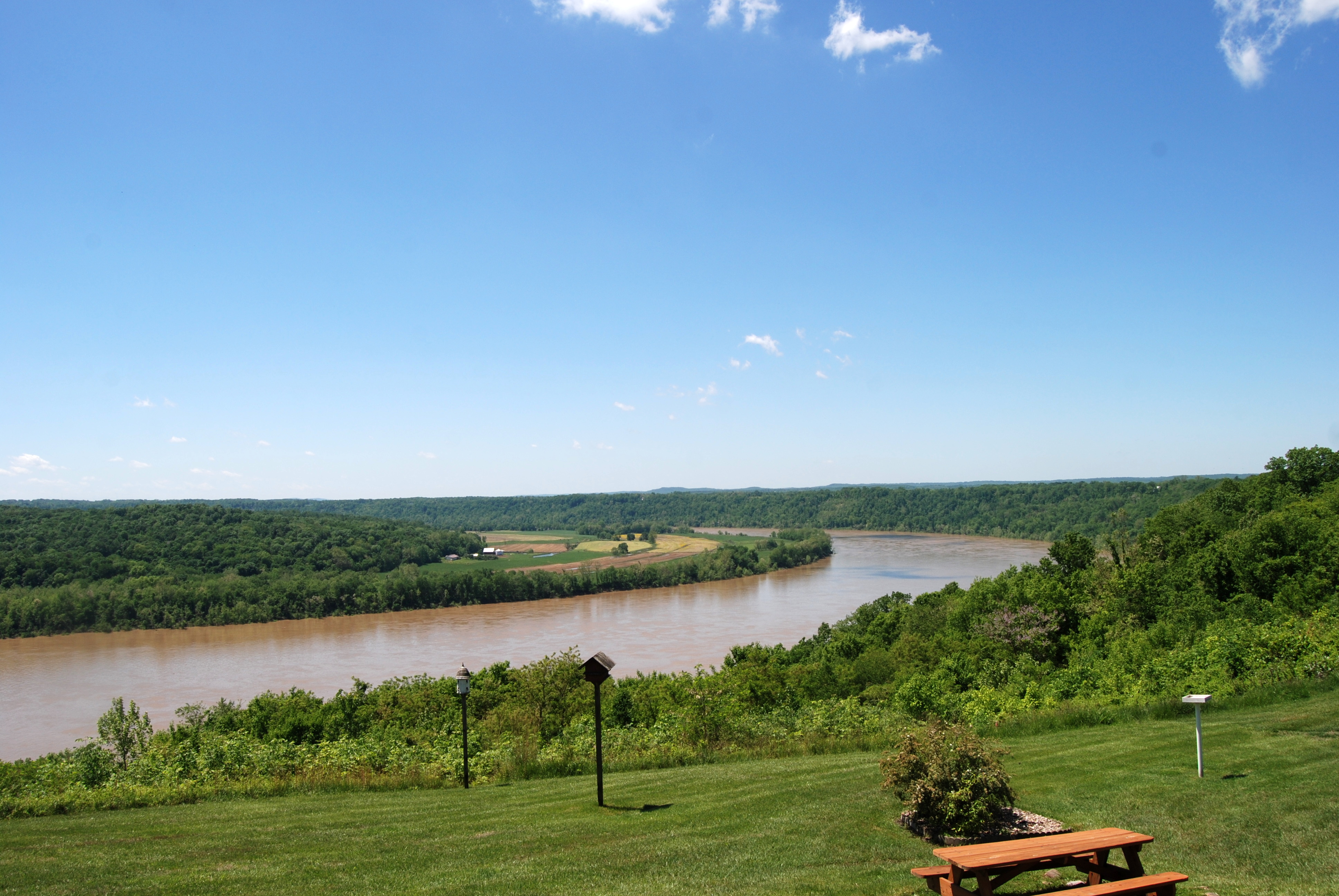
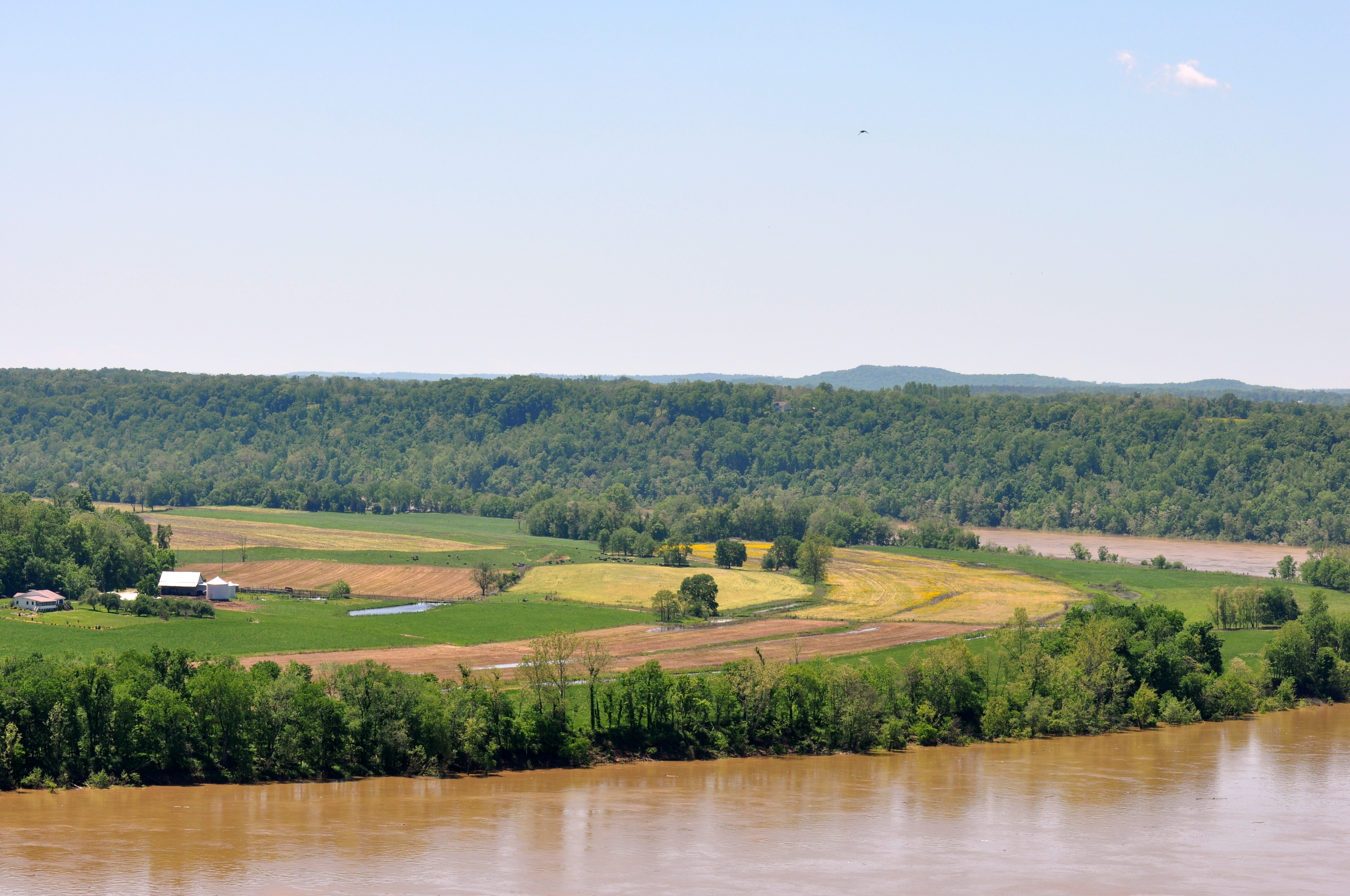
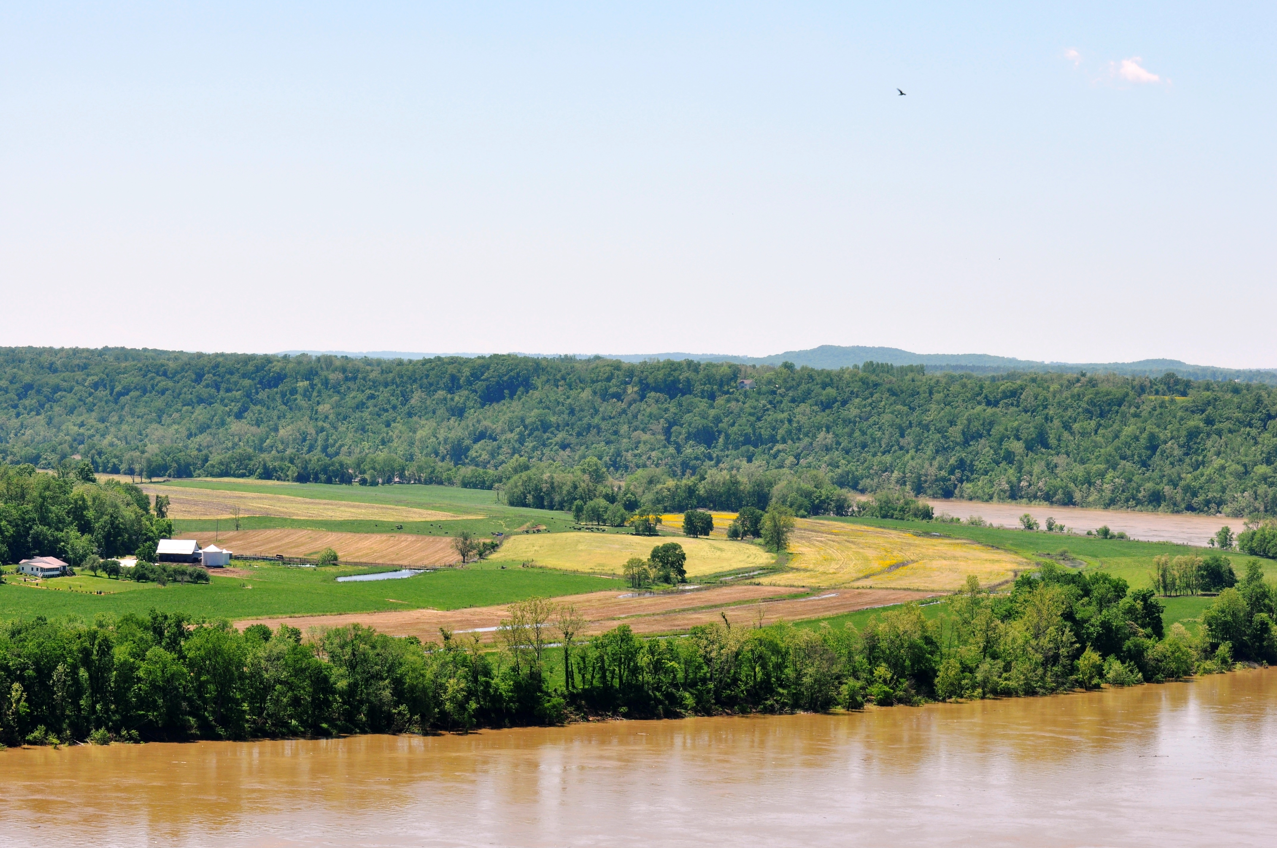
Great View of the Ohio River
Leavenworth, Indiana
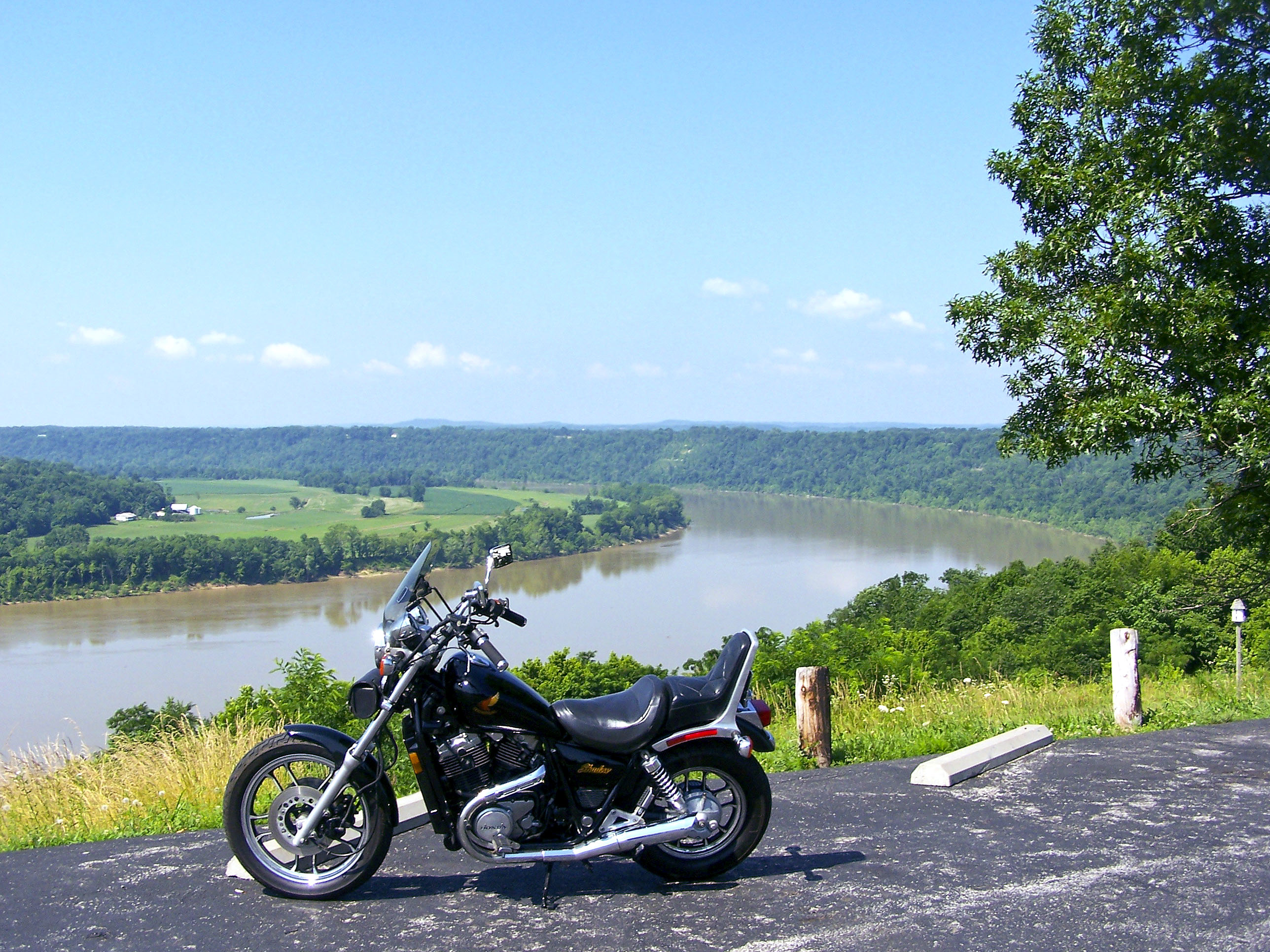
Great place to relax and enjoy the view
Same view
View as you pull up

Great view
Just a reminder of what Summer looks like
hemlock cliffs 2
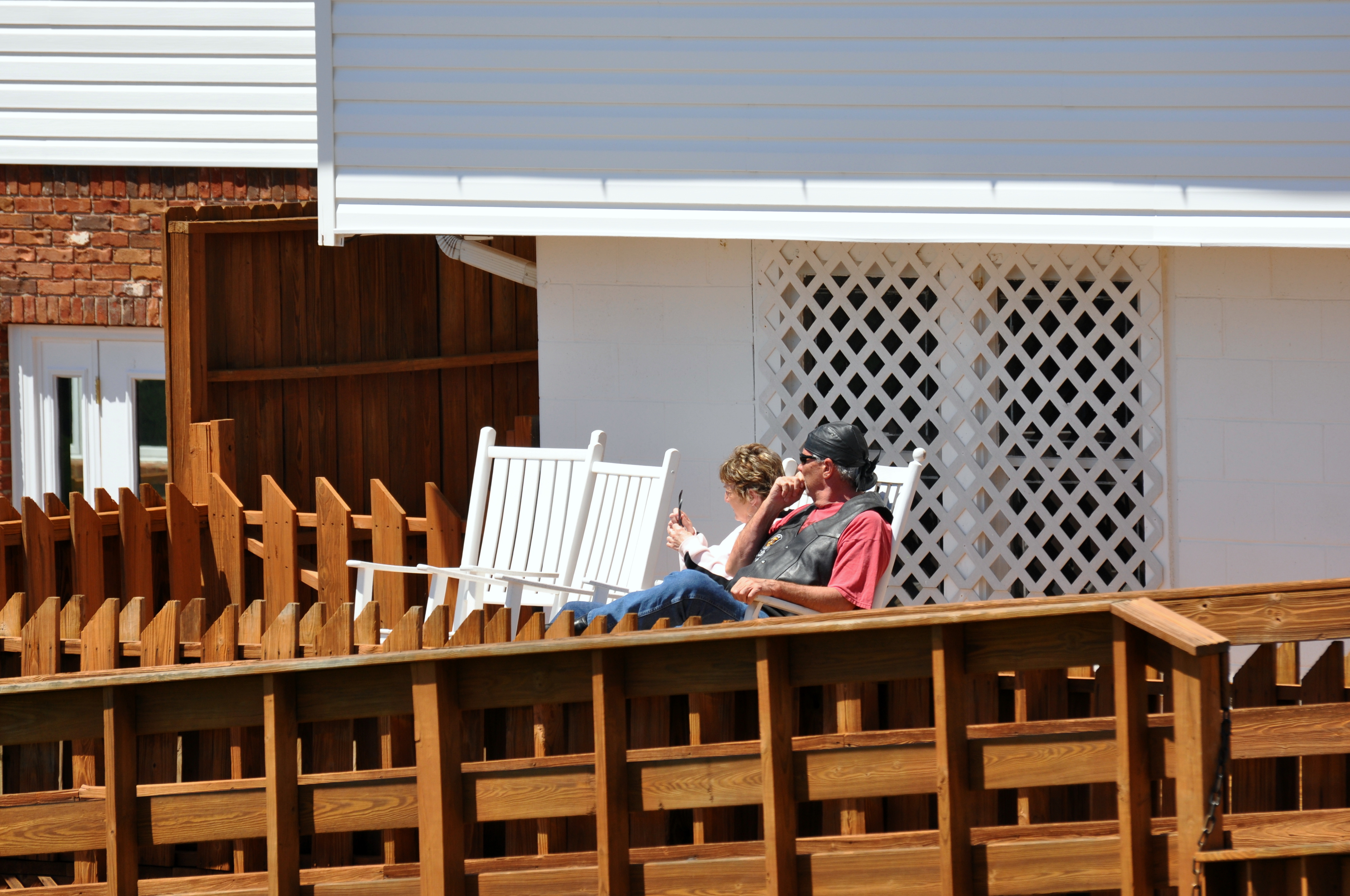
Overlook Restaurant

Ohio River SR 62 EB W edge of Leavenworth
Overlook Restaurant
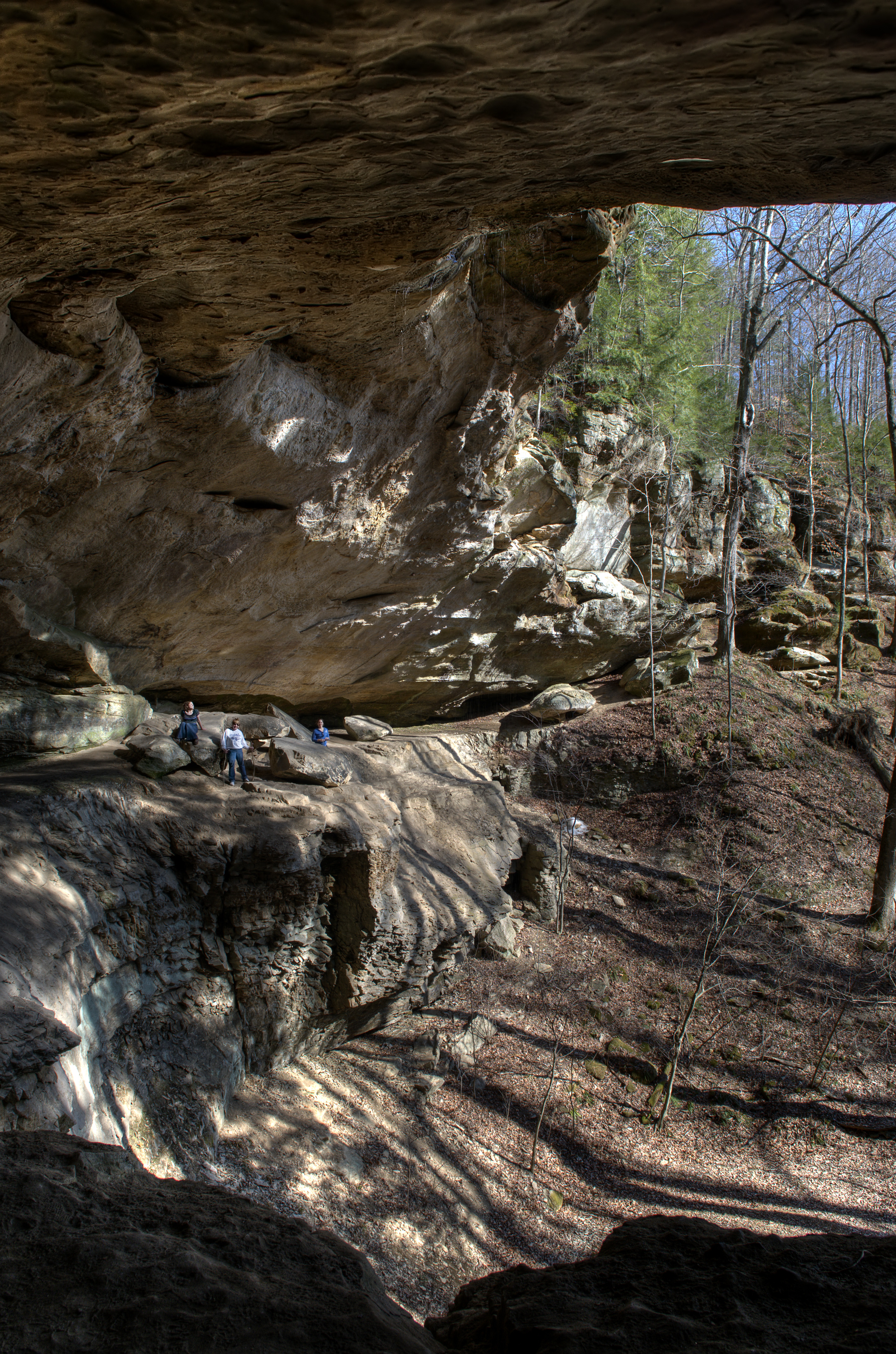
hemlock cliffs

West Leopold Circle Road Bridge, Perry County, IN

Ohio River Scenic Byway (Perry County, Indiana)
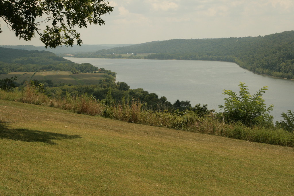
Ohio River
Topographic Map of IN-62, English, IN, USA
Find elevation by address:

Places near IN-62, English, IN, USA:
Union Township
Saint Croix
Oliver Rd, Leopold, IN, USA
Governors Trce, English, IN, USA
Doolittle Mills Rd, English, IN, USA
Oil Township
Branchville
Old State Rd 37, Branchville, IN, USA
Bradford St, Eckerty, IN, USA
Johnson Township
N Apalona Rd, St Croix, IN, USA
24189 In-145
IN-62, Bristow, IN, USA
5 Cherry St, Birdseye, IN, USA
Birdseye
Jefferson Township
Clark Township
Cattail Rd, Bristow, IN, USA
S Kyana Rd, Birdseye, IN, USA
Camille Rd, St Meinrad, IN, USA
Recent Searches:
- Elevation of Congressional Dr, Stevensville, MD, USA
- Elevation of Bellview Rd, McLean, VA, USA
- Elevation of Stage Island Rd, Chatham, MA, USA
- Elevation of Shibuya Scramble Crossing, 21 Udagawacho, Shibuya City, Tokyo -, Japan
- Elevation of Jadagoniai, Kaunas District Municipality, Lithuania
- Elevation of Pagonija rock, Kranto 7-oji g. 8"N, Kaunas, Lithuania
- Elevation of Co Rd 87, Jamestown, CO, USA
- Elevation of Tenjo, Cundinamarca, Colombia
- Elevation of Côte-des-Neiges, Montreal, QC H4A 3J6, Canada
- Elevation of Bobcat Dr, Helena, MT, USA